The best gravel rides around Pasadena
4.0
(4)
124
riders
31
rides
If you've ever tried to plan a gravel biking trip around Pasadena, you know how quickly the options can become overwhelming. With so many fire roads and trails winding through the foothills, it's tough to tell which routes are genuinely worth your time and effort, and which are just filler. That's where we come in. Our komoot community has mapped, ridden, and reviewed countless routes, and we've distilled all that local knowledge into a curated shortlist of the best gravel…
Last updated: June 1, 2026
2
riders
44.5km
05:02
1,660m
1,660m
The Mount Lukens and Josephine Peak Loop is a formidable gravel biking challenge, winding through the Angeles National Forest with constant, steep climbs and rewarding panoramic vistas. You'll navigate dirt…
3.0
(2)
2
riders
24.0km
02:41
810m
820m
The Strawberry Peak and Colby Canyon Loop is a demanding 14.9-mile (24.0 km) gravel biking route in the San Gabriel Mountains, known for its diverse and challenging terrain. You'll start…

5.0
(1)
17
riders
46.7km
04:38
1,710m
1,710m
Hard gravel ride. Very good fitness required. Mostly paved surfaces. Suitable for all skill levels.
17
riders
Hard gravel ride. Very good fitness required. Mostly paved surfaces. Suitable for all skill levels.
11
riders
24.4km
02:34
1,070m
1,070m
Hard gravel ride. Very good fitness required. Mostly paved surfaces. Suitable for all skill levels.
Get access to more routes and recommendations from other explorers.
Already have an account?
Our route recommendations are based on thousands of hikes, rides, and runs completed by other people on komoot.
Start today with a free account
Your next adventure awaits.
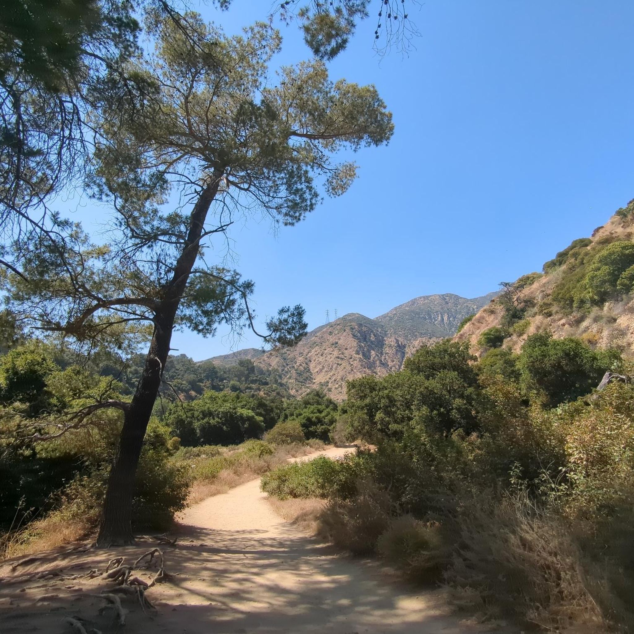
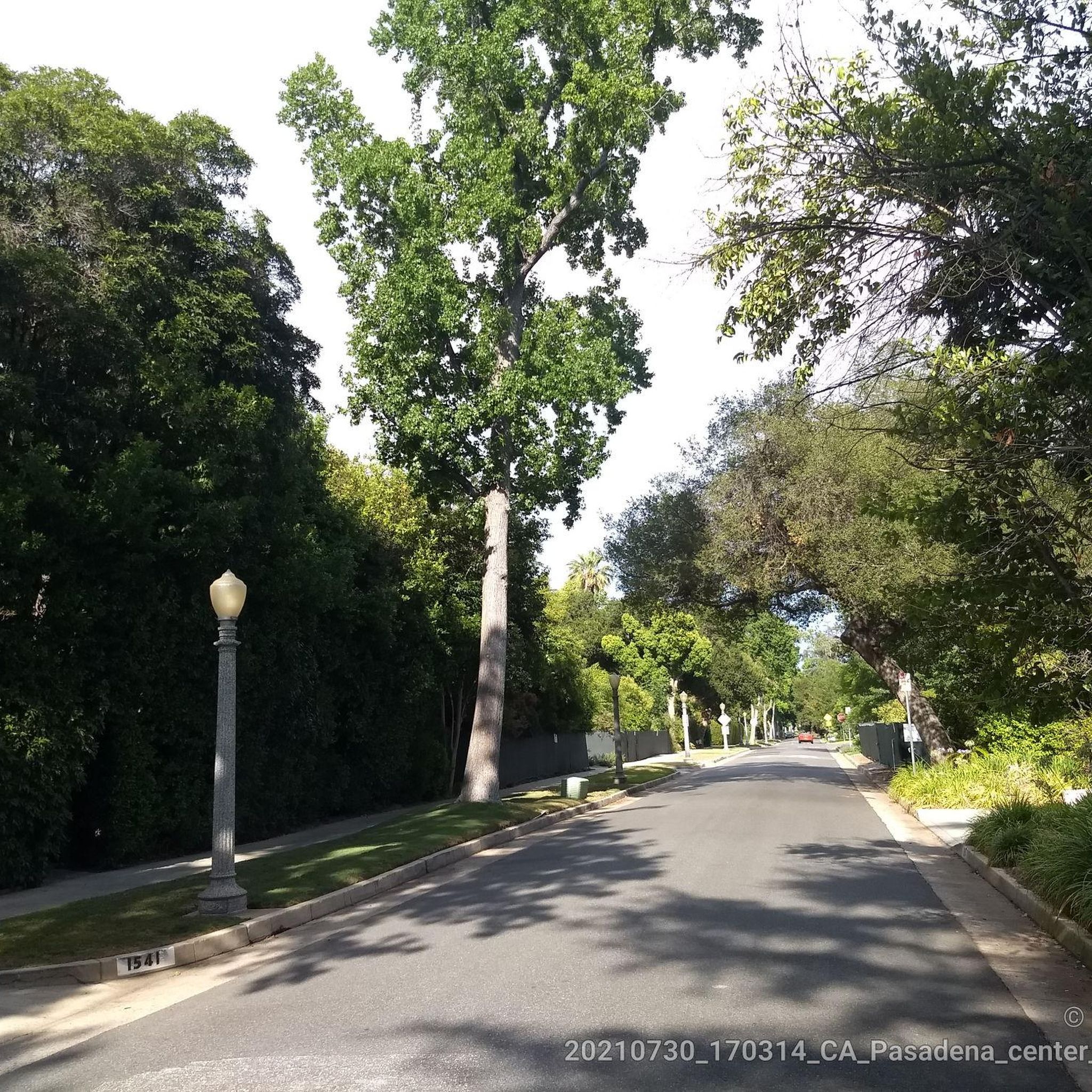
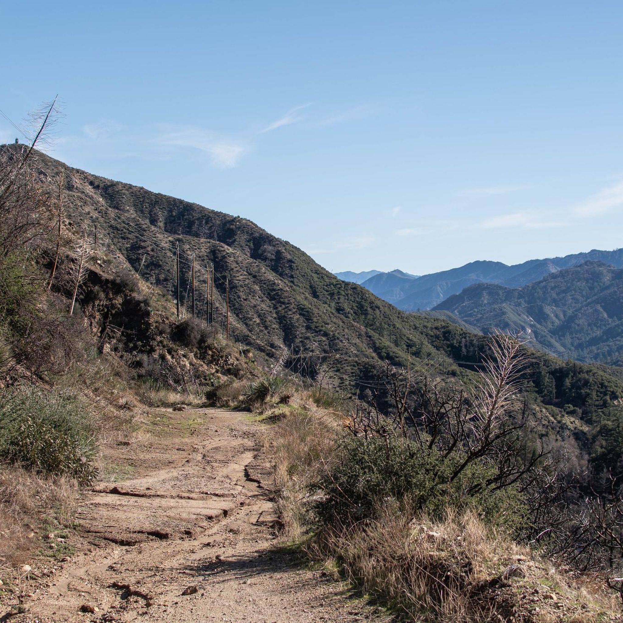
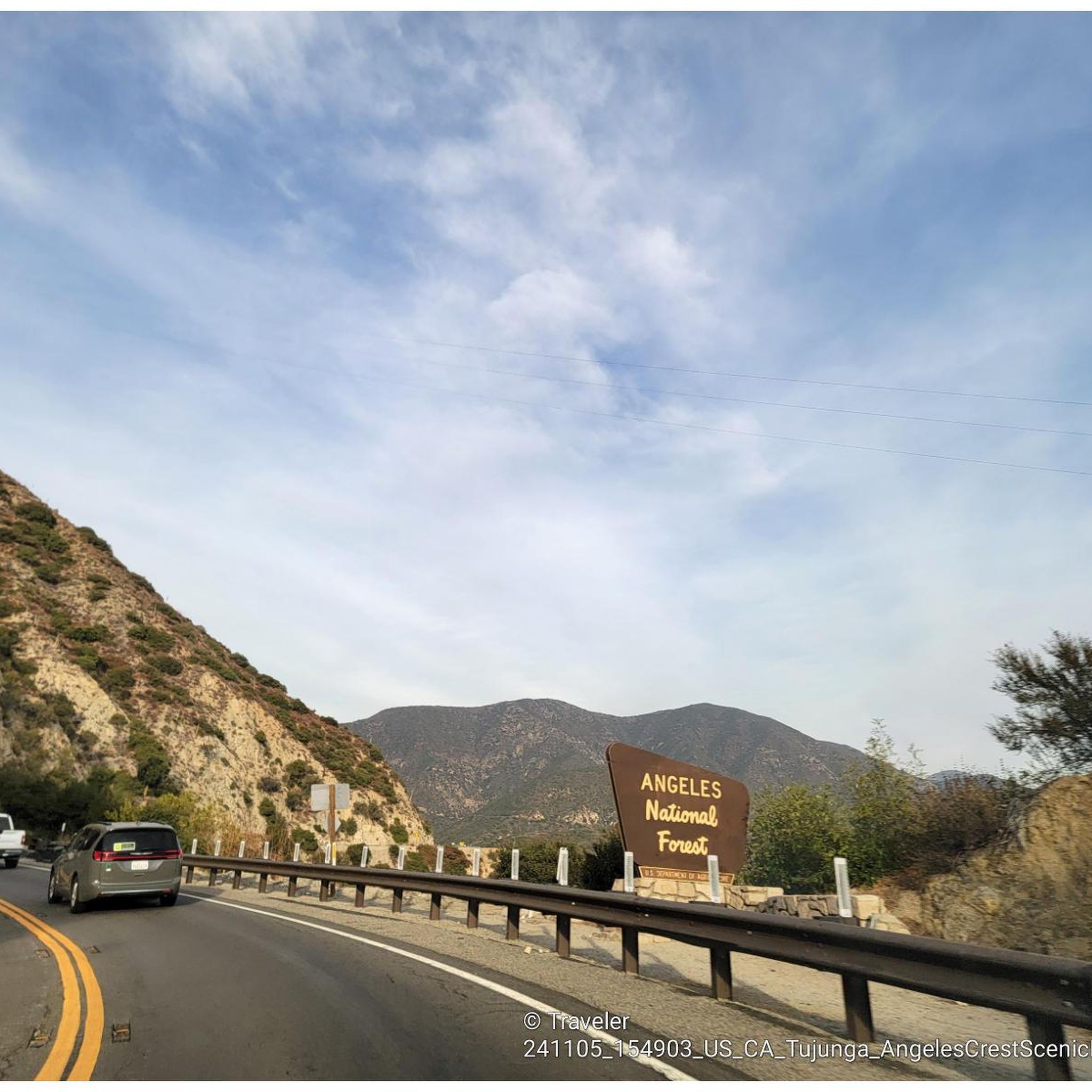

Tips from the Community

Short tunnel on the eastern slope below San Gabriel Peak, part of the old Mt Lowe Motorway, that was never paved. The tunnel is very short, so you don't have to worry about bringing light. The road continues to the trailhead half a mile uphill.
0
0

A solid entry to the Verdugo Mountains with rewarding climbs and views, but watch the start—there are ruts and leftover metal pieces on the trail. Stay alert and pick your line carefully to avoid punctures or spills before the smoother sections begin.
1
0
Just below the Mt Wilson Trailhead on Red Box Road, this overlook and memorial is a perfect place to pause. Sit and take in sweeping views of the San Gabriel Valley, and read the memorial plaque honoring early conservation efforts.
0
0
Henninger Flats sits along the road with views of Altadena. You’ll pass by it while climbing the Mt. Wilson Toll Road and can take a moment to catch your breath while enjoying the views. The route features a steady climb with minimal shade, so it’s best to start early, especially in summer. At the top, enjoy panoramic views of the San Gabriel Valley and explore the area, which includes a visitor center, picnic spots, and a tree nursery.
0
0
For a ride with history and views, check out the Ye Alpine Tavern ruins in the San Gabriel Mountains. Once a popular mountain resort, it burned down in 1936 and was later demolished, but you can still spot the stone fireplace, foundation, and water tank.
0
0
Andrea Wilson Triangle is a small protected area along Chaney Trail in Altadena. Though not a developed trail, it’s part of a larger effort to preserve open space and wildlife habitat in the foothills near Angeles National Forest.
0
0

This tunnel was blasted into existence in 1942 to form the old Mount Lowe Motorway.
0
0

This trail winds through a shaded canyon, brush, beautiful rock faces and scenic views before descending to picturesque meadows in the shadow of Strawberry Peak's striking north face. The descent to Red Box Gap is a thrilling ride!
0
0
Frequently Asked Questions
How many gravel bike trails are available around Pasadena?
There are over 30 gravel bike trails documented around Pasadena on komoot. While many routes are rated as difficult, offering significant climbs and rugged terrain, there are also some moderate options available for those looking for a less intense ride.
What kind of terrain can I expect on gravel bike trails near Pasadena?
Gravel biking around Pasadena primarily features extensive fire roads and dirt trails, often traversing the Angeles National Forest. You'll encounter varied surfaces, from rugged mountain environments to sections where paved roads transition to dirt. Expect challenging climbs and descents, with panoramic views of the surrounding mountains and Los Angeles.
Are there any easy gravel bike trails for beginners in Pasadena?
While many of the documented routes are challenging, beginners can find suitable starting points. The Gabrielino Trail next to JPL, leading to the Brown Mountain Dam waterfall, is often recommended for new gravel bikers due to its less steep incline. Cherry Canyon is also mentioned as suitable for beginners, though it can still be demanding for novices.
What is the best time of year for gravel biking in Pasadena?
Pasadena enjoys a sunny climate with approximately 300 days of sunshine, making it an appealing outdoor destination year-round. However, for the most comfortable riding conditions, spring and fall offer milder temperatures. Summer can be hot, especially on exposed climbs, so early morning rides are advisable. Winter riding is generally pleasant, though higher elevations in the Angeles National Forest might experience colder temperatures.
Are there any gravel bike trails that offer scenic viewpoints or landmarks?
Yes, many gravel routes in the Pasadena area offer stunning views and pass by notable landmarks. For instance, the Mount Lukens and Josephine Peak Loop provides panoramic views of the surrounding mountains. The Strawberry Peak and Colby Canyon Loop offers expansive views of Los Angeles from the Angeles National Forest. Additionally, the Ye Alpine Tavern ruins – Inspiration Point loop from John Muir High School includes a visit to Inspiration Point, a historic viewpoint.
Can I find any loop routes for gravel biking in Pasadena?
Yes, several popular gravel biking routes around Pasadena are designed as loops, allowing you to start and end at the same point. Examples include the challenging Mount Lukens and Josephine Peak Loop, the Strawberry Peak and Colby Canyon Loop, and the Mueller Tunnel – Mueller Tunnel loop from Altadena.
Are there any waterfalls accessible from gravel bike trails in Pasadena?
Yes, you can access beautiful waterfalls near some gravel biking areas. The Eaton Canyon Waterfall is a popular natural feature in the region, and the Gabrielino Trail, a good starting point for beginners, leads towards the Brown Mountain Dam waterfall. Other notable waterfalls in the vicinity include Trail Canyon Falls and Upper Switzer Falls.
What do other gravel bikers enjoy most about gravel biking in Pasadena?
The gravel biking routes around Pasadena are highly rated by the komoot community, with an average score of 4.0 stars. Riders often praise the diverse terrain, from fire roads to challenging mountain climbs, and the stunning panoramic views of the San Gabriel Mountains and Los Angeles. The ability to explore vast natural areas like the Angeles National Forest is also a significant draw.
Are there any nearby attractions or points of interest to explore after a ride?
Absolutely! Pasadena and its surroundings offer numerous attractions. You could visit the historic Colorado Street Bridge, explore the beautiful Brand Library & Park, or enjoy the natural beauty of Eaton Canyon. For more extensive botanical experiences, Descanso Gardens or The Huntington Library, Art Museum, and Botanical Gardens are nearby. You can find more information about local attractions at visitpasadena.com.
Are there specific areas known for wildlife viewing while gravel biking?
The Angeles National Forest, which many gravel routes traverse, is home to diverse wildlife. While specific sightings are never guaranteed, you might encounter various bird species, deer, and other small mammals. Riding quietly, especially during dawn or dusk, increases your chances of observing local fauna in their natural habitat.
Are there any family-friendly gravel biking options in Pasadena?
While many routes are challenging, some areas offer more gentle terrain suitable for families or those with less experience. Hahamongna Watershed Park (Arroyo Seco) features a bicycle trail that is generally flatter and more accessible. For a taste of gravel, the less steep sections of the Gabrielino Trail are also a good option for families looking to try gravel biking.
What should I consider regarding parking and public transport for gravel biking in Pasadena?
Parking availability varies by trailhead. Many trailheads in the Angeles National Forest or near popular parks like Eaton Canyon offer parking lots, though they can fill up quickly on weekends. Public transport options directly to remote trailheads are limited, so driving to a starting point is often the most practical choice. Always check specific trailhead information for parking details before your ride.
Most popular routes around Pasadena
Most popular attractions around Pasadena

Get inspired with the komoot mobile app


Explore more
Browse the best Gravel rides in other regions.
