The best gravel rides around South Pasadena
5.0
(1)
67
riders
22
rides
Gravel biking around South Pasadena offers access to varied terrain, from urban pathways to challenging mountain trails. The region is characterized by its proximity to the San Gabriel Mountains and the Angeles National Forest, providing extensive unpaved routes and significant elevation gains. The Arroyo Seco also features a mix of paved and unpaved segments, suitable for diverse gravel cycling experiences. Numerous fire roads and dirt trails are accessible, allowing riders to explore the rugged landscape.
Best gravel bike trails around…
Last updated: July 12, 2026
5.0
(1)
17
riders
46.7km
04:38
1,710m
1,710m
Hard gravel ride. Very good fitness required. Mostly paved surfaces. Suitable for all skill levels.
17
riders
32.1km
02:55
910m
910m
Hard gravel ride. Very good fitness required. Mostly paved surfaces. Suitable for all skill levels.

Sign up for free
11
riders
24.5km
02:34
1,070m
1,070m
Hard gravel ride. Very good fitness required. Mostly paved surfaces. Suitable for all skill levels.
11
riders
53.0km
03:51
1,060m
1,060m
Hard gravel ride. Very good fitness required. Mostly paved surfaces. Suitable for all skill levels.
6
riders
16.0km
01:38
560m
560m
If you're seeking a demanding gravel biking experience with big payoffs, the Mount Thom Viewpoint – Tongva Peak loop from Glendale Community College delivers. This difficult 10.0-mile (16.0 km) route…
Get access to more routes and recommendations from other explorers.
Sign up for free
Already have an account?
Our route recommendations are based on thousands of hikes, rides, and runs completed by other people on komoot.
Start today with a free account
Your next adventure awaits.
Login or Signup

Tips from the Community

Short tunnel on the eastern slope below San Gabriel Peak, part of the old Mt Lowe Motorway, that was never paved. The tunnel is very short, so you don't have to worry about bringing light. The road continues to the trailhead half a mile uphill.
0
0


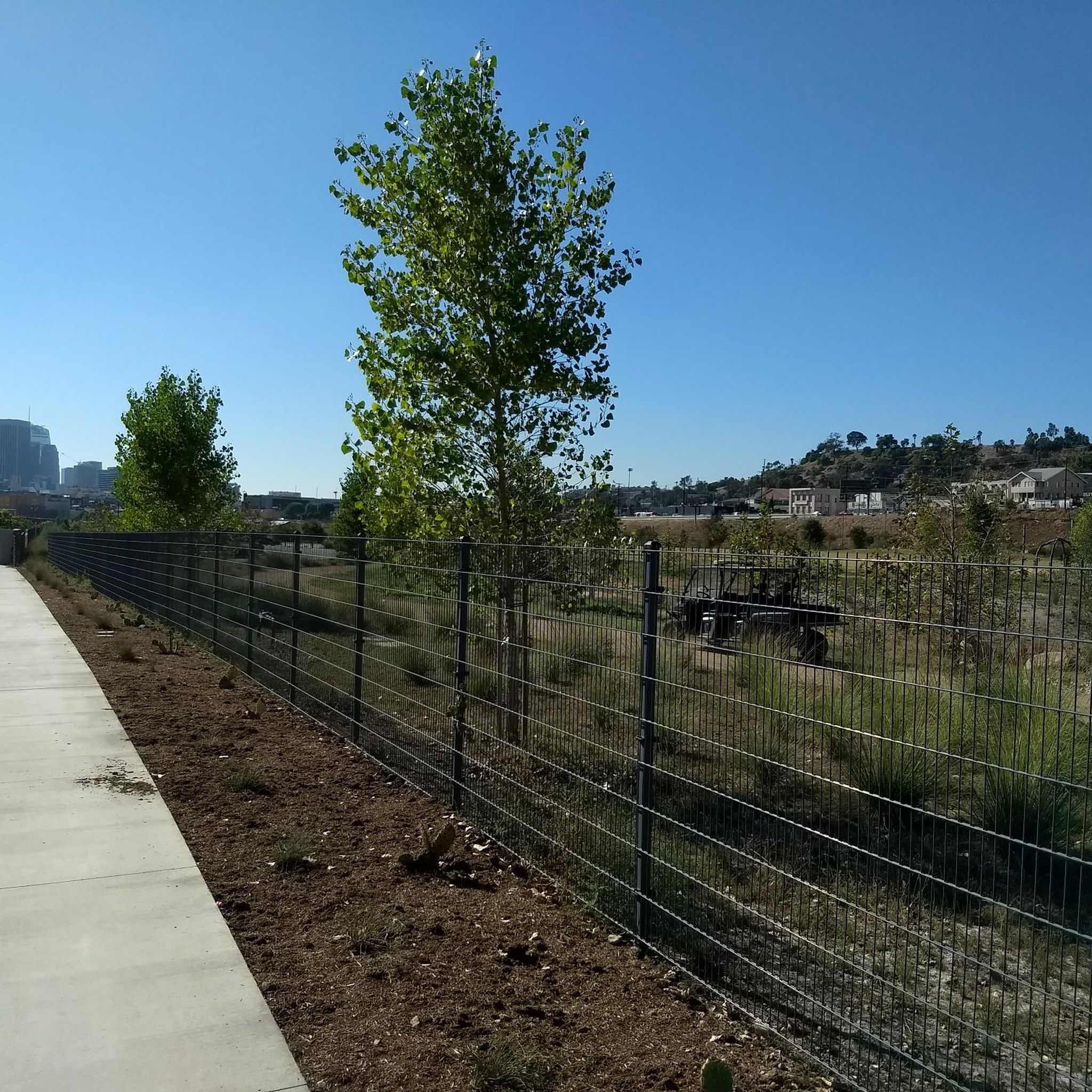
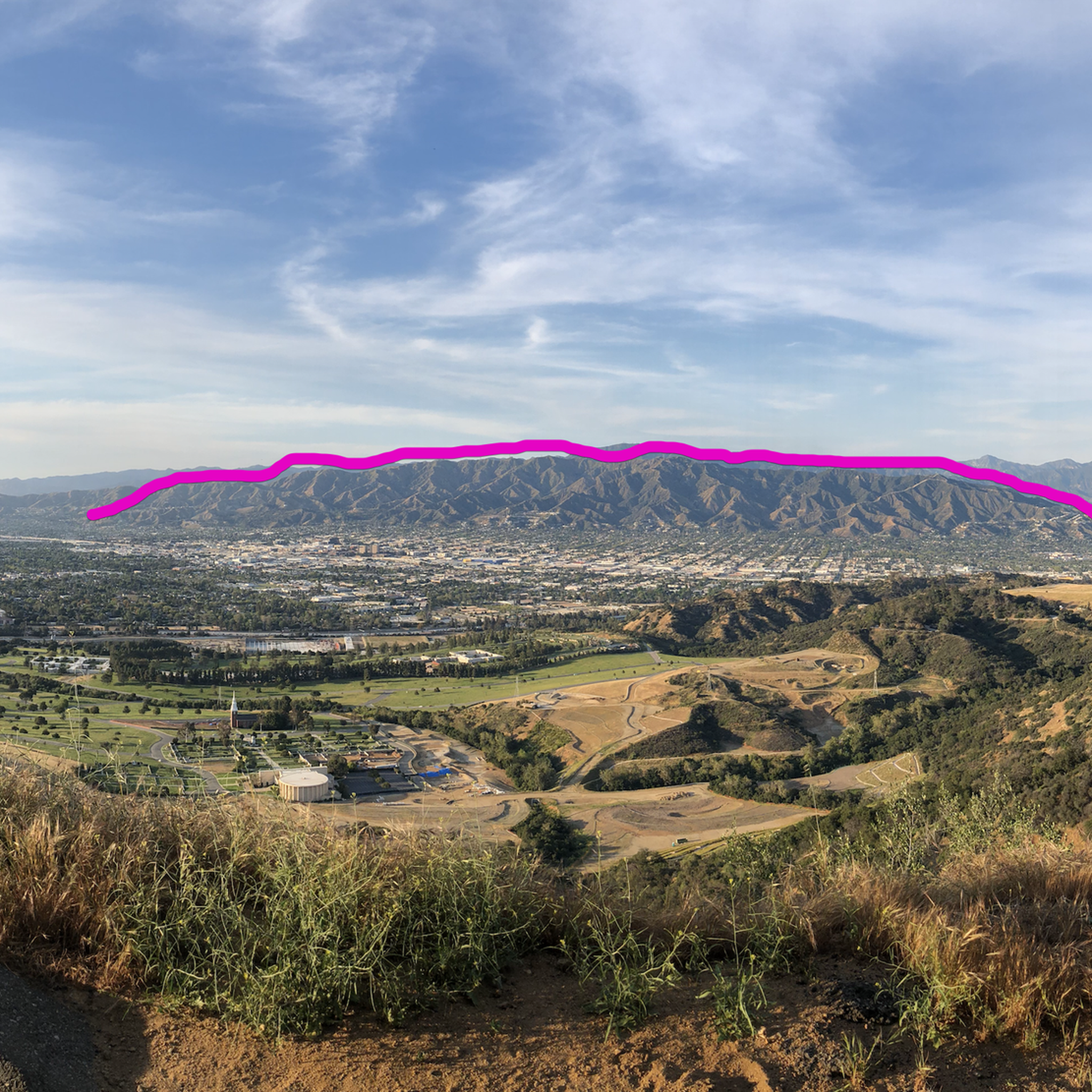
A solid entry to the Verdugo Mountains with rewarding climbs and views, but watch the start—there are ruts and leftover metal pieces on the trail. Stay alert and pick your line carefully to avoid punctures or spills before the smoother sections begin.
1
0
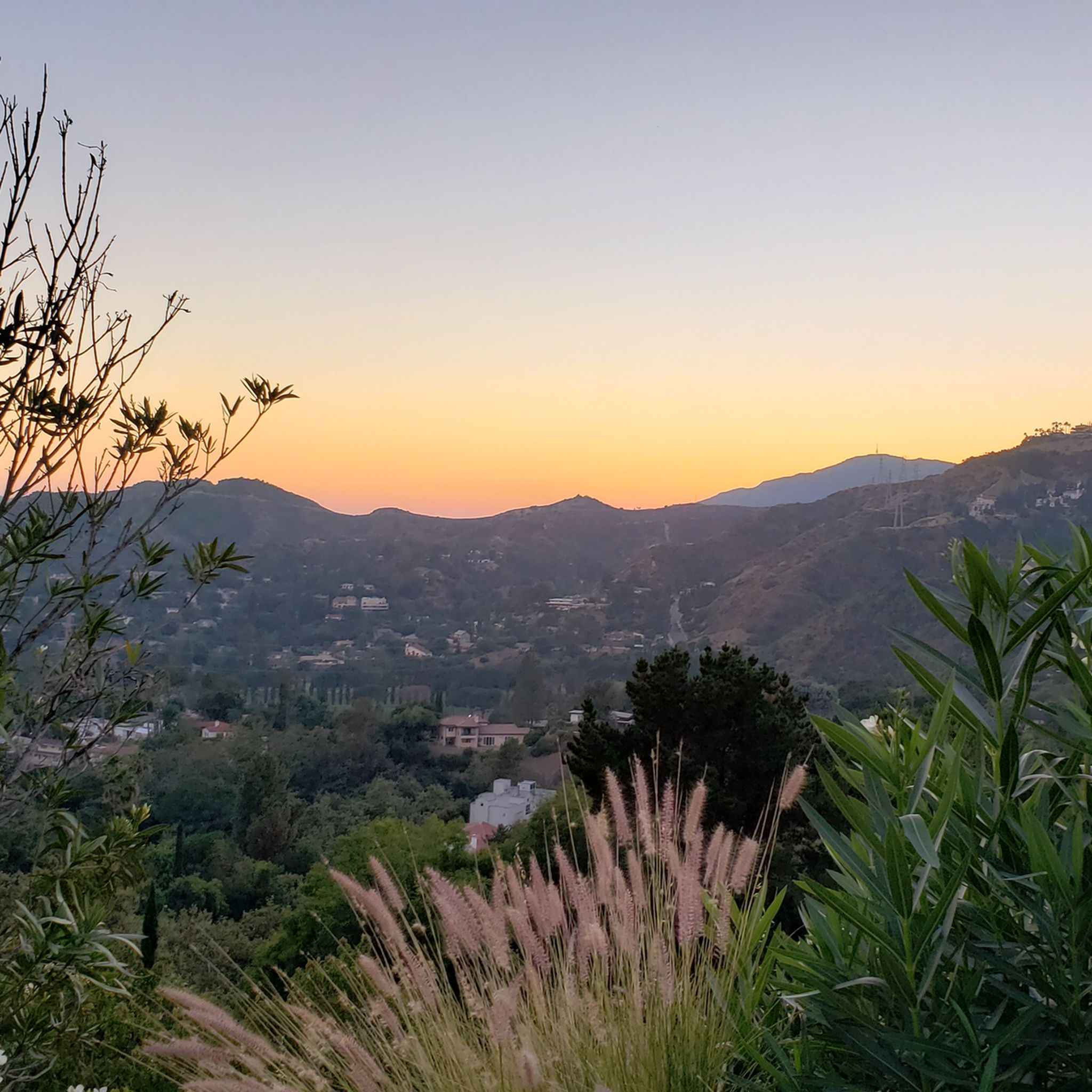
Just below the Mt Wilson Trailhead on Red Box Road, this overlook and memorial is a perfect place to pause. Sit and take in sweeping views of the San Gabriel Valley, and read the memorial plaque honoring early conservation efforts.
0
0
Henninger Flats sits along the road with views of Altadena. You’ll pass by it while climbing the Mt. Wilson Toll Road and can take a moment to catch your breath while enjoying the views. The route features a steady climb with minimal shade, so it’s best to start early, especially in summer. At the top, enjoy panoramic views of the San Gabriel Valley and explore the area, which includes a visitor center, picnic spots, and a tree nursery.
0
0
For a ride with history and views, check out the Ye Alpine Tavern ruins in the San Gabriel Mountains. Once a popular mountain resort, it burned down in 1936 and was later demolished, but you can still spot the stone fireplace, foundation, and water tank.
0
0

This tunnel was blasted into existence in 1942 to form the old Mount Lowe Motorway.
0
0

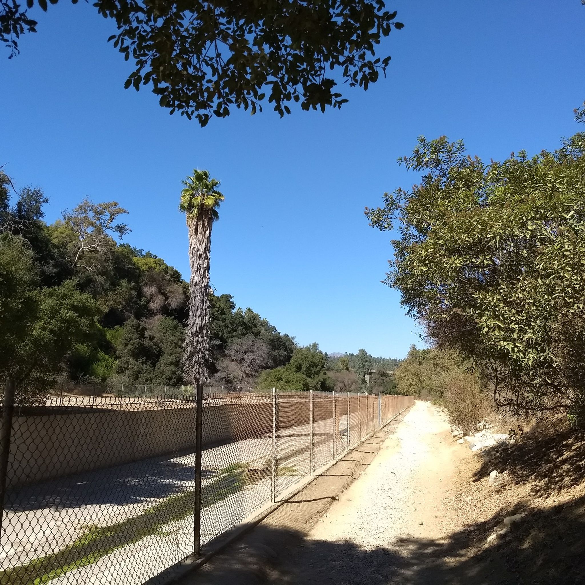
Climb out of the Brookside Golf Club area and into the Pasadena suburban area. This climb has a nice shoulder and is lined with trees.
0
0
Frequently Asked Questions
How many gravel bike trails are available around South Pasadena?
There are over 15 gravel bike trails around South Pasadena, with a total of 19 routes recorded on komoot. These routes offer a diverse range of experiences, from urban pathways to challenging mountain trails in the San Gabriel Mountains.
Are there any easy gravel bike trails suitable for beginners or families?
While many routes in the San Gabriel Mountains are challenging, the Arroyo Seco Bike Trail – Verdugo Peak loop from South Pasadena includes segments of the Arroyo Seco Bike Trail, which offers mostly paved sections suitable for all fitness levels. The Arroyo Seco itself features both paved and unpaved segments, allowing for varied experiences. For a less strenuous ride, the Arroyo Seco Bike Trail is a good starting point, and Brookside Park also features several miles of bike trails through woodlands.
What kind of terrain can I expect on gravel bike trails near South Pasadena?
Gravel biking around South Pasadena offers a mix of terrain. You'll find dedicated bike paths, leafy urban streets, abandoned dirt roads, and challenging singletrack. The region is known for its mountain fire roads and dirt trails in the San Gabriel Mountains and Angeles National Forest, as well as the diverse paved and unpaved sections along the Arroyo Seco.
Are there any long-distance gravel routes for experienced riders?
Yes, for experienced riders seeking longer distances and significant elevation, routes like the Mueller Tunnel – Mueller Tunnel loop from Altadena cover 26.1 miles (42.0 km) with over 1600 meters of elevation gain. Another challenging option is the Pasadena Historic City Hall – View from Mount Lukens loop from Memorial Park, which spans over 52 km and features significant climbs into the mountains.
What are some scenic viewpoints or natural attractions along the gravel routes?
Many gravel routes offer panoramic views of the San Gabriel Mountains and the surrounding valleys. Along the Arroyo Seco, you can enjoy the natural setting of the Arroyo Seco Woodland and Wildlife Park. For a notable natural attraction, the Eaton Canyon Waterfall is accessible via trails from the Eaton Canyon Natural Area, which is on the northeast edge of Pasadena. The historic Colorado Street Bridge also offers great views.
Can I bring my dog on the gravel bike trails in South Pasadena?
The Arroyo Seco Woodland and Wildlife Park, adjacent to the Arroyo Seco channel, is a natural setting where you might find dog-friendly sections. However, specific regulations for dogs on bike trails, especially within the Angeles National Forest, can vary. It's always best to check local signage or park regulations for the specific trail you plan to ride.
What is the best time of year for gravel biking in South Pasadena?
The region generally offers good cycling conditions for much of the year. However, the San Gabriel Mountains can experience significant weather changes, including heat in summer and cooler temperatures or even snow at higher elevations in winter. Spring and fall often provide the most pleasant temperatures for gravel biking, with comfortable conditions for exploring both the lower Arroyo Seco paths and the mountain fire roads.
Are there any permits required for gravel biking in the Angeles National Forest?
While general access to the Angeles National Forest for activities like biking is usually open, certain areas or specific activities might require permits. It's advisable to check the official Angeles National Forest website or contact a local ranger station for the most current information regarding permits, especially if you plan to venture into remote or protected sections.
Where can I find parking near gravel bike trails in South Pasadena?
Many trailheads and parks in and around South Pasadena offer parking. For routes starting near urban areas, public parking lots or street parking may be available. For example, routes originating from Glendale Community College or John Muir High School would likely have parking options nearby. When planning your route, check the starting point for available parking facilities.
What do other gravel bikers say about the trails in South Pasadena?
The gravel biking routes around South Pasadena are highly rated by the komoot community, with an average score of 5.0 stars from more than 2 reviews. Over 80 gravel bikers have used komoot to explore the varied terrain, often praising the challenging climbs, panoramic viewpoints, and the diverse landscape that transitions from urban paths to rugged mountain environments.
Are there any circular gravel bike routes in the area?
Yes, many of the popular gravel bike routes around South Pasadena are designed as loops. For instance, the Mount Thom Viewpoint – Verdugo Peak loop from Glendale Community College and the Ye Alpine Tavern ruins – Inspiration Point loop from John Muir High School are excellent examples of circular routes that allow you to start and end at the same point, offering a complete and scenic journey.
Can I access gravel bike trails using public transport in South Pasadena?
South Pasadena has public transport options that can connect you to areas near some trailheads. The Arroyo Seco Bike Trail, for example, is relatively accessible within the urban fabric. For routes deeper into the San Gabriel Mountains, public transport access might be more limited, requiring a short ride or walk from the nearest stop. Planning your route with public transport in mind is recommended.
Most popular routes around South Pasadena
Most popular attractions around South Pasadena

Get inspired with the komoot mobile app


Explore more
Browse the best Gravel rides in other regions.
