The best MTB trails around South Pasadena
4.7
(14)
524
riders
20
rides
If you’ve ever tried to plan mountain biking around South Pasadena, you know how quickly the options can feel overwhelming. With so many trails winding through the area, it’s tough to tell which routes are genuinely worth your time and effort, and which are just filler. We get it – you want the good stuff, not endless guesswork. That’s where komoot comes in. Our community has mapped, ridden, and reviewed these trails, and we’ve distilled it all into a curated…
Last updated: May 30, 2026
6
riders
23.6km
02:14
560m
560m
Hard mountain bike ride. Good fitness required. Advanced riding skills necessary. Some portions of the route may require you to push your bike.
4.8
(6)
86
riders
21.2km
01:49
480m
480m
Hard mountain bike ride. Good fitness required. Advanced riding skills necessary. Some portions of the route may require you to push your bike.

Sign up for free
30
riders
29.9km
03:06
1,140m
1,140m
Hard mountain bike ride. Very good fitness required. Suitable for all skill levels.
11
riders
55.7km
05:56
2,090m
2,090m
Hard mountain bike ride. Very good fitness required. Advanced riding skills necessary. Some portions of the route may require you to push your bike.
5.0
(1)
15
riders
36.7km
04:02
1,370m
1,370m
Hard mountain bike ride. Very good fitness required. Suitable for all skill levels.
Get access to more routes and recommendations from other explorers.
Sign up for free
Already have an account?
Our route recommendations are based on thousands of hikes, rides, and runs completed by other people on komoot.
Start today with a free account
Your next adventure awaits.
Login or Signup

Tips from the Community

Short tunnel on the eastern slope below San Gabriel Peak, part of the old Mt Lowe Motorway, that was never paved. The tunnel is very short, so you don't have to worry about bringing light. The road continues to the trailhead half a mile uphill.
0
0

A solid entry to the Verdugo Mountains with rewarding climbs and views, but watch the start—there are ruts and leftover metal pieces on the trail. Stay alert and pick your line carefully to avoid punctures or spills before the smoother sections begin.
1
0
Henninger Flats sits along the road with views of Altadena. You’ll pass by it while climbing the Mt. Wilson Toll Road and can take a moment to catch your breath while enjoying the views. The route features a steady climb with minimal shade, so it’s best to start early, especially in summer. At the top, enjoy panoramic views of the San Gabriel Valley and explore the area, which includes a visitor center, picnic spots, and a tree nursery.
0
0
For a ride with history and views, check out the Ye Alpine Tavern ruins in the San Gabriel Mountains. Once a popular mountain resort, it burned down in 1936 and was later demolished, but you can still spot the stone fireplace, foundation, and water tank.
0
0
Andrea Wilson Triangle is a small protected area along Chaney Trail in Altadena. Though not a developed trail, it’s part of a larger effort to preserve open space and wildlife habitat in the foothills near Angeles National Forest.
0
0

The road south creates a nice, fast, gradual descent from the north side of Altadena. Just be safe and keep an eye out for cross-traffic at the intersections.
0
0

The Gabrielino Trail spans 28.8 miles in the heart of Angeles National Forest, featuring a mix of well-known and secluded areas. This scenic route is perfect for running and boasts historical importance as well. In 1970, it became the first National Recreation Trail (NRT) in the country, honored for its regional representation, support of a diverse community, and recognition as one of America's finest trails.
0
0

Explore the looped road around the summit of Mount Wilson, a prominent peak known for its historic Mount Wilson Observatory. The summit houses telescopes, solar towers, and the modern CHARA Array for stellar research. Standing at 5,710 feet, Mount Wilson offers sweeping views of the Los Angeles Basin, the Pacific Ocean, and the Channel Islands on clear days. This site also serves as a major broadcast hub for the Greater Los Angeles area, easy to see with the numerous antennas and relay facilities sticking out all over the summit.
1
0
Frequently Asked Questions
How many mountain bike trails are available around South Pasadena?
There are over 20 mountain bike trails around South Pasadena, offering a diverse range of experiences. Most of these routes are rated as difficult, providing a challenge for experienced riders, but there are also a few easy and moderate options available.
Are there any easy mountain bike trails suitable for beginners or families?
While many trails around South Pasadena are challenging, there are a couple of easier options. The El Prieto Trail loop from Altadena, though rated difficult overall, has sections that are more accessible. For a truly gentle ride, the Arroyo Seco Bike Path offers a paved, flat experience, perfect for families or those looking for a relaxed outing.
What kind of terrain can I expect on mountain bike trails in South Pasadena?
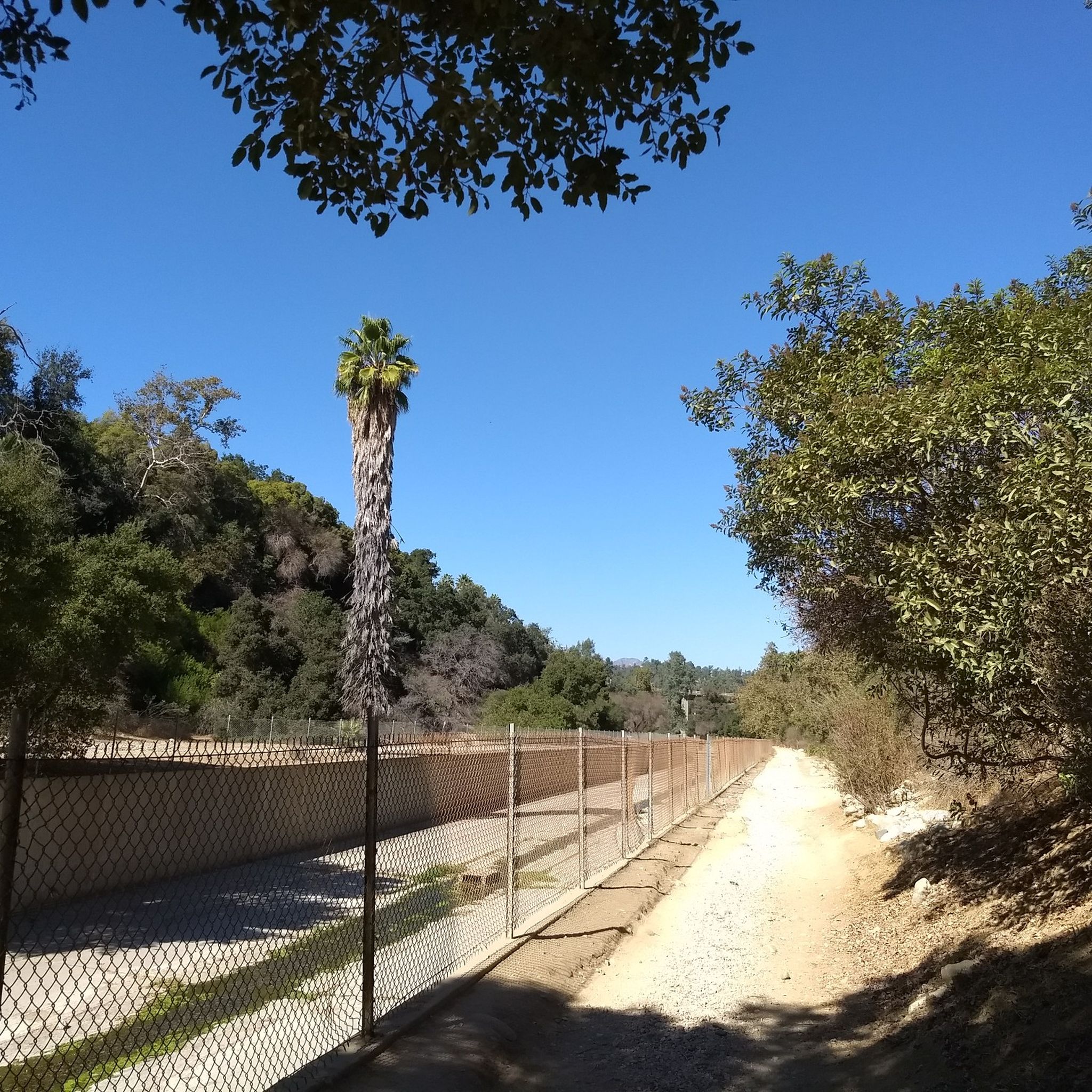
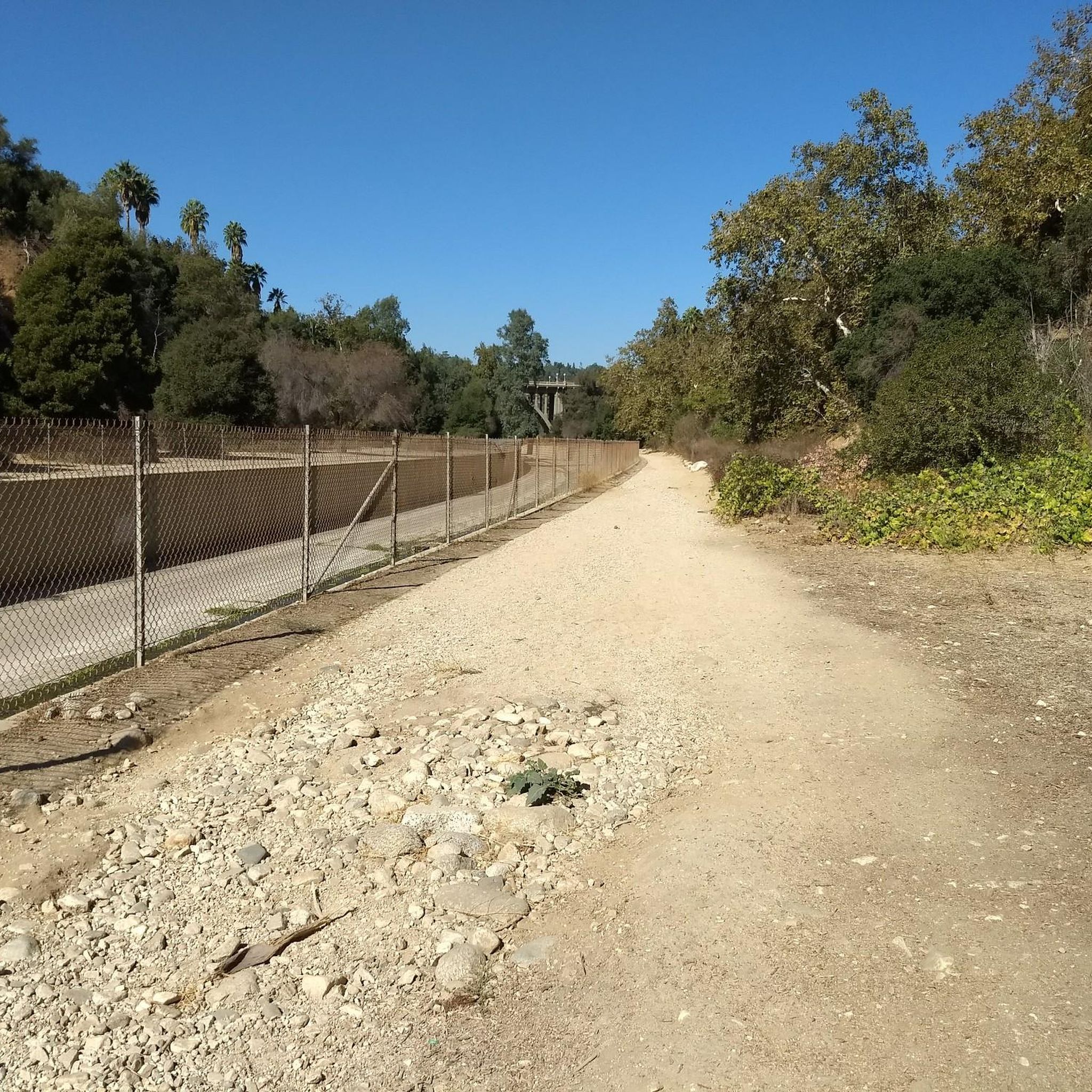
Mountain biking around South Pasadena offers diverse terrain. You'll find trails winding through lush landscapes and steep canyon walls, particularly in the Arroyo Seco corridor. The region also features dirt and fire roads, especially in areas like Mt. Wilson, with routes offering significant elevation gains and requiring advanced riding skills. The abundant tree canopy, featuring native California species, adds to the scenic charm.
Are there any loop trails for mountain biking in the area?
Yes, many of the mountain bike routes around South Pasadena are designed as loops. For example, the challenging Wella's Peak – Pasadena Historic City Hall loop from Memorial Park covers nearly 36 km, while the Ye Alpine Tavern ruins – Inspiration Point loop from Altadena is another popular option, extending almost 30 km through the San Gabriel Mountains.
What are some notable landmarks or viewpoints I can see while mountain biking?
The trails often provide inspiring views of the rugged San Gabriel Mountains. You might encounter historical points like the old Mt. Lowe Railway path. For specific attractions, consider routes that pass near the Historic Colorado Street Bridge or the Eaton Canyon Waterfall. The Arroyo Seco itself is a significant natural feature, offering scenic beauty.
Is mountain biking in South Pasadena dog-friendly?
Many trails in the South Pasadena area, especially those within the Arroyo Seco corridor and surrounding natural parks, are generally dog-friendly. However, it's always best to check specific trail regulations before heading out, as leash laws and access rules can vary. Ensure your dog is well-behaved and can handle the terrain.
What is the best time of year for mountain biking in South Pasadena?
South Pasadena generally enjoys a mild climate, making mountain biking enjoyable for much of the year. Spring and fall offer pleasant temperatures, ideal for longer rides. Summers can be hot, so early morning or late afternoon rides are recommended. Winters are typically mild, though occasional rain can make trails muddy, so checking conditions before you go is advisable.
Are there any challenging routes for advanced mountain bikers?
Absolutely. South Pasadena is well-known for its challenging mountain bike routes. The Mount Wilson Summit Viewpoint – Mount Lowe Summit loop from Altadena is a particularly demanding route, covering over 55 km with significant elevation gain. Other difficult options include the Wella's Peak – El Prieto Trail loop from Altadena, which offers challenging climbs and panoramic views.
What do other mountain bikers say about the trails in South Pasadena?
The mountain bike trails around South Pasadena are highly rated by the komoot community, with an average score of 4.8 stars from over 27 reviews. Riders often praise the diverse terrain, the challenging climbs, and the beautiful natural scenery, especially within the Arroyo Seco and San Gabriel Mountains foothills.
Are there any nearby lakes or reservoirs accessible by mountain bike?
While directly on mountain bike trails, you might not encounter large lakes, the region does have several. The Silver Lake Reservoir and Debs Lake are notable bodies of water in the broader area, offering scenic spots that could be incorporated into a longer ride or visited as a separate excursion.
Where can I find parking for mountain biking trails in South Pasadena?
Parking availability varies by trailhead. Many popular access points, especially those near Altadena or within the Arroyo Seco parks, offer designated parking areas. It's advisable to research specific trailheads in advance to confirm parking options and any potential fees or restrictions.
Are there any trails that offer views of the Los Angeles skyline?
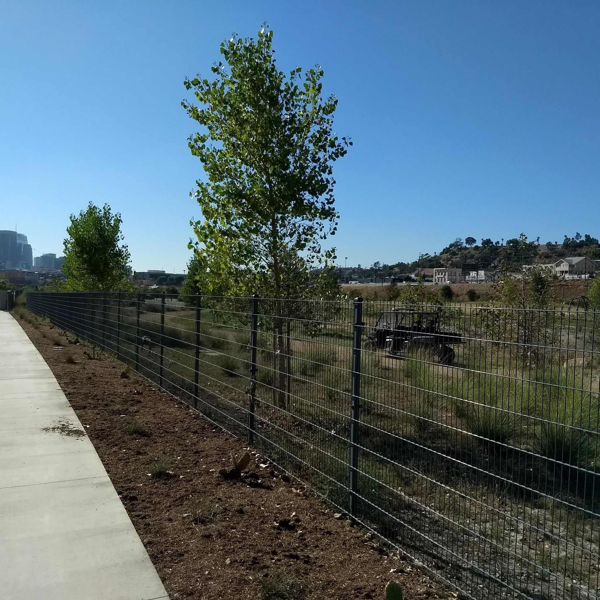
Yes, the Arroyo Seco Bike Path, a 2.1-mile concrete path running between South Pasadena and northeast Los Angeles, offers views of the Los Angeles skyline. While it's a paved path rather than a rugged mountain bike trail, it provides a unique perspective of the city amidst the natural surroundings.
Most popular routes around South Pasadena
Most popular attractions around South Pasadena

Get inspired with the komoot mobile app


Explore more
Browse the best MTB trails in other regions.
