The best gravel rides around Costa Mesa
4.8
(6)
51
riders
12
rides
Gravel biking around Costa Mesa offers a diverse landscape, blending coastal proximity, urban green spaces, and access to rugged inland trails. The region features significant parks like Fairview Park and Talbert Regional Park, which provide extensive trail networks. Riders can expect a mix of dirt roads, fire roads, and some paved surfaces, with routes extending towards the Pacific coastline and into the Santa Ana Mountains. This varied terrain provides options for different skill levels, from scenic paths to challenging climbs.
Best gravel bike trails around Costa Mesa
- The most popular gravel bike trail is Serrano Ridge Trail – Shady Canyon Trail loop from University of California, Irvine, a 17.4 miles (28.0 km) trail that takes 2 hours 48 minutes to complete. This difficult route features significant elevation gain through varied terrain.
- Another top favourite among local gravel bikers is Crystal Cove Park Trailhead – Coastal view loop from Corona Highlands, a difficult 15.4 miles (24.8 km) path. This route offers coastal views and challenging sections near Crystal Cove State Park.
- Local gravel bikers also love the San Diego Creek – San Diego Creek Trail loop from Tustin, a 26.1 miles (42.1 km) trail leading through urban green spaces and along the San Diego Creek, often completed in about 3 hours 33 minutes.
- Gravel biking around Costa Mesa is defined by coastal paths, urban green spaces, and rugged inland trails. The network offers options for different ability levels, from moderate loops to difficult climbs.
- The routes in Costa Mesa are highly rated by the komoot community with an average score of 4.75 stars from over 4 reviews. More than 50 gravel bikers have used komoot to explore Costa Mesa's varied terrain.
Last updated: October 14, 2026
5.0
(1)
15
riders
Hard gravel ride. Very good fitness required. Mostly paved surfaces. Suitable for all skill levels.
5.0
(1)
6
riders
24.8km
01:53
460m
460m
Hard gravel ride. Very good fitness required. Mostly paved surfaces. Suitable for all skill levels.

4.0
(1)
4
riders
Hard gravel ride. Very good fitness required. Mostly paved surfaces. Suitable for all skill levels.
5.0
(1)
7
riders
30.6km
02:11
530m
530m
Hard gravel ride. Very good fitness required. Mostly paved surfaces. Suitable for all skill levels.
5.0
(2)
9
riders
53.1km
03:24
620m
620m
Hard gravel ride. Very good fitness required. Mostly paved surfaces. Suitable for all skill levels.
Get access to more routes and recommendations from other explorers.
Already have an account?
Our route recommendations are based on thousands of hikes, rides, and runs completed by other people on komoot.
Start today with a free account
Your next adventure awaits.
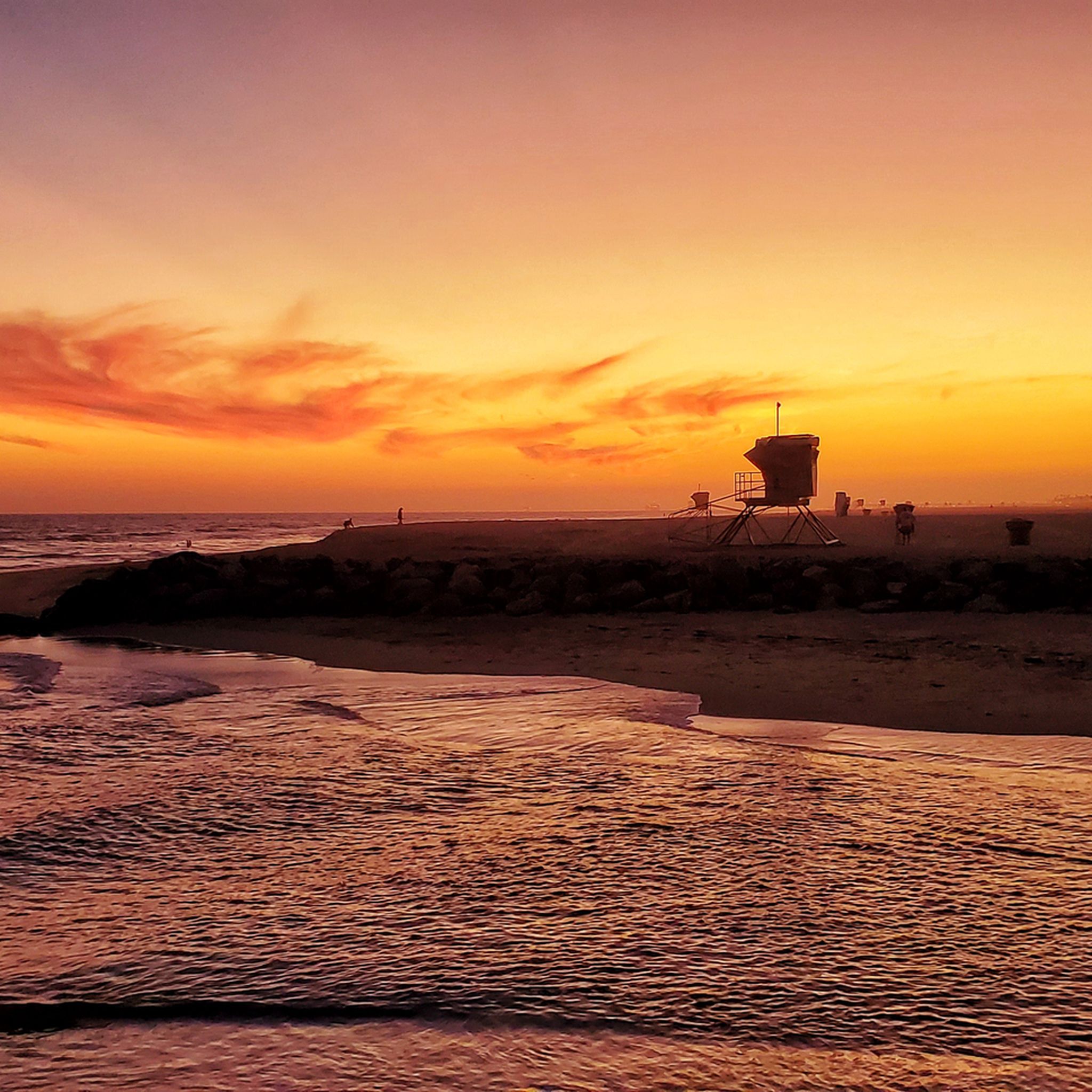
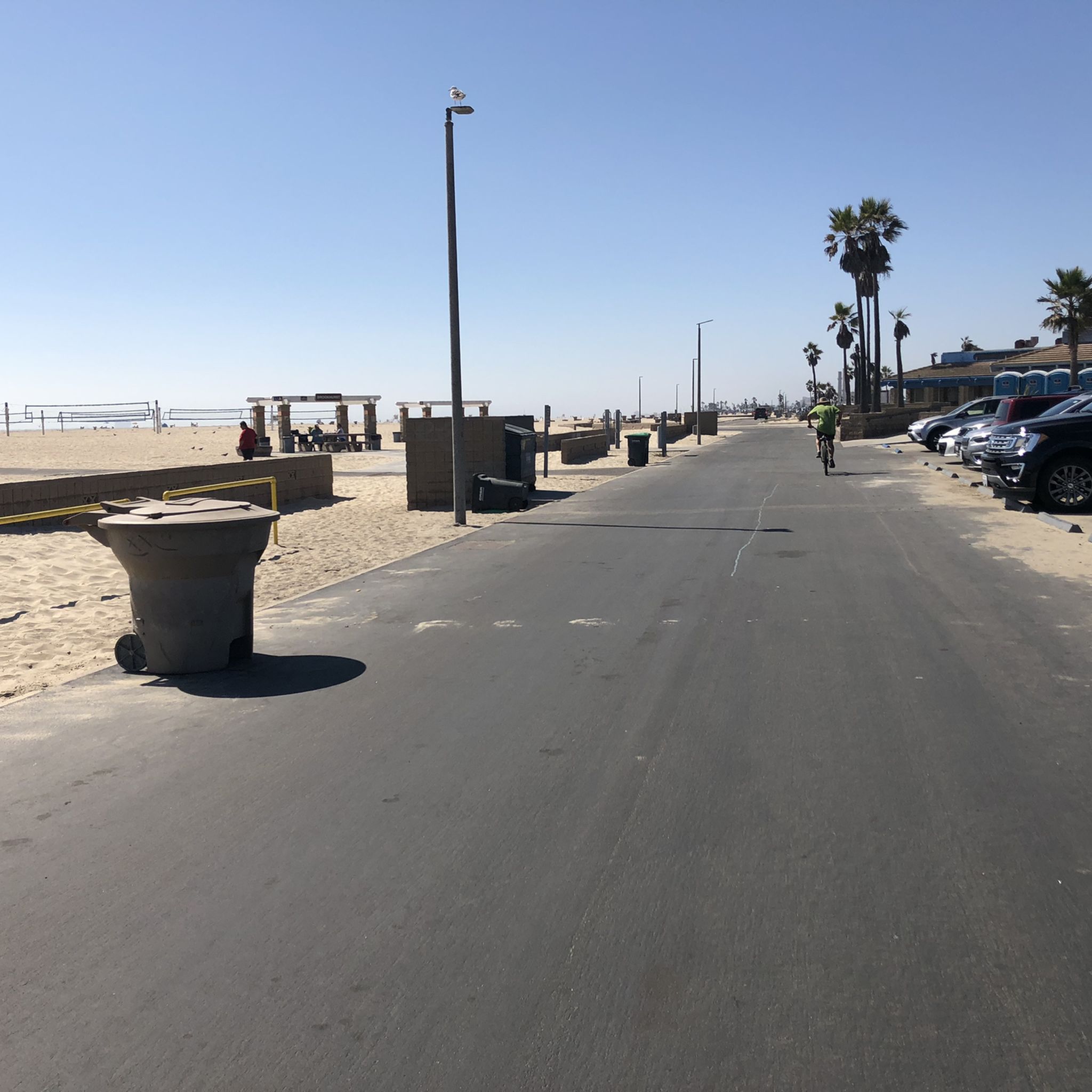
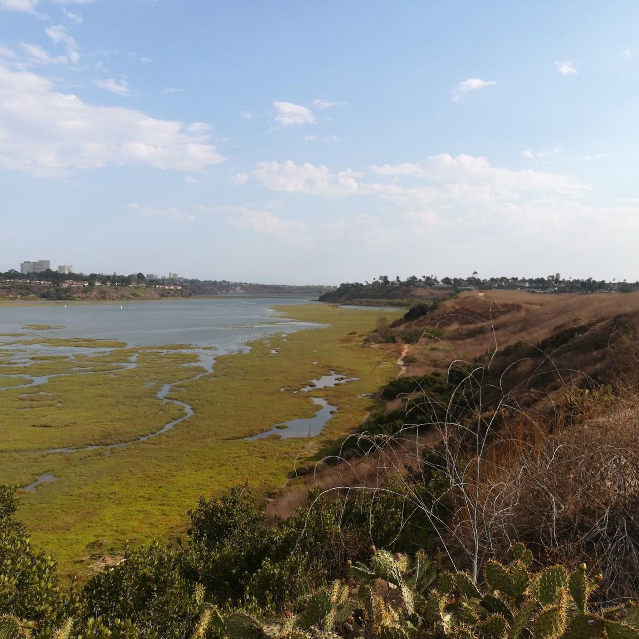
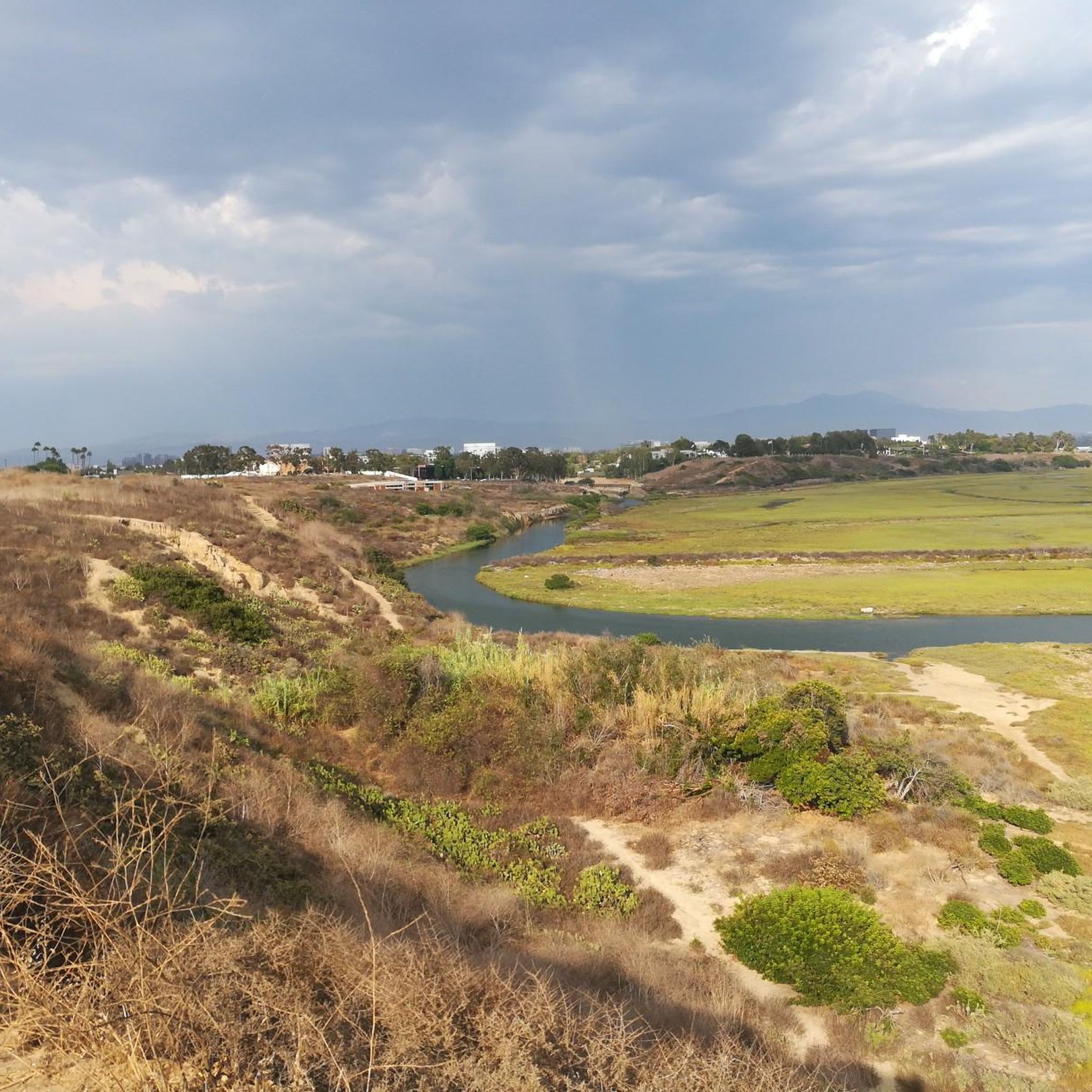
Tips from the Community

This is a nice little loop around El Moro (now known as Crystal Cove). Some fun climbing, some fun downhill, some fun singletrack but mostly fire road. Nothing too techy.
0
0

The trail here is paved and designed specifically for foot traffic and bikes with two separate cycling lanes. You get great views across Newport Bay to the ecological reserve as you pass by a couple small parks and vista points.
0
0
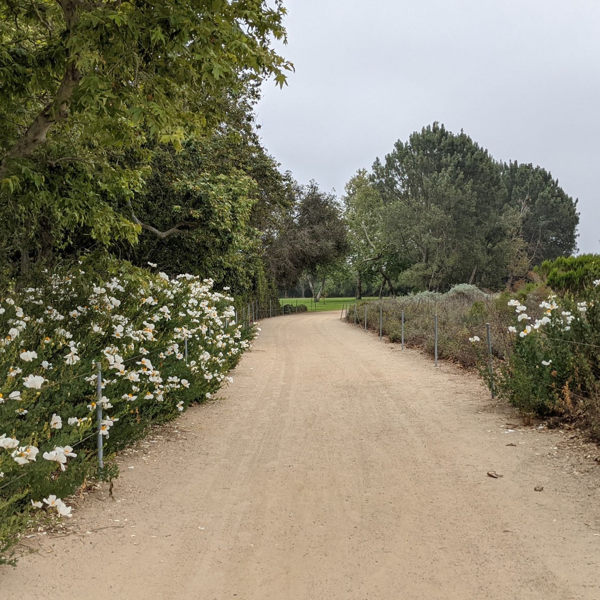
The trail is wide packed dirt and takes you through the meadows and rolling hills. This is the backbone of the Shady Canyon trail system and connects to a number of other trails and routes in the park.
0
0

From this spot, you get a nice view over the Upper Newport Bay Ecological Reserve. It is one of Southern California's largest remaining coastal wetlands. This estuary comprises diverse habitats, including salt marshes, mudflats, and riparian zones, providing critical environments for numerous plant and animal species. The reserve is also a vital stopover for migratory birds along the Pacific Flyway, with up to 35,000 birds present during winter migration. It supports nearly 200 bird species, including endangered ones like the Light-footed Clapper Rail and California Least Tern.
0
0
From this spot along Back Bay Drive, you get a nice view over the estuary. This is a great spot to keep an eye out for wildlife as you enjoy this low-traffic stretch of riding.
0
0
From this viewpoint on the Mountains to Sea Trail, adjacent to Eastbluff Drive, you get a nice view over San Diego Creek. This is a great spot to pause and take in the views and look for birds and other wildlife.
1
0

❗The northern segment of the Back Bay Loop Trail, specifically the Bay View Trail including the pedestrian bridge, is closed for repairs from December 9 to December 27, 2024. This closure is in effect daily, including weekends. A detour along Mesa Drive is available for trail users to reconnect with the trail.
0
0

The Back Bay Loop Trail offers a 10.5-mile scenic route around Upper Newport Bay. The well-signed trail passes through landmarks like Upper Castaways Park, Peter and Mary Muth Interpretive Center, and the Back Bay Science Center at Shellmaker Island. It also connects with the 22-mile Mountains to Sea Trail, stretching from Newport Bay to Weir Canyon. The trail has multiple entry points and provides opportunities to explore local nature and educational sites. Back Bay Drive, shared by vehicles, cyclists, and pedestrians.
0
0
Frequently Asked Questions
What kind of terrain can I expect on gravel bike trails around Costa Mesa?
Gravel biking around Costa Mesa offers a diverse mix of terrain. You'll encounter dirt roads, fire roads, and some paved sections. Routes range from scenic paths along the Santa Ana River to challenging, mountainous fire roads in the Santa Ana Mountains, providing options for various skill levels.
Are there challenging gravel bike routes for experienced riders near Costa Mesa?
Yes, the region offers several challenging routes. For instance, the Serrano Ridge Trail – Shady Canyon Trail loop from University of California, Irvine is a difficult 17.4-mile trail with significant elevation gain. Another demanding option is the Crystal Cove Park Trailhead – Coastal view loop from Corona Highlands, which features challenging sections and coastal views.
What natural features or landmarks can I see along the gravel bike trails?
Many routes offer stunning natural scenery. You can explore urban parks and nature preserves like Fairview Park and Talbert Regional Park, which feature diverse native plants and wildlife. The Upper Newport Bay Ecological Reserve and San Joaquin Marsh Wildlife Sanctuary are also accessible, offering opportunities for birdwatching and enjoying serene waters. Coastal routes provide views of the Pacific Ocean and nearby beaches like Newport Beach.
When is the best time of year to go gravel biking in Costa Mesa?
Costa Mesa's mild, semi-arid climate ensures year-round opportunities for outdoor pursuits. However, the region research suggests that challenging routes like the Harding Truck Trail are best experienced in spring or fall for optimal conditions.
Are there any family-friendly gravel bike routes in the area?
While many routes offer varied terrain, the region research mentions the Fullerton Loop Trail – Brea Dam loop as a moderate gravel ride with mostly paved surfaces, suitable for all skill levels. For specific family-friendly options, look for routes with less elevation gain and smoother surfaces within parks like Fairview Park or along the Santa Ana River.
How long are the typical gravel bike routes around Costa Mesa?
The routes vary significantly in length. For example, the Serrano Ridge Trail – Shady Canyon Trail loop is about 17.4 miles (28.0 km), while the San Diego Creek – San Diego Creek Trail loop extends to 26.1 miles (42.1 km). There are 19 routes in total, offering a range of distances to suit different preferences.
What do other gravel bikers enjoy most about gravel biking in Costa Mesa?
The area is highly rated by the komoot community, with an average score of 4.75 stars from over 4 reviews. Reviewers often praise the diverse landscape, which blends coastal proximity, urban green spaces, and access to rugged inland trails, offering a variety of experiences for all skill levels.
Are there any easy gravel bike trails suitable for beginners?
Yes, there are moderate routes that are more accessible for beginners. The region offers paths along the Santa Ana River and within urban green spaces that are less challenging. For example, the Fullerton Loop Trail – Brea Dam loop is noted as a moderate ride with mostly paved surfaces, suitable for all skill levels.
Where can I find parking or access points for gravel bike trails in Costa Mesa?
Many trails are accessible from significant parks. Fairview Park and Talbert Regional Park serve as trailheads and likely offer parking. The Serrano Ridge Trail – Shady Canyon Trail loop starts from the University of California, Irvine, which would have access points. For specific routes, checking the individual tour details on komoot will provide precise starting locations.
Can I find circular gravel bike routes in Orange County near Costa Mesa?
Yes, many of the popular gravel biking routes in the area are loops. Examples include the Serrano Ridge Trail – Shady Canyon Trail loop, the Crystal Cove Park Trailhead – Coastal view loop, and the San Diego Creek – San Diego Creek Trail loop, all of which are designed as circular routes.
Are there any viewpoints or scenic spots along the gravel trails?
Absolutely. The Crystal Cove Park Trailhead – Coastal view loop offers stunning coastal vistas. Additionally, the Santa Ana Mountains provide a scenic backdrop, and trails within Fairview Park offer open fields and scenic views. You can also find specific viewpoints like Pelican Point Viewpoint and Pelican Point West - Observation platform near Upper Newport Bay.
How many gravel bike trails are available around Costa Mesa?
There are 19 gravel bike trails available around Costa Mesa, offering a wide range of experiences from moderate to difficult, catering to different skill levels and preferences.
Most popular routes around Costa Mesa
Most popular attractions around Costa Mesa

Get inspired with the komoot mobile app


Explore more
Browse the best Gravel rides in other regions.
