The best gravel rides in Franklin County
4.7
(10)
310
riders
15
rides
Gravel biking in Franklin County, Missouri, offers diverse terrain characterized by extensive trails, serene riverside settings, and varied ecosystems. The region features a mix of gravel and paved roads, leading through natural areas, past conservation sites, and along river systems like the Missouri River. Riders can expect routes that traverse woodlands, open fields, and areas with rolling hills, providing a balanced experience for different skill levels.
Best gravel bike trails in Franklin County
- The most popular gravel bike trail is…
Last updated: June 28, 2026
3.0
(1)
14
riders
Moderate gravel ride. Good fitness required. Mostly paved surfaces. Suitable for all skill levels.
16
riders
Easy gravel ride. Great for any fitness level. Mostly paved surfaces. Suitable for all skill levels.

Sign up for free
9
riders
Moderate gravel ride. Good fitness required. Mostly paved surfaces. Suitable for all skill levels.
5.0
(1)
24
riders
Moderate gravel ride. Good fitness required. Mostly paved surfaces. Suitable for all skill levels.
7
riders
80.8km
04:06
160m
160m
Moderate gravel ride. Good fitness required. Mostly paved surfaces. Suitable for all skill levels.
5.0
(1)
10
riders
42.9km
02:33
300m
300m
Moderate gravel ride. Good fitness required. Mostly paved surfaces. Suitable for all skill levels.
38
riders
Moderate gravel ride. Good fitness required. Mostly paved surfaces. Suitable for all skill levels.
7
riders
73.9km
04:23
510m
510m
Hard gravel ride. Very good fitness required. Mostly paved surfaces. Suitable for all skill levels.
5
riders
40.7km
02:04
80m
80m
Moderate gravel ride. Good fitness required. Mostly paved surfaces. Suitable for all skill levels.
5
riders
44.0km
02:14
100m
100m
Moderate gravel ride. Good fitness required. Mostly paved surfaces. Suitable for all skill levels.
Get access to more routes and recommendations from other explorers.
Sign up for free
Already have an account?
Our route recommendations are based on thousands of hikes, rides, and runs completed by other people on komoot.
Start today with a free account
Your next adventure awaits.
Login or Signup

Tips from the Community

The lady that operates this campground works a regular job during the day. So it's okay to go ahead & set up your tent when you get here. She will stop by by early evening to check you in, collect camping fee & give you lock code for shower.
0
0

Known locally as “Devil’s Boot Cave,” this natural overhang carved in sandstone resembles the shape of a boot and stretches roughly 25 feet deep and wide, near Marthasville. Once used as a pioneer shelter and noted by local schools for nature trips, the site offers a little geological curiosity beside the trail—a hands-on reminder of Missouri’s limestone landscape and early frontier life. Great for a quick stop and photo op!
0
0
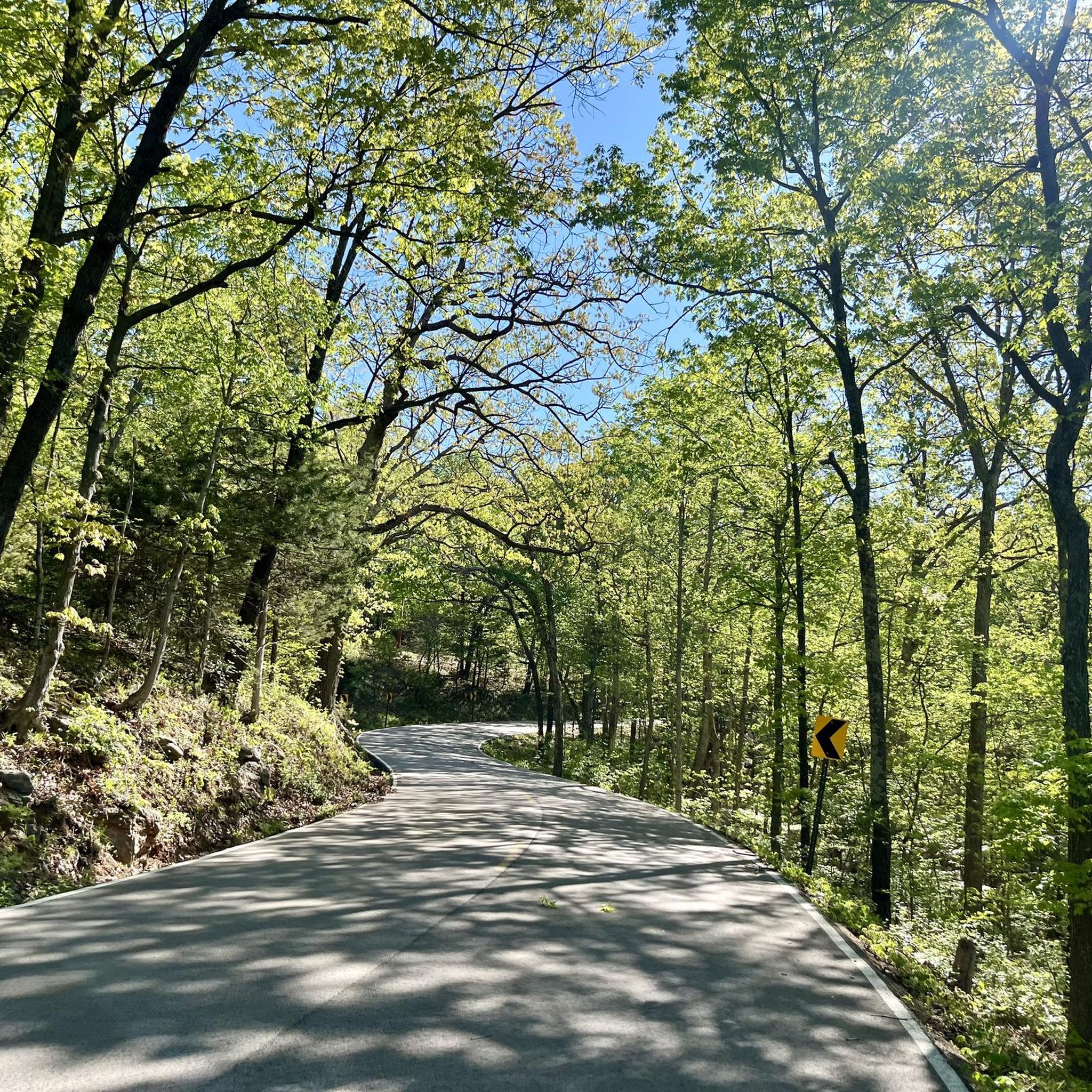
Shortly after turning onto Case Road, cyclists enter the 3,520-acre Daniel Boone Conservation Area — part of Missouri’s preserved forestland celebrated for wooded hills, glades, four fishable ponds, and trails that wind through rugged valleys and wildlife habitat, perfect for birding, nature photography, or stretching legs before the climb While the Katy Trail has been smooth and flat up to this point, once you turn onto Case Road and enter the conservation area, expect a steady climb that eventually reaches a challenging maximum grade of about 12% (you may want to walk your bike at this part) This ascent leads you up to the campground within the Conservation Area—so pace yourself, shift into a lower gear, and take short breaks if needed before reaching the ridge and the peaceful campsites above.
0
0
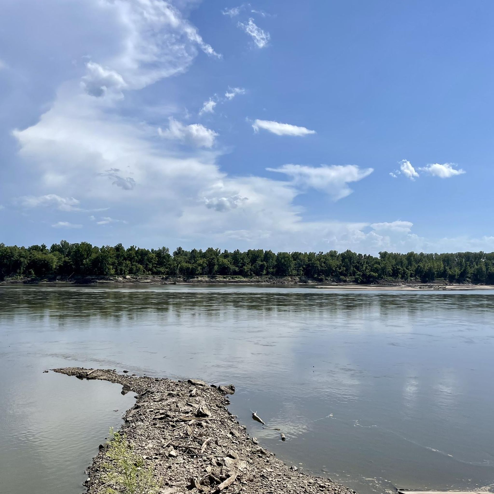
Located just off Missouri Highway 94, this shaded picnic table sits near the Missouri River, offering soothing glimpses and soft river sounds as you ride by. While MO‑94 is nearby, traffic is light and quiet, making this a pleasantly serene break spot. The nearby riverbank and surrounding woods add to the peaceful ambiance—an easy mid-ride breather before you continue into the dramatic bluffs ahead.
0
0
Named by German settlers after Germany’s Rhine River, Rhineland is a small village relocated uphill after the devastating 1993 Missouri flood. With roughly 140 residents today, it maintains quiet charm and historical character. Notable nearby is the Heinrich Gloe House, an 1850s log home now listed on the National Register. The small trailhead provides basic amenities. While there are no major resupply stops here, Rhineland offers a peaceful, culturally rooted pause between McKittrick and Hermann.
0
0
This small town offers a convenient trailhead with parking, restrooms, and a bike repair station. Just off the trail, Loutre Market serves hot deli food, snacks, drinks, and trail essentials—making it a great resupply stop. The restored McKittrick Farmers Mercantile building now offers loft-style lodging steps from the trail. With both charm and function, McKittrick is a worthwhile pause on your ride east.
0
0
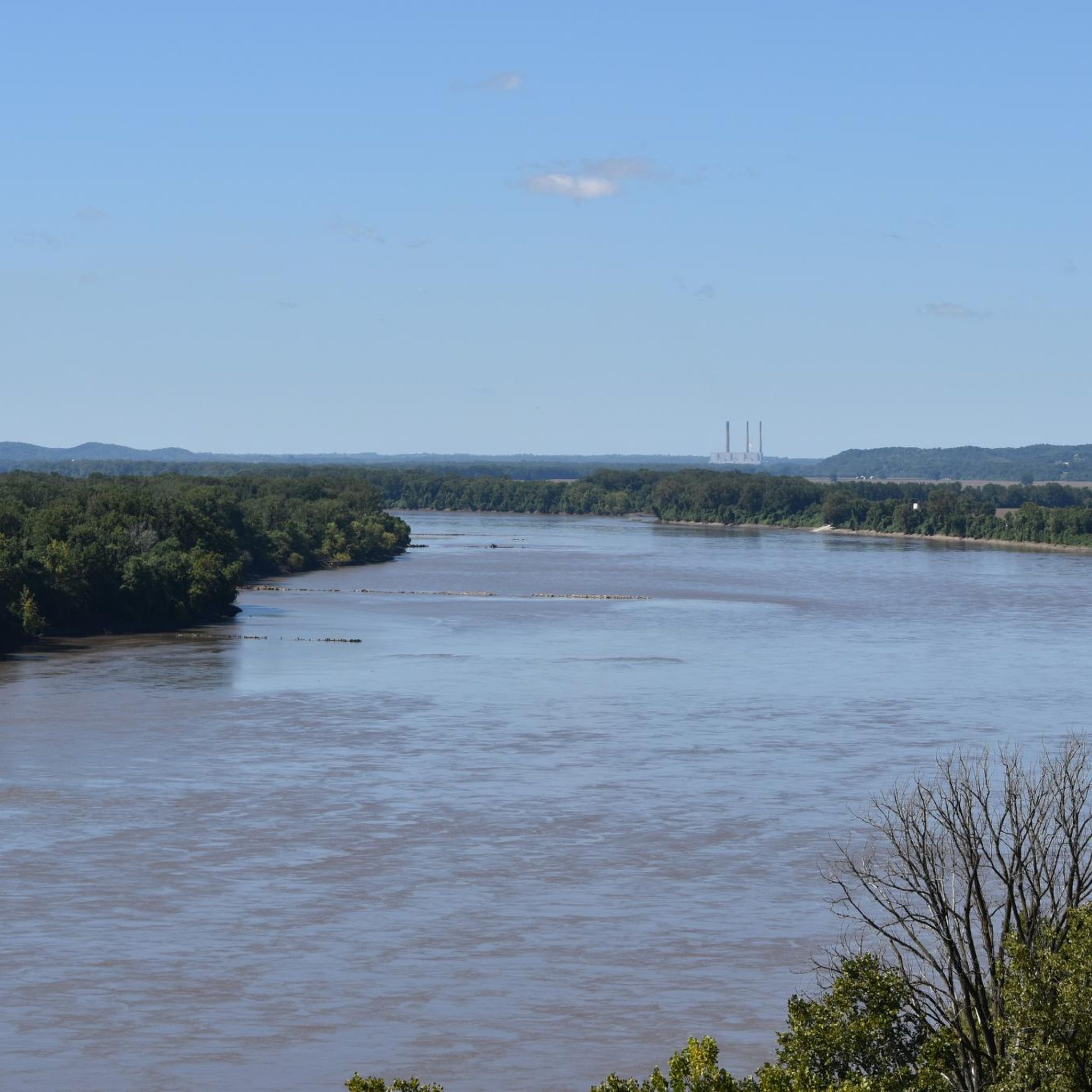
Between mile markers 93.2 and 89.0, the Katy Trail offers some of its most breathtaking views of the Missouri River. This section features sweeping vistas of the river, dramatic limestone bluffs, and serene floodplain landscapes. The Missouri River, often called the "Big Muddy" due to its high silt content, is the longest river in North America, stretching over 2,300 miles from Montana to its confluence with the Mississippi River near St. Louis.
0
0
Located just off the Katy Trail in Portland, Rivers Edge offers tent and RV camping with full hookups, clean showers, and restrooms. A nearby boat launch provides easy river access, and Holhauzer's Bar & Grill is adjacent for convenient dining.
0
0
Frequently Asked Questions
How many gravel bike trails are available in Franklin County, Missouri?
Franklin County, Missouri, offers a diverse selection of over 18 gravel bike trails. These routes vary in length and difficulty, providing options for different skill levels, from easy, flat sections to more challenging rides with elevation changes.
Are there gravel bike trails suitable for beginners or families in Franklin County?
Yes, Franklin County has several gravel bike trails suitable for beginners and families. There are at least 6 easy routes, often featuring flat sections and scenic natural areas. A good option for a more relaxed ride is the Historic Bridge – Katy Trail loop from Defiance, which is 14.7 miles long and leads through riverfront areas.
Can I bring my dog on the gravel bike trails in Franklin County?
Many natural areas and conservation sites in Franklin County are dog-friendly, but it's always best to check specific regulations for each trail or park. Generally, dogs should be kept on a leash, and you should be prepared to clean up after them. The varied terrain, including woodlands and open fields, can be enjoyable for both you and your canine companion.
What is the best time of year for gravel biking in Franklin County, Missouri?
The best times for gravel biking in Franklin County are typically spring and fall. During these seasons, the weather is mild, and the natural landscapes, especially the woodlands and riverfronts, are particularly scenic. Summers can be hot and humid, while winters can bring cold temperatures and potential snow, which might limit access to some trails.
Which gravel bike trails offer the most scenic views in Franklin County?
Many routes in Franklin County boast scenic views, particularly along the Missouri River and through its extensive natural areas. The Historic Bridge – Historic Bridge loop from Defiance explores beautiful areas with river views. Another route, the Weldon Spring Site – Hampton Lake loop from Howell Island Conservation Area, offers a mix of gravel and natural surfaces with varied landscapes.
Are there loop gravel bike routes available in Franklin County?
Yes, many of the gravel bike routes in Franklin County are designed as loops, allowing you to start and end at the same point. Examples include the Historic Bridge – Historic Bridge loop from Defiance and the Historic Bridge – Katy Trail loop from Defiance, both offering convenient circular journeys.
Is parking available at the trailheads for gravel biking in Franklin County?
Parking is generally available at designated trailheads, conservation areas, and state parks throughout Franklin County. For specific routes, it's advisable to check the starting point details on komoot, as many tours begin from established parking areas like those near Defiance or Howell Island Conservation Area.
What kind of terrain can I expect on the gravel bike trails in Franklin County?
Gravel biking in Franklin County, Missouri, offers diverse terrain. You can expect a mix of gravel and paved roads, leading through woodlands, open fields, and areas with rolling hills. Some routes follow serene riverside settings along the Missouri River, providing a balanced experience for various skill levels.
Are there any long-distance or challenging gravel bike routes for experienced riders?
Yes, for more experienced riders seeking a challenge, Franklin County offers longer and more difficult routes. The Bums Cave – McKittrick loop from Hermann Station is a difficult 80.8-mile route, while the Rhineland – Rest stop loop from Hermann Station covers 73.9 miles and also presents a difficult challenge.
What do other gravel bikers enjoy the most about gravel biking in Franklin County?
The gravel bike trails in Franklin County are highly rated by the komoot community, with an average score of 4.2 stars. Reviewers often praise the diverse terrain, the scenic riverfront paths, and the extensive natural areas that provide a balanced experience for different ability levels. The mix of woodlands and open fields is frequently highlighted as a key attraction.
Are there any specific conservation areas or natural attractions accessible by gravel bike in Franklin County?
Franklin County is rich in natural areas. The Weldon Spring Site – Hampton Lake loop from Howell Island Conservation Area takes you through the Weldon Spring Site and near Hampton Lake. Other notable areas in the region include Shaw Nature Reserve and Meramec State Park, which offer extensive trails and diverse ecosystems, though specific gravel bike access may vary.
How long do the gravel bike trails in Franklin County typically take to complete?
The duration of gravel bike trails in Franklin County varies significantly depending on the route's length and difficulty. Shorter, easier routes like the Historic Bridge – Katy Trail loop from Defiance can be completed in about 1 hour and 9 minutes, while longer, more challenging routes such as the Bums Cave – McKittrick loop from Hermann Station can take over 7 hours.
Most popular routes in Franklin County

Get inspired with the komoot mobile app


Explore more
Browse the best Gravel rides in other regions.
