The best gravel rides around Pailharès
4.7
(12)
124
riders
5
rides
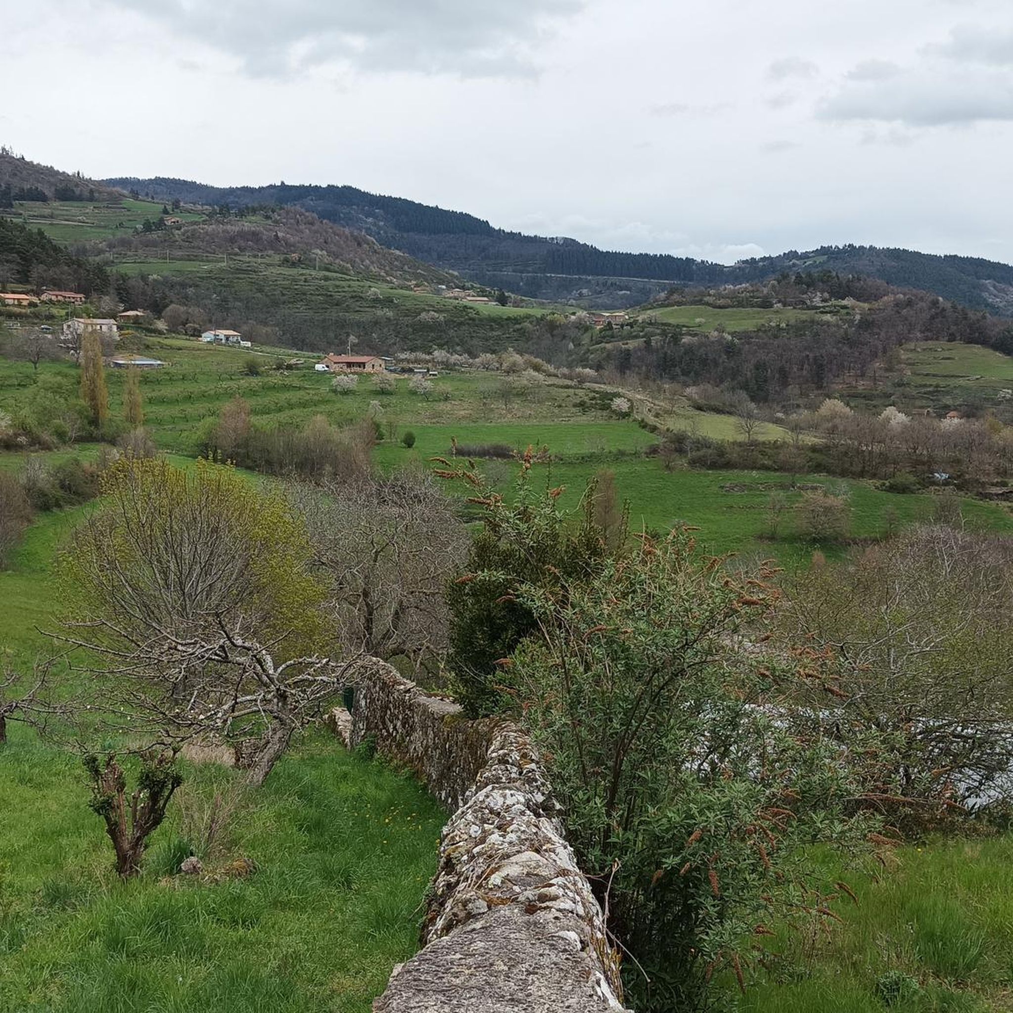
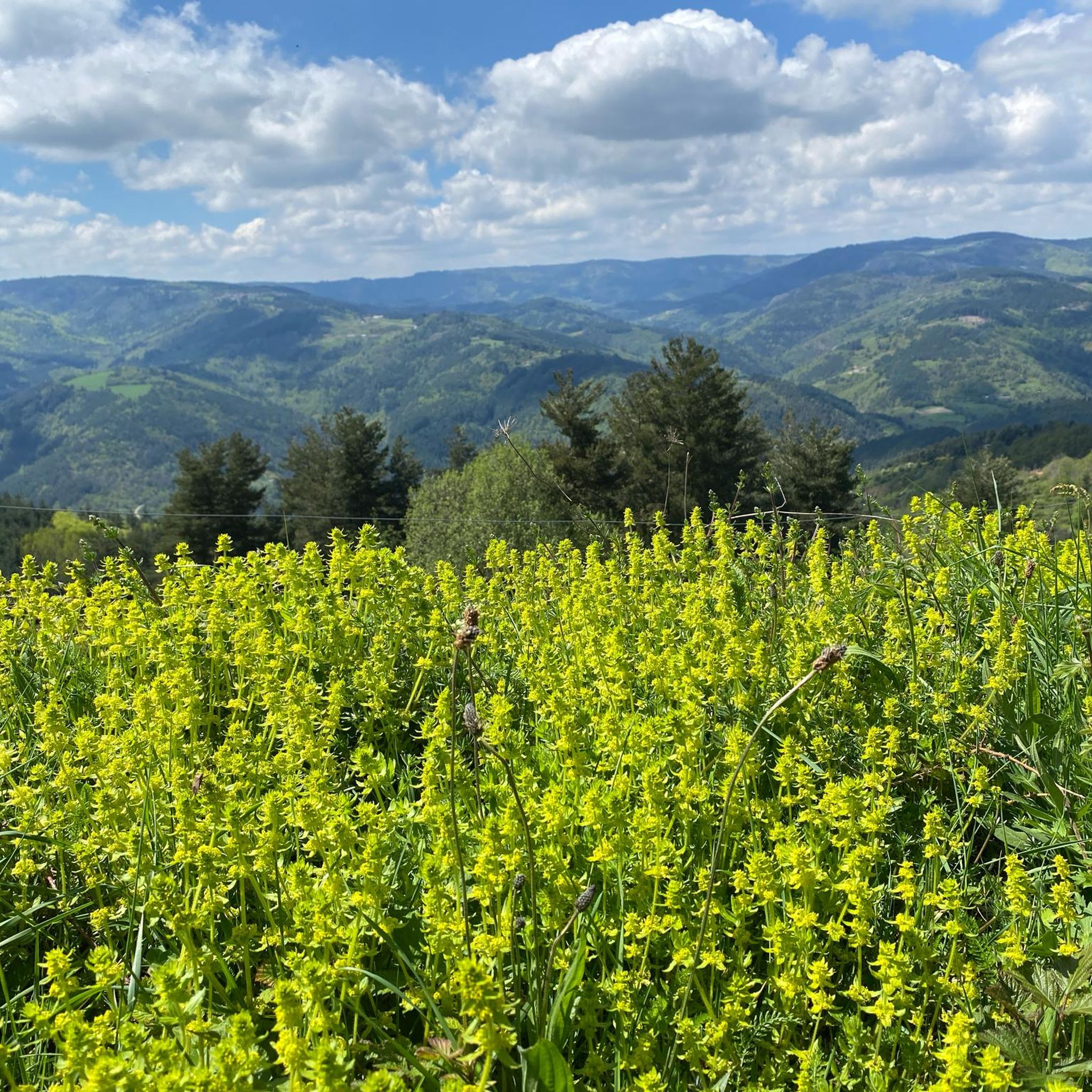
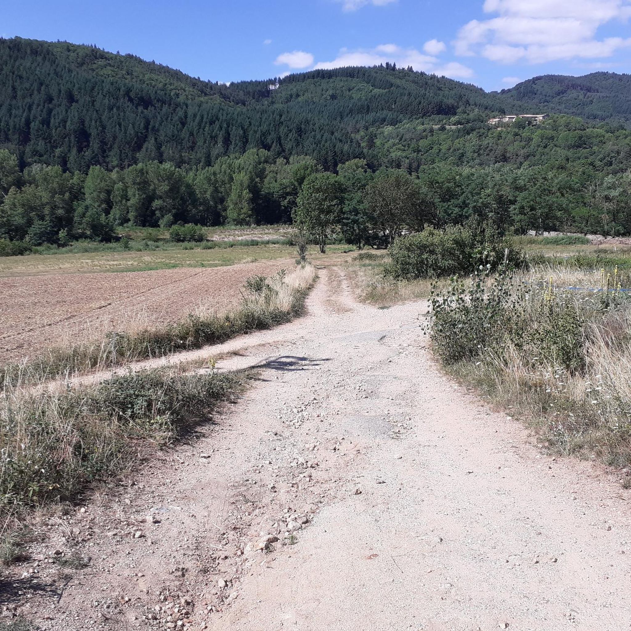
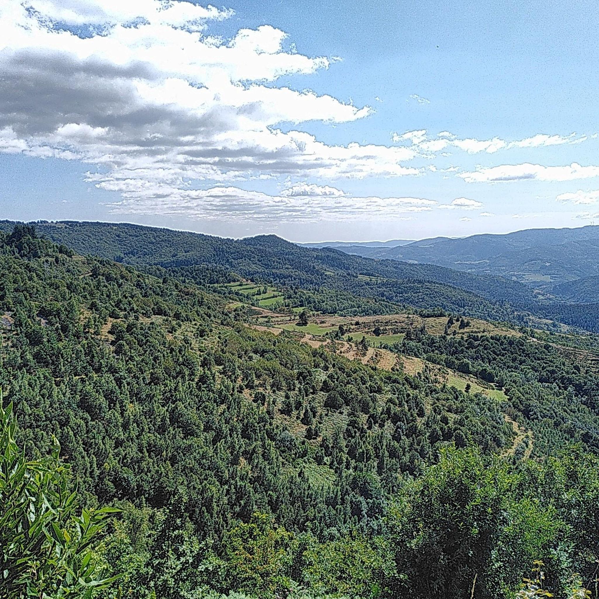
Gravel biking around Pailharès offers diverse landscapes within the Ardèche region, characterized by varied topography ranging from river valleys to elevated woodlands. The area features an elevation range from 260 meters along the Daronne River to 1,189 meters at La Frache wood, providing a mix of challenging ascents and descents. The terrain includes forests, pastures, and converted railway lines like the Dolce Via, which offer accessible routes through scenic countryside. This combination of natural features makes Pailharès a suitable destination…
Last updated: July 2, 2026
5.0
(10)
104
riders
66.4km
04:43
1,240m
1,240m
Hard gravel ride. Very good fitness required. Mostly paved surfaces. Suitable for all skill levels.
4.0
(1)
14
riders
19.9km
01:08
240m
240m
Moderate gravel ride. Good fitness required. Mostly paved surfaces. Suitable for all skill levels.

Sign up for free
3
riders
42.9km
03:20
1,150m
1,150m
Hard gravel ride. Very good fitness required. Mostly paved surfaces. Suitable for all skill levels.
2
riders
24.4km
02:03
630m
630m
Hard gravel ride. Very good fitness required. Mostly paved surfaces. Suitable for all skill levels.
5.0
(1)
1
riders
24.7km
01:52
680m
670m
Hard gravel ride. Very good fitness required. Mostly paved surfaces. Suitable for all skill levels.
Our route recommendations are based on thousands of hikes, rides, and runs completed by other people on komoot.
Start today with a free account
Your next adventure awaits.
Login or Signup
Tips from the Community

Board the Mastrou and discover our entire line, from the T. St Jean de Muzols station to Lamastre. The railway is the only way to admire the wild landscapes of the Doux Valley, a river it follows for 28 kilometers, crossing bridges, viaducts, and tunnels. From the Gorges du Doux to the Ardèche plateau, passing through orchards and chestnut groves, you won't miss a thing in the Ardèche verte! https://www.trainardeche.fr/
0
0


I didn't eat there, but the menu and atmosphere were good. Right on Dolce Via.
1
0

A large, refreshing tunnel
0
0
A must-see even if you don't take the train
0
0

In 10 days we will be back on this beautiful route :-)
0
0

The arrival of the Ardèche Train “Le Mastrou”
0
0

Old steam locomotives also run from this station
1
0
Frequently Asked Questions
What kind of terrain can I expect on gravel bike trails around Pailharès?
The Pailharès area, nestled in the Ardèche, offers a diverse landscape for gravel biking. You'll encounter varied topography ranging from river valleys to elevated woodlands, with an elevation range from 260 meters along the Daronne River to 1189 meters at La Frache wood. Expect a mix of challenging ascents and descents, passing through forests of chestnut and lavender, expansive vineyards, and converted railway lines like the Dolce Via, which provide accessible routes through scenic countryside.
Are there any easy gravel bike routes suitable for beginners or families near Pailharès?
While many routes in the Pailharès area are rated as difficult, there is a moderate option available. The Old Lamastre train station – Trail along the Sumène loop from Lamastre is a 20 km path that follows the Sumène river, offering varied terrain through the valley. Additionally, the region features converted railway lines like the Dolce Via, which are known for their gentle slopes and diverse surfaces, making them suitable for less experienced riders or families.
What are some notable natural features or viewpoints I can see while gravel biking in Pailharès?
Pailharès offers magnificent viewpoints overlooking the Daronne Valley. The broader Ardèche region is famous for its dramatic gorges and rivers, including the iconic Gorges de l'Ardèche. Routes often traverse limestone terrain, olive groves, and scrubland. You can also find several mountain passes offering panoramic views, such as Buisson Pass, Rouvey Pass, and Col du Fau (1021 m).
Are there any circular gravel bike routes around Pailharès?
Yes, many of the gravel bike routes around Pailharès are designed as loops. For example, the challenging Viewpoint on the Dolce Via – Viaduc de Chabranç loop from Lamastre is a 67.1 km trail that incorporates sections of the Dolce Via. Another option is the King's Bridge – Col de Boze (460 m) loop from Boucieu-le-Roi, a 23.2 km trail through the Ardèche countryside.
What do other gravel bikers enjoy most about Pailharès?
The gravel biking routes in Pailharès are highly rated by the komoot community, with an average score of 4.3 stars from more than 10 reviews. Reviewers often praise the diverse landscapes, the mix of challenging ascents and descents, and the scenic beauty of the river valleys and converted railway lines like the Dolce Via.
Can I access gravel bike trails near Pailharès using public transport?
The Ardèche region is known for innovative transport options for cyclists. The annual 'Ardèche Gravel' event, for instance, provides steam trains equipped with bike wagons to reach starting points. While specific public transport links directly to Pailharès for daily bike access might be limited, exploring options from larger towns like Lamastre, which serves as a starting point for several routes, could be beneficial. The region's focus on cycling infrastructure suggests efforts to make trails accessible.
Are there any historical sites or charming villages to explore along the gravel routes?
Yes, the region is rich in history and charming settlements. Pailharès itself is a picturesque hilltop village. Many cycling routes pass through similar charming villages, enhancing the cultural experience. You can also visit the Old Lamastre train station, which serves as a starting point for some routes and is a historical site itself. The greenways, built on former railway lines, also offer a glimpse into the region's past.
What is the best time of year for gravel biking in Pailharès?
The Ardèche region, including Pailharès, offers beautiful autumnal colors from its chestnut and lavender forests, and fragrant summer blooms. These seasons generally provide pleasant weather for cycling. Given the varied topography and potential for challenging ascents, spring and autumn might be ideal to avoid the peak summer heat, while still enjoying the natural beauty. Winter conditions could bring colder temperatures and potentially more challenging terrain.
Are there any long-distance or more advanced gravel biking options in the Pailharès area?
Yes, the Pailharès area offers several challenging routes for experienced gravel bikers. For example, the Viewpoint on the Dolce Via – Viaduc de Chabranç loop from Lamastre is a difficult 67.1 km trail with significant elevation gain. Other difficult routes include the Empurany Center loop from Empurany (24.4 km) and the Désaignes – View of the Monts d'Ardèche loop from Désaignes (24.6 km), both offering substantial climbs.
Are there any specific routes that incorporate sections of the famous Dolce Via?
Yes, the Viewpoint on the Dolce Via – Viaduc de Chabranç loop from Lamastre is a 67.1 km trail that explicitly incorporates sections of the Dolce Via. This greenway, built on a former railway line, is a significant draw for cyclists in the region, offering gentle slopes and diverse surfaces through stunning scenery. You can find more information about the Dolce Via on France Vélo Tourisme.
What is the elevation range for gravel biking around Pailharès?
The Pailharès area features a significant elevation range, from 260 meters along the Daronne River to 1189 meters at La Frache wood. This diverse topography ensures a wide array of scenic views and challenging ascents and descents, catering to gravel bikers looking for varied terrain.
Most popular attractions around Pailharès

Get inspired with the komoot mobile app


Explore more
Browse the best Gravel rides in other regions.
