The best cycling routes around Pailharès
4.6
(182)
3,279
riders
114
rides
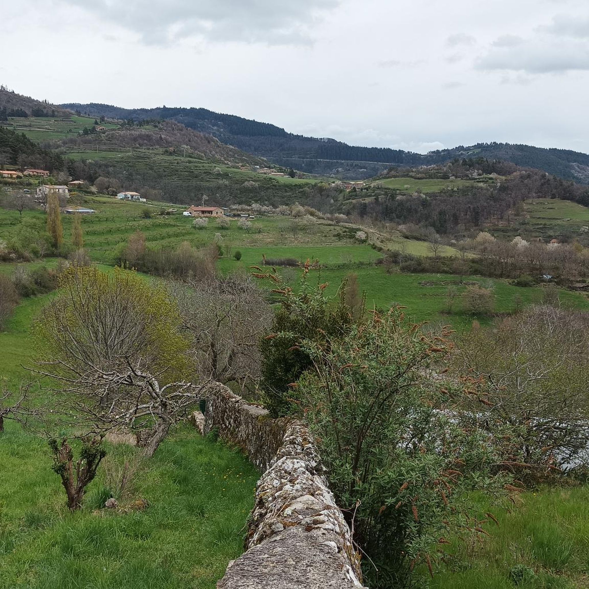
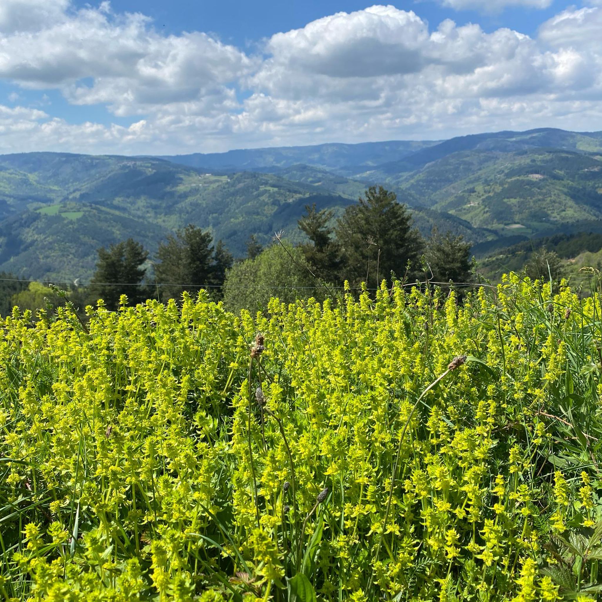
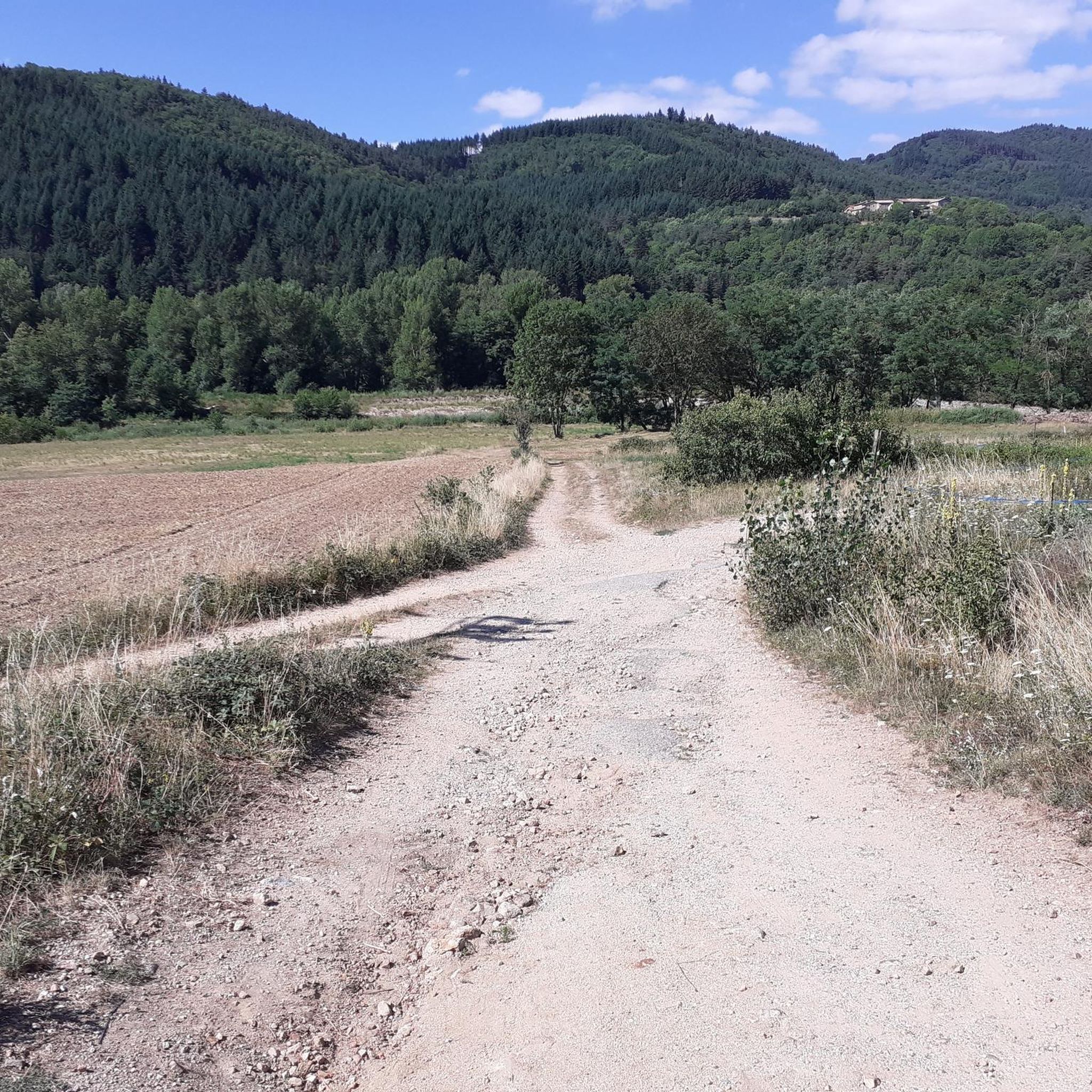
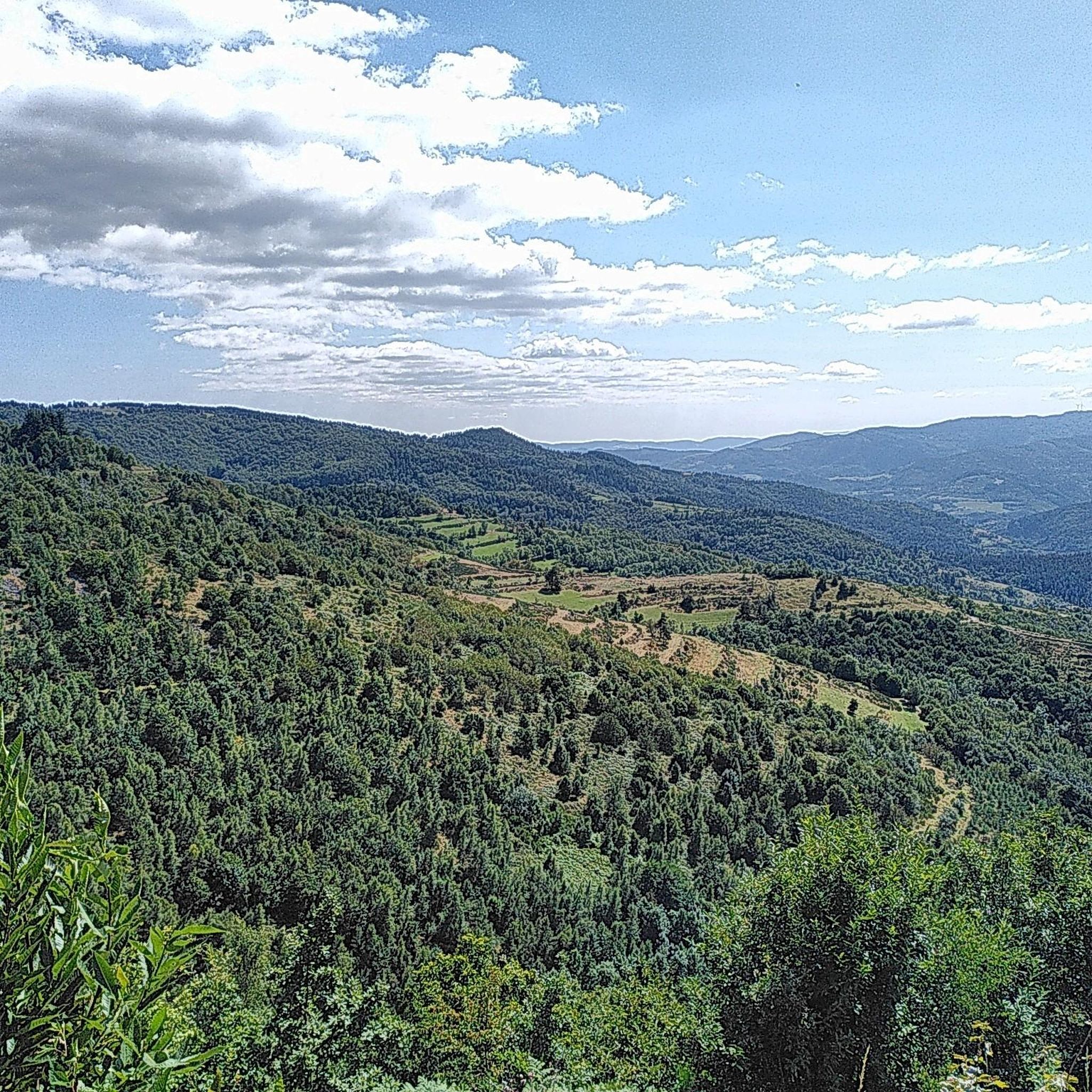
Touring cycling routes around Pailharès navigate a landscape characterized by significant elevation changes, featuring numerous mountain passes and forested slopes. The region's terrain includes challenging climbs and descents, typical of an area with "Col" (pass) names like Col Robert Marchand. These routes often traverse through varied natural environments, offering a diverse experience for touring cyclists.
Best touring cycling routes around Pailharès
- The most popular touring cycling route is Col Robert Marchand (911 m) – Buisson Pass loop from Vaudevant,…
Last updated: July 1, 2026
4.5
(2)
501
riders
115km
08:22
2,430m
2,430m
Hard bike ride. Very good fitness required. Mostly paved surfaces. Suitable for all skill levels.
4.7
(7)
297
riders
74.9km
05:22
1,560m
1,560m
Hard bike ride. Very good fitness required. Mostly paved surfaces. Suitable for all skill levels.

Sign up for free
4.0
(2)
72
riders
95.2km
06:38
1,770m
1,770m
Hard bike ride. Very good fitness required. Mostly paved surfaces. Suitable for all skill levels.
5.0
(4)
55
riders
37.2km
02:42
810m
810m
Hard bike ride. Very good fitness required. Mostly paved surfaces. Suitable for all skill levels.
4.3
(4)
65
riders
66.2km
04:22
900m
900m
Hard bike ride. Very good fitness required. Mostly paved surfaces. Suitable for all skill levels.
Get access to more routes and recommendations from other explorers.
Sign up for free
Already have an account?
Our route recommendations are based on thousands of hikes, rides, and runs completed by other people on komoot.
Start today with a free account
Your next adventure awaits.
Login or Signup

Tips from the Community

Board the Mastrou and discover our entire line, from the T. St Jean de Muzols station to Lamastre. The railway is the only way to admire the wild landscapes of the Doux Valley, a river it follows for 28 kilometers, crossing bridges, viaducts, and tunnels. From the Gorges du Doux to the Ardèche plateau, passing through orchards and chestnut groves, you won't miss a thing in the Ardèche verte! https://www.trainardeche.fr/
0
0
Established in an old meander of the Doux, on a small rocky prominence, the castle of Retourtour is located in a valley floor that allowed it to control the route connecting the Rhône valley to Puy en Velay, via the Doux valley. Likely built in the 10th century by the Pagan-Retourtour family, its name is derived from the Latin "Retortoris" because of the peninsula formed by the river. https://www.lamastreassociationrad.fr/le-chateau-de-retourtour-a-lamastre/
0
0
Called the Mastrou or Train de l'Ardèche, the Vivarais railway is a 33-kilometer-long narrow-gauge tourist railway line connecting Lamastre to Saint-Jean-de-Muzols, near Tournon-sur-Rhône. A steam train, with a locomotive classified as a Historic Monument, invites young and old to discover the green Doux valley, a preserved area with panoramas inaccessible by road. A part of the Mastrou line can also be traveled by railbike starting from Boucieu-le-Roi. Twelve kilometers of downhill railbiking in the Doux gorges, with a return trip by historic railcar, to do as a couple, with family or with friends! https://www.trainardeche.fr/ https://www.velorailardeche.com/
0
0

Excellent cuisine! Very friendly service
0
0

A truly beautiful stretch of the route! The stunning scenery and excellent cycle paths make cycling on the ViaRhôna a very special experience! :-)
0
0
A truly beautiful stretch of the route! The stunning scenery and excellent cycle paths make cycling on the ViaRhôna a very special experience! :-)
0
0

Leaving Annonay, this section of the Via Fluvia goes through the woods, passing under several bridges and tunnels.
0
0

Lively place, lots of shops.
0
0
Frequently Asked Questions
What is the general difficulty level of touring cycling routes around Pailharès?
Touring cycling around Pailharès is predominantly challenging, with 96 out of 113 routes classified as difficult. These routes feature significant elevation changes, numerous mountain passes, and demanding climbs. There are also 15 moderate routes and 2 easier options available for those seeking a less strenuous experience.
Are there any family-friendly or beginner touring cycling routes in Pailharès?
While the majority of routes in Pailharès are difficult, there are a few options suitable for beginners or families. The guide lists 2 easy routes and 15 moderate routes, which might be more appropriate for those looking for a less strenuous ride. These routes still offer the scenic beauty of the region without the extreme demands of the more challenging mountain passes.
What kind of distances can I expect on touring cycling routes in Pailharès?
Routes in Pailharès vary in length, typically ranging from around 20 to over 30 miles (30 to 50 km). For example, the Col Robert Marchand (911 m) – Buisson Pass loop from Vaudevant is 23.1 miles (37.2 km), while the Col Robert Marchand (911 m) – Col du Buisson loop from Pailharès extends to 32.4 miles (52.1 km). Expect significant elevation gain on most routes, which will influence the overall duration.
Are there many circular touring cycling routes available in Pailharès?
Yes, many of the touring cycling routes around Pailharès are designed as loops, allowing you to start and finish in the same location. Examples include the Col des Marchands – Col Robert Marchand (911 m) loop from Pailharès and the Col Robert Marchand (911 m) – Juvenet Pass loop from Pailharès. This makes planning your ride and return journey more convenient.
What are the best times of year for touring cycling in Pailharès?
The best times for touring cycling in Pailharès are typically spring (April to June) and autumn (September to October). During these seasons, the weather is generally milder, and the natural scenery is vibrant. Summer can be very hot, especially on exposed climbs, while winter often brings snow to the higher mountain passes, making many routes impassable.
What kind of views or natural attractions can I expect along the touring cycling routes?
The routes in Pailharès offer panoramic views across the region, especially from the numerous mountain passes. You'll encounter forested slopes and diverse natural environments. Notable passes include Buisson Pass, Rouvey Pass, and Col Robert Marchand (911 m). There are also nearby lakes such as Lake Devesset and Lac de la Jointine that can be explored.
What do other touring cyclists say about the routes in Pailharès?
The touring cycling routes in Pailharès are highly regarded by the komoot community, holding an average rating of 4.5 stars from over 170 reviews. Cyclists frequently praise the challenging climbs, the rewarding panoramic views from the mountain passes, and the varied terrain that makes for an engaging ride.
Are there any cafes or places to stop for refreshments along the routes?
While specific cafes are not listed for each route, the touring cycling routes often pass through or near small villages. It's advisable to check local maps or use komoot's Points of Interest feature to identify potential stops for refreshments or supplies in towns like Pailharès or Vaudevant before you set out.
What should I bring for a touring cycling trip in Pailharès?
Given the challenging terrain and mountain passes, it's essential to be well-prepared. Bring appropriate cycling gear, including a helmet, repair kit, and sufficient water and snacks. Layers of clothing are recommended due to potential temperature changes at different elevations. A fully charged phone with offline maps is also highly advisable.
How many touring cycling routes are available in Pailharès?
There are over 110 touring cycling routes available around Pailharès, offering a wide range of options for cyclists. This includes a mix of easy, moderate, and predominantly difficult routes, ensuring there's something for various skill levels, though the region is best known for its challenging mountain rides.
Is public transport available to access the touring cycling trails in Pailharès?
Pailharès is a rural area, and direct public transport options to specific trailheads may be limited. It's generally recommended to travel by car to reach the starting points of the routes. Some larger towns in the region might have bus services, but these often require additional cycling to reach the trail networks.
Where can I find parking for touring cycling routes in Pailharès?
Parking is typically available in the village centers where many routes begin, such as Pailharès or Vaudevant. Look for designated public parking areas. For routes starting from more remote locations, roadside parking might be an option, but always ensure you are not obstructing local access or private property.
Most popular attractions around Pailharès

Get inspired with the komoot mobile app


Explore more
Browse the best Cycling routes in other regions.
