The best gravel rides around Marles-Les-Mines
3.9
(15)
114
riders
22
rides
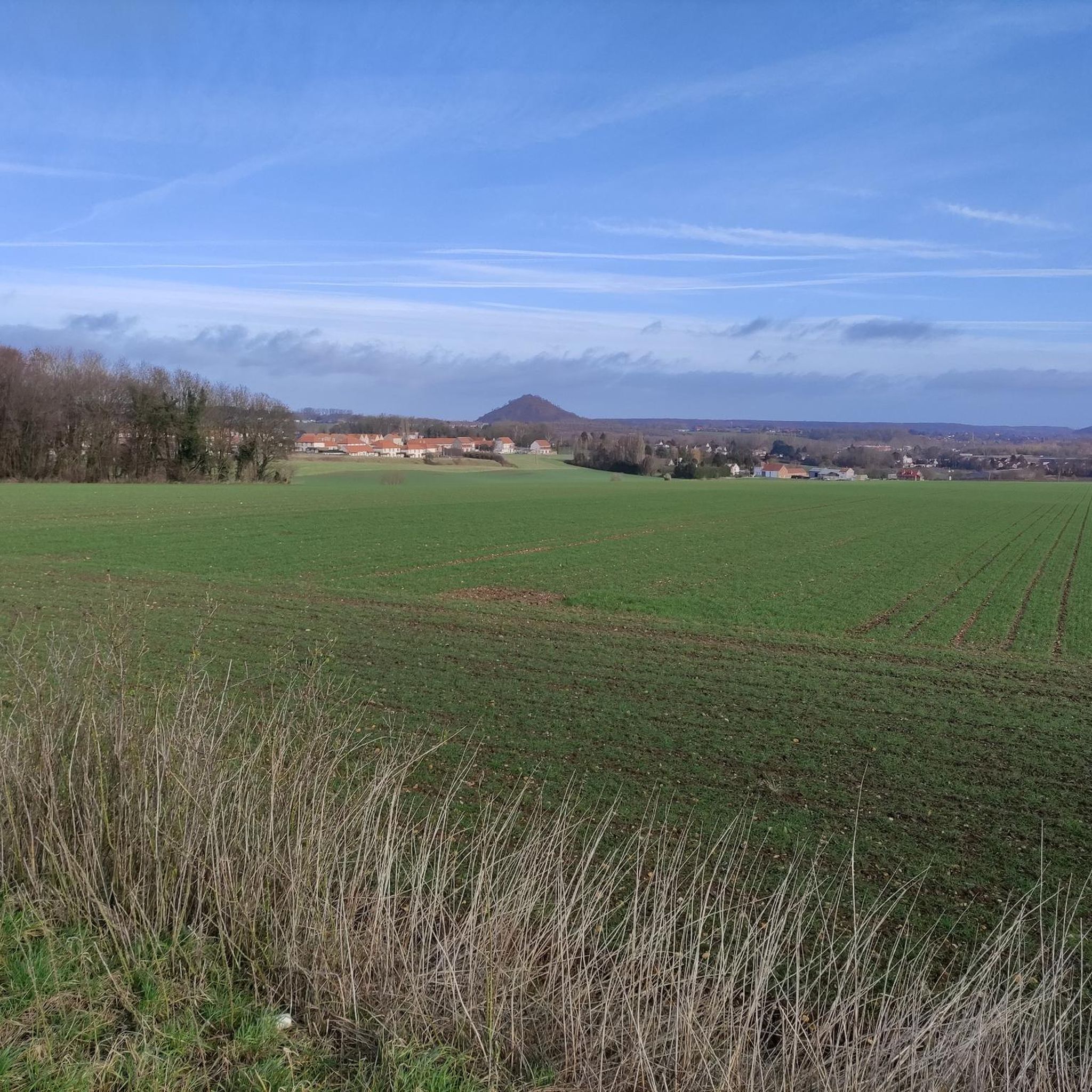
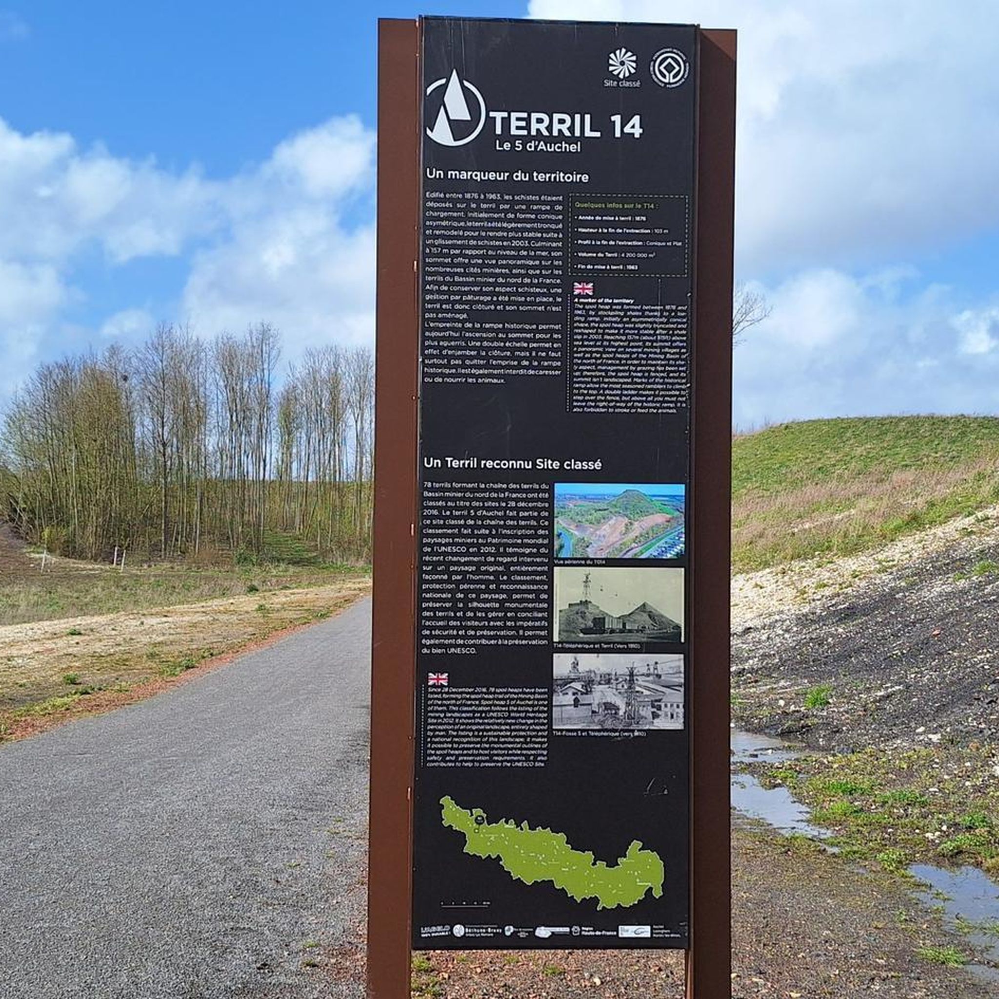
Gravel biking around Marles-Les-Mines offers routes through a landscape shaped by its industrial past and natural features. The region is characterized by renaturated mining sites, including slag heaps (terril) that provide varied topography and challenging ascents. River valleys like the Clarence, Rimbert, and Lawe incise the generally hilly terrain, creating a mix of flat sections and gentle undulations. Agricultural lands and natural spaces also contribute to the scenic routes available for gravel cyclists.
Best gravel bike trails around Marles-Les-Mines
- The most popular gravel bike trail is Terril 46 of Verquigneul – Canal d'Aire Greenway loop from Béthune, a 29.2 miles (46.9 km) trail that takes 3 hours 9 minutes to complete. This moderate route features both renaturated mining landscapes and riverside greenways.
- Another top favourite among local gravel bikers is Canal d'Aire Greenway – Beuvry Water Sports Center loop from Fouquereuil, a difficult 64.7 miles (104.1 km) path. This route offers extensive riding along the Canal d'Aire Greenway, connecting natural and recreational areas.
- Local gravel bikers also love the Beuvry Water Sports Center – Moulin de Beuvry loop from Fouquereuil, a 34.3 miles (55.2 km) trail leading through varied terrain, often completed in about 3 hours 46 minutes.
- Gravel biking around Marles-Les-Mines is defined by renaturated mining sites, slag heaps (terril), and river valleys. The network offers options for different ability levels, from moderate loops to more challenging long-distance routes.
- The routes in Marles-Les-Mines are highly rated by the komoot community with an average score of 4.3 stars from over 9 reviews. More than 65 gravel bikers have used komoot to explore Marles-Les-Mines's varied terrain.
Last updated: August 27, 2026
2.5
(2)
15
riders
88.1km
05:23
750m
750m
Hard gravel ride. Very good fitness required. Mostly paved surfaces. Suitable for all skill levels.
9
riders
47.9km
02:49
280m
280m
Moderate gravel ride. Good fitness required. Mostly paved surfaces. Suitable for all skill levels.

Sign up for free
6
riders
105km
06:18
830m
830m
Hard gravel ride. Very good fitness required. Mostly paved surfaces. Suitable for all skill levels.
5.0
(1)
5
riders
44.8km
02:55
320m
320m
Moderate gravel ride. Good fitness required. Mostly paved surfaces. Suitable for all skill levels.
3.5
(2)
6
riders
32.7km
02:04
310m
310m
Moderate gravel ride. Good fitness required. Mostly paved surfaces. Suitable for all skill levels.
Get access to more routes and recommendations from other explorers.
Sign up for free
Already have an account?
Our route recommendations are based on thousands of hikes, rides, and runs completed by other people on komoot.
Start today with a free account
Your next adventure awaits.
Login or Signup

Tips from the Community

A beautiful one on the history of the North
0
0
Beautiful route, very good surface. A real billiard table.
0
0


Magnificent, unspoiled natural setting, ideal for walks and hikes. Departure from the "cuisse maraune" (Maraune thigh) to the Chartreuses de Gosnay and the Bois des Dames de Bruay-la-Buissière. Open year-round. Fishing and hiking. Free access.
0
0

Small, easy-going single track that can be done on gravel and mountain bikes.
2
0

The Nécropole nationale de Notre-Dame-de-Lorette is one of the largest and most impressive military cemeteries in France. Situated on a hill in Ablain-Saint-Nazaire, this cemetery contains the graves of more than 42,000 soldiers who died during the First World War. The cemetery was inaugurated in 1925 and includes a basilica, a tower-lantern and a museum.
7
2


The church dedicated to the Mother of God under the title "Notre-Dame de Lorette" rises in brilliant white and is visible from far away. But the brilliant impression is deceptive, at the latest when the visitor to the site realizes that they are in a huge military cemetery. Around 20,000 individual graves and a further 23,000 victims of war and tyranny buried in ossuaries are deeply disturbing.
3
0
Frequently Asked Questions
How many gravel bike trails are available around Marles-Les-Mines?
There are over 25 gravel bike trails around Marles-Les-Mines. These routes cater to various skill levels, with 2 easy, 19 moderate, and 4 difficult trails, ensuring options for every rider.
What kind of terrain can I expect on gravel bike trails in Marles-Les-Mines?
The terrain around Marles-Les-Mines is uniquely shaped by its industrial past and natural features. You'll encounter renaturated mining sites, including distinctive slag heaps (terrils) that offer varied topography and challenging ascents. The region also features hilly and undulating landscapes, river valleys like the Clarence, Rimbert, and Lawe, and scenic agricultural lands, providing a diverse gravel biking experience.
Are there any long-distance gravel routes for experienced riders?
Yes, for experienced riders seeking a challenge, the region offers extensive routes. The Canal d'Aire Greenway – Beuvry Water Sports Center loop from Fouquereuil is a difficult 64.7-mile (104.1 km) path, offering extensive riding along the Canal d'Aire Greenway and connecting natural and recreational areas.
What are some notable landmarks or natural features I can see along the gravel trails?
Many trails pass through or near significant sites. You can explore renaturated mining landscapes, including the iconic terrils. For specific viewpoints, consider visiting Terril Number 5 of Lapugnoy or the View of the Terrils du Pays à Part. The Vallée Carreau Park also offers transformed former mining sites into green spaces with wetlands.
Are there any family-friendly gravel biking options in the area?
While specific 'easy' family routes aren't highlighted, many of the moderate trails can be suitable for families with some biking experience. The region's green spaces and transformed mining sites often feature paths that are less technical. Always check the route details for elevation and distance to ensure it matches your family's ability.
What is the best time of year for gravel biking around Marles-Les-Mines?
The region is generally pleasant for gravel biking from spring through autumn. Spring brings blooming landscapes, while autumn offers beautiful foliage. Summers are typically mild. Winter conditions can vary, so it's advisable to check local weather forecasts for rain or snow, which might affect trail conditions on unpaved sections.
Where can I find parking for gravel biking trailheads?
Parking availability varies by trailhead. Many routes start from towns or villages like Béthune or Fouquereuil, where public parking is generally available. For specific starting points, it's recommended to check the individual route details on komoot, as users often share information about parking facilities.
Are there any circular gravel bike routes?
Yes, many of the gravel bike trails in the area are designed as loops. For example, the Terril 46 of Verquigneul – Canal d'Aire Greenway loop from Béthune is a popular moderate circular route that combines renaturated mining landscapes with riverside greenways.
What do other gravel bikers enjoy most about riding in Marles-Les-Mines?
The komoot community highly rates the gravel biking experience around Marles-Les-Mines, with an average score of 4.4 stars from over 5 reviews. Riders often praise the unique blend of industrial heritage transformed into natural landscapes, the varied topography provided by the terrils, and the extensive network of trails that offer diverse challenges and scenic views.
Can I access these gravel trails using public transport?
While Marles-Les-Mines and surrounding towns have public transport connections, direct access to specific trailheads with a bike might require some planning. Regional buses or trains might serve larger towns near trail starting points. It's best to research local public transport options for your chosen starting location.
Are there any cafes or places to stop for refreshments along the routes?
The routes often pass through or near small towns and villages where you can find local cafes, bakeries, or small shops for refreshments. Larger towns like Béthune or Fouquereuil, which serve as starting points for several routes, offer more extensive options for food and drink. Checking the map for points of interest along your chosen route can help you plan your stops.
What is the elevation gain like on these gravel trails?
The region features a generally hilly landscape, so you can expect varied elevation gains. For instance, the Walking and cycling trails – La Lawe loop from Lapugnoy has an elevation gain of approximately 313 meters over 32.7 km, while the longer Canal d'Aire Greenway – Beuvry Water Sports Center loop from Fouquereuil includes over 800 meters of ascent. The slag heaps (terrils) are particularly known for providing challenging climbs.
Most popular routes around Marles-Les-Mines
Most popular attractions around Marles-Les-Mines

Get inspired with the komoot mobile app


Explore more
Browse the best Gravel rides in other regions.
