The best gravel rides around Mont-Saint-Éloi
4.0
(18)
153
riders
57
rides
Gravel biking around Mont-Saint-Éloi offers routes through varied terrain, characterized by riverbanks, canals, and agricultural landscapes. The region features a network of paths suitable for gravel bikes, including dedicated cycle paths and trails alongside waterways. While generally low in elevation, some routes incorporate gentle ascents through rolling hills and diverse woods. This composition of open fields, riparian zones, and historical sites makes it suitable for exploring on gravel bikes.
Best gravel bike trails around Mont-Saint-Éloi
- The most popular gravel bike…
Last updated: August 27, 2026
4.8
(8)
36
riders
38.4km
02:14
110m
110m
Moderate gravel ride. Good fitness required. Mostly paved surfaces. Suitable for all skill levels.
4.0
(2)
19
riders
112km
06:20
550m
550m
Hard gravel ride. Very good fitness required. Mostly paved surfaces. Suitable for all skill levels.

Sign up for free
1.0
(1)
15
riders
53.8km
03:11
170m
170m
Moderate gravel ride. Good fitness required. Mostly paved surfaces. Suitable for all skill levels.
5.0
(1)
9
riders
61.0km
03:40
410m
410m
Moderate gravel ride. Good fitness required. Mostly paved surfaces. Suitable for all skill levels.
5.0
(1)
10
riders
47.7km
03:10
430m
430m
Moderate gravel ride. Good fitness required. Mostly paved surfaces. Suitable for all skill levels.
Get access to more routes and recommendations from other explorers.
Sign up for free
Already have an account?
Our route recommendations are based on thousands of hikes, rides, and runs completed by other people on komoot.
Start today with a free account
Your next adventure awaits.
Login or Signup
Tips from the Community

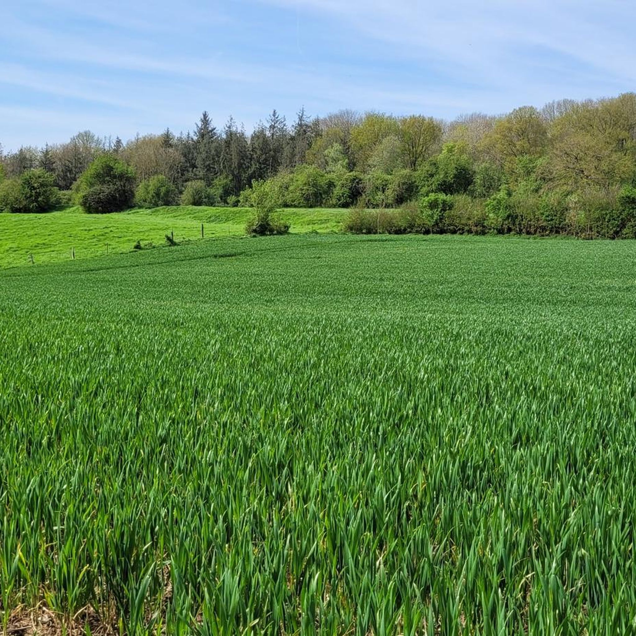
Stabilized ground overall. Some passages of large gravel. Pleasant trail to do on Gravel bike, even on a hybrid bike
0
0
Well-preserved space. The rampart tour is worth the detour. There is even a shelter for bike parking.
0
0
Quiet path with uneven surface. Abandoned locks.
0
0


End of the trip at this villa in Vitry en Artois
0
0

The Maroeuil Marsh natural area offers a pleasant walk along the Scarpe River, with interesting flora and fauna. The signposting is illustrated by the small Vertigo de Des Moulins snail, which you can try to spot on the marsh plants.
0
0

Le Jardin Minelle is fed by spring water and has a central water feature which is a meeting place for various birds such as moorhens, ducks and swans. It is a beautiful place to walk or enjoy nature.
6
0
The Nécropole nationale de Notre-Dame-de-Lorette is one of the largest and most impressive military cemeteries in France. Situated on a hill in Ablain-Saint-Nazaire, this cemetery contains the graves of more than 42,000 soldiers who died during the First World War. The cemetery was inaugurated in 1925 and includes a basilica, a tower-lantern and a museum.
7
2
Frequently Asked Questions
How many gravel bike trails are available in the Mont-Saint-Éloi area?
There are over 60 gravel bike trails around Mont-Saint-Éloi, offering a wide range of options for different skill levels. These routes traverse varied terrain, including riverbanks, canals, and agricultural landscapes.
Are there easy gravel bike trails suitable for beginners in Mont-Saint-Éloi?
Yes, Mont-Saint-Éloi offers several easy gravel bike trails perfect for beginners. One excellent option is the Scarpe riverbanks – The Scarpe by bike loop from Anzin-Saint-Aubin, which is 18.3 miles (29.5 km) long and leads through pleasant riverine landscapes.
What are some challenging gravel bike routes for advanced riders in the region?
For advanced gravel bikers seeking a challenge, the Marais de la Galance – Canal de la Deûle loop from Savy-Berlette is a difficult 72.5 miles (116.6 km) path. This route navigates through wetlands and along the Canal de la Deûle, providing a demanding and rewarding experience.
Are there any circular gravel bike routes around Mont-Saint-Éloi?
Many of the gravel bike routes in Mont-Saint-Éloi are circular, allowing you to start and finish at the same point. For example, the Scarpe riverbanks – The Scarpe by bike loop from Thélus is a popular circular trail following the Scarpe river.
What kind of landscapes can I expect on gravel bike trails near Mont-Saint-Éloi?
Gravel biking around Mont-Saint-Éloi is characterized by diverse landscapes, including riverbanks, canals, and agricultural fields. You'll find a mix of dedicated cycle paths and trails alongside waterways, offering both open views and riparian zones.
What do other gravel bikers say about the trails in Mont-Saint-Éloi?
The routes in Mont-Saint-Éloi are highly rated by the komoot community, with an average score of 4.5 stars from 32 reviews. Riders often praise the varied terrain and the well-maintained paths along the rivers and canals.
Are there any interesting landmarks or attractions along the gravel bike routes?
Yes, several routes pass by significant historical sites and natural monuments. You might encounter places like the Canadian National Vimy Memorial or the Notre-Dame-de-Lorette National Cemetery. For natural sights, consider visiting the Marais de Maroeuil.
Where can I find parking for gravel biking in Mont-Saint-Éloi?
Many routes start from towns and villages with public parking facilities. For instance, routes like the The Scarpe by bike – Canadian Trail loop from Arras often have convenient parking options available in the starting locations such as Arras.
Are there any cafes or places to stop for refreshments along the trails?
While specific cafes vary by route, many trails pass through or near charming villages and towns where you can find local bakeries, cafes, or small shops to refuel. Planning your route with komoot allows you to identify such points of interest beforehand.
What is the best time of year for gravel biking in Mont-Saint-Éloi?
The region is generally suitable for gravel biking from spring through autumn, when the weather is mild and the paths are dry. While winter riding is possible, conditions can be wet and muddy, especially along riverbanks and agricultural tracks.
Can I access gravel bike routes in Mont-Saint-Éloi using public transport?
Some starting points for gravel bike routes, particularly those in larger towns like Arras, are accessible by public transport. It's advisable to check local bus or train schedules and bike transport policies if you plan to use public transport to reach your starting point.
Are there any hidden gems or less-known viewpoints along the gravel trails?
The Mont-Saint-Éloi area, with its gentle ascents and varied terrain, offers numerous scenic viewpoints, particularly along the riverbanks and higher agricultural lands. Exploring routes like the St John the Baptist Church – Mont Hernu cycle path loop from Arras can lead you to picturesque spots and less-traveled paths.
Most popular routes around Mont-Saint-Éloi
Most popular attractions around Mont-Saint-Éloi

Get inspired with the komoot mobile app


Explore more
Browse the best Gravel rides in other regions.
