The best gravel rides around Largillay-Marsonnay
4.4
(32)
199
riders
31
rides
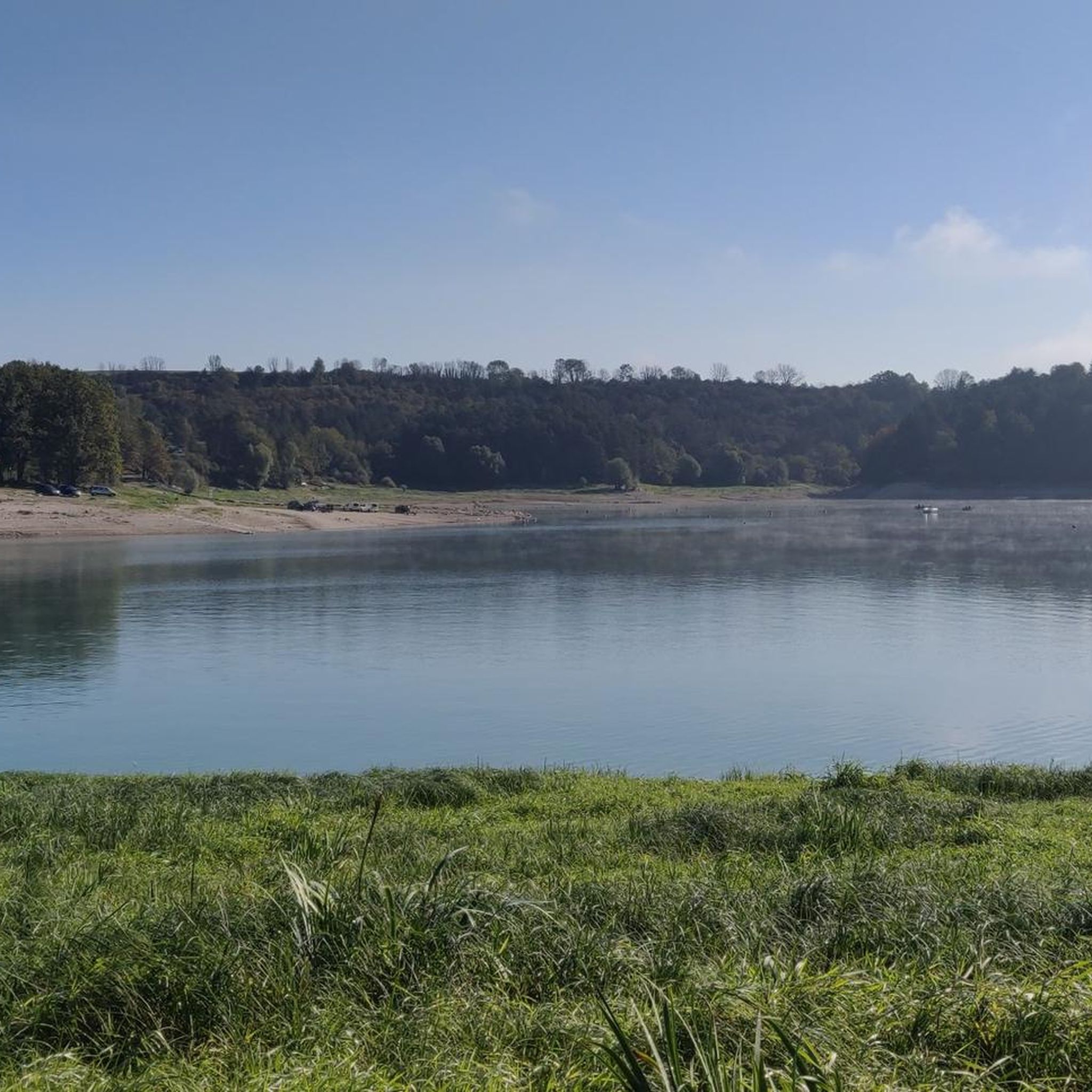
Gravel biking around Largillay-Marsonnay features a landscape characterized by significant elevation changes, dense woodlands, and prominent water bodies such as Lac de Clairvaux-les-Lacs and Lake Vouglans. The region's terrain includes challenging climbs and descents, often following routes that offer views of the lakes and the Ain river. These gravel bike trails frequently navigate through forested areas and along the shores of the large reservoirs.
Best gravel bike trails around Largillay-Marsonnay
- The most popular gravel bike trail is Lac de Clairvaux-les-Lacs…
Last updated: July 3, 2026
3.8
(4)
44
riders
Hard gravel ride. Very good fitness required. Mostly paved surfaces. Suitable for all skill levels.
4.8
(8)
32
riders
45km
02:51
760m
760m
Hard gravel ride. Very good fitness required. Mostly paved surfaces. Suitable for all skill levels.

Sign up for free
4.0
(5)
31
riders
29.1km
02:04
440m
440m
Hard gravel ride. Good fitness required. You may need to push your bike for some segments of this route.
15
riders
39.9km
02:42
710m
710m
Hard gravel ride. Very good fitness required. Mostly paved surfaces. Suitable for all skill levels.
4.5
(2)
8
riders
Hard gravel ride. Very good fitness required. Mostly paved surfaces. Suitable for all skill levels.
Get access to more routes and recommendations from other explorers.
Sign up for free
Already have an account?
Our route recommendations are based on thousands of hikes, rides, and runs completed by other people on komoot.
Start today with a free account
Your next adventure awaits.
Login or Signup
Tips from the Community


The Saut de la Saisse is a waterfall in France located in the Jura massif, at the point where the Ain river flows into the Vouglans reservoir at Pont-de-Poitte and Patornay, between Lons-le-Saunier and Clairvaux-les-Lacs. A "marmite du diable", "marmite de géant" or "marmite glaciaire" in Switzerland (or simply "marmite" or "chaudron") is a more or less cylindrical natural cavity carved into the rock by ancient, generally torrential watercourses, carrying pebbles or gravel, which promotes swirling erosion (a phenomenon called "marmitage").
0
0
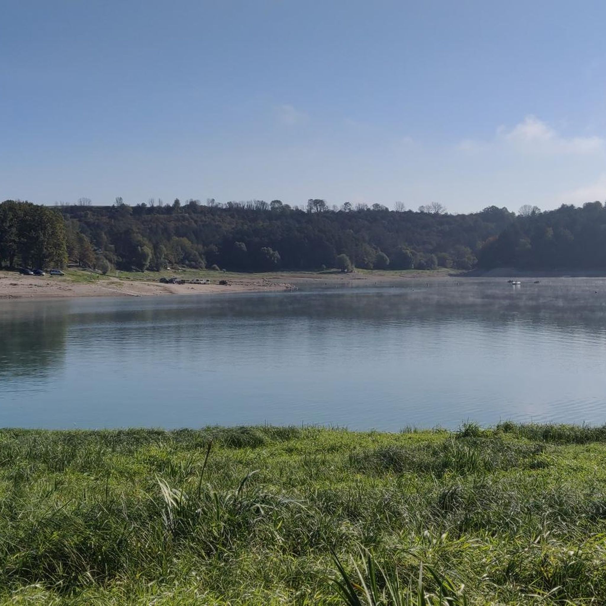
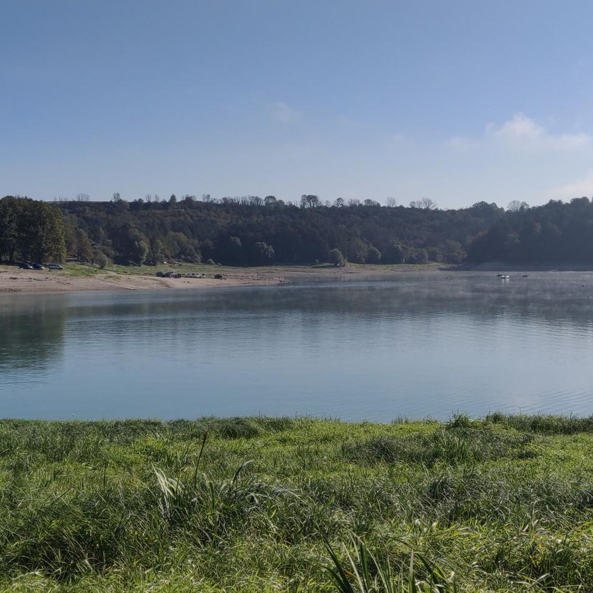
Climbed it today (17-8-25); it's open, and there are signs along the road showing your progress. Traffic is quiet, and a beautiful green climb, especially further on.
0
0


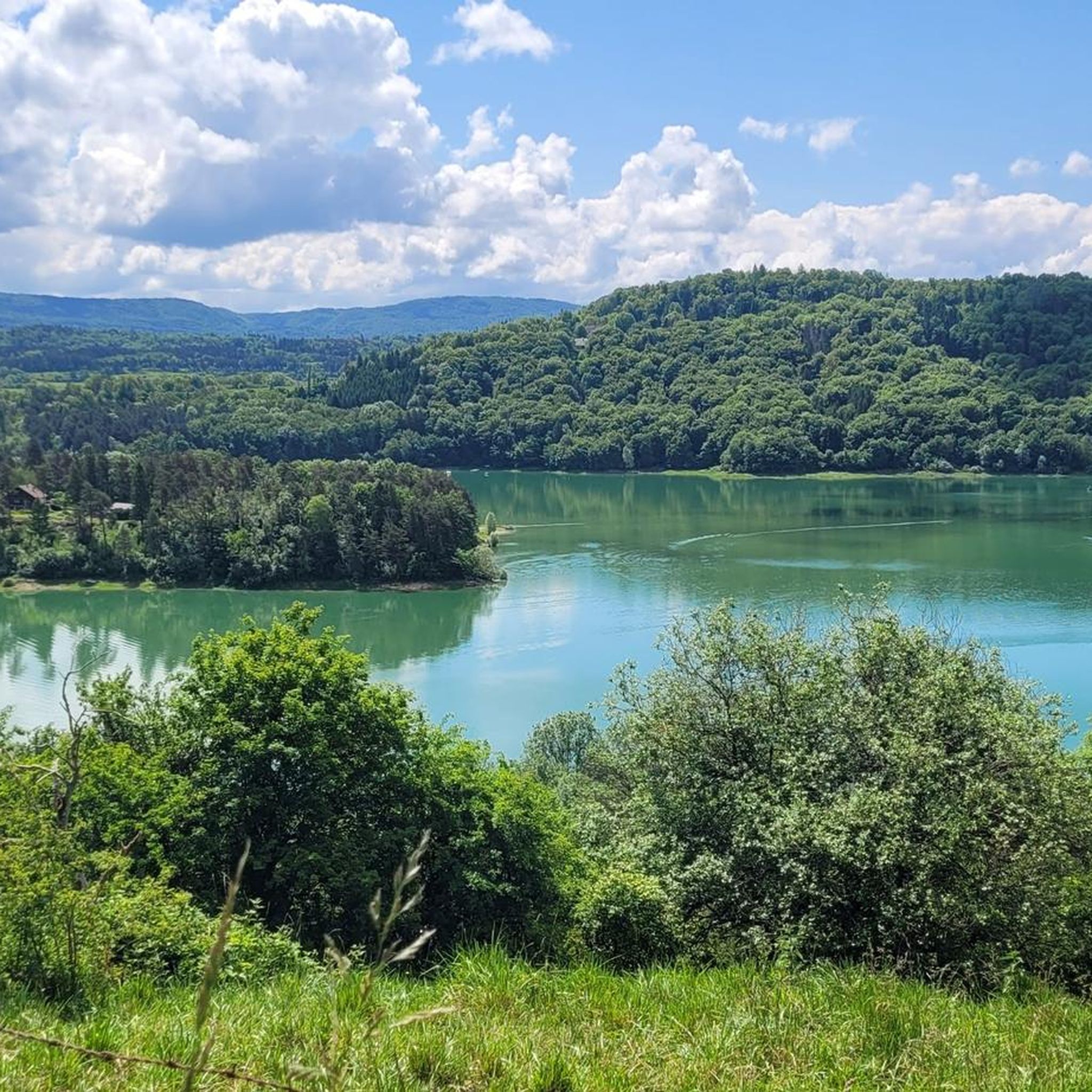
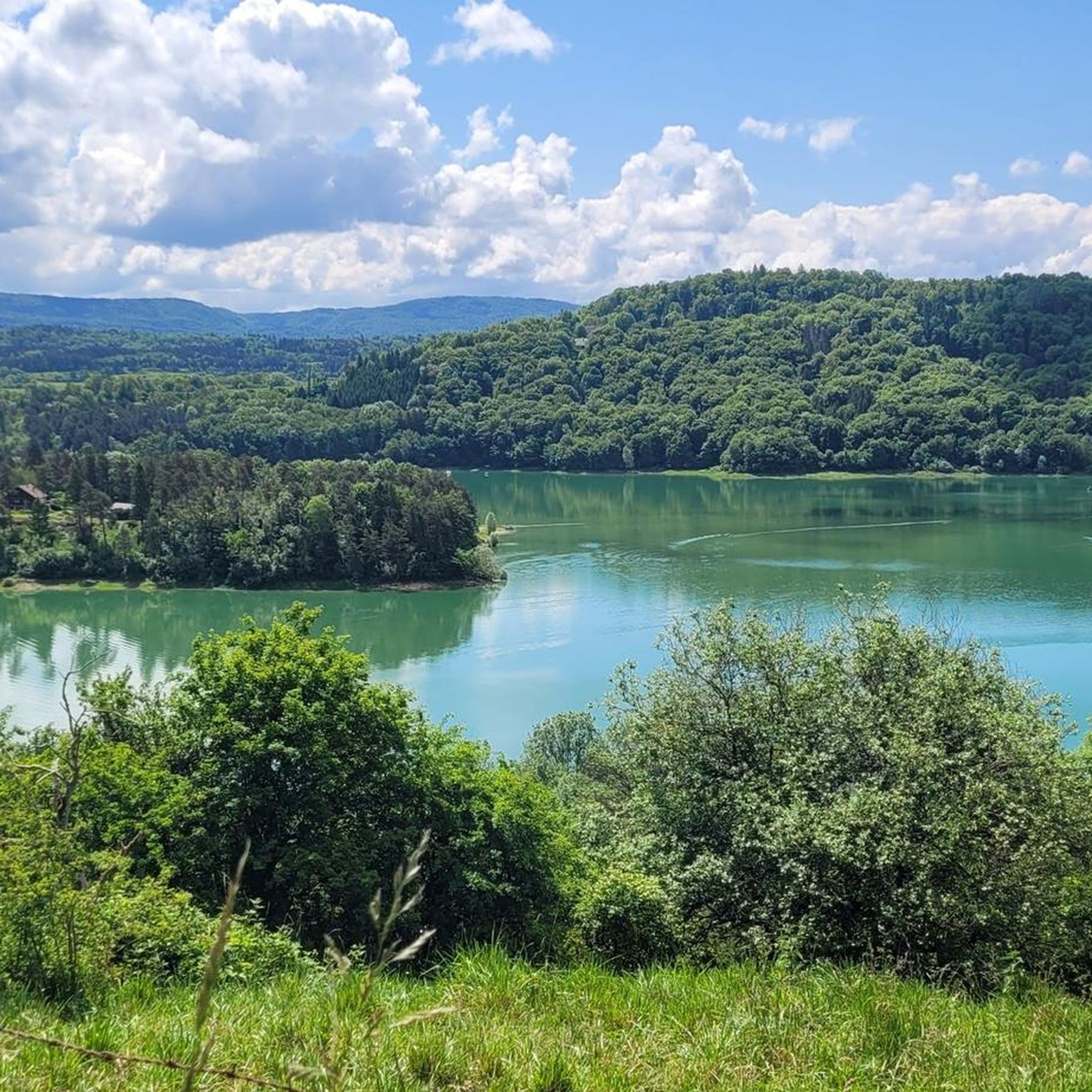
a magnificent view of the lake
0
0

Classified as 3rd category, the Col de la Joux was crossed during the 8th stage of the 2017 Tour De France!
0
0
Frequently Asked Questions
How many gravel bike trails are available around Largillay-Marsonnay?
There are over 30 gravel bike trails in the Largillay-Marsonnay region. While the area is known for its challenging routes, with 19 difficult and 11 moderate trails, there is also 1 easier option available for those seeking a less strenuous ride.
Are there gravel bike trails suitable for beginners in Largillay-Marsonnay?
The Largillay-Marsonnay region is characterized by significant elevation changes and challenging terrain, making many routes more suitable for experienced riders. However, there is at least one easier gravel bike trail available. For a less demanding experience, consider exploring the flatter sections along the lakes or river where possible.
What are some of the longer gravel bike routes in Largillay-Marsonnay?
For longer rides, the Vouglans Dam – View of Lake Vouglans loop from Pont-de-Poitte covers 41.3 miles (66.5 km) with substantial elevation. Another extensive option is the View of the Ain at Pont-de-Poitte – Route d'Étival loop from Pont-de-Poitte, which is 36.8 miles (59.3 km) long.
Are there any circular gravel bike routes or loops in the area?
Yes, many of the gravel bike trails around Largillay-Marsonnay are designed as loops, offering varied scenery without retracing your path. Examples include the Lac de Clairvaux-les-Lacs – Pyle Bridge loop from Clairvaux-les-Lacs and the Stunning view of the lake – View of Lake Vouglans loop from Boissia.
What kind of terrain can I expect on gravel bike trails in Largillay-Marsonnay?
The terrain is diverse, featuring significant elevation changes with challenging climbs and descents. You'll often ride through dense woodlands, along the shores of large reservoirs like Lac de Clairvaux-les-Lacs and Lake Vouglans, and alongside the Ain river. Expect a mix of gravel paths, forest roads, and some paved sections.
What natural attractions can I see along the gravel bike trails?
The region offers several natural highlights. You might encounter the Quinquenouille Waterfall, explore the Moss-Covered Rocks in the Forest near Lac de Vouglans, or visit the Giant's Kettles. Many routes also offer stunning views from spots like La Fratte Viewpoint.
Are there any historical or interesting landmarks along the routes?
Yes, the area has remnants of its railway history. You can find highlights such as the Tunnel de la Diane (Voie PLM), the Metal Bridge and Tunnel of the Voie PLM, and the impressive Révigny Metal Viaduct, often integrated into the Voie Verte PLM cycle path.
What do other gravel bikers say about the trails in Largillay-Marsonnay?
The gravel biking routes in Largillay-Marsonnay are highly regarded by the komoot community, holding an average rating of 4.2 stars from over 25 reviews. Riders frequently praise the extensive lake circuits, the challenging elevation gains, and the scenic paths along the Ain river.
When is the best time of year for gravel biking in Largillay-Marsonnay?
The region is generally best enjoyed from spring through autumn when the weather is milder and the trails are dry. Summer offers warm conditions, ideal for combining rides with lake activities. Winter can be challenging due to colder temperatures and potentially icy or muddy conditions, especially on higher elevation trails.
Are there any routes that offer views of Lake Vouglans?
Absolutely. Lake Vouglans is a prominent feature of the region. The Stunning view of the lake – View of Lake Vouglans loop from Boissia is specifically designed to showcase scenic vistas over the lake. The Vouglans Dam – View of Lake Vouglans loop from Pont-de-Poitte also provides extensive views around the dam and lake.
Can I find routes that follow the Ain river?
Yes, several routes in the Largillay-Marsonnay area incorporate sections along the Ain river. For instance, the View of the Ain at Pont-de-Poitte – Route d'Étival loop from Pont-de-Poitte offers views of the river. The region's network often includes paths that trace the river's course, especially around the larger reservoirs it feeds.
Most popular routes around Largillay-Marsonnay
Most popular attractions around Largillay-Marsonnay

Get inspired with the komoot mobile app


Explore more
Browse the best Gravel rides in other regions.
