The best gravel rides around Gattières
4.5
(76)
635
riders
16
rides
Gravel biking around Gattières offers diverse terrain within the Préalpes d'Azur Regional Natural Park. The region features a mix of cultivated valleys, dense forests, and dramatic gorges, with elevations ranging from 48 to 950 meters. This varied topography provides a blend of unpaved tracks and country roads suitable for gravel exploration, connecting Mediterranean and Alpine-influenced landscapes.
Best gravel bike trails around Gattières
- The most popular gravel bike trail is Promenade des Anglais – Quai des États-Unis Promenade loop from Saint-Philippe…
Last updated: July 3, 2026
4.7
(23)
185
riders
51.2km
03:44
1,060m
1,060m
Hard gravel ride. Very good fitness required. Mostly paved surfaces. Suitable for all skill levels.
4.2
(6)
57
riders
81.0km
06:08
1,850m
1,850m
Hard gravel ride. Very good fitness required. Mostly paved surfaces. Suitable for all skill levels.

Sign up for free
4.0
(23)
121
riders
36.0km
02:37
740m
740m
Hard gravel ride. Very good fitness required. Mostly paved surfaces. Suitable for all skill levels.
4.0
(3)
20
riders
55.0km
04:43
1,630m
1,630m
Hard gravel ride. Very good fitness required. Mostly paved surfaces. Suitable for all skill levels.
4.0
(3)
25
riders
47.7km
03:52
1,260m
1,260m
Hard gravel ride. Very good fitness required. Mostly paved surfaces. Suitable for all skill levels.
Get access to more routes and recommendations from other explorers.
Sign up for free
Already have an account?
Our route recommendations are based on thousands of hikes, rides, and runs completed by other people on komoot.
Start today with a free account
Your next adventure awaits.
Login or Signup
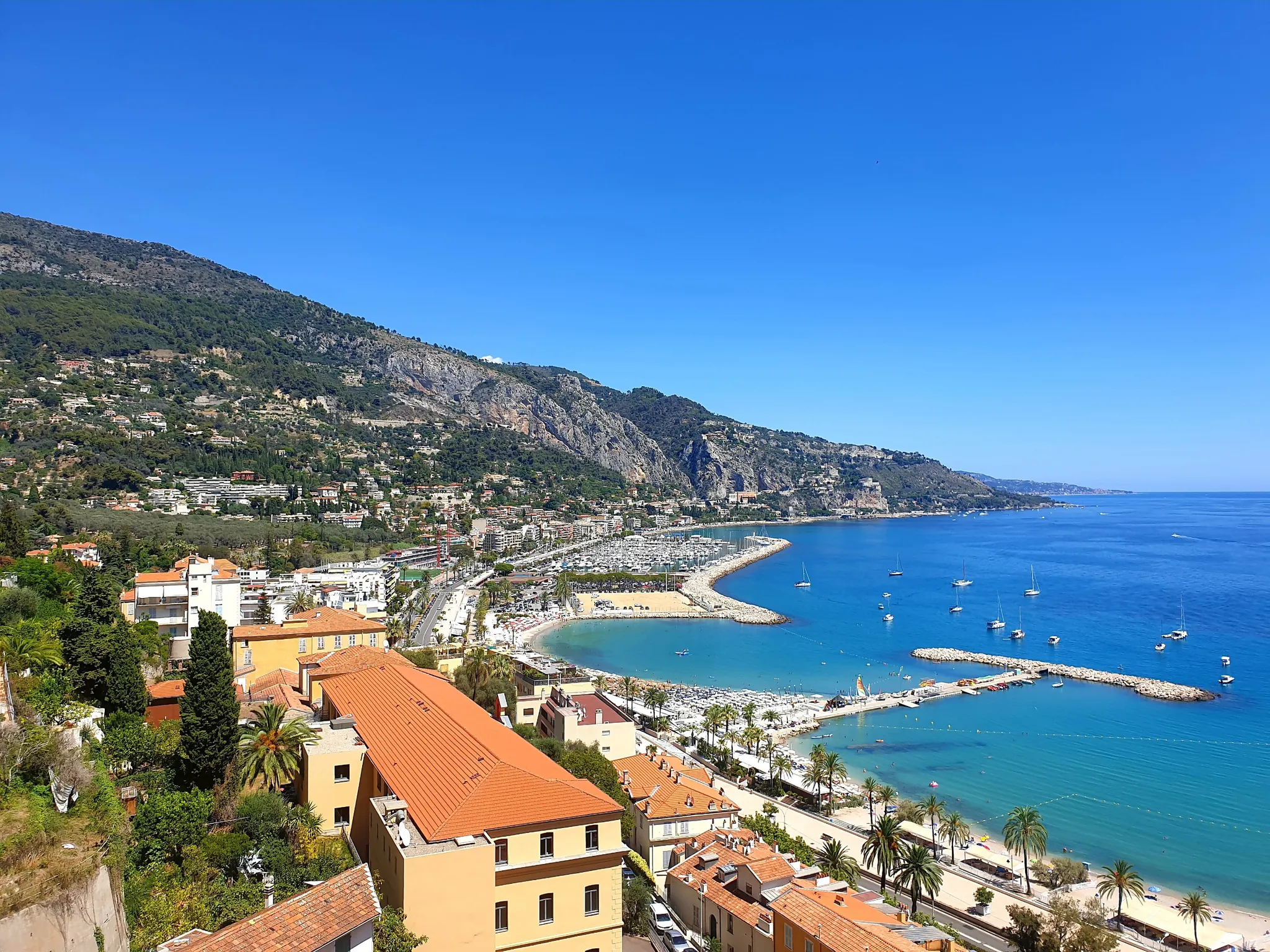
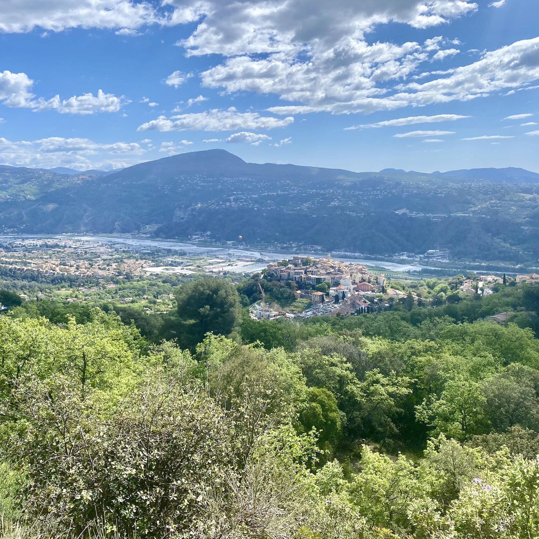
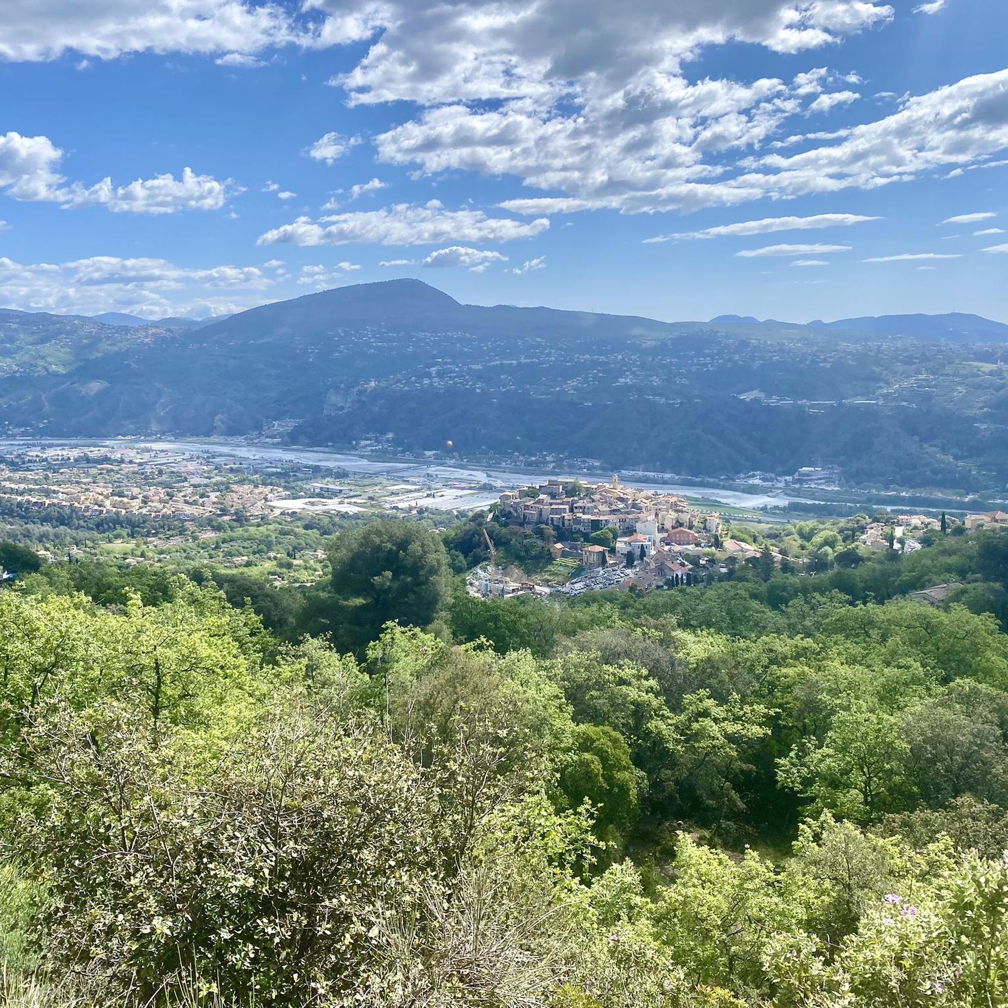
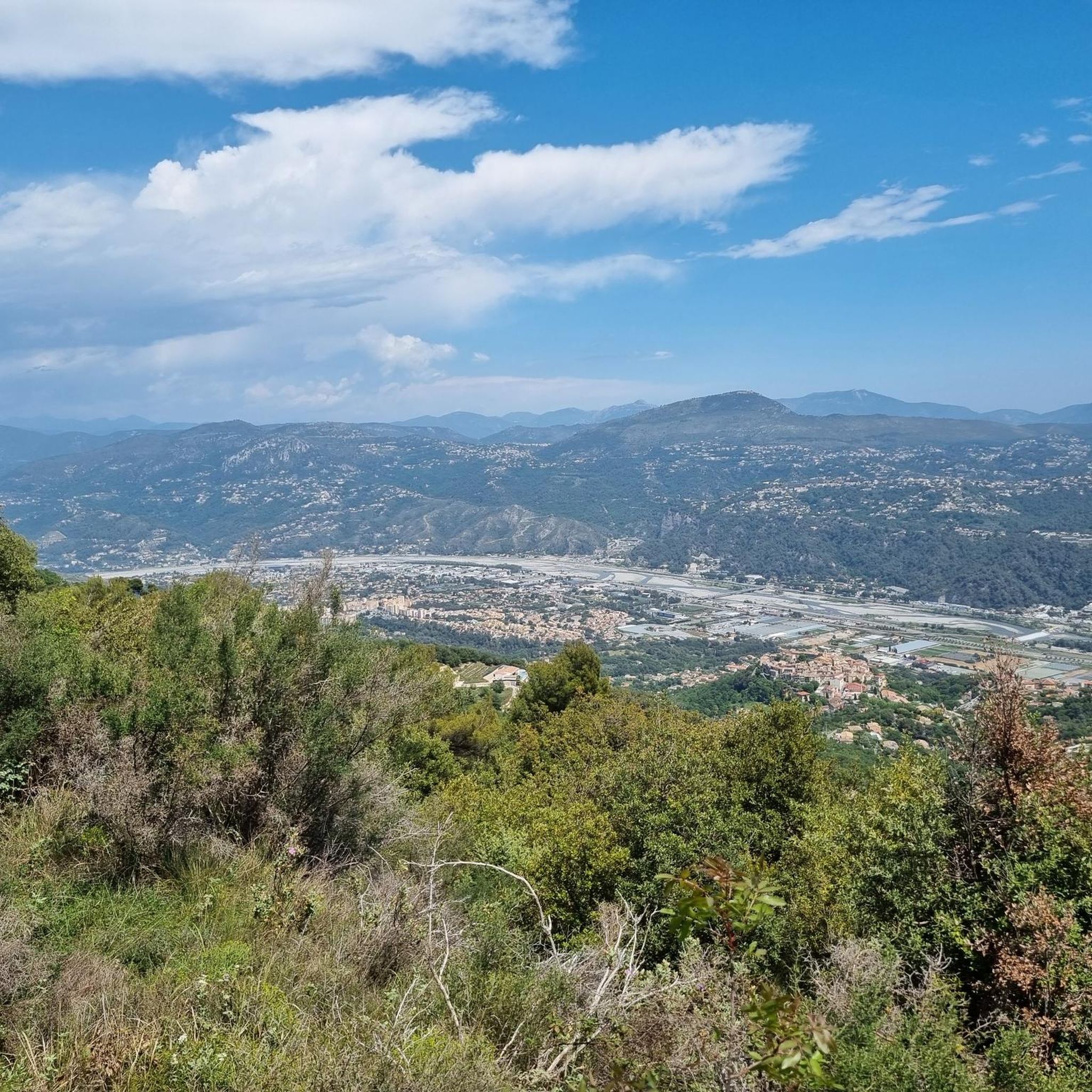
Other adventures around Gattières

Tips from the Community

The cycle path has been moved to the pavement.... Cut by multiple pedestrian crossings; watch out for undisciplined pedestrians...
0
0

Great descent and perfect view of what lies below...
0
0

Excursion boats for coastal panorama tours also depart from the port of Lympia.
0
0

I did it via Coaraze. Magnificent scenery and a beautiful view of the event and its surrounding area from the top of Ferion. A moderately easy hike. The elevation changes from 500 meters to 1400 meters.
0
0

The Col d'Èze, located between Nice and Monaco, near La Turbie in the Alpes-Maritimes department, peaks at 507 m. Located less than 5 km from the coast, it offers a remarkable panorama of the Côte d'Azur: Cap Ferrat to the west, and Italy to the east. It is part of the Route des Grandes Alpes route. Despite its modest altitude, it is important to remember that the climbs all start at sea level and that the elevation gain is therefore quite significant at nearly 500 m. There are many options for accessing the Col d'Èze...
1
0

There are some wonderful walks to do in Nice and the surrounding area. Please note that everything will be blocked on Sunday 29th Ironman in Nice... I'll be there as a volunteer 😉
0
0

Frequently Asked Questions
How many gravel bike trails are available around Gattières?
There are over 30 gravel bike trails around Gattières, offering a wide range of options for exploration. Most of these routes are rated as difficult, providing a challenge for experienced riders, with a few moderate options available as well.
What kind of terrain can I expect on gravel bike trails near Gattières?
Gravel biking around Gattières offers incredibly diverse terrain, from cultivated valleys and dense forests to dramatic gorges and limestone plateaus. You'll encounter a mix of unpaved tracks, forest roads, and country lanes, with elevations ranging significantly as you traverse the Préalpes d'Azur Regional Natural Park.
Are there any family-friendly or easier gravel routes in the Gattières area?
While many routes are challenging, there are some moderate options suitable for those looking for a less strenuous ride. For example, the Bicycle Path Along Sea – Promenade des Anglais loop from Parc Impérial offers a moderate 41.3 km ride with minimal elevation gain, providing a more relaxed experience closer to the coast.
What are some scenic viewpoints or natural features to look out for on these trails?
The region is rich in scenic beauty. You can enjoy panoramic vistas from various points, including the Col de Vence or Castle Hill. The Préalpes d'Azur also features spectacular gorges and verdant valleys. For a unique natural attraction, consider visiting the Castle Waterfall.
What do other gravel bikers say about the trails in Gattières?
The gravel biking routes around Gattières are highly rated by the komoot community, with an average score of 4.5 stars from over 70 reviews. Riders often praise the varied terrain, challenging climbs, and the stunning natural beauty of the Préalpes d'Azur, making it a rewarding destination for gravel exploration.
Are there any historical sites or landmarks I can visit along the gravel routes?
Yes, the area around Gattières is dotted with interesting landmarks. You could pass by the historic Fort du Mont Chauve d'Aspremont, or explore charming perched villages. The Fountain of the Sun at Place Masséna in Nice is also accessible on some routes, offering a cultural stop.
Are there any circular gravel bike routes available?
Many of the gravel routes around Gattières are designed as loops, allowing you to start and finish in the same location. Examples include the challenging Mount Cima, Aspremont – Tourrette-Levens Village loop from Aspremont and the Aspremont – Mount Cima, Aspremont loop from Gambetta, both offering extensive ascents and descents through mountainous terrain.
What is the best time of year for gravel biking in Gattières?
Gattières benefits from a climate influenced by both Mediterranean and Alpine characteristics. Spring and autumn generally offer the most pleasant conditions for gravel biking, with milder temperatures and less extreme weather. Summer can be hot, especially in the valleys, while winter might bring cooler temperatures and potentially some snow at higher altitudes.
Can I bring my dog on the gravel bike trails around Gattières?
The Préalpes d'Azur Regional Natural Park, where Gattières is located, is generally welcoming to outdoor enthusiasts. However, specific regulations regarding dogs on trails can vary. It's always advisable to keep dogs on a leash, especially in protected areas or near wildlife, and to check local signage for any restrictions on particular paths.
Are there options for challenging gravel rides with significant climbs?
Absolutely. The Gattières area is known for its challenging routes with substantial elevation gains. Many of the 30+ routes are rated as difficult, such as the Promenade des Anglais – Quai des États-Unis Promenade loop from Saint-Philippe, which features over 1800 meters of climbing over 80 kilometers, combining coastal sections with inland ascents.
Where can I find parking near the gravel bike trailheads in Gattières?
Gattières is a charming village, and parking is typically available within or on the outskirts of the village. For specific trailheads, it's often possible to find parking in nearby towns or designated areas, especially for routes that start from villages like Aspremont or near popular passes like Col de Vence. Always check local signs for parking regulations.
Are there any mountain passes accessible by gravel bike in this region?
Yes, the region is home to several mountain passes that are excellent for gravel biking. Notable passes include the Col de Vence, Ferres Pass, and Col de Villevieille. These passes offer challenging climbs and rewarding views, often forming part of longer gravel loops.
Most popular attractions around Gattières

Get inspired with the komoot mobile app


Explore more
Browse the best Gravel rides in other regions.
