The best cycling routes around Gattières
4.5
(674)
17,996
riders
186
rides
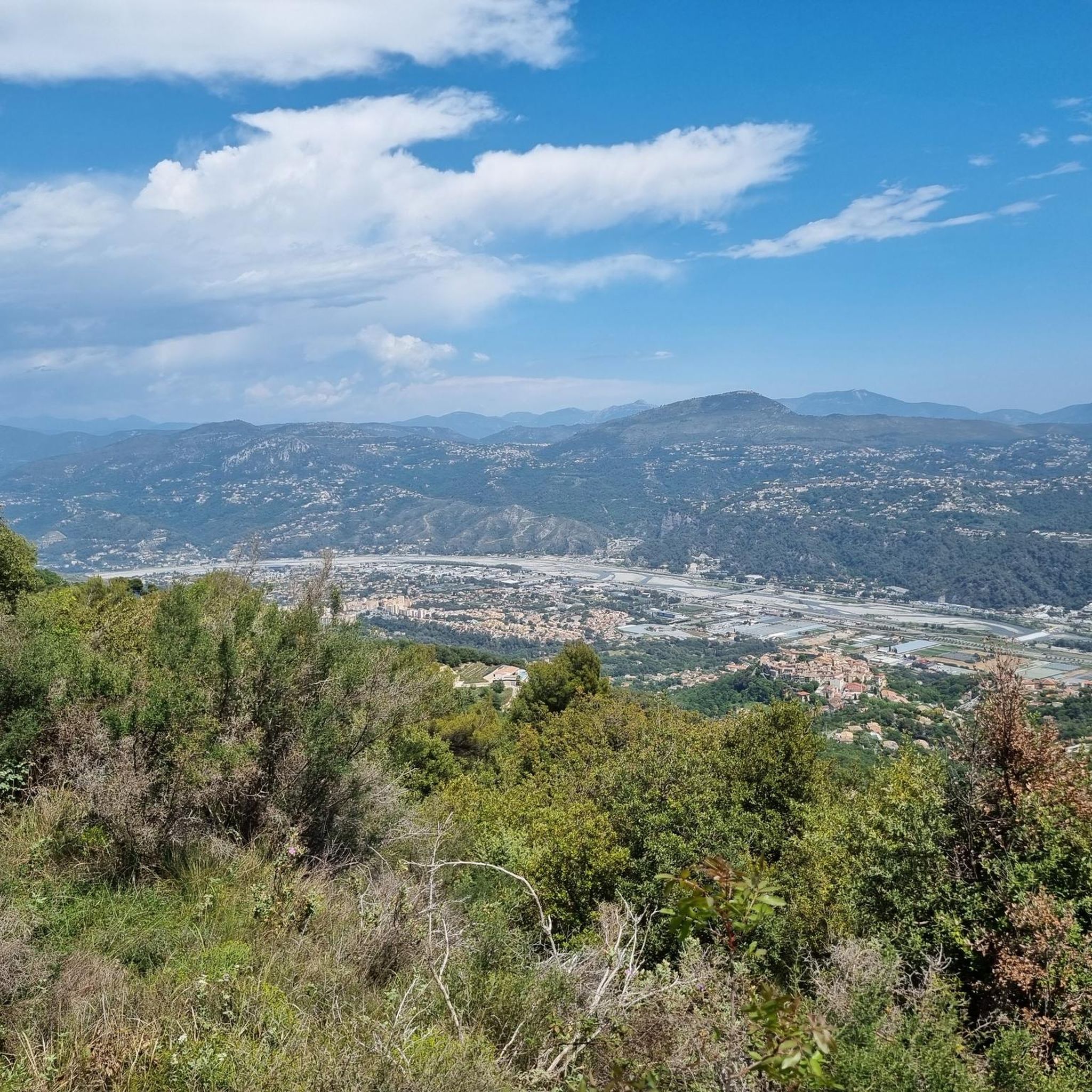
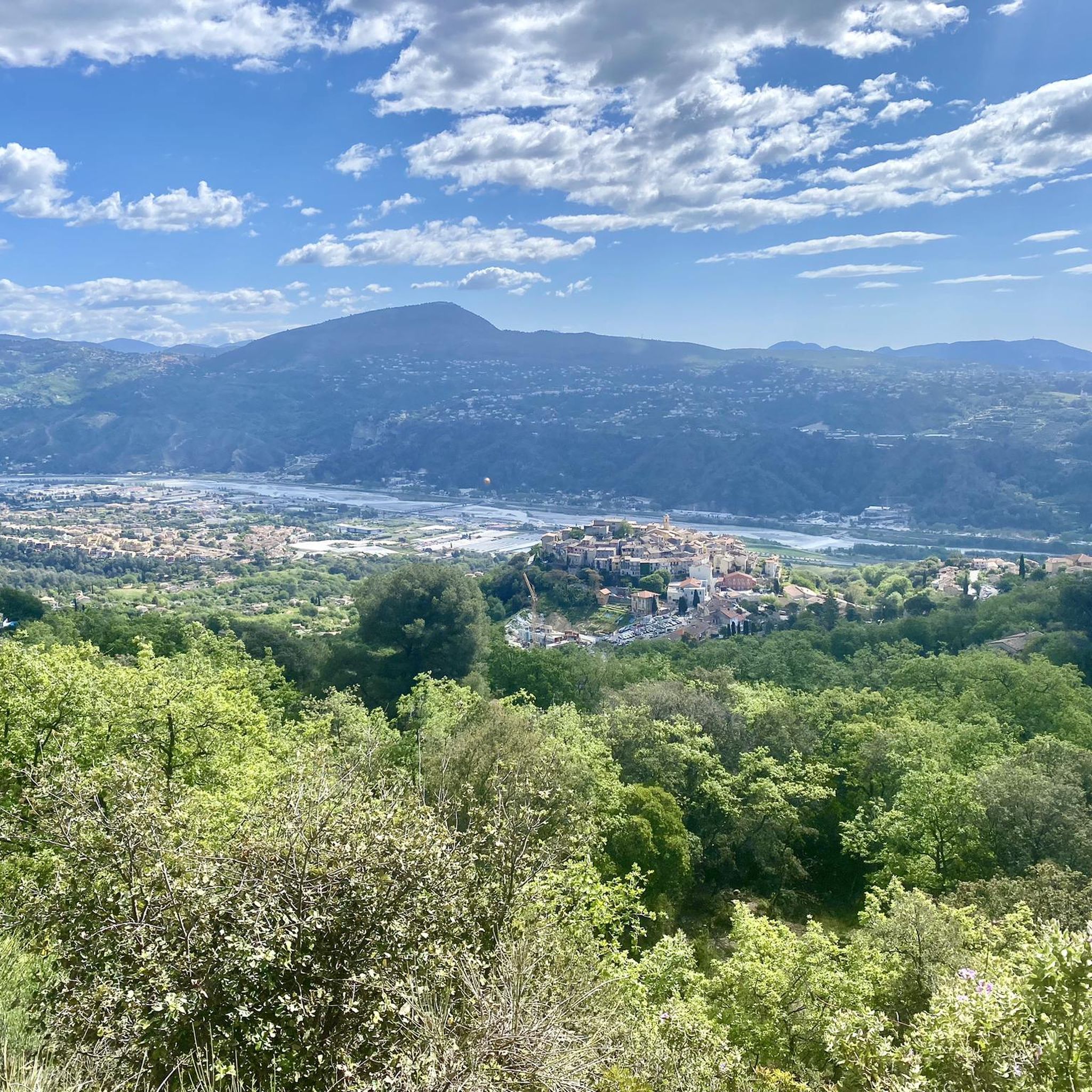
Touring cycling routes around Gattières are set within the scenic Alpes-Maritimes, offering a diverse landscape for cyclists. The region features the foothills of the Préalpes and the Baous mountain range, providing a mountainous backdrop and varied terrain. Routes often overlook the Var river valley, characterized by plains and surrounding hillsides with sloping woodlands and ancient olive groves. This area is part of the Préalpes d'Azur Natural Regional Park, known for its biodiversity and a mix of bucolic valleys and ravines.
Best touring cycling routes around Gattières
- The most popular touring cycling route is Saint Blaise – View of Nice loop from Colomars - La Manda, a 33.5 miles (54.0 km) trail that takes about 3 hours 48 minutes to complete, offering panoramic views towards Nice.
- Another top favourite among local touring cyclists is Tourrettes-sur-Loup – Gourdon loop from Colomars - La Manda, a difficult 68.2 miles (109.8 km) path passing through picturesque villages and varied landscapes.
- Local touring cyclists also love the View of Colle Bertrand – Carros Village loop from La Bédoule, a 32.8 miles (52.7 km) trail leading through local hills and valleys, often completed in about 3 hours 42 minutes.
- Touring cycling around Gattières is defined by the Baous mountain range, the Var river valley, and the Préalpes d'Azur Natural Regional Park. The network offers options for different ability levels, from challenging climbs to more moderate rides.
- The routes in Gattières are highly rated by the komoot community with an average score of 4.6 stars from over 800 reviews. More than 23,000 touring cyclists have used komoot to explore Gattières's varied terrain.
Last updated: July 1, 2026
4.3
(13)
270
riders
54.0km
03:49
1,080m
1,080m
Hard bike ride. Very good fitness required. Mostly paved surfaces. Suitable for all skill levels.
4.4
(5)
283
riders
110km
07:42
2,120m
2,120m
Hard bike ride. Very good fitness required. Mostly paved surfaces. Suitable for all skill levels.

Sign up for free
4.9
(10)
74
riders
62.2km
04:22
950m
950m
Hard bike ride. Very good fitness required. Mostly paved surfaces. Suitable for all skill levels.
4.5
(14)
75
riders
30.1km
02:04
480m
480m
Hard bike ride. Very good fitness required. Mostly paved surfaces. Suitable for all skill levels.
5.0
(3)
55
riders
37.0km
02:29
400m
400m
Moderate bike ride. Good fitness required. Mostly paved surfaces. Suitable for all skill levels.
Get access to more routes and recommendations from other explorers.
Sign up for free
Already have an account?
Our route recommendations are based on thousands of hikes, rides, and runs completed by other people on komoot.
Start today with a free account
Your next adventure awaits.
Login or Signup
Other adventures around Gattières

Tips from the Community

Access to the Village via a long and quiet climb with a super panorama over the Var Valley...
0
0

Beautiful ascent with moderate gradient
0
0
1m passage through the curb to access the Estéron road at its start, which is closed to cars at this point.
1
0
An unexpected place, where the road narrows in the shade, on the road from St Blaise to Levens...
0
0
This trail, unlike the one west of the lake, is much rockier... It can be taken as a continuation of the western trail, going around the lake. But it's more difficult to pick up when returning from the north, especially if the gate is closed...
0
0
An alternative route along the banks of the Var with a little more hilliness... At the crossroads of Aspremont, Pont de la Manda, and Levens...
0
0

A view that is worth it after a good climb
0
0

Frequently Asked Questions
How many touring cycling routes are available around Gattières?
There are over 190 touring cycling routes in the Gattières area, offering a wide range of options for different skill levels and preferences. These routes explore the diverse landscapes from the Var river valley to the foothills of the Préalpes.
What kind of terrain can I expect on touring cycling routes near Gattières?
The terrain around Gattières is quite diverse, ranging from the relatively flat plains of the Var river valley to the more challenging climbs in the foothills of the Baous mountain range and the Préalpes d'Azur Natural Regional Park. You'll encounter sloping woodlands of oak and Aleppo pine, ancient olive groves, and picturesque valleys, with some routes offering dramatic views over dizzying ravines.
Are there touring cycling routes suitable for beginners or those looking for an easier ride?
Yes, Gattières offers options for all fitness levels. While many routes involve significant elevation gain, there are approximately 28 easy routes and 55 moderate routes available. These less strenuous options are often well-paved and suitable for more relaxed cycling experiences through cultivated valleys.
What are some of the natural features or landmarks I can see while cycling around Gattières?
Cycling around Gattières offers views of the dramatic Baous mountain range and the Var river valley. You can also explore parts of the Préalpes d'Azur Natural Regional Park, known for its rich biodiversity. For specific natural attractions, consider routes that pass near the Castle Waterfall or the Vescagne Waterfall. The Vinaigrier Departmental Natural Park is another notable natural monument in the vicinity.
Are there any circular touring cycling routes in the Gattières area?
Yes, many of the touring cycling routes around Gattières are designed as loops, allowing you to start and finish in the same location. Examples include the challenging Tourrettes-sur-Loup – Gourdon loop from Colomars - La Manda, which passes through picturesque villages, or the View of Colle Bertrand – Carros Village loop from La Bédoule, leading through local hills and valleys.
What is the best time of year for touring cycling in Gattières?
Gattières benefits from the Mediterranean climate, making spring and autumn ideal for touring cycling. During these seasons, the weather is typically mild and pleasant, avoiding the intense heat of summer and the cooler, potentially wetter conditions of winter. The landscapes are particularly vibrant in spring with blooming flora.
Are there any family-friendly touring cycling routes around Gattières?
While many routes in the region involve significant climbs, there are easier options suitable for families. Look for routes with less elevation gain, often found in the Var river valley or through the more bucolic, cultivated areas. These routes provide a gentler experience for younger cyclists or those preferring a leisurely pace.
What do other touring cyclists say about the routes in Gattières?
The touring cycling routes in Gattières are highly regarded by the komoot community, holding an average rating of 4.6 stars from over 850 reviews. Cyclists often praise the diverse terrain, the stunning panoramic views, and the opportunity to explore both challenging mountain roads and scenic valley paths.
Where can I find parking facilities for touring cycling routes in Gattières?
Parking is generally available in and around Gattières village, as well as at various starting points for routes in nearby towns like Colomars or La Bédoule. It's advisable to check specific route descriptions for recommended parking areas, especially for longer tours that might start from a designated trailhead or village center.
Can I access touring cycling routes in Gattières using public transport?
Gattières is connected by local bus services, which can be used to reach the village and access nearby routes. For connections from larger cities like Nice, public transport options are available, though you may need to check if bikes are permitted on specific services or during certain times. Planning your journey in advance is recommended.
Are there any specific routes that offer panoramic views of Nice or the coast?
Absolutely. The region's elevated position often provides stunning vistas. A popular route for coastal views is the Saint Blaise – View of Nice loop from Colomars - La Manda, which offers panoramic views towards Nice. Additionally, the View of Nice from Castle Hill is a notable viewpoint accessible from some routes.
Are there cafes or places to stop for refreshments along the touring cycling routes?
Yes, Gattières and the surrounding villages are dotted with charming cafes and local markets where you can stop for refreshments. The medieval streets of Gattières itself offer pleasant spots, and many routes pass through small towns like Tourrettes-sur-Loup or Carros Village, which provide opportunities to refuel and experience local life.
Most popular routes around Gattières
Most popular attractions around Gattières

Get inspired with the komoot mobile app


Explore more
Browse the best Cycling routes in other regions.
