The best gravel rides around Bouillé-Loretz
5.0
(1)
46
riders
3
rides
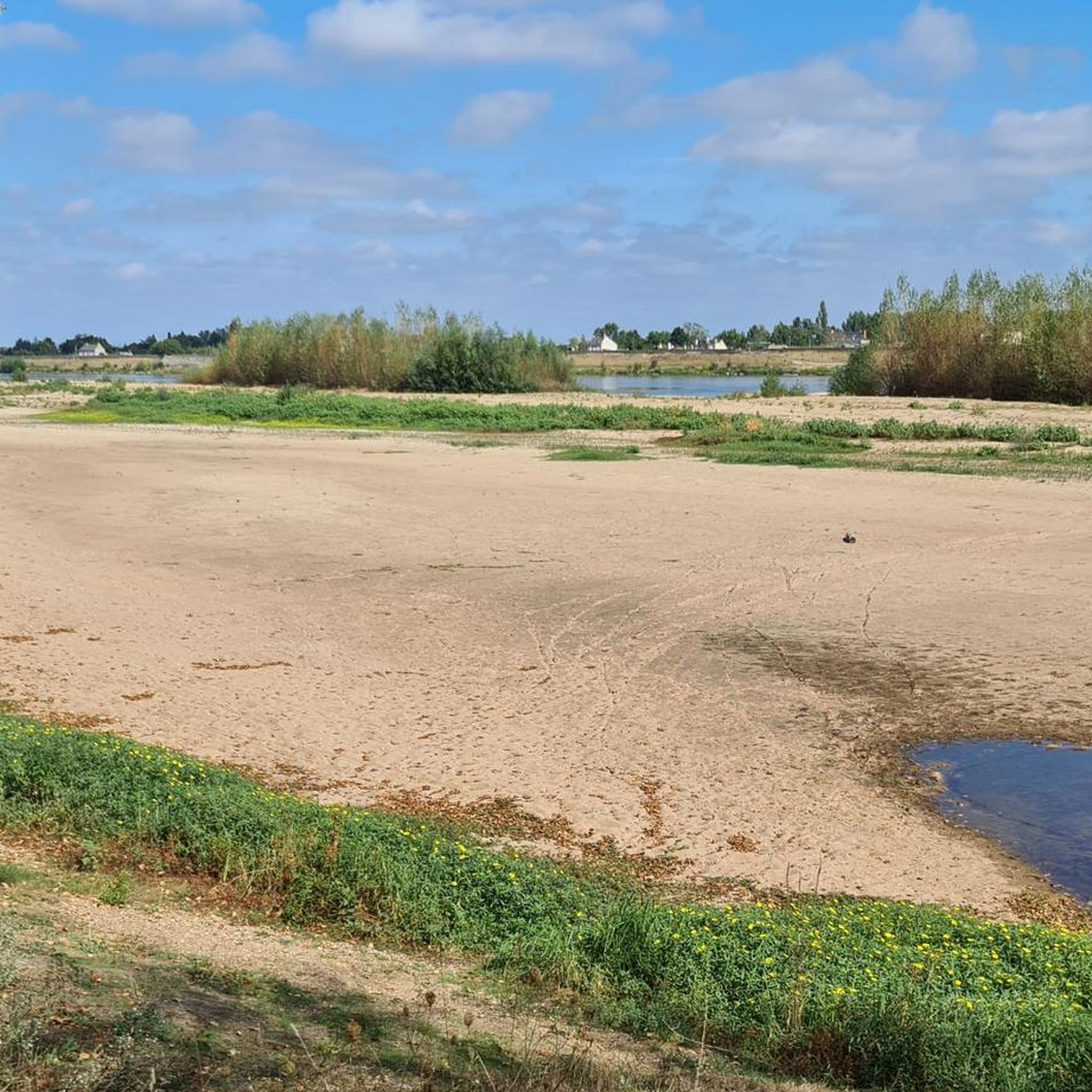
Gravel biking around Bouillé-Loretz offers diverse terrain shaped by its geological makeup and hydrological network. The western part of the commune features metamorphic formations, while the southeastern section includes an alluvial zone rich in gravel, sand, and fine sediments between the Argenton and Thouet river valleys. This composition provides numerous unpaved roads, tracks, and trails suitable for gravel bikes. The landscape is gently rolling, with altitudes ranging from 35m to 86m, offering varied terrain without excessively steep climbs.
Best gravel…
Last updated: July 3, 2026
37
riders
Hard gravel ride. Very good fitness required. You may need to push your bike for some segments of this route.
35
riders
Hard gravel ride. Very good fitness required. Mostly paved surfaces. Suitable for all skill levels.

Sign up for free
3
riders
20.4km
01:27
90m
90m
Easy gravel ride. Great for any fitness level. Mostly paved surfaces. Suitable for all skill levels.
5.0
(1)
6
riders
142km
08:59
1,070m
1,070m
Hard gravel ride. Very good fitness required. Mostly paved surfaces. Suitable for all skill levels.
4.0
(1)
6
riders
65.2km
04:03
330m
330m
Moderate gravel ride. Good fitness required. Mostly paved surfaces. Suitable for all skill levels.
Our route recommendations are based on thousands of hikes, rides, and runs completed by other people on komoot.
Start today with a free account
Your next adventure awaits.
Login or Signup



Tips from the Community

The Church of Saint-Généroux is a site well worth a visit during a hike. It dates back to the 10th century and is considered one of the oldest churches in France, as it features pre-Romanesque architecture found nowhere else. The church is located on the banks of the Thouet River. You can also admire the Romanesque bridge (13th century).
0
0
Things to See & Do Ramparts: With approximately 30 semicircular towers, the granite walls symbolize medieval urban robustness. Ruined Castle: All that remains of the castle is a round tower (perhaps the keep) and sections of walls restored since the 1980s. Panoramic Walk: The rampart path offers splendid views of the Thouet Valley and the Saint-Paul district.
1
0
History & Architecture Medieval Construction: Built in the early 13th century under the aegis of John Lackland, the citadel rests on a natural promontory reinforced by three defensive walls, towers, and ramparts. Castle and Bastion: Its original, isolated castle included towers such as the Powder Tower and the Harcourt Tower. In the 15th century, Arthur de Richemont added the bastille and an artillery boulevard. Citadel Gate (or Clock Gate): The gatehouse is flanked by two almond-shaped towers and topped with a clock tower. A granite staircase provides access to the guardroom and the patrol path.
1
0
The citadel of Parthenay, nicknamed the "little Carcassonne of the West", is one of the city's heritage jewels, perched on a rocky spur overlooking the bend of the Thouet River.
1
0

Dating from the 13th century, at the foot of the city ramparts, this bridge ultimately offers the best view of the Château de Thouars.
0
0

This bridge allows you to cross the Thouet and reach Saint Jacques De Thouars. The view there is magnificent! There is a good hill to climb after the bridge, be careful when choosing the pinion!
1
0

Without the characteristic wings - which used to capture the power of the wind to set the heavy millstones in motion - the once proud windmill, which was certainly impressive at the time, is missing an essential architectural element. From a distance, the observer can see its modern successors: within sight of the former windmill, the slender towers and turbine blades of a modern wind farm, which is used to generate electricity, rise into the sky.
2
0
In the proverbial "good old days" of centuries past, this (former) windmill, standing in a very prominent position in the vast landscape, must have made a deep impression on the viewer. However, this changed a long time ago: the no longer intact tower stump is missing the wings, precisely those elements that were once so fundamental to the appearance of those four-armed giants (at least that is what the character "Don Quixote" invented by Miguel Cervantes thinks in one of the famous Spanish author's bizarre stories).
3
0
Frequently Asked Questions
What kind of terrain can I expect on gravel bike trails around Bouillé-Loretz?
The region offers diverse gravel terrain, particularly in the southeastern alluvial zone rich in gravel, sand, and fine sediments between the Argenton and Thouet river valleys. You'll find a mix of unpaved roads, forest tracks, and farm roads. The landscape is gently rolling, with altitudes ranging from 35m to 86m, providing varied terrain without excessively steep climbs.
Are there gravel routes suitable for beginners or families in Bouillé-Loretz?
Yes, there are routes suitable for various skill levels. For an easier option, consider the L – La mauzeenne loop from Mauzé-Thouarsais, which is 20.4 km long with minimal elevation gain, making it a good choice for those looking for a less strenuous ride.
Are there challenging gravel routes for experienced riders?
Absolutely. For experienced riders seeking a challenge, the area offers several difficult routes. The Gourgé bridge – Pont des Chouans on the Thouet loop from Mauzé-Thouarsais is a demanding 142.1 km trail with over 1000 meters of elevation gain, providing a significant test of endurance.
Are there any circular gravel routes in Bouillé-Loretz?
Many of the gravel routes in Bouillé-Loretz are designed as loops, allowing you to start and finish in the same location. For example, the popular Ballastière Pond – Saint-Médard Church of Thouars loop from Mauzé-Thouarsais is a 91.5 km circular trail that traverses river valleys and varied gravel surfaces.
What are the typical distances and durations for gravel rides in this area?
Gravel rides in Bouillé-Loretz vary significantly in length and duration. You can find shorter loops like the 20.4 km "L – La mauzeenne loop" taking around 1 hour 40 minutes, up to longer, more challenging routes such as the 142.1 km "Gourgé bridge – Pont des Chouans on the Thouet loop" which can take over 10 hours to complete.
What historical landmarks or cultural sites can I visit along the gravel routes?
The region is rich in history. You can incorporate visits to sites like the 13th-century Saint-Pierre-ès-Liens Church, the Château de Ferrières, or the "moulin des Roches" (mill of the rocks). The area also has a strong viticultural tradition, with routes often winding through vineyards. Nearby, you can explore the impressive Montreuil-Bellay Castle or the Abbaye d'Asnières.
Are there any scenic viewpoints or natural attractions to discover?
Yes, the river valleys of the Argenton and Thouet offer picturesque paths and scenic views. The Ballastière Pond is a notable natural attraction, and the nearby Brignon forest provides opportunities for immersive rides through natural woodlands. Many routes follow these waterways, ensuring beautiful landscapes.
When is the best time of year for gravel biking in Bouillé-Loretz?
The oceanic climate of Deux-Sèvres generally provides mild conditions, extending the cycling season. Spring and autumn are often ideal, offering pleasant temperatures and vibrant scenery. Summers can be warm, while winters are typically mild but may bring wetter conditions.
What gear is recommended for gravel biking in Bouillé-Loretz?
Given the varied terrain, including unpaved roads, forest tracks, and potentially loose gravel, a dedicated gravel bike with appropriate tire width (e.g., 38-45mm) and tread pattern is highly recommended. Essential gear includes a helmet, repair kit, sufficient water, and navigation tools. Layered clothing is advisable due to changing conditions.
Is there parking available near the gravel bike trails?
While specific parking locations vary by route, many trails around Bouillé-Loretz, particularly those starting from larger towns like Mauzé-Thouarsais, offer designated parking areas. It's always advisable to check the starting point details of your chosen route on komoot for precise parking information.
What do other gravel bikers enjoy most about gravel biking in Bouillé-Loretz?
The area is highly rated by the komoot community, with an average score of 4.7 stars from over 4 reviews. Reviewers often praise the diverse terrain, the scenic river valleys, and the opportunity to explore both natural beauty and historical sites. The mix of surfaces and the gently rolling landscape are frequently highlighted as enjoyable aspects.
Can I combine gravel biking with wine tasting in Bouillé-Loretz?
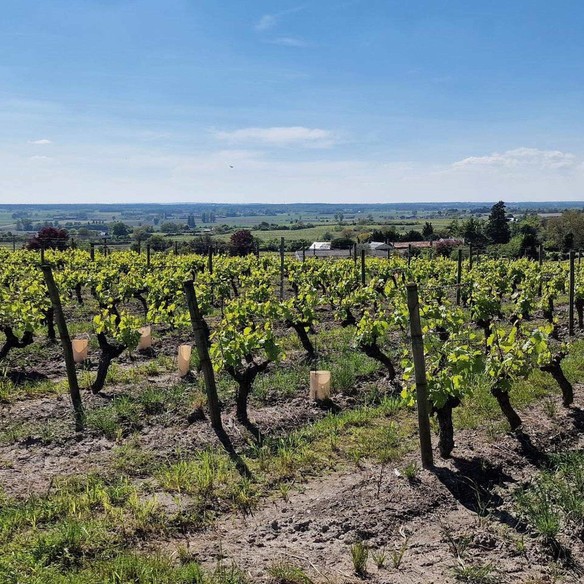
Yes, the region has a strong viticultural tradition, highlighted by the presence of a "Musée des métiers du vigneron, Maison des Vins." Many gravel routes wind through vineyards, offering opportunities for scenic rides and potentially engaging with local producers. The Saumur Wine Route is also nearby, providing further exploration options.
Most popular routes around Bouillé-Loretz
Most popular attractions around Bouillé-Loretz

Get inspired with the komoot mobile app


Explore more
Browse the best Gravel rides in other regions.
