The best gravel rides around Lompnas
4.5
(4)
41
riders
7
rides
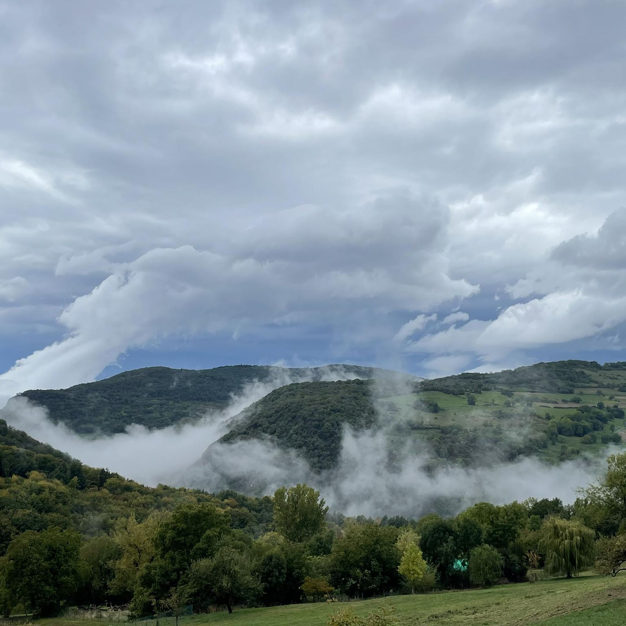
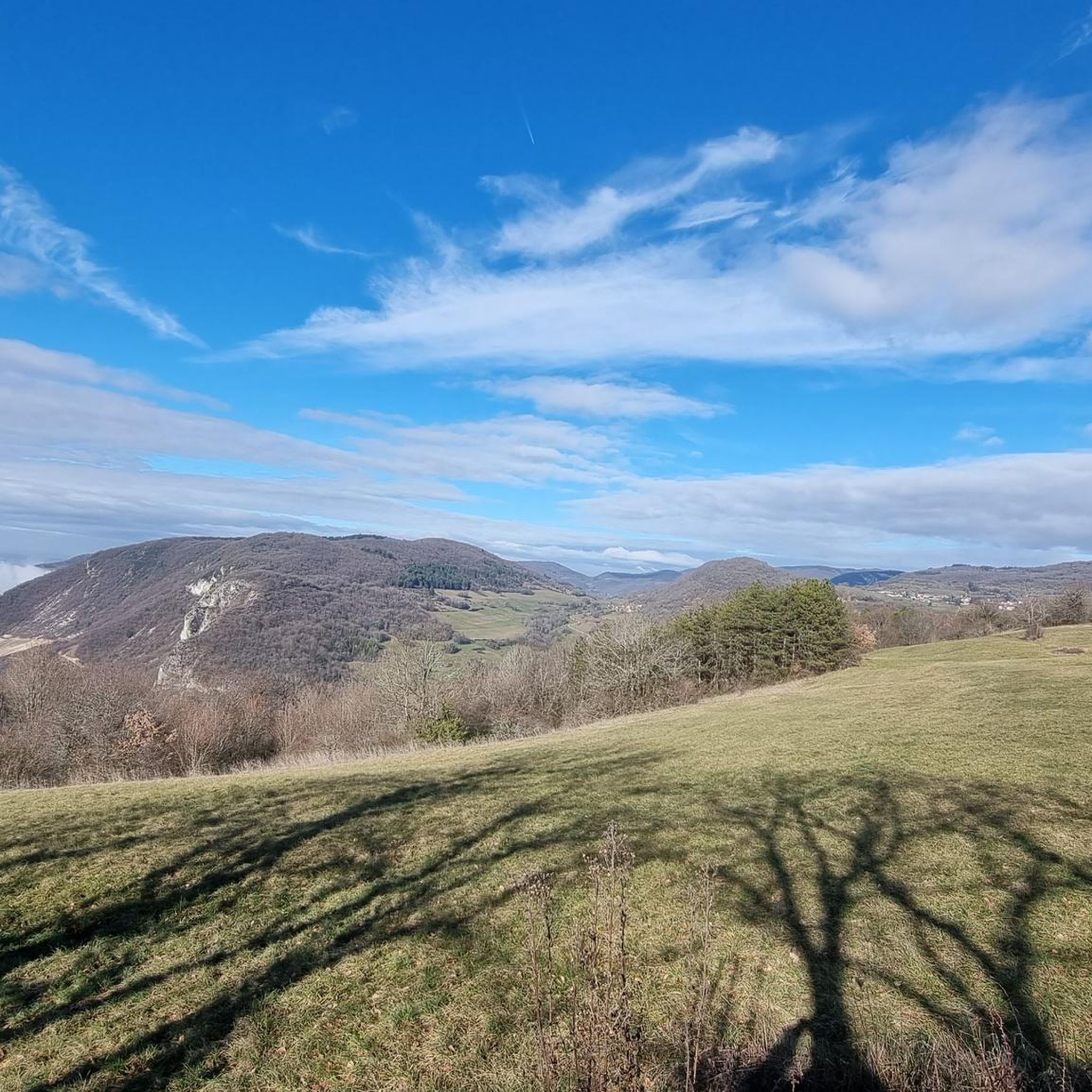
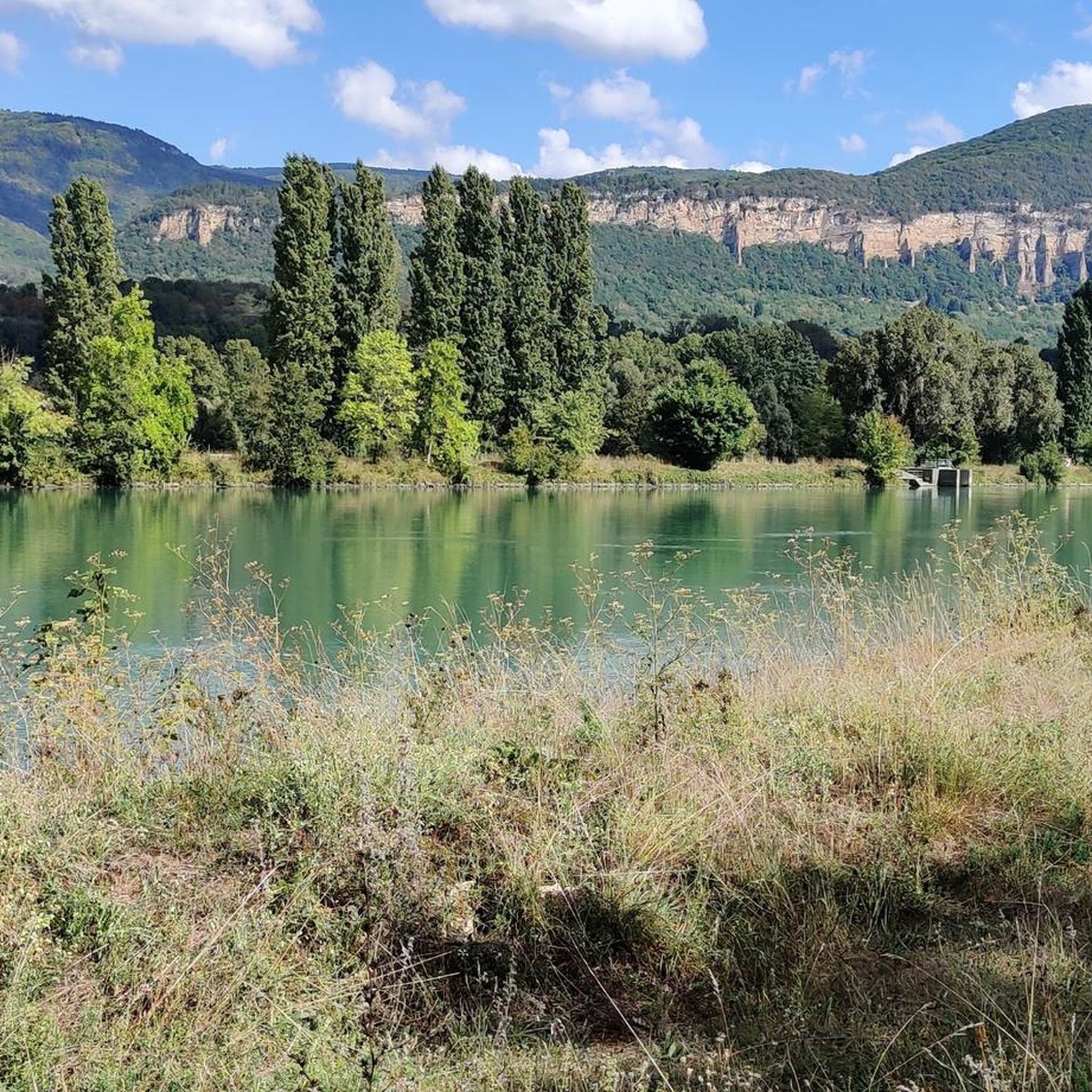
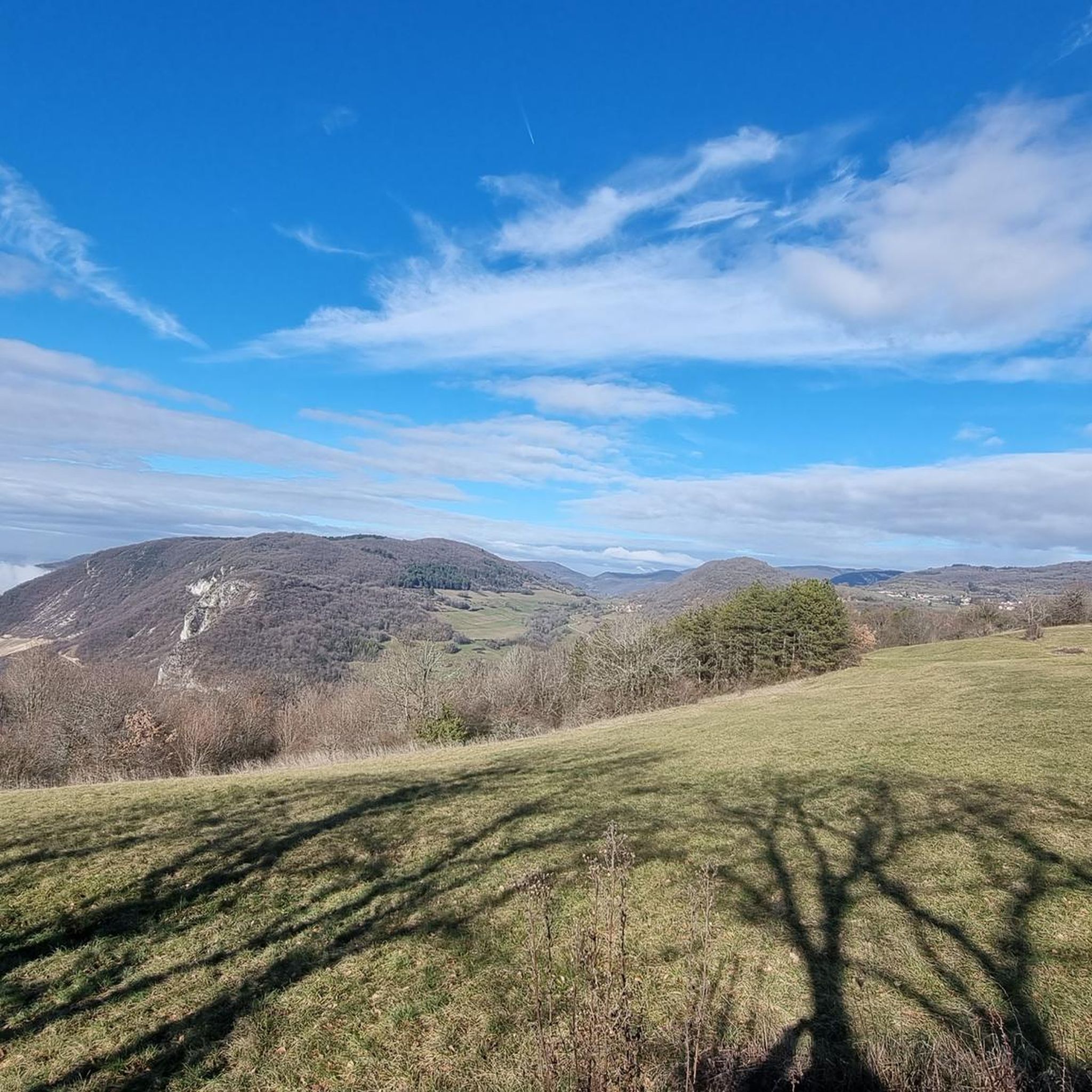
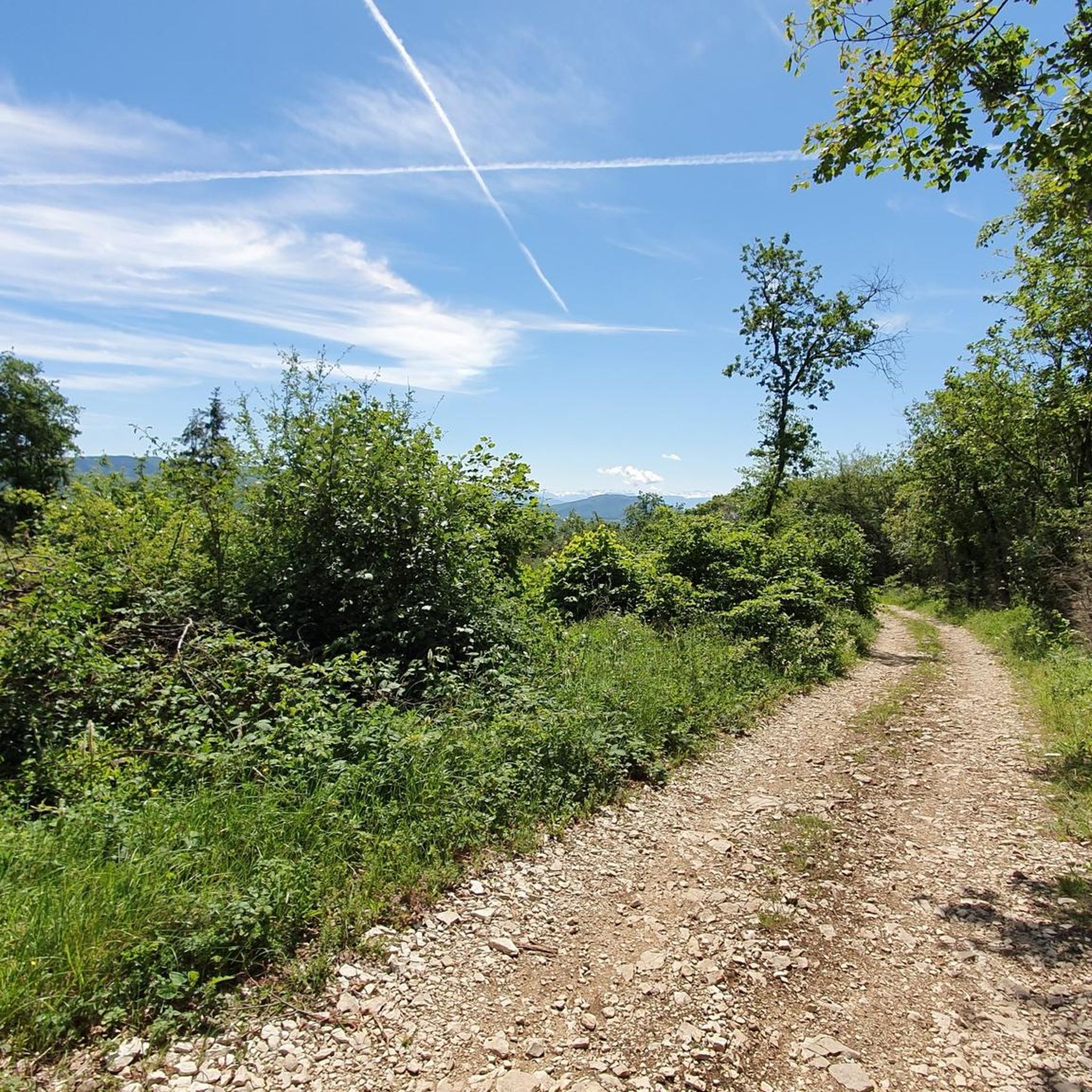
Gravel biking around Lompnas offers routes through the Rhône river valley, characterized by varied terrain suitable for off-road cycling. The region features a mix of riverside paths, wooded hills, and ascents to viewpoints, providing diverse landscapes for gravel riders. Situated in the Bugey region, Lompnas includes areas with vineyards and the Molard de Don massif, offering both paved and unpaved sections. These routes traverse natural riverine environments and agricultural areas, with options for different ability levels.
Best gravel bike trails…
Last updated: October 18, 2026
5
riders
48.3km
02:48
450m
440m
Moderate gravel ride. Good fitness required. Mostly paved surfaces. Suitable for all skill levels.
6
riders
53.7km
03:42
1,000m
1,000m
Hard gravel ride. Very good fitness required. Mostly paved surfaces. Suitable for all skill levels.

4
riders
103km
06:30
1,290m
1,290m
Hard gravel ride. Very good fitness required. Mostly paved surfaces. Suitable for all skill levels.
5.0
(1)
8
riders
61.6km
03:37
490m
490m
Hard gravel ride. Very good fitness required. Mostly paved surfaces. Suitable for all skill levels.
5.0
(1)
5
riders
53.7km
03:16
420m
420m
Moderate gravel ride. Good fitness required. Mostly paved surfaces. Suitable for all skill levels.
Get access to more routes and recommendations from other explorers.
Already have an account?
Our route recommendations are based on thousands of hikes, rides, and runs completed by other people on komoot.
Start today with a free account
Your next adventure awaits.
Tips from the Community

The Voie verte des Balcons du Dauphiné is a 18-kilometer-long secure cycle and pedestrian path, built on the route of the former Est Lyonnais railway line. It connects the medieval town of Crémieu to the municipality of Arandon-Passins, where it connects directly to the ViaRhôna.
0
0
The Sault-Brénaz dam (also called Villebois dam or Sault-Brénaz facility) is an important hydroelectric infrastructure located on the Rhône River. It is situated on the border between the departments of Ain and Isère, mainly near the communes of Sault-Brénaz and Villebois. Commissioned in 1986, this structure was the last major facility built by the Compagnie Nationale du Rhône (CNR) on the upper Rhône.
0
0
The Sault-Brénaz dam (also called Villebois dam or Sault-Brénaz facility) is an important hydroelectric infrastructure located on the Rhône River. It lies on the border between the departments of Ain and Isère, mainly near the communes of Sault-Brénaz and Villebois. Commissioned in 1986, this structure was the last major development built by the Compagnie Nationale du Rhône (CNR) on the upper Rhône.
0
0
The area is located on the border between the departments of Isère and Ain, right next to the Pont d’Évieu. A specific ViaRhôna link allows you to reach the center of the commune of Les Avenières directly from this point via small country roads.
0
0

Very straight cycle path with a very beautiful view in the middle of nature
0
0

Leisure base opposite Bas Bugey. A pleasant stop, but strangely located between 2 nuclear power plants...
0
0
Beautiful cycle path, mostly shaded, unpaved but rideable (I ride it with 23mm tires), which follows the old line of the Chemin de Fer de l'Est Lyonnais (CFEL)
0
0
Frequently Asked Questions
What is the general difficulty level of gravel biking in Lompnas?
Lompnas offers a range of gravel biking experiences. The majority of routes, 13 out of 17, are classified as difficult, providing a challenge for experienced riders. There are also 4 moderate routes available for those seeking a less strenuous ride.
Are there any beginner-friendly gravel bike trails around Lompnas?
While most routes in Lompnas are challenging, you can find moderate options suitable for those with some experience. For example, the Via Rhona – Blue Valley loop from Creys-Mépieu is a moderate 45.1 km route that offers a good introduction to the region's gravel terrain.
What kind of distances can I expect on gravel bike trails in Lompnas?
Gravel bike trails in Lompnas typically range from moderate to longer distances. For instance, the View of the Saut du Rhône – View of Vertrieu castle loop from Porcieu - Pont de Sault-Brénaz is a moderate 68 km ride, while the more difficult View of Vertrieu castle – View of the Saut du Rhône loop from Bouvesse-Quirieu extends to 79 km.
Are there any circular gravel bike routes in Lompnas?
Yes, many of the gravel bike routes in Lompnas are designed as loops, allowing you to start and end at the same point. Examples include the View of the Saut du Rhône – View of Vertrieu castle loop from Bouvesse and the Via Rhona – Blue Valley loop from Creys-Mépieu.
What are some notable landmarks or attractions I might see along the gravel bike trails?
Many routes offer scenic views of the Rhône river and historical sites. You can expect to see the View of the Saut du Rhône and the impressive Vertrieu castle. Other nearby attractions include the Brive Waterfall and the serene Lac d'Ambléon.
What do other gravel bikers enjoy most about the Lompnas trails?
The area is highly rated by the komoot community, with an average score of 4.5 stars. Reviewers often praise the varied terrain, the scenic views of the Rhône river, and the historical landmarks like Vertrieu castle that are integrated into the routes.
Is Lompnas a good destination for advanced gravel bikers?
Absolutely. With 13 out of 17 routes classified as difficult, Lompnas offers plenty of challenging options for advanced gravel bikers. These routes often feature longer distances and more significant elevation changes, such as the 79 km View of Vertrieu castle – View of the Saut du Rhône loop from Bouvesse-Quirieu.
Are there any hidden gem gravel bike routes in Lompnas?
While specific 'hidden gems' are often discovered by local exploration, routes that venture slightly off the most popular paths, such as those exploring the agricultural areas away from the immediate riverside, can offer a quieter experience. The region's 17 routes provide ample opportunity to find your own favorite less-traveled paths.
What is the best time of year for gravel biking in Lompnas?
The Rhône river valley climate generally makes spring and autumn ideal for gravel biking in Lompnas, offering pleasant temperatures and vibrant scenery. Summers can be warm, while winters might bring cooler, potentially wetter conditions, though routes remain accessible.
Are there options for parking near the gravel bike trails in Lompnas?
Many of the gravel bike routes in Lompnas, especially those designed as loops, typically have starting points in or near villages like Porcieu - Pont de Sault-Brénaz, Bouvesse-Quirieu, or Creys-Mépieu, where public parking is generally available. It's advisable to check specific route details on komoot for precise parking information at your chosen trailhead.
Can I find cafes or places to refuel along the gravel bike routes in Lompnas?
The routes in Lompnas often pass through or near small towns and villages in the Rhône river valley. While specific cafes aren't listed for every route, these settlements typically offer opportunities to refuel with food and drinks. Planning your route with komoot allows you to identify potential stops along the way.
Most popular attractions around Lompnas

Get inspired with the komoot mobile app


Explore more
Browse the best Gravel rides in other regions.
