The best gravel rides around Peisey-Nancroix
4.5
(18)
162
riders
26
rides
Gravel biking around Peisey-Nancroix offers diverse terrain within the French Alps, bordering the Vanoise National Park. The region features versatile gravel paths, mountain trails, and lush valleys, set against a backdrop of alpine landscapes. Riders can expect a mix of challenging ascents and scenic routes through forests and along rivers. The area's topography includes impressive mountain peaks and passes, providing varied experiences for gravel bikers.
Best gravel bike trails around Peisey-Nancroix
- The most popular gravel bike trail is View of…
Last updated: August 26, 2026
4.5
(2)
26
riders
43.1km
03:21
990m
990m
Hard gravel ride. Very good fitness required. Mostly paved surfaces. Suitable for all skill levels.
4.3
(3)
19
riders
45.1km
04:43
1,880m
1,880m
Hard gravel ride. Very good fitness required. Mostly paved surfaces. Suitable for all skill levels.

Sign up for free
29
riders
63.1km
04:41
1,750m
1,750m
Hard gravel ride. Very good fitness required. Mostly paved surfaces. Suitable for all skill levels.
4.7
(3)
31
riders
42.3km
03:41
1,620m
1,620m
Hard gravel ride. Very good fitness required. Mostly paved surfaces. Suitable for all skill levels.
4.5
(2)
11
riders
41.8km
04:12
1,560m
1,560m
Hard gravel ride. Very good fitness required. Mostly paved surfaces. Suitable for all skill levels.
Get access to more routes and recommendations from other explorers.
Sign up for free
Already have an account?
Our route recommendations are based on thousands of hikes, rides, and runs completed by other people on komoot.
Start today with a free account
Your next adventure awaits.
Login or Signup
Popular around Peisey-Nancroix
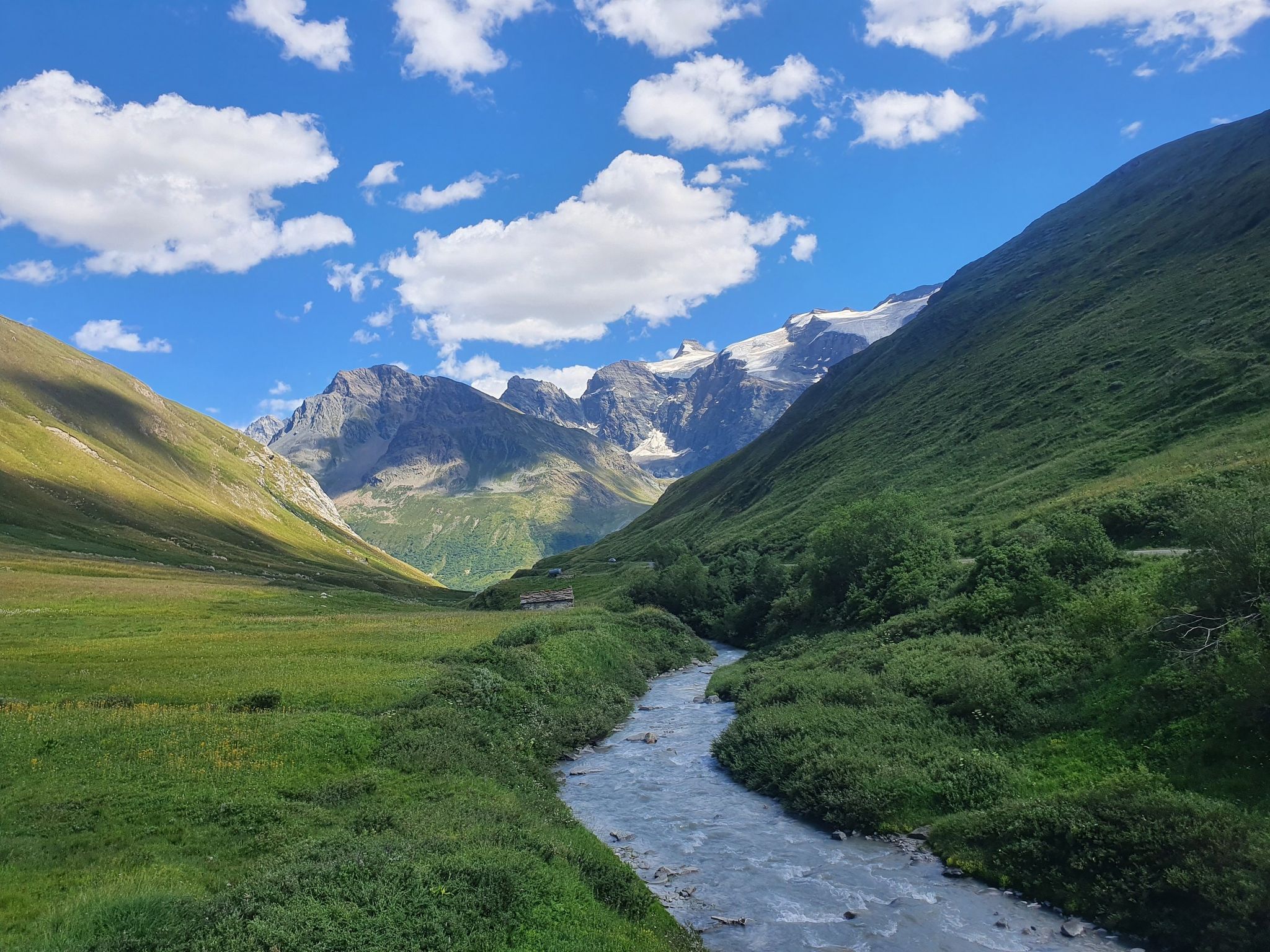
Europe Trail (GR 5) – Hike from Briançon to Landry
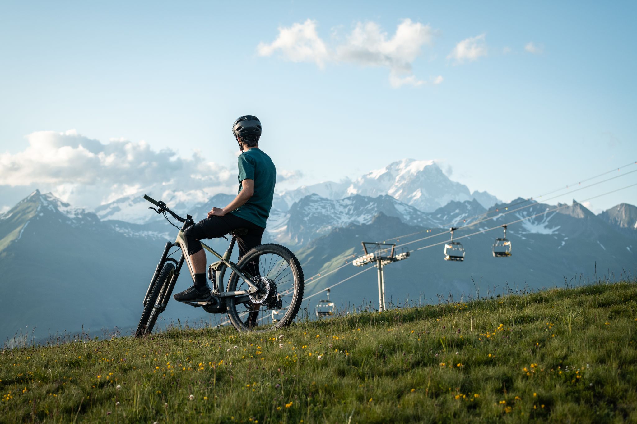
MTB routes around Bourg Saint Maurice – Les Arcs

Hike from Savoie to Vanoise – Hexatrek in France’s Northern Alps
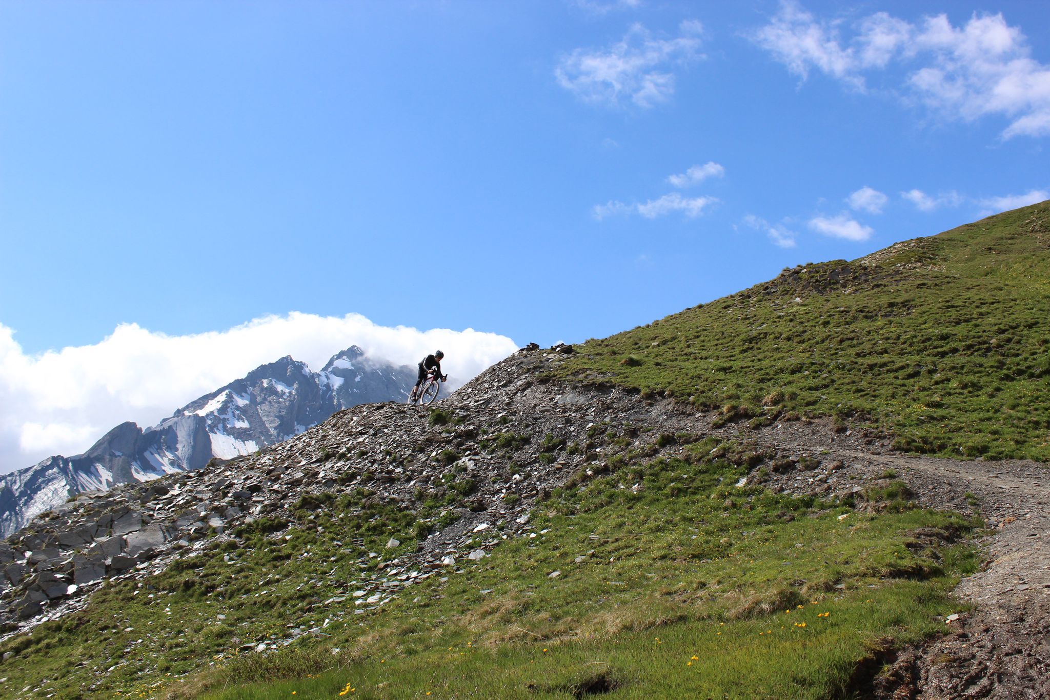
Spectacular Alpine gravel roads of the Tarentaise Valley
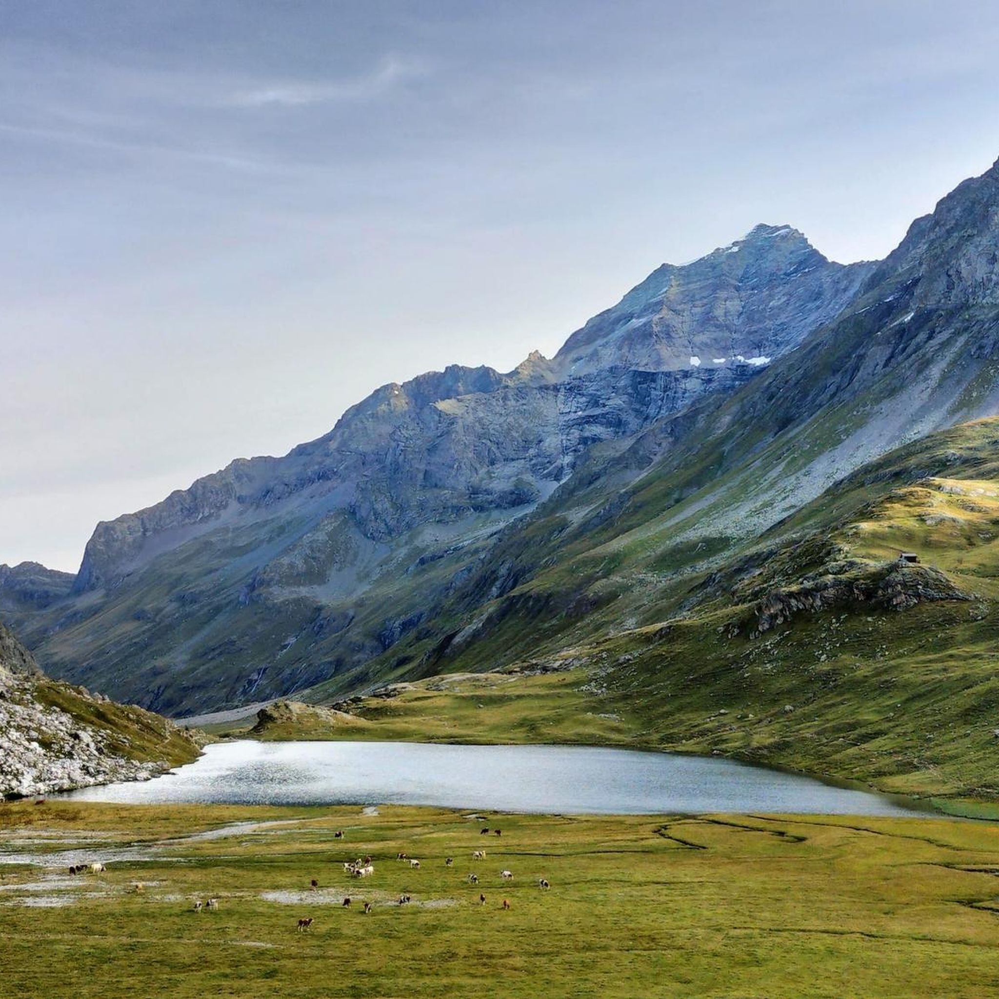
Hiking around Peisey-Nancroix
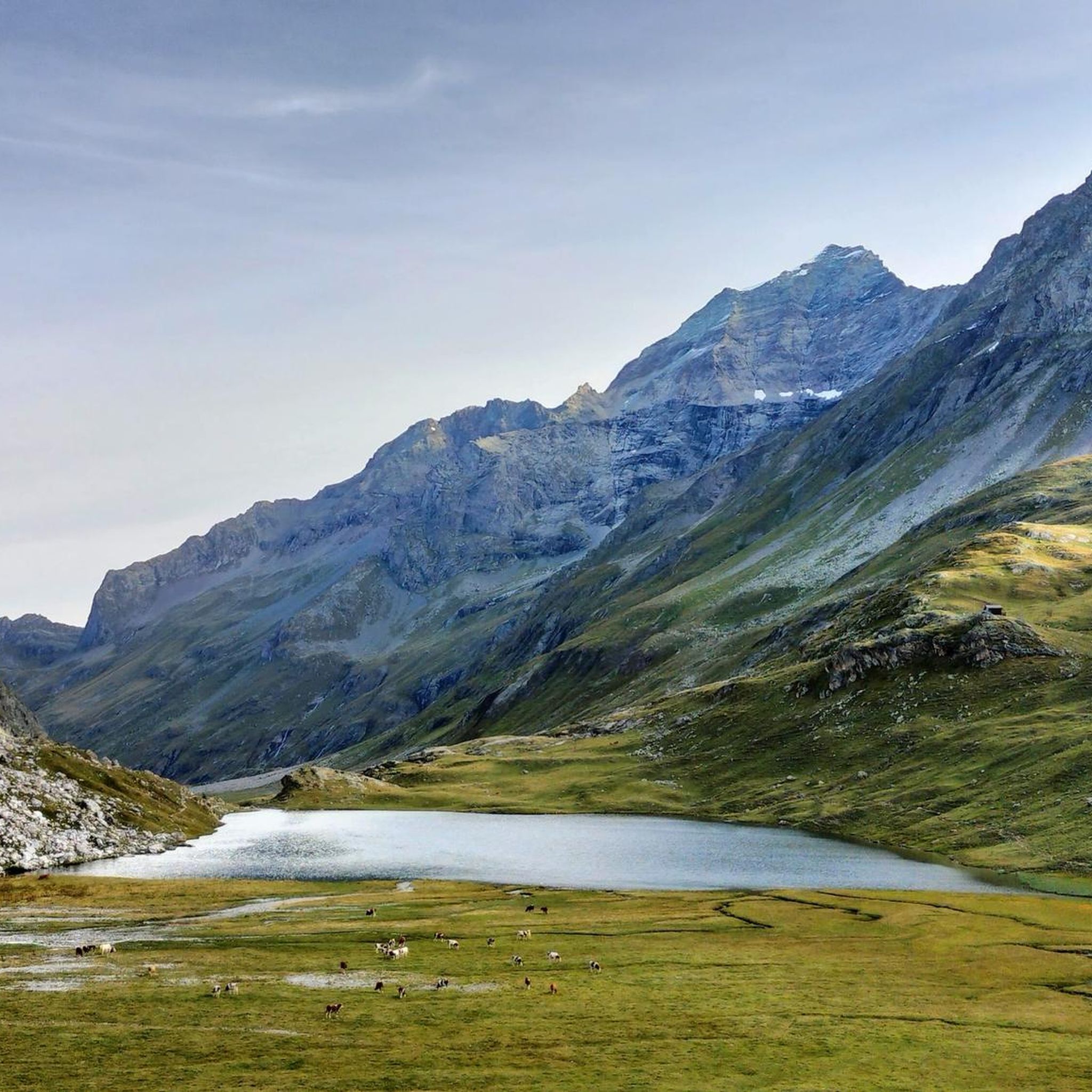
MTB Trails around Peisey-Nancroix
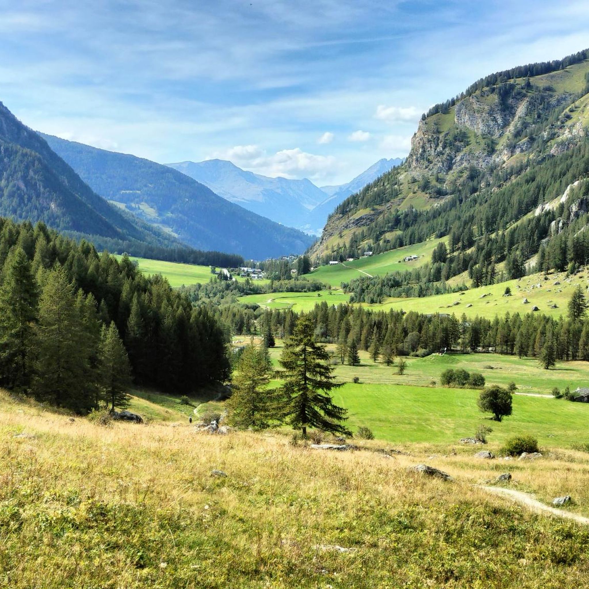
Cycling around Peisey-Nancroix
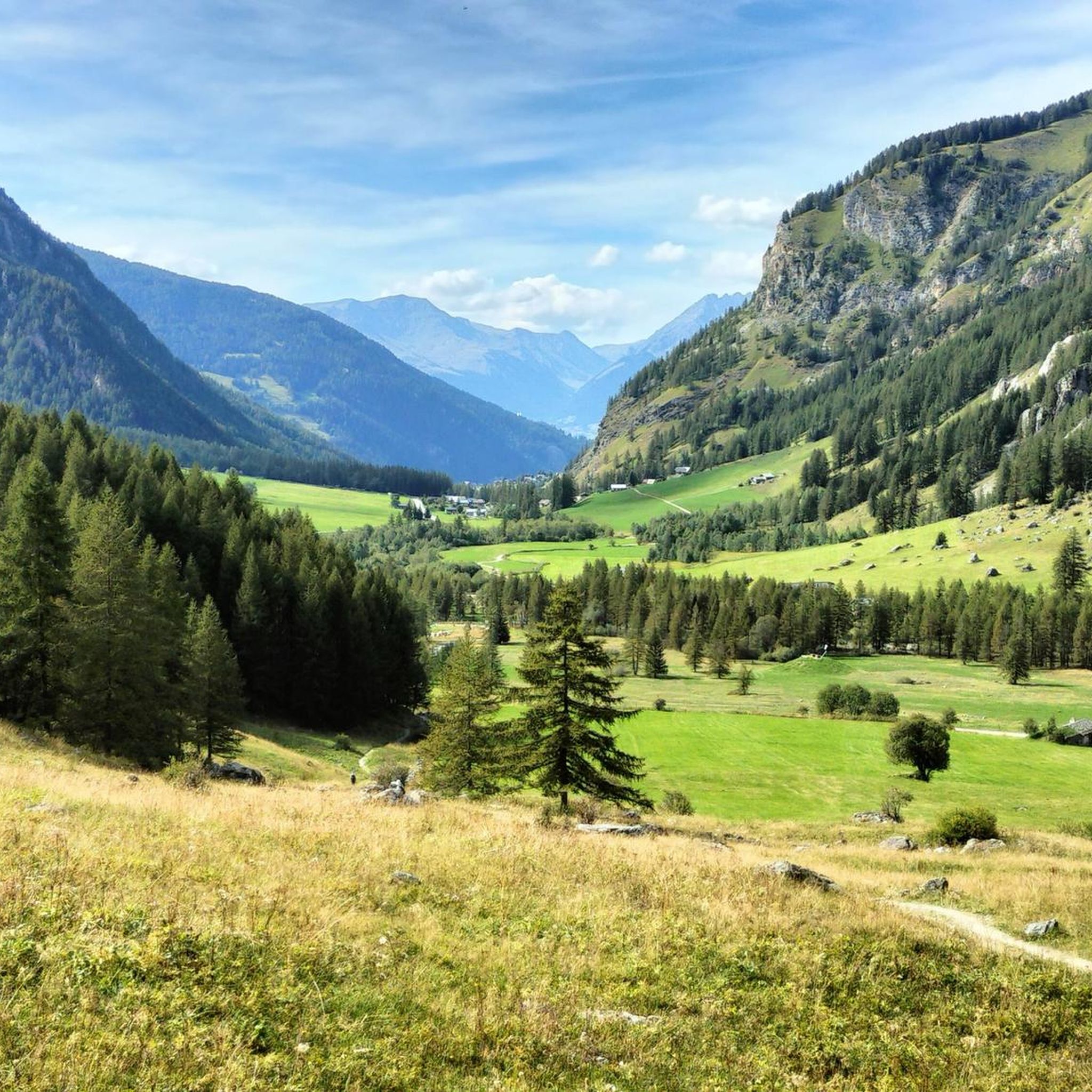
Road Cycling Routes around Peisey-Nancroix
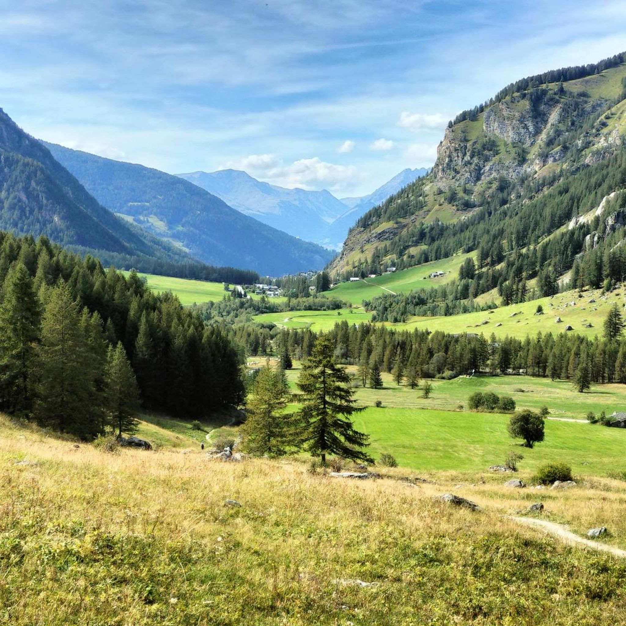
Running Trails around Peisey-Nancroix

Mountain Hikes around Peisey-Nancroix
Other adventures around Peisey-Nancroix


Tips from the Community

A beautiful cycle path along the river Isere
0
0

Cycle path in perfect condition.
0
0
This section is beautiful. If done downhill, you have to consider that the surface is not the best.
0
0
It allows you to go from Bourg Saint-Maurice to Moutiers away from the road except for two points.
0
0

By bike and cable car to Src1600
2
0
Beautiful place of Beaufort cheese, even with a restaurant.
2
0
Frequently Asked Questions
How many gravel bike trails are available around Peisey-Nancroix?
There are over 25 gravel bike trails around Peisey-Nancroix, offering a diverse range of experiences. You'll find 4 moderate routes and more than 20 challenging options, catering to various skill levels.
What kind of terrain can I expect on the gravel bike trails in Peisey-Nancroix?
The terrain around Peisey-Nancroix is highly varied, featuring versatile gravel paths, mountain trails, and lush valleys. You'll ride through alpine landscapes, forests, and along rivers, with options for both challenging ascents and scenic, less strenuous sections.
Are there any circular gravel bike routes in the area?
Yes, many of the gravel bike routes around Peisey-Nancroix are designed as loops. For example, you could try the challenging View of Les Arcs Landscape – Arc 1950 Mountaineer's Refuge loop from Arc 1800, which offers varied mountain terrain, or the The Isère – Isère Cycle Path loop from Valezan for a ride through the valley.
What natural attractions or viewpoints can I discover along the gravel routes?
Peisey-Nancroix is rich in natural beauty. Along the trails, you might encounter stunning lakes like Lake of the Cows or View of Lake Garattaleu. There are also impressive viewpoints such as Chapelle Notre-Dame des Vernettes, offering panoramic views of the valley, and the dramatic Gorges de Ballandaz.
What do other gravel bikers say about the trails in Peisey-Nancroix?
The gravel biking routes in Peisey-Nancroix are highly rated by the komoot community, with an average score of 4.6 stars from over 20 reviews. Riders often praise the diverse terrain, the stunning alpine scenery, and the challenging yet rewarding ascents.
Are there any moderate gravel bike trails suitable for less experienced riders or active families?
While many routes are challenging, there are 4 moderate gravel bike trails available. These can be a good starting point for less experienced riders or active families looking for a less intense but still scenic experience. An example is the Les Arcs funicular – the Isère loop from Landry, which offers a more accessible ride.
Can I bring my dog on the gravel bike trails in Peisey-Nancroix?
Peisey-Nancroix borders the Vanoise National Park, which has specific regulations regarding dogs, often requiring them to be on a leash or restricting access in certain areas to protect wildlife. It's advisable to check the current rules for the specific trail you plan to ride, especially within the National Park boundaries.
What is the best time of year for gravel biking in Peisey-Nancroix?
The best time for gravel biking in Peisey-Nancroix is typically from late spring to early autumn (May to October). During these months, the weather is generally favorable, and the trails are clear of snow, allowing access to the higher alpine routes and enjoying the lush valleys.
Are there options for bike rental in Peisey-Nancroix?
Yes, bike and e-bike rentals are available locally in Peisey-Nancroix. This makes it convenient for visitors who don't bring their own equipment to explore the region's diverse gravel paths and mountain trails.
Where can I find parking for gravel biking trails in Peisey-Nancroix?
Parking is generally available at various starting points for trails around Peisey-Nancroix. Specific parking information can often be found on individual route pages or local tourism resources. For instance, routes starting from areas like Les Lanches or Arc 1800 typically have designated parking facilities.
What are some of the more challenging gravel bike routes in the area?
For experienced riders seeking a challenge, Peisey-Nancroix offers several difficult routes. The Towards Cormet de Roselend – Serpentine Route loop from Les Lanches is a demanding 71.4 km trail with extensive climbs and panoramic views. Another challenging option is the Gravel toward Nancroix – Start of Whitelines MTB Trail loop from Bellentre, featuring significant elevation gain.
Most popular routes around Peisey-Nancroix
Most popular attractions around Peisey-Nancroix

Get inspired with the komoot mobile app


Explore more
Browse the best Gravel rides in other regions.
