The best road cycling routes around Peisey-Nancroix
4.4
(715)
32,655
riders
124
rides
Road cycling routes around Peisey-Nancroix traverse a mountainous landscape characterized by significant elevation changes and alpine valleys. The region features challenging climbs towards high mountain passes like the Iseran Pass and Col du Pré, alongside routes that follow river paths such as the Isère. Terrain often includes winding roads and offers views of natural features like the Tignes dam, providing a diverse environment for road cyclists.
Best road cycling routes around Peisey-Nancroix
- The most popular road cycling route is View of the Tignes dam – Iseran Pass loop from Grande Motte (Perce-Neige), an 86.8 miles (139.6 km) trail that takes 8 hours 21 minutes to complete. This difficult route features substantial climbing towards a high mountain pass.
- Another top favourite among local road cyclists is View of the Tignes dam – Isère Cycle Path loop from Grande Motte (Perce-Neige), a difficult 69.5 miles (111.8 km) path. This route combines views of the Tignes dam with sections along the Isère Cycle Path.
- Local road cyclists also love the Serpentine Route – Vers le col du Pré loop from Landry, a 61.6 miles (99.2 km) trail leading through serpentine roads and towards the Col du Pré, often completed in about 6 hours 14 minutes.
- Road cycling around Peisey-Nancroix is defined by high mountain passes, river valleys, and challenging ascents. The network offers options for various ability levels, from moderate to advanced road bike climbs.
- The routes in Peisey-Nancroix are highly rated by the komoot community with an average score of 4.4 stars from over 590 reviews. More than 33,000 road cyclists have used komoot to explore Peisey-Nancroix's varied terrain.
Last updated: August 25, 2026
4.1
(7)
434
riders
49.4km
03:07
1,420m
1,420m
Hard road ride. Very good fitness required. Mostly well-paved surfaces and easy to ride.
5.0
(1)
79
riders
16.2km
00:43
150m
150m
Easy road ride. Great for any fitness level. Mostly well-paved surfaces and easy to ride.

Sign up for free
5.0
(6)
68
riders
16.3km
01:01
450m
450m
Moderate road ride. Good fitness required. Some segments of this route may be unpaved and difficult to ride.
4.0
(3)
171
riders
38.0km
02:24
1,090m
1,090m
Hard road ride. Very good fitness required. Mostly well-paved surfaces and easy to ride.
3.5
(2)
48
riders
37.2km
02:43
1,380m
1,390m
Hard road ride. Very good fitness required. Some segments of this route may be unpaved and difficult to ride.
Get access to more routes and recommendations from other explorers.
Sign up for free
Already have an account?
Our route recommendations are based on thousands of hikes, rides, and runs completed by other people on komoot.
Start today with a free account
Your next adventure awaits.
Login or Signup
Popular around Peisey-Nancroix
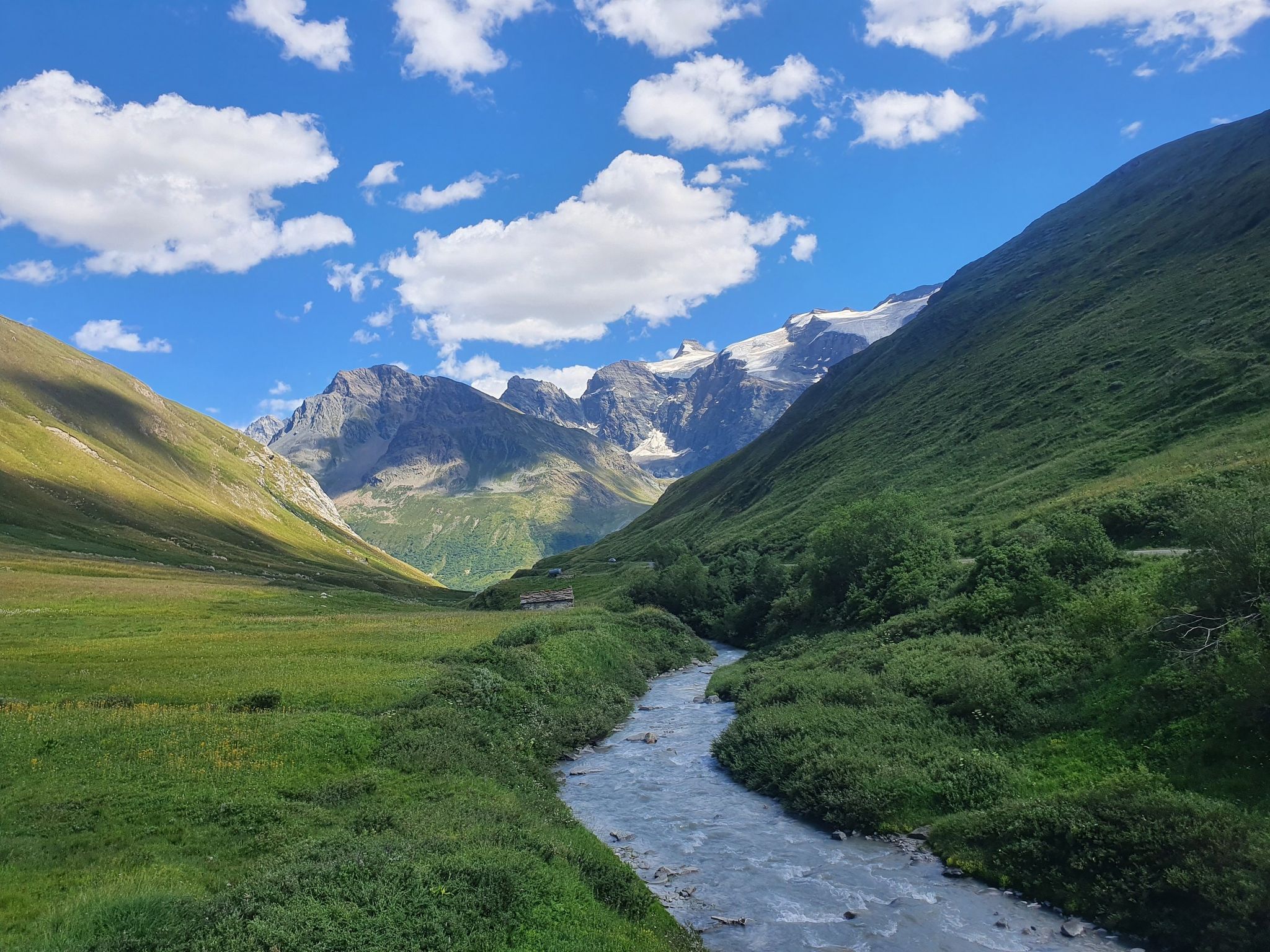
Europe Trail (GR 5) – Hike from Briançon to Landry
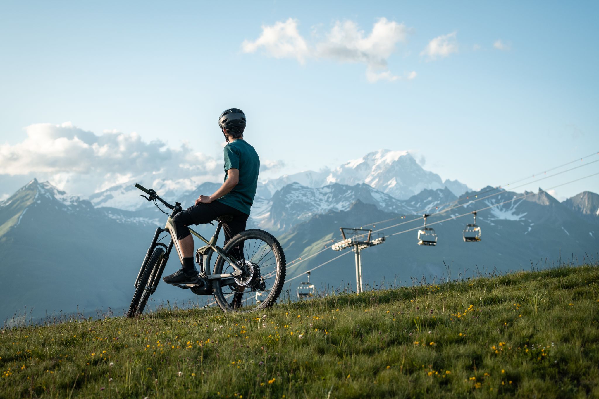
MTB routes around Bourg Saint Maurice – Les Arcs

Hike from Savoie to Vanoise – Hexatrek in France’s Northern Alps
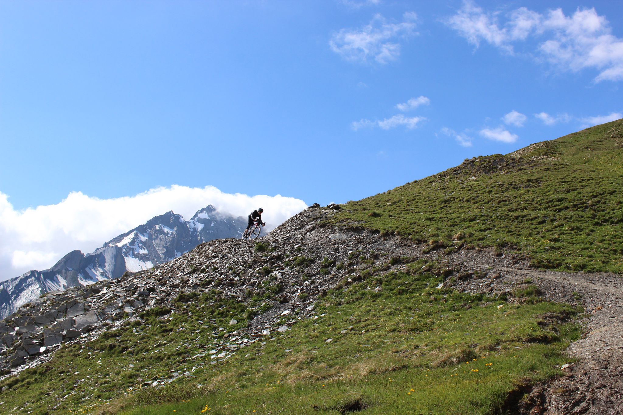
Spectacular Alpine gravel roads of the Tarentaise Valley
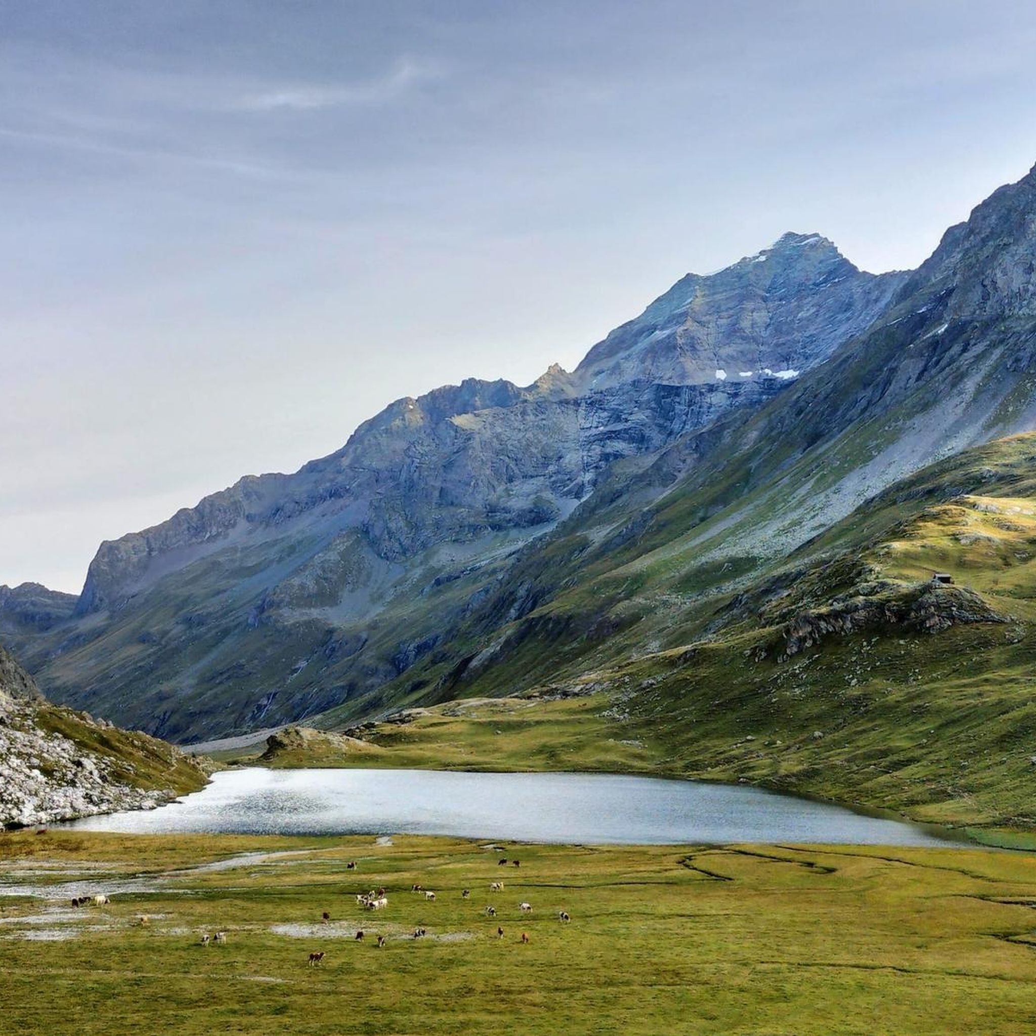
Hiking around Peisey-Nancroix
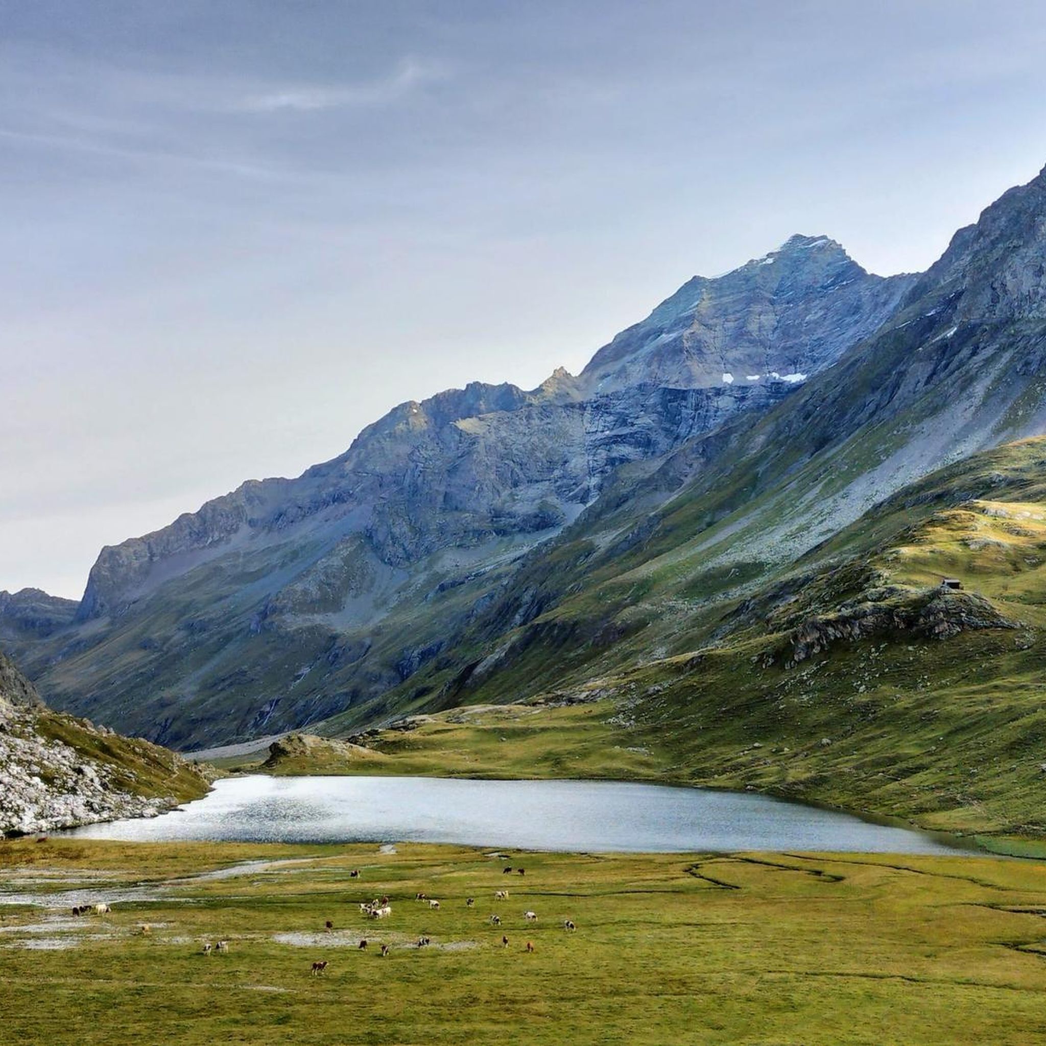
MTB Trails around Peisey-Nancroix
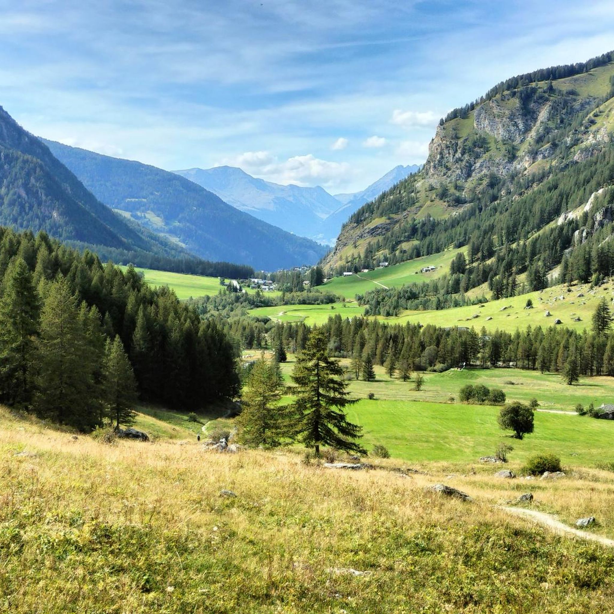
Cycling around Peisey-Nancroix
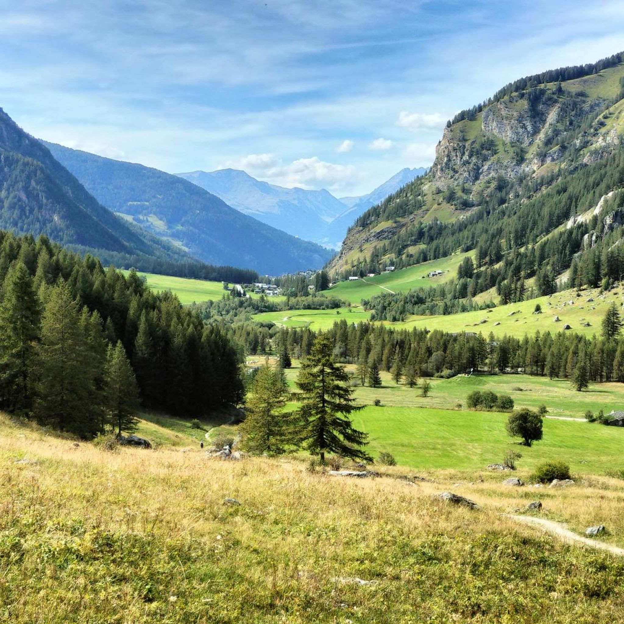
Running Trails around Peisey-Nancroix

Gravel biking around Peisey-Nancroix
Mountain Hikes around Peisey-Nancroix
Other adventures around Peisey-Nancroix


Tips from the Community

A beautiful cycle path along the river Isere
0
0

It allows you to go from Bourg Saint-Maurice to Moutiers away from the road except for two points.
0
0

Beautiful place of Beaufort cheese, even with a restaurant.
2
0
beautiful church and nice fountain on the edge of the old town
2
0
Cycle path along the Isere.
2
0
Beautiful cycle path along the Isere.
2
0


Information, contact, and opening hours: https://refuge-rosuel.vanoise.com/ The refuge is a starting point for numerous hikes and is a one-hour walk from the edge of the Vanoise National Park. It welcomes all visitors and provides information about the park. It is a stop on the GR5 long-distance hiking trail. A pair of bearded vultures nests nearby. https://www.vanoise-parcnational.fr/fr/fiche-apidae/refuge-de-rosuel-pnv
1
0
Frequently Asked Questions
What kind of terrain can I expect on road cycling routes around Peisey-Nancroix?
Road cycling routes in Peisey-Nancroix are characterized by a mountainous landscape with significant elevation changes. You'll encounter challenging climbs towards high mountain passes like the Iseran Pass and Col du Pré, as well as routes that follow river paths such as the Isère. The terrain often includes winding roads and offers diverse views, including natural features like the Tignes dam.
Are there road cycling routes suitable for beginners or those looking for an easier ride?
Yes, while the region is known for its challenging climbs, there are options for various ability levels. Out of 122 total routes, 23 are classified as easy and 59 as moderate, offering less strenuous options. For a moderate ride with scenic views, consider the View of the Tignes dam – On the banks of the Isère loop from Grande Motte (Perce-Neige).
What are some challenging road cycling routes for experienced riders in Peisey-Nancroix?
Experienced riders will find plenty of challenging ascents. Routes often feature substantial climbing towards high mountain passes. For instance, the View of the Tignes dam – Iseran Pass loop from Grande Motte (Perce-Neige) is a difficult 86.8-mile trail with over 3,600 meters of elevation gain, leading to a high mountain pass.
Are there any long-distance road cycling routes in the Peisey-Nancroix area?
Peisey-Nancroix offers several long-distance routes for endurance cyclists. The View of the Tignes dam – Iseran Pass loop from Grande Motte (Perce-Neige) covers nearly 87 miles (140 km), while the View of the Tignes dam – Isère Cycle Path loop from Grande Motte (Perce-Neige) is a challenging 69.5-mile (111.8 km) path combining dam views with river sections.
Can I find circular road cycling routes around Peisey-Nancroix?
Yes, many of the road cycling routes in Peisey-Nancroix are designed as loops, allowing you to start and end in the same location. Examples include the Serpentine Route – Vers le col du Pré loop from Landry and the Scenic Cycling Path – Siaix tunnel loop from Landry.
What kind of scenic viewpoints or natural attractions can I expect along the routes?
The routes offer stunning views of the mountainous landscape, including the Tignes dam and the Isère river valley. You can also find natural attractions like the Nant Putors Waterfall or the Bridal veil waterfall. For panoramic vistas, consider routes passing near Chapelle Notre-Dame des Vernettes.
Are there any interesting landmarks or places to explore near the road cycling routes?
Beyond the cycling, the region offers several points of interest. You could visit the picturesque Lake of the Cows, explore the charming settlement of Le Monal, or stop by mountain refuges like the Col de la Vanoise Refuge or Refuge de Rosuel.
What is the best time of year for road cycling in Peisey-Nancroix?
Given the mountainous terrain and high passes, the best time for road cycling in Peisey-Nancroix is typically during the warmer months, from late spring through early autumn. This period offers more favorable weather conditions and ensures that higher elevation roads and passes are clear of snow.
How popular is road cycling in Peisey-Nancroix among the komoot community?
Road cycling in Peisey-Nancroix is highly regarded by the komoot community. The routes have an average rating of 4.4 stars from over 590 reviews, and more than 33,000 road cyclists have used komoot to explore the area's diverse terrain.
How many road cycling routes are available in Peisey-Nancroix?
There are over 120 road cycling routes available in Peisey-Nancroix, offering a wide range of options from easy to difficult, catering to various skill levels and preferences.
Are there any routes that combine views of the Tignes dam with other features?
Yes, several routes offer views of the Tignes dam. For example, the View of the Tignes dam – Isère Cycle Path loop from Grande Motte (Perce-Neige) combines these dam views with sections along the scenic Isère Cycle Path.
Most popular routes around Peisey-Nancroix
Most popular attractions around Peisey-Nancroix

Get inspired with the komoot mobile app


Explore more
Browse the best Road cycling routes in other regions.
