The best gravel rides around Breuillet
3.8
(10)
114
riders
16
rides
Gravel biking around Breuillet offers diverse landscapes across the Arvert peninsula in Charente-Maritime, France. The region features an undulating plateau with agricultural plains, vineyards, and extensive wooded areas, reflecting its Celtic name meaning "little wood." To the north, the terrain transitions into the Seudre Estuary and its unique marshlands, known for oyster beds and rich biodiversity. Proximity to the ocean provides coastal influences, with many routes offering views or direct access to the "Côte sauvage."
Best gravel bike trails around…
Last updated: October 19, 2026
4.0
(1)
37
riders
80.6km
05:17
670m
670m
Hard gravel ride. Very good fitness required. Mostly paved surfaces. Suitable for all skill levels.
4.2
(6)
37
riders
50.6km
03:05
360m
360m
Moderate gravel ride. Good fitness required. Mostly paved surfaces. Suitable for all skill levels.

4.0
(1)
27
riders
Hard gravel ride. Good fitness required. You may need to push your bike for some segments of this route.
3.0
(1)
6
riders
Easy gravel ride. Great for any fitness level. Mostly paved surfaces. Suitable for all skill levels.
4.0
(1)
7
riders
74.6km
04:28
390m
390m
Moderate gravel ride. Good fitness required. Mostly paved surfaces. Suitable for all skill levels.
Get access to more routes and recommendations from other explorers.
Already have an account?
Our route recommendations are based on thousands of hikes, rides, and runs completed by other people on komoot.
Start today with a free account
Your next adventure awaits.
Tips from the Community

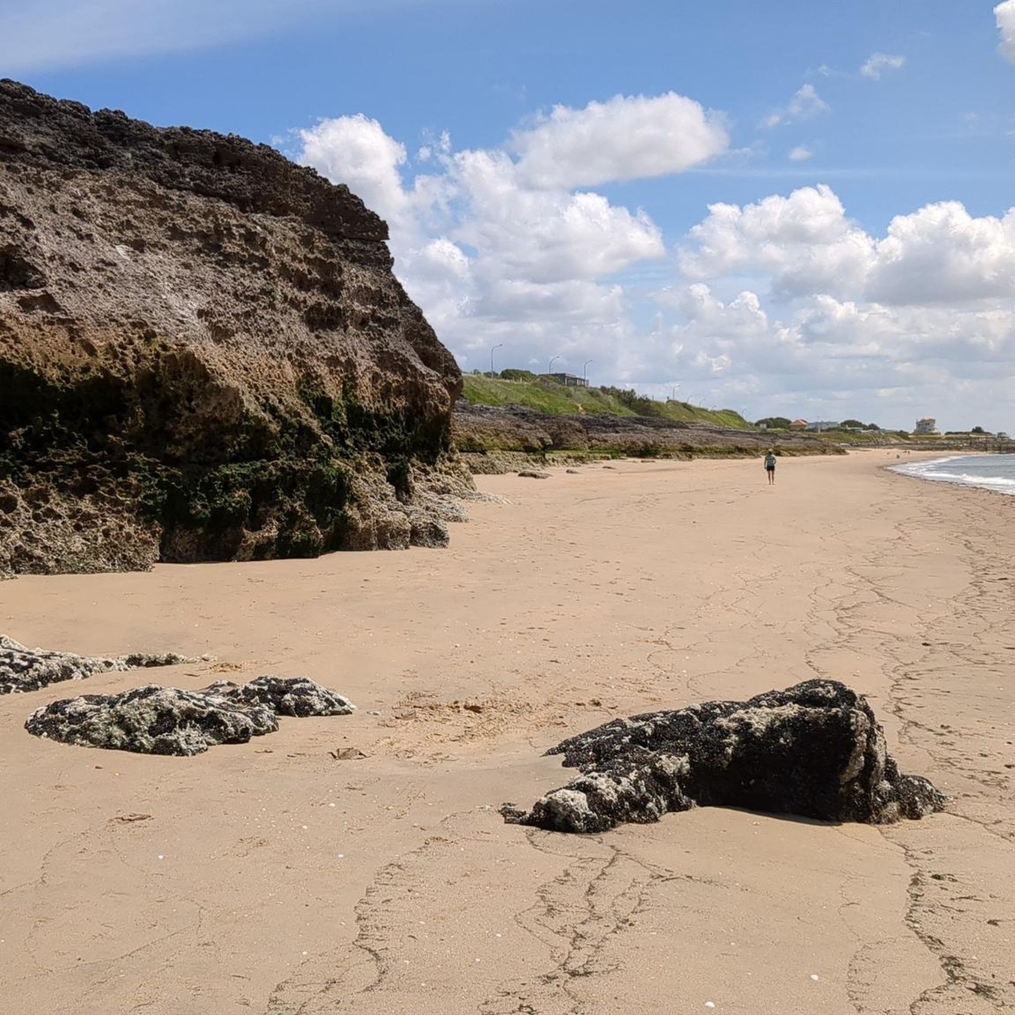
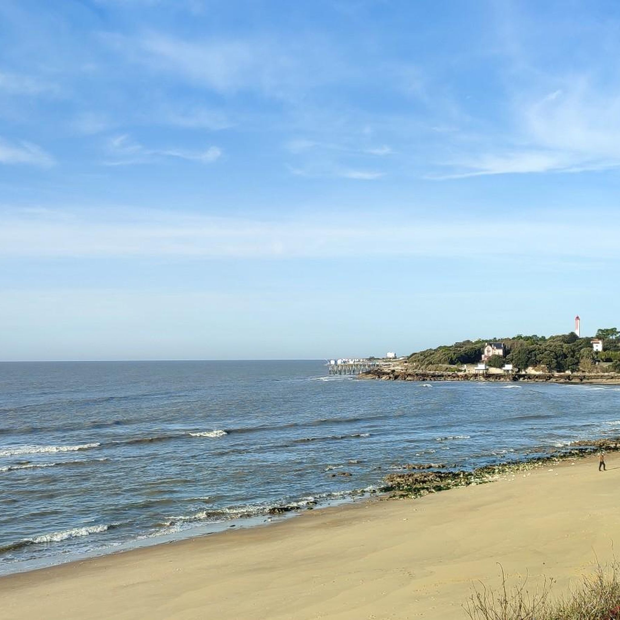
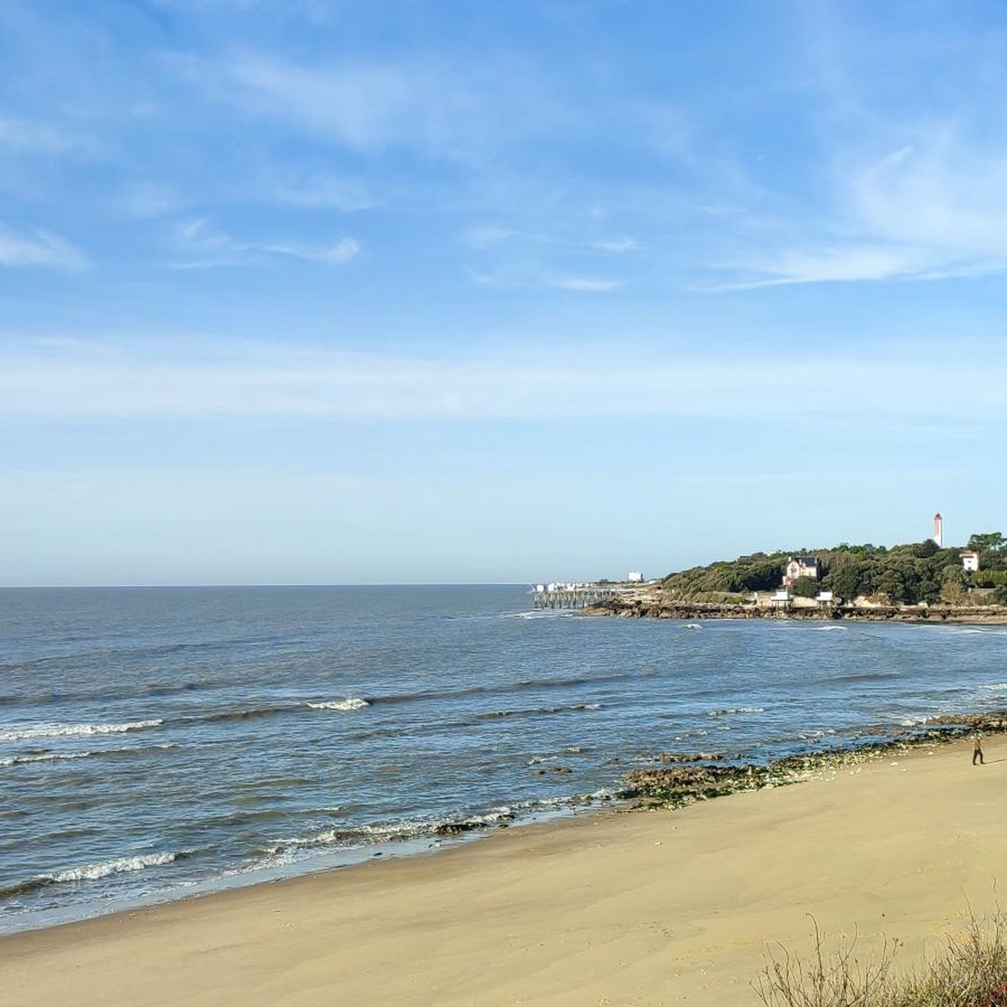
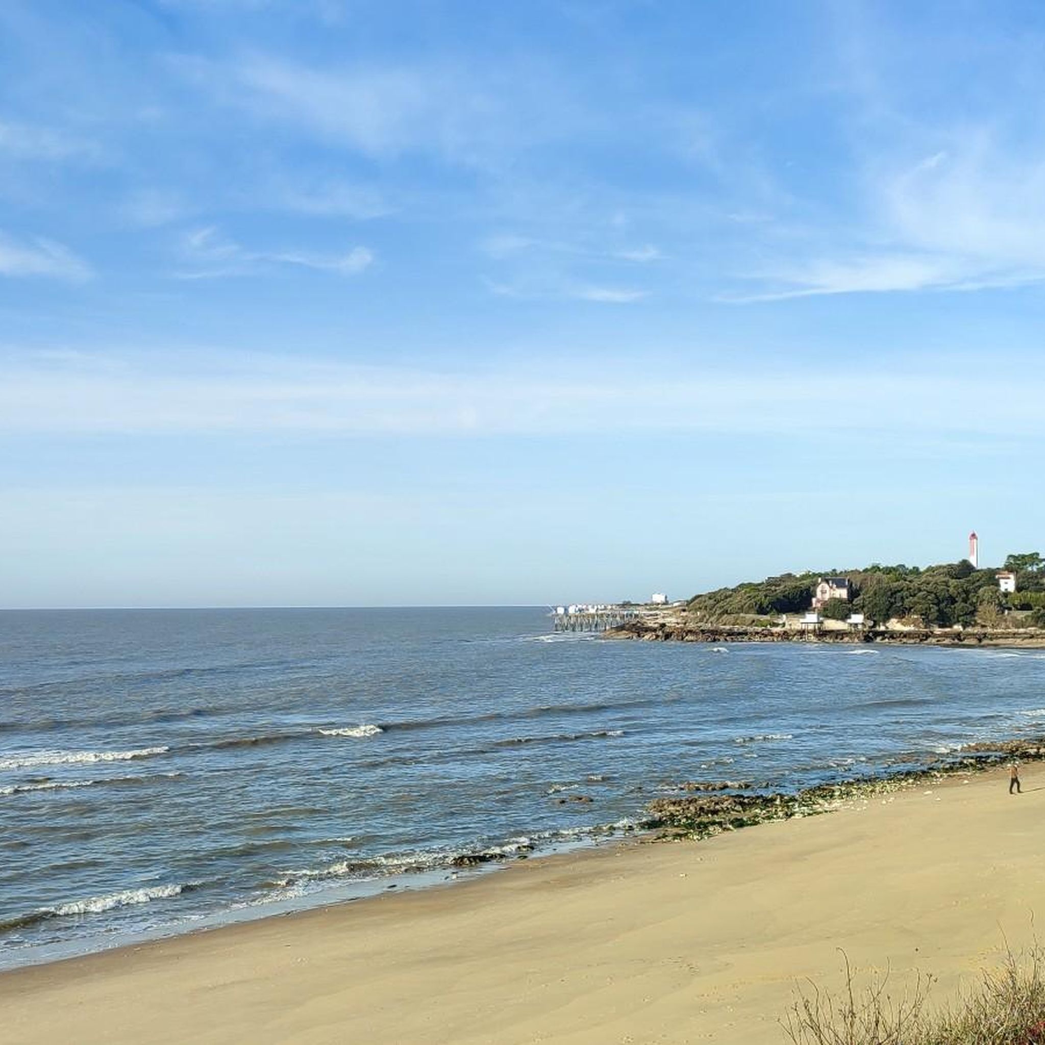
Magnificent portion with sublime views over the Gironde!
0
0

🏛️ Construction: 18-19 AD The arch was built around 18-19 AD, during the reign of Emperor Tiberius. It stood at the entrance to the Roman bridge crossing the Charente, at the outlet of the Via Agrippa, which connected Lyon to Saintes. It is therefore not truly a "triumphal arch": it was both a road monument and a monumental gate marking the entrance to Mediolanum Santonum, the capital of Roman Aquitaine. 👤 Who had it built? The arch was financed by Caius Julius Rufus, a Romanized notable from Saintonge. He dedicated it to Tiberius as well as his nephew Germanicus. The inscriptions engraved on the entablature still allow us today to know the figures to whom it was dedicated. The name "Arch of Germanicus" therefore comes from this dedication, and not from the fact that Germanicus personally had the arch built or crossed it. 🏗️ A rather exceptional monument The arch has two bays, likely allowing for the differentiation of traffic flows. It measures approximately 15 m high by 16 m wide. Its Corinthian and composite capitals bear witness to particularly meticulous Roman architecture. It constituted a true demonstration of the power and Romanization of Saintes. ⚠️ The moment the arch almost disappeared This is probably the most interesting episode in its history. For centuries, the arch was always located at the level of the Roman bridge and then the medieval bridge, on the right bank of the Charente. In the 19th century, the old bridge had become dilapidated. When it was decided to demolish it, around 1843, the arch was also threatened with destruction. It was then that Prosper Mérimée, Inspector General of Historical Monuments, intervened. He advocated for its preservation and arranged for its dismantling, relocation, and reassembly on the new bank. Another figure is also associated with this preservation: Victor Hugo, who stayed in Saintes in September 1843 and intervened in favor of the monument's conservation with Mérimée. 📍 Why is the arch no longer exactly in its ancient location? The arch we see today, on Place Bassompierre, is therefore no longer in its original location. It was moved a few dozen meters during the transformation of the quays and the disappearance of the old bridge. It was dismantled stone by stone and then reassembled in order to preserve it. It is now located in the immediate vicinity of the ancient Roman bridge crossing. 🏛️ Protection The Arch of Germanicus was finally classified as a historical monument in July 1905. An interesting detail The Crazannes quarries, located near Saintes, supplied a limestone widely used in the region's ancient constructions. Crazannes stone was notably used for monuments such as the Arch of Germanicus. In summary: 18-19 → construction of the arch at the entrance to the Roman bridge ↓ Antiquity → Middle Ages → the arch remains associated with the crossing of the Charente ↓ 1843 → demolition of the old bridge and threat to the arch ↓ 1843-1844 → Mérimée's intervention and relocation of the arch ↓ 1905 → classified as a Historical Monument
0
0

For this nature and its church
0
0
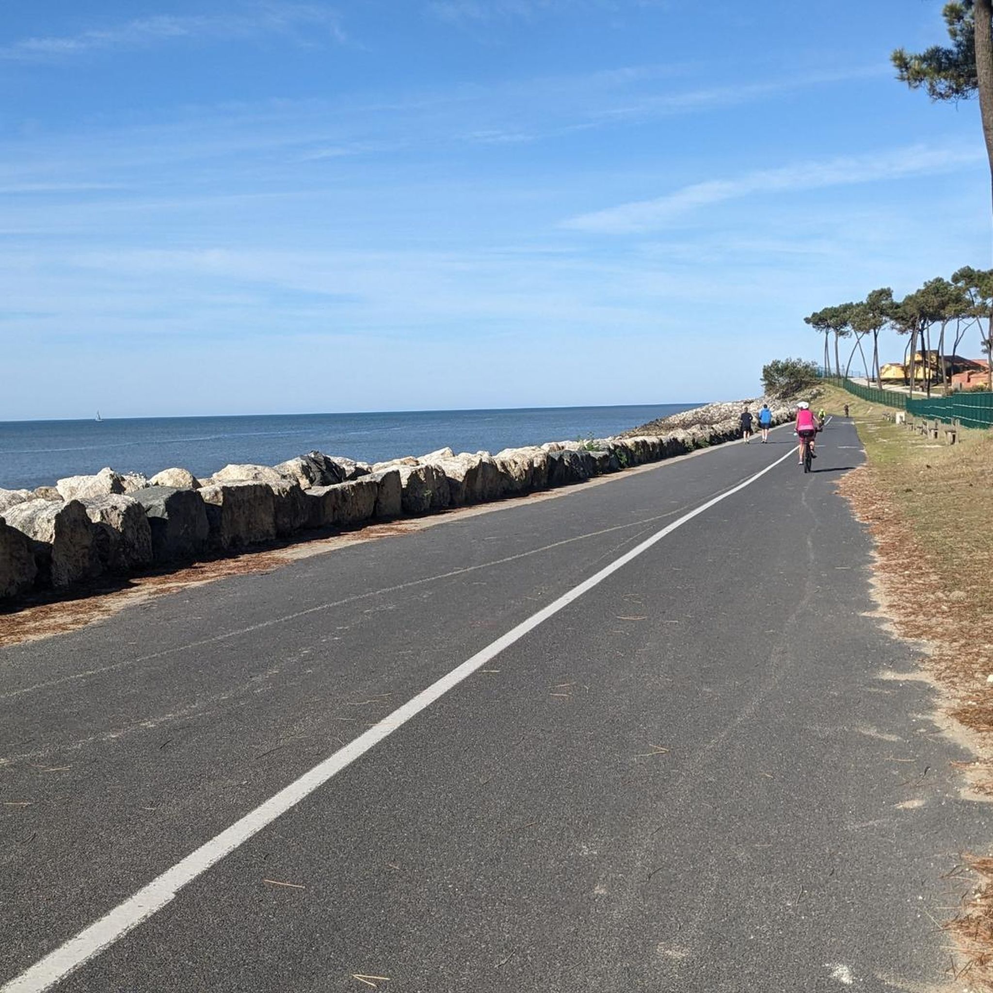
Very nice walk or bike ride
0
0
The carrelets of Saint-Palais-sur-Mer are among the most emblematic elements of the Charente coastline. Their history blends traditional fishing, tourist development, and local heritage. 🐟 Origin of the carrelets Originally, the word "carrelet" referred to a square fishing net used since the 17th century. A precise description can be found as early as 1769, in the writings of the scholar Henri-Louis Duhamel du Monceau, who mentioned this type of fishing on the Saintonge coast. 👉 At that time, these were not yet the current huts, but simply a net operated from rudimentary structures. ⚓ Artisanal fishing structures The first local carrelets were simple wooden platforms, built by the fishermen themselves to stand above the water. They were mainly used to catch shrimp, fish, and crabs near the shore, without going out to sea. 👉 It was a family and coastal fishery, less dangerous than sea fishing. 🏖️ 19th – early 20th century: transition to a leisure activity At the turn of the 20th century, with the rise of seaside resorts like Saint-Palais, the carrelets evolved. Holidaymakers and notable figures adopted this practice: construction of fixed jetties, appearance of huts on stilts. The carrelets then became places for relaxation as much as for fishing. 👉 They already contributed to the postcard image of the coast. 🪵 After 1945: democratization and multiplication After the Second World War, the number of carrelets increased sharply. They became a symbol of popular leisure and conviviality. The transition was gradually made from a means of subsistence to a recreational activity. 🌊 Storms and reconstruction The carrelets are fragile in the face of storms: 1999: massive destruction (up to 90% in some areas) 2010 (Xynthia storm): new damage Many have been rebuilt identically, respecting tradition. 🏛️ Today: protected heritage In Charente-Maritime, there are about 400 carrelets. They are: integrated into the public maritime domain allocated by administrative authorization (often renewed every 5 years) Since 2018, they have been recognized as cultural heritage of the department. 👉 In Saint-Palais, they can be observed in particular: at Pont du Diable at the conche du Concié at the Puits de l’Auture
0
0
📍 Introducing the Gilet Cove The Gilet Cove is a small, natural beach on the oceanfront, located on Boulevard de la Conche de Gilet / Boulevard de la Falaise, in the town of Vaux-sur-Mer, just before Royan. 🌿 It's a sheltered, rocky cove, appreciated for its tranquility and more intimate setting compared to the larger urban beaches nearby. 🏖️ At high tide, the sea can completely cover this small beach, making the space very limited; at low tide, you can enjoy a patch of sand and rocks for relaxing or swimming. 🧭 Features & Tips 📍 Type of place: small, unsupervised beach, nestled among the rocks with sand and cliffs. 🏖️ Tides: access is best at low tide — at high tide the beach can disappear underwater. 🐶 Animals: prohibited from April 1st to September 30th (subject to municipal regulations). 👣 Access: via stairs from the boulevard above, surrounded by villas with sea views. 🚫 Lifeguard services: no lifeguard station or marked services. 📍 Location La Conche de Gilet is often considered the last small beach in Vaux-sur-Mer before reaching Royan/Pontaillac when following the coastline from Saint-Palais-sur-Mer.
0
0
The flushing lock is located at the head of the port, between the north bank's embankment and the south bank's quay. A retention basin, occupying the non-navigable Seudre riverbed as far as Saujon, follows the flushing lock. Within the retention basin, rubble stone embankments extend the lock's return walls for a few meters. The lock itself forms a bridge carrying a road. The lock bridge consists of two piers, forming three arches, each housing two gates. On the upstream side of the lock, the piers have semicircular cutwaters. The three bands are stacked and terminate in clamps. The lock ends with a cornice resting on modillions. The cornice follows the shape of the cutwaters. A metal balustrade, also semicircular in shape, is fixed to the top of the lock. This balustrade is framed by two stone moldings. The sluice gate and its upstream and downstream return walls are constructed of dressed stone. The masonry is of medium and regular quality, except for the coping of the return walls, which features large and regular masonry. The upstream north return wall is lower than the one on the south bank. A small parapet of recently constructed white rubble masonry surmounts it. The sluice gate is equipped with metal gates, the modern racks of which are visible. The first sluice gate was built around 1825 on the site of a former tidal mill. During the works carried out between 1839 and 1842, the sluice gate's embankment was modified to allow the passage of vehicles. Between 1847 and 1853, the lock was enlarged to allow for larger flushes, and the reservoir was excavated. Return walls were also built to connect the flushing lock to the riprap. It was then restored in 1865 and completely rebuilt between 1868 and 1869. The lock is 10.50 m wide, and its gates are each 1.50 m wide. The reservoir is 700 m long and has an average width of 30 m.
0
0
Frequently Asked Questions
What types of landscapes can I expect to encounter on gravel bike trails around Breuillet?
Gravel biking around Breuillet offers a rich variety of landscapes. You'll ride through undulating plateaus with agricultural plains, vineyards, and extensive wooded areas. To the north, routes transition into the unique marshlands of the Seudre Estuary, known for oyster beds. Many trails also provide coastal influences, with views or direct access to the "Côte sauvage" (wild coast).
Are there gravel routes suitable for beginners or those looking for an easier ride?
Yes, Breuillet offers a range of routes for different ability levels. While some are more challenging, you can find easier options. For instance, the region's "Chemins de la Seudre" paths along the river are often flat and suitable for a more relaxed pace through undergrowth and marshes.
What kind of natural features or wildlife might I see while cycling in the Seudre marshes?
The Seudre marshes are rich in biodiversity. As you cycle through this area, you might spot diverse fauna such as otters, stag beetles, egrets, and grey herons. The unique flora includes rush, water aloe, and sea lavender, adding to the natural appeal of the routes.
Are there any specific landmarks or attractions I can visit along the gravel bike routes?
Yes, several routes offer access to interesting points. You can find coastal highlights like Saint-Georges-de-Didonne Beach and Chay Beach. Other notable spots include the Lighthouse of George de Didonne's port and the Port of Royan. The Our Lady of the Aviators Chapel in Saint-Palais is also an interesting stop.
What is the best season for gravel biking in Breuillet?
The region's diverse landscapes, from coastal paths to wooded areas and marshes, are enjoyable across multiple seasons. Spring and autumn generally offer pleasant temperatures and beautiful scenery, making them ideal for exploring. Summer can also be great, especially for coastal rides, but be mindful of warmer temperatures.
Are there any long-distance gravel routes available for more experienced riders?
Absolutely. For those seeking longer rides, consider routes like the Wild Coast of La Tremblade – Ronce-les-Bains mountain bike circuit loop from Saint-Augustin, which covers over 50 km. These longer routes often combine varied terrain, including coastal sections and marshlands, providing a comprehensive experience of the region.
Can I find loop routes for gravel biking around Breuillet?
Yes, many of the gravel bike trails in the Breuillet area are designed as loops, allowing you to start and finish at the same point. An example is the Promenade des Deux Phares – Côte sauvage loop from Vaux-sur-Mer, which offers a scenic circular ride.
What do other gravel bikers say about the trails in Breuillet?
The gravel biking routes in Breuillet are highly regarded by the komoot community, with an average rating of 4.4 stars from over 60 reviews. Riders often praise the diverse terrain, from wooded environments and agricultural plains to the unique coastal and marshland paths along the Seudre Estuary.
Are there any family-friendly gravel biking options in the area?
While specific family-friendly routes are not highlighted, the region's network of paths and unpaved roads offers options for various skill levels. Flatter sections, particularly along the "Chemins de la Seudre" in the marshlands, could be suitable for families looking for a more relaxed ride away from busier roads.
Where can I find parking for gravel bike trails near Breuillet?
Many routes in the Breuillet area start from towns or villages that typically offer public parking facilities. For example, routes starting from Royan or Saint-Augustin would likely have parking available. It's advisable to check specific starting points for detailed parking information.
Are there opportunities to find cafes or refreshments along the gravel bike routes?
Given the proximity to towns and coastal areas like Royan and La Tremblade, it's common to find cafes, restaurants, and other refreshment stops. Routes that pass through or near these populated areas, such as those along the coast or near the Seudre Estuary, will offer more opportunities for breaks and snacks.
Most popular attractions around Breuillet

Get inspired with the komoot mobile app


Explore more
Browse the best Gravel rides in other regions.
