The best road cycling routes around Breuillet
4.2
(283)
7,719
riders
328
rides
Road cycling around Breuillet features routes that traverse coastal plains, marshlands, and river estuaries. The terrain is generally flat to gently rolling, with minimal elevation changes, making it suitable for various skill levels. The region is characterized by its proximity to the Atlantic coast and the Seudre river basin, offering a mix of open landscapes and routes through small towns.
Best road cycling routes around Breuillet
- The most popular road cycling route is Chay Beach – Notre-Dame Church, Royan loop…
Last updated: October 20, 2026
12
riders
Moderate road ride. Good fitness required. Some segments of this route may be unpaved and difficult to ride.
5.0
(1)
9
riders
Moderate road ride. Good fitness required. Mostly well-paved surfaces and easy to ride.

15
riders
Moderate road ride. Good fitness required. Mostly well-paved surfaces and easy to ride.
11
riders
Moderate road ride. Good fitness required. Mostly well-paved surfaces and easy to ride.
5
riders
Moderate road ride. Good fitness required. Mostly well-paved surfaces and easy to ride.
Get access to more routes and recommendations from other explorers.
Already have an account?
Our route recommendations are based on thousands of hikes, rides, and runs completed by other people on komoot.
Start today with a free account
Your next adventure awaits.

Tips from the Community

The Halles of Mornac first appeared in the Middle Ages. It was only in 1664 that the first written proof attested to their existence. They are likely older and could date back to the 1550s. The Halles are generally timber-framed shelters supported by stone pillars and covered with tiles. It can be assumed that, like those of Cozes and Pisany, they suffered the vicissitudes of the Wars of Religion and were damaged, or even destroyed, then rebuilt when peace returned. The site of the Halles of Mornac was a renowned fairground and allowed the inhabitants to sell their products in exchange for a fee paid to the Lord. It was an important source of income for him, which also obliged him to maintain these Halles in perfect condition. An act engaging the Lord and the seller sealed a contract signifying the rights to sell unpacked goods and the maintenance of the said Halles.
0
0

The artwork shows two giant hands opening a large oyster with an oyster knife. The base of the roundabout is appropriately covered with countless empty oyster shells. The sculpture is called "Les mains et l’huître" (or also "Les amateurs d'huîtres") and was created in 2004 by the French artist Jean-Luc Plé, who is known for his large-scale roundabout art (Art giratoire) in the region. The artwork symbolizes the long tradition of oyster farming in the Marennes-Oléron basin, the best-known oyster farming region in France.
0
0
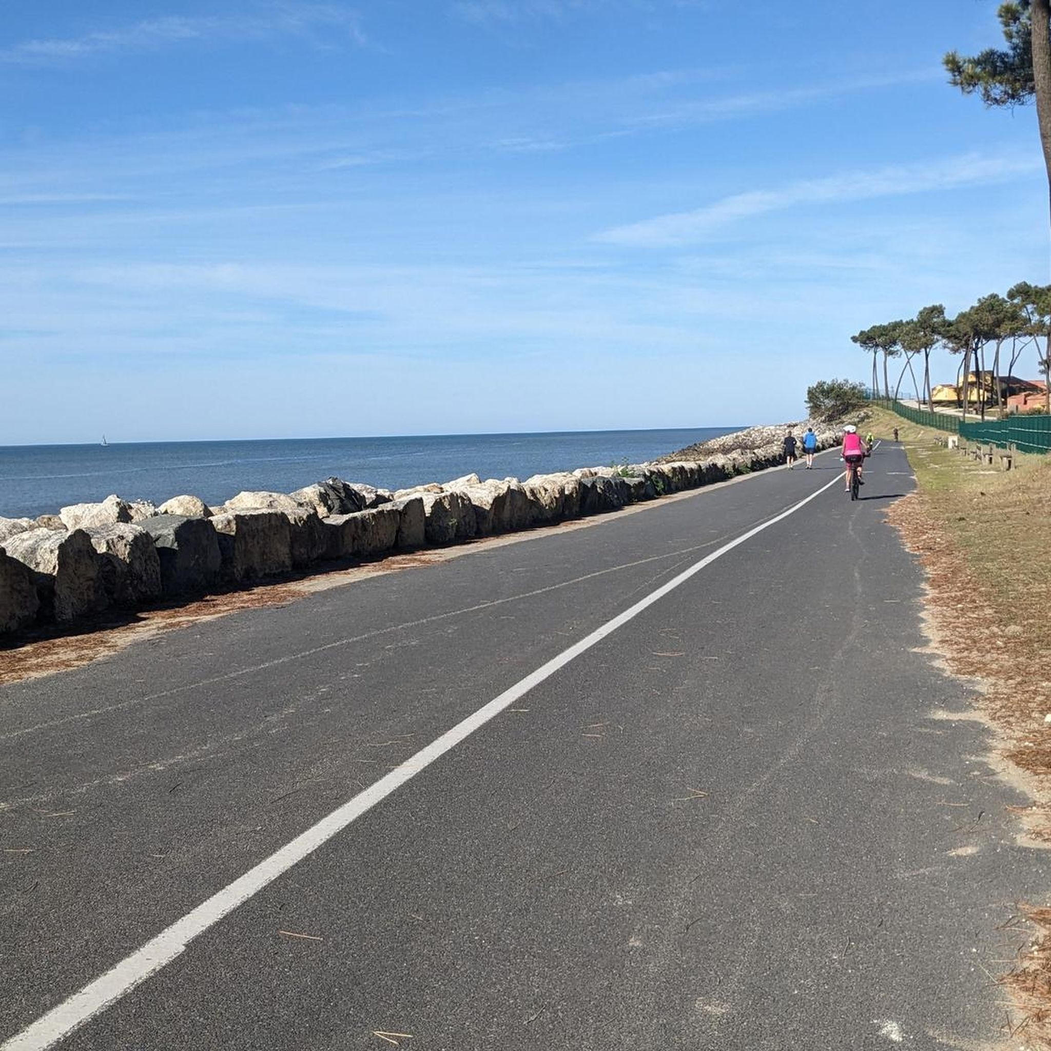
Good asphalt, practically no cars, so you can run well on it.
0
0
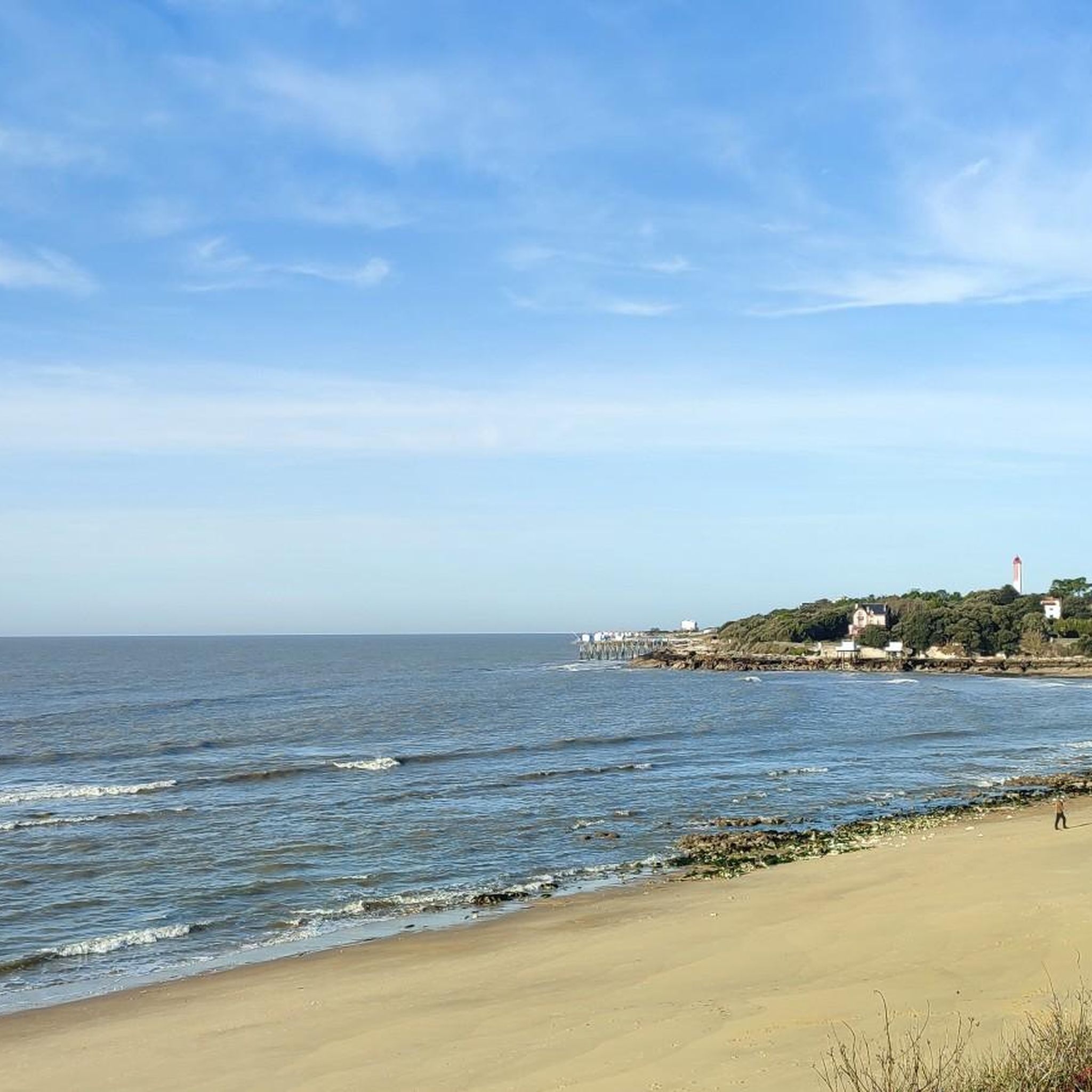
Located on the commune of St-Palais-sur-Mer, at the tip of Terre-Nègre, it is intended to mark the southern passage of the Gironde estuary and to signal the presence of a dangerous sandbank, the la barre à l'Anglais.
0
0

The carrelets of Saint-Palais-sur-Mer are among the most emblematic elements of the Charente coastline. Their history blends traditional fishing, tourist development, and local heritage. 🐟 Origin of the carrelets Originally, the word "carrelet" referred to a square fishing net used since the 17th century. A precise description can be found as early as 1769, in the writings of the scholar Henri-Louis Duhamel du Monceau, who mentioned this type of fishing on the Saintonge coast. 👉 At that time, these were not yet the current huts, but simply a net operated from rudimentary structures. ⚓ Artisanal fishing structures The first local carrelets were simple wooden platforms, built by the fishermen themselves to stand above the water. They were mainly used to catch shrimp, fish, and crabs near the shore, without going out to sea. 👉 It was a family and coastal fishery, less dangerous than sea fishing. 🏖️ 19th – early 20th century: transition to a leisure activity At the turn of the 20th century, with the rise of seaside resorts like Saint-Palais, the carrelets evolved. Holidaymakers and notable figures adopted this practice: construction of fixed jetties, appearance of huts on stilts. The carrelets then became places for relaxation as much as for fishing. 👉 They already contributed to the postcard image of the coast. 🪵 After 1945: democratization and multiplication After the Second World War, the number of carrelets increased sharply. They became a symbol of popular leisure and conviviality. The transition was gradually made from a means of subsistence to a recreational activity. 🌊 Storms and reconstruction The carrelets are fragile in the face of storms: 1999: massive destruction (up to 90% in some areas) 2010 (Xynthia storm): new damage Many have been rebuilt identically, respecting tradition. 🏛️ Today: protected heritage In Charente-Maritime, there are about 400 carrelets. They are: integrated into the public maritime domain allocated by administrative authorization (often renewed every 5 years) Since 2018, they have been recognized as cultural heritage of the department. 👉 In Saint-Palais, they can be observed in particular: at Pont du Diable at the conche du Concié at the Puits de l’Auture
0
0

Exceptional view, the most beautiful village in France.
0
0

Here you'll find a romantic little lighthouse, and behind it lies a garden with a bench overlooking the sea, a lovely place to stop for a break. Afterwards, you can continue along the cliff to the right until you reach Euro Velo 1 again.
0
0

Even more beautiful after its restoration
0
0
Frequently Asked Questions
How many road cycling routes are available around Breuillet?
There are over 300 road cycling routes around Breuillet, catering to various skill levels. You'll find a good mix of easy, moderate, and a few challenging options.
Are there easy road cycling routes suitable for beginners in Breuillet?
Yes, Breuillet offers 66 easy road cycling routes. These routes generally feature flat to gently rolling terrain, making them ideal for beginners or those looking for a relaxed ride.
What options are there for advanced road cyclists in Breuillet?
While the terrain is generally gentle, there are 10 difficult routes for advanced cyclists seeking more challenging distances or slightly higher elevation gains. The region's longer routes, such as the Mornac-sur-Seudre – Notre-Dame Church, Royan loop, offer extended rides.
What is the best time of year for road cycling in Breuillet?
The region is generally pleasant for cycling from spring through autumn. Summer offers warm weather, while spring and autumn provide cooler temperatures and beautiful scenery. Winter conditions can be milder near the coast, but it's always best to check local forecasts.
Are there any scenic viewpoints or landmarks along the road cycling routes?
Many routes offer coastal views and pass by interesting landmarks. For example, the Chay Beach – Notre-Dame Church, Royan loop offers coastal vistas and passes by historic sites. You can also explore highlights like Saint-Georges-de-Didonne Beach or the Port of Royan.
Can I find loop road cycling routes in Breuillet?
Yes, many road cycling routes in Breuillet are designed as loops, allowing you to start and finish at the same point. A popular option is the Brouage Marsh – Seudre Bridge loop, which showcases marshland landscapes.
What do other road cyclists enjoy most about road cycling in Breuillet?
The area is highly rated by the komoot community, with an average score of 4.1 stars from over 260 reviews. Reviewers often praise the varied terrain, from coastal paths to marshland routes, and the well-maintained paths suitable for different abilities.
Are there road cycling routes that pass through picturesque villages or offer opportunities for cafes?
Yes, routes like The market halls in Mornac-sur-Seudre – Mornac-sur-Seudre loop lead through charming villages, providing opportunities to stop at local cafes and experience the regional atmosphere.
What kind of terrain can I expect on road cycling routes around Breuillet?
Road cycling around Breuillet features routes that traverse coastal plains, marshlands, and river estuaries. The terrain is generally flat to gently rolling, with minimal elevation changes, making it suitable for various skill levels.
Are there less crowded road cycling routes near Breuillet?
While popular routes can see more traffic, the extensive network of over 300 routes means you can often find quieter paths, especially away from the immediate coastal towns. Exploring routes through the marshlands or inland villages can offer a more serene experience.
What are some notable attractions near the road cycling routes in Breuillet?
Beyond the routes themselves, you can visit attractions such as Chay Beach, the Lighthouse of George de Didonne's port, or the Our Lady of the Aviators Chapel in Saint-Palais, many of which are accessible from various cycling paths.
Most popular attractions around Breuillet

Get inspired with the komoot mobile app


Explore more
Browse the best Road cycling routes in other regions.
