The best gravel rides around Urmatt
4.5
(9)
61
riders
22
rides
Gravel biking around Urmatt offers a diverse landscape characterized by rolling hills, dense forests, and river valleys. The region features varied terrain, including forest roads and mountain passes, providing a range of gradients for gravel cyclists. Elevations can be significant, with routes often including substantial climbs and descents.
Best gravel bike trails around Urmatt
- The most popular gravel bike trail is Route des Pionniers – La Porte de Pierre loop from Heiligenberg - Mollkirch, a 31.8 miles (51.2 km) trail that takes 3 hours 42 minutes to complete. This difficult route features challenging ascents and scenic views through varied terrain.
- Another top favourite among local gravel bikers is Pandours Pass – Col des Pandours loop from Glossberg, a moderate 12.2 miles (19.7 km) path. This route navigates through forested areas and offers views from mountain passes.
- Local gravel bikers also love the Prayé Forest Road – Lac de la Maix loop from Urmatt, a 44.5 miles (71.7 km) trail leading through extensive forests and past a lake, often completed in about 5 hours 9 minutes.
- Gravel biking around Urmatt is defined by dense woodlands, mountain passes, and significant elevation changes. The network offers options for different ability levels, from moderate paths to advanced gravel biking routes.
- The routes in Urmatt are highly rated by the komoot community with an average score of 4.7 stars from over 15 reviews. More than 140 gravel bikers have used komoot to explore Urmatt's varied terrain.
Last updated: July 3, 2026
5.0
(1)
15
riders
120km
09:17
2,200m
2,200m
Hard gravel ride. Very good fitness required. Mostly paved surfaces. Suitable for all skill levels.
9
riders
Hard gravel ride. Very good fitness required. Mostly paved surfaces. Suitable for all skill levels.

Sign up for free
4.0
(1)
30
riders
89.1km
07:11
1,960m
1,960m
Hard gravel ride. Very good fitness required. You may need to push your bike for some segments of this route.
4.7
(3)
4
riders
19.7km
01:21
450m
450m
Moderate gravel ride. Good fitness required. Mostly paved surfaces. Suitable for all skill levels.
5.0
(1)
5
riders
72.8km
05:14
1,370m
1,370m
Hard gravel ride. Very good fitness required. You may need to push your bike for some segments of this route.
Get access to more routes and recommendations from other explorers.
Sign up for free
Already have an account?
Our route recommendations are based on thousands of hikes, rides, and runs completed by other people on komoot.
Start today with a free account
Your next adventure awaits.
Login or Signup
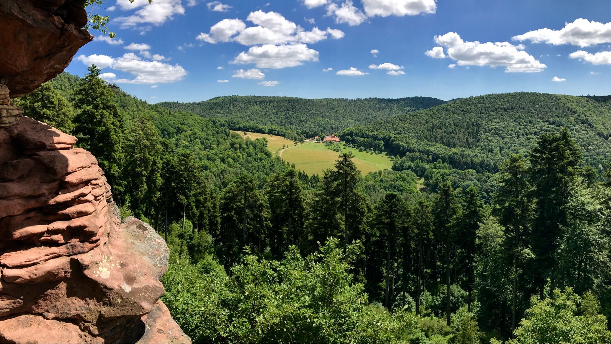
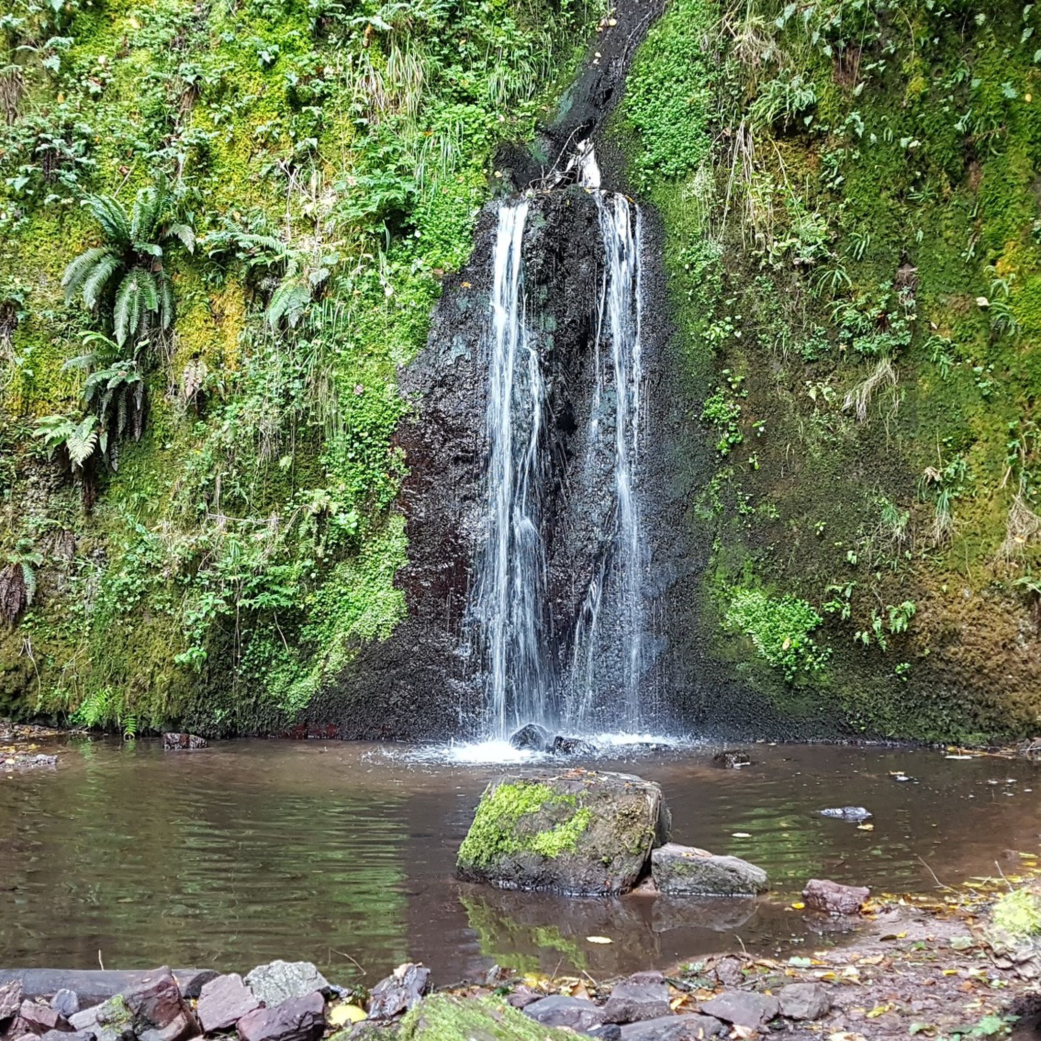
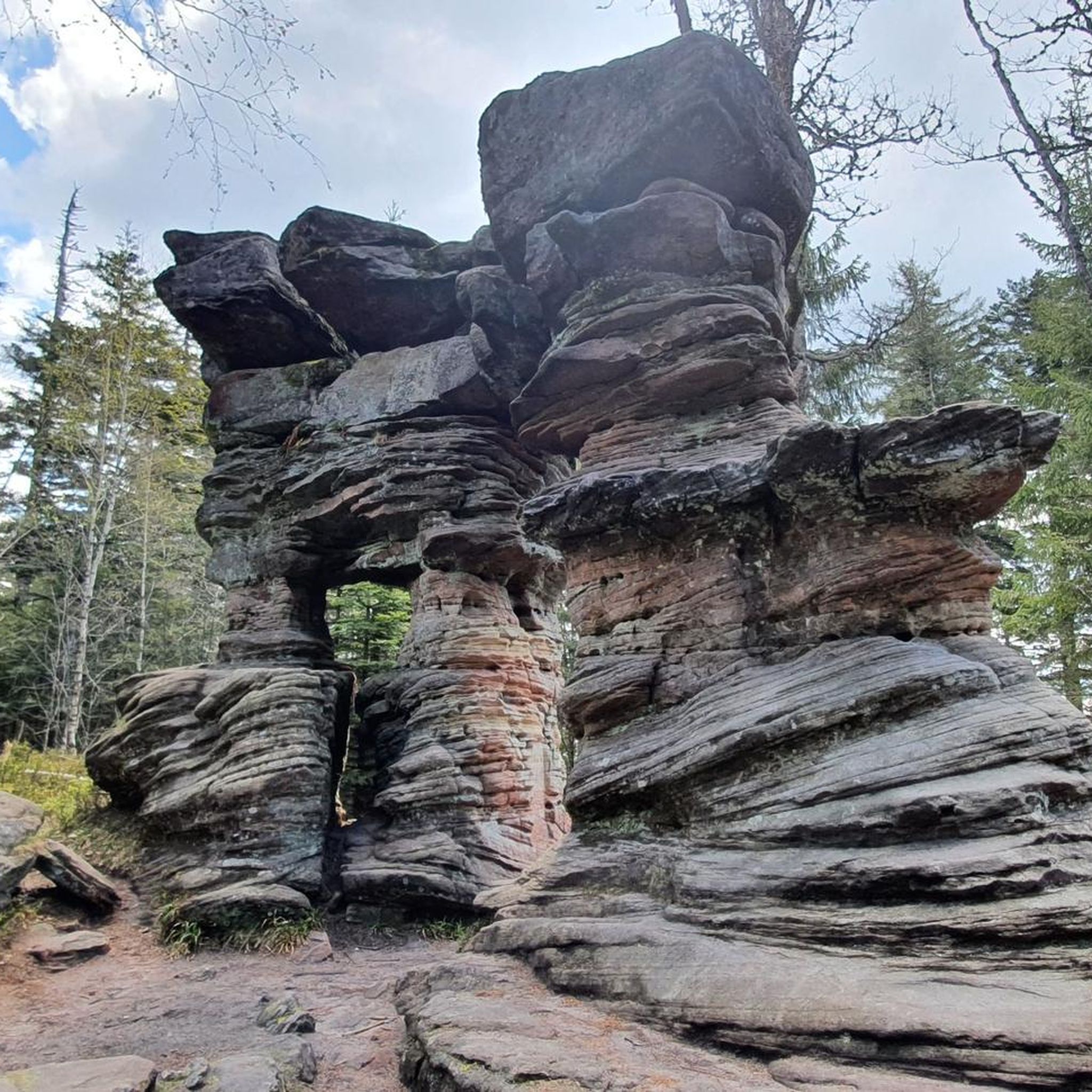
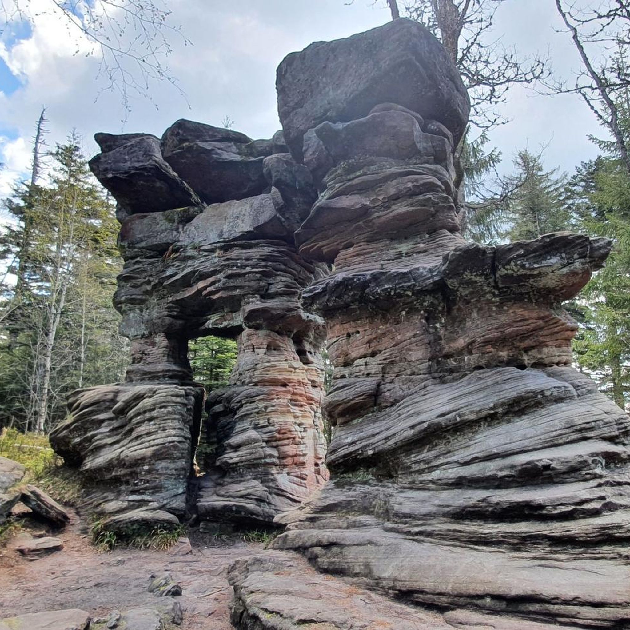
Other adventures around Urmatt

Tips from the Community

This section of the cycle path that crosses the Bruche Valley is one of the most beautiful. The landscape is completely unobstructed, allowing you to admire the first Vosges mountains. All this while cycling on a very high-quality surface.
0
0

very nice view and a good place to eat
0
0

Very nice to ride: moderate gradient, little traffic.
0
1

A long and beautiful forest road. However, it's bumpy in places on a road bike!
0
0

Beautiful trails. Unfortunately, a section was closed, private. But we continued, just in a different way.
0
0

What a blessing, these fountains that are officially designated as drinking water fountains!
0
0

The place is good for sleeping but you will have to walk a little lower down to the water point.
2
0
Very practical for topping up the water supply
1
0
Frequently Asked Questions
How many gravel bike trails are available around Urmatt?
Urmatt offers a substantial network for gravel biking, with nearly 30 routes available. These trails navigate through diverse landscapes, including dense forests, river valleys, and rolling hills.
Are there any easy or beginner-friendly gravel bike trails in Urmatt?
While Urmatt is known for its challenging terrain, there are a few moderate options suitable for those with some gravel biking experience. Currently, there are no trails classified as 'easy' for gravel biking in the immediate Urmatt area, but five routes are rated as moderate. For example, the Pandours Pass – Col des Pandours loop from Glossberg is a moderate 12.2-mile (19.7 km) path that offers a good introduction to the region's gravel roads.
What kind of terrain can I expect on Urmatt's gravel bike routes?
The terrain around Urmatt is characterized by significant elevation changes, with routes often including substantial climbs and descents. You'll encounter a mix of forest roads, mountain passes, and varied surfaces typical of the Vosges foothills. Dense woodlands and river valleys are common features, providing both challenging gradients and scenic views.
What are some notable viewpoints or landmarks along the gravel trails in Urmatt?
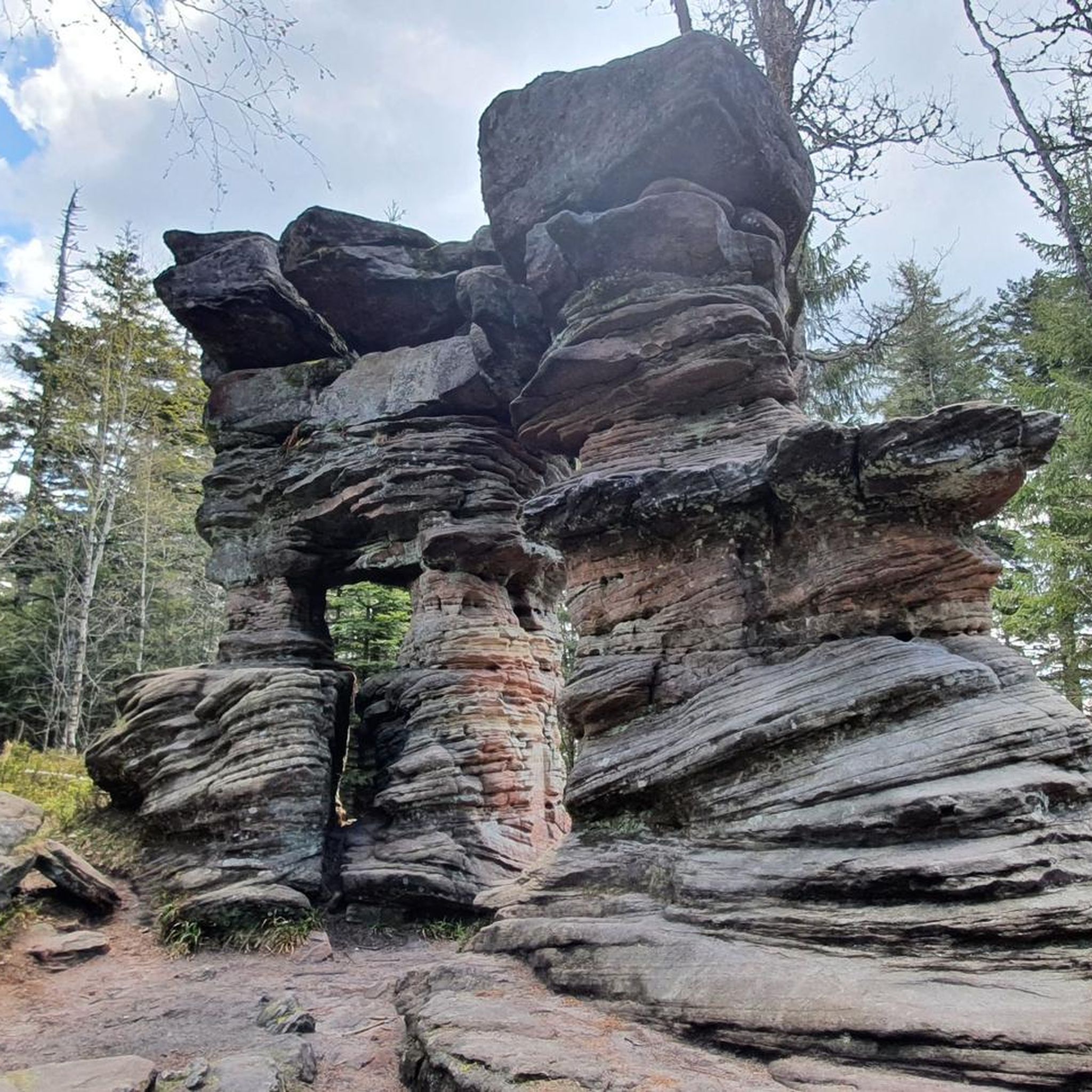
Many routes offer stunning vistas and pass by interesting landmarks. You might encounter historical sites like the Donon Temple, or natural viewpoints such as Rocher de Dabo and Chapel Saint-Léon IX and Heidenkopf. The region also features several mountain summits like Schneeberg Summit and Le Petit Donon, which can be part of longer rides.
Are there any long-distance or advanced gravel biking routes in Urmatt?
Yes, Urmatt is particularly well-suited for advanced gravel bikers, with 24 routes classified as difficult. These routes often feature significant distances and considerable elevation gains. For instance, the Pandours Pass – Col des Pandours loop from Wangenbourg-Engenthal is a challenging 54.9-mile (88.3 km) ride with nearly 2,000 meters of ascent.
What do other gravel bikers say about the trails in Urmatt?
The gravel biking routes in Urmatt are highly regarded by the komoot community, holding an average rating of 4.7 stars from over 15 reviews. Riders frequently praise the challenging ascents, the beauty of the dense woodlands, and the rewarding scenic views from mountain passes.
Are there any circular gravel bike routes around Urmatt?
Many of the gravel bike trails in Urmatt are designed as loops, allowing you to start and finish at the same point. For example, the Route des Pionniers – La Porte de Pierre loop from Heiligenberg - Mollkirch is a popular 31.8-mile (51.2 km) circular route, offering varied terrain and challenging ascents.
Can I find gravel bike routes that pass by lakes or water features in Urmatt?
Yes, some routes incorporate water features into their scenic paths. The Prayé Forest Road – Lac de la Maix loop from Urmatt is a notable example, leading through extensive forests and past the picturesque Lac de la Maix, making for a refreshing stop on a longer ride.
What is the best time of year for gravel biking in Urmatt?
Spring and autumn generally offer the most pleasant conditions for gravel biking in Urmatt, with milder temperatures and vibrant foliage. Summer can be enjoyable, but be prepared for potentially warmer weather, especially on exposed sections. Winter riding is possible, but some higher elevation trails may be affected by snow or ice, so checking local conditions is advisable.
Are there any routes that include historical or cultural sites?
Yes, the region around Urmatt is rich in history. The Mont Sainte-Odile Abbey – Mount Saint Odile loop from Rosenwiller is a challenging route that takes you past the iconic Mont Sainte-Odile Abbey, a significant spiritual and historical site with panoramic views.
Where can I find places to rest or get refreshments along the trails?
While specific cafes directly on every trail are not guaranteed, many routes pass through or near small villages where you can find local establishments. Additionally, the region has several huts and shelters, such as the Schubert Stone and Shelter at Col Entre les Deux Donons or the Velroneck Shelter, which can offer a place to rest and enjoy a packed snack.
Most popular attractions around Urmatt

Get inspired with the komoot mobile app


Explore more
Browse the best Gravel rides in other regions.
