The best MTB trails around Urmatt
4.3
(150)
644
riders
28
rides
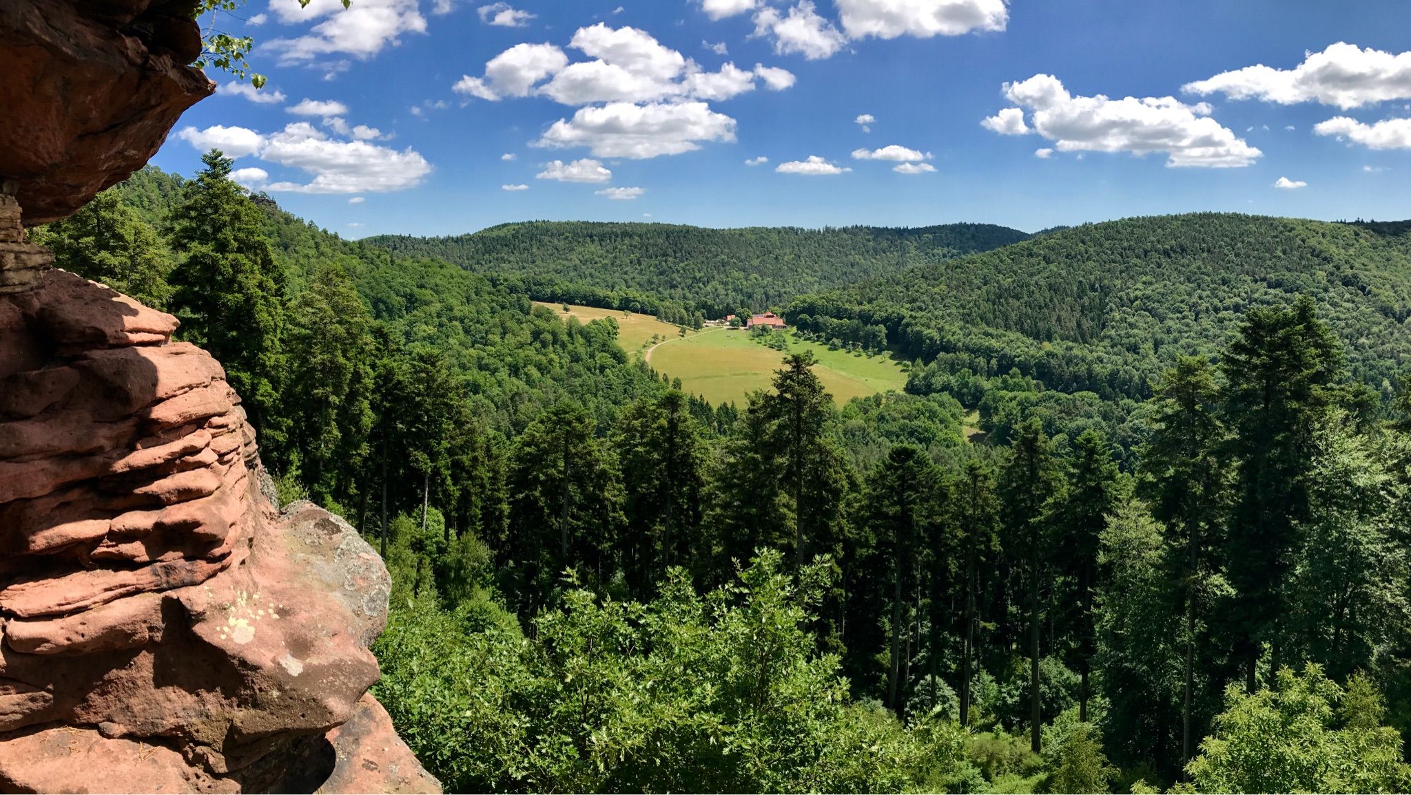
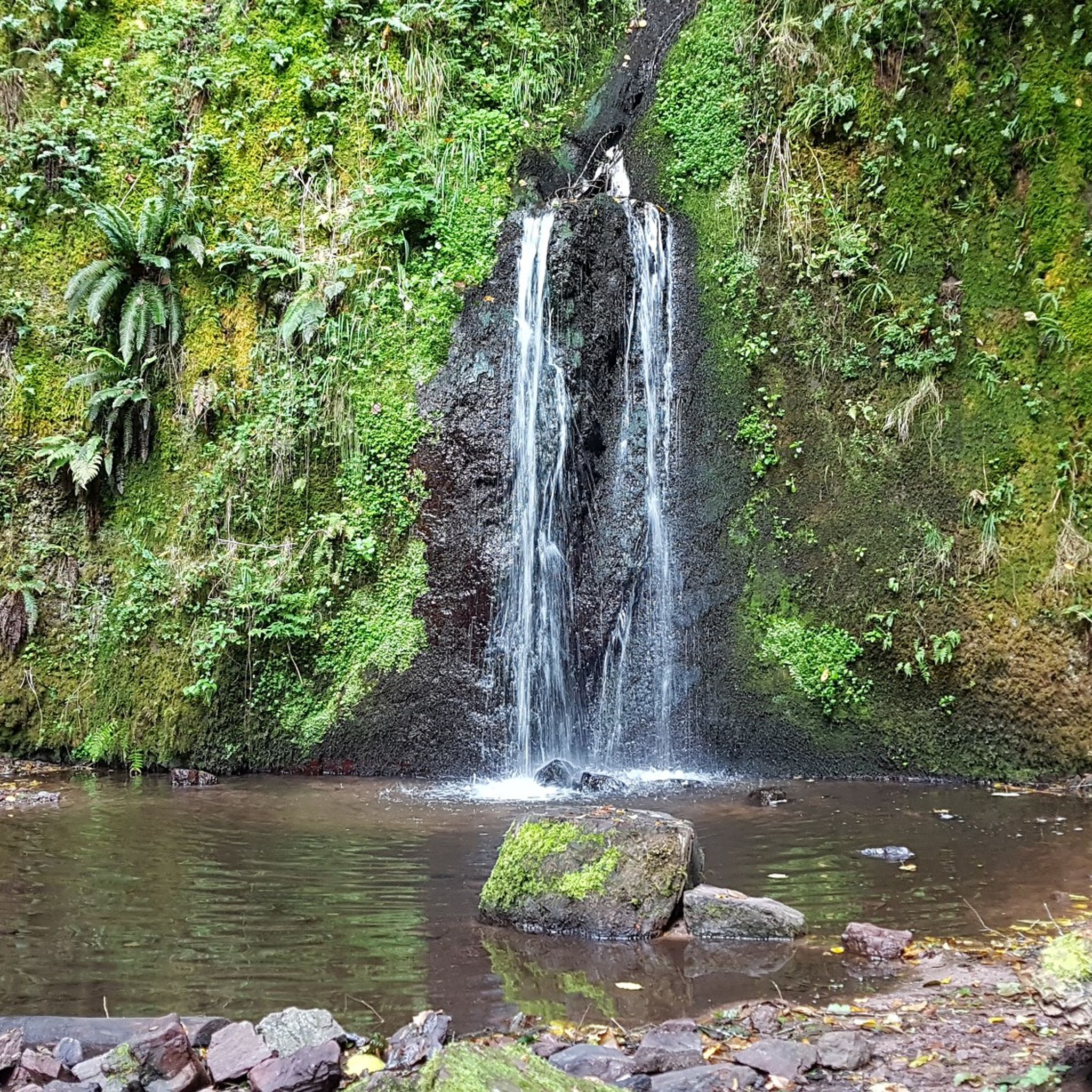
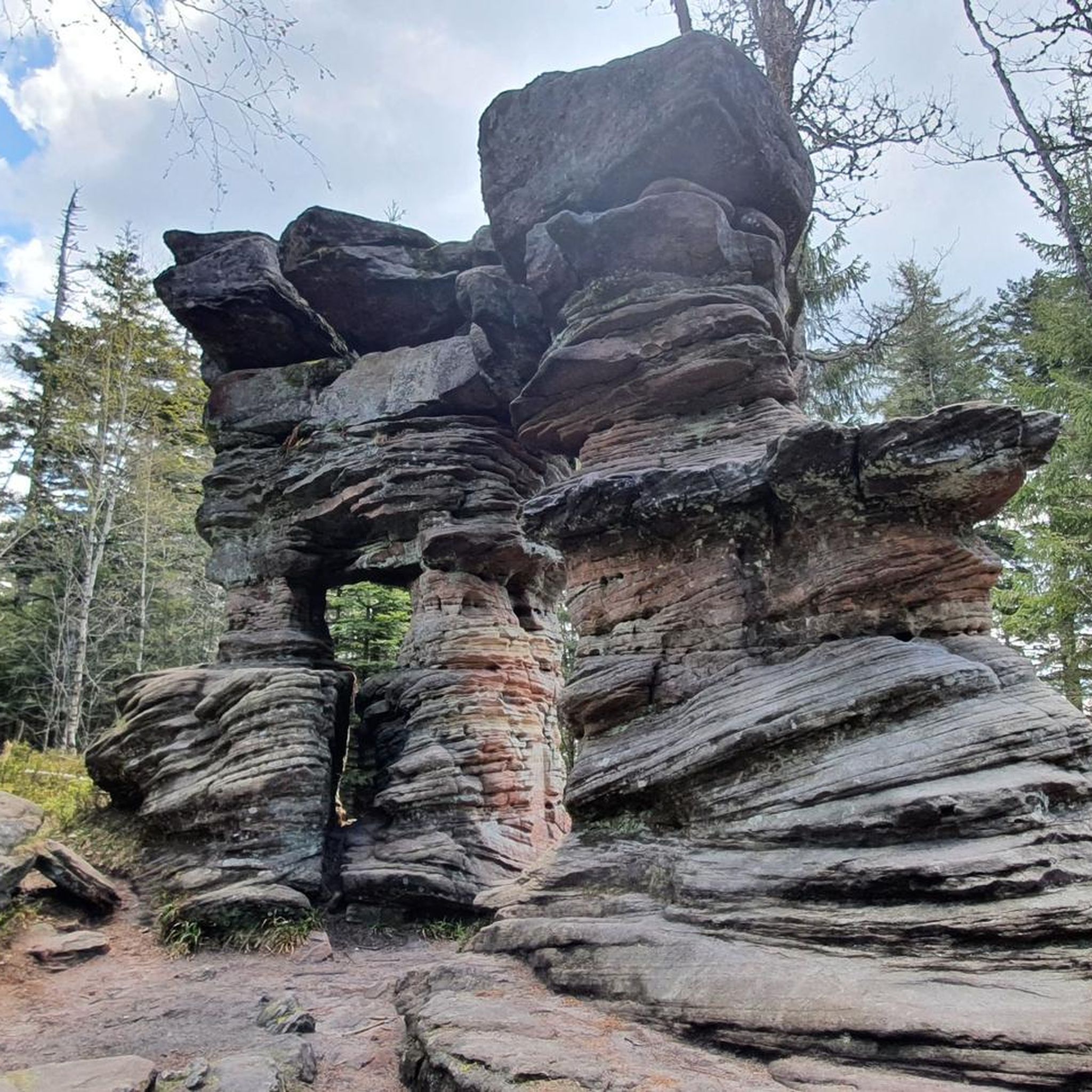
Mountain biking around Urmatt offers varied terrain at the gateway to the Bruche and Hasel valleys, nestled within the Vosges mountains. The landscape features undulating hills, dense forests, and significant elevation changes, providing diverse challenges for mountain bikers. Trails range from easy forest roads to more demanding paths with unpaved segments. This region is characterized by its natural features, including waterfalls and prominent rock formations.
Best mountain bike trails around Urmatt
- The most popular mountain bike trail is Rocher de…
Last updated: October 9, 2026
4.2
(18)
64
riders
34.5km
03:51
1,100m
1,100m
Hard mountain bike ride. Very good fitness required. Advanced riding skills necessary.
4.6
(5)
42
riders
38.1km
03:51
950m
950m
Hard mountain bike ride. Very good fitness required. Suitable for all skill levels.

4.8
(6)
35
riders
45.9km
04:21
1,150m
1,150m
Hard mountain bike ride. Very good fitness required. Advanced riding skills necessary. Some portions of the route may require you to push your bike.
5.0
(2)
21
riders
94.0km
08:56
2,430m
2,430m
Hard mountain bike ride. Very good fitness required. Advanced riding skills necessary.
4.0
(2)
20
riders
38.1km
03:36
670m
670m
Moderate mountain bike ride. Good fitness required. Suitable for all skill levels.
Get access to more routes and recommendations from other explorers.
Already have an account?
Our route recommendations are based on thousands of hikes, rides, and runs completed by other people on komoot.
Start today with a free account
Your next adventure awaits.

Other adventures around Urmatt

Tips from the Community

The Odilienberg (763 m) in Alsace is the most important spiritual center of the region. Founded around 690 by Saint Odilia, the monastery attracts hundreds of thousands of pilgrims annually. The centerpiece of the complex is the Basilica of the Assumption of Mary (1687–1692) with the burial chapel, where the relics of the patron saint rest in an 8th-century sandstone sarcophagus. Directly on the panoramic terrace are the Chapel of Tears and the Chapel of Angels (12th century), known for their luminous gold mosaics from 1935. Inside the basilica, there is also a fine wooden inlaid Way of the Cross by Charles Spindler. Below the monastery rocks runs a magnificent hiking trail. It leads past the monumental, colorful ceramic Way of the Cross (14 stations) and the Lourdes Grotto, both integrated directly into the red sandstone by Léon Elchinger in the 1930s. About a 15-minute walk further down, the Odilien spring emerges in the forest, its water traditionally sought for eye ailments. The entire mountain plateau is enclosed by the Heidenmauer, a mysterious, 11-kilometer-long prehistoric defensive wall. Following the hiking trails further south, you reach the Maennelstein (817 m), the highest point of the ridge, which offers a wide panoramic view over the Rhine plain to the Black Forest. The monastery grounds are open all year round and admission is free. Would you like to use this short text for a brochure or are you still looking for information on how to get there for your tour? AI answers may contain errors. For legal advice, you should consult an expert. More information
0
1
The monumental ceramic Way of the Cross on Mont Sainte-Odile (French: Chemin de Croix du Mont Sainte-Odile) was created between 1933 and 1935 by the renowned Alsatian artist and master ceramicist Léon Elchinger (1871–1942). From an art historical perspective, it is considered one of the most significant and ambitious masterpieces of sacred ceramic art in Alsace.
0
0
Beautiful viewpoint of the Rhine valley and the Black Forest. The Panoramafelsen is located at 780 m.
0
0

A place with a very special atmosphere.
0
0

At kilometer 20 the path is impassable too dangerous there are big stones and roots you often have to get off the bike it's more strenuous than enjoyable
0
0

beautiful path below the impressive rocks
2
0


Frequently Asked Questions
What kind of terrain can I expect on mountain bike trails around Urmatt?
The mountain bike trails around Urmatt offer varied terrain, characteristic of the Vosges mountains and the Bruche and Hasel valleys. You'll find undulating hills, dense forests, and significant elevation changes. Trails range from easy forest roads to more demanding paths with unpaved segments, catering to different skill levels.
Are there mountain bike trails suitable for beginners or families in Urmatt?
Yes, Urmatt offers trails for various skill levels. While many routes feature challenging climbs and unpaved sections, there are also easier forest paths. For example, the Soultzbach Waterfall – Rosinel Felse loop from Urmatt is an easy 14.4 km route that takes less than 1.5 hours to complete, making it a good option for those seeking a less strenuous ride.
Are there any notable natural features or landmarks to see while mountain biking around Urmatt?
Absolutely. The region is rich in natural beauty and historical sites. You can encounter the impressive Nideck Waterfall, or explore routes that pass by the Ruins of Guirbaden Castle and Wangenbourg Castle. The Stone Gate – Soultzbach Waterfall loop from Urmatt is a moderate route that takes you past both the Stone Gate and the scenic Soultzbach Waterfall.
Can I reach the Rocher de Mutzig by mountain bike?
Yes, the Rocher de Mutzig, a prominent rock formation at 1010 meters, is accessible via mountain bike trails. A challenging route like the Rocher de Mutzig Viewpoint – Stone Gate loop from Mullerhof will take you to its viewpoint, offering breathtaking views. Another option is the longer Mutzig Rock – Donon Summit and Temple loop from Mullerhof, which explores higher elevations and the surrounding Vosges landscape.
How many mountain bike trails are available in Urmatt?
There are over 20 mountain bike trails around Urmatt, offering a diverse range of experiences. These include 5 easy routes, 14 moderate routes, and 4 difficult routes, ensuring options for various skill levels and preferences.
What do other mountain bikers enjoy most about mountain biking in Urmatt?
The area is highly rated by the komoot community, with an average score of 4.2 stars from over 130 reviews. Reviewers often praise the varied terrain, the stunning natural features like waterfalls and rock formations, and the network of trails that cater to different abilities, from easy forest paths to challenging climbs.
Are there any circular mountain bike routes in Urmatt?
Yes, many of the mountain bike trails around Urmatt are designed as loops, allowing you to start and finish at the same point. Examples include the Rocher de Mutzig Viewpoint – Stone Gate loop from Mullerhof and the Pandours Pass (662 m) – Mont Sainte-Odile Abbey loop from Mullerhof, which is a longer, more challenging option.
Is Urmatt well-connected by public transport for mountain bikers?
Urmatt is noted as an excellent starting point for cycling adventures, with some routes, like the B05 circuit, beginning directly at the Urmatt train station. This suggests good accessibility by public transport, allowing riders to reach trailheads without a car.
What is the best time of year to go mountain biking in Urmatt?
The region's undulating landscape and forest trails are generally enjoyable throughout the warmer months. Spring and autumn offer pleasant temperatures and vibrant scenery. While specific seasonal considerations for mountain biking aren't detailed, the Vosges mountains can experience snowfall in winter, which might limit trail access during those months.
Are there any historical sites or castles accessible by mountain bike around Urmatt?
Yes, the region around Urmatt is dotted with historical sites and castles. You can find routes that pass near or lead to places like the Rathsamhausen Castle, the Ruins of Nideck Castle, and the Ruins of Guirbaden Castle. These offer interesting stops and scenic views during your ride.
Are there any specific challenges or technical features on the trails?
The trails around Urmatt offer a mix of challenges. While some are easy forest paths, others are more demanding, featuring unpaved segments, significant elevation changes, and requiring good to very good fitness. The difficult routes, such as those leading to the Rocher de Mutzig or the Donon Summit, involve substantial climbs and descents.
Can I rent e-bikes in Urmatt?
Yes, the region around Urmatt offers services like e-bike rentals. This can be a great option for those who wish to explore the more challenging terrain or cover longer distances with a bit of assistance.
Most popular attractions around Urmatt

Get inspired with the komoot mobile app


Explore more
Browse the best MTB trails in other regions.
