The best gravel rides around Niederburbach
4.5
(24)
324
riders
34
rides
Gravel biking around Niederburbach offers a diverse landscape for riders. The region features a mix of valley paths, significant mountain passes, and routes around local water bodies like dams and lakes. Terrain varies from gentle valley floors to challenging ascents, providing a range of experiences for gravel cyclists.
Best gravel bike trails around Niederburbach
- The most popular gravel bike trail is Le vallon du Steinbach, a 6.9 miles (11.1 km) trail that takes 55 minutes to complete. This route…
Last updated: October 19, 2026
11.1km
00:55
110m
120m
Moderate gravel ride. Great for any fitness level. Some segments of this route may be unpaved and difficult to ride.
4.2
(6)
56
riders
52.7km
03:56
1,260m
1,260m
Hard gravel ride. Very good fitness required. Mostly paved surfaces. Suitable for all skill levels.

4.5
(2)
23
riders
35.5km
03:03
1,170m
1,170m
Hard gravel ride. Very good fitness required. Mostly paved surfaces. Suitable for all skill levels.
5.0
(1)
18
riders
74.2km
05:09
1,300m
1,300m
Hard gravel ride. Very good fitness required. Mostly paved surfaces. Suitable for all skill levels.
4.0
(1)
6
riders
27.0km
01:53
330m
330m
Moderate gravel ride. Good fitness required. Mostly paved surfaces. Suitable for all skill levels.
Get access to more routes and recommendations from other explorers.
Already have an account?
Our route recommendations are based on thousands of hikes, rides, and runs completed by other people on komoot.
Start today with a free account
Your next adventure awaits.

Tips from the Community

The bare mountain lends itself to beautiful panoramas.
6
0
When you drive from the Route des Crêtes towards Le Grand Ballon, you pass the Col du Haag (1233 m) almost unnoticed. Yet, this pass marks a special point on the southern flank of the highest mountain in the Vosges. Here, steep roads from the Thurdal leave the wooded slopes and reach the open heights of the massif. From the col, a typical Vosges landscape unfolds with mountain meadows, scattered farms, and sweeping views. The proximity of the Grand Ballon is felt everywhere: the imposing summit towers above the pass and forms the natural goal of the final climbing kilometers. For cyclists, the Col du Haag is mainly known as the point where difficult climbs from the valleys converge before the road continues to rise to the highest point of the Vosges.
6
0

sensational view up to the Alps.
1
0

This old chapel was erected after the French Revolution on the old path to Thann and fell into disrepair over time. In 1932, the community decided to rebuild it. The current small building has a simple nave, an open porch, and a small bell tower with a bell. In front of the chapel stands a statue of the Virgin Mary, which underscores the character of the place as a pilgrimage and devotional site. The chapel is dedicated to the "Mother of God of Perpetual Help" and belongs to the typical small religious monuments of southern Alsace.
1
0

beautiful path to the summit
0
0

The 14th stage led up here to Le Haag and on to the finish at Le Markstein. You could experience the athletes up close.
0
0
Frequently Asked Questions
How many gravel bike trails are available in Niederburbach?
Niederburbach offers a good selection of gravel bike trails, with over 35 routes to explore. These range from easier valley paths to challenging mountain ascents.
Are there easy gravel bike trails suitable for beginners in Niederburbach?
Yes, Niederburbach has several easy gravel bike trails perfect for beginners. For instance, Le vallon du Steinbach is a moderate 6.9-mile (11.1 km) route that explores a scenic valley with relatively gentle gradients, taking about 55 minutes to complete.
What are the options for advanced gravel bikers looking for a challenge in Niederburbach?
Advanced riders will find plenty of challenging routes in Niederburbach, with 24 difficult trails available. A notable option is the Grand Ballon – Col Amic Pass loop from Steinbach, a demanding 32.8-mile (52.7 km) path featuring substantial climbs and panoramic views from mountain passes.
What kind of terrain can I expect on gravel bike trails in Niederburbach?
The terrain around Niederburbach is quite varied, offering a mix of scenic valley paths, challenging mountain passes, and routes around local water bodies like dams and lakes. You'll encounter everything from gentle valley floors to significant ascents.
Are there any circular gravel bike routes around Niederburbach?
Many of the gravel bike trails in Niederburbach are designed as loops. For example, the Michelbach Dam – Michelbach Lake loop from Aspach-le-Bas is a 17.1-mile (27.5 km) trail that takes you around the dam and lake, typically completed in about 2 hours 16 minutes.
What are some notable natural attractions or landmarks I can see while gravel biking in Niederburbach?
The region is rich in natural beauty and landmarks. You can encounter impressive mountain passes such as Climb to Col Amic or Hundsruck Pass. Some routes also offer views of significant peaks like Rossberg or Vogelstein (Bird Rock).
What do other gravel bikers say about the trails in Niederburbach?
The gravel biking routes in Niederburbach are highly regarded by the komoot community, holding an average score of 4.6 stars from more than 10 reviews. Riders often praise the diverse landscape, from scenic valleys to challenging mountain passes, and the well-maintained paths.
Are there family-friendly gravel bike trails in Niederburbach?
While specific 'family-friendly' designations aren't always available, the easier and moderate trails, particularly those in valleys with gentler gradients, can be suitable for families. Look for routes with lower elevation gain and shorter distances, such as those around the Michelbach Dam and Lake.
Where can I find parking for gravel biking in Niederburbach?
Many trailheads and popular starting points in and around Niederburbach, especially near towns like Steinbach or Aspach-le-Bas, offer designated parking areas. It's advisable to check the tour details on komoot for specific parking information for your chosen route.
Is it possible to access gravel bike trails in Niederburbach using public transport?
Public transport options vary by specific starting point. Some larger towns near popular trailheads may have bus or train connections. For detailed information on public transport access to a particular route, it's best to check local transport schedules and the starting point of your chosen tour on komoot.
What is the best time of year for gravel biking in Niederburbach?
The spring and autumn months generally offer the most pleasant conditions for gravel biking in Niederburbach, with milder temperatures and beautiful scenery. Summer can also be great, but be prepared for warmer weather, especially on exposed mountain sections. Winter riding is possible, but some higher passes might be inaccessible due to snow or ice.
Can I find gravel bike trails with cafes or refreshment stops in Niederburbach?
Many routes, especially those passing through or near villages and towns, will have opportunities for refreshment stops. For longer tours, like the Col Amic Pass – Climb to Col Amic loop from Burnhaupt-le-Haut, planning your stops in advance is recommended, as mountain passes might have fewer options. Check the komoot map for highlights like cafes or restaurants along your chosen path.
Are there any gravel bike trails near Niederburbach that pass by water bodies or dams?
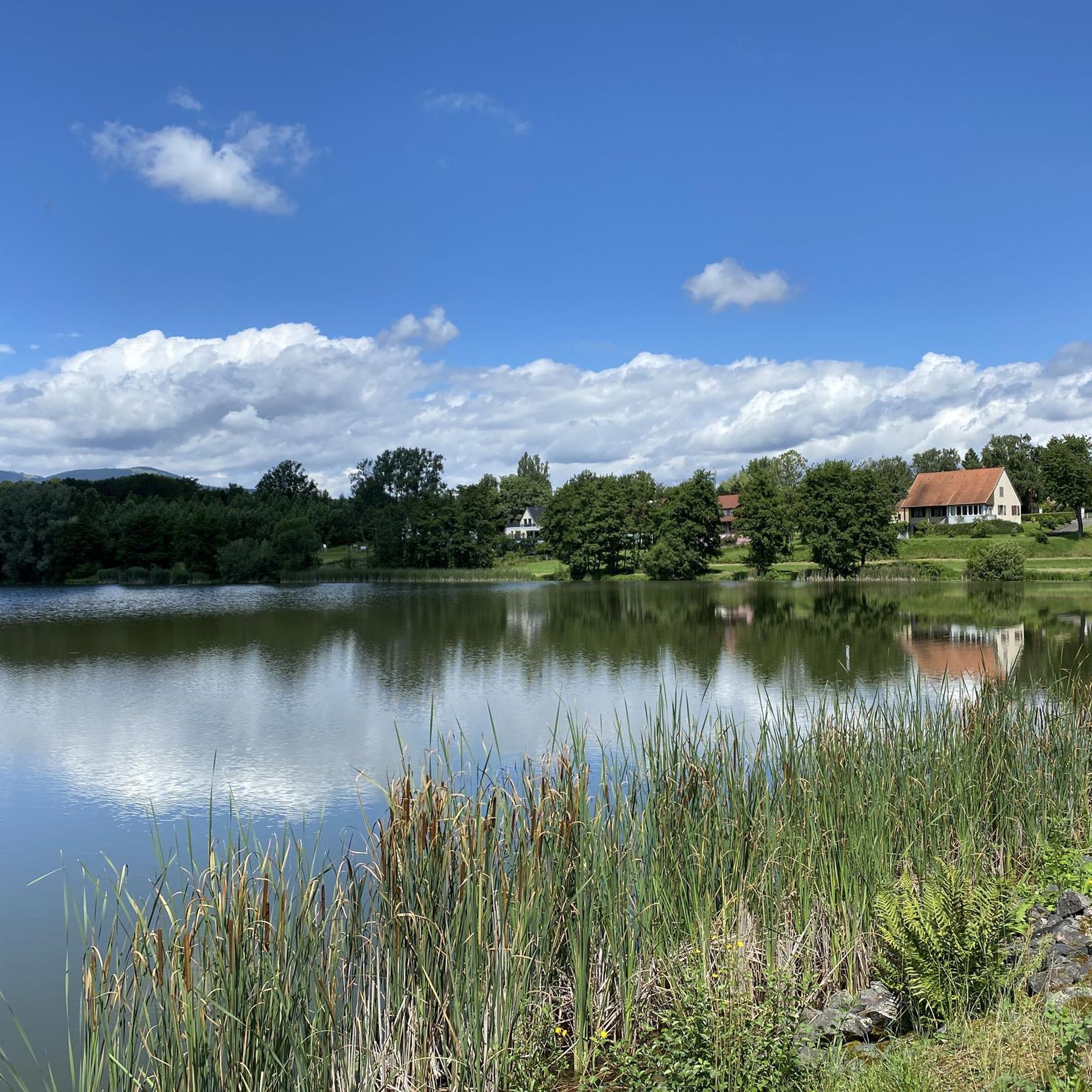
Yes, the region features several routes that incorporate local water bodies. The Michelbach Dam – Chapel of Rammersmatt loop from Thann is a great example, offering scenic views around the Michelbach Dam and Lake.
Most popular routes around Niederburbach
Most popular attractions around Niederburbach

Get inspired with the komoot mobile app


Explore more
Browse the best Gravel rides in other regions.
