The best walks and hikes around Niederburbach
4.6
(2025)
11,863
hikers
568
hikes
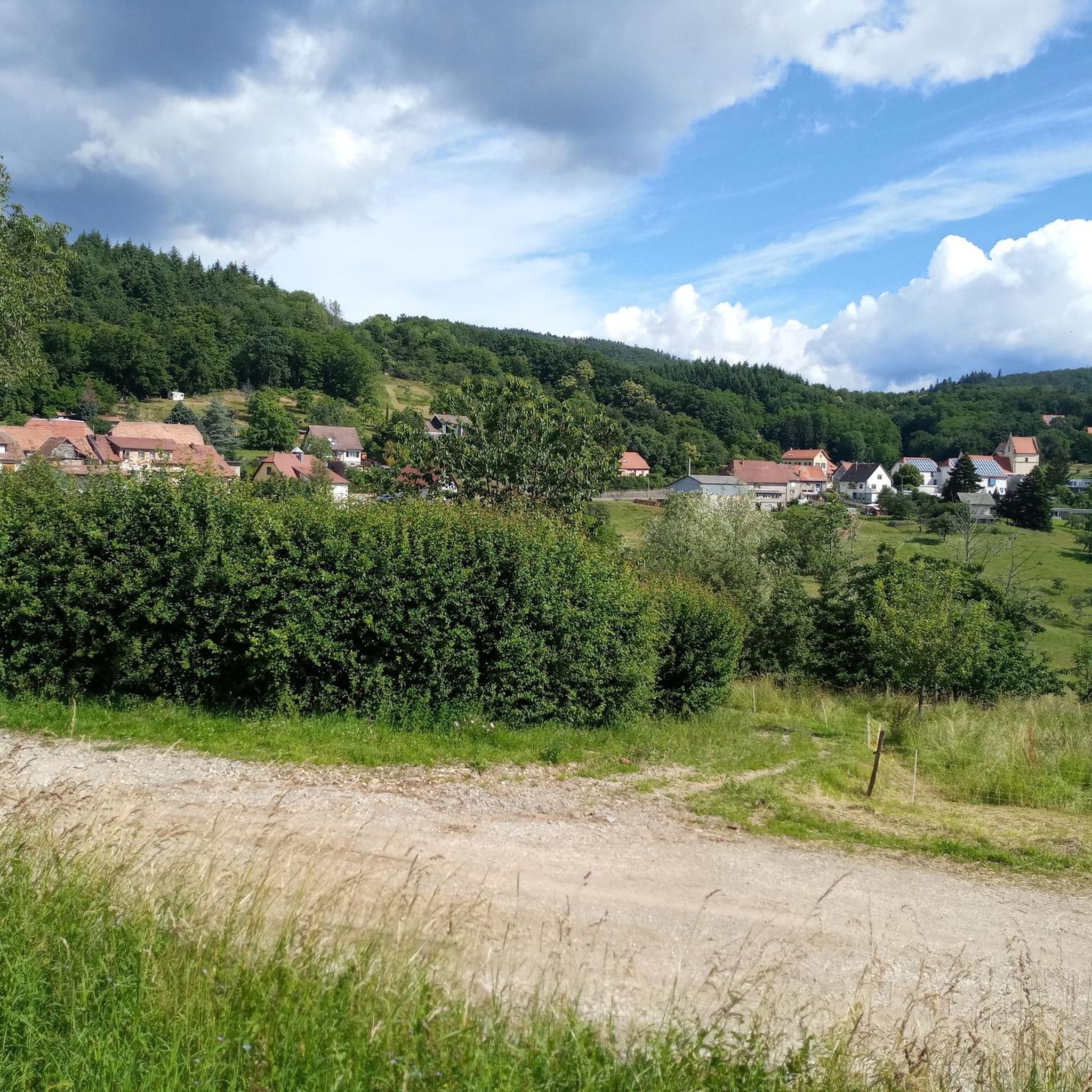
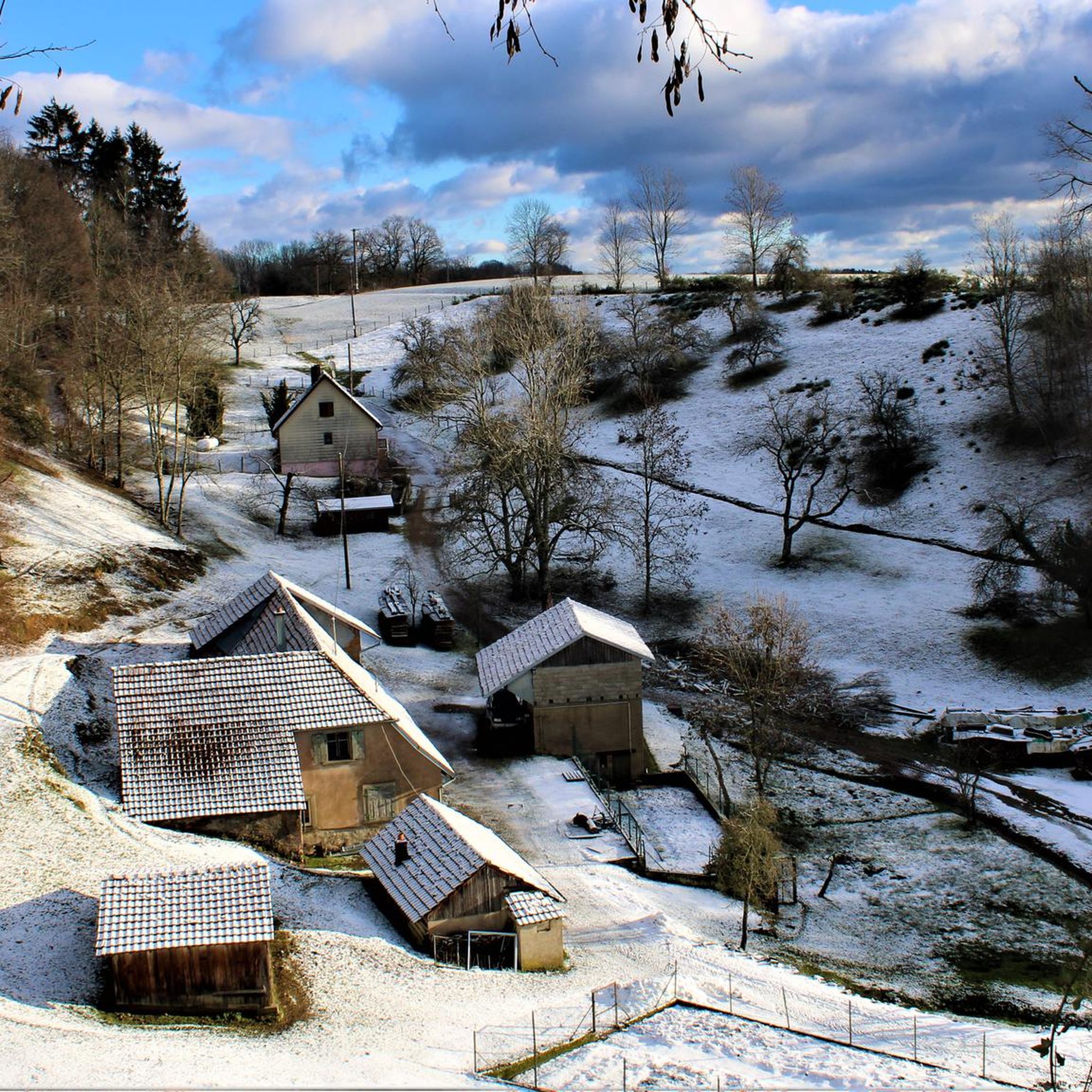
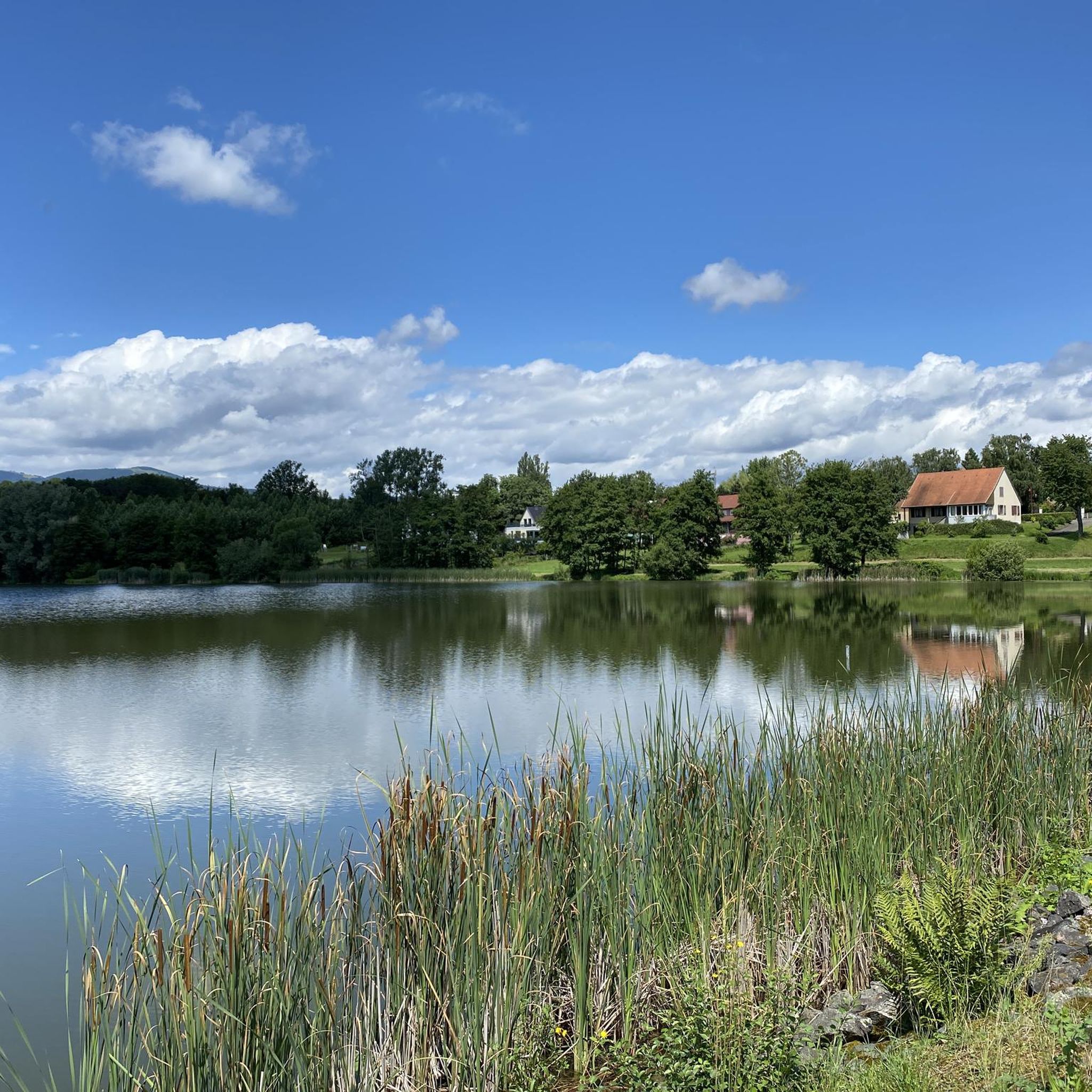
Hiking around Niederburbach offers access to the diverse landscapes of the Ballons des Vosges Regional Nature Park in eastern France. The region features lush green landscapes, dense forests, and rolling hills, with the Bourbach stream flowing nearby. Hikers can experience varied mountain scenery, including rounded peaks known as "ballons," alongside high-altitude pastures and extensive woodlands. This terrain provides a range of options for outdoor activities.
Best hiking trails around Niederburbach
- The most popular hiking route is Sentheim geological trail –…
Last updated: July 10, 2026
4.3
(8)
35
hikers
8.65km
02:21
120m
120m
Moderate hike. Good fitness required. Easily-accessible paths. Suitable for all skill levels.
5.0
(7)
33
hikers
5.57km
01:29
60m
60m
Easy hike. Great for any fitness level. Easily-accessible paths. Suitable for all skill levels.

Sign up for free
5.0
(3)
27
hikers
15.6km
05:01
680m
680m
Hard hike. Very good fitness required. Easily-accessible paths. Suitable for all skill levels.
4.4
(5)
21
hikers
12.3km
03:44
400m
400m
Moderate hike. Good fitness required. Easily-accessible paths. Suitable for all skill levels.
4.3
(6)
24
hikers
8.39km
02:09
40m
40m
Moderate hike. Good fitness required. Easily-accessible paths. Suitable for all skill levels.
Get access to more routes and recommendations from other explorers.
Sign up for free
Already have an account?
Our route recommendations are based on thousands of hikes, rides, and runs completed by other people on komoot.
Start today with a free account
Your next adventure awaits.
Login or Signup


Tips from the Community


Rocky viewpoint located in the immediate vicinity of the Hundsdruck pass.
0
0


A treat from the Thann Valley. Beautiful asphalt, a clear view of the Grand Balloon 🎈 in the first bends and accessible percentages. Perfect !
3
0

We, the Kemnather Land team, also tortured ourselves like crazy ;-) on our 4-day tour to Lörrach. It was nice!
2
1

The approach from Bitschwiller-lès-Thann has an elevation gain of 400 meters over 6.2 kilometers. A maximum gradient of 13%. But it is relatively uneven, so it is not that easy to ride.
1
2

Nice climb from Bitschwiller, nice road surface and nice profile
3
0

"Torment yourself, you sow!" Udo Bölt's helper is said to have yelled at his team captain Jan Ullrich on this rather second-rate pass at the 1997 Tour de France. It can no longer be determined exactly whether this is exactly the case, but at least the name of the pass "Hundsruck" actually fits the saying quite well and the website quaeldich.de, which has already been mentioned in another comment, also fits this cycling myth quite well.
4
0
Frequently Asked Questions
How many hiking trails are available around Niederburbach?
There are over 570 hiking trails around Niederburbach, offering a wide range of options for different preferences and skill levels. These include 224 easy routes, 260 moderate routes, and 88 difficult routes.
What types of landscapes can I expect to see while hiking in Niederburbach?
Hiking in Niederburbach offers diverse landscapes within the Ballons des Vosges Regional Nature Park. You'll encounter lush green forests, rolling hills, and varied mountain scenery, including the distinctive rounded peaks known as 'ballons.' The Bourbach stream flows nearby, adding to the scenic beauty, and you can also find high-altitude pastures and extensive woodlands.
Are there any easy, family-friendly hiking trails in Niederburbach?
Yes, Niederburbach has many easy trails suitable for families. One popular option is the First world war shelters loop from Sentheim, an easy 3.4-mile (5.5 km) path that passes by historical sites. The region offers 224 easy routes in total, providing plenty of choices for a relaxed outing.
What are some notable historical or geological sites to explore on a hike?
The region offers both historical and geological points of interest. You can explore the unique geological formations on the Sentheim geological trail – The Great Mine loop from Sentheim. For history enthusiasts, the First world war shelters loop from Sentheim passes by historical sites. Additionally, the area features historical mills, hinting at the region's past.
Are there any circular hiking routes available?
Yes, many of the trails around Niederburbach are circular. Examples include the Sentheim geological trail – The Great Mine loop from Sentheim, the First world war shelters loop from Sentheim, and the Panoramic view – Hundsruck Pass loop from Masevaux-Niederbruck. These loops allow you to start and end your hike at the same point.
What do other hikers say about the trails in Niederburbach?
The routes in Niederburbach are highly rated by the komoot community, with an average score of 4.6 stars from over 1,900 reviews. Hikers often praise the diverse mountain scenery, dense forests, and the extensive network of well-maintained trails suitable for various ability levels.
Are there any viewpoints or panoramic vistas along the hiking trails?
Yes, the region offers several excellent viewpoints. The Panoramic view – Hundsruck Pass loop from Masevaux-Niederbruck specifically highlights scenic vistas. You can also find panoramic views from historical sites like The Witch's Eye (Engelbourg Castle) and the Hundsruck Pass.
What is the best time of year to go hiking in Niederburbach?
The pleasant temperatures in spring and autumn make these seasons particularly ideal for hiking in Niederburbach. The lush green landscapes are vibrant, and the weather is generally comfortable for exploring the trails.
Are there any specific attractions or landmarks near the hiking routes?
Yes, several attractions are close to the hiking routes. You can visit The Witch's Eye (Engelbourg Castle), a 13th-century site with panoramic views. Other points of interest include Hundsruck Pass, Michelbach Lake, and the Col Amic. You can also find scenic paths along the Thur River and through vineyards.
Can I find trails that lead to higher elevations or mountain passes?
Absolutely. The region is part of the Ballons des Vosges Regional Nature Park, featuring diverse mountain scenery. Routes like the Panoramic view – Hundsruck Pass loop from Masevaux-Niederbruck lead through mountain terrain. You can also reach mountain passes such as Hundsruck Pass and Col Amic, which is situated below the Grand Ballon.
Are there any trails that follow rivers or go through vineyards?
Yes, you can find picturesque routes that follow the Thur River and wind through local vineyards. These paths offer a different scenic experience compared to the dense forests and mountain trails, providing opportunities for leisurely walks.
Most popular routes around Niederburbach
Most popular attractions around Niederburbach

Get inspired with the komoot mobile app


Explore more
Browse the best Hikes in other regions.
