The best gravel rides around Valdilecha
40
riders
11
rides
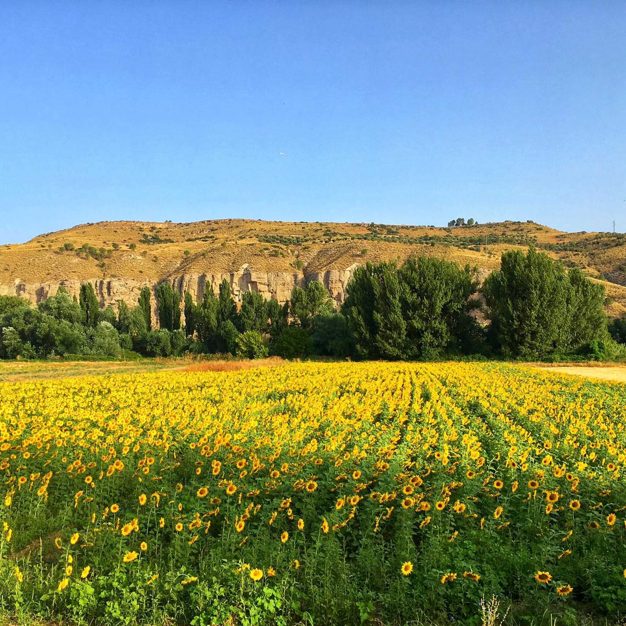
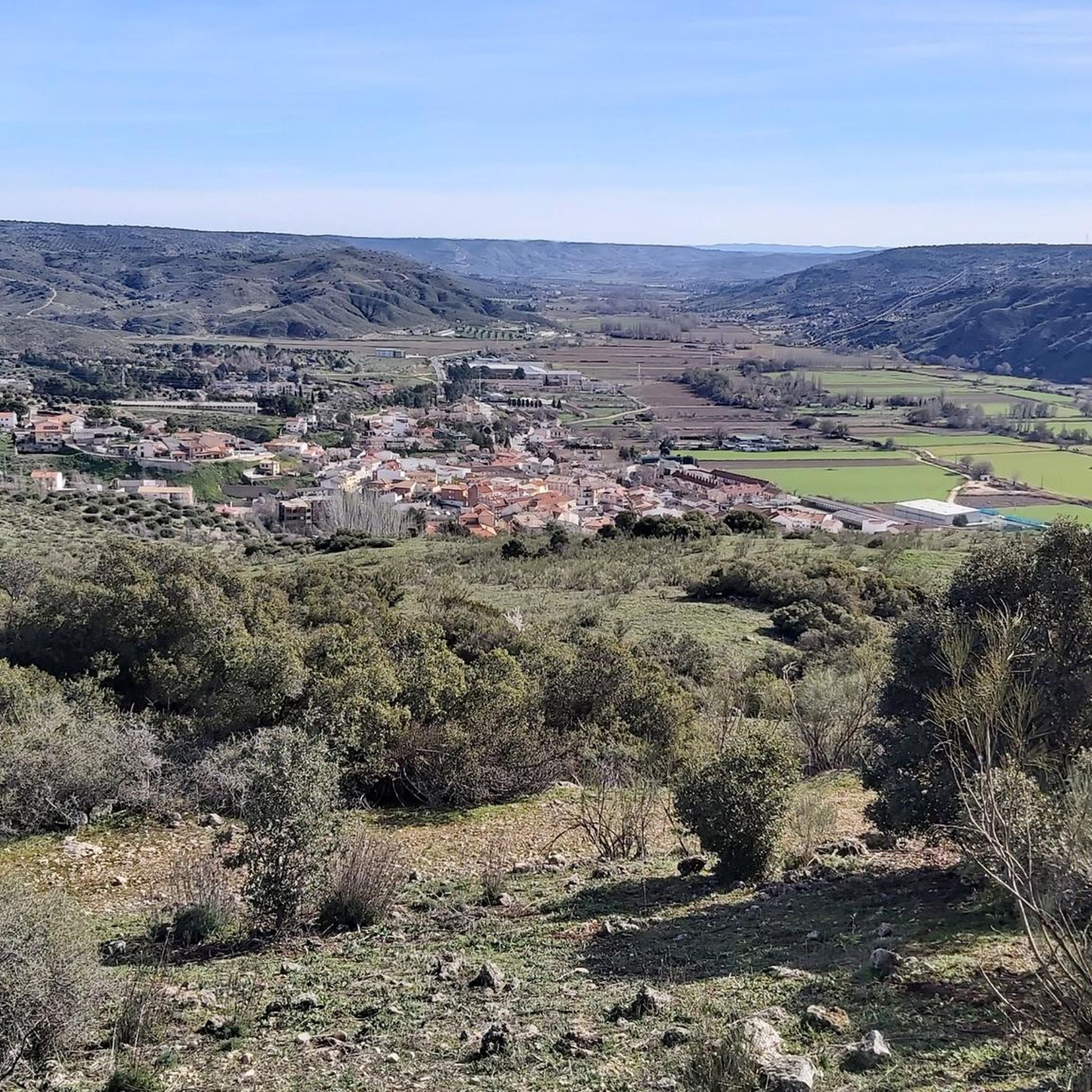
Gravel biking around Valdilecha offers a diverse natural landscape with an extensive network of paths. The terrain features both expansive plains and an uneven valley relief, including hills and ravines. This varied topography provides a mix of gentle and more challenging routes, ideal for exploring the region's vineyards, olive groves, and natural surroundings. The area's rural roads and existing networks of paths are well-suited for gravel biking.
Best gravel bike trails around Valdilecha
- The most popular gravel bike trail is…
Last updated: July 2, 2026
7
riders
Hard gravel ride. Very good fitness required. Mostly paved surfaces. Suitable for all skill levels.
8
riders
63.3km
04:31
550m
550m
Hard gravel ride. Very good fitness required. Mostly paved surfaces. Suitable for all skill levels.

Sign up for free
4
riders
57.0km
04:10
530m
530m
Hard gravel ride. Very good fitness required. Mostly paved surfaces. Suitable for all skill levels.
6
riders
50.1km
03:32
280m
280m
Moderate gravel ride. Good fitness required. Mostly paved surfaces. Suitable for all skill levels.
4
riders
106km
07:51
1,220m
1,220m
Hard gravel ride. Very good fitness required. Mostly paved surfaces. Suitable for all skill levels.
Get access to more routes and recommendations from other explorers.
Sign up for free
Already have an account?
Our route recommendations are based on thousands of hikes, rides, and runs completed by other people on komoot.
Start today with a free account
Your next adventure awaits.
Login or Signup
Tips from the Community

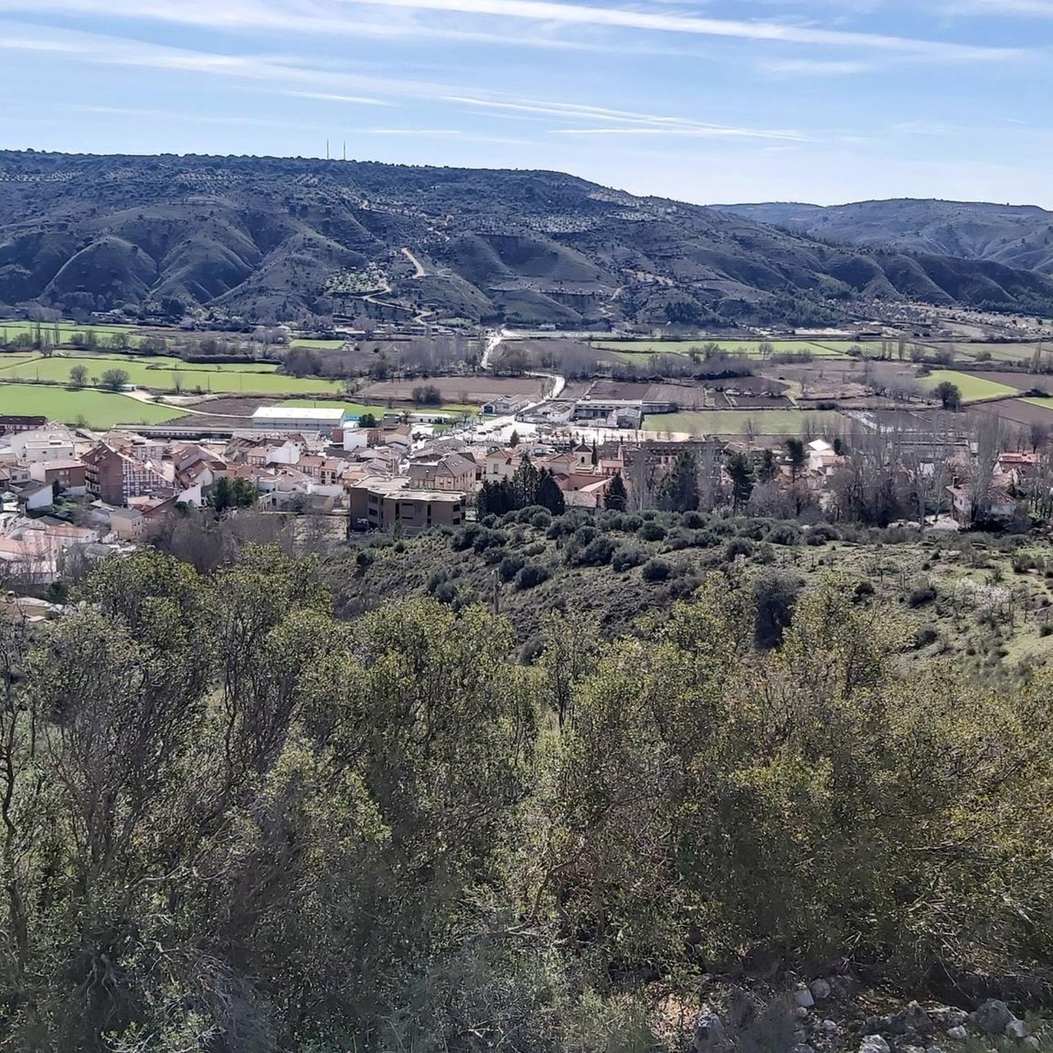
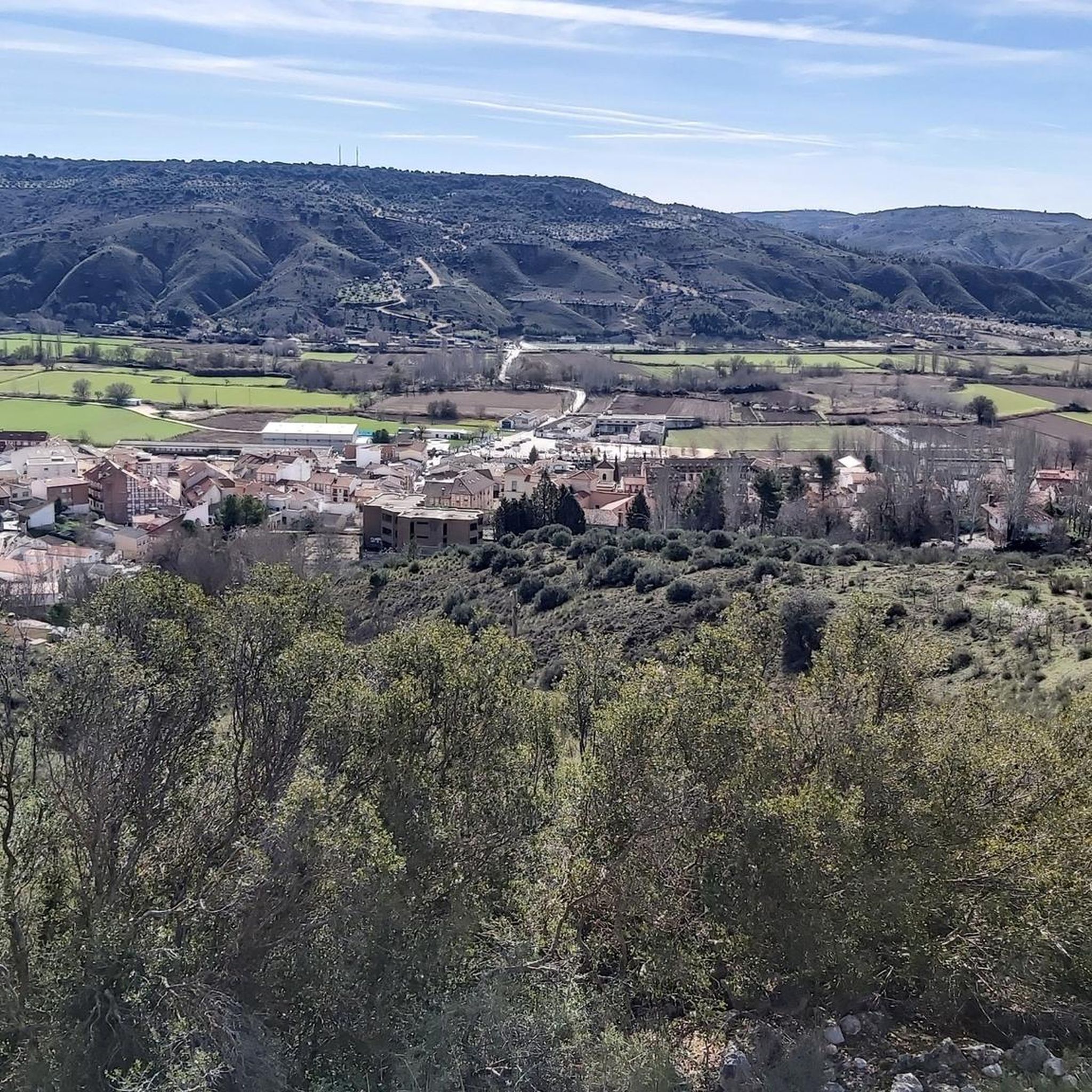
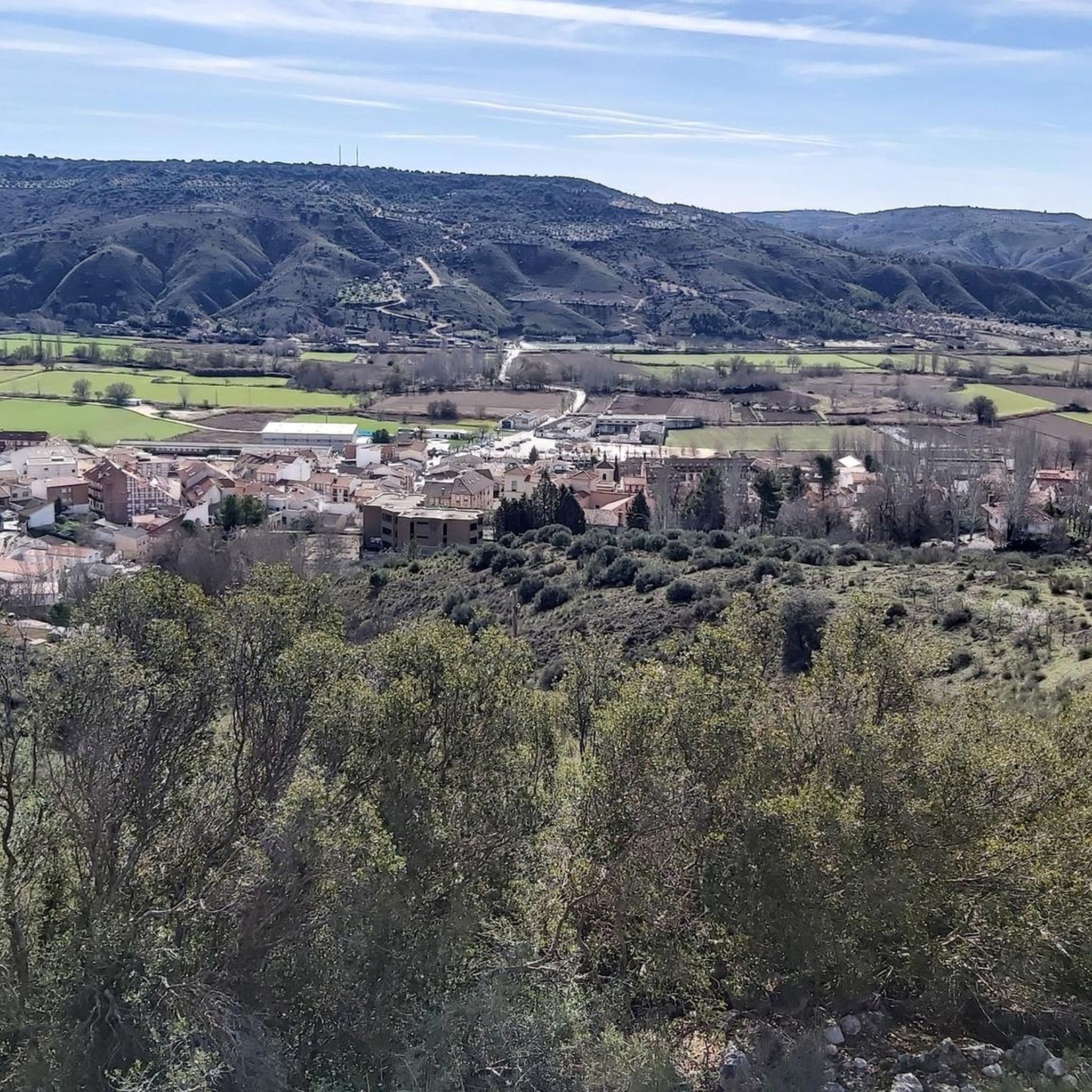
Views of the Jarama River and the cliffs with some machine gun nests from the Civil War.
0
0

Be careful because the recent rains have caused a new landslide next to the previous one, and the road was closed by forest rangers.
1
0

The Campillo Lagoon is located in Rivas Vaciamadrid, within the Southeast Regional Park, about 20 km from Madrid. It is a protected natural area, ideal for peaceful walks and outdoor activities. Origin: Artificial, formed in the 1960s and 70s after the extraction of aggregates in the Jarama River basin. Water from the aquifer filled the excavations and over time became a wetland with great biodiversity.
6
0
The Campillo Lagoon is located in Rivas Vaciamadrid, within the Southeast Regional Park, about 20 km from Madrid. It is a protected natural area, ideal for peaceful walks and outdoor activities. Origin: Artificial, formed in the 1960s and 70s after the extraction of aggregates in the Jarama River basin. Water from the aquifer filled the excavations and over time became a wetland with great biodiversity.
4
0

The Campillo Lagoon is located in the Southeast Regional Park, in the Spanish municipality of Rivas-Vaciamadrid, in the Community of Madrid. Its origin lies in the former gravel quarrying that took place in the Jarama River basin during the 1960s and 70s. Excavation went below the water table, and when quarrying ceased and the surrounding area was restored, this lagoon emerged, measuring approximately 4 kilometers in diameter and covering 35 hectares. After El Porcal Lagoon, it is the largest lagoon in the Southeast Regional Park. A peaceful place to relax, with numerous benches.
2
1

Beautiful views to stop for a while and enjoy the peace of the moment, accompanied by the extensive views that can be seen from this place.
0
0

The collapse, despite its few meters, a mix of hiking and carrying that raises the heart rate of even the most experienced, always offers one of the most picturesque views of the Madrid region near the capital: the confluence of the Manzanares and Jarama rivers, the Presa del Rey, a privileged panoramic view over parts of Rivas and Arganda, facing the mountains where much of the Battle of Jarama took place, and of course the cliffs. Having passed by there many times, it never leaves me indifferent.
0
0

For the beautiful surroundings and landscape just a stone's throw from Madrid.
1
0
Frequently Asked Questions
How many gravel bike trails are available around Valdilecha?
There are 12 gravel bike trails around Valdilecha, offering a diverse range of experiences. These include 7 moderate routes and 5 more challenging, difficult routes.
What kind of terrain can I expect on gravel bike trails in Valdilecha?
Valdilecha's gravel trails feature a diverse topography, combining expansive plains with uneven valley relief, including rolling hills and ravines. You'll ride through agricultural lands with vineyards and olive groves, and along networks of paths that crisscross both flat and more challenging terrain. This mix provides a dynamic and visually interesting environment for cyclists.
Are there any family-friendly gravel routes in Valdilecha?
While the guide primarily features moderate to difficult routes, the region's network of paths and diverse topography means there are areas suitable for various skill levels. For a moderate option that might be more accessible, consider the Campillo Lagoon – Laguna del Campillo loop from Arganda del Rey, which is 36 km long and features less elevation gain compared to other routes.
What are some challenging gravel routes for experienced riders?
For experienced gravel bikers seeking a challenge, routes like the Morata de Tajuña Town Square – El Cuestarrón loop from Arganda del Rey offer significant elevation gain over 56.7 km. Another difficult option is the Jarama Canyon – Titulcia Main Square loop from Arganda del Rey, which covers 63.8 km through varied landscapes.
What natural features or landmarks can I see along the gravel routes?
The region offers several interesting natural features and landmarks. You might encounter rocky outcrops like "Peña del Reloj" or the large rock formation "La Dehesilla" with its natural caves. The area also boasts a magnificent pine forest, a large chasm called "La Carcava" with panoramic views, and the Valhondo Valley. Additionally, you can explore the Geology of the Tajuña Valley Landscape and the Geological Landscape of the Valdemembrillo Stream.
Are there any historical sites or points of interest near the trails?
Yes, there are several historical and cultural points of interest. You can visit the Goyeneche Palace of Nuevo Baztán, explore the Civil War Caves, or see the Chapel of the Holy Children. The Tajuña Greenway Section also offers a pleasant ride through the region's history.
What do other gravel bikers say about the trails in Valdilecha?
The gravel biking routes in Valdilecha are highly rated by the komoot community, with an average score of 4.3 stars from 3 reviews. Over 90 gravel bikers have used komoot to explore the varied terrain, often praising the diverse landscapes and the mix of gentle and challenging paths.
Are there any circular gravel routes available?
Many of the gravel routes in the Valdilecha area are designed as loops. For example, the popular Tajuña Greenway – View of Ambite loop from Perales de Tajuña is a 61 km circular trail. Another option is the Morata de Tajuña Town Square – Tajuña Greenway loop from Arganda del Rey, which is a 56.8 km loop.
What is the best time of year for gravel biking in Valdilecha?
While specific seasonal recommendations are not provided, regions with similar Mediterranean climates often offer pleasant biking conditions in spring and autumn, when temperatures are milder. Summer can be very hot, and winter might bring cooler, potentially wetter weather. Always check local forecasts before your ride.
Are there any facilities like picnic spots or water sources along the trails?
Yes, the region research mentions a magnificent pine forest resulting from reforestation, which offers a shaded area equipped for picnics and rest. This area is adjacent to the "El Rejal" spring, combining shade and water, making it a pleasant stop for outdoor activities. You might also find the La Oliva fountain.
What kind of wildlife might I encounter while gravel biking?
The region supports a variety of wildlife. In the plains, you might spot partridges and great bustards. In the more intricate relief areas, rabbits and even foxes can be found. Hares are also common throughout the area.
Are there any less crowded gravel trails in Valdilecha?
Valdilecha is described as having an extensive network of paths, many of which are primarily used for agricultural transport. This suggests that many of these paths, especially those away from the main greenways, could offer a quieter experience. Exploring the paths through vineyards and olive groves might lead to less crowded sections.
Most popular attractions around Valdilecha

Get inspired with the komoot mobile app


Explore more
Browse the best Gravel rides in other regions.
