The best gravel rides around Donhead St. Mary
4.0
(2)
38
riders
13
rides
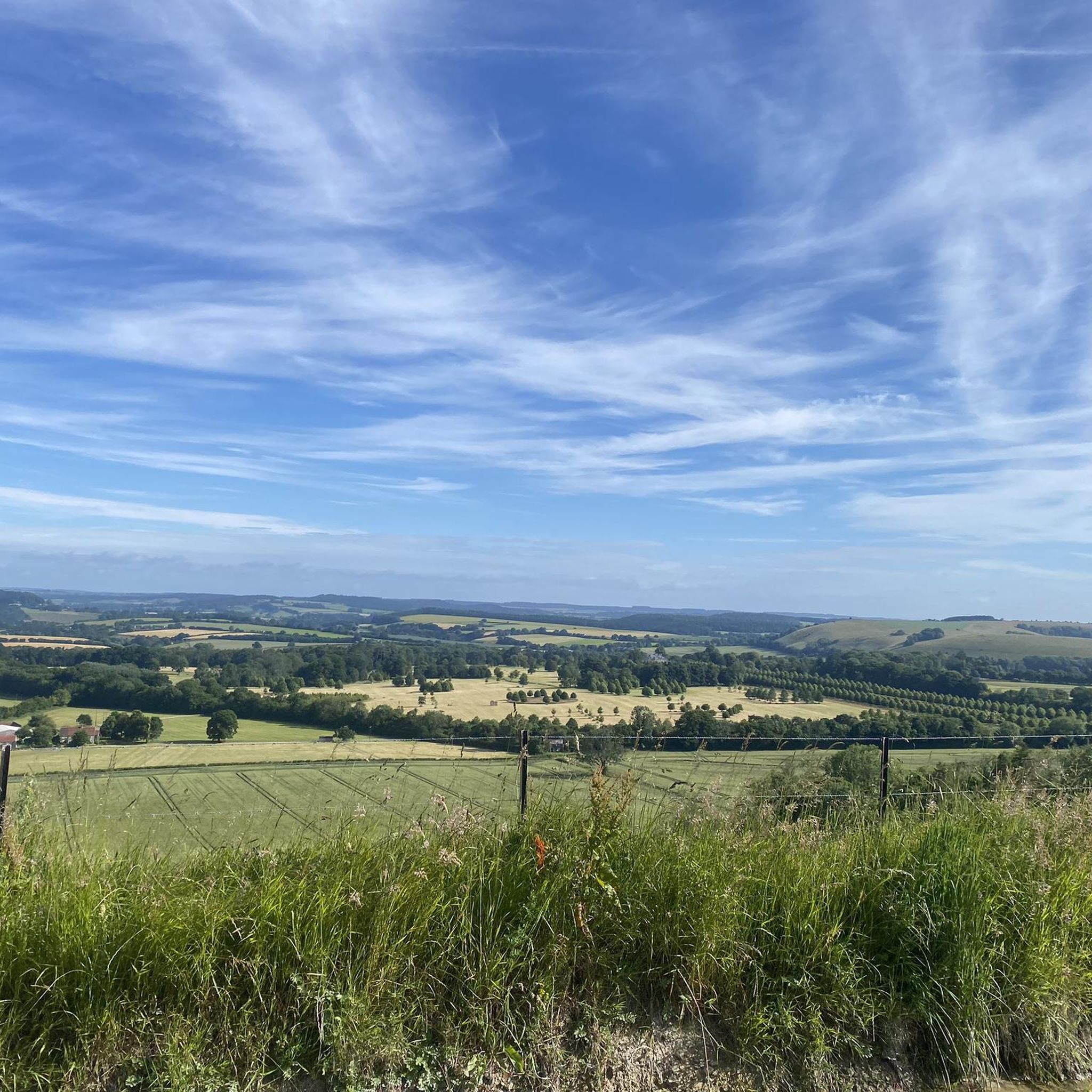
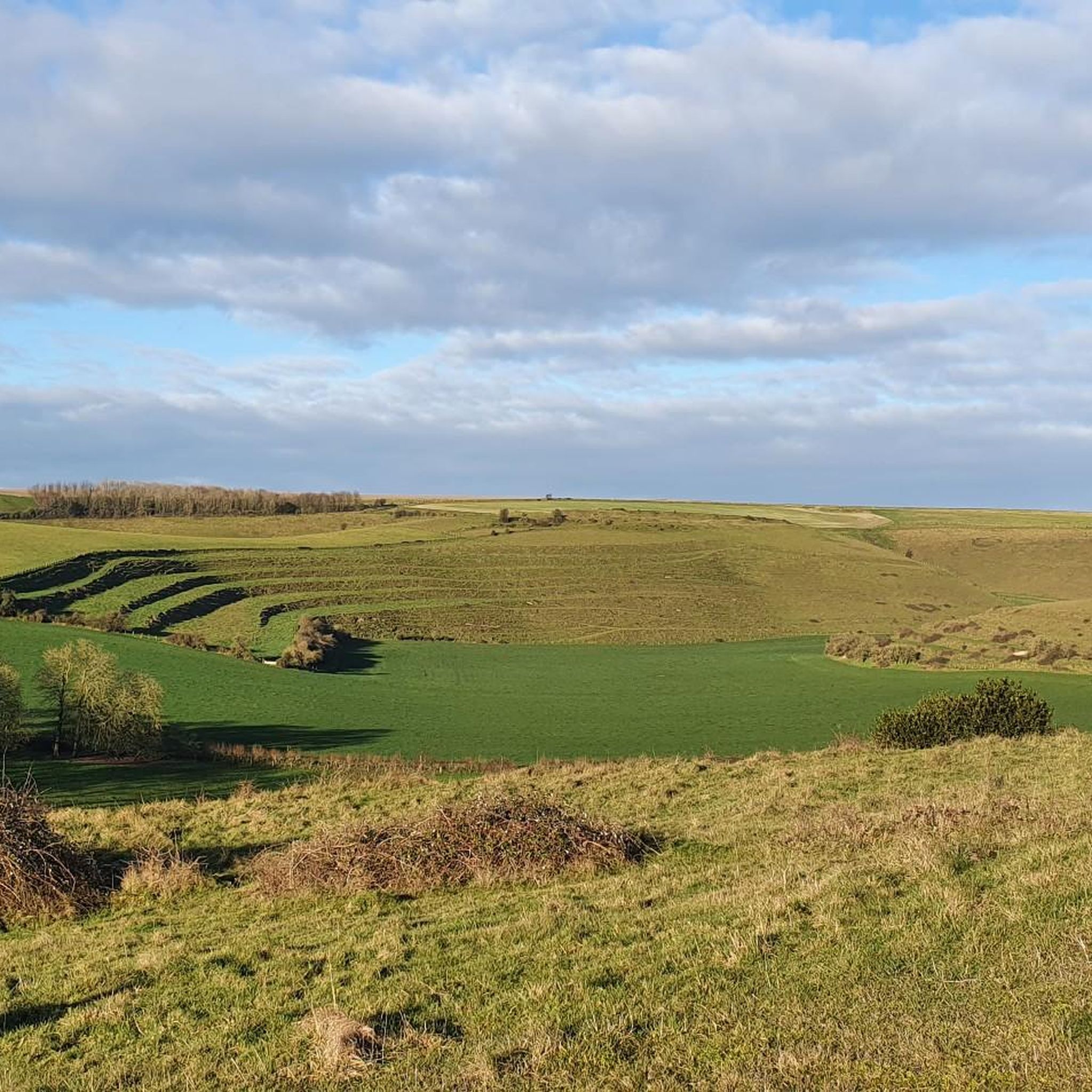
Gravel biking around Donhead St. Mary offers diverse landscapes across southwest Wiltshire, characterized by chalk downland, ancient woodlands, and river valleys. The terrain features a mix of quiet lanes, unmade tracks, and rugged field edges, providing varied surfaces for cyclists. Significant elevation changes are present, with routes often including steep hills and panoramic viewpoints over areas like Blackmore Vale and Salisbury Plain. The region is situated within the Cranborne Chase and West Wiltshire Downs Area of Outstanding Natural Beauty.
Best…
Last updated: July 3, 2026
4
riders
104km
06:53
1,040m
1,040m
Hard gravel ride. Very good fitness required. Mostly paved surfaces. Suitable for all skill levels.
5
riders
Hard gravel ride. Very good fitness required. Mostly paved surfaces. Suitable for all skill levels.

Sign up for free
4
riders
28.7km
01:54
360m
360m
Moderate gravel ride. Good fitness required. Mostly paved surfaces. Suitable for all skill levels.
3
riders
60.5km
03:42
630m
630m
Hard gravel ride. Very good fitness required. Mostly paved surfaces. Suitable for all skill levels.
7
riders
Hard gravel ride. Good fitness required. You may need to push your bike for some segments of this route.
Get access to more routes and recommendations from other explorers.
Sign up for free
Already have an account?
Our route recommendations are based on thousands of hikes, rides, and runs completed by other people on komoot.
Start today with a free account
Your next adventure awaits.
Login or Signup
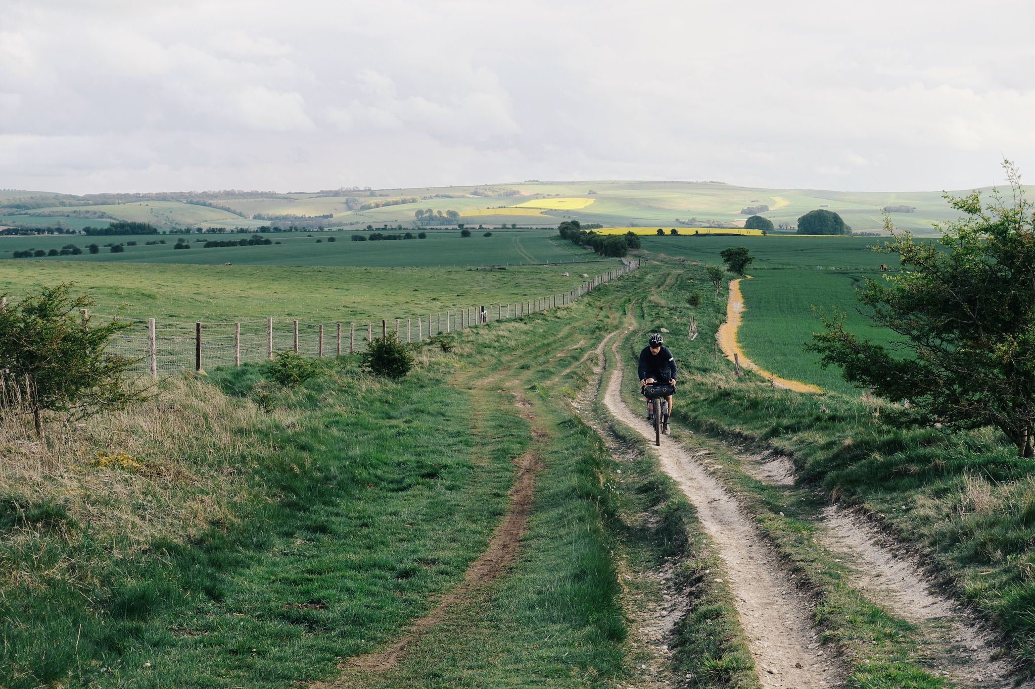
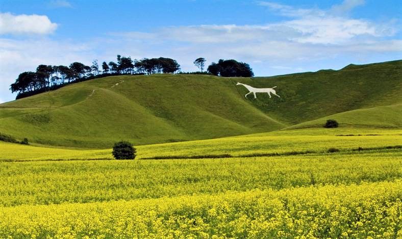
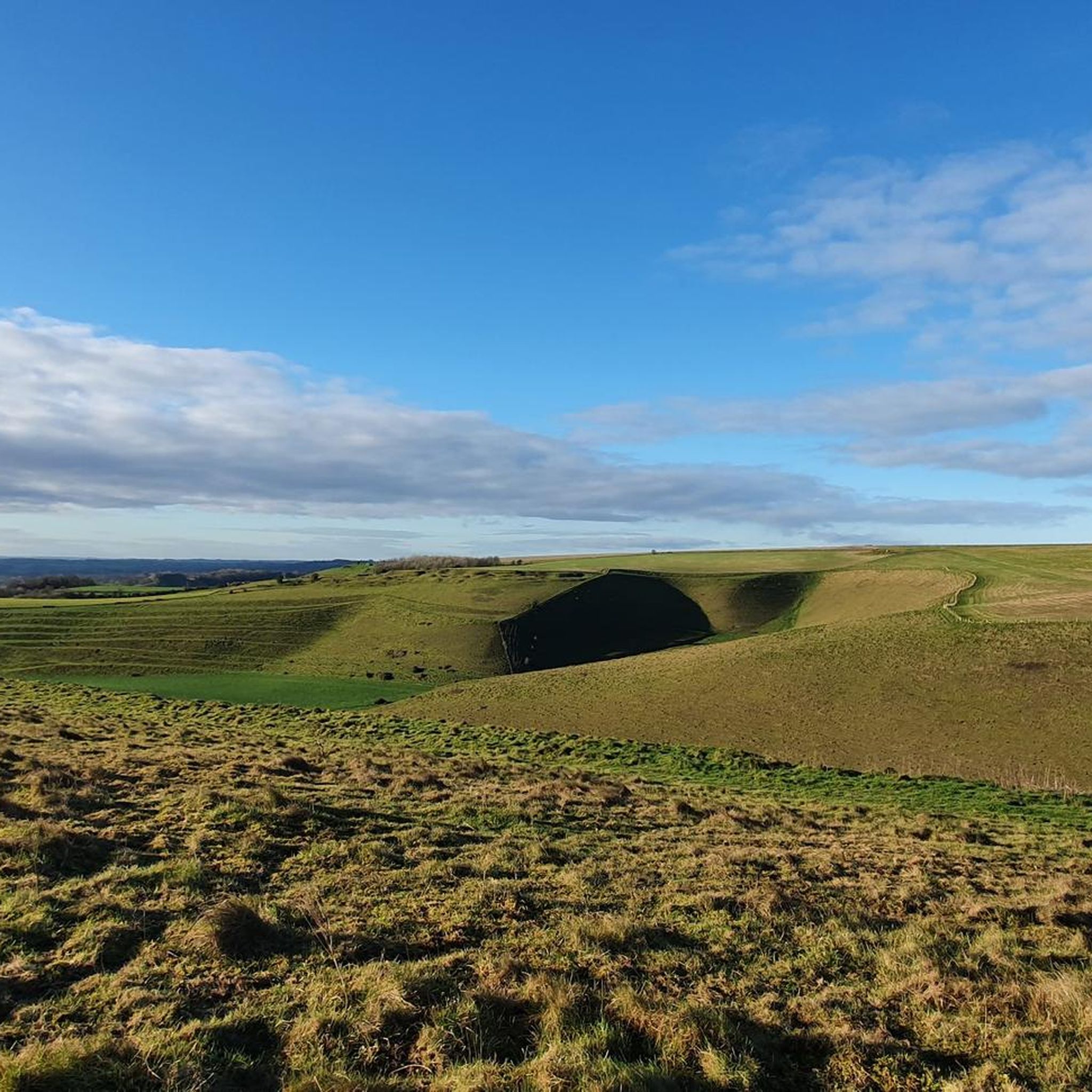
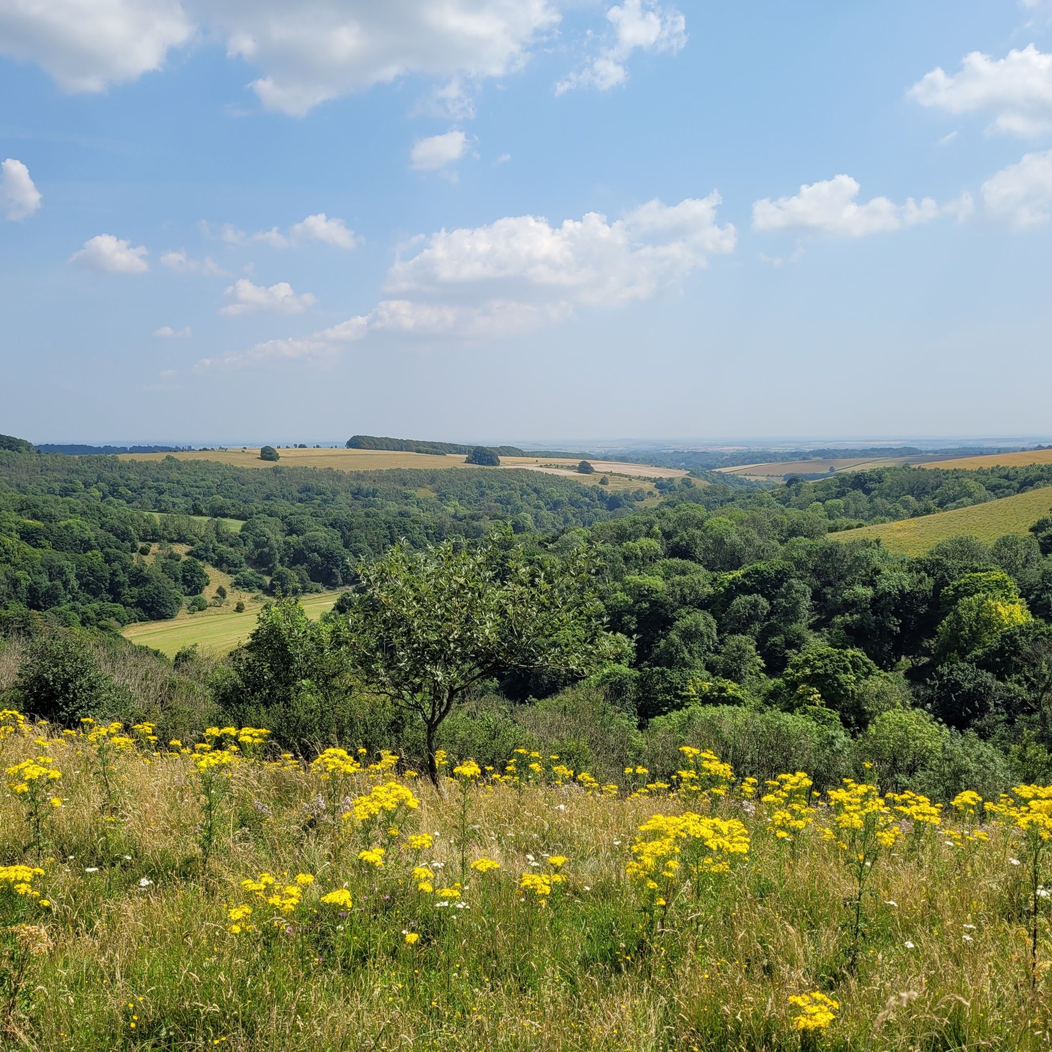

Other adventures around Donhead St. Mary


Tips from the Community

Probably the most doable sharp ascent on the Old Chalk Way. Long stretch of byway which trends downhill all the way to Salisbury. Line choice critical though, the speed bumps will definitely slow you down.
0
0

Historic Significance: It is a Grade I Listed Building (the highest level of protection), noted for its special architectural and historic interest. Age: The first record of the bridge dates back to 1334, suggesting its medieval origins, with parts of the current structure likely dating to the 15th century. Construction: It is built of coursed rubble and ashlar stone and features nine semi-circular arches. Widening: The bridge was widened in 1819. The upstream side is the original, medieval part and features triangular cut-waters which extend up to form pedestrian refuges. The downstream side is the later, plainer widening. Inscriptions: There is a reset stone on the east side of the bridge inscribed with the year 1719. Name Origin: The bridge is named Crawford Bridge because it carries the road from Spetisbury to Tarrant Crawford. The nearby area of Spetisbury was historically one of three manors, including Great Crawford.
0
0

Durweston Mill is a Grade II listed building, that has been converted into a holiday accommodation with two apartments, Coopers and Riverside, overlooking the River Stour. It also features a separate 5-acre private island with glamping and camping facilities, which are open for bookings and offer activities like fishing, wild swimming, and dog walking.
0
0

Single lane beware of on coming vehicles
0
0


Using the power of moving water to drive a mill wheel is an ancient invention of the human spirit of discovery, the origins of which can be traced back to times long past. Thanks to such a construction, a watercourse - natural or artificial - could simply replace human or animal muscle power with the power of the natural elements, for example to grind grain into corn or to press oil from fruit. There are essentially two different ways of driving watermills: * Either the flowing water simply hits the blades of the water wheel from below to set it in motion; or * the water is guided - usually through a so-called "mill channel" - above the wheel and falls onto the blades; this type of construction is more efficient due to natural gravity.
0
0
A very well maintained and versatile trailway. You'll really not be disappointed with this one
0
0
Frequently Asked Questions
How many gravel bike trails are available around Donhead St. Mary?
There are over 10 gravel bike trails available around Donhead St. Mary, offering a range of experiences from moderate to difficult. These routes traverse diverse landscapes, including chalk downland, ancient woodlands, and river valleys.
What kind of terrain can I expect on gravel bike trails in Donhead St. Mary?
The terrain around Donhead St. Mary is varied, featuring a mix of quiet lanes, unmade tracks, and rugged field edges. You'll encounter chalk downland, ancient woodlands, and river valleys, with significant elevation changes including steep hills. Some routes might even require pushing your bike on challenging segments.
Are there any easy or beginner-friendly gravel bike routes in the area?
While many routes in Donhead St. Mary are rated moderate to difficult due to elevation gains and varied surfaces, there are options that can be adapted for beginners. For example, the Pertwood Singletrack East – Great Ridge Gravel Trail loop from Fonthill Gifford is a moderate 17.8-mile route that offers a good introduction to the area's woodlands and countryside.
Where can I find panoramic views or notable natural features along the trails?
Many routes offer stunning views. Win Green, the highest point in Cranborne Chase, provides breathtaking panoramic views over Blackmore Vale and Salisbury Plain, with glimpses of the Isle of Wight on clear days. You can find this viewpoint on routes that pass near Win Green Summit. Ancient woodlands like Donhead Clift and Oysters Coppice Nature Reserve also offer shaded routes and opportunities for wildlife spotting.
Are there any long-distance gravel biking routes near Donhead St. Mary?
Yes, for those seeking a longer challenge, the River Stour at Spetisbury – Stour Bridge loop from Tarrant Launceston is a substantial 64.4-mile trail with over 3,396 feet of elevation gain, typically taking over 8 hours to complete. Another long option is the Ox Drove Gravel Road – Gold Hill, Shaftesbury loop from Shaftesbury, which is 60.5 miles long and includes the iconic Gold Hill.
What historical landmarks or attractions can I explore while gravel biking?
The region is rich in history. You can cycle past charming thatched cottages in Donhead St. Mary, visit the 12th-century St. Mary's Church, or include a challenging ascent up Gold Hill in Shaftesbury, made famous by a Hovis advert. Iron Age hill forts like Hambledon Hill also offer historical sites and impressive views.
What do other gravel bikers enjoy most about the trails in Donhead St. Mary?
The gravel biking routes around Donhead St. Mary are highly rated by the komoot community, with an average score of 4.0 stars. Reviewers often praise the diverse landscapes, the mix of quiet lanes and challenging unmade tracks, and the stunning panoramic views from elevated points like Win Green.
Are there any circular gravel routes available?
Many of the gravel routes in the Donhead St. Mary area are designed as loops, allowing you to start and finish in the same location. Examples include the Ox Drove Gravel Road – Smooth Descent to Sixpenny loop from Sixpenny Handley and the Fovant Downs Climb – Crook Hill Lane Valley View loop from Berwick St. John.
What is the best time of year for gravel biking in Donhead St. Mary?
The diverse landscapes of Donhead St. Mary are enjoyable throughout much of the year. Spring and autumn offer pleasant temperatures and beautiful scenery, especially when bluebells are in bloom in areas like Bluebell Fields in Cranborne Chase & West Wiltshire Downs. Summers are generally good, but be prepared for potential heat on exposed chalk downland. Winters can be challenging due to muddy conditions on unmade tracks and potentially icy sections on higher ground.
Are there any cafes or pubs along the gravel routes for a break?
While specific cafes and pubs directly on every trail are not listed, the charming villages in the area, including Donhead St. Mary and nearby Shaftesbury, offer various options for refreshments. Planning your route to pass through these villages will provide opportunities for a break and a bite to eat.
Where can I find parking for gravel biking trailheads in Donhead St. Mary?
Parking is typically available in or near the villages that serve as starting points for these routes, such as Donhead St. Mary, Sixpenny Handley, Fonthill Gifford, or Shaftesbury. Always check local signage for parking restrictions and availability, especially in smaller villages.
Most popular routes around Donhead St. Mary
Most popular attractions around Donhead St. Mary

Get inspired with the komoot mobile app


Explore more
Browse the best Gravel rides in other regions.
