The best gravel rides around Paspardo
4.1
(36)
373
riders
13
rides
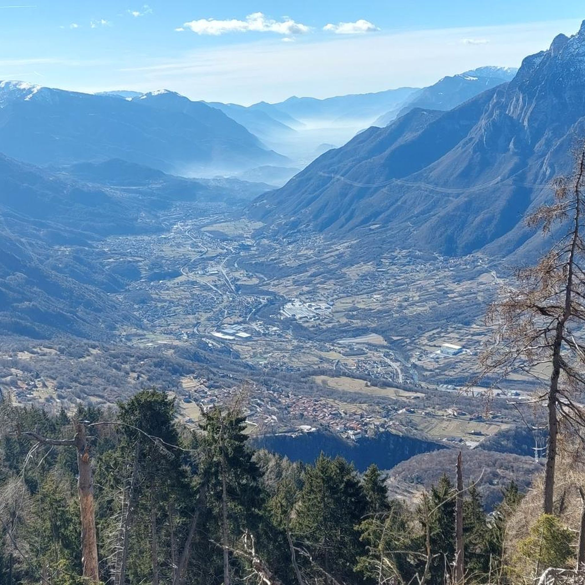
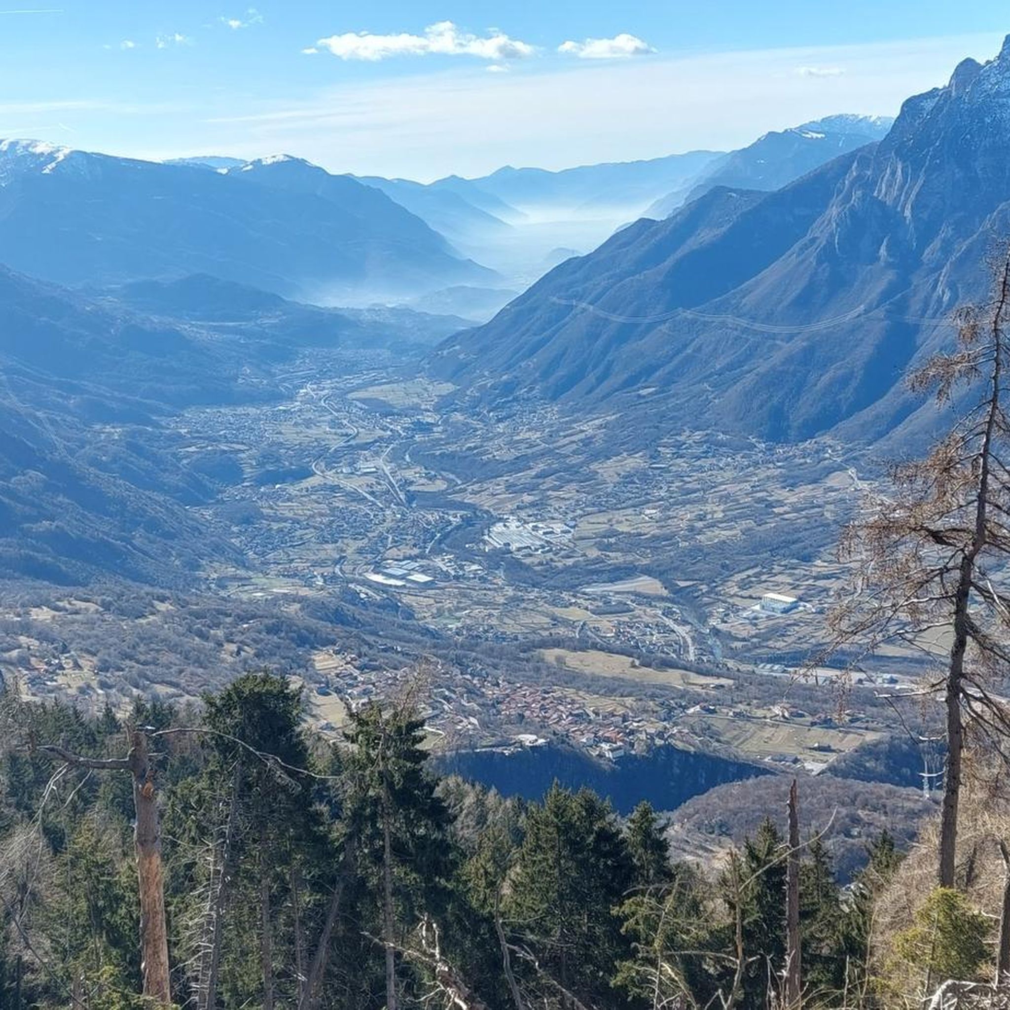
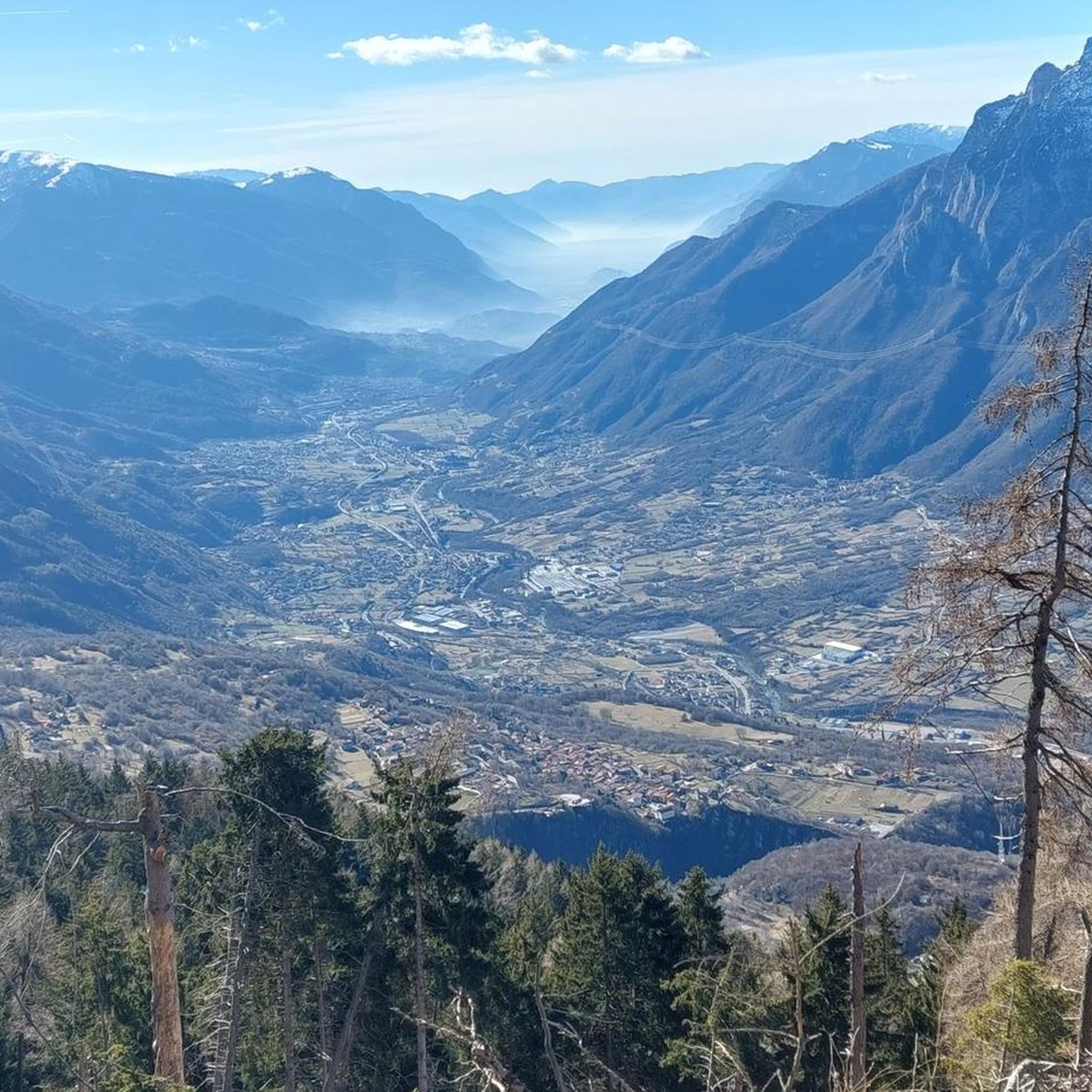
Gravel biking around Paspardo offers routes through the Valle Camonica, characterized by river valleys, historic sites, and significant elevation changes. The region features a mix of established cycle paths and more challenging mountain passes. Terrain varies from paved sections to unpaved tracks, often traversing forested areas, terraced landscapes, and open pastures. This diverse topography provides an ideal setting for mixed-surface gravel cycling.
Best gravel bike trails around Paspardo
- The most popular gravel bike trail is Montecchio Roman Bridge – Oglio…
Last updated: October 8, 2026
4.7
(15)
153
riders
Hard gravel ride. Very good fitness required. Mostly paved surfaces. Suitable for all skill levels.
4.3
(12)
49
riders
87.0km
05:45
1,140m
1,140m
Hard gravel ride. Very good fitness required. Mostly paved surfaces. Suitable for all skill levels.

12
riders
71.0km
06:41
2,650m
2,650m
Hard gravel ride. Very good fitness required. Mostly paved surfaces. Suitable for all skill levels.
3.0
(1)
24
riders
73.2km
05:04
1,300m
1,300m
Hard gravel ride. Very good fitness required. Mostly paved surfaces. Suitable for all skill levels.
3.7
(3)
14
riders
44.5km
03:03
740m
740m
Hard gravel ride. Very good fitness required. Mostly paved surfaces. Suitable for all skill levels.
Get access to more routes and recommendations from other explorers.
Already have an account?
Our route recommendations are based on thousands of hikes, rides, and runs completed by other people on komoot.
Start today with a free account
Your next adventure awaits.

Tips from the Community

quiet and almost entirely on asphalt
0
0

during one of my tours, I found myself in this pass, spectacular how at the end of summer everything is incredibly green
0
0

The Ciclovia dell'Oglio is an excellent cycle touring route of 282 kilometers that entirely follows the course of the Oglio river, connecting the mountains of Lombardy to the Po Valley. Considered the "most beautiful cycle path in Italy" (title received at the Italian Green Road Award 2019), it has a total negative elevation difference of almost 1,862 meters, starting from 1,883 meters at the Passo del Tonale to reach 21 meters of the Po at San Matteo delle Chiaviche. The route is 80% asphalt and 20% compact dirt road and is ideal for gravel, trekking, or e-bikes.
0
0

By train to Edolo and then by bike up to Ponte di legno. The next day, departure in four stages to Mantua. Beautiful cycle path. Recommended
0
0

Nice, historic, relaxing...a beautiful ride along the Oglio cycle path.
0
0

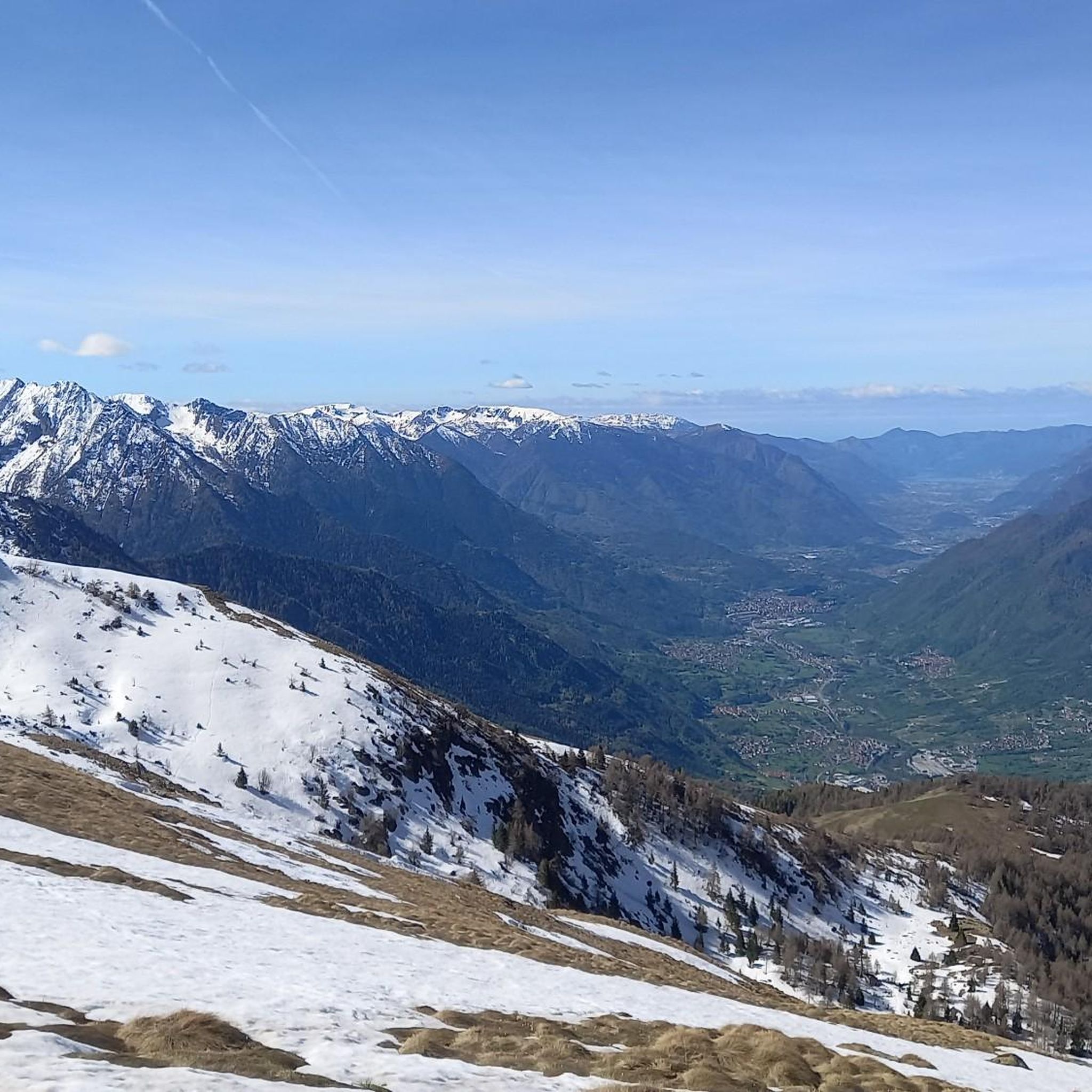
The Campelli Pass is an Alpine pass at approximately 1,892 meters above sea level that connects the Scalve Valley (province of Bergamo) with the Camonica Valley (province of Brescia). It is a popular hiking destination for its scenic beauty and the variety of available itineraries. 🏔️ Main Features Location: Between Schilpario (BG) and Cerveno (BS) Elevation: approximately 1,892 m View: Spectacular view of Cimon della Bagozza and the Piccole Dolomiti Scalvine Access: From Schilpario – Fondi: winter route for snowshoeing or ski mountaineering From Schilpario – Baracca Rossa: shorter and more scenic summer route From Ono San Pietro (BS): longer and more challenging route 🚶♂️ Recommended Activities Summer Hiking: Well-marked trails, also suitable for families Winter Snowshoeing: Safe and picturesque itineraries in the snow Mountain Biking: Technical and scenic routes, with stops at the Campione Refuge and Campelli Lake 📍 Nearby Points of Interest Campione Refuge: Not far from the pass, offers refreshments and overnight accommodations Campelli Lake Campelli: a small Alpine lake, ideal for a break Madonnina dei Campelli: a panoramic and spiritual point along the route
0
0

Stone bridge with nice views around. The river was brown due to heavy rain some hours earlier.
1
0
To reach Montecchio di Darfo, starting from Boario, you cross the so-called "Roman bridge." It is a scenic 24-meter, single-span bridge, built from blocks of granite and Simona stone in 1686, over the remains of an older bridge that connected the medieval castle on Monticolo to the opposite bank of the river. It has been recognized as a national monument.
0
0
Frequently Asked Questions
How many gravel bike trails are available around Paspardo?
There are over 10 gravel bike trails around Paspardo, offering a variety of experiences through the Val Camonica region. These routes are highly rated by the komoot community, with an average score of 4.9 stars.
Are there gravel bike trails suitable for beginners in Paspardo?
While many routes in Paspardo are challenging, there are a couple of moderate gravel bike trails. For a less strenuous option that still offers scenic views, consider the By bike along the Oglio – Cividate-Breno Cycle Tunnel loop from Ceto - Cerveno, which is 22.1 miles (35.6 km) long and follows the Oglio River valley.
What is the best time of year for gravel biking in Paspardo?
The Val Camonica region, including Paspardo, is generally best for gravel biking from spring through autumn. During these seasons, you'll experience more favorable weather conditions for exploring the river valleys, historic sites, and mountain passes. Winter can bring snow and colder temperatures, making many routes more challenging or inaccessible.
Are there any gravel bike routes that feature significant climbs and expansive views?
Yes, Paspardo is known for its significant elevation changes. For a challenging ride with rewarding vistas, the Croce di Salven Pass – Campelli Pass loop from Ceto - Cerveno is an excellent choice. This difficult 44.1 miles (71.0 km) route features substantial climbs over mountain passes, offering expansive views of the surrounding landscape.
Can I find gravel bike trails that incorporate historical elements or landmarks?
Absolutely. The region is rich in history. The Montecchio Roman Bridge – Oglio Cycle Path loop from Capo di Ponte is a difficult 50.6 miles (81.4 km) trail that follows the Oglio Cycle Path and incorporates historical elements, including the ancient Roman bridge.
Are there any notable natural attractions or points of interest along the gravel bike routes?
Yes, the area around Paspardo features several natural monuments and mountain passes. You might encounter highlights such as the Campelli Pass, Passo di Campo, or even the Mount Campioncino. These offer stunning views and unique natural beauty.
What kind of terrain can I expect on gravel bike trails near Paspardo?
The terrain around Paspardo is quite varied, ranging from established cycle paths along the Oglio River to more challenging unpaved tracks. You'll encounter a mix of paved sections, gravel roads, and forested paths, often with significant elevation changes as you traverse river valleys and mountain passes.
Are there any long-distance gravel bike loops for experienced riders?
For experienced riders seeking a longer, challenging loop, the Passo Crocedomini – By bike along the Oglio loop from Cerveno is a difficult 60.3 miles (97.0 km) route. It features substantial climbs and offers a comprehensive tour of the region's diverse landscapes.
What do other gravel bikers enjoy most about the trails in Paspardo?
The komoot community rates the gravel biking experience in Paspardo very highly, with an average score of 4.9 stars from over 18 reviews. Riders often praise the diverse terrain, the blend of challenging climbs and scenic valley rides, and the opportunity to explore both natural beauty and historical sites within the Val Camonica.
Are there any routes that offer views of local villages or unique natural features like old mills?
Yes, some routes provide glimpses into the local character and historical infrastructure. The View of Losine – Mulini di Sellero loop from Malonno is a difficult 55.3 miles (89.0 km) trail that offers views of the Losine area and passes by the historic Mulini di Sellero, providing a cultural and scenic experience.
What is the typical elevation gain on gravel bike trails in Paspardo?
Gravel bike trails around Paspardo are characterized by significant elevation changes. While some valley routes have moderate climbs, many difficult trails feature substantial ascents. For example, routes like the Croce di Salven Pass loop can involve over 2,600 meters of elevation gain, offering a true mountain biking challenge.
Most popular attractions around Paspardo

Get inspired with the komoot mobile app


Explore more
Browse the best Gravel rides in other regions.
