The best gravel rides around Albareto
4.0
(1)
33
riders
8
rides
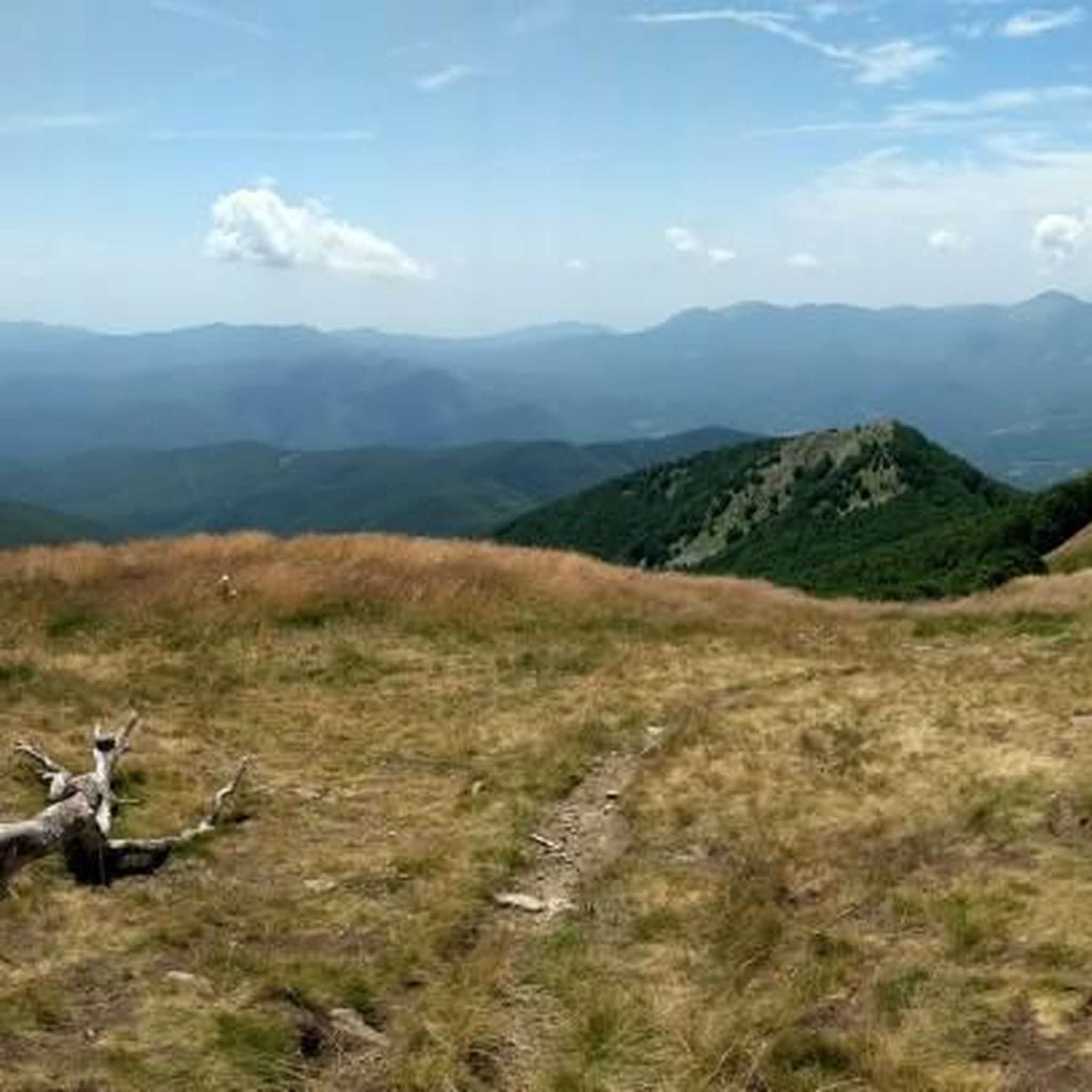
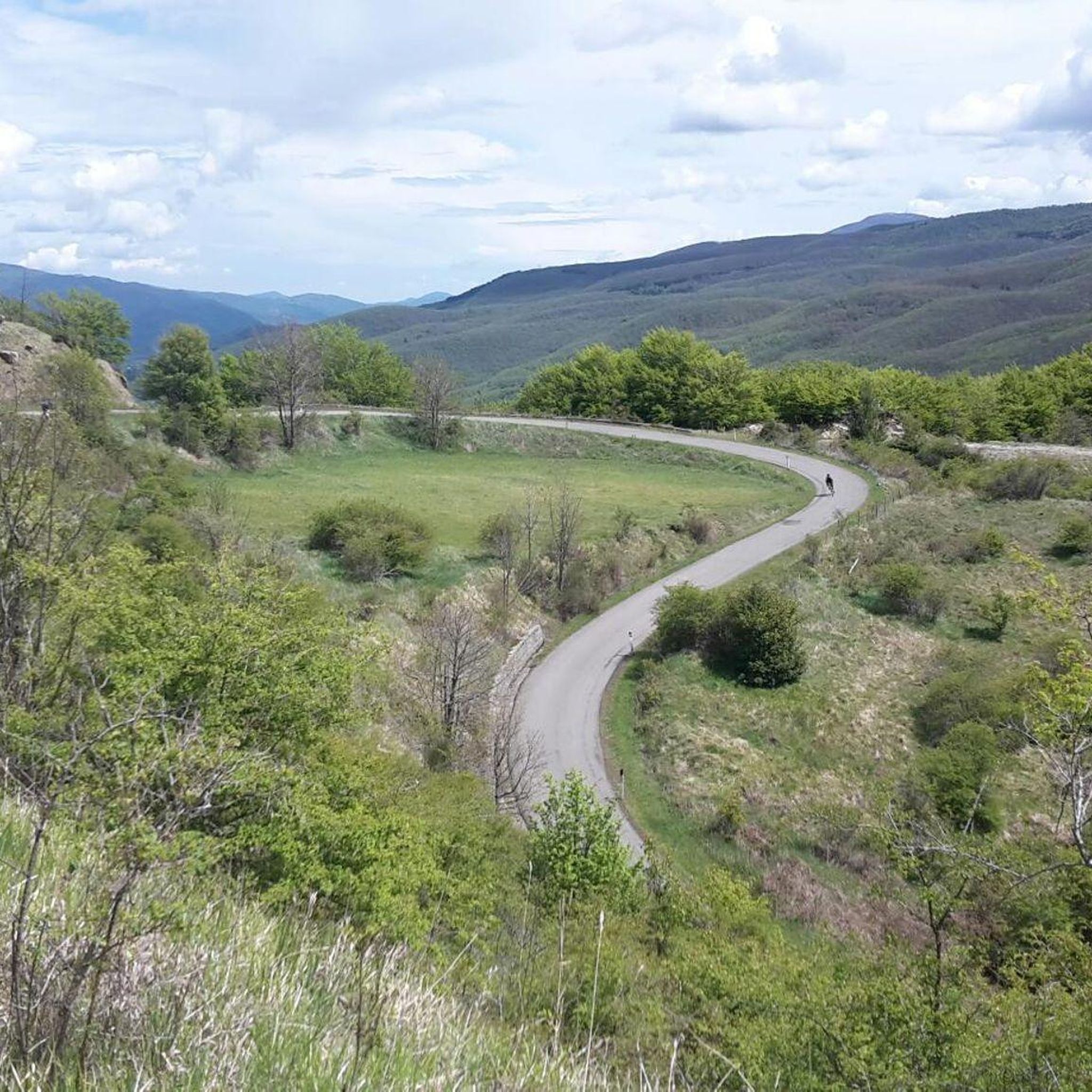
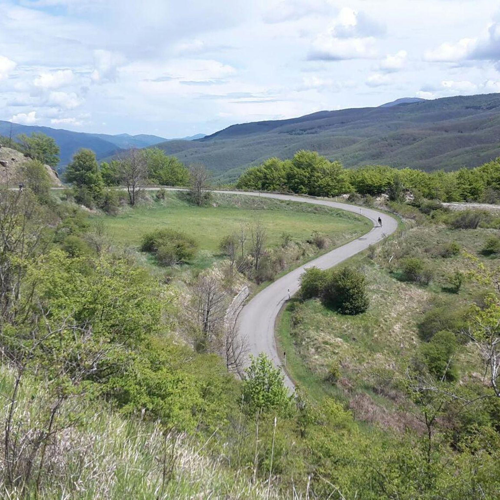
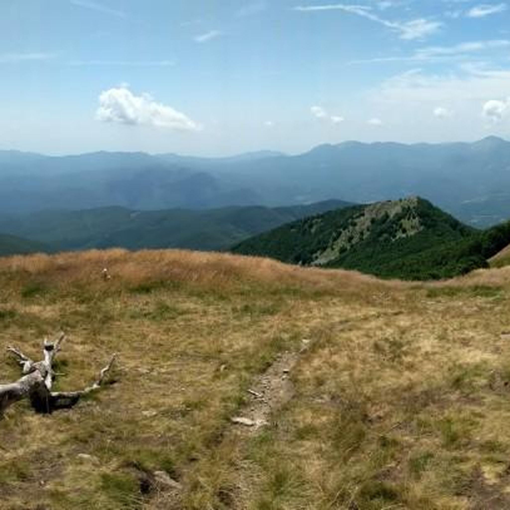
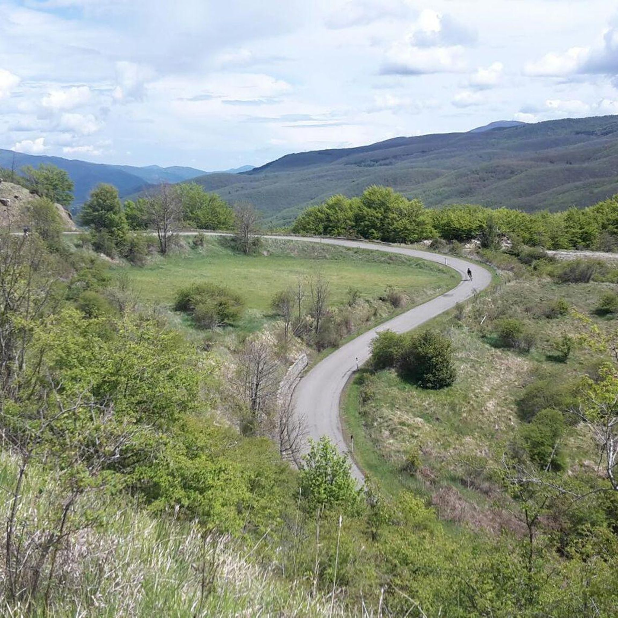
Gravel biking around Albareto offers diverse landscapes at the crossroads of Emilia, Liguria, and Tuscany, set within the Apennine Mountains. The region is characterized by expansive beech and chestnut woods, pure springs, and panoramic views of the Parma hills. Notable peaks like Mount Gottero and Monte Spiaggi provide varied terrain, while the unspoiled Gotra mountain stream contributes to the diverse environment. This topography is ideal for gravel biking, allowing riders to choose routes that match their skill and endurance levels.
…Last updated: July 4, 2026
5
riders
76.2km
06:59
2,470m
2,470m
Hard gravel ride. Very good fitness required. Mostly paved surfaces. Suitable for all skill levels.
4.0
(1)
11
riders
57.3km
04:10
1,210m
1,210m
Hard gravel ride. Very good fitness required. Mostly paved surfaces. Suitable for all skill levels.

Sign up for free
4
riders
110km
09:20
3,000m
3,000m
Hard gravel ride. Very good fitness required. Mostly paved surfaces. Suitable for all skill levels.
6
riders
54.5km
04:08
1,370m
1,370m
Hard gravel ride. Very good fitness required. Mostly paved surfaces. Suitable for all skill levels.
5
riders
66.1km
05:00
1,470m
1,470m
Hard gravel ride. Very good fitness required. Mostly paved surfaces. Suitable for all skill levels.
Get access to more routes and recommendations from other explorers.
Sign up for free
Already have an account?
Our route recommendations are based on thousands of hikes, rides, and runs completed by other people on komoot.
Start today with a free account
Your next adventure awaits.
Login or Signup
Tips from the Community

It is easily well marked along the forest road.
0
0
Born from the recovery of old barracks, it is a beautiful refuge where you can both eat and stay overnight. The location is stunning and makes it a must-stop when visiting these areas.
0
0

The Passo della Cappelletta (1,085 m a.s.l.) is a charming Apennine pass located on the border between Emilia-Romagna (province of Parma/Piacenza) and Liguria. It is famous for its imposing wind turbines and its proximity to Monte Gottero.
0
0
Established in December 2010, it covers the southwestern portion of the Province of Parma, divided between the municipalities of Albareto and Borgo Val di Taro. With an altitude ranging from 478 to 693 meters above sea level, it covers an area of approximately 370 hectares and is located within the larger WWF Oasis of the same name.
0
0

Pria Burgheisa (Pietra Borghese) is a massive outcrop of mantle peridotites, among the best-known and most significant in the area. It lies on the southwestern edge of the Prato Mollo plateau, on the southern slopes of Mount Aiona, at an altitude of 1,465 m. It is a geosite of considerable petrographic, mineralogical, and regional geological interest, allowing us to study the evolution of a portion of the lithospheric mantle subsequently involved in the Apennine orogeny. The outcrop has a highly irregular shape: 30 m long, 10 m wide at its maximum, and 7–8 m high. The rocks are dark in color, ranging from blackish to brownish; the mass is affected by three main fracture systems, more or less orthogonal to each other, which fragment it into numerous square-shaped blocks. The surface of the blocks has a pitted appearance, as the pyroxene crystals, more resistant to erosion than olivine, remain prominent. At the outcrop, mantle foliation is evident, due to the presence of frequent pyroxenite bands. Source: Liguria Geosite Registry.
0
0

small village but very suggestive and picturesque to pass by bicycle
0
0

The Rifugio Casermette del Penna (1,400 m) is located within the Aveto Park, in a beautiful beech forest at the foot of Mount Penna, where the Forestry Corps barracks once stood. Renovated sustainably using local wood, photovoltaic panels, and a biomass boiler, the refuge offers 25 beds in both rooms and dormitories, as well as home-cooked meals prepared using local produce. Today, it is a popular destination for hikers, families, and groups, thanks in part to the large green lawn in front of the building: in summer, it's ideal for relaxing in the sun, picnicking, or letting children play freely. The location is perfect for exploring the trails of Mount Penna, the Lago Penna loop, the Pennino forests, or tackling more technical climbs to the rocky peaks. In winter, it's an ideal base for snowshoeing and cross-country skiing.
0
0
The Taro River's sources are located on the slopes of Mount Penna, at approximately 1,500 meters above sea level, in the heart of the Ligurian Apennines, within the Taro and Ceno Valleys Park. Here, in a cool beech forest, several springs merge to form the river's first rivulets. The Taro River originates as an Apennine torrent and flows for over 120 km toward the Po River, crossing valleys, plains, and areas of great natural beauty. Its course is known for its high biodiversity and the presence of well-preserved river environments, protected by protected areas and nature reserves.
0
0
Frequently Asked Questions
How many gravel bike trails are available in Albareto?
Albareto offers a good selection of gravel bike trails, with 7 routes currently available on komoot. These routes cater to various skill levels, allowing you to explore the diverse landscapes of the Apennines.
What kind of terrain can I expect on gravel bike trails in Albareto?
The terrain around Albareto is diverse, featuring extensive beech and chestnut woods, pure springs, and panoramic views of the Parma hills. You'll encounter a mix of forest roads, farm roads, and low-traffic back roads, with routes often traversing mountain passes like Cento Croci and Bocco. The unspoiled Gotra mountain stream also adds to the varied landscape.
What are the difficulty levels of gravel bike trails in Albareto?
Most of the gravel bike trails in Albareto are considered difficult, with 6 out of 7 routes falling into this category. These challenging segments often involve significant elevation gain and varied landscapes, suitable for experienced riders. There is also one moderate route available.
What natural landmarks or scenic viewpoints can I see while gravel biking in Albareto?
Many routes offer stunning natural sights. You can experience panoramic views of the Parma hills, especially along routes leading to the Cento Croci and Bocco passes. Notable natural landmarks include the Monte Gottero Summit and the Passo di Cento Croci (1,055 m). The region is also rich in expansive beech and chestnut woods and pure springs.
Are there any cultural or historical attractions near the gravel bike routes in Albareto?
Yes, beyond the natural beauty, Albareto offers cultural points of interest. You might encounter the Vicolo delle Molini, Bedonia, a historical site. The town itself is home to the 'Piccolo Museo di Guerra' and the Sanctuary of Boschetto. Albareto is also renowned for its porcini mushrooms, with a dedicated Porcini Mushroom Museum.
Are there any challenging gravel routes for experienced riders in Albareto?
Absolutely. Albareto is well-suited for experienced gravel bikers looking for a challenge. Routes like the Rastrello Pass – Alta Via dei Monti Liguri loop from Sesta Godano offer challenging climbs and descents through varied landscapes. Another demanding option is the Pradesche Trail Junction – Start of P52 Beach Trail loop from Borgo Val di Taro.
Can I find routes that offer extensive views of the Parma hills?
Yes, several routes in the Albareto area provide excellent panoramic views of the Parma hills. The region's topography, especially along paths leading to the Cento Croci and Bocco passes, is ideal for these scenic vistas. Consider the Scenic viewpoint – Church of Porcigatone loop from Borgo Val di Taro for dedicated scenic views.
Are there any long-distance gravel routes in the Albareto area?
For those seeking longer rides, Albareto offers options like the Alta Via dei Monti Liguri – Passo Alpicella (710 m) loop from Borgo Val di Taro, which spans over 110 km and features significant elevation gain through mountainous terrain.
Are there any circular gravel routes in Albareto?
Yes, many of the gravel routes in Albareto are designed as loops, allowing you to start and end in the same location. Examples include the Passo Montevacca – Vicolo delle Molini, Bedonia loop from Compiano and the Scenic viewpoint – Church of Porcigatone loop from Borgo Val di Taro.
What is the best time of year to go gravel biking in Albareto?
Albareto benefits from a 'genial climate,' making it pleasant for gravel biking across multiple seasons. Spring and autumn are particularly beautiful with the beech and chestnut woods in full color. Summer also offers good conditions, especially in the higher elevations, while winter might present more challenging conditions due to snow in the Apennines.
What makes Albareto a good destination for gravel biking?
Albareto is an excellent gravel biking destination due to its unique position at the crossroads of Emilia, Liguria, and Tuscany, offering incredibly diverse landscapes. The extensive network of forest roads, farm roads, and low-traffic back roads allows for varied journeys combining paved and unpaved surfaces, leading through enchanting places not accessible from main roads and connecting riders directly with nature.
Most popular attractions around Albareto

Get inspired with the komoot mobile app


Explore more
Browse the best Gravel rides in other regions.
