The best gravel rides around Verolanuova
4.8
(36)
241
riders
40
rides
Gravel biking around Verolanuova is characterized by the flat, alluvial terrain of the Bassa Bresciana area, shaped by rivers such as the Oglio, Strone, and Mella. This region offers a landscape of well-groomed paths, green meadows, and woods, providing varied scenery for cycling. Features like the Strone River Park and Bosco del Lusignolo offer natural oases with dedicated cycle paths. The area's low elevation and riverine environment make it suitable for diverse gravel biking experiences.
Best gravel bike trails around…
Last updated: July 8, 2026
5.0
(5)
30
riders
61.6km
03:33
170m
170m
Moderate gravel ride. Good fitness required. Mostly paved surfaces. Suitable for all skill levels.
22
riders
Hard gravel ride. Very good fitness required. Mostly paved surfaces. Suitable for all skill levels.

Sign up for free
5.0
(1)
20
riders
Hard gravel ride. Very good fitness required. Mostly paved surfaces. Suitable for all skill levels.
5.0
(2)
14
riders
52.9km
03:09
160m
160m
Moderate gravel ride. Good fitness required. Mostly paved surfaces. Suitable for all skill levels.
6
riders
73.7km
04:16
200m
200m
Moderate gravel ride. Good fitness required. Mostly paved surfaces. Suitable for all skill levels.
Get access to more routes and recommendations from other explorers.
Sign up for free
Already have an account?
Our route recommendations are based on thousands of hikes, rides, and runs completed by other people on komoot.
Start today with a free account
Your next adventure awaits.
Login or Signup

Tips from the Community

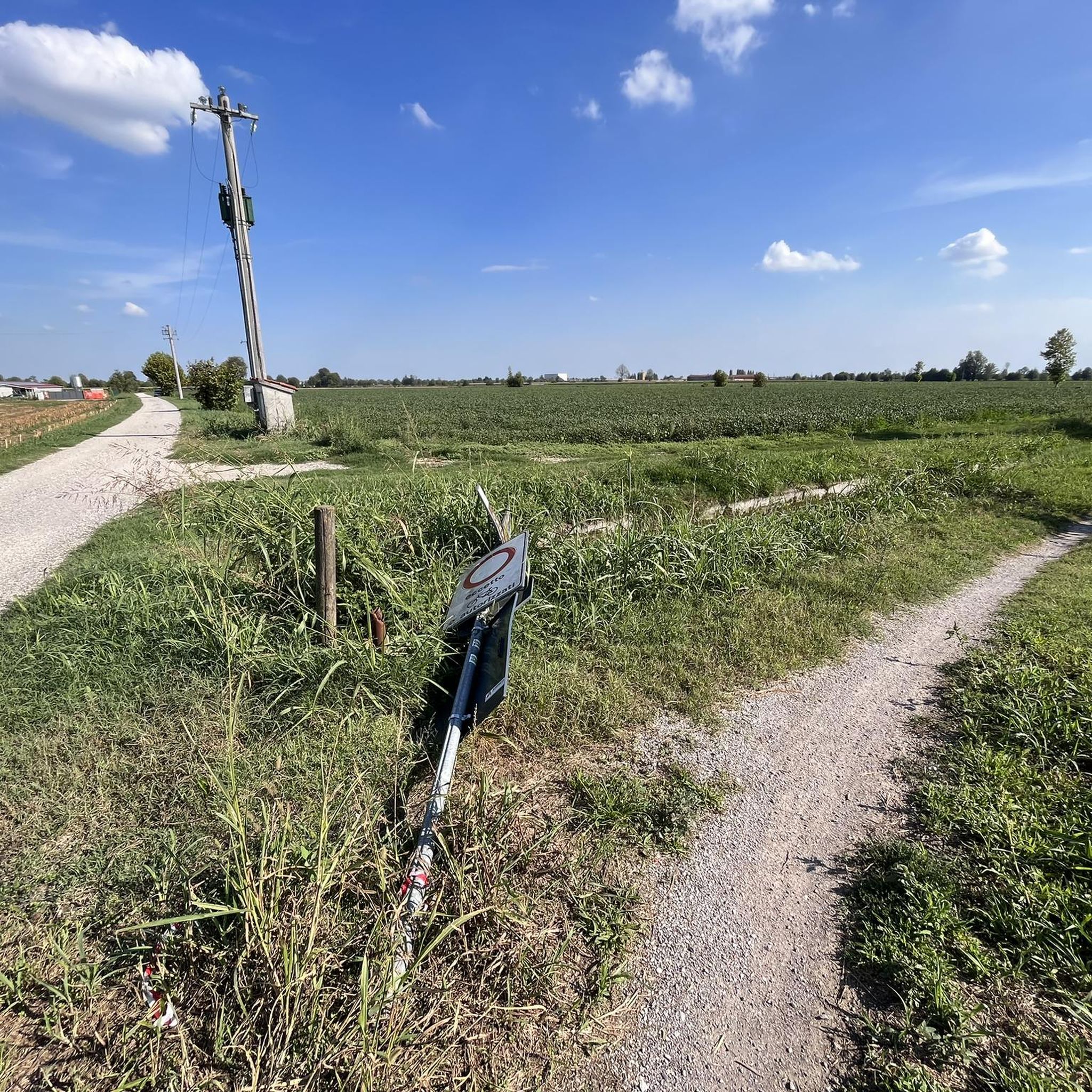
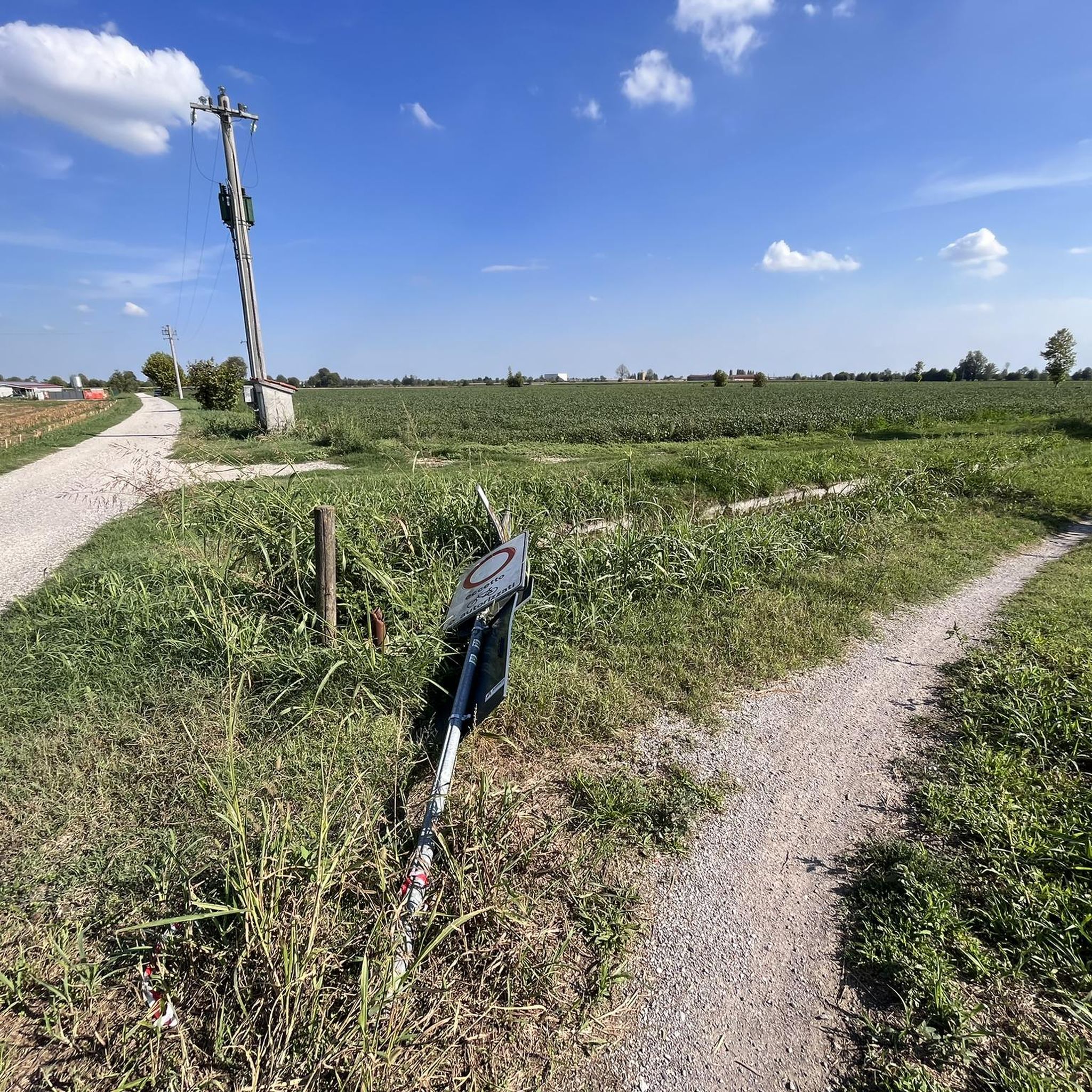
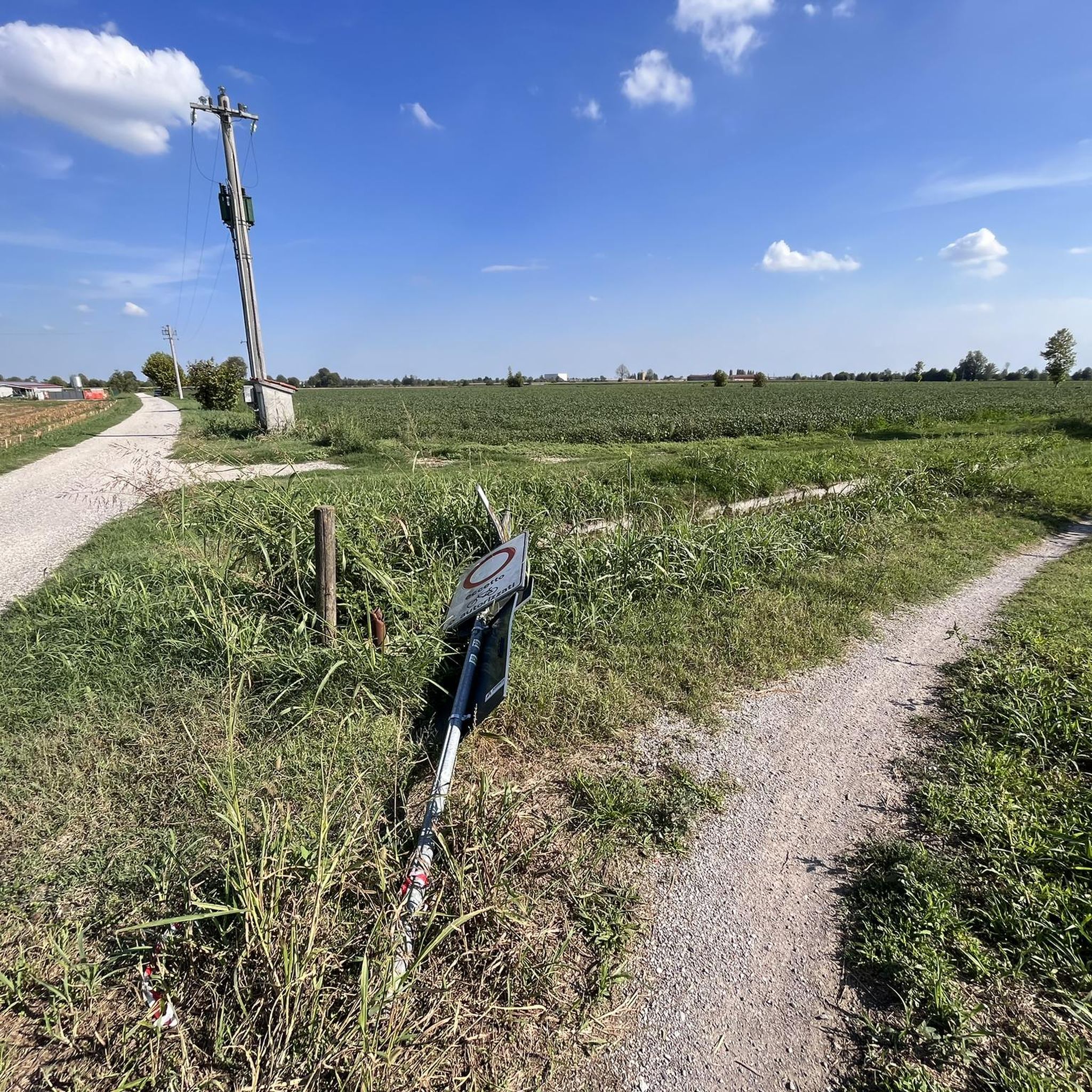
Pure Gravel ride. With mixed stretches on asphalt to relax a bit. Alternating shade and sun, but I think mid-season is preferable. The stretch of Verolavecchia and Verolanuova is beautiful, with its architectural features. There are fun climbs and descents, for which, however, it's better to have good brakes (as always).
0
0

The Naviglio Civico di Cremona is a historic artificial canal of about 57 km (reaching over 75 km considering the underground section "Cremonella" and the final stretch into the Po River), built in 1337 for irrigation purposes and still fundamental for agriculture today. It crosses the province from north to south, connecting the Oglio river to the city, characterized by a landscape rich in biodiversity, ancient farmhouses, and a cycle path.
0
0


The trail, which runs alongside the Canale Civico Cremonese, is straight and uneven, running through fields and rows of vines on a dirt surface. Stable and even, it's a perfect stretch for gravel and touring bikes.
1
0

Very beautiful, almost entirely shaded and cool. In some places, the vegetation is very lush, but there are alternative routes. As always, there are the inevitable fallen tree trunks along the way. One in particular is 15 cm in diameter, but you can climb over it. Have a good trip!
0
0

Used for food preservation, in the winter it was filled with snow and straw: the straw had an insulating function, while the snow, with its weight, became ice compacting inside the structure. This allowed the preservation of food in the summer. We are in "Scorzarolo", an old abandoned village near Verolavecchia (BS), here the icehouse most likely served two dairies for the processing of dairy products. The icehouse or "neviera" is made in a truncated cone shape with a circular plan and walls, usually in brick masonry or, like the one in Scorzarolo, in bricks, the ceiling is made in a dome. There are small windows and an entrance, the structure is about 4m deep.
0
0

A lush corner with oaks, ash trees and hornbeams, ideal for walks and bike rides. Well-groomed paths between clearings and plain woods, accompanied by birdsong. Landscapes that change with the seasons, perfect for unique photographs. A well-equipped space that is perfect for picnics or simply to get away from the routine A place to explore and share!
0
0
The Scorzarolo Ice House: Ingenuity and Tradition This circular brick structure, with an ogival roof and about four meters deep, was filled with snow in the winter to preserve food during the summer. It may also have had a public-health service function, making it a key element of rural life at the time.
0
0
Frequently Asked Questions
What kind of terrain can I expect on gravel bike trails around Verolanuova?
The Verolanuova area, part of the Bassa Bresciana, features predominantly flat, alluvial terrain shaped by rivers like the Oglio, Strone, and Mella. You'll find a mix of well-groomed paths, green meadows, and woodlands, offering varied scenery. Some routes incorporate more technical dirt sections, while others are mostly paved, catering to different preferences.
Are there family-friendly gravel bike routes in Verolanuova?
Yes, Verolanuova offers routes suitable for families and beginners. The region's generally flat landscape makes it accessible. For instance, the Bosco del Lusignolo – Pieve di Comella loop from Verolanuova is a moderate 52.8 km route that takes you through a beautiful green oasis, perfect for a relaxing ride amidst nature.
What natural attractions can I explore while gravel biking near Verolanuova?
You can discover several natural highlights. The Strone River Park offers an oasis of serenity with green meadows. The Bosco del Lusignolo is a haven of biodiversity with a dedicated cycle path winding through ancient trees, small lakes, and clearings, where you might spot local wildlife.
Are there any historical landmarks or points of interest along the gravel routes?
Absolutely. Many routes pass by significant landmarks. For example, the Padernello Castle – Bridge over the Oglio River loop from Verolanuova takes you past the historic Padernello Castle. Nearby, you can also see the unique San Vigilio Bridge of Padernello, constructed entirely of intertwined logs (cyclists are advised to walk their bikes across this particular bridge).
How many gravel bike trails are available in the Verolanuova area?
There are over 70 gravel bike tours available around Verolanuova. These routes cater to various skill levels, with 10 easy, 42 moderate, and 19 difficult options, ensuring there's something for every gravel biker.
What do other gravel bikers say about the routes in Verolanuova?
The gravel biking routes in Verolanuova are highly rated by the komoot community, with an average score of 4.6 stars from over 60 reviews. Nearly 1000 gravel bikers have used komoot to explore the varied terrain, often praising the quiet woodlands and well-maintained paths.
Are there any long-distance gravel routes that connect to Verolanuova?
Yes, Verolanuova's location provides access to broader cycling networks. The 'Via delle Sorelle by Gravel bike' is a new 130-kilometer route connecting Bergamo and Brescia. This multi-stage journey minimizes asphalt and is suitable for gravel bikes, offering an extended adventure through green hills. You can find more information about this route on the Cycletourism Show website.
Can I find loop trails for gravel biking in Verolanuova?
Many of the gravel routes around Verolanuova are designed as loops, allowing you to start and finish in the same location. Examples include the Tombe Morte (and 13 bridges) – Bridge over the Oglio River loop from Villachiara, which explores riverine landscapes, and the Bridge over the Oglio in Ostiano – Cyclopedestrian Bridge over the Oglio loop from Manerbio.
What is the best season for gravel biking in Verolanuova?
The flat terrain of the Bassa Bresciana makes it enjoyable for gravel biking across multiple seasons. Spring and autumn offer pleasant temperatures and vibrant scenery. Even in winter, the low elevation means routes are generally accessible, though checking local conditions for rain or frost is always advisable.
Are there options for advanced gravel bikers seeking a challenge?
Yes, while many routes are moderate, there are also more challenging options for experienced gravel bikers. For instance, the Tombe Morte (and 13 bridges) – Bridge over the Oglio River loop from Verolanuova is a difficult 112.1 km trail leading through river valleys and past numerous bridges, often taking over 8 hours to complete.
Where can I find parking or access points for gravel biking in Verolanuova?
Many routes start directly from Verolanuova itself or nearby towns, making access straightforward. You can typically find parking in the town centers or designated areas near the start of popular trails. Always check the specific route details on komoot for recommended starting points and parking information.
Most popular routes around Verolanuova
Most popular attractions around Verolanuova

Get inspired with the komoot mobile app


Explore more
Browse the best Gravel rides in other regions.
