The best gravel rides around Polcenigo
4.5
(331)
2,915
riders
107
rides
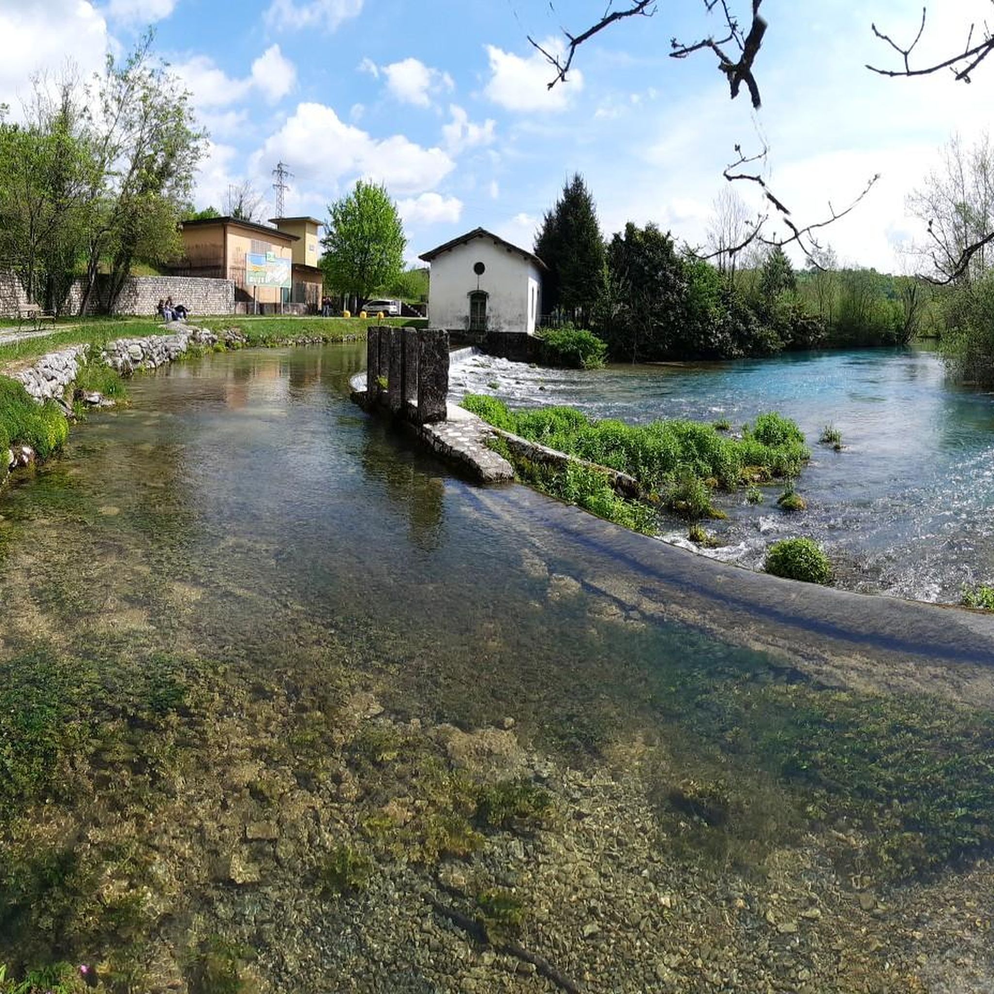
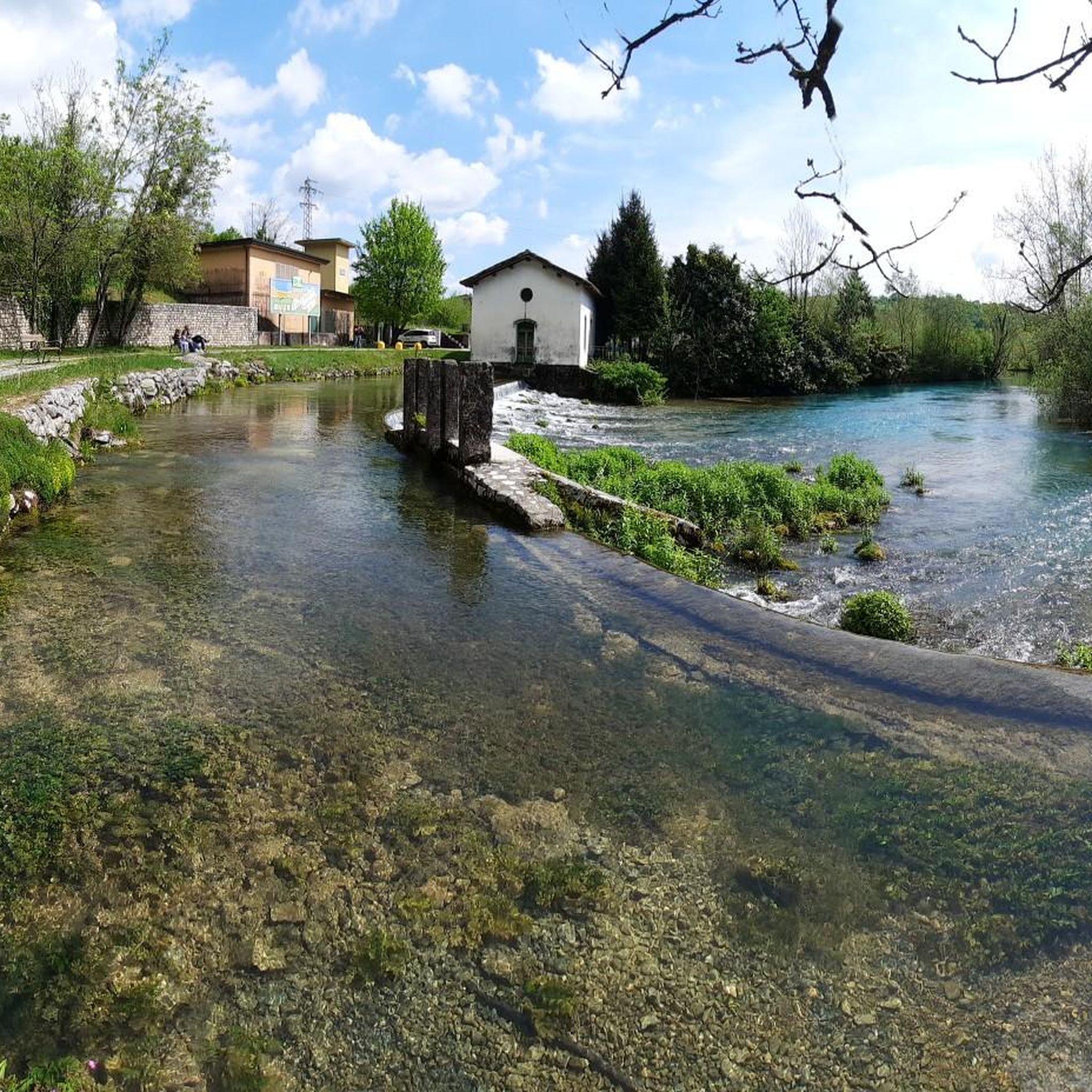
Gravel biking around Polcenigo offers diverse landscapes, from the water-rich Livenza River basin to forested hills and Pre-Alpine foothills. The region is characterized by numerous streams, brooks, and springs, alongside agricultural land and wooded slopes. Terrain suitable for gravel biking includes comfortable forest tracks, rural roads, and unpaved sections, providing varied surfaces for exploration. This blend of natural features creates a dynamic environment for off-road cycling.
Best gravel bike trails around Polcenigo
- The most popular gravel bike trail is Torrente…
Last updated: October 7, 2026
4.9
(76)
554
riders
36.9km
03:46
760m
760m
Hard gravel ride. Very good fitness required. Mostly paved surfaces. Suitable for all skill levels.
4.8
(4)
36
riders
56.4km
05:55
1,830m
1,830m
Hard gravel ride. Very good fitness required. You may need to push your bike for some segments of this route.

4.9
(102)
869
riders
51.3km
04:09
1,200m
1,200m
Hard gravel ride. Very good fitness required. Mostly paved surfaces. Suitable for all skill levels.
5.0
(9)
178
riders
54.0km
03:48
1,190m
1,190m
Hard gravel ride. Very good fitness required. Mostly paved surfaces. Suitable for all skill levels.
4.8
(11)
77
riders
32.5km
02:20
670m
670m
Hard gravel ride. Very good fitness required. Mostly paved surfaces. Suitable for all skill levels.
Get access to more routes and recommendations from other explorers.
Already have an account?
Our route recommendations are based on thousands of hikes, rides, and runs completed by other people on komoot.
Start today with a free account
Your next adventure awaits.

Other adventures around Polcenigo

Tips from the Community

The Pian del Cansiglio is a vast plateau located in the Belluno Prealps at an altitude between 900 and 1,200 meters above sea level. It extends across the Veneto region (provinces of Belluno and Treviso) and Friuli-Venezia Giulia (province of Pordenone). Its famous and immense forest – composed mainly of beech and Norway spruce – is considered one of the largest and most fascinating in Italy, historically known as the "Bosco della Serenissima" because the Republic of Venice drew timber from it for the oars of its ships.
0
0

Il Ristoro Crosetta, located at an altitude of 1,118 meters on the homonymous pass that connects the Treviso plain to the Cansiglio plateau, is a historic and unmissable stop for hikers, cyclists, and motorcyclists. This cozy stone and wood structure embodies the quintessence of mountain hospitality, offering a regenerating refuge in every season. The cuisine offers the authentic flavors of the Veneto-Belluno tradition, featuring game dishes, typical Cansiglio cheeses, warm polenta, and fresh mushrooms, all accompanied by homemade desserts and a good glass of local wine. Nestled in a centuries-old beech and fir forest, the establishment boasts a strategic position that makes it the ideal starting point or refreshment stop for exploring the numerous surrounding nature trails, offering an old-world atmosphere for relaxation and good food.
0
0

the charm of this forest and the silence
0
0
Nestled at the foot of the Cavallo ridge, in the municipality of Budoia, Dardago is a village where time seems to flow with the same constancy as the waters of the Artugna stream. Characterized by spontaneous architecture in local stone, the historic center winds through narrow alleys and courtyards that bear witness to an authentic rural past. The church of Santa Maria Maggiore dominates the settlement, but it is the surrounding nature that defines the identity of the place: the trails that climb towards the mountain pastures offer panoramas ranging from the Friulian plain to the sea. The agricultural tradition lives on today in the valorization of typical products and in an atmosphere of rare tranquility, making this village a fundamental stop for those seeking genuine and silent contact with the roots of the Pedemontana.
0
0

A quick visit to Gorgazzo, a magical place, is a must! To see the spring, if you are on a bike, it is advisable to go on foot, the ground is not ideal for road bikes. Visit-able in every season.
0
0

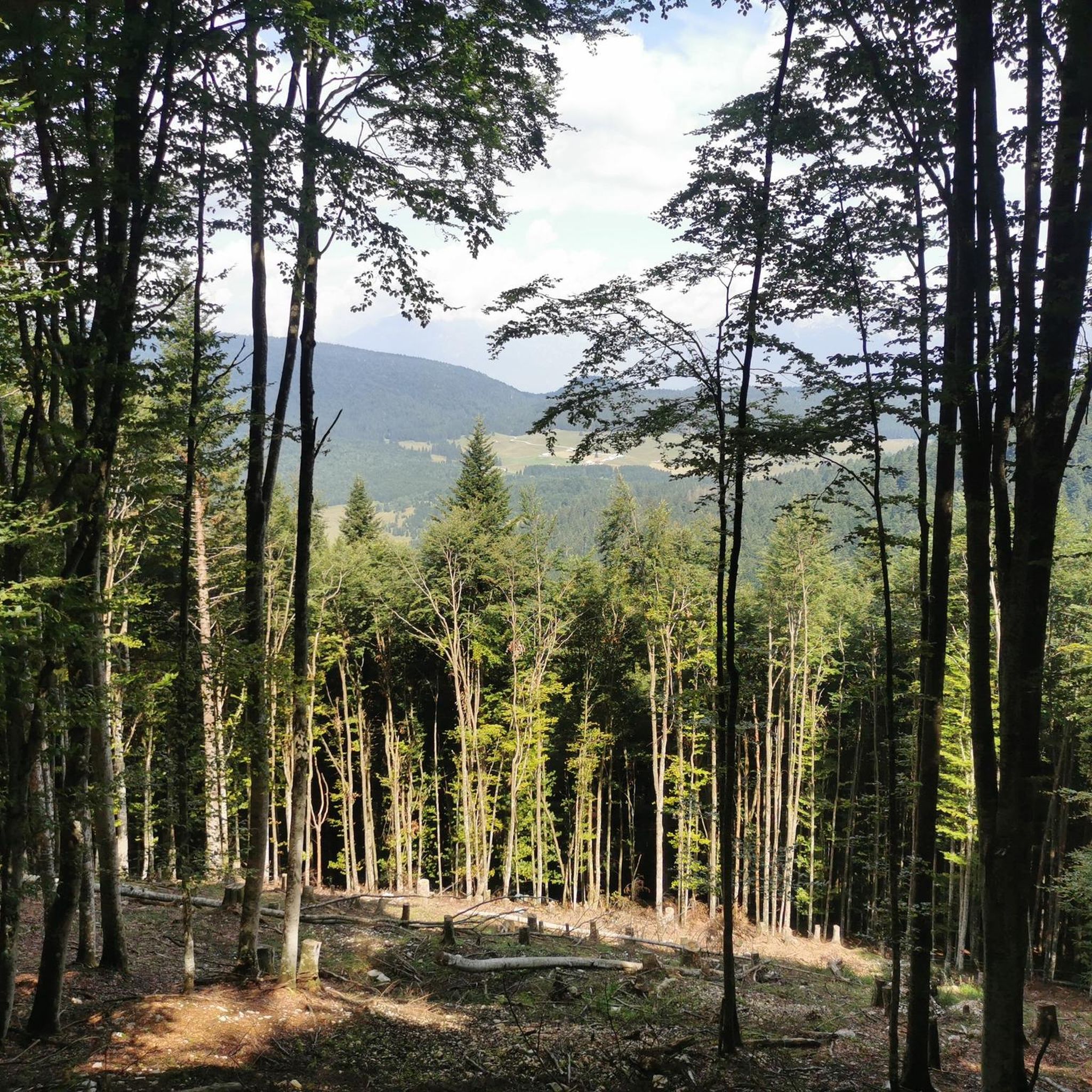
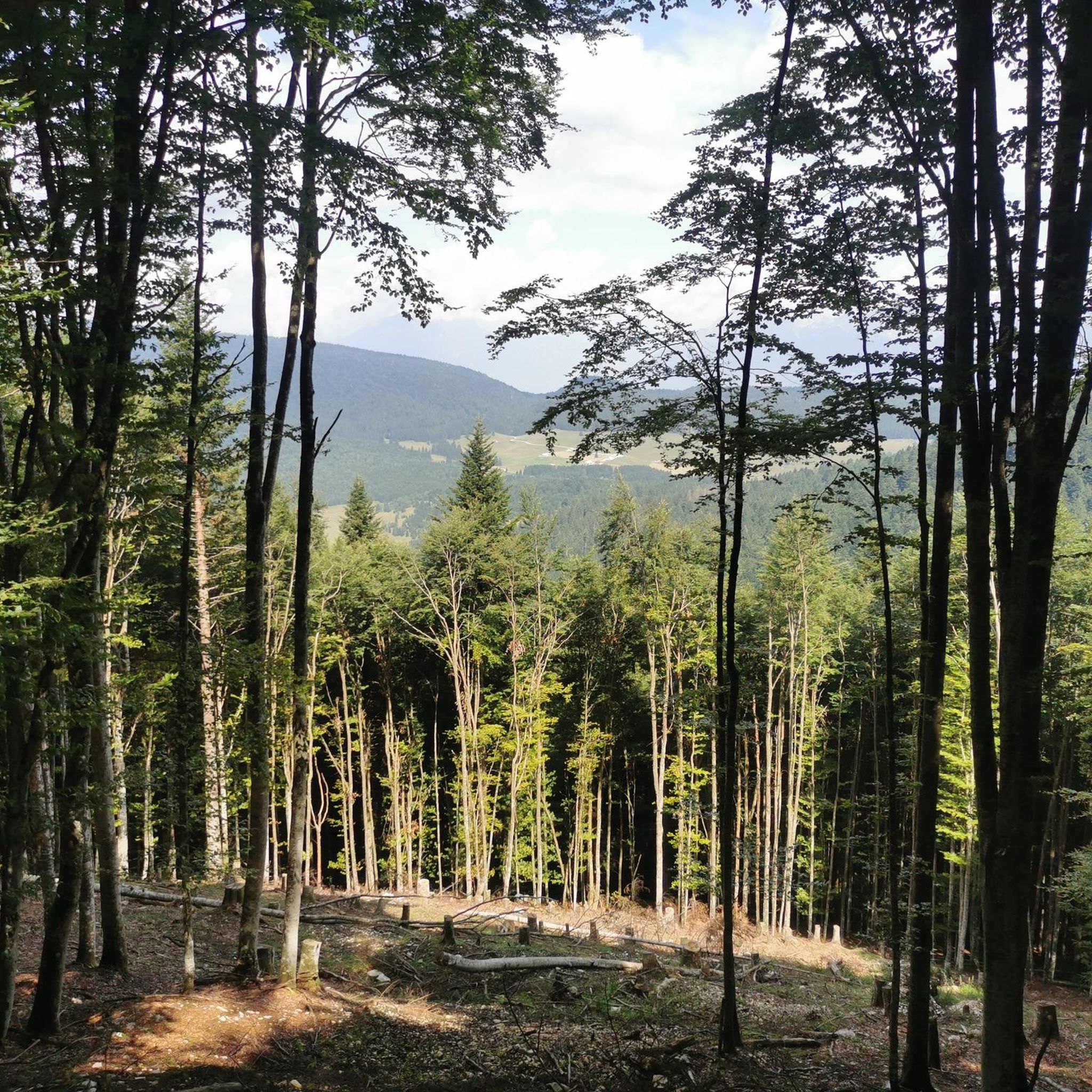
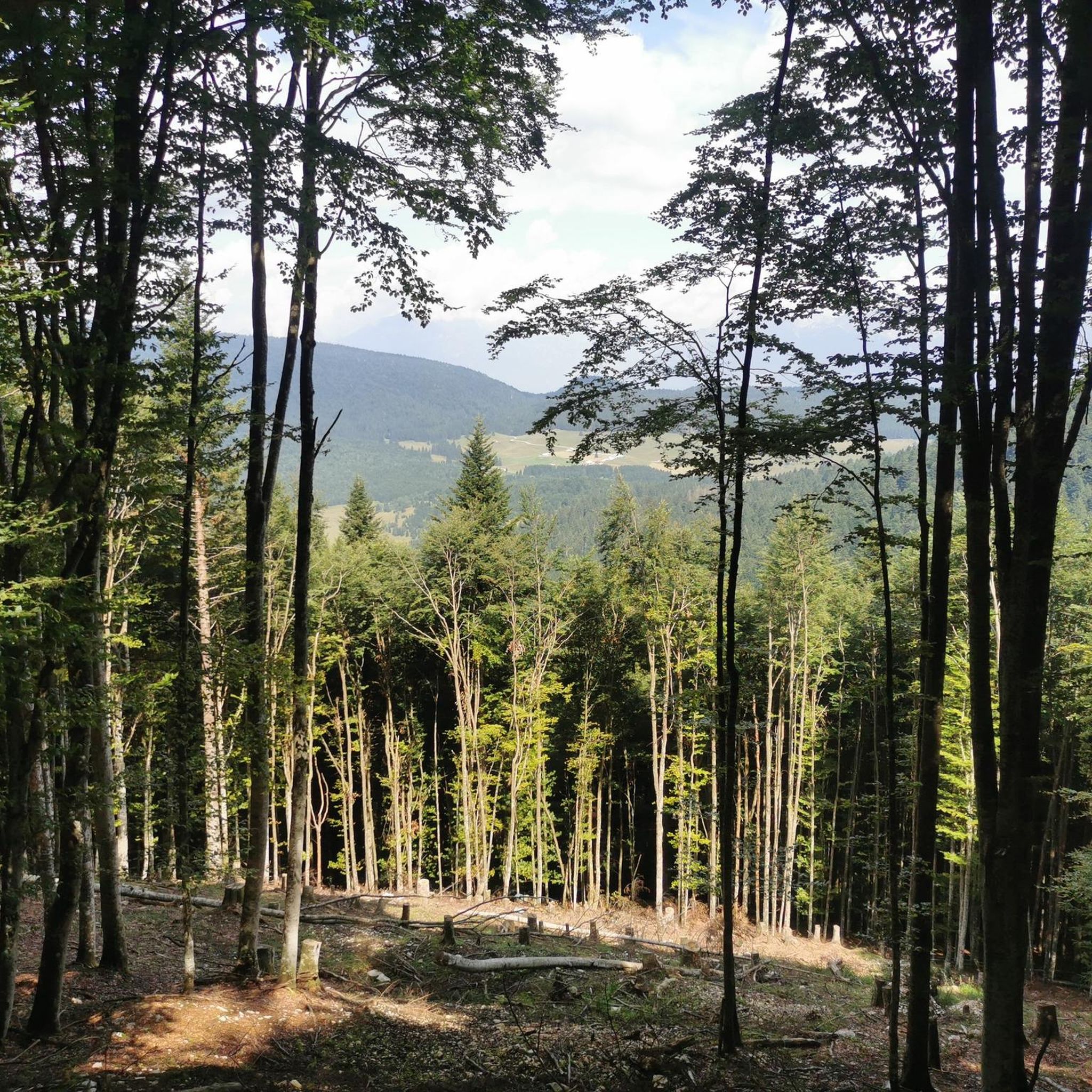
beautiful beech forest, gravel road
0
0

Unlike the classic Cansiglio loop, from Crosetta we descended towards Fregona for about 500 meters until reaching the 14% climb that leads to the Malghe trail. The route runs through Friuli Venezia Giulia, in the municipalities of Caneva and Polcenigo, through pastures. At km 7.41, we turn left to reach the Candaglia Forestry House and then resume the classic tour. We then reach Sant'Anna and Broz. From there, we climb back up to Campon to join the Taffarel.
1
0

If you climb the hill on a clear day, you have a view of Venice, the Jesolo coast and the entire Veneto-Friuli plain.
0
0
Frequently Asked Questions
How many gravel bike trails are available around Polcenigo?
Polcenigo offers a wide selection of gravel biking routes, with over 70 trails to explore. These range from easy, leisurely rides to more challenging excursions through varied terrain.
What are the difficulty levels of gravel bike trails in Polcenigo?
The gravel bike trails around Polcenigo cater to various skill levels. You'll find a good mix of routes, including 6 easy trails, 29 moderate options, and 39 difficult routes for more experienced riders. This ensures there's something for everyone, from casual cyclists to seasoned gravel bikers.
Are there any beginner-friendly gravel routes in Polcenigo?
Yes, Polcenigo has several beginner-friendly options. The region offers easy off-road trails directly from the village center, leading to places like the San Floriano church and its rural park. These routes often feature modest elevation gains and are suitable for all types of cyclists, including amateurs.
Which routes are recommended for experienced gravel bikers seeking a challenge?
For experienced gravel bikers, the region offers several challenging routes. The Candaglia Forest Road – Strada del Taffarel loop from Area Wilderness Pian de le Stele is a difficult 31.9-mile (51.3 km) path with over 1200 meters of elevation gain. Another demanding option is the Ring tour on Cansiglio from Dardago, which covers over 56 km with significant climbing. These routes often incorporate the historic Strada del Taffarel, winding through beech forests and reaching higher elevations.
What is the best time of year for gravel biking in Polcenigo?
The warmer months, from early spring through autumn, are ideal for gravel biking in Polcenigo. Autumn is particularly scenic, as the beech forests along routes like the Strada del Taffarel offer a unique spectacle with changing foliage colors. During warmer periods, you can also enjoy the region's waterways, with opportunities for canoeing on the Livenza River.
Are there any scenic gravel routes with viewpoints or natural wonders?
Absolutely. Polcenigo is known as 'Friuli's green jewel box' due to its abundant nature and waterways. Many routes will take you past the stunning Sorgenti del Gorgazzo, known for its crystal-clear, deep blue waters. The Strada del Taffarel offers beautiful forest views, especially in autumn. You can also find routes that provide panoramic views of the valley, particularly those venturing into the Western Carnic Prealps.
Can I find routes that are circular or loop back to the starting point?
Yes, many of the gravel bike routes around Polcenigo are designed as loops, allowing you to start and finish in the same location. Examples include the Torrente Artugna – Vigonovo Gravel Road loop from Budoia - Polcenigo and the Strada della Candaglia – Candaglia Forest Road loop from Passo Crosetta. These circular routes make planning your ride more convenient.
Are there any gravel routes that pass by historical sites or cultural attractions?
Polcenigo itself is one of 'Italy's Most Beautiful Villages,' offering charming historical exploration. Routes often pass through areas of historical interest like Coltura, Santissima, and San Giovanni. You can also find the UNESCO World Heritage site of Palù di Livenza, an archaeological site preserving remains of a Palaeolithic pile-dwelling village, accessible via some trails. The village also features historical palaces and churches like the Chiesa di San Giacomo Apostolo.
What do other gravel bikers say about the trails in Polcenigo?
The gravel biking routes in Polcenigo are highly regarded by the komoot community, with an impressive average rating of 4.6 stars from over 270 reviews. Reviewers often praise the diverse landscapes, the mix of comfortable forest tracks and rural roads, and the stunning natural features like the numerous springs and the Livenza River. Many appreciate the variety of terrain suitable for different skill levels.
Are there any routes that feature water sources or potential wild swimming spots?
The region is rich in water features, making it ideal for those interested in natural springs and rivers. The Sorgenti del Gorgazzo is a true natural wonder with crystal-clear waters, and the Sorgenti della Santissima is the source of the Livenza River. While specific wild swimming spots are not always marked, the Livenza River itself is known for its calm, deep waters, and the area's numerous springs offer refreshing views and natural beauty along many routes.
What kind of terrain can I expect on Polcenigo's gravel bike trails?
Polcenigo's gravel bike trails offer a diverse mix of terrain. You can expect comfortable forest tracks, rural dirt roads, secondary asphalt roads, and natural paths. This variety makes the region suitable for gravel bikes, cyclocross bikes, and mountain bikes, providing a dynamic environment for off-road cycling.
Most popular routes around Polcenigo
Most popular attractions around Polcenigo

Get inspired with the komoot mobile app


Explore more
Browse the best Gravel rides in other regions.
