The best gravel rides around Eilenriede-Nord
4.5
(1922)
9,103
riders
366
rides
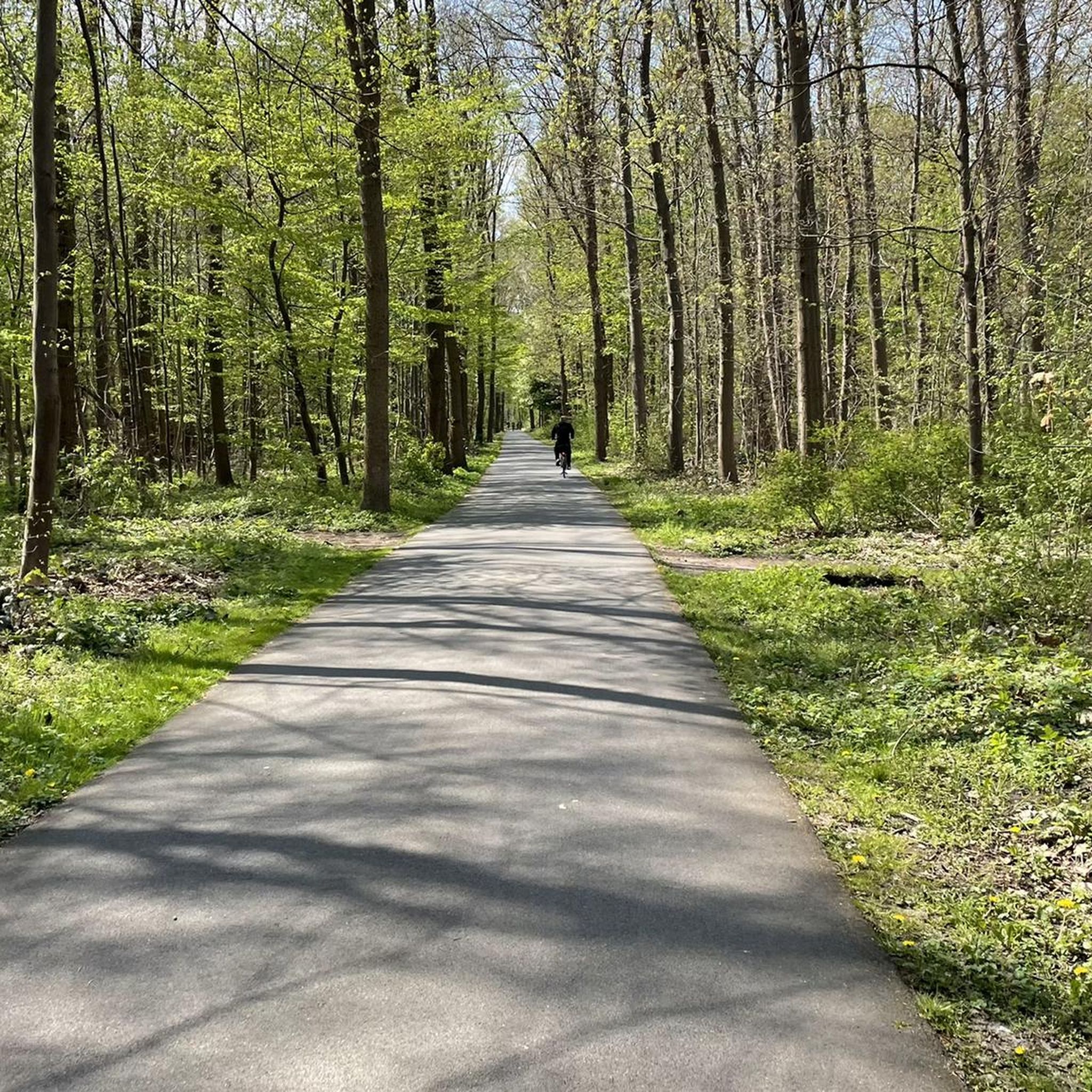
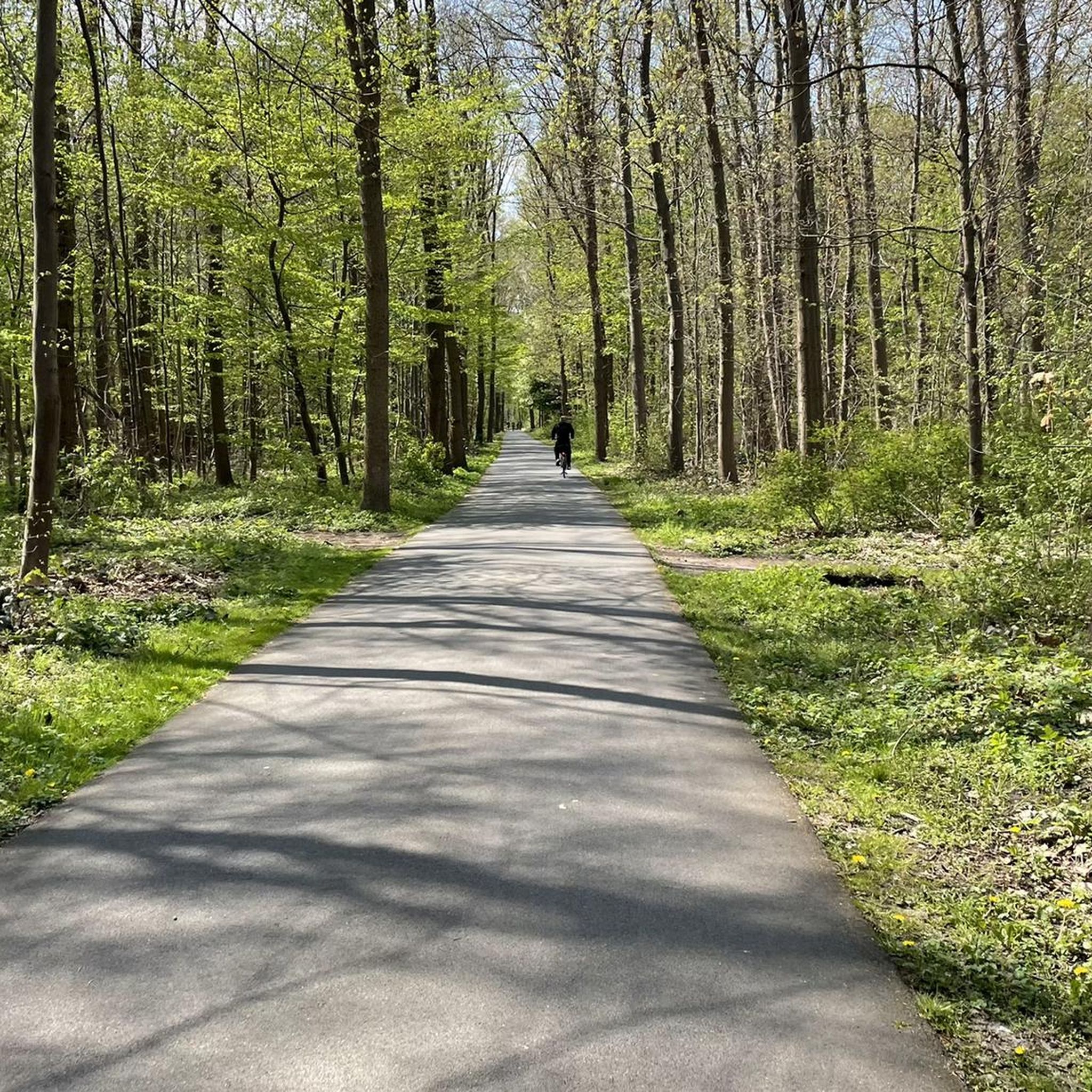
Gravel biking around Eilenriede-Nord offers routes through an extensive urban forest, characterized by a diverse network of paths, canals, and lakes. The terrain is generally flat to gently rolling, with minimal elevation gain, making it suitable for various skill levels. This region features a mix of paved sections and unpaved tracks, connecting natural areas with urban surroundings. The Eilenriede forest, one of Europe's largest inner-city forests, provides a varied riding experience with its oak and beech trees, clearings, and natural features.
Best gravel bike trails around Eilenriede-Nord
- The most popular gravel bike trail is Mittelland Canal Cycle Path – Nordhafen Rest Area loop from Lister Platz, an 18.1 miles (29.1 km) trail that takes 1 hour 26 minutes to complete, following the Mittelland Canal.
- Another top favourite among local gravel bikers is View of Altwarmbüchener Lake – Altwarmbüchener Lake loop from Hannover-Kleefeld, an easy 20.7 miles (33.4 km) path. This route leads through the area surrounding Altwarmbüchener Lake.
- Local gravel bikers also love the View of Altwarmbüchener Lake – Lake Altwarmbüchen loop from Lister Platz, a 24.3 miles (39.0 km) trail leading through the area surrounding Altwarmbüchener Lake, often completed in about 1 hour 54 minutes.
- Gravel biking around Eilenriede-Nord is defined by its network of paths along canals, around lakes, and through urban green spaces within the Eilenriede forest. The network offers options for easy gravel bike trails as well as moderate and more challenging routes.
- The routes in Eilenriede-Nord are highly rated by the komoot community with an average score of 4.5 stars from over 1,600 reviews. More than 8,000 gravel bikers have used komoot to explore Eilenriede-Nord's varied terrain.
Last updated: July 2, 2026
4.4
(22)
120
riders
Easy gravel ride. Great for any fitness level. Mostly paved surfaces. Suitable for all skill levels.
4.4
(25)
120
riders
Easy gravel ride. Great for any fitness level. Mostly paved surfaces. Suitable for all skill levels.

Sign up for free
4.7
(17)
79
riders
38.4km
01:52
100m
100m
Easy gravel ride. Great for any fitness level. Mostly paved surfaces. Suitable for all skill levels.
4.4
(10)
61
riders
Easy gravel ride. Great for any fitness level. Mostly paved surfaces. Suitable for all skill levels.
5.0
(1)
18
riders
135km
08:34
1,260m
1,260m
Hard gravel ride. Very good fitness required. Mostly paved surfaces. Suitable for all skill levels.
Get access to more routes and recommendations from other explorers.
Sign up for free
Already have an account?
Our route recommendations are based on thousands of hikes, rides, and runs completed by other people on komoot.
Start today with a free account
Your next adventure awaits.
Login or Signup
Tips from the Community

One should not expect too much from Hannover's harbor. But what these cranes are shipping away is quite a sight.
0
0

The circular route around the lake is very well passable and also wide. Nevertheless, please be careful - Even this wide path can quickly become narrow with oncoming traffic, pedestrians, dog walkers. Keep your eyes open and ride sensibly ;-)
0
0

Interesting path below, around the castle.
0
0

The Altwarmbüchener See recreation area is perfect for a stroll any time of year. Numerous benches invite you to linger. There is plenty of flora and fauna to discover.
1
0

The castle is home to the Hall Art Foundation, a great stop for art lovers. Changing contemporary art exhibitions await you within the castle walls, and a sculpture park is spread throughout the grounds. All information about opening hours and current exhibitions can be found here: http://www.hallartfoundation.org/de/
0
0

The entire circular path around the lake is beautiful.
0
0

The summit cross on the Kronsberg marks Hanover's highest point – 118 meters above sea level. It stands on an artificially raised observation hill on the southeastern outskirts of the city, near the Expo site. From here, you can enjoy a sweeping view of the city, the Deister Mountains, and the surrounding countryside.
9
0

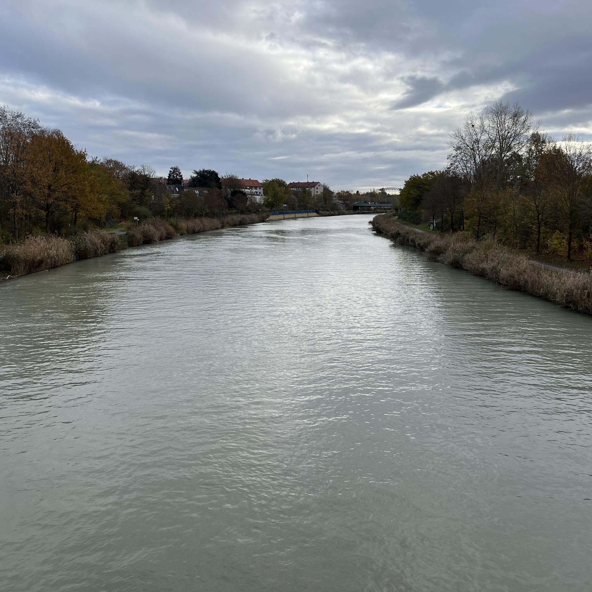
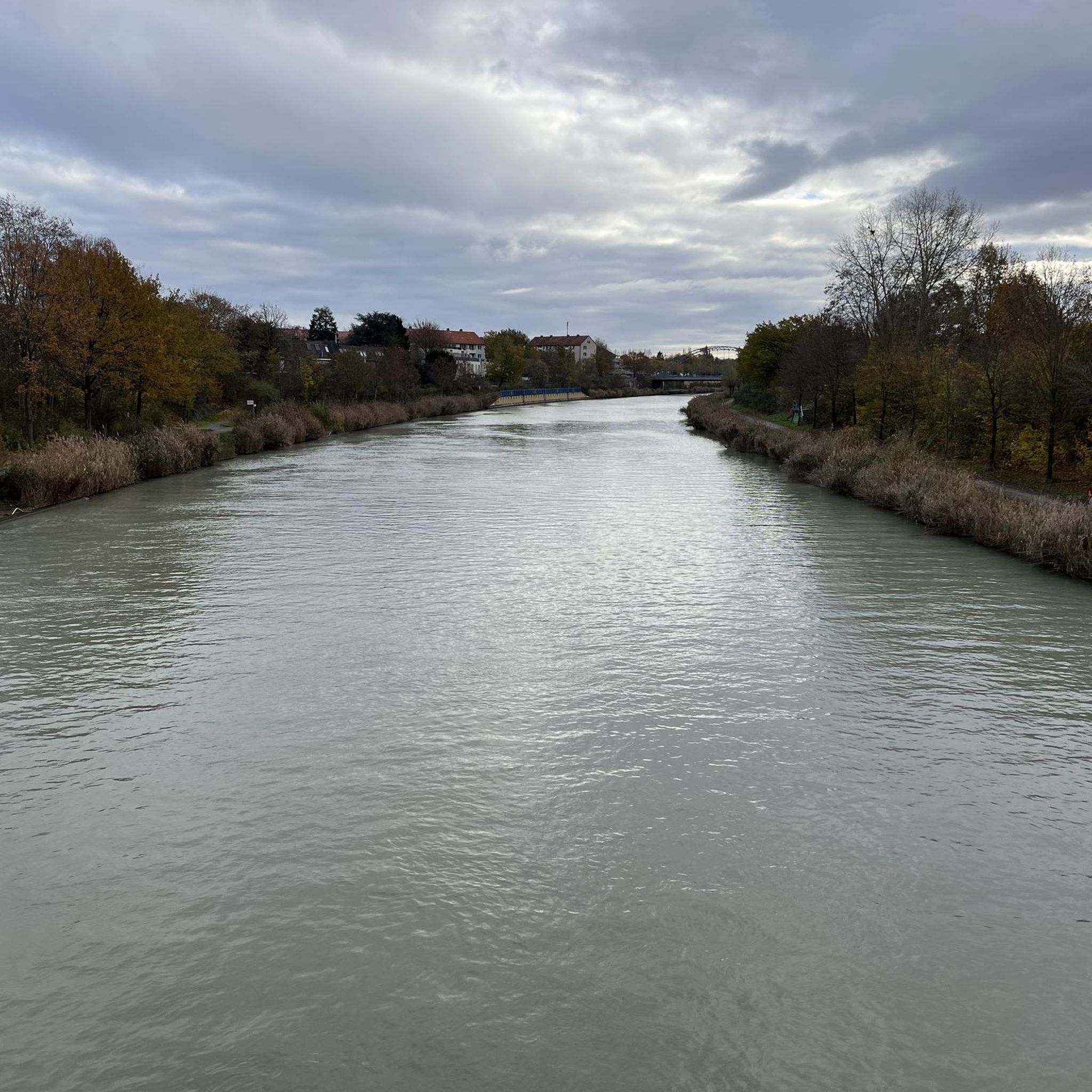
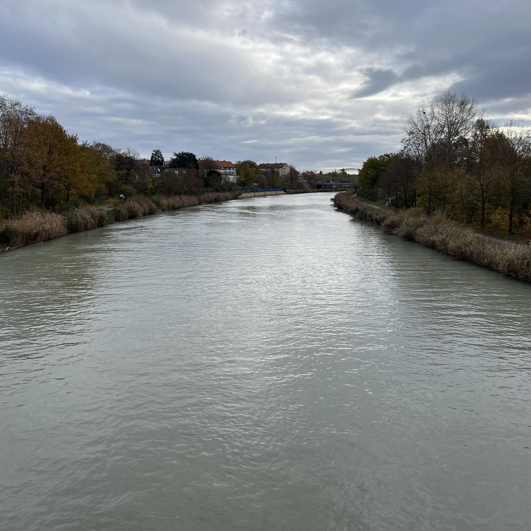
The Tannenbergallee Bridge over the Mittelland Canal is a real insider tip in Hanover. From here, you have a wonderful view of the canal, especially as the sun sets over the horizon in the evening. ✨ Whether it's a romantic date, a small picnic, or simply a relaxing moment after a day's sightseeing – the atmosphere here is unique. The passing boats and the reflection of the sun in the water make this place truly special.
1
0
Frequently Asked Questions
How many gravel bike trails are available in Eilenriede-Nord?
There are over 560 gravel bike trails in the Eilenriede-Nord region. This includes a wide variety of routes, with approximately 170 easy, 270 moderate, and 110 difficult options to choose from.
What is the general terrain like for gravel biking in Eilenriede-Nord?
The terrain in Eilenriede-Nord is characterized by urban parkland, canals, and lakes. Routes are generally flat to gently rolling, with minimal elevation gain, making them accessible for various skill levels. You'll find a mix of paved sections and unpaved tracks connecting natural areas with the urban surroundings.
Are there gravel bike trails suitable for beginners in Eilenriede-Nord?
Yes, Eilenriede-Nord offers many easy gravel bike trails perfect for beginners. An excellent option is the Paved Pathway Along Maschsee – Maschsee North Shore loop from Lister Platz, which is 16.1 miles (25.9 km) long and offers pleasant views of Maschsee lake on a mostly paved surface.
Are there any longer or more challenging gravel routes for experienced riders?
For those seeking a longer ride, the Silver Lake, Langenhagen – View of the Wietzesee loop from Oststadt is a moderate 39.5 miles (63.6 km) route that takes you past Silver Lake and Wietzesee. While the region is generally flat, this route offers a good distance challenge.
What kind of attractions can I see along the gravel bike trails in Eilenriede-Nord?
Many trails in Eilenriede-Nord offer sights such as the Eilenriede North Cycle Path itself, the historic Lister Tower, and unique features like The "wheel" - lawn labyrinth in the Eilenriede. You might also spot the Fabeltier Statue in Eilenriede.
Are there any loop trails for gravel biking in Eilenriede-Nord?
Yes, many gravel bike routes in Eilenriede-Nord are designed as loops. For example, the popular Mittelland Canal Cycle Path – Nordhafen Rest Area loop from Lister Platz is an 18.1 miles (29.1 km) circular route following the Mittelland Canal, and the View of Altwarmbüchener Lake – Altwarmbüchener Lake loop from Hannover-Kleefeld circles Altwarmbüchener Lake.
What do other gravel bikers enjoy most about the trails in Eilenriede-Nord?
The gravel bike trails in Eilenriede-Nord are highly rated by the komoot community, with an average score of 4.5 stars from over 2,200 reviews. Riders often praise the well-maintained network of paths, the scenic views along canals and lakes, and the accessibility of urban green spaces.
Are there any routes that pass by significant waterways or locks?
Yes, the region is known for its waterways. The View of Anderten Lock – Mittelland Canal at Anderten loop from Lister Platz is a great option, offering a 14.4 miles (23.2 km) ride that takes you past the notable Anderten Lock on the Mittelland Canal.
Are there places to stop for refreshments or food along the trails?
While specific cafes vary by route, the region's urban proximity means many trails pass near areas with dining options. For instance, the Steuerndieb Restaurant & Hotel is a known spot in the Eilenriede area that could serve as a convenient stop.
What is the best time of year for gravel biking in Eilenriede-Nord?
Gravel biking in Eilenriede-Nord is enjoyable for much of the year. Spring and autumn offer pleasant temperatures and beautiful foliage, while summer is ideal for longer days. Even in winter, many of the well-maintained paths remain accessible, though conditions may vary.
Is Eilenriede-Nord suitable for family-friendly gravel biking?
Absolutely. The generally flat and gently rolling terrain, combined with numerous easy routes and a network of paths through urban parkland, makes Eilenriede-Nord very suitable for family-friendly gravel biking. Routes around lakes and through green spaces provide safe and enjoyable experiences for all ages.
Most popular routes around Eilenriede-Nord
Most popular attractions around Eilenriede-Nord

Get inspired with the komoot mobile app


Explore more
Browse the best Gravel rides in other regions.
