The best gravel rides around Tharandter Wald
4.5
(51)
308
riders
70
rides
Gravel biking around Tharandter Wald offers a diverse environment southwest of Dresden, covering approximately 6,000 hectares of continuous forest. The landscape features gentle hills, deeply cut stream valleys, and extensive mixed forests. Geological formations include sandstone and volcanic basalt, adding varied terrain to the routes. This region provides a well-developed network of paths suitable for gravel biking.
Best gravel bike trails around Tharandter Wald
- The most popular gravel bike trail is Stream in Tharandter Wald – Grillenburg Hunting Lodge loop…
Last updated: July 3, 2026
6
riders
29.6km
01:42
350m
350m
Moderate gravel ride. Good fitness required. Mostly paved surfaces. Suitable for all skill levels.
4.0
(1)
4
riders
21.4km
01:18
240m
240m
Moderate gravel ride. Good fitness required. Mostly paved surfaces. Suitable for all skill levels.

Sign up for free
5.0
(1)
3
riders
57.1km
03:48
870m
870m
Hard gravel ride. Very good fitness required. You may need to push your bike for some segments of this route.
5
riders
Hard gravel ride. Very good fitness required. Mostly paved surfaces. Suitable for all skill levels.
5.0
(2)
4
riders
38.8km
02:40
570m
570m
Hard gravel ride. Very good fitness required. Mostly paved surfaces. Suitable for all skill levels.
Get access to more routes and recommendations from other explorers.
Sign up for free
Already have an account?
Our route recommendations are based on thousands of hikes, rides, and runs completed by other people on komoot.
Start today with a free account
Your next adventure awaits.
Login or Signup
Popular around Tharandter Wald

Hiking with heart in the Ore Mountains
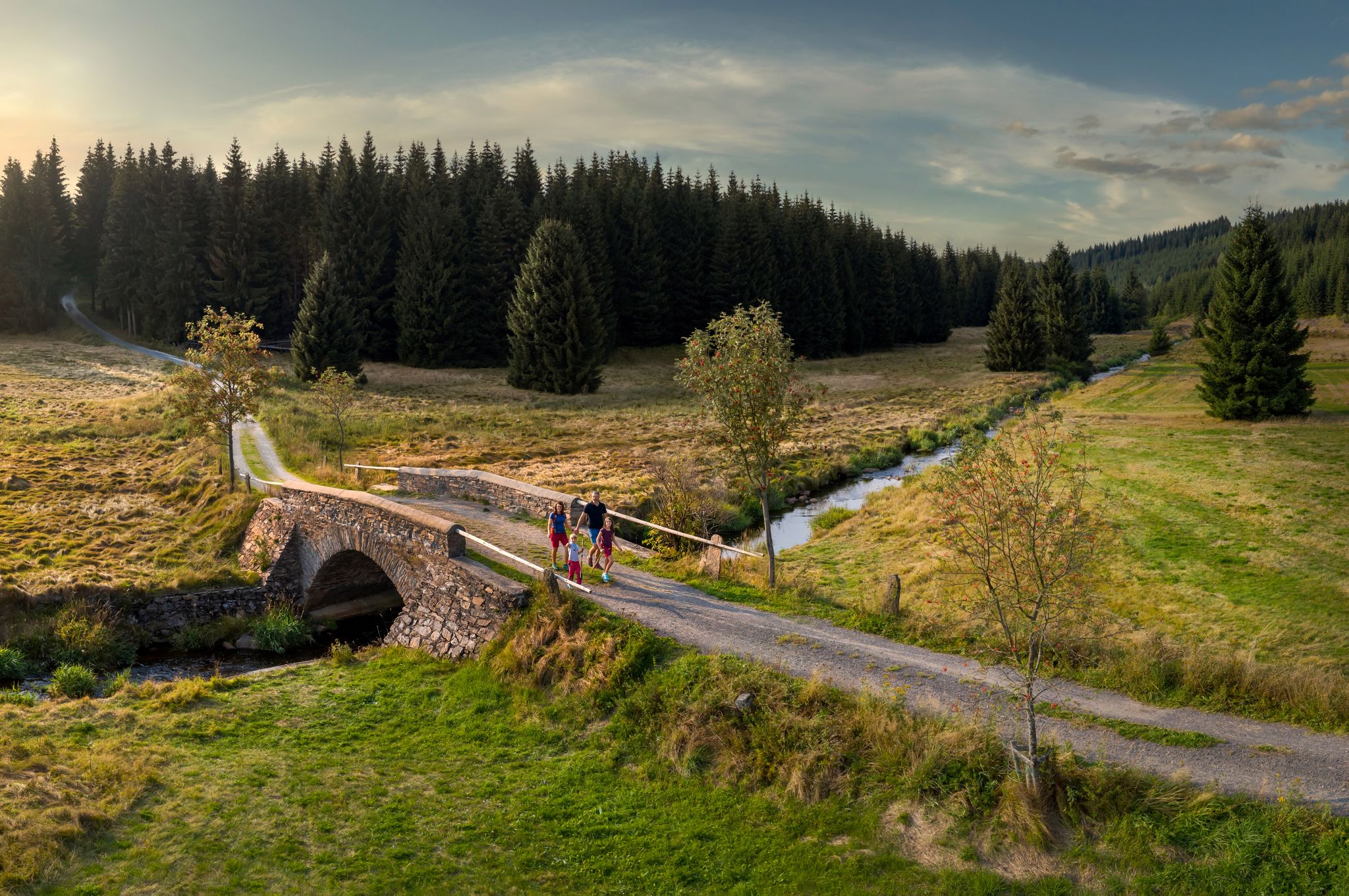
‘Good luck’ in the hiking paradise of the Ore Mountains
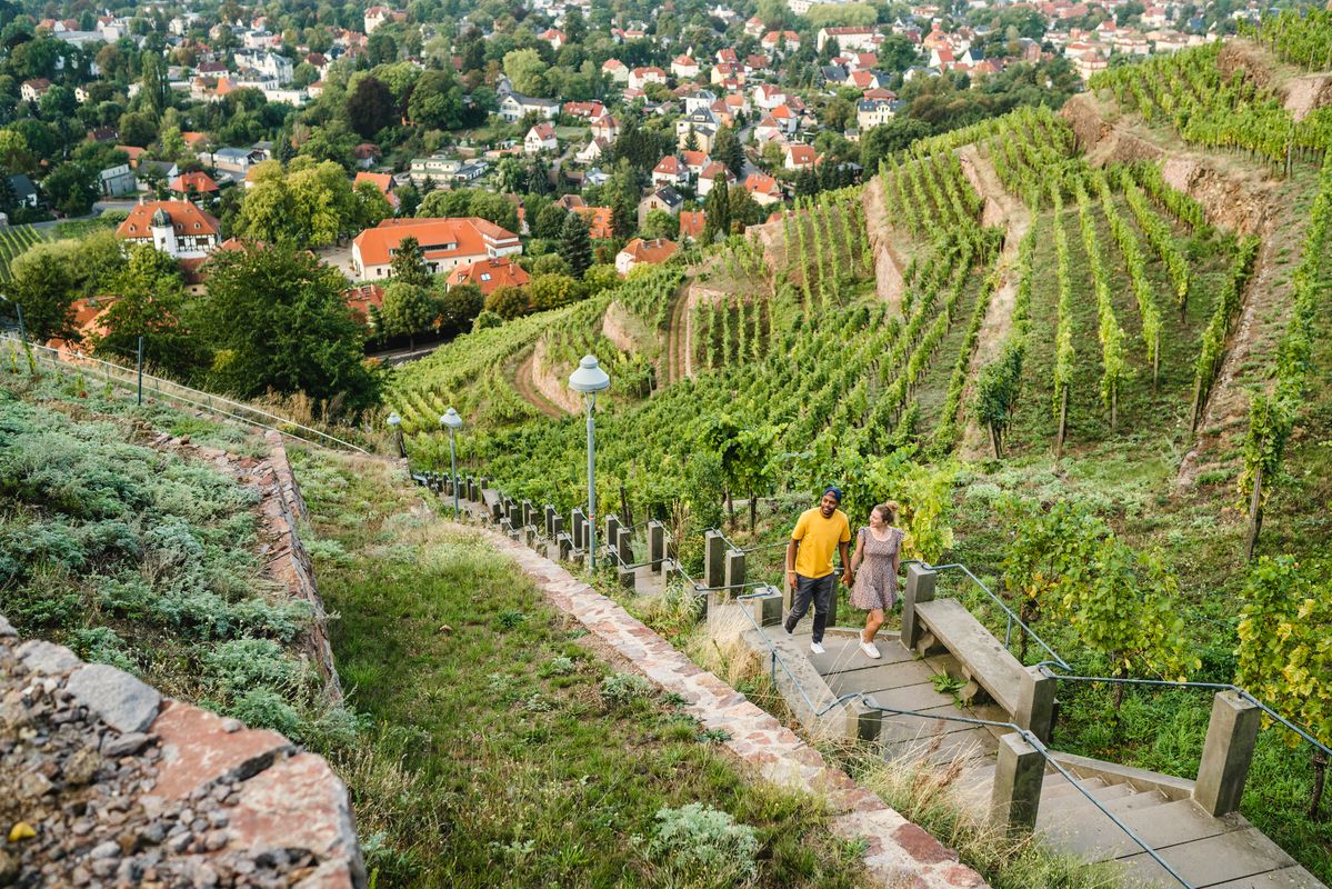
Great places closer to home – nature and fun in the Dresden Elbland
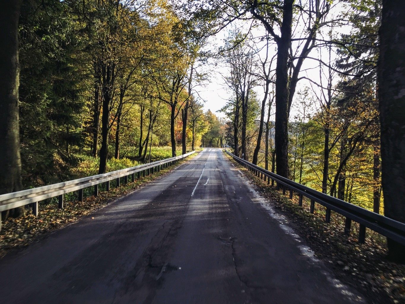
Weekend tours in the Ore Mountains

Digitale Wandernadel

Wandertouren - Eisenbahn & Wanderstock
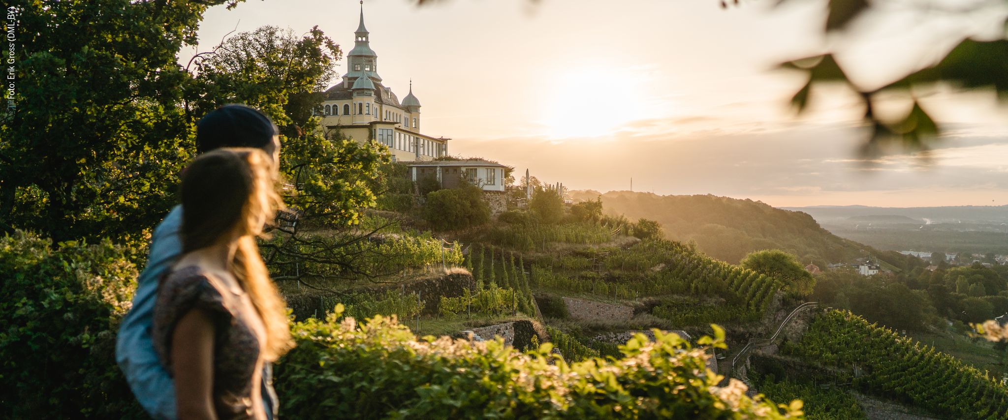
Natur entdecken – 10 Wandertouren abseits der Hauptpfade im Dresden Elbland
Hiking around Tharandter Wald
Cycling around Tharandter Wald
MTB Trails around Tharandter Wald
Other adventures around Tharandter Wald


Tips from the Community

The dam was built from 1908 onwards near Klingenberg in the foothills of the Ore Mountains, based on an architectural design by Hans Poelzig. In 1914, the dam went into operation and was named after the last Saxon king: Friedrich-August-Talsperre. The impounded body of water is the Wilde Weißeritz. Its construction was part of a flood protection concept that was developed after the devastating flood of 1897 by the district administration of Dresden-Altstadt under the leadership of District Administrator and Dam Commissioner Arnold Streit. During construction, a standard-gauge industrial railway was built from Klingenberg-Colmnitz station to the construction site, which operated from 1911 to 1914. The Höhenweg trail now runs along its route over the Streichholzbrücke bridge. (Wikipedia)
0
0


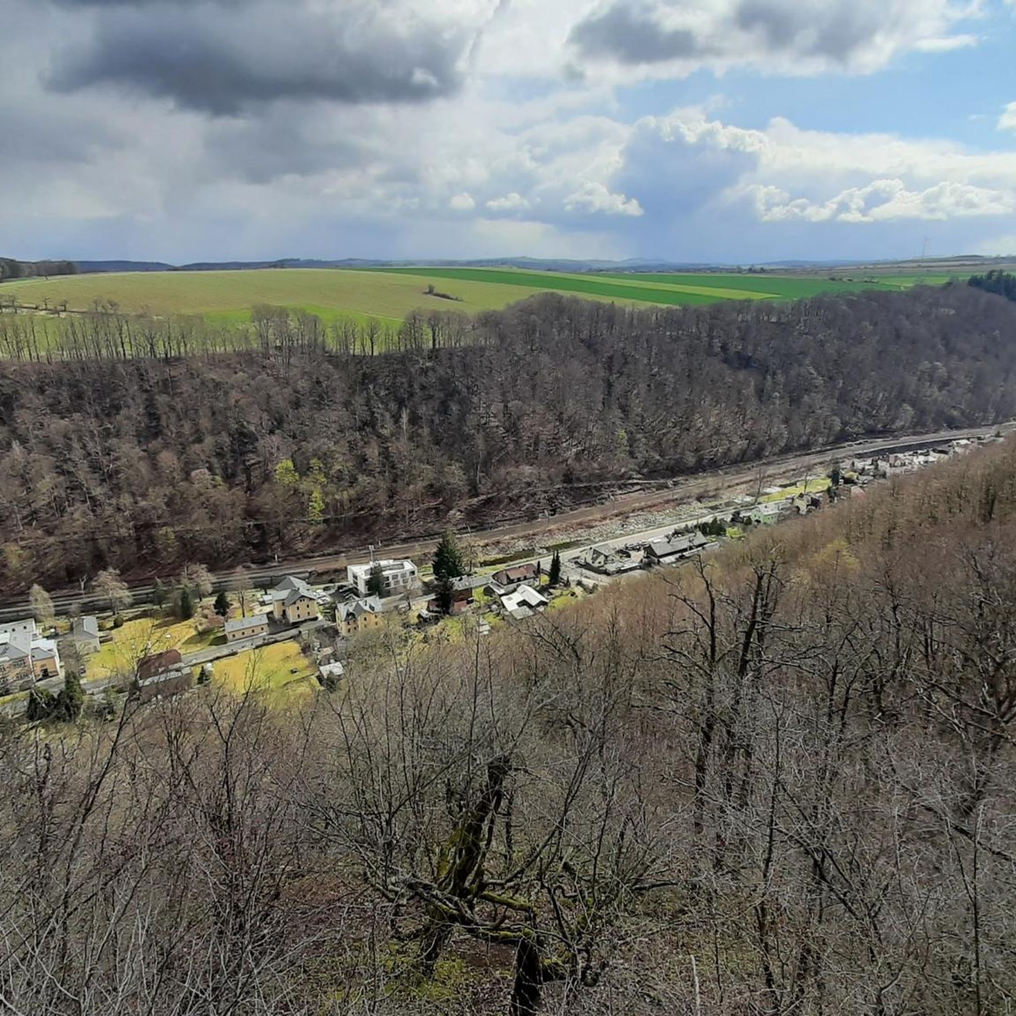
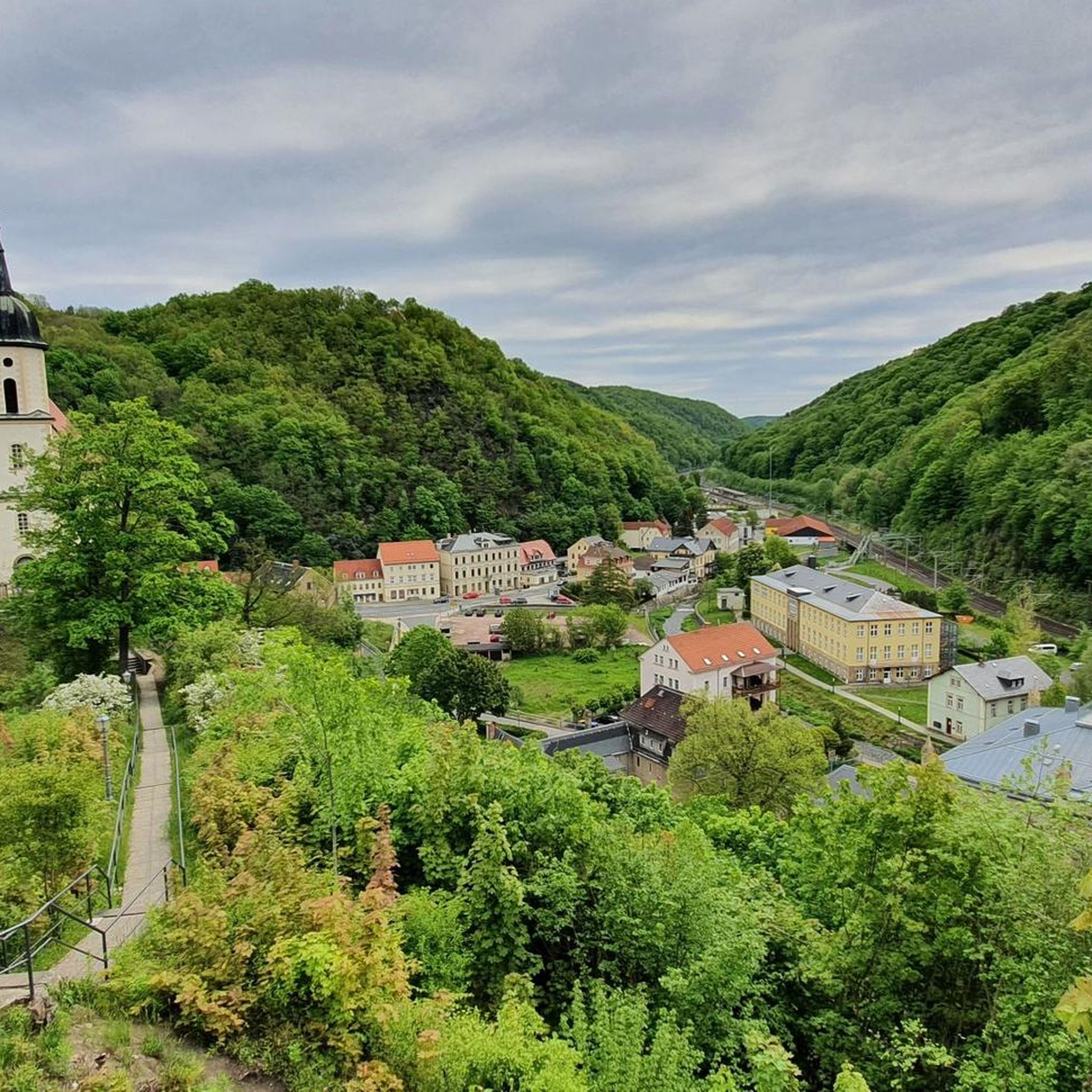
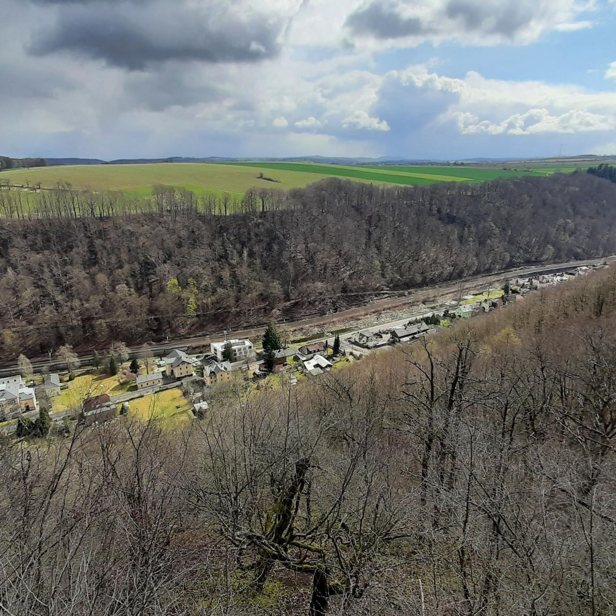
This is not the view of the Lichtenberg dam, but of the Klingenberg dam.
0
0

The Schlossteich in Grillenburg, with a water surface of approx. 21,000 square meters, invites you to go punting. There are 20 rowing boats available. After a relaxing punting trip, a break at the snack bar, which also offers plenty of seating, is worthwhile. https://www.dresden-elbland.de/de/poi/bootsverleih/gondelerlebnis-imbiss-grillenburg/805811735/
0
0
Bathing, gondola rides or simply enjoying...
1
0

It is simply wonderfully beautiful here 😊.
0
0

⛲Fountain Monument “Otto the Rich”: In the center of the square stands the monument to the city's founder, Margrave Otto of Meissen. The fountain, dating from 1897, is a popular meeting place and photo opportunity.
0
1

This impressive monument—also known as the Market Fountain—featuring a bronze statue of Margrave Otto the Rich (1125–1190), stands in the middle of the Upper Market Square and is a popular spot for people to linger and meet. Four water-spouting heraldic lions adorn the monument. It was erected in 1897. Furthermore, it is an old tradition among local students to bathe in the fountain after passing their exams. Otto the Rich, of the House of Wettin, is considered the founder of the city in 1180. https://www.goruma.de/staedte/freiberg/sehenswuerdigkeiten
0
1
Frequently Asked Questions
How many gravel bike trails are available in Tharandter Wald?
Tharandter Wald offers a wide selection of gravel biking routes, with over 100 trails available. These routes have been explored by nearly 400 gravel bikers using komoot, highlighting the region's popularity for this sport.
What kind of terrain can I expect on gravel bike trails in Tharandter Wald?
The terrain in Tharandter Wald is diverse, featuring gentle hills, deeply cut stream valleys, and extensive mixed forests. You'll encounter a mix of mostly paved surfaces, dirt/gravel roads, and other mixed terrain, providing a classic gravel biking experience. The geological formations, including sandstone and volcanic basalt, also contribute to the varied landscape.
Are there gravel routes for all skill levels in Tharandter Wald?
Yes, Tharandter Wald caters to various skill levels. While most of the 109 routes are moderate (55 routes) or difficult (50 routes), there are also 4 easy routes available. Routes range from those requiring good basic fitness to challenging ones demanding very good fitness and advanced riding skills.
What are some notable natural features or landmarks I can see along the gravel bike trails?
Tharandter Wald is rich in natural and historical attractions. You can explore the Jungfernloch Cave, visit the picturesque Lake Triebisch, or discover the Basalt Quarry and Hexenhäusl. The region also features unique geological sites like the Porphyry Fan in the Tharandt Forest and the Geographical Center of Saxony.
Are there any historical sites to visit while gravel biking in Tharandter Wald?
Absolutely. You can visit the historic Ruins of Tharandt Castle, which date back to the 13th century. Another significant historical point is Heinrich Cotta's Grave, honoring a pioneer of forestry.
What do other gravel bikers enjoy the most about gravel biking in Tharandter Wald?
The komoot community highly rates gravel biking in Tharandter Wald, with an average score of 4.5 stars from over 70 reviews. Riders often praise the diverse environment, the well-developed network of paths, and the varied terrain that makes each ride unique.
Are there any circular gravel bike routes in Tharandter Wald?
Yes, many of the gravel routes in Tharandter Wald are designed as loops. For example, you can try the Stream in Tharandter Wald – Grillenburg Hunting Lodge loop from Tharandt, which takes you through the forest to a historic lodge, or the Jungfernloch Cave – Lake Triebisch loop from Hetzdorf for a scenic ride.
Can I find routes that pass by reservoirs or other water bodies?
Yes, several routes offer views of the region's scenic water bodies. The Malter Dam – Malter Reservoir loop from Freital-Coßmannsdorf provides excellent views of the Malter Reservoir. Another option is the View of Klingenberg Reservoir – Klingenberg Dam loop from Kurort Hartha, which leads through the Klingenberg Reservoir area.
What is the best season for gravel biking in Tharandter Wald?
Tharandter Wald is enjoyable for gravel biking throughout much of the year. Spring brings wildflowers like wood anemones and wild garlic, while autumn offers vibrant foliage. The mixed forests provide shade in summer, and the varied terrain can be navigated in most conditions, though winter rides might require checking local trail conditions.
Are there any family-friendly gravel biking options in Tharandter Wald?
While many routes are moderate to difficult, the region does offer some easier paths suitable for families. Additionally, attractions like the WaldErlebnisPfad (Forest Adventure Path) in Grillenburg, with its play stations and educational information, can be incorporated into shorter, less strenuous rides for a family outing.
Is Tharandter Wald accessible by public transport for gravel bikers?
Yes, Tharandter Wald is generally accessible by public transport, especially from nearby towns like Tharandt and Freital. This allows you to reach starting points for many routes without needing a car. It's advisable to check local transport schedules for specific connections to your desired starting location.
Where can I find parking for gravel biking in Tharandter Wald?
Parking is available at various entry points to Tharandter Wald, particularly in and around the towns and villages bordering the forest, such as Tharandt, Freital, and Hetzdorf. Look for designated parking areas near trailheads or popular starting points for routes.
Are there any longer, more challenging gravel routes for experienced riders?
Experienced riders seeking a challenge will find several difficult routes. For instance, the Malter Dam – View of Klingenberg Reservoir loop from Tharandt is a demanding 57 km trail with significant elevation gain, offering a substantial ride for advanced gravel bikers.
Most popular routes around Tharandter Wald
Most popular attractions around Tharandter Wald

Get inspired with the komoot mobile app


Explore more
Browse the best Gravel rides in other regions.
