The best gravel rides around Bleicheröder Berge
5.0
(5)
38
riders
6
rides
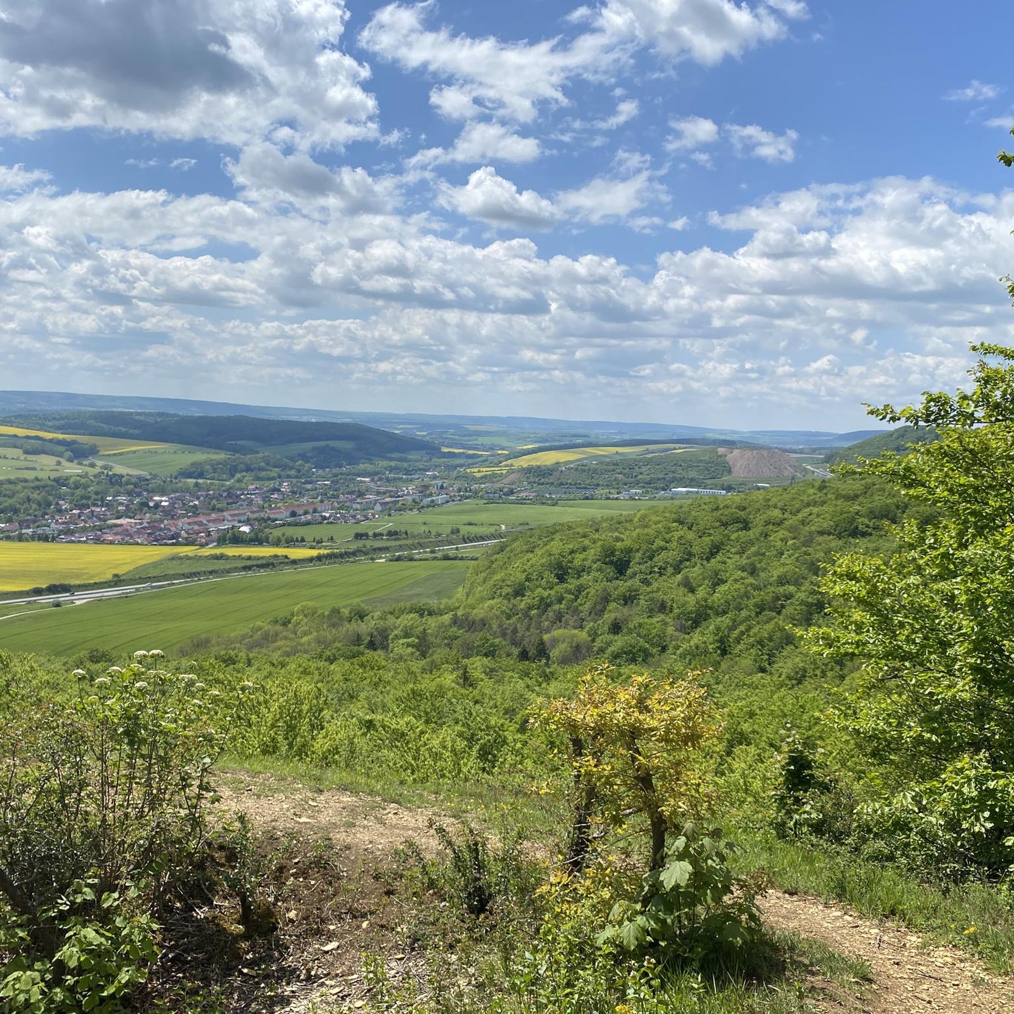
Gravel biking around Bleicheröder Berge offers routes through a landscape of heavily wooded, rolling hills, forming the foothills of the Ohm Hills in North Thuringia. The region features varied terrain, including forest tracks and sections of dedicated cycle paths, supported by predominantly Muschelkalk (limestone) soil. Elevations are generally moderate, with the highest point, Ziegenrück, reaching 460.8 meters above sea level. Rivers like the Bode, Wipper, and Krajaer Bach contribute to the topographical variety, providing opportunities for routes along river valleys.
…Last updated: July 2, 2026
4
riders
12.6km
00:51
120m
120m
Easy gravel ride. Great for any fitness level. Mostly paved surfaces. Suitable for all skill levels.
5.0
(1)
3
riders
25.8km
01:32
310m
310m
Moderate gravel ride. Good fitness required. Mostly paved surfaces. Suitable for all skill levels.

Sign up for free
5.0
(2)
3
riders
34.2km
02:13
470m
470m
Hard gravel ride. Very good fitness required. You may need to push your bike for some segments of this route.
2
riders
Hard gravel ride. Very good fitness required. You may need to push your bike for some segments of this route.
5.0
(1)
4
riders
34.7km
02:18
540m
540m
Hard gravel ride. Very good fitness required. You may need to push your bike for some segments of this route.
Our route recommendations are based on thousands of hikes, rides, and runs completed by other people on komoot.
Start today with a free account
Your next adventure awaits.
Login or Signup
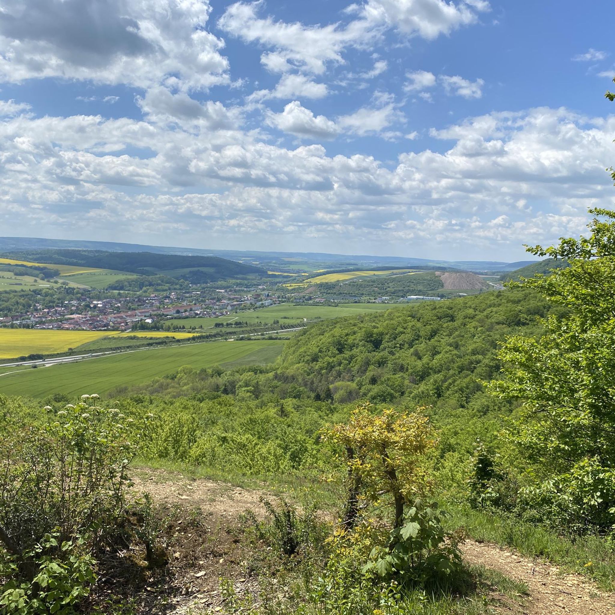
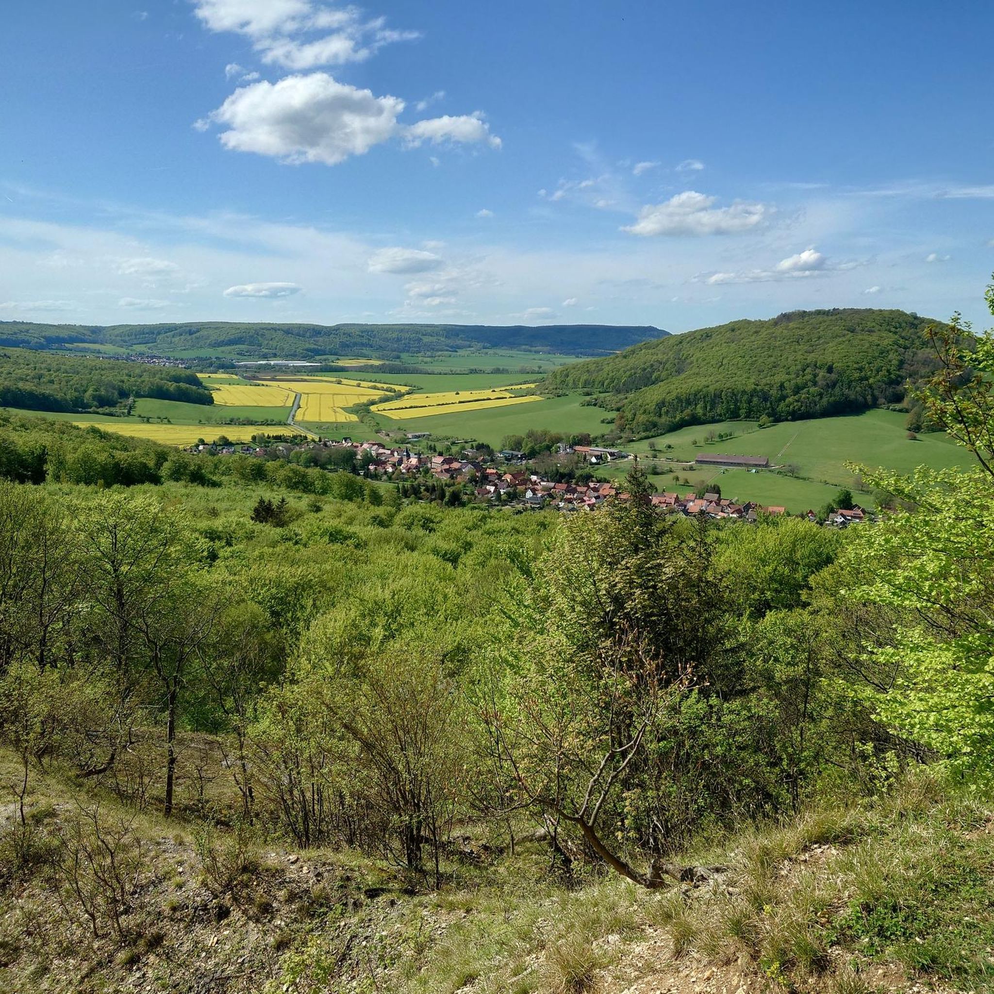
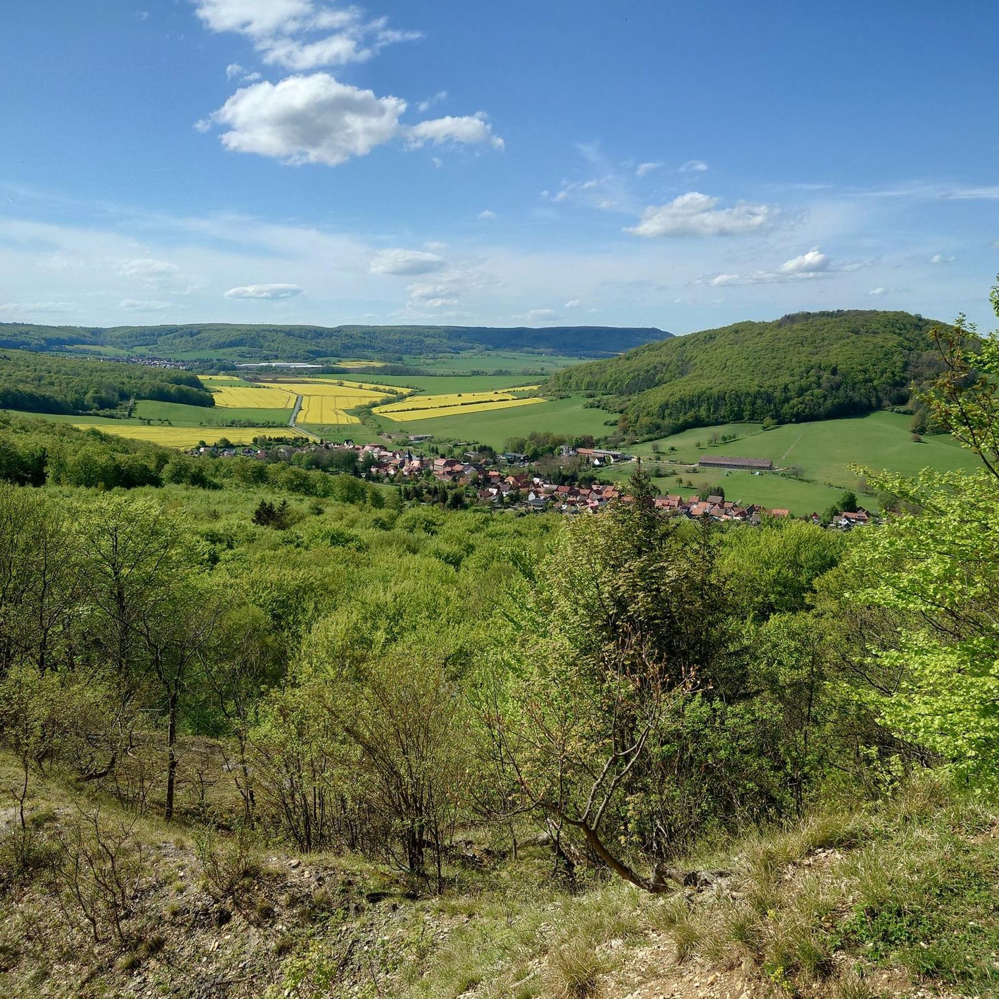
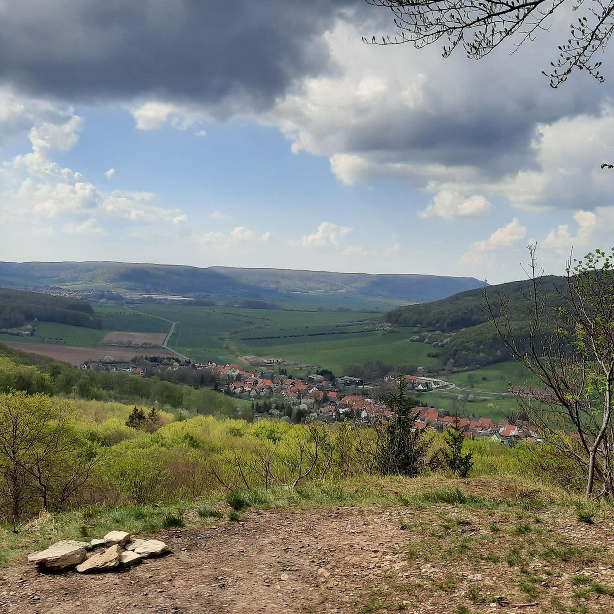
Tips from the Community


Cycle path closed, construction work on the embankment
0
0
Currently closed due to construction work!
0
0

Here you can take a short break
1
0

I didn't think I would find it open, but the Eichsfeld is something special, a beautiful place.
13
0

Beautiful relaxed bike path along the country road
0
0

The first panel shows a map of the Eichsfeld, the second panel contains interesting facts about the Sonnenstein and the third panel provides information about the Eichsfeldlied and its author.
22
0
A beautiful view of the "Goldene Aue".
18
0
Frequently Asked Questions
How many gravel bike trails are available in Bleicheröder Berge?
The Bleicheröder Berge region offers a diverse network of over 15 gravel bike trails, catering to various skill levels. You'll find everything from easy, short loops to more demanding, longer rides.
Are there any easy gravel bike routes suitable for beginners in Bleicheröder Berge?
Yes, there is at least one easy gravel bike route perfect for beginners. For instance, the View Towards Kleinbodungen – Bode Stream loop from Bleicherode is an accessible 7.8-mile (12.6 km) trail that follows the scenic Bode Stream, ideal for a relaxed ride.
What are some challenging gravel routes for experienced riders in the area?
For those seeking a challenge, Bleicheröder Berge has several difficult routes. The West-East Gate – Ferna–Wintzingerode Cycle Path loop from Bischofferode is a demanding 21.6-mile (34.7 km) path that includes sections of the Ferna–Wintzingerode Cycle Path, offering varied terrain and elevation.
Are there any gravel bike routes that offer scenic viewpoints or interesting landmarks?
Absolutely! Many routes provide beautiful views and pass by notable landmarks. The View of Bodenstein Castle – Ferna–Wintzingerode Cycle Path loop from Gernrode-Niederorschel offers stunning vistas towards Bodenstein Castle. You can also find viewpoints like View from Vogelbergklippen of Bleicherode and View of Hasenburg and the Ohmgebirge from Gelbe Klippe along various trails.
What is the typical length and duration of gravel trails in Bleicheröder Berge?
Gravel trails in Bleicheröder Berge vary significantly in length and duration. You can find shorter routes like the 7.8-mile (12.6 km) Bode Stream loop, which takes about 50 minutes, up to longer, more challenging rides such as the Wipper River Cycle Path – House on the Helbe loop from Gernrode-Niederorschel, which spans over 42 miles (67.7 km) and can take several hours to complete.
Are most gravel bike routes in Bleicheröder Berge loop trails?
Yes, many of the gravel bike routes in Bleicheröder Berge are designed as convenient loop trails, allowing you to start and finish at the same point. This makes planning your ride and transportation much simpler.
What do other gravel bikers enjoy most about riding in Bleicheröder Berge?
The komoot community highly rates the gravel biking experience in Bleicheröder Berge, with an average score of 5.0 stars. Riders often praise the region's varied terrain, which includes forest tracks, rolling hills, and sections of dedicated cycle paths, offering a diverse and engaging ride through natural surroundings and small villages.
Are there any natural monuments or interesting facilities along the gravel routes?
Yes, the region features several natural monuments and facilities. You might encounter the Kuhbrunnen Spring or the Mönchsborn (Thuringian Stamp Station No. 422). Rest areas like Kuhbrunnen Rest Area and Blechmann Statue are also available for a break.
Can I find routes that incorporate sections of established cycle paths?
Many gravel routes in Bleicheröder Berge cleverly integrate sections of established cycle paths, providing a mix of surfaces. For example, the Leine Bike Path in Eichsfeld – Kefferhausen Viaduct loop from Gernrode-Niederorschel utilizes parts of the Leine Bike Path, offering a smooth and enjoyable experience.
What kind of terrain can I expect on gravel bike trails in Bleicheröder Berge?
The terrain in Bleicheröder Berge is quite varied, characterized by rolling hills, dense forests, and open fields. You'll primarily ride on forest tracks, gravel paths, and sections of former railway lines or dedicated cycle paths. Elevations are generally moderate, though some routes feature longer climbs.
Most popular routes around Bleicheröder Berge
Most popular attractions around Bleicheröder Berge

Get inspired with the komoot mobile app


Explore more
Browse the best Gravel rides in other regions.
