The best cycling routes around Bleicheröder Berge
4.6
(2058)
7,315
riders
438
rides
Touring cycling around Bleicheröder Berge features diverse landscapes, including extensive beech forests on Muschelkalk soil and dry grasslands. The region's topography includes elevations up to 460.8 meters, offering varied terrain for cyclists. Muschelkalk rock formations are visible, adding to the visual interest of the routes. The area is largely covered by a protected landscape, preserving its natural beauty.
Best touring cycling routes around Bleicheröder Berge
- The most popular touring cycling route is Paved Cycling Path – Eiscafé Pabst loop from…
Last updated: June 27, 2026
4.4
(23)
64
riders
28.3km
01:40
130m
130m
Easy bike ride. Great for any fitness level. Mostly paved surfaces. Suitable for all skill levels.
4.4
(7)
28
riders
21.7km
01:23
140m
140m
Easy bike ride. Great for any fitness level. Mostly paved surfaces. Suitable for all skill levels.

Sign up for free
4.2
(6)
26
riders
12.1km
00:57
210m
210m
Moderate bike ride. Good fitness required. Mostly paved surfaces. Suitable for all skill levels.
5.0
(8)
21
riders
13.8km
01:00
110m
100m
Easy bike ride. Great for any fitness level. Mostly paved surfaces. Suitable for all skill levels.
3.8
(4)
17
riders
25.0km
01:32
200m
200m
Moderate bike ride. Good fitness required. Mostly paved surfaces. Suitable for all skill levels.
Get access to more routes and recommendations from other explorers.
Sign up for free
Already have an account?
Our route recommendations are based on thousands of hikes, rides, and runs completed by other people on komoot.
Start today with a free account
Your next adventure awaits.
Login or Signup
Tips from the Community


Great corner, a new bridge has been built and is accessible
0
0
Here you can take a short break
1
0

Lots of seating! Decorated with great attention to detail. Unfortunately the bridge is currently closed.
0
0

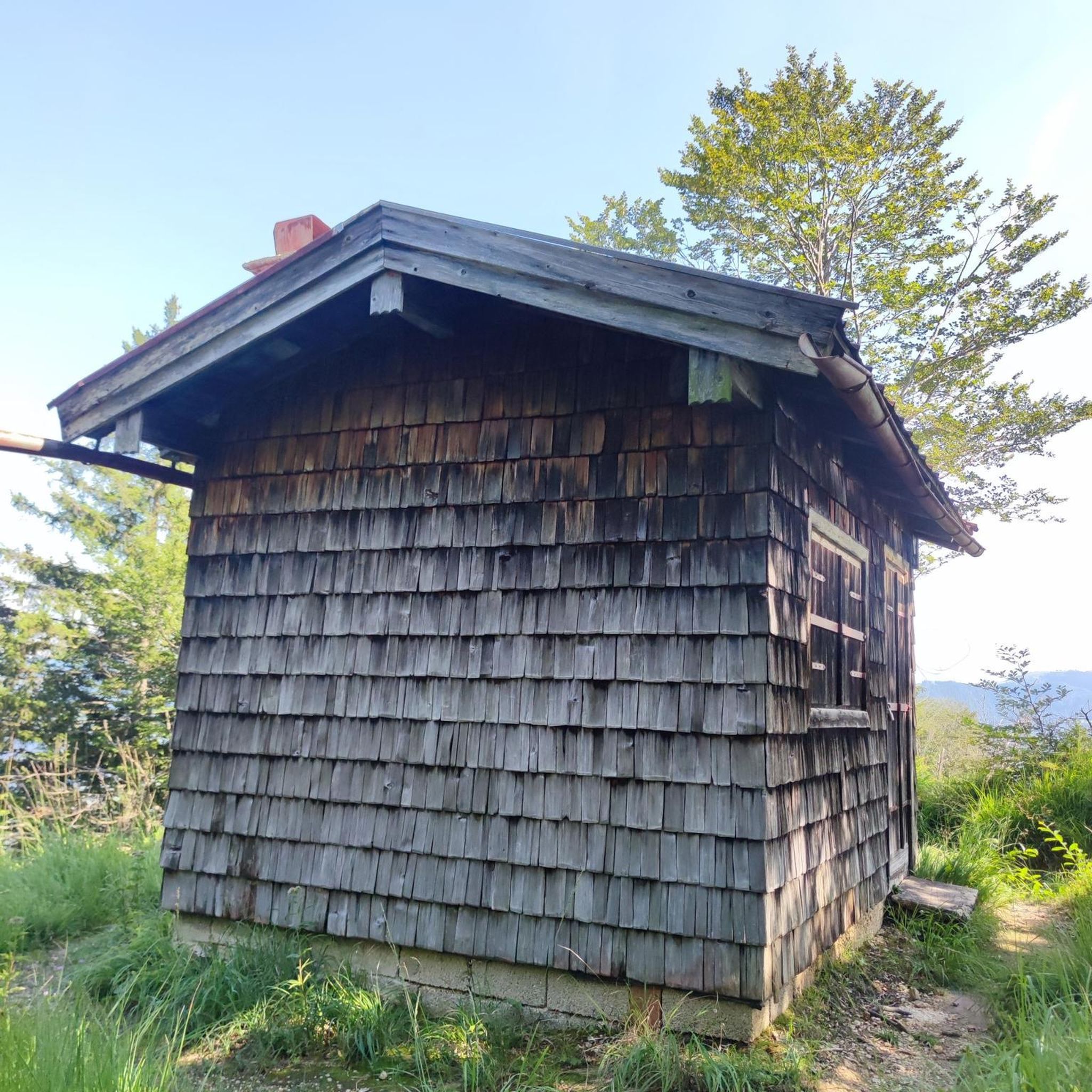
Large rest area with a rest hut and even trash cans.
2
0

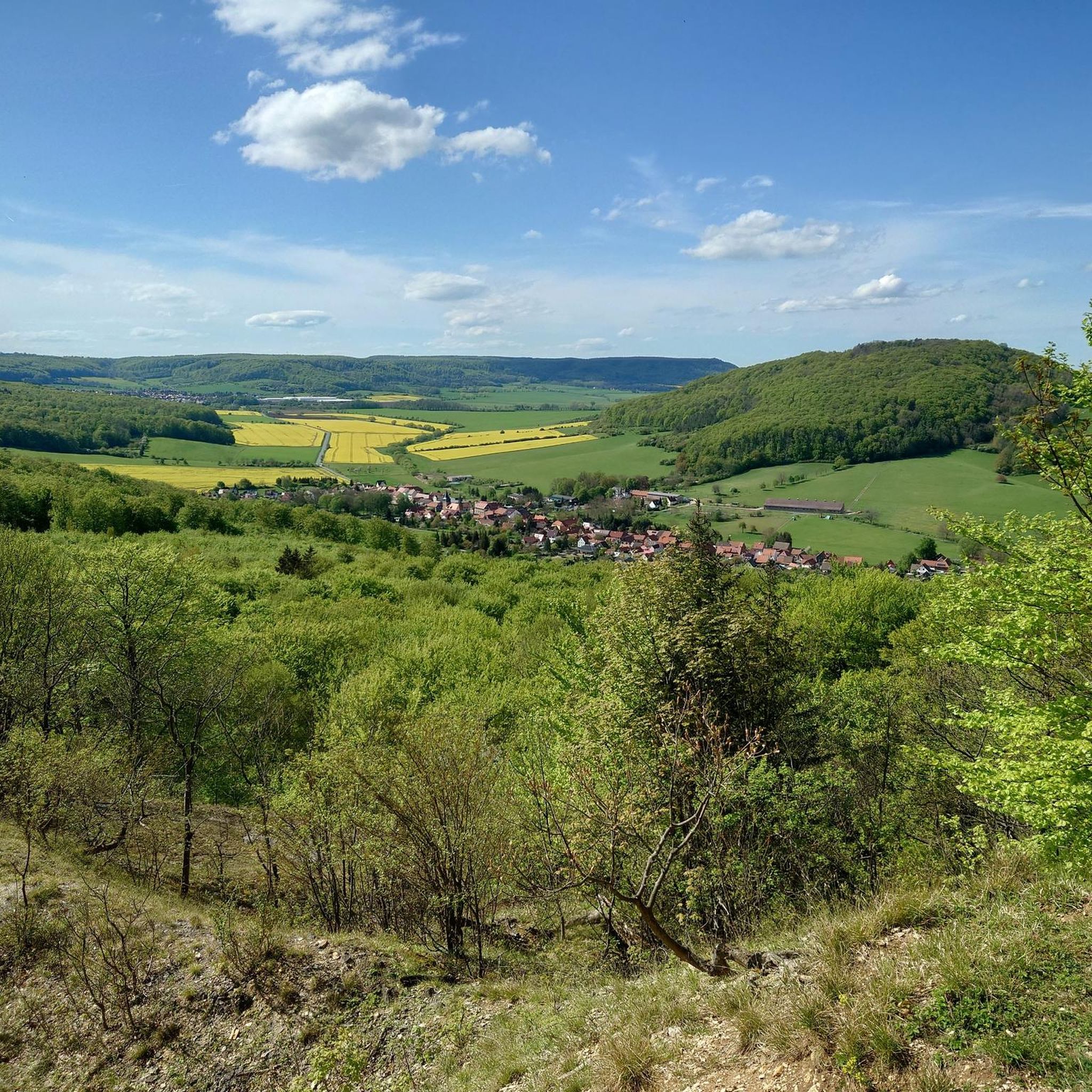
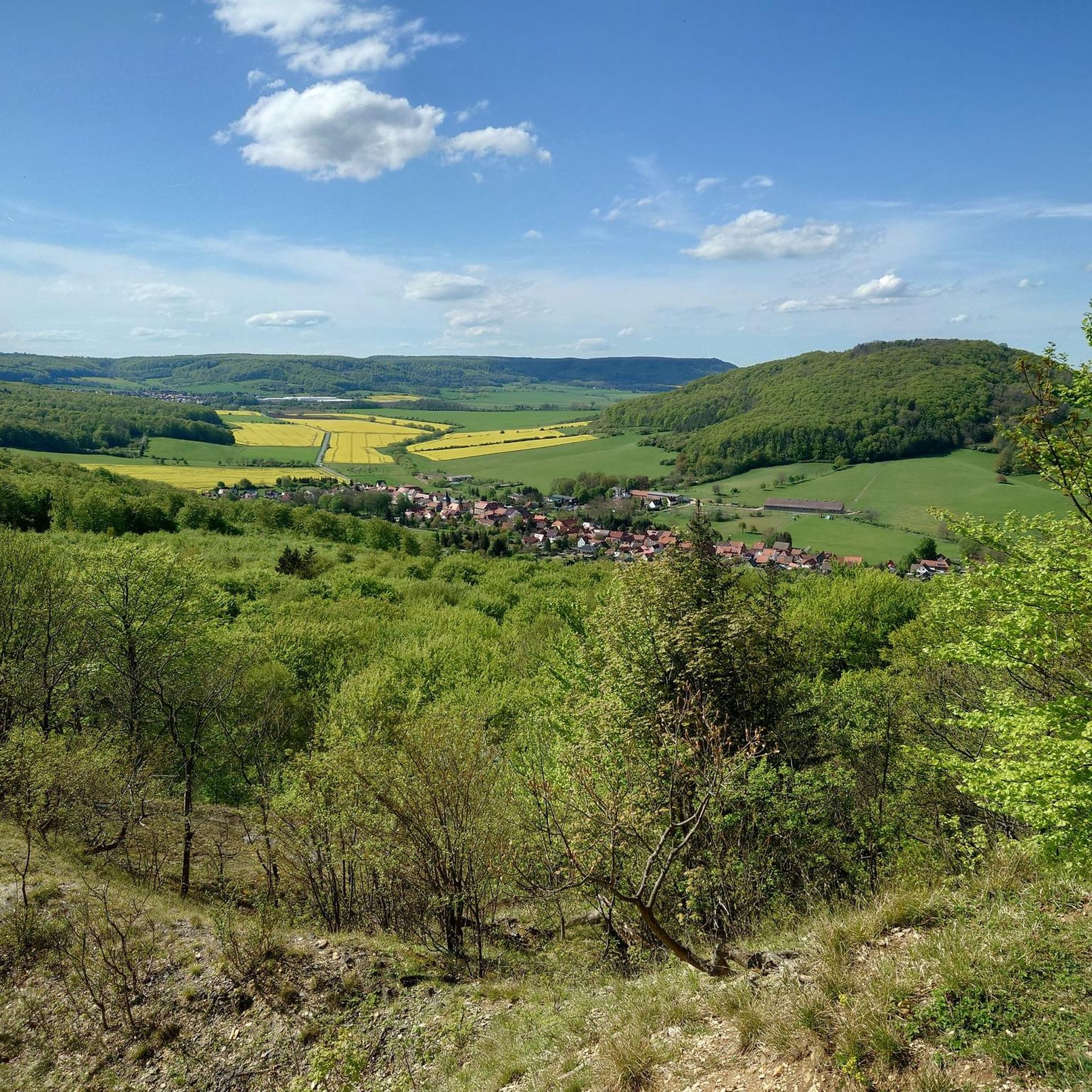
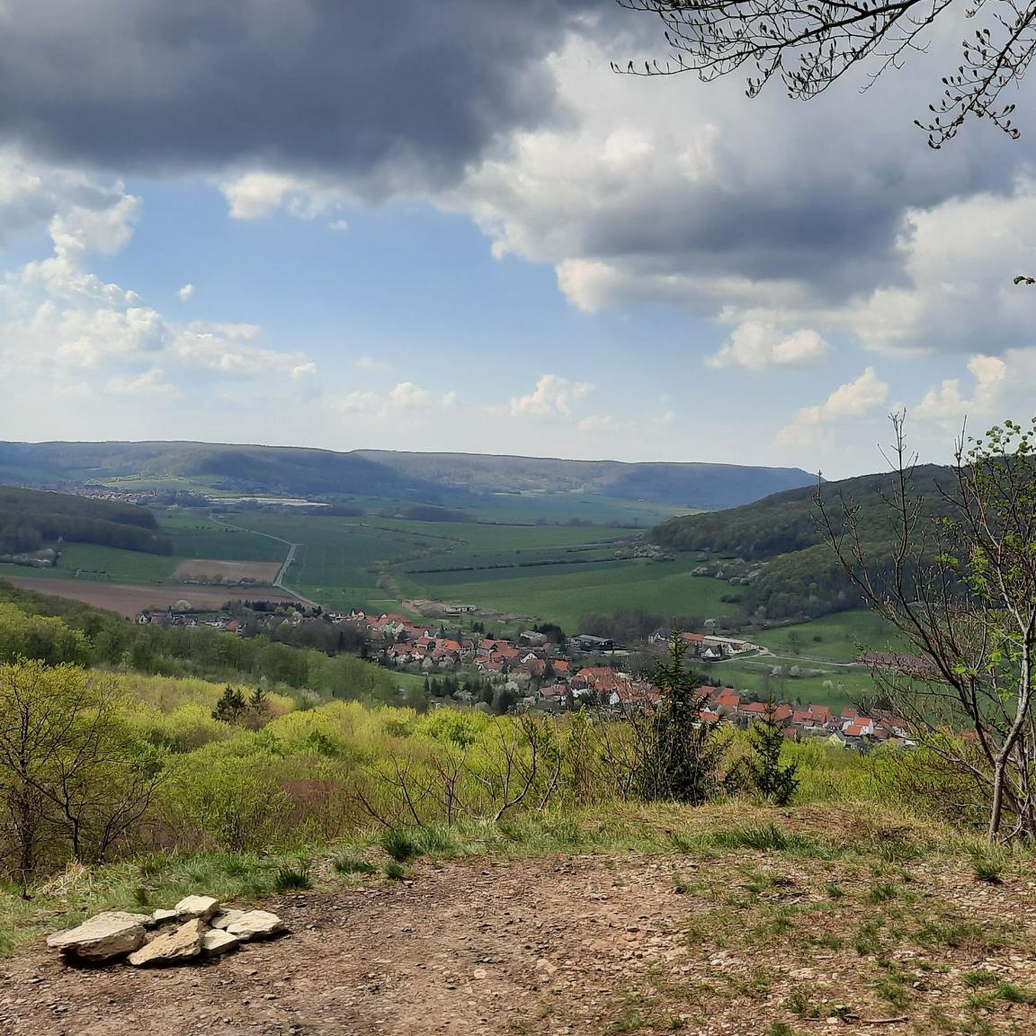
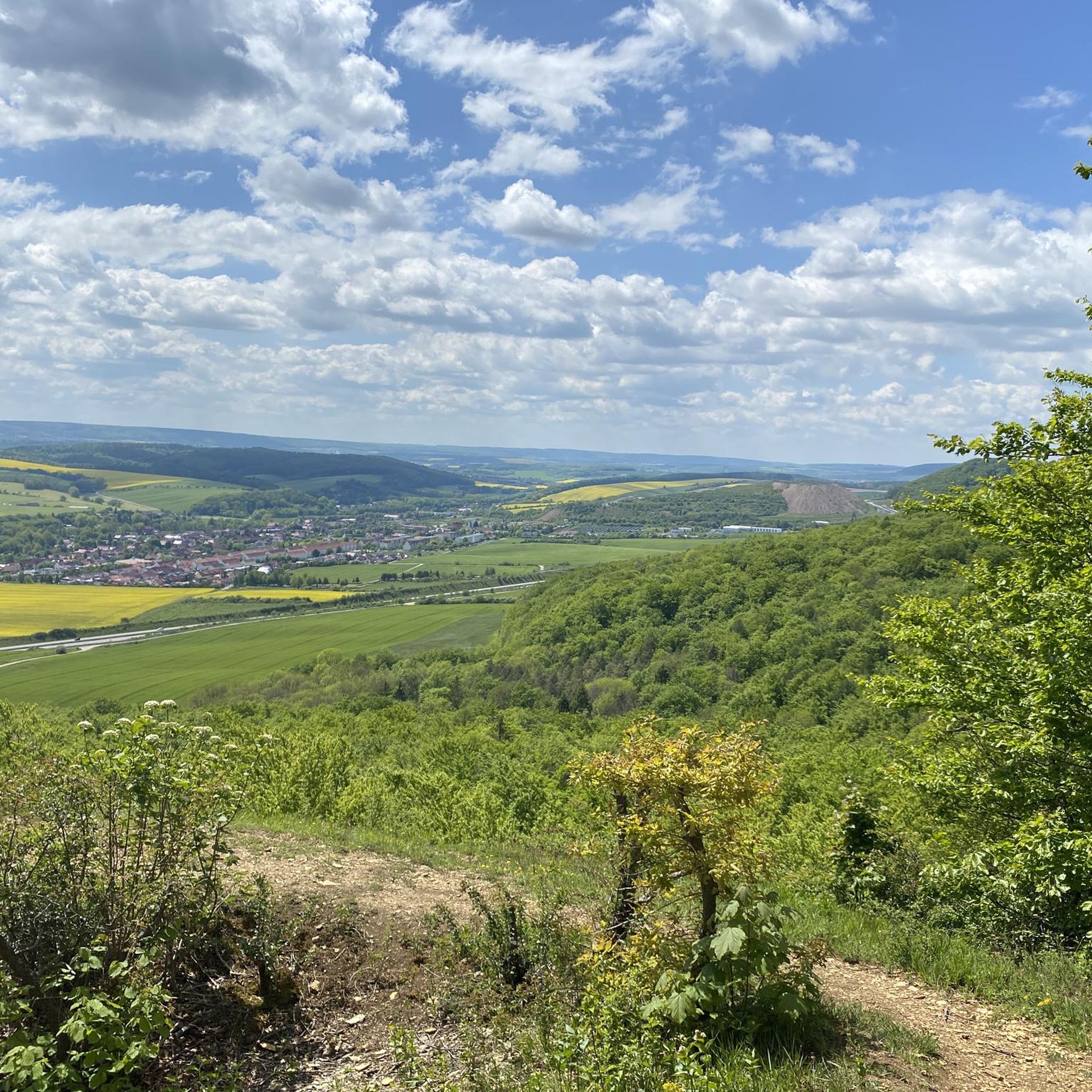
great view from the cliffs
2
0
Frequently Asked Questions
How many touring cycling routes are available in Bleicheröder Berge?
There are over 430 touring cycling routes in the Bleicheröder Berge region, offering a wide variety of options for different preferences and fitness levels. This includes 170 easy routes, 169 moderate routes, and 98 more challenging routes.
What kind of terrain can I expect on touring cycling routes in Bleicheröder Berge?
The Bleicheröder Berge region features diverse terrain, including extensive beech forests on Muschelkalk soil, dry grasslands, and some significant stands of pine. You'll encounter a mix of paved roads, quiet country roads, and gravel paths. Elevations can reach up to 460.8 meters, providing varied ascents and descents.
Are there touring cycling routes suitable for families in Bleicheröder Berge?
Yes, there are many routes suitable for families. For example, the Apostelbrücke Niedergebra – St. Nicholas Church loop from Bleicherode is an easy 16.6 km path. The region also offers delightful resting places like the Kuhbrunnen Spring, which features water elements that can entertain children, making it a pleasant stop on a family ride.
What natural features and landmarks can I discover along the cycling routes?
Cyclists can explore beautiful beech forests, dry grasslands with diverse plant life including 14 native orchid species, and distinctive Muschelkalk rock formations. Notable landmarks include the Kuhbrunnen Rest Area and Blechmann Statue, the Kuhbrunnen Spring, and the August Petermann Nature Educational Trail. You might also spot local fauna like foxes, deer, and various birds of prey.
Are there any circular touring cycling routes in the Bleicheröder Berge region?
Yes, many touring cycling routes in Bleicheröder Berge are designed as loops. An example is the Paved Cycling Path – Eiscafé Pabst loop from Bleicherode, a moderate 27.7 km route. Another popular option is the easy Kleinbodungen Shaft – Eiscafé Pabst loop from Buhla, which is 21.7 km long.
What are the options for parking when cycling in Bleicheröder Berge?
While specific parking locations for each route are not detailed, the Bleicheröder Berge region is generally accessible, and many trailheads or starting points in towns like Bleicherode or Buhla will have designated parking areas. It's advisable to check local signage upon arrival or use navigation apps for specific parking information near your chosen starting point.
Can I access the touring cycling routes in Bleicheröder Berge using public transport?
The Bleicheröder Berge region has connections to public transport, particularly in larger towns like Bleicherode. While direct access to every trailhead via public transport might be limited, you can often reach central points by bus or train and then cycle to your desired route. It's recommended to check local public transport schedules and bike carriage policies before planning your trip.
What is the best time of year to go touring cycling in Bleicheröder Berge?
The Bleicheröder Berge region is beautiful for touring cycling from spring through autumn. Spring offers vibrant greenery and blooming orchids, while summer provides warm weather for longer rides. Autumn showcases stunning foliage in the beech forests. The varied terrain and protected landscape make it enjoyable across these seasons, though some paths might be muddy after rain.
Are there routes for both beginner and advanced touring cyclists?
Absolutely. The Bleicheröder Berge offers a range of routes catering to all abilities. You'll find 170 easy routes perfect for beginners or those seeking a relaxed ride, such as the Kleinbodungen Shaft – Eiscafé Pabst loop from Buhla. For more experienced cyclists, there are 98 difficult routes, and 169 moderate routes like the Eiscafé Pabst – Historic Train Cars Ascherode loop from Ascherode, which features more significant elevation changes.
What do other cyclists say about their experience in Bleicheröder Berge?
The touring cycling routes in Bleicheröder Berge are highly rated by the komoot community, with an average score of 4.6 stars from over 1,800 reviews. Cyclists often praise the region's diverse landscapes, including the quiet woodlands and scenic views, as well as the well-maintained paths suitable for touring bikes.
Are there any longer touring cycling routes that connect to neighboring regions?
Yes, the Bleicheröder Berge's location allows for longer touring experiences that connect to nearby uplands like the Harz, Hainleite, Dün, and Ohmgebirge. These extended routes can integrate different landscapes and cultural sites, such as Kloster Walkenried or Schloss Heringen, offering multi-day cycling adventures.
Can I bring my dog on the touring cycling routes in Bleicheröder Berge?
While many natural areas in Germany are dog-friendly, it's generally recommended to keep dogs on a leash, especially in protected landscapes like the Bleicheröder Berge, to protect wildlife and ensure the safety of other users. Always clean up after your pet. Specific rules may vary, so look for local signage.
Where can I find viewpoints with panoramic vistas along the cycling routes?
Several points in the Bleicheröder Berge offer expansive panoramic views. The Gebraer Kopf is known for its vistas, including views of the Hainleite. Additionally, the Henriettenhöhe Viewpoint and Shelter provides a great spot to take in the scenery. The region's varied topography, with elevations up to 460.8 meters, ensures many opportunities for breathtaking outlooks.
Are there any specific historical sites or ruins to look out for?
Yes, amidst the natural beauty, you can find historical elements. The Windolfskopf, one of the prominent peaks, is home to the remains of the Löwenburg, a small medieval castle carved from rock around 1279. This offers a touch of history and a unique point of interest during your cycling tour.
Most popular routes around Bleicheröder Berge
Most popular attractions around Bleicheröder Berge

Get inspired with the komoot mobile app


Explore more
Browse the best Cycling routes in other regions.
