The best gravel rides around Fontburn Reservoir
4.8
(11)
65
riders
8
rides
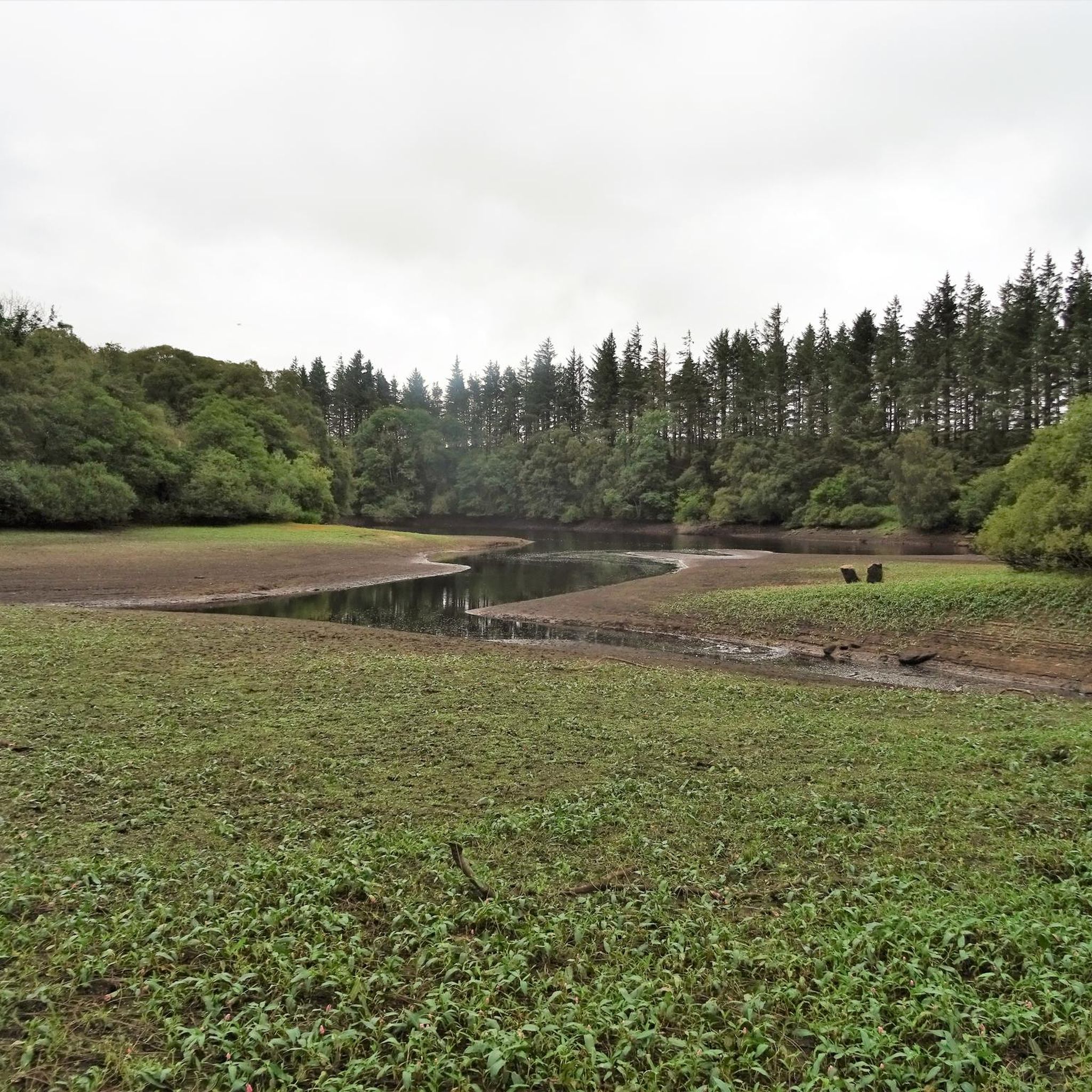
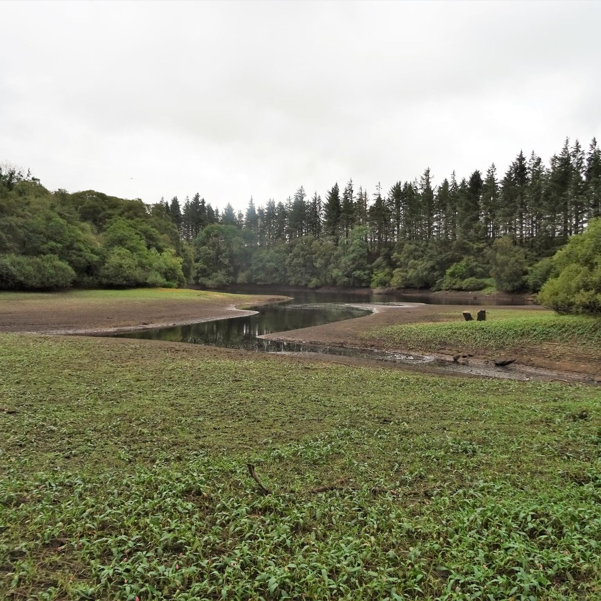
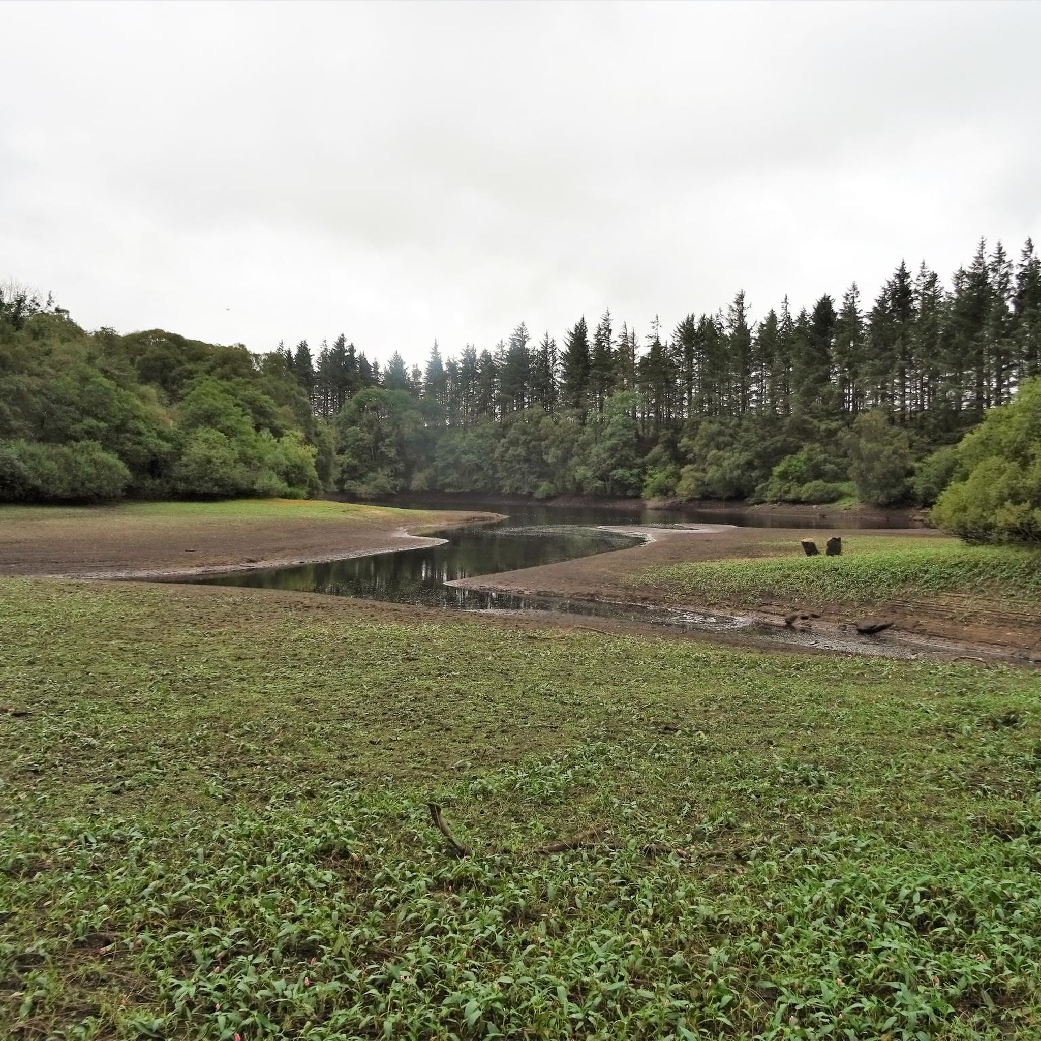
Gravel biking around Fontburn Reservoir provides access to varied terrain in Northumberland, England. The area features the reservoir itself, surrounded by picturesque farmland and lush woodlands. Routes often include well-surfaced paths on the northern shore, while the southern shore can present more undulating, narrow, and potentially muddy sections, offering a mix of challenges for gravel riders. These paths accommodate gravel bikes, providing scenic and accessible routes through the natural environment.
Best gravel bike trails around Fontburn Reservoir
- The most popular…
Last updated: July 2, 2026
4.8
(5)
23
riders
Hard gravel ride. Very good fitness required. Mostly paved surfaces. Suitable for all skill levels.
5.0
(1)
12
riders
19.5km
01:37
400m
400m
Moderate gravel ride. Good fitness required. Mostly paved surfaces. Suitable for all skill levels.

Sign up for free
4.8
(4)
17
riders
27.2km
02:26
360m
360m
Moderate gravel ride. Good fitness required. Mostly paved surfaces. Suitable for all skill levels.
4.7
(3)
7
riders
18.6km
01:39
250m
250m
Moderate gravel ride. Good fitness required. Mostly paved surfaces. Suitable for all skill levels.
2
riders
32.3km
02:19
500m
500m
Hard gravel ride. Very good fitness required. Mostly paved surfaces. Suitable for all skill levels.
Get access to more routes and recommendations from other explorers.
Sign up for free
Already have an account?
Our route recommendations are based on thousands of hikes, rides, and runs completed by other people on komoot.
Start today with a free account
Your next adventure awaits.
Login or Signup
Tips from the Community


Good trails to ride on, great views on a sunny day. Can either include as part of a Rothbury/Simonside ride, or head over to Harwood Forest
0
0
Top of the Whitefield Trail. Tremendous descent down to Hepple. Some pretty lumpy gravel in places, finishes on a meadow track. Doable on a gravel bike I guess but wider tyres would make for a better ride
0
0
Tremendous descent, would be a tough climb in places
0
0
After slogging up Simonside, there's a speedy descent here toward Harwood
0
0
Frequently Asked Questions
What kind of terrain can I expect on gravel bike routes around Fontburn Reservoir?
The terrain around Fontburn Reservoir offers a varied experience. You'll find well-surfaced paths, particularly on the northern shore, suitable for gravel bikes. However, the southern shore can be more undulating, narrow, and potentially muddy in parts, adding a mix of challenges. Routes often traverse picturesque farmland and lush woodlands, providing diverse surfaces.
Are there any family-friendly gravel biking options near Fontburn Reservoir?
While the immediate circular path around Fontburn Reservoir is relatively level and well-surfaced in sections, making it suitable for families, some routes in the wider area are rated moderate or difficult. For a dedicated family cycling experience, the nearby Wallington Estate, a National Trust property, offers the 'Dragon Cycle Trail' which explores woodlands and provides scenic views.
What are the difficulty levels of gravel bike trails in the Fontburn Reservoir area?
The gravel bike trails around Fontburn Reservoir cater to a range of abilities. You'll find several routes rated as moderate, such as the Whitefield Trail – Viewpoint on Simonside Hills loop from Whitton and Tosson, which is 19.5 km long. There are also more challenging, difficult routes available, including the 34.2 km Simonside Car Park – Viewpoint on Simonside Hills loop from Whitton and Tosson.
Are there circular gravel bike routes available?
Yes, many of the gravel bike routes in the Fontburn Reservoir area are designed as loops. For instance, the Descent Toward Harwood – View of Northumberland Forest loop from Harwood offers a 27.2 km circular ride through Northumberland Forest. The reservoir itself also has a circular path, though some sections may be more challenging for gravel bikes.
What kind of wildlife can I expect to see while gravel biking around Fontburn Reservoir?
Fontburn Reservoir is a designated local wildlife site, offering opportunities to spot diverse fauna. You might encounter red squirrels, badgers, roe deer, stoats, common lizards, adders, and slow worms. The area is also home to various bird species, including migrant songbirds like redstart, and several amphibian species such as common frogs, toads, and newts.
Where can I park my car when visiting Fontburn Reservoir for gravel biking?
There are two Northumbrian Water pay and display car parks conveniently located on site at Fontburn Reservoir. These provide easy access to the trails and amenities.
Are there any facilities or amenities available at Fontburn Reservoir?
Yes, Fontburn Reservoir offers several amenities to enhance your visit. On the south shore, you'll find a visitor center with toilets and a shop selling light refreshments. There's also a children's play area and designated picnic spots, making it a suitable destination for groups.
What do other gravel bikers enjoy most about the Fontburn Reservoir area?
The Fontburn Reservoir area is highly rated by the komoot community, with an average score of 4.4 stars. Many gravel bikers appreciate the varied terrain, from well-surfaced paths to more challenging, undulating sections, and the serene, picturesque setting of the reservoir surrounded by farmland and woodlands.
Can I find routes that offer views of the Simonside Hills?
Absolutely. Several routes in the area provide stunning views of the Simonside Hills. A popular option is the Whitefield Trail – Viewpoint on Simonside Hills loop from Whitton and Tosson, which is a moderate 19.5 km path specifically designed to lead to these scenic viewpoints.
Are there any routes that go through Northumberland Forest?
Yes, you can explore Northumberland Forest on a gravel bike from the Fontburn Reservoir area. The Descent Toward Harwood – View of Northumberland Forest loop from Harwood is a 27.2 km trail that takes you through this beautiful forest, offering a rewarding ride.
What is the 'plughole' at Fontburn Reservoir?
A unique and interesting feature at Fontburn Reservoir is its 'plughole,' which is technically known as a shaft spillway. This structure plays a crucial role in regulating water levels by safely releasing excess water into the nearby river.
Are there any longer, more challenging gravel bike routes in the region?
For those seeking a longer and more challenging ride, the area offers difficult routes such as the Viewpoint on Simonside Hills – Codger Fort loop from Harwood. This route spans 32.3 km and features significant elevation changes, providing a demanding yet rewarding experience.
Most popular routes around Fontburn Reservoir

Get inspired with the komoot mobile app


Explore more
Browse the best Gravel rides in other regions.
