The best walks and hikes around Fontburn Reservoir
4.5
(696)
4,991
hikers
80
hikes
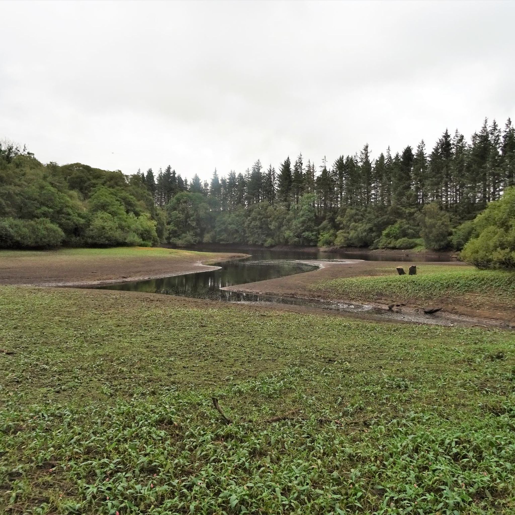
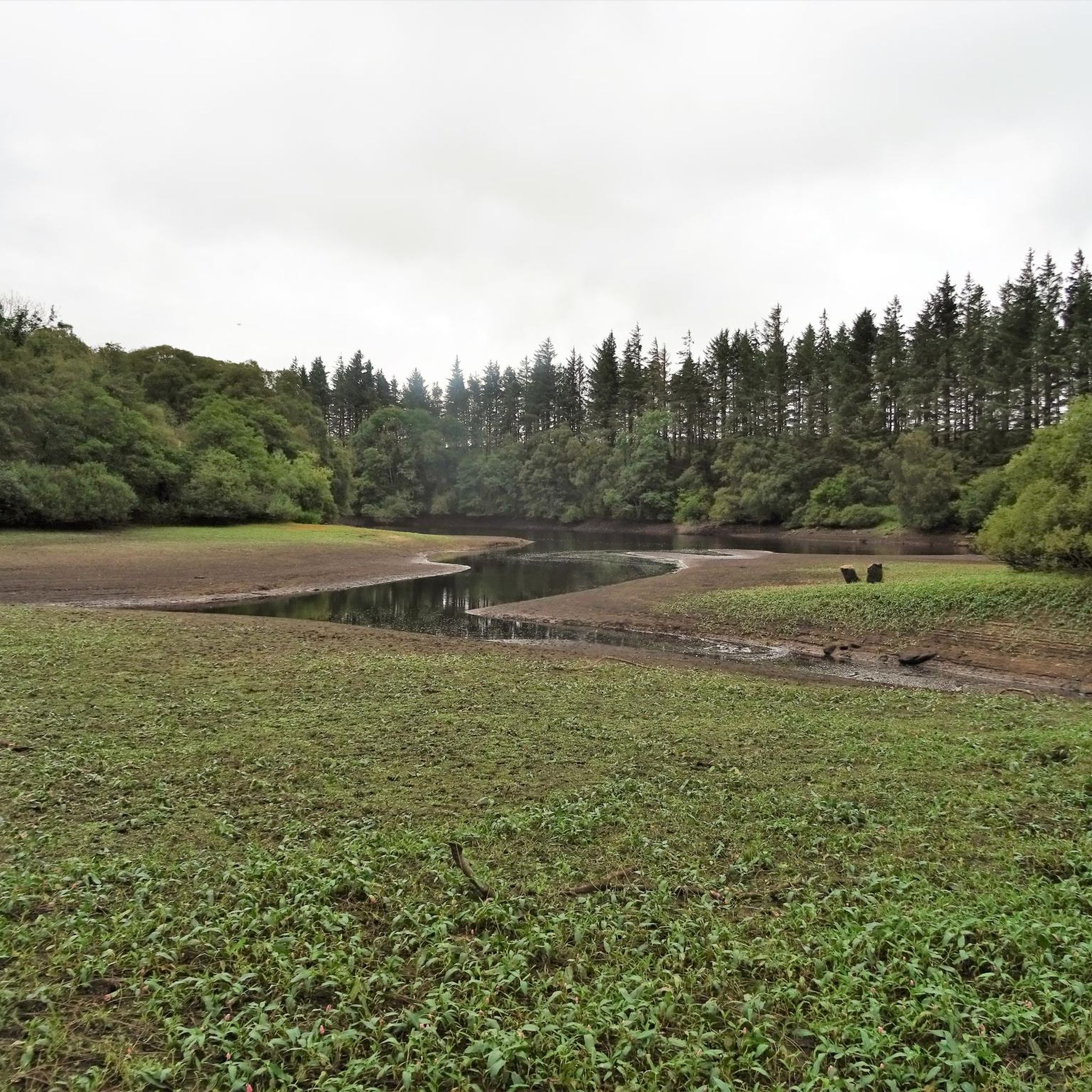
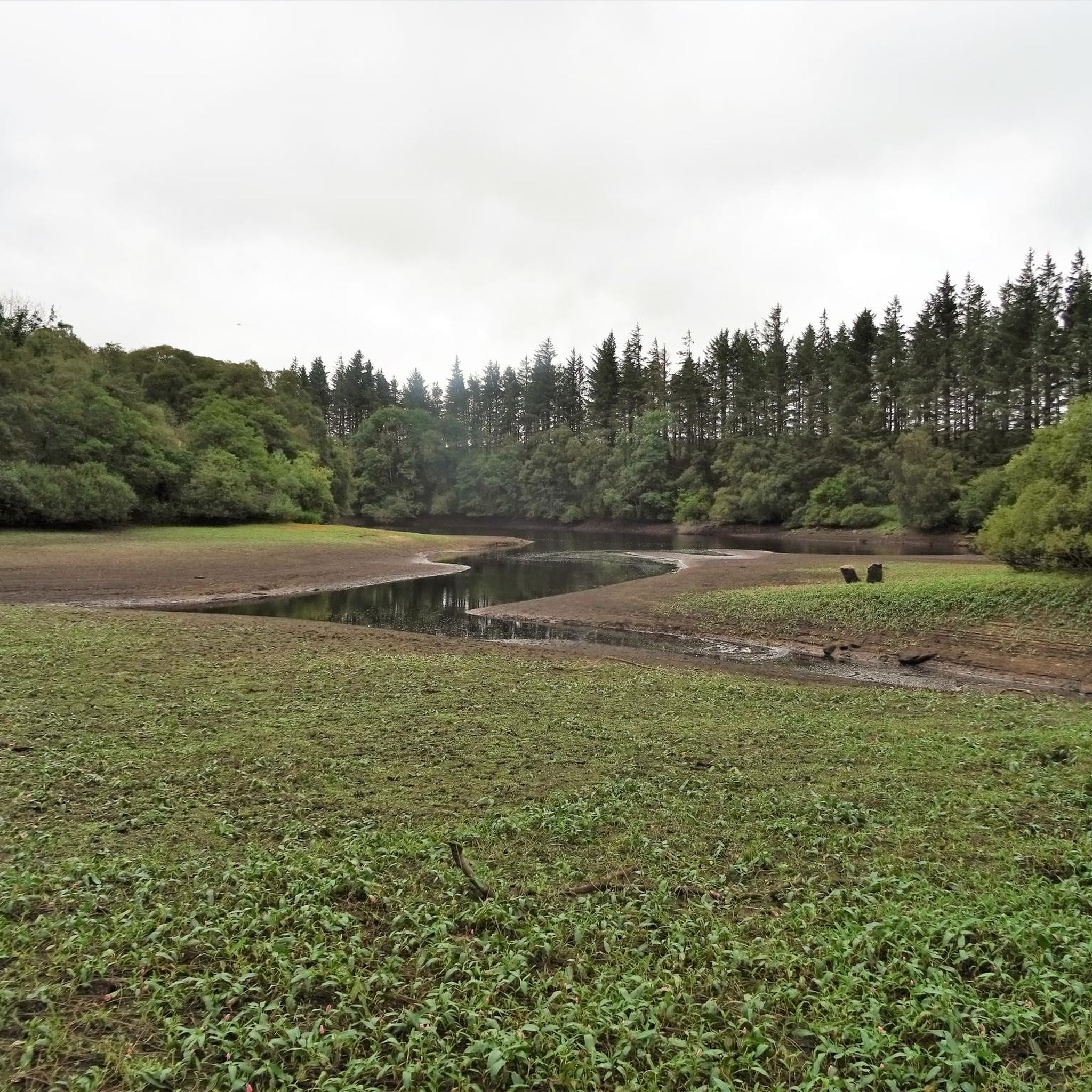
Hiking trails around Fontburn Reservoir traverse a varied landscape featuring waterside paths, expansive moorland, and woodlands. The area offers views towards the Simonside Hills and Harwood Forest, situated within the valley of the River Font. As a designated local wildlife site, it supports diverse flora and fauna, including red squirrels and various bird species. Historical elements such as a Bronze Age burial site and a cup and ring marked rock are also present along some routes.
Best hiking trails around…
Last updated: July 9, 2026
2.0
(1)
6
hikers
16.6km
04:26
180m
180m
Moderate hike. Good fitness required. Easily-accessible paths. Suitable for all skill levels.
4.0
(6)
31
hikers
18.6km
05:07
310m
310m
Hike the difficult 11.6-mile Simonside and Dove Crag Circular in Northumberland National Park for panoramic views and diverse terrain.

Sign up for free
4.8
(4)
53
hikers
3.58km
01:09
150m
150m
Easy hike. Great for any fitness level. Easily-accessible paths. Suitable for all skill levels.
4.6
(5)
25
hikers
6.11km
01:49
180m
180m
Easy hike. Great for any fitness level. Easily-accessible paths. Suitable for all skill levels.
4.8
(4)
53
hikers
3.58km
01:09
150m
150m
Easy hike. Great for any fitness level. Easily-accessible paths. Suitable for all skill levels.
Get access to more routes and recommendations from other explorers.
Sign up for free
Already have an account?
Our route recommendations are based on thousands of hikes, rides, and runs completed by other people on komoot.
Start today with a free account
Your next adventure awaits.
Login or Signup

Tips from the Community

all was fine when I passed through in late October
0
0

can be easy or difficult, depends which side you ascend from. so choose wisely
2
0

Dove Crag 395.7m P18.1 (1298ft) (Hill ID: 505959) [JNSA s5723] Northumberland National Park Definitive List summit. County of Northumberland Definitive List summit.
0
0
The Beacon 360.3m P13.3 (1182ft) (Hill ID: 511955) [JNSA s7082] Northumberland National Park Definitive List summit. County of Northumberland Definitive List summit.
0
0

Frequently Asked Questions
How many hiking trails are available around Fontburn Reservoir?
There are over 80 hiking routes available around Fontburn Reservoir, catering to various skill levels. These include 28 easy routes, 45 moderate routes, and 7 difficult trails, ensuring options for everyone from casual walkers to experienced hikers.
Are there any circular walks around Fontburn Reservoir?
Yes, a popular circular walk around Fontburn Reservoir itself spans approximately 5.5 km (3.5 miles) to 6.2 miles, typically taking 1.5 to 2 hours. While the northern shore is generally level, sections of the southern shore can be more undulating and occasionally muddy. For a longer circular option, consider the difficult Simonside and Dove Crag Circular, which explores the nearby Simonside Hills.
What kind of terrain can I expect on the trails around Fontburn Reservoir?
The trails offer a varied landscape, including waterside paths, expansive moorland, and woodlands. While some paths are well-surfaced and level, particularly along the northern shore of the reservoir, other sections, especially on the southern shore, can be narrow, undulating, and muddy after rain. Some routes also feature stream crossings that may not always have bridges.
Are the trails around Fontburn Reservoir suitable for families with children?
Yes, Fontburn Reservoir is a family-friendly destination. Many trails, particularly the easier sections of the reservoir walk, are suitable for families. The area also features a children's play park and numerous picnic areas with scenic views, making it an enjoyable outing for all ages.
Can I bring my dog on the hikes around Fontburn Reservoir?
Dogs are permitted on the trails around Fontburn Reservoir, but they must be kept on a lead. Please be aware that certain restrictions may be in place during the lambing season to protect livestock.
Where can I park when visiting Fontburn Reservoir?
Fontburn Reservoir provides essential visitor amenities, including car parks. These are conveniently located for accessing the various walking routes around the reservoir.
What natural features or wildlife can I expect to see?
Fontburn Reservoir is a designated local wildlife site with diverse flora and fauna. You might spot red squirrels, badgers, roe deer, and various bird species like pied flycatchers and lapwings. Otters have been observed, and reptiles such as adders, common lizards, and slow worms can be seen in warmer months. The area also boasts five native amphibians, including great crested newts.
What is the best time of year to hike around Fontburn Reservoir?
The reservoir offers attractive views year-round. Spring and summer are ideal for spotting diverse wildlife and enjoying the full bloom of flora. Autumn brings vibrant colors to the woodlands. While winter walks are possible, be prepared for potentially muddy conditions, especially on the southern shore, and check local weather forecasts.
Are there any historical landmarks to discover on the trails?
Yes, the trails around Fontburn Reservoir offer glimpses into history. You can walk past the Fallowless burial site, a 3,000-year-old Bronze Age mound, and discover a cup and ring marked rock. An intriguing man-made feature is the shaft spillway, often referred to as a 'plughole,' which helps regulate the reservoir's water levels.
What do other hikers say about the trails around Fontburn Reservoir?
The routes in Fontburn Reservoir are highly rated by the komoot community, with an average score of 4.5 stars from over 600 reviews. Hikers often praise the varied terrain, the picturesque blend of waterside paths, moorland, and woodlands, and the opportunities for wildlife spotting.
Are there any challenging hikes in the Fontburn Reservoir area?
While many routes are easy to moderate, there are challenging options available. For instance, the difficult Simonside and Dove Crag Circular is an 11.6-mile (18.6 km) path that explores the Simonside Hills, providing panoramic views and a more strenuous experience.
Can I access Fontburn Reservoir using public transport?
Information regarding direct public transport access to Fontburn Reservoir is limited. Visitors typically reach the area by car, utilizing the available car parks. It is advisable to check local bus services for routes that may connect to nearby villages, followed by a walk or taxi to the reservoir.
Most popular routes around Fontburn Reservoir

Get inspired with the komoot mobile app


Explore more
Browse the best Hikes in other regions.
