The best gravel rides around Stallauer Weiher
4.7
(292)
1,750
riders
76
rides
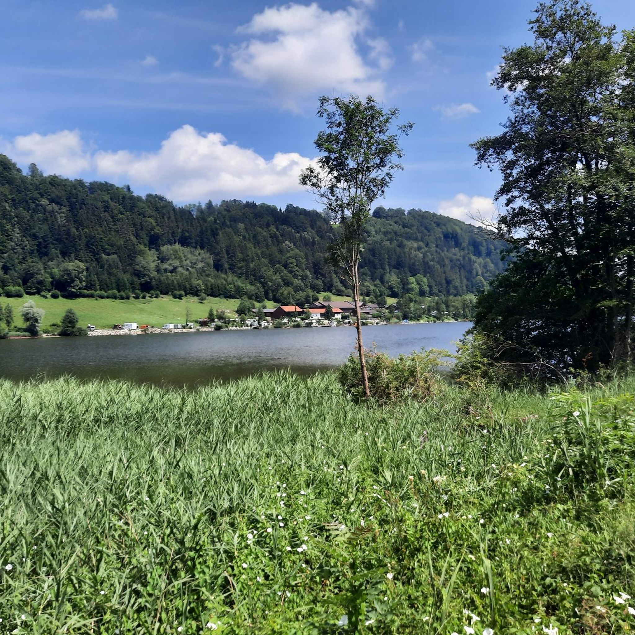
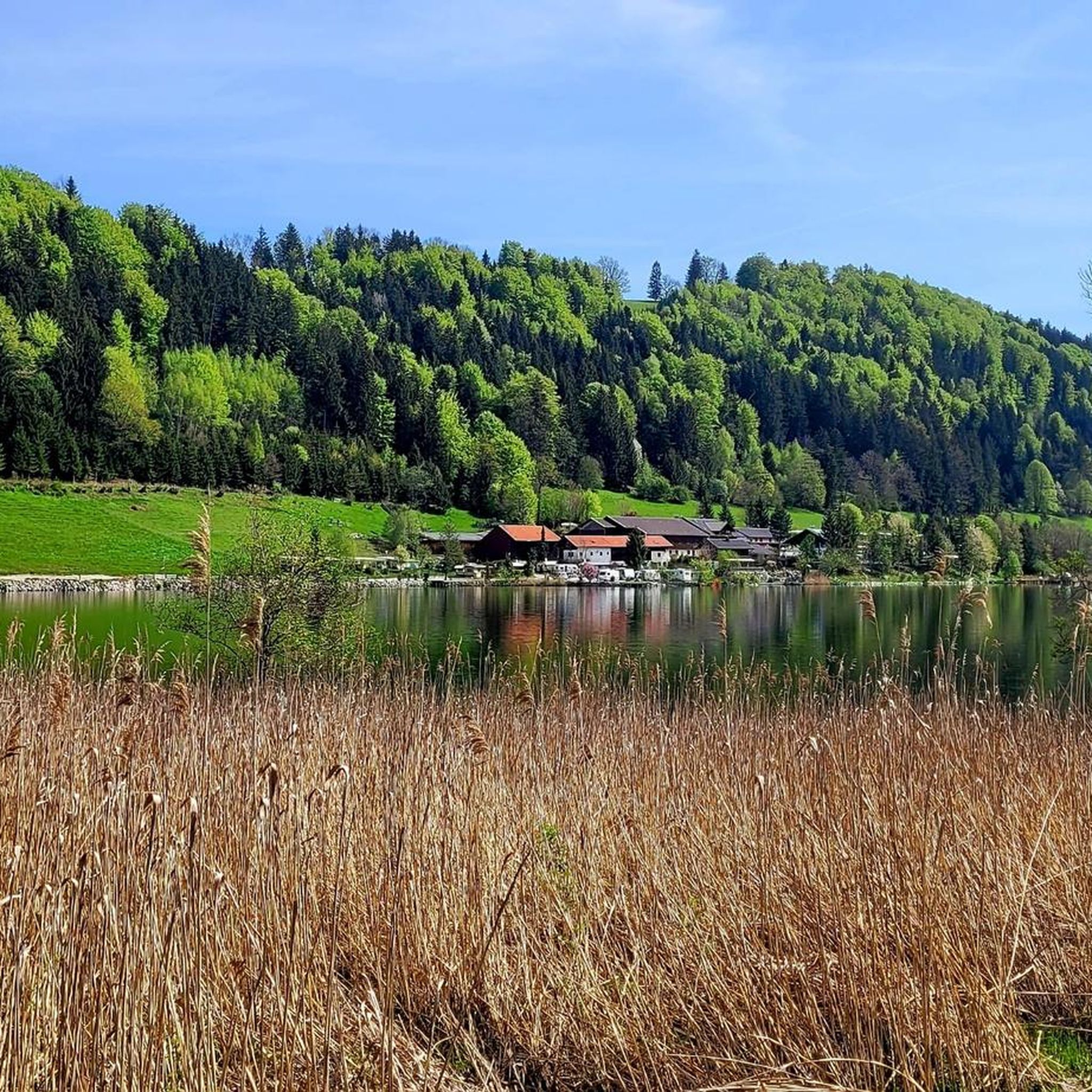
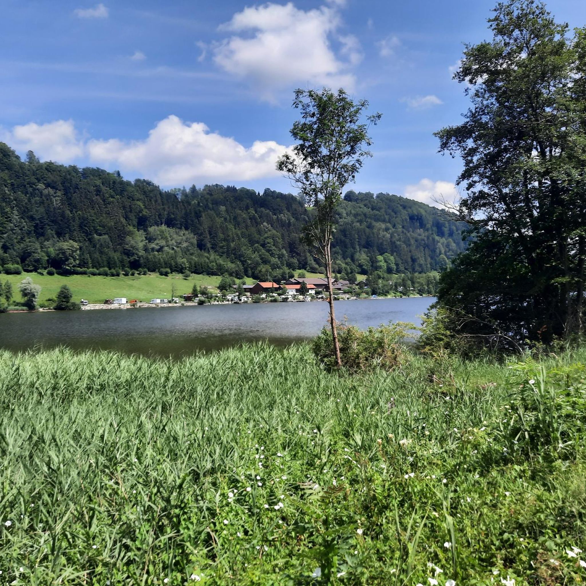
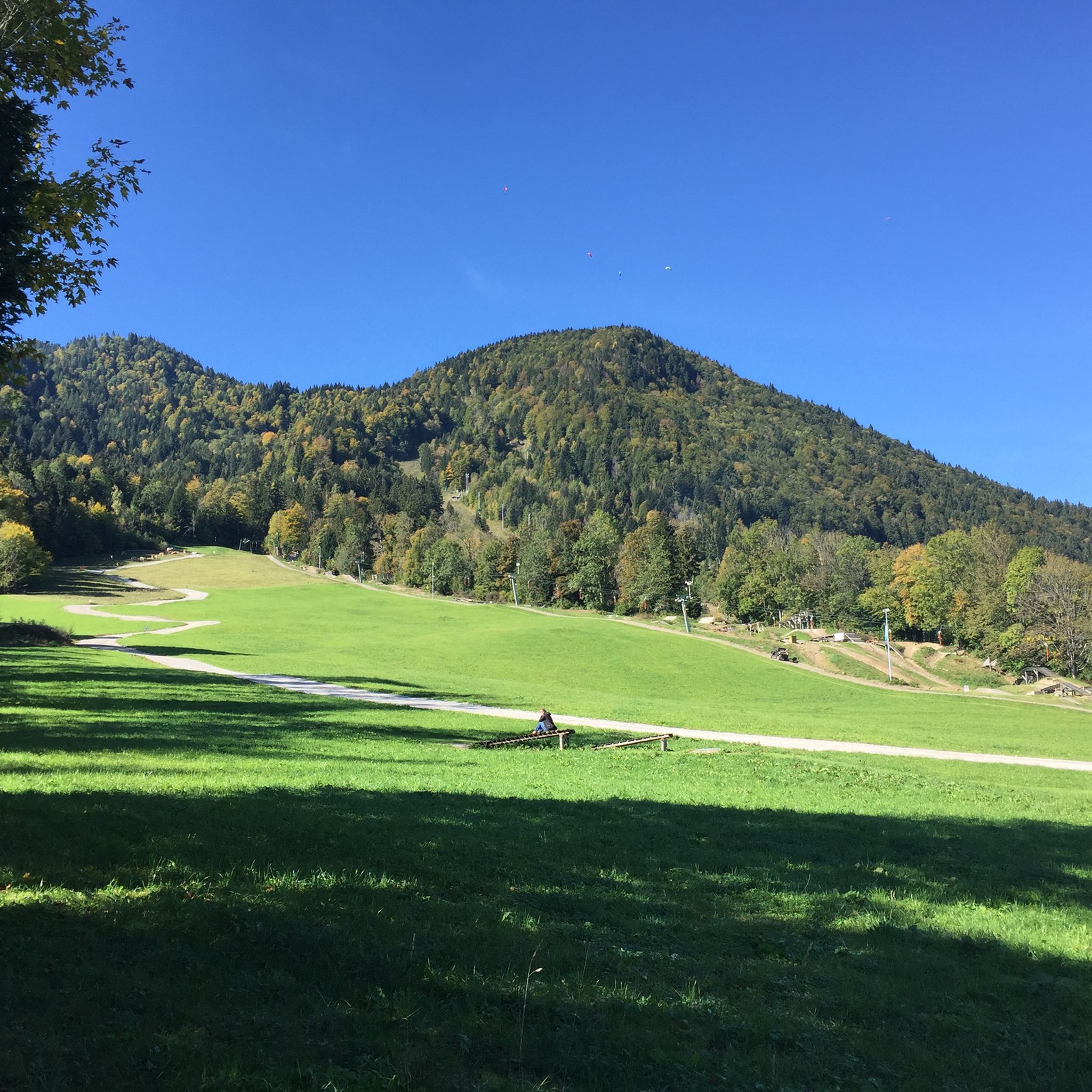
Gravel biking around Stallauer Weiher offers diverse terrain, from well-developed forest roads to maintained gravel paths, suitable for various skill levels. The region is characterized by picturesque meadows, dense forests, and the artificial Stallauer Weiher lake. Routes often ascend towards the Blomberg mountain, providing views of the Alpine foothills. This area in Landkreis Bad Tölz-Wolfratshausen is well-regarded for its cycling opportunities.
Best gravel bike trails around Stallauer Weiher
- The most popular gravel bike trail is View of the Benediktenwand –…
Last updated: August 26, 2026
4.0
(2)
22
riders
30.0km
02:43
1,130m
1,130m
Hard gravel ride. Very good fitness required. Mostly paved surfaces. Suitable for all skill levels.
4.0
(2)
33
riders
40.6km
02:16
320m
320m
Hard gravel ride. Good fitness required. You may need to push your bike for some segments of this route.

Sign up for free
13
riders
20.6km
01:34
570m
570m
Hard gravel ride. Very good fitness required. Mostly paved surfaces. Suitable for all skill levels.
4.4
(5)
26
riders
19.3km
01:33
610m
610m
Hard gravel ride. Very good fitness required. Mostly paved surfaces. Suitable for all skill levels.
11
riders
14.8km
00:44
50m
50m
Easy gravel ride. Great for any fitness level. Mostly paved surfaces. Suitable for all skill levels.
Get access to more routes and recommendations from other explorers.
Sign up for free
Already have an account?
Our route recommendations are based on thousands of hikes, rides, and runs completed by other people on komoot.
Start today with a free account
Your next adventure awaits.
Login or Signup
Tips from the Community

Here there are wonderful views of the Isar
4
0
Here you can enjoy a great view of the river
10
0


Popular fishing pond, beautifully located. Only the B471 sounds unpleasantly over it.
0
0

Great paths along the Isar River
0
0

Beautiful section of the route on a training tour
0
0

Very nice location...except for the annoying B472.
0
0

With every meter the Isar becomes more beautiful and wilder.
1
1
Frequently Asked Questions
How many gravel bike trails are available around Stallauer Weiher?
The Stallauer Weiher region offers a wide variety of gravel biking opportunities, with over 130 routes available. These range from easy to difficult, catering to different skill levels.
What kind of terrain can I expect on gravel bike trails near Stallauer Weiher?
You'll find diverse terrain, including well-developed forest roads and well-maintained gravel paths. Routes often traverse picturesque meadows and dense forests, with ascents towards the Blomberg mountain providing rewarding views of the Alpine foothills.
Are there any easy gravel bike routes suitable for beginners or families?
Yes, there are options for easier rides. For instance, the View of the Alps – Isar Cycle Path loop from Bad Tölz is an easy route that offers scenic views without significant elevation gain, making it suitable for a more relaxed outing.
What are some challenging gravel bike routes for experienced riders?
For those seeking a challenge, routes like the View of the Benediktenwand – Lehenbauernalm loop from Landkreis Bad Tölz-Wolfratshausen offer significant elevation gain and varied landscapes. Another demanding option is the Wackersberger Alm – Blomberg Cross loop from Bad Tölz, which also features substantial climbing.
What points of interest can I see along the gravel bike trails?
Many routes pass by natural and cultural highlights. You can enjoy the tranquil waters of Stallauer Weiher itself, or cycle along sections of the Lake Constance–Königssee Cycle Route. Ascending towards the Blomberg mountain can also lead to the Blomberghaus, a mountain hut offering a place to rest.
Are there any circular gravel bike routes around Stallauer Weiher?
Yes, many routes are designed as loops. A popular circular route is the Stallauer Weiher – Blomberghaus Mountain Inn loop from Bad Heilbrunn, which takes you through forested areas and towards the Blomberg mountain.
Where can I park my car when gravel biking around Stallauer Weiher?
Parking is generally available at various access points around the Stallauer Weiher and nearby towns like Bad Heilbrunn or Bad Tölz. Look for designated parking areas for cyclists, especially near popular trailheads.
What is the best time of year to go gravel biking in this region?
The region is enjoyable for gravel biking during most of the year, but spring through autumn offers the most pleasant conditions. During these seasons, the weather is generally mild, and the trails are clear, allowing for comfortable rides through meadows and forests.
Are there cafes or restaurants along the gravel bike routes?
Yes, you can find places to refuel. The Blomberg mountain, accessible via some routes, features the Blomberghaus, a mountain hut. Additionally, towns like Bad Heilbrunn and Bad Tölz, which are often starting or ending points for tours, offer various cafes and restaurants. For example, Speck Bäcker in Bad Heilbrunn is a convenient stop.
What do other gravel bikers say about the trails around Stallauer Weiher?
The gravel biking routes around Stallauer Weiher are highly rated by the komoot community, with an average score of 4.7 stars from over 380 reviews. Riders often praise the well-developed forest roads, maintained gravel paths, and the scenic views of the Alpine foothills.
Is the area around Stallauer Weiher suitable for family-friendly gravel biking?
Yes, the region offers routes suitable for families, especially those with well-maintained gravel paths and less challenging elevation profiles. Look for the 'easy' graded routes, which provide a more relaxed experience for all ages.
Can I bring my dog on the gravel bike trails?
Many of the natural paths and forest roads are suitable for cycling with dogs, provided they are well-behaved and kept on a leash where necessary. Always be mindful of local regulations and other trail users, especially in nature protection areas or near livestock.
Most popular routes around Stallauer Weiher
Most popular attractions around Stallauer Weiher

Get inspired with the komoot mobile app


Explore more
Browse the best Gravel rides in other regions.
