The best road cycling routes around Stallauer Weiher
4.6
(574)
10,223
riders
110
rides
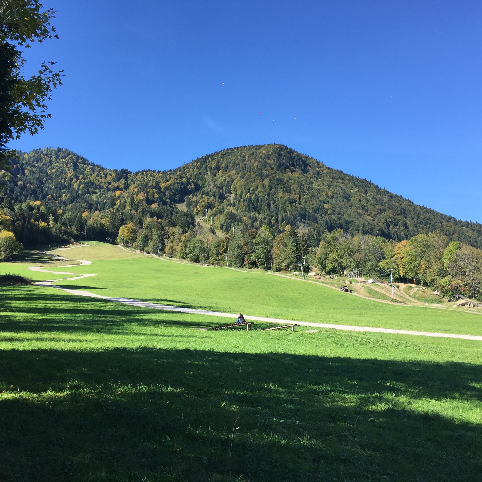
Road cycling routes around Stallauer Weiher traverse the scenic landscapes of Upper Bavaria, characterized by rolling hills and serene lakes. The region, nestled in the foothills of the Bavarian Alps, offers diverse terrain suitable for road cyclists. Routes often follow riverbanks and wind through picturesque countryside, providing varied elevation profiles.
Best road cycling routes around Stallauer Weiher
- The most popular road cycling route is Isar River in Bad Tölz – Old Town, Bad Tölz loop from Landkreis Bad Tölz-Wolfratshausen,…
Last updated: July 5, 2026
4.5
(15)
187
riders
Moderate road ride. Great for any fitness level. Some segments of this route may be unpaved and difficult to ride.
5.0
(4)
63
riders
Easy road ride. Great for any fitness level. Mostly well-paved surfaces and easy to ride.

Sign up for free
7
riders
30.8km
01:27
240m
240m
Moderate road ride. Great for any fitness level. Some segments of this route may be unpaved and difficult to ride.
5.0
(5)
98
riders
49.6km
02:21
530m
530m
Moderate road ride. Good fitness required. Mostly well-paved surfaces and easy to ride.
4.7
(17)
87
riders
Moderate road ride. Good fitness required. Some segments of this route may be unpaved and difficult to ride.
Get access to more routes and recommendations from other explorers.
Sign up for free
Already have an account?
Our route recommendations are based on thousands of hikes, rides, and runs completed by other people on komoot.
Start today with a free account
Your next adventure awaits.
Login or Signup

Tips from the Community

Here you can enjoy a great view of the river
10
0


Take a break
0
0

Beautiful view on bike tour
1
0
Beautiful section of the route on a training tour
0
0

Barely used road with great Alpine views
0
0
Great view of the foothills of the Alps
0
0

Beautiful church in Bad Tölz
1
0
Frequently Asked Questions
How many road cycling routes are available around Stallauer Weiher?
There are over 100 road cycling routes around Stallauer Weiher, offering a wide variety of options for different preferences and skill levels. You'll find everything from easy riverbank rides to more challenging routes through rolling hills.
What kind of terrain can I expect on road cycling routes near Stallauer Weiher?
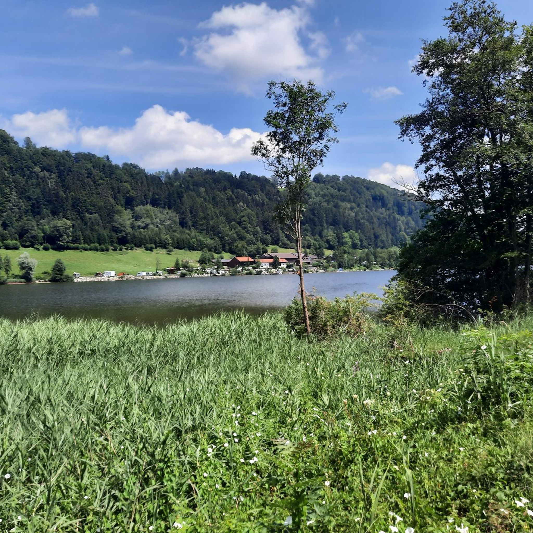
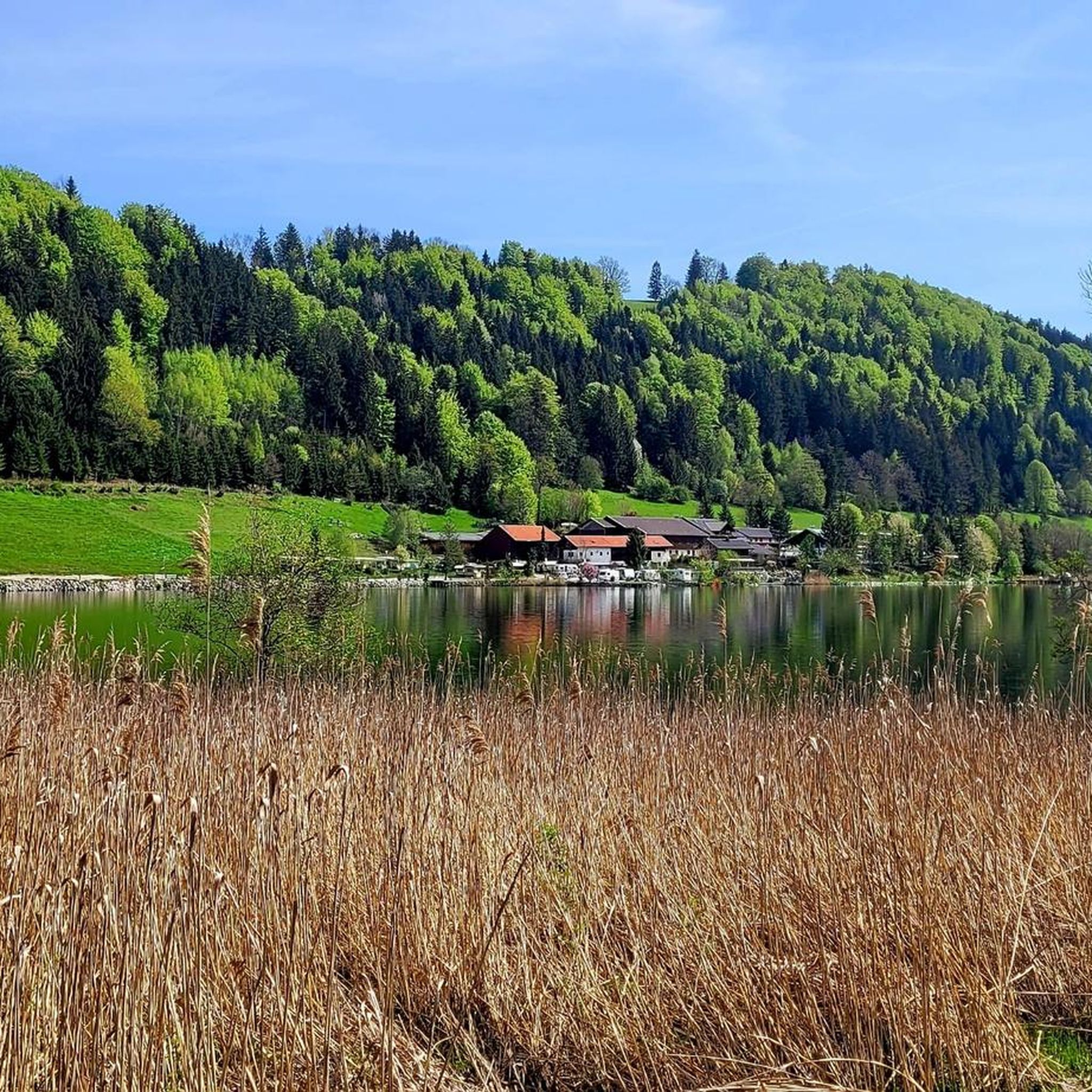
The terrain around Stallauer Weiher is characterized by picturesque landscapes, including rolling hills, serene lakes, and riverbank paths. Routes often traverse the diverse Upper Bavarian countryside, providing varied elevation profiles set against the impressive backdrop of the Bavarian Alps foothills.
Are there road cycling routes suitable for beginners or families around Stallauer Weiher?
Yes, the region offers a good selection of easier routes. For instance, the Isar River in Bad Tölz – Isar riverbank in Bad Tölz loop from Bad Heilbrunn is an easy 9.9-mile (16.1 km) path that follows the tranquil Isar riverbank, providing a scenic and less challenging ride ideal for families or those seeking a relaxed pace.
What are some notable landmarks or scenic points along the road cycling routes?
Many routes offer beautiful views and pass by interesting points. You can enjoy views along the Isar River, explore Bad Tölz's old town, or cycle through rural landscapes with charming churches. The Stallauer Weiher itself is a scenic highlight, and the Lake Constance–Königssee Cycle Route (section Bad Heilbrunn – Bad Tölz) offers a dedicated path with picturesque surroundings.
What do other road cyclists say about the routes in Stallauer Weiher?
The road cycling routes in Stallauer Weiher are highly rated by the komoot community, with an average score of 4.6 stars from over 500 reviews. More than 9,000 road cyclists have explored the varied terrain, often praising the scenic beauty and diverse options available.
Are there any moderate road cycling routes for experienced riders?
Absolutely. Many routes fall into the moderate category, offering a good balance of distance and elevation. A popular choice is the Isar River in Bad Tölz – Old Town, Bad Tölz loop from Landkreis Bad Tölz-Wolfratshausen, a 22.4-mile (36.1 km) trail with moderate elevation, offering views along the Isar River and through Bad Tölz's old town.
Can I find cafes or accommodation directly along the road cycling routes?
While Stallauer Weiher itself is a natural area, the surrounding towns and villages like Bad Heilbrunn and Bad Tölz offer various amenities. For example, Speck Bäcker in Bad Heilbrunn is a cafe you might pass, and the Demmelhof Campsite provides accommodation options nearby.
What is the best season for road cycling around Stallauer Weiher?
The region is generally pleasant for road cycling from spring through autumn. These seasons offer mild temperatures and vibrant landscapes, making for enjoyable rides. While specific conditions vary, avoiding the peak heat of summer midday or the colder winter months is advisable for optimal comfort.
Are there circular road cycling routes available?
Yes, many of the road cycling routes around Stallauer Weiher are designed as loops, allowing you to start and finish at the same point. Examples include the Church of Oberbuchen – Gasthof Ramsau loop from Spiegel, which takes you through rolling hills and rural landscapes.
Is there parking available for cyclists near the routes?
Yes, parking facilities are generally available in the towns and villages that serve as starting points for many routes, such as Bad Tölz or Bad Heilbrunn. It's advisable to check specific parking options for your chosen starting location.
Can I reach the road cycling routes by public transport with my bike?
Public transport options, including regional trains and buses, often allow for bicycle transport, though specific rules and peak hour restrictions may apply. Towns like Bad Tölz are well-connected and can serve as good access points for reaching the wider cycling network around Stallauer Weiher.
Most popular routes around Stallauer Weiher
Most popular attractions around Stallauer Weiher

Get inspired with the komoot mobile app


Explore more
Browse the best Road cycling routes in other regions.
