The best gravel rides around Tankumsee
4.4
(94)
392
riders
70
rides
Gravel biking around Tankumsee offers a diverse environment within the Südheide region, characterized by a mix of natural features and varied terrain. Riders can expect paths composed of asphalt, gravel, loose gravel, farm tracks, and forest sections. The area includes the Barnbruch landscape protection area, featuring deciduous forests and wet meadows, alongside the Aller and Elbe Lateral Canals. The routes often feature charming forest sections and farm tracks, providing a scenic journey.
Best gravel bike trails around Tankumsee
- The most…
Last updated: July 3, 2026
3.7
(3)
7
riders
Easy gravel ride. Great for any fitness level. Mostly paved surfaces. Suitable for all skill levels.
5.0
(1)
20
riders
Hard gravel ride. Good fitness required. You may need to push your bike for some segments of this route.

Sign up for free
4.4
(5)
23
riders
41.8km
02:15
150m
150m
Hard gravel ride. Good fitness required. You may need to push your bike for some segments of this route.
4.8
(4)
9
riders
36.2km
01:58
80m
80m
Easy gravel ride. Great for any fitness level. Mostly paved surfaces. Suitable for all skill levels.
4.7
(3)
7
riders
29.7km
01:32
50m
50m
Easy gravel ride. Great for any fitness level. Mostly paved surfaces. Suitable for all skill levels.
Get access to more routes and recommendations from other explorers.
Sign up for free
Already have an account?
Our route recommendations are based on thousands of hikes, rides, and runs completed by other people on komoot.
Start today with a free account
Your next adventure awaits.
Login or Signup
Tips from the Community

Pocken-Waldweg is a beautiful, quiet forest path near Gifhorn, ideal for a short walk or a little jogging round.
0
0
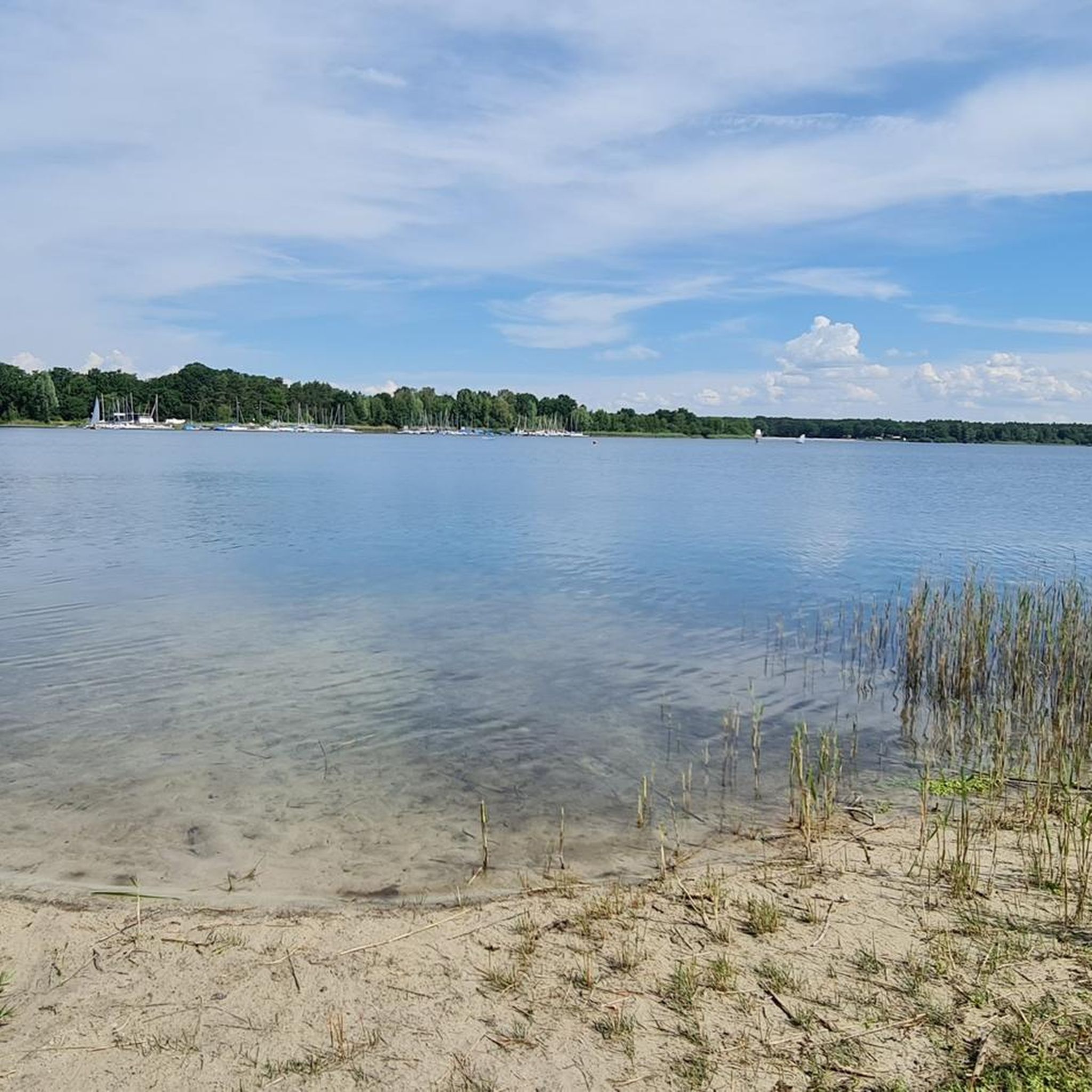
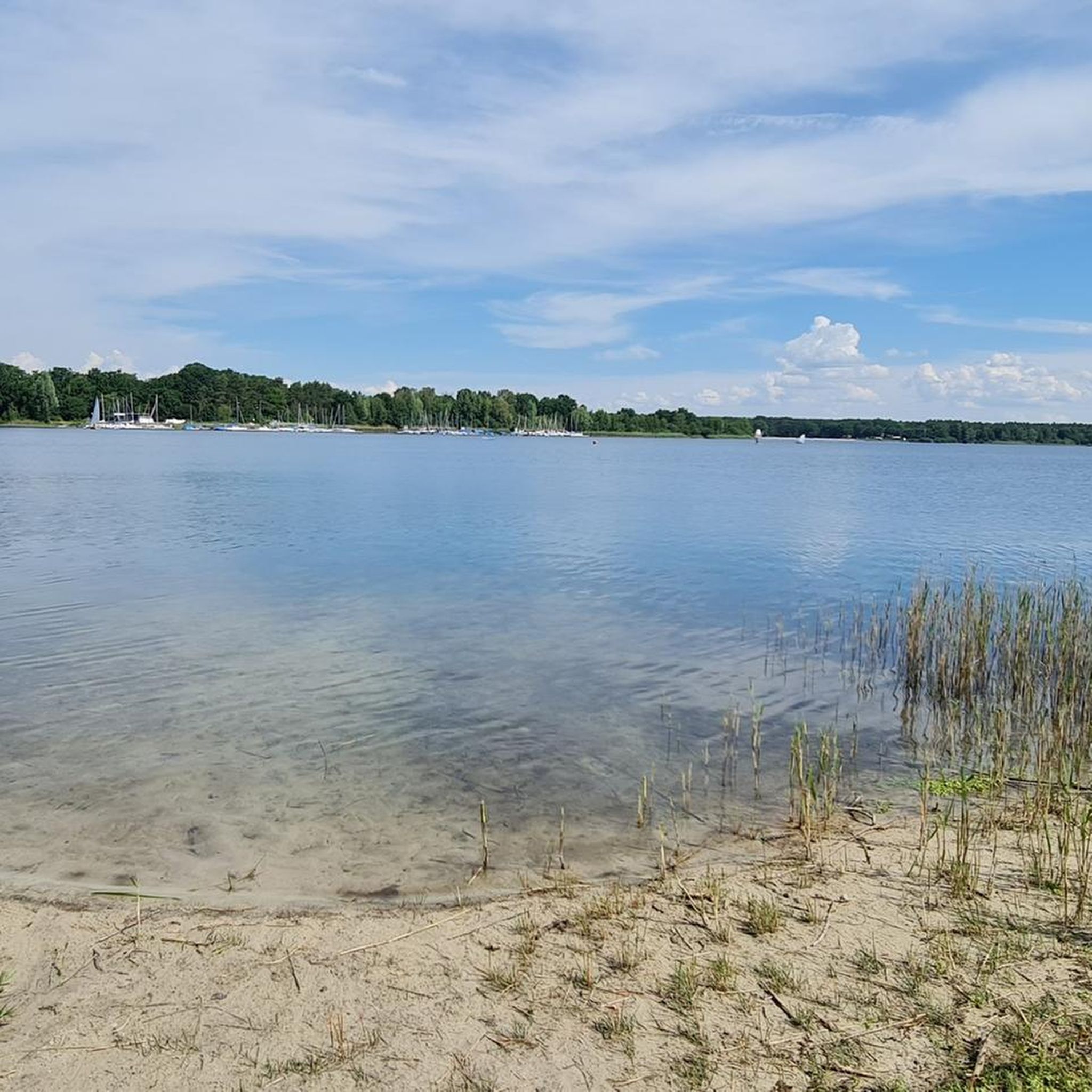
The north bank of Tankumsee is overall the quieter and somewhat more natural side of the lake. While the main beach is often busy, you'll find more relaxed lounging areas, less hustle and bustle, and good places to switch off.
0
0
The Sülfeld lock group is located in the Sülfeld district of Wolfsburg and is a central hub of the Mittellandkanal (MLK). It connects the higher-lying summit level (from the direction of Hanover) with the lower-lying eastern level (towards Magdeburg).
0
0
The Sülfeld lock group in the Wolfsburg district of Sülfeld is an impressive example of German engineering and a central hub on the Mittelland Canal (kilometer 237). It connects the higher-lying "summit level" with the "eastern level" in the direction of the Elbe. The original south chamber was dilapidated and too narrow for modern ships. It was demolished and replaced by a new construction, which was opened in 2008 after four years of construction.
0
0
The Barnbruch is an extensive low moor area and part of the moist Aller lowlands. The Allerkanal was artificially created to drain the surrounding areas and regulate the flood protection of the Aller. The bridge connects the often impassable, moist meadows and bog forests with each other.
0
0
The Elbe-Seitenkanal (ESK) is one of the most important artificial waterways in Northern Germany. It connects the Mittellandkanal near Wolfsburg with the Elbe near Artlenburg (near Lüneburg) and serves as a powerful shortcut for inland navigation between the Port of Hamburg and the hinterland.
0
0
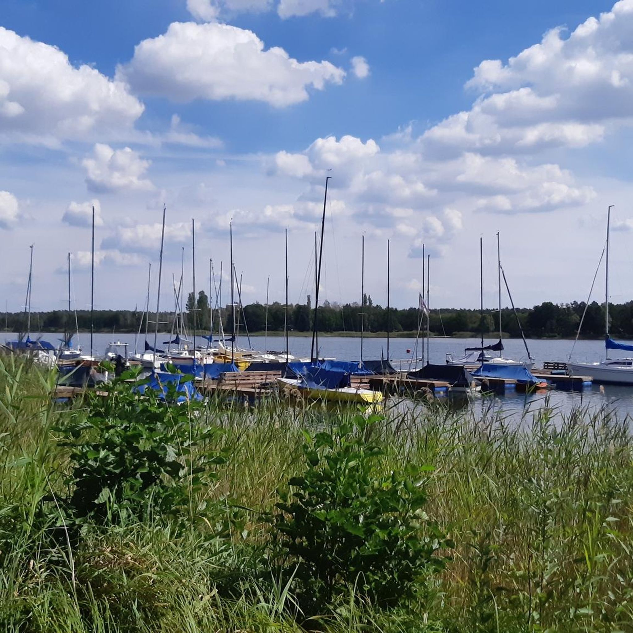
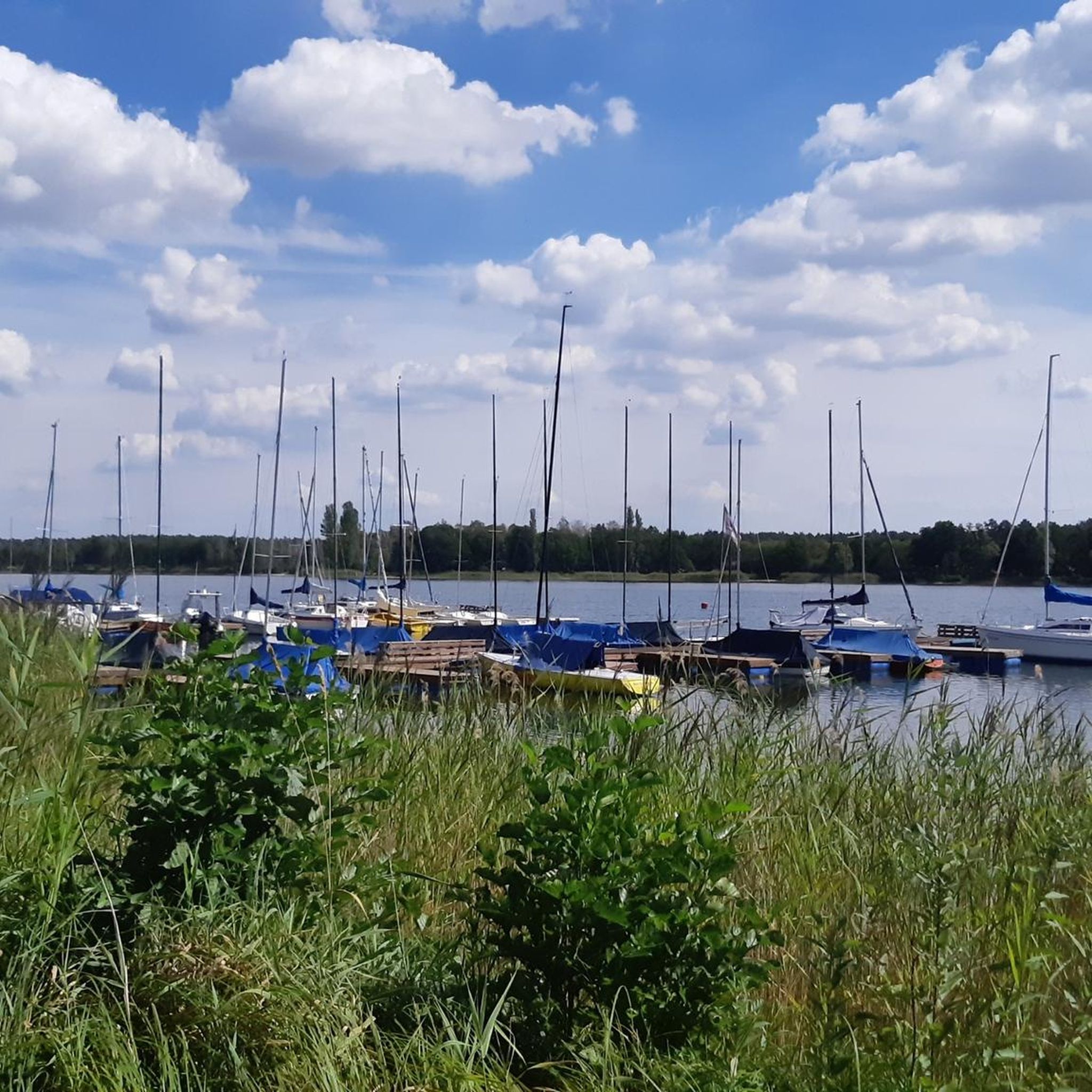
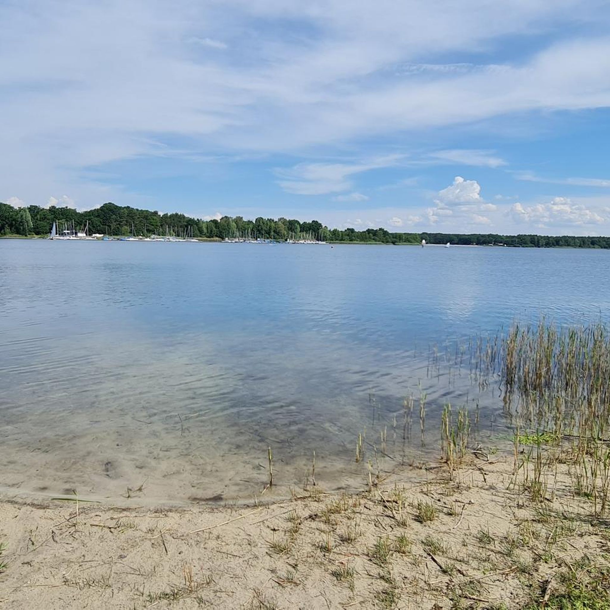
The Tankumsee is far more than just a retention basin – it is the “blue heart” of the Südheide and one of the most popular local recreation areas in the Gifhorn/Wolfsburg region. The lake was created in the 1970s during the construction of the Elbe-Seitenkanal.
1
0
Frequently Asked Questions
How many gravel bike trails are available around Tankumsee?
There are nearly 100 gravel bike trails around Tankumsee. This includes a diverse range of routes, with over 40 easy trails, almost 40 moderate options, and more than a dozen challenging routes for experienced riders.
What kind of terrain will I encounter on gravel bike trails near Tankumsee?
You can expect a varied mix of surfaces, including asphalt, gravel, loose gravel, farm tracks, and charming forest sections. Many routes traverse the scenic Barnbruch landscape protection area with its deciduous forests and wet meadows, as well as paths along the Aller and Elbe Lateral Canals.
Are there any family-friendly gravel biking routes around Tankumsee?
Yes, Tankumsee offers many family-friendly options. Over 40 easy routes are available, perfect for a relaxed outing. A good choice for families is the Tankumsee North Shore – Aller Canal at Tankumsee loop from Kranichsmoorsee, which is an easy 9.8-mile (15.7 km) trail exploring the lake's northern shore and the Aller Canal.
What natural features can I see while gravel biking in the Tankumsee area?
The region is rich in natural beauty. You'll ride through dense forests, picturesque heathland, and along rivers like the Aller. The Barnbruch area offers beautiful deciduous forests and wet meadows, while the paths around Tankumsee itself provide scenic views of the lake. You might also encounter moor and pond landscapes within the broader Südheide region.
Are there any interesting landmarks or attractions along the gravel bike trails?
Yes, several points of interest can be found. You can cycle past the Tankumsee Beach and the Beach at the DLRG tower. Many routes also feature canal underpasses, such as Canal underpass - Junction 21, which are practical and interesting architectural features within the landscape.
What is the best season for gravel biking around Tankumsee?
The Tankumsee area is enjoyable for gravel biking throughout much of the year. Spring and autumn offer pleasant temperatures and vibrant scenery. Summer is also popular, especially if you plan to combine your ride with a swim in the lake. Even in winter, many paths remain rideable, though conditions can vary with snow or ice.
Are there any circular gravel bike routes available?
Yes, many of the gravel bike routes around Tankumsee are designed as loops. For example, the Castle Lake, Gifhorn – Pocken Forest Path loop from Calberlah is an easy 18.5-mile (29.8 km) circular trail that takes you through varied landscapes.
Where can I park my car when visiting Tankumsee for gravel biking?
Tankumsee offers ample parking facilities, especially near the main recreational areas. These are typically well-signposted and provide convenient access to the lake and the surrounding cycling network.
What do other gravel bikers enjoy most about the Tankumsee area?
The area is highly rated by the komoot community, with an average score of 4.4 stars from over 90 reviews. Riders often praise the diverse terrain, the scenic forest sections, and the well-maintained paths that make for an engaging gravel biking experience. The combination of natural beauty and varied routes is frequently highlighted.
Are there options for more challenging gravel bike rides near Tankumsee?
Absolutely. For experienced gravel bikers seeking a challenge, there are several difficult routes. The Herzogsberge Nature Reserve – Riddagshausen Nature Reserve loop from Calberlah is a demanding 46.2-mile (74.3 km) path that traverses nature reserves, offering varied terrain through forests and open landscapes.
Can I find places to eat or drink near the gravel bike trails?
Yes, the Tankumsee area is well-equipped with amenities. You'll find kiosks and restaurants, such as Lacus & Silva am Tankumsee, which offer dining options with lake views. These are perfect for a refreshment stop before or after your ride.
How can I navigate the gravel bike trails in the broader Südheide region?
The broader Südheide region, where Tankumsee is located, features a convenient 'junction system.' Each crossing of two cycle paths is marked with a numbered junction and an information board, making it easy to plan and follow your routes through the extensive network of trails.
Most popular routes around Tankumsee
Most popular attractions around Tankumsee

Get inspired with the komoot mobile app


Explore more
Browse the best Gravel rides in other regions.
