The best gravel rides around Brettmühlenteich
4.4
(5)
31
riders
10
rides
Gravel biking around Brettmühlenteich offers diverse terrain within the Zschornaer Teichgebiet nature reserve. The region features tranquil forest ponds, serene forests, and open meadows, providing varied landscapes for cycling. Routes often combine paved and unpaved surfaces, catering to the mixed-terrain nature of gravel biking. This area is characterized by its network of water features and woodlands, making it suitable for exploring on a gravel bike.
Best gravel bike trails around Brettmühlenteich
- The most popular gravel bike trail is Biberteich –…
Last updated: July 16, 2026
5.0
(1)
3
riders
27.4km
01:54
170m
170m
Moderate gravel ride. Good fitness required. Mostly paved surfaces. Suitable for all skill levels.
8
riders
29.8km
01:44
120m
120m
Hard gravel ride. Great for any fitness level. You may need to push your bike for some segments of this route.

Sign up for free
4.0
(1)
4
riders
56.7km
03:39
390m
390m
Hard gravel ride. Good fitness required. You may need to push your bike for some segments of this route.
4.0
(1)
6
riders
28.5km
01:45
160m
160m
Moderate gravel ride. Good fitness required. Mostly paved surfaces. Suitable for all skill levels.
2
riders
43.6km
02:52
230m
230m
Hard gravel ride. Good fitness required. You may need to push your bike for some segments of this route.
Get access to more routes and recommendations from other explorers.
Sign up for free
Already have an account?
Our route recommendations are based on thousands of hikes, rides, and runs completed by other people on komoot.
Start today with a free account
Your next adventure awaits.
Login or Signup
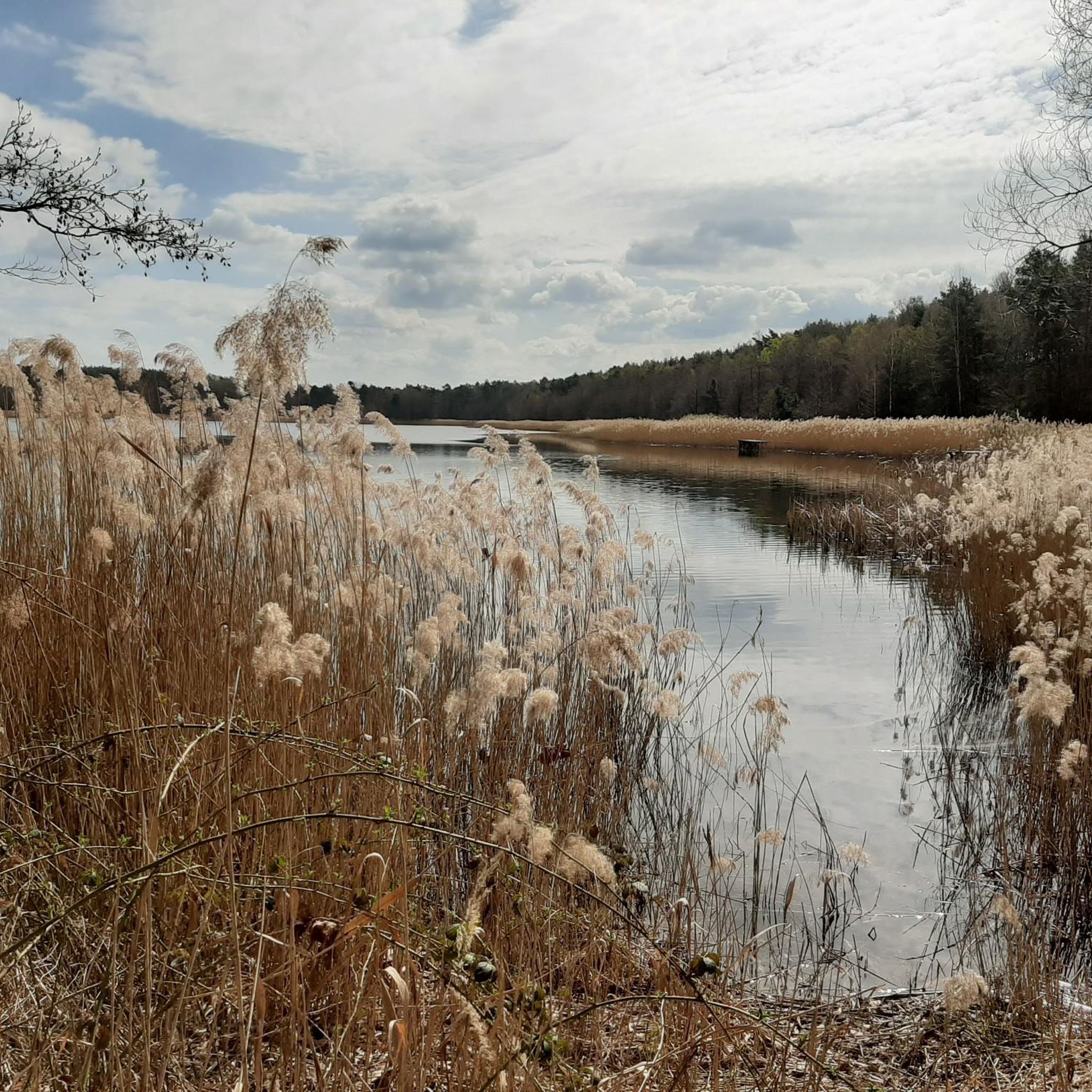
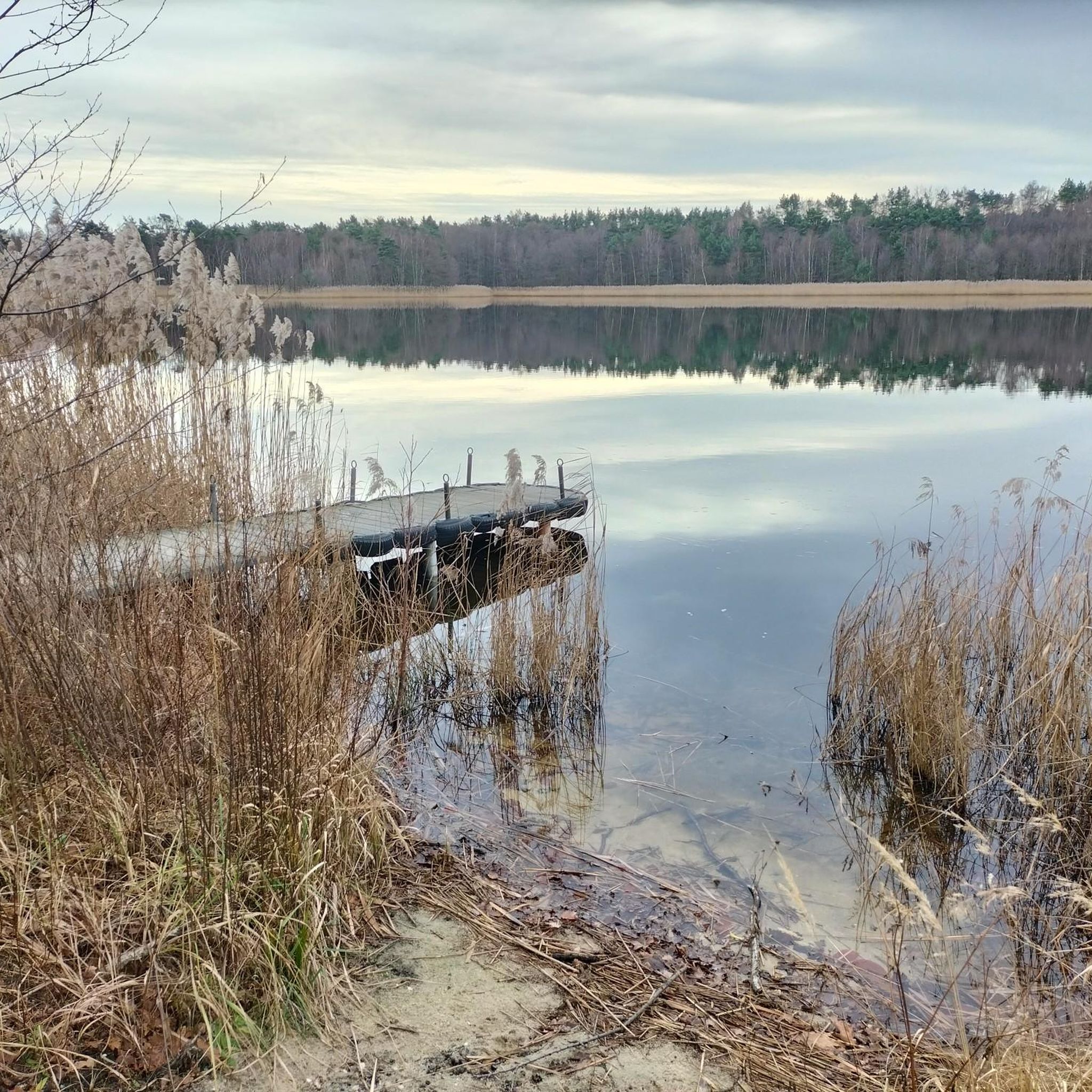
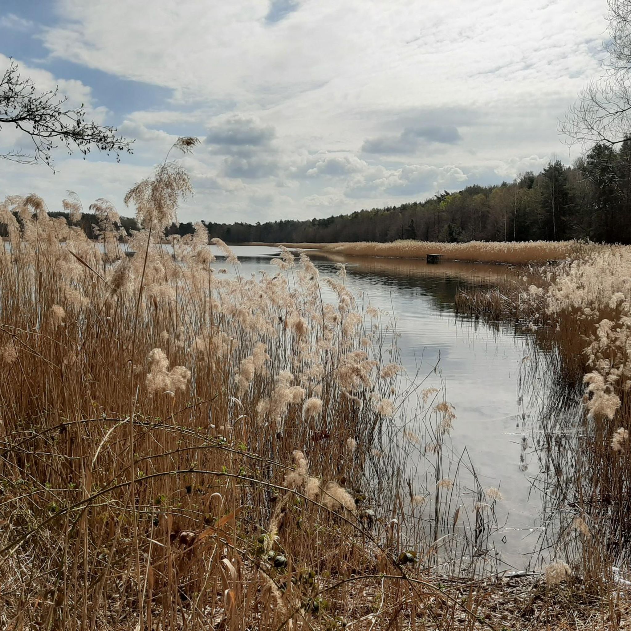
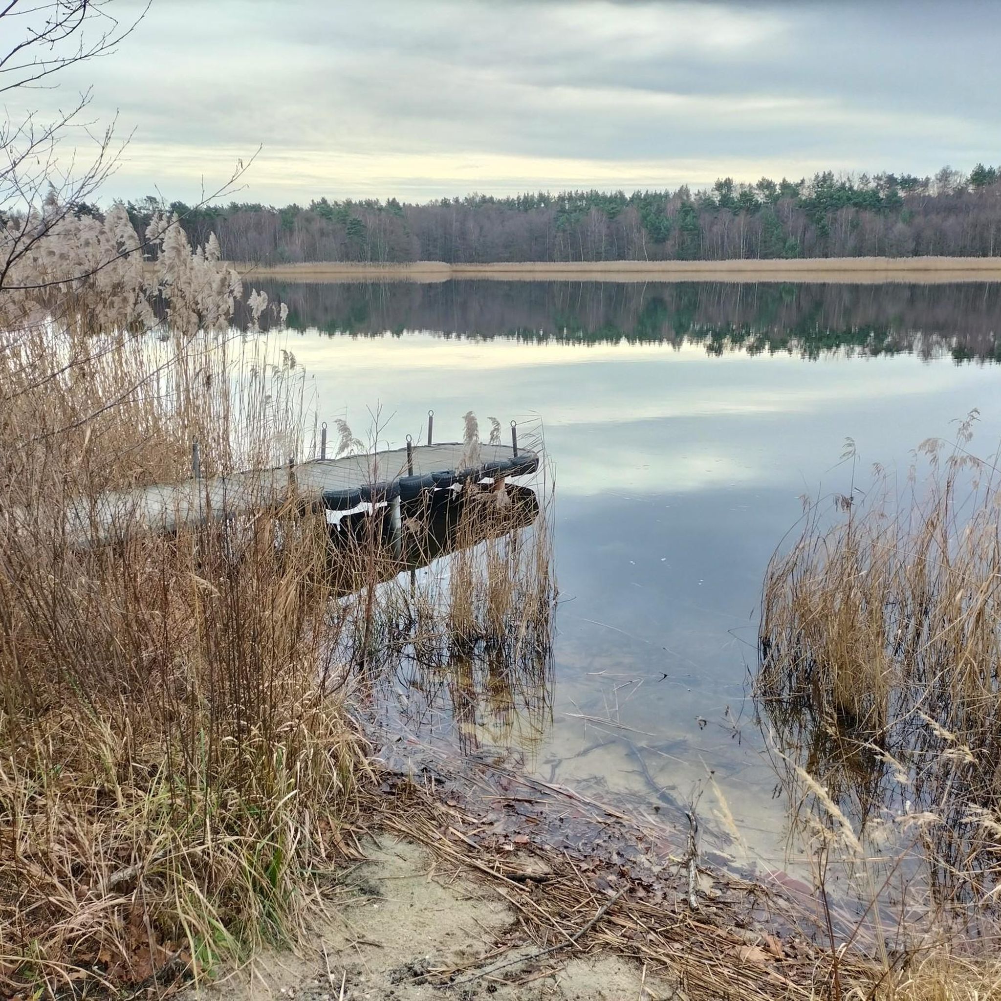
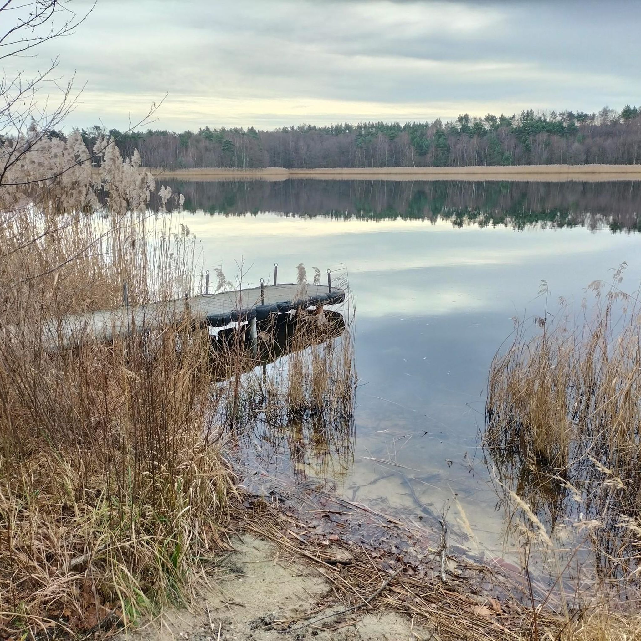
Tips from the Community

nice opportunity not to have to ride on the road
0
0

Beautiful view over the perimeter wall, built by the federation
0
0


Cozy spot for a rest
0
0

Just a few meters from the road, at the northeast end, you can even ride your racing bike to the "beach" to cool off.
2
0

A truly idyllic place. Here you can enjoy nature to the fullest.
0
0

Wonderful place for a break and a small picnic.
0
0

Very beautiful ponds that we discovered on the way to Moritzburg.
0
0
Frequently Asked Questions
How many gravel bike trails are available around Brettmühlenteich?
There are over 10 gravel bike trails around Brettmühlenteich, offering a variety of experiences. These routes are rated by the komoot community with an average score of 4.7 stars.
What kind of terrain can I expect on gravel bike routes in Brettmühlenteich?
The terrain around Brettmühlenteich is diverse, featuring a mix of tranquil forest ponds, serene forests, and open meadows. Routes often combine paved and unpaved surfaces, which is ideal for gravel biking. You'll find paths that blend the speed of road cycling with the robustness needed for off-road sections.
Are there any family-friendly gravel bike routes in the area?
Yes, the area offers routes suitable for families. While specific 'family-friendly' routes aren't explicitly named in the top recommendations, the general terrain around the lake is often gentle, making it suitable for leisurely rides. Look for routes described as 'moderate' difficulty for a good balance.
What are some of the longer gravel bike routes for advanced riders?
For advanced riders seeking longer distances, consider routes like the Haarweiden Reservoir – Fasanenschlösschen Moritzburg loop from Radeburg, which spans 56.4 km and takes about 3 hours 40 minutes. Another challenging option is the Altenteiche Moritzburg – Large Pond loop from Berbisdorf, covering 43.5 km.
Are there any circular gravel bike routes around Brettmühlenteich?
Many of the gravel bike routes in the Brettmühlenteich area are designed as loops, allowing you to start and end at the same point. Examples include the Biberteich – Forest shelter with cross loop from Kleinnaundorf and the Zschorna Pond Area – Breiter Pond loop from Thiendorf.
What can I see along the gravel bike trails around Brettmühlenteich?
Along the gravel bike trails, you can enjoy scenic views of the lake, forests, and fields within the Zschornaer Teichgebiet nature reserve. Notable points of interest include the Brettmühle Pond itself, and a viewpoint of the bathing area. You might also spot a Beaver Habitat or cross a Narrow Bridge Over Stream.
Where can I find parking for gravel biking near Brettmühlenteich?
The Naturcamping Brettmühlenteich, located directly on the lake, serves as a convenient base for exploring the region and likely offers parking facilities for visitors. Given its popularity as an outdoor destination, there are usually designated parking areas near trailheads or key access points around the lake.
What do other gravel bikers enjoy most about gravel biking in Brettmühlenteich?
The area is highly rated by the komoot community, with an average score of 4.7 stars. Reviewers often praise the diverse terrain that blends paved and unpaved sections, the tranquil natural landscapes of the Zschornaer Teichgebiet nature reserve, and the scenic views of the lake and forests.
Are there any cafes or places to eat near the gravel trails?
Yes, the Naturcamping Brettmühlenteich features dining facilities, including the Brettmühlenschänke, which is a convenient option for refreshments and meals directly on the lake. This makes it easy to refuel before or after your ride.
What is the best time of year for gravel biking around Brettmühlenteich?
The region's natural beauty, with its forests and ponds, makes it enjoyable across multiple seasons. Spring and autumn offer pleasant temperatures and vibrant scenery. Summer is also great, especially if you plan to combine your ride with water-based activities at the lake. Even winter can be an option, though conditions may vary and some paths might be less accessible.
Are there any moderate difficulty gravel routes suitable for intermediate riders?
Absolutely. Intermediate riders will find several moderate routes. For example, the Biberteich – Forest shelter with cross loop from Kleinnaundorf is a moderate 27.5 km trail, and the Niederer Waldteich – Middle Pond loop from Medingen is another excellent moderate option at 28.5 km.
Most popular routes around Brettmühlenteich
Most popular attractions around Brettmühlenteich

Get inspired with the komoot mobile app


Explore more
Browse the best Gravel rides in other regions.
