The best walks and hikes around Brettmühlenteich
4.5
(1658)
6,691
hikers
424
hikes
Hiking around Brettmühlenteich offers diverse landscapes within the Zschornaer Teichgebiet nature reserve. The area is characterized by its location directly on the Brettmühlenteich, surrounded by forests and meadows. This creates a pond landscape suitable for extended walks and hikes. Trails provide opportunities to discover nature in tranquility, with numerous benches and huts for rest.
Best hiking trails around Brettmühlenteich
- The most popular hiking route is View of the Zschornaer Pond Area – View of the Zschorna Pond Area loop from Zschornaer Teichgebiet, a 5.6 miles (9.1 km) moderate trail that takes about 2 hours 19 minutes to complete, offering expansive views of the pond area.
- Another top favourite among local hikers is Brettmühlenteich Schänke – Beaver Habitat loop from Zschornaer Teichgebiet, an easy 3.8 miles (6.1 km) path. This route leads through varied terrain, including sections near the beaver habitat.
- Local hikers also love the Niederteich Lake – Lake View Rest Area loop from Zschornaer Teichgebiet, a 5.3 miles (8.6 km) trail leading through the tranquil pond landscape, often completed in about 2 hours 12 minutes.
- Hiking around Brettmühlenteich is defined by its serene lakeside setting, extensive forests, and open meadows. The network offers options for different ability levels, from easy strolls to moderate hikes.
- The routes in Brettmühlenteich are highly rated by the komoot community with an average score of 4.5 stars from over 1,800 reviews. More than 7,500 hikers have used komoot to explore Brettmühlenteich's varied terrain.
Last updated: July 10, 2026
4.3
(96)
372
hikers
Moderate hike. Good fitness required. Easily-accessible paths. Suitable for all skill levels.
4.3
(6)
33
hikers
Easy hike. Great for any fitness level. Easily-accessible paths. Suitable for all skill levels.

Sign up for free
4.0
(2)
11
hikers
Moderate hike. Good fitness required. Easily-accessible paths. Suitable for all skill levels.
5.0
(2)
11
hikers
Easy hike. Great for any fitness level. Easily-accessible paths. Suitable for all skill levels.
4.0
(1)
5
hikers
Moderate hike. Good fitness required. Easily-accessible paths. Suitable for all skill levels.
Get access to more routes and recommendations from other explorers.
Sign up for free
Already have an account?
Our route recommendations are based on thousands of hikes, rides, and runs completed by other people on komoot.
Start today with a free account
Your next adventure awaits.
Login or Signup
Tips from the Community

Please note the opening hours: https://brettmuehlenschaenke.de
0
0
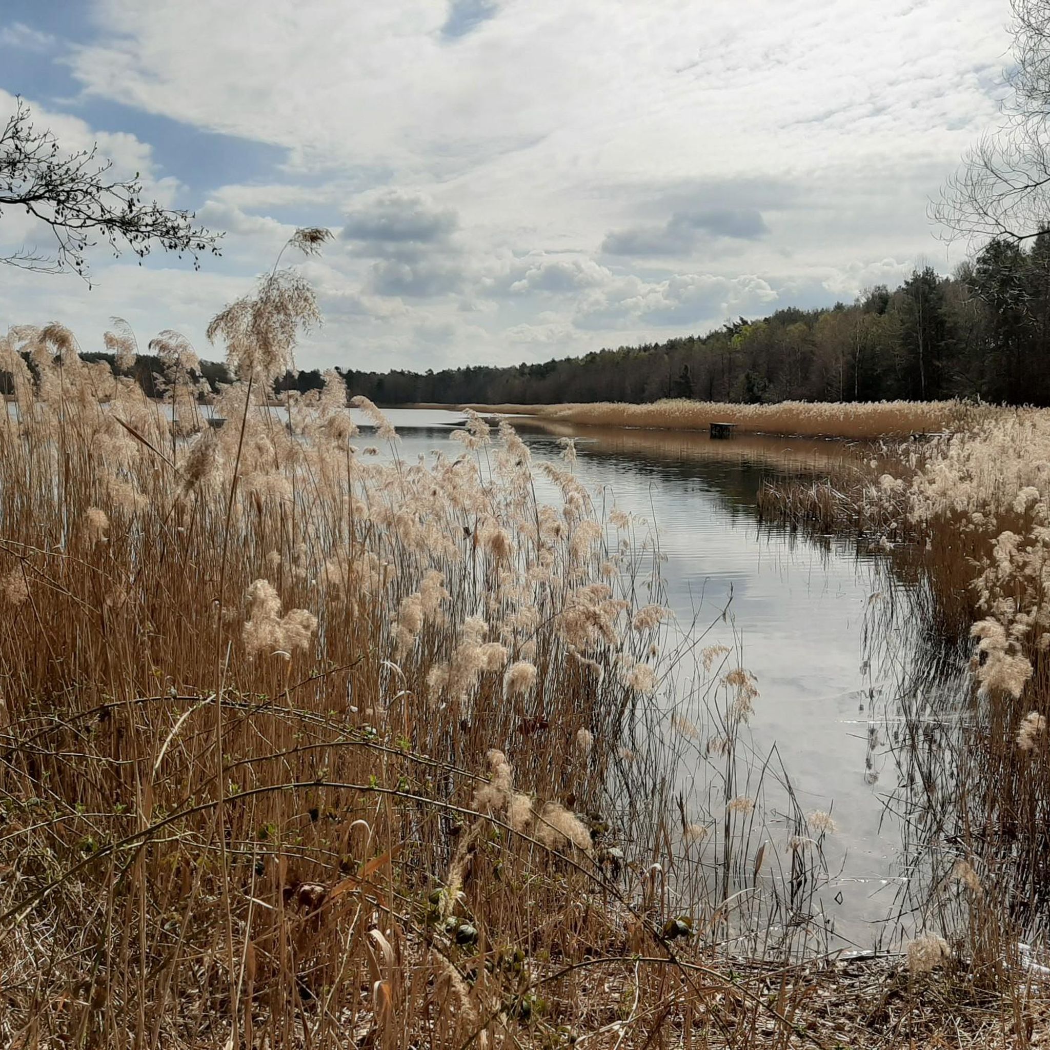
Natural path - the beaver tracks are impossible to miss.
0
0
Large paid parking lot. Fee update: 1 hour: €1 Day ticket: €5 There's nothing in between...
0
0

The previously blocked passage is open again.
1
0

Along the way you can often see trees that have been eaten and the occasional beaver migration.
1
0

A good drop in a beautiful spot, easily accessible by bike...
0
1

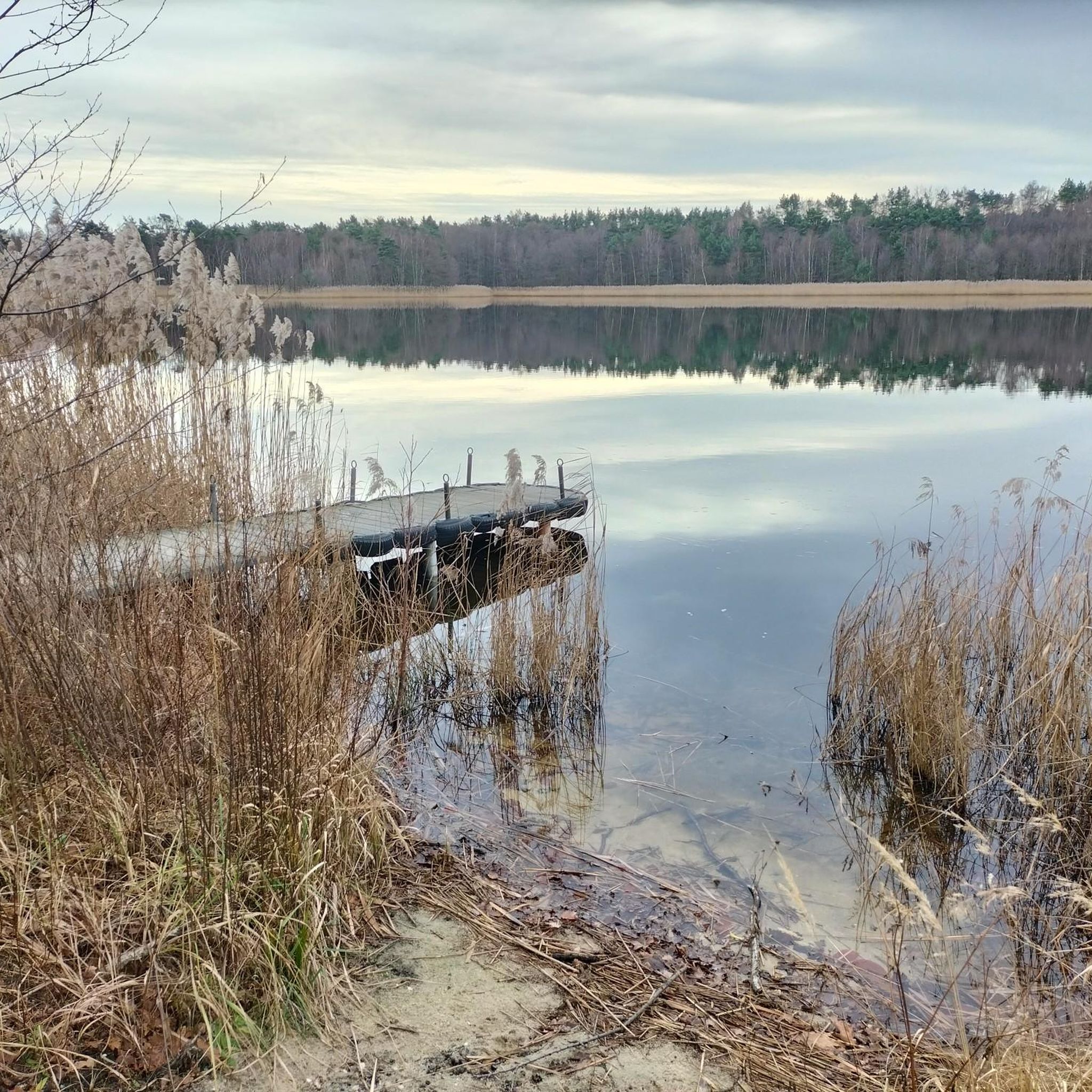
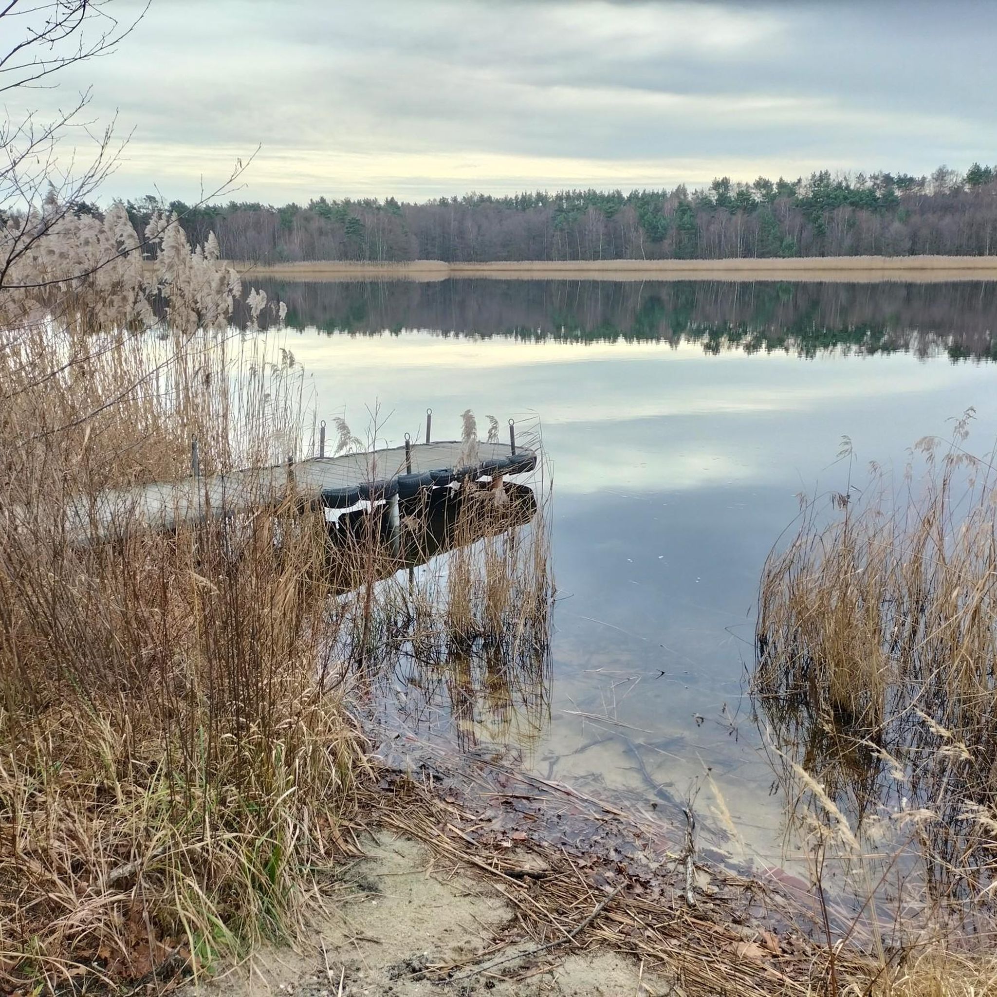
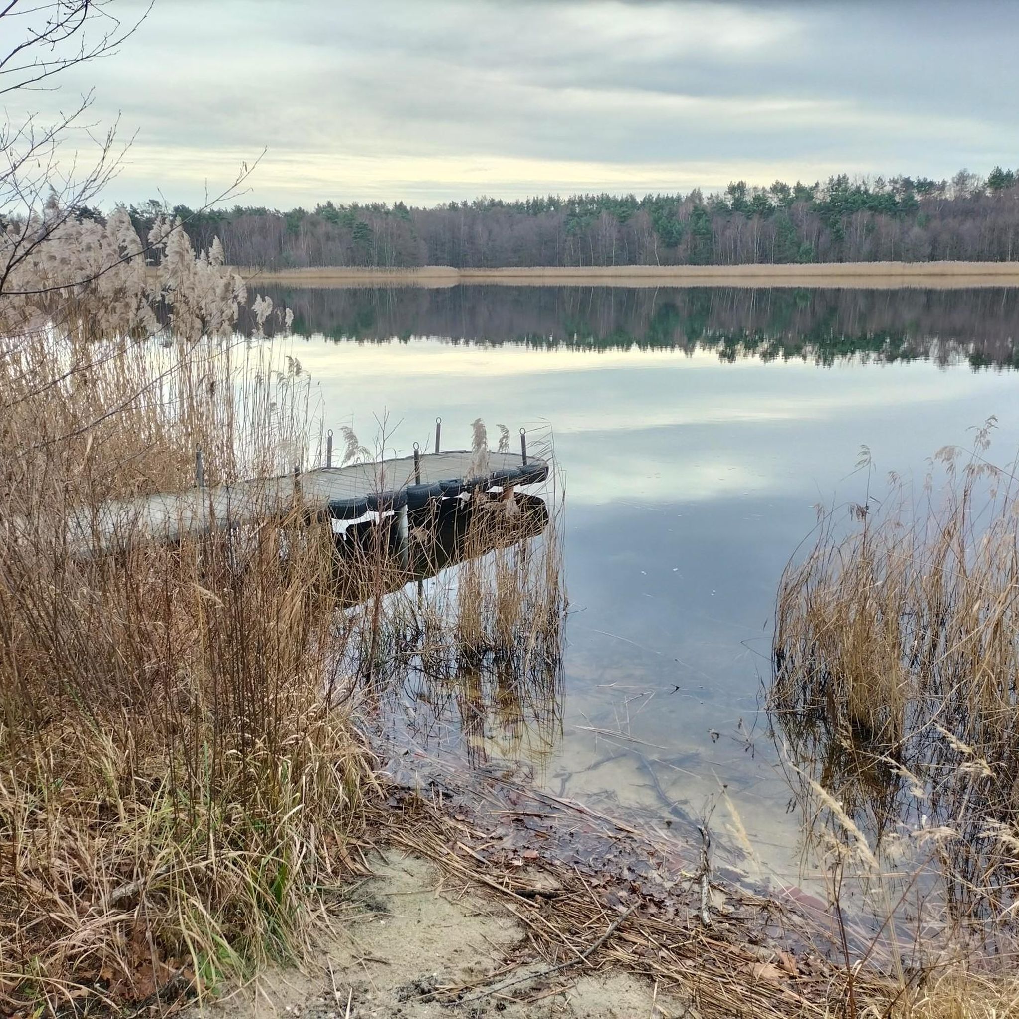
From this jetty you can see the bathing area with sandy beach on the other side of the Brettmühlenteich.
0
0

Looks very deserted and fenced off, which is a shame... Otherwise you haven't missed anything...
0
0
Frequently Asked Questions
How many hiking trails are available around Brettmühlenteich?
There are over 430 hiking routes around Brettmühlenteich, catering to various skill levels. This includes more than 230 easy routes, 180 moderate trails, and a few more challenging options for experienced hikers.
What kind of natural features can I expect to see while hiking in the Brettmühlenteich area?
The area is characterized by its serene pond landscape, lush forests, and expansive meadows. You'll find the central Brettmühle Pond, and some routes, like the Brettmühlenteich Schänke – Beaver Habitat loop from Zschornaer Teichgebiet, even pass by a Beaver Habitat. There are also charming features like a Narrow Bridge Over Stream and a Root Trail with Bridges.
Are there any family-friendly hiking options around Brettmühlenteich?
Yes, many of the trails are suitable for families. With over 230 easy routes, you'll find plenty of gentle paths through the forests and around the pond. An excellent choice for families is the Naturcamping Brettmühlenteich – Lakeside Beach loop from Zschornaer Teichgebiet, which is an easy 4.1 km walk.
Are dogs allowed on the hiking trails in Brettmühlenteich?
Generally, dogs are welcome on the hiking trails around Brettmühlenteich. As it's part of a nature reserve, it's important to keep dogs on a leash, especially near wildlife and other hikers, to protect the local ecosystem and ensure a pleasant experience for everyone.
What is the best time of year to go hiking in Brettmühlenteich?
The Brettmühlenteich area is beautiful year-round. Spring brings fresh greenery and blooming flora, while summer offers pleasant temperatures for lakeside walks and swimming. Autumn transforms the forests with vibrant colors, and even winter provides tranquil, snowy landscapes for a peaceful hike, though some paths might be icy.
Are there circular hiking routes available?
Yes, the majority of routes around Brettmühlenteich are circular, making them convenient for day trips. Examples include the popular View of the Zschornaer Pond Area loop and the Niederteich Lake – Lake View Rest Area loop.
What do other hikers enjoy most about the trails in Brettmühlenteich?
The trails in Brettmühlenteich are highly rated by the komoot community, with an average score of 4.5 stars from over 1,800 reviews. Hikers often praise the tranquil atmosphere, the picturesque pond landscapes, and the well-maintained paths that offer a peaceful escape into nature.
Are there any viewpoints or scenic spots along the trails?
Yes, the area offers several scenic spots. The View of the Zschornaer Pond Area loop provides expansive views of the pond area. You can also find a specific View of the bathing area at Brettmühlenteich, perfect for enjoying the lakeside scenery.
Is there parking available for hikers?
Yes, parking is generally available near the main access points to the hiking trails, particularly around the Brettmühlenteich itself and the Zschornaer Teichgebiet. Specific parking information can often be found on individual route pages or local signage.
Can I reach the hiking trails by public transport?
While the Brettmühlenteich area is primarily accessed by car, some local bus services may connect nearby villages to larger towns. It's advisable to check local public transport schedules for the most up-to-date information on reaching the Zschornaer Teichgebiet.
Are there any longer or more challenging hikes in the region?
While most trails around Brettmühlenteich are easy to moderate, the wider region offers more challenging options. For those seeking more adventurous hikes, the Elbe Sandstone Mountains, also known as Saxon Switzerland, are within reach and feature distinctive rock formations and extensive forests.
What other activities can I do in the Brettmühlenteich area besides hiking?
Beyond hiking, Brettmühlenteich is a hub for recreation. You can enjoy swimming and fishing in the pond. The area also serves as a great base for exploring nearby attractions like Moritzburg Castle, the Moritzburg Wildlife Park, or even the cultural city of Dresden.
Most popular routes around Brettmühlenteich
Most popular attractions around Brettmühlenteich

Get inspired with the komoot mobile app


Explore more
Browse the best Hikes in other regions.
