The best gravel rides around Dam Heyda
4.8
(65)
320
riders
76
rides
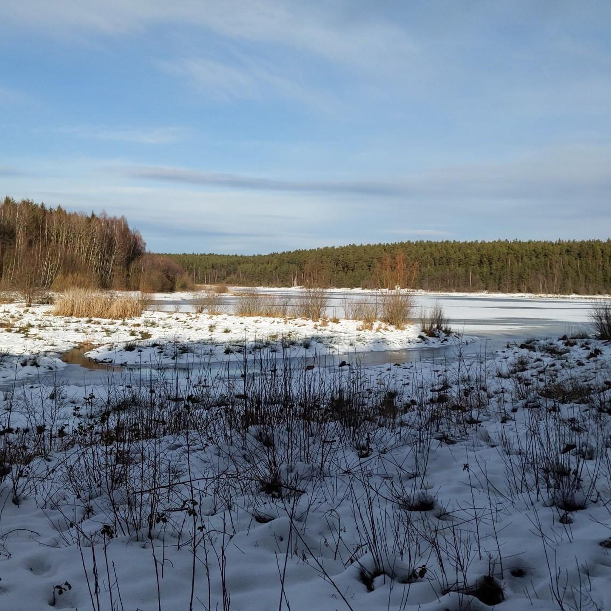
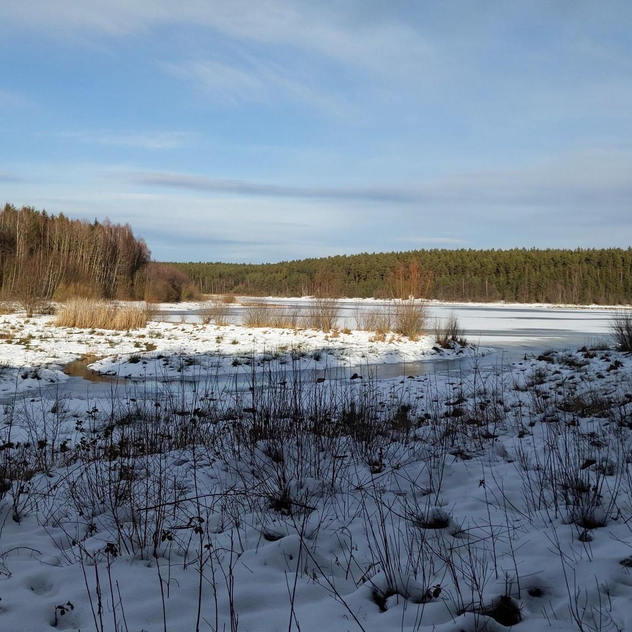
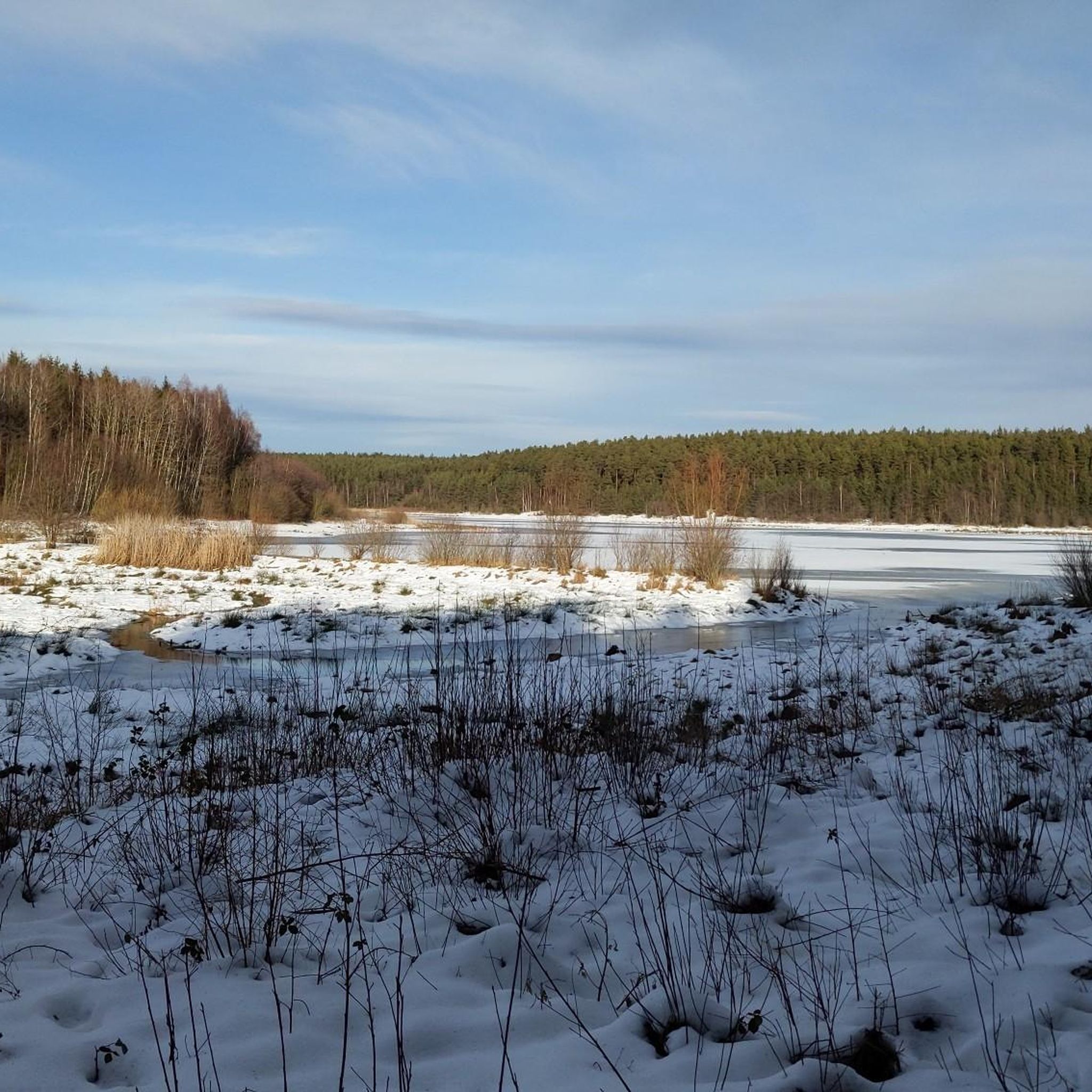
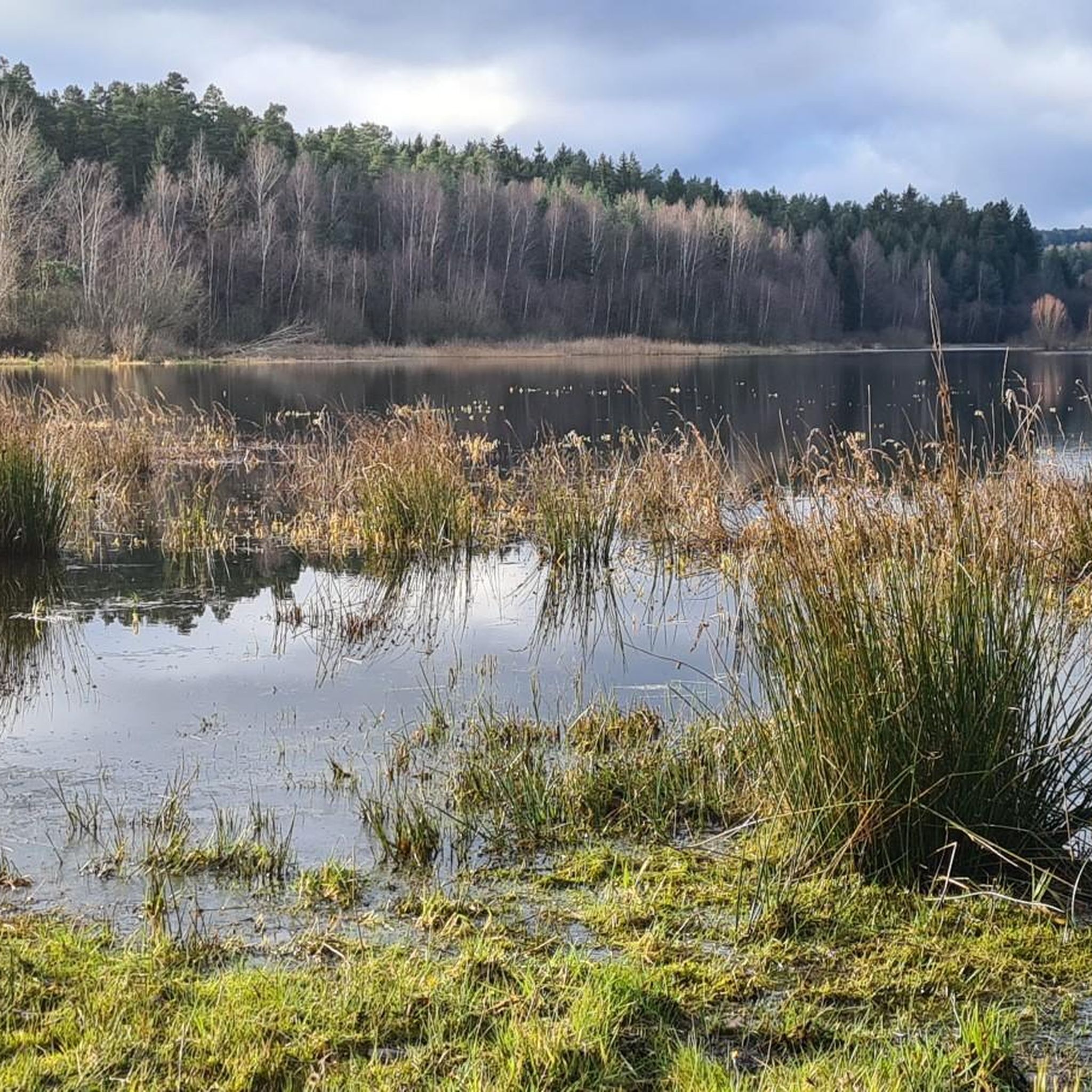
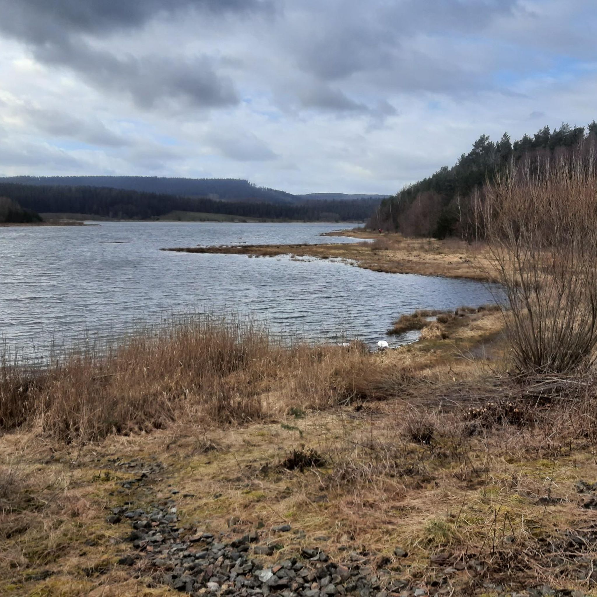
Gravel biking around Dam Heyda offers a diverse landscape within the Thuringian Forest region of Germany. The area features a mix of forested trails, rolling hills, and paths alongside water bodies like the Heyda Reservoir. The terrain primarily consists of unpaved roads and forest tracks suitable for gravel bikes, with elevation changes providing varied challenges.
Best gravel bike trails around Dam Heyda
- The most popular gravel bike trail is Center of the Rennsteig – Ilmtal Cycle Path Near Ilmenau loop…
Last updated: October 6, 2026
5.0
(2)
9
riders
53.4km
03:49
1,020m
1,020m
Hard gravel ride. Very good fitness required. Mostly paved surfaces. Suitable for all skill levels.
5.0
(2)
17
riders
Hard gravel ride. Very good fitness required. Mostly paved surfaces. Suitable for all skill levels.

4.6
(5)
15
riders
24.0km
01:37
380m
380m
Moderate gravel ride. Good fitness required. Mostly paved surfaces. Suitable for all skill levels.
5.0
(4)
17
riders
34.0km
02:03
490m
490m
Hard gravel ride. Very good fitness required. Mostly paved surfaces. Suitable for all skill levels.
8
riders
67.4km
04:35
1,310m
1,310m
Hard gravel ride. Very good fitness required. You may need to push your bike for some segments of this route.
Get access to more routes and recommendations from other explorers.
Already have an account?
Our route recommendations are based on thousands of hikes, rides, and runs completed by other people on komoot.
Start today with a free account
Your next adventure awaits.
Tips from the Community

The Große Dreiherrenstein (808 m) is a prominent historical border point and a central junction on the Rennsteig in the Thuringian Forest. The stone marks the historical border between the former lordships of Saxe-Weimar-Eisenach, Schwarzburg-Sondershausen, and Henneberg/Prussia.
4
0

It's a great place for hiking.
0
0
These markings make hiking easier.
1
0

Comfortable pass ride with moderate gradients.
0
0
Comfortable pass ride, the gradient is kept well within limits.
0
0

Just before Ilmenau, on the section of the Ilm Cycle Path along the former Langewiesen railway line, this rest area with a covered picnic hut invites you to take a relaxing break. Benches and a table are available here – ideal for a quick snack in the shade before heading into town. A perfect stopover for cyclists and hikers looking to enjoy the last few meters to Ilmenau.
1
0


A very beautiful, natural trail with singletrack sections, but now partially leveled and damaged by forestry work. Still worth a ride, though 👍
0
0
Frequently Asked Questions
How many gravel bike trails are available around Dam Heyda?
There are nearly 90 gravel bike trails around Dam Heyda, offering a wide range of options for cyclists. These include 3 easy routes, 38 moderate routes, and 48 difficult routes, ensuring there's something for every skill level.
What kind of terrain can I expect on gravel bike trails near Dam Heyda?
The terrain around Dam Heyda primarily consists of unpaved roads and forest tracks, characteristic of the Thuringian Forest region. You'll encounter a mix of dense woodlands, rolling hills, and paths alongside water bodies like the Talsperre Heyda. Elevation changes are common, providing varied challenges.
Are there any family-friendly gravel biking options around Dam Heyda?
Yes, there are family-friendly options. For a moderate ride that's suitable for families looking for a less strenuous adventure, consider the Meyersgrund Campsite – Freibachtal Nature Trail loop from Ilmenau. This route is 23.7 km long and takes about 1 hour 36 minutes.
What are some notable natural features or landmarks I can see along the gravel routes?
Many routes offer views of the beautiful Heyda Reservoir and its Dam. You might also spot interesting features like Old Tree Stumps on the Lake Shore. The region is part of the Thuringian Forest, known for its dense woodlands.
What do other gravel bikers enjoy most about the trails in Dam Heyda?
The komoot community highly rates the gravel biking experience in Dam Heyda, with an average score of 4.7 stars from over 140 reviews. Cyclists often praise the diverse landscape, the mix of forested trails and rolling hills, and the well-maintained unpaved roads and forest tracks.
Are there any long-distance or challenging gravel routes for experienced riders?
Absolutely. For experienced riders seeking a significant challenge, the Ilmtal Cycle Path – Gera Cycle Path near Arnstadt loop from Ilmenau is a difficult route spanning 135.2 km with over 1000 meters of elevation gain, typically taking over 9 hours to complete.
Are there any circular gravel routes available?
Yes, many of the gravel routes around Dam Heyda are circular. For example, the Plänckner's Viewpoint – Highest Point of the Rennsteig loop from Ilmenau Pörlitzer Höhe is a difficult 54.4 km loop that offers significant elevation gain and leads to a notable viewpoint.
What is the best time of year for gravel biking in Dam Heyda?
While specific seasonal recommendations aren't detailed, the Thuringian Forest region generally offers pleasant conditions for cycling from spring through autumn. The varied terrain means you can enjoy the changing foliage in autumn or the lush greenery of spring and summer.
Are there any routes that combine different cycling paths?
Yes, some routes cleverly combine segments of well-known paths. The Center of the Rennsteig – Ilmtal Cycle Path Near Ilmenau loop from Ilmenau Pörlitzer Höhe is a difficult 40.8 km route that integrates parts of both the Rennsteig and the Ilmtal Cycle Path, offering a diverse experience.
Are there places to eat or rest near the gravel trails?
Yes, near the Heyda Reservoir, you can find the Riverdam Beer Garden & Steakhouse, which offers a place to refuel. Additionally, there are rest and shelter huts located within the forest along some routes.
What is a good moderate gravel route for a day trip?
For a moderate day trip, consider the Ilmtal Cycle Path Near Ilmenau – Pennewitz Airfield loop from Ilmenau Pörlitzer Höhe. This 31.9 km route follows sections of the Ilmtal Cycle Path, passes by the Pennewitz Airfield, and offers a mix of open and forested scenery, taking about 2 hours and 6 minutes.
Most popular routes around Dam Heyda
Most popular attractions around Dam Heyda

Get inspired with the komoot mobile app


Explore more
Browse the best Gravel rides in other regions.
