The best road cycling routes around Dam Heyda
4.6
(373)
4,452
riders
139
rides
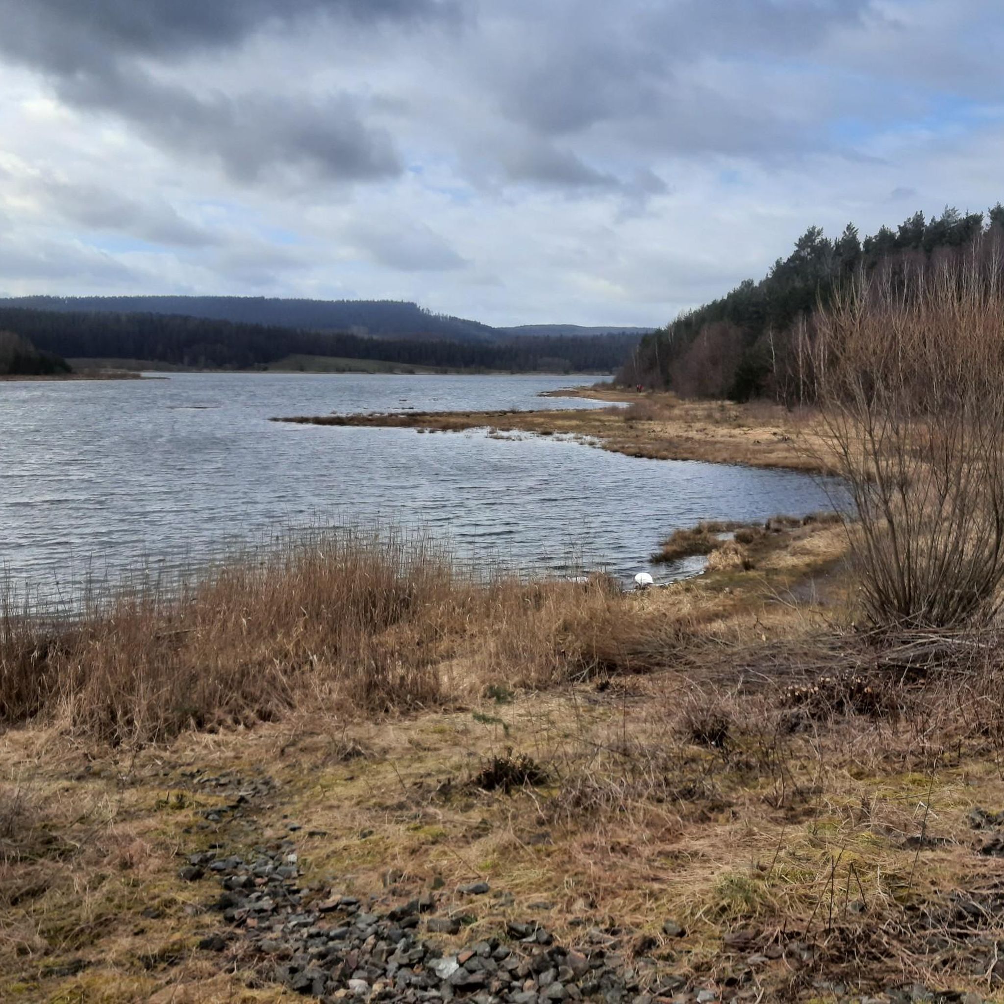
Road cycling routes around Dam Heyda traverse a landscape characterized by a central lake, rolling hills, and river valleys within the Ilm-Kreis region. The area features a network of established cycle paths and roads, often incorporating viaducts and bridges. Elevation gains suggest a mix of gentle gradients and moderate climbs, suitable for various road cycling experiences. Routes frequently connect local towns and offer views of the surrounding countryside.
Best road cycling routes around Dam Heyda
- The most popular road cycling…
Last updated: September 29, 2026
25
riders
18.7km
00:55
280m
280m
Easy road ride. Great for any fitness level. Mostly well-paved surfaces and easy to ride.
4.8
(4)
25
riders
58.8km
02:31
400m
400m
Moderate road ride. Good fitness required. Mostly well-paved surfaces and easy to ride.

5.0
(1)
11
riders
Moderate road ride. Good fitness required. Mostly well-paved surfaces and easy to ride.
5
riders
41.9km
01:55
480m
480m
Moderate road ride. Good fitness required. Mostly well-paved surfaces and easy to ride.
4.7
(10)
95
riders
Moderate road ride. Good fitness required. Some segments of this route may be unpaved and difficult to ride.
Get access to more routes and recommendations from other explorers.
Already have an account?
Our route recommendations are based on thousands of hikes, rides, and runs completed by other people on komoot.
Start today with a free account
Your next adventure awaits.
Tips from the Community

The Goethebrunnen is one of the most striking works of art in the Ilmenau cemetery and uniquely combines memorial culture, Bauhaus design, and the city's Goethe tradition. It was erected in 1932 to mark the 100th anniversary of Johann Wolfgang von Goethe's death. The installation was designed by the Ilmenau artist and Bauhaus student Wilhelm Löber. At its center is a fountain basin with a relief titled "Stirb und werde" (Die and become). This motif picks up on a central idea from Goethe's poetry: the concept of change, transience, and renewal. It is therefore particularly fitting for a cemetery, which is both a place of farewell and remembrance. The fountain was created at a time when Goethe was understood not only as a poet but also as a naturalist, statesman, and close supporter of Ilmenau. During his numerous stays in the city, he was intensively involved with mining and the development of the region. The Goethebrunnen was therefore intended not only to commemorate the famous poet but also to make the special connection between Goethe and Ilmenau visible. In terms of design, the installation clearly stands out from the older gravestones in the cemetery. The clear formal language and reduced design show the influence of the Bauhaus and make the fountain an important testament to the architectural and art history of the early 20th century. Today, the Goethebrunnen is considered one of the most significant monuments in the Ilmenau cemetery. [own records and notes]
1
0

The keystone of the arch bears the year 1747. 😄 👍
0
0

Beautiful, well-preserved and clearly visible church.
0
0

Late Gothic church with a west tower offset to the north. After a fire in 1647, the tower top and dome were rebuilt.
0
0

Impeccable surface, sufficient width for oncoming traffic.
0
0
Very beautiful and well preserved church.
0
0
The Dornheim Church is Bach's wedding venue
0
0
A market square in Stadtilm worth visiting. The milk bar is highly recommended. 😄
3
0
Frequently Asked Questions
How many road cycling routes are available around Dam Heyda?
There are nearly 150 road cycling routes around Dam Heyda, offering a wide range of options for different skill levels and preferences. This includes 14 easy, 82 moderate, and 51 difficult routes.
Are there easy road cycling routes suitable for beginners in Dam Heyda?
Yes, Dam Heyda offers 14 easy road cycling routes. An excellent option for beginners is the Descent to Branchwinda loop from Ilm-Kreis, an 11.6-mile (18.7 km) trail that features pleasant downhill sections and is typically completed in under an hour.
What kind of challenging road cycling routes can I find in the Dam Heyda area?
For more experienced cyclists, there are 51 difficult routes available. The region's rolling hills provide opportunities for moderate climbs and longer distances. Routes like the Ilmenau–Langewiesen Cycle Path – View of the Ilmtal Bridge loop from Unterpörlitz, at 30.9 miles (49.8 km) with significant elevation gain, offer a good challenge.
Are there circular road cycling routes around Dam Heyda?
Yes, many of the routes around Dam Heyda are designed as loops, allowing you to start and end at the same point. For example, the Oberilm Viaduct – Stadtilm City Wall loop from Bücheloh is a moderate 36.6-mile (58.8 km) circular route that combines scenic viaducts with historical town features.
What are the typical lengths of road cycling routes in Dam Heyda?
Route lengths vary significantly. You can find shorter loops like the Descent to Branchwinda loop from Ilm-Kreis at 11.6 miles (18.7 km), to longer, more challenging rides such as the Ilmenau–Langewiesen Cycle Path – ICE Bridge near Langewiesen loop from Ilmenau Pörlitzer Höhe, which spans 33.4 miles (53.7 km).
What attractions can I see along the road cycling routes near Dam Heyda?
The routes often pass by notable attractions. You can cycle past the beautiful Heyda Reservoir and its impressive Dam. Some routes also offer views of local infrastructure like the Ilmtal Bridge or the ICE Bridge near Langewiesen, and historical features such as the Stadtilm City Wall.
Are there viewpoints or scenic spots on the road cycling trails?
Yes, the region's rolling hills and river valleys provide numerous scenic spots. Routes frequently offer views of the surrounding countryside, the central lake, and local infrastructure like viaducts and bridges. The Ilmenau–Langewiesen Cycle Path – View of the Ilmtal Bridge loop from Unterpörlitz, for instance, is known for its picturesque views.
What is the best time of year for road biking around Dam Heyda?
The region is characterized by a network of established cycle paths and roads, making it enjoyable for road cycling through much of the year. Spring and autumn generally offer pleasant temperatures and beautiful scenery, while summer provides longer daylight hours. Always check local weather conditions before heading out.
What do other road cyclists enjoy most about road cycling in Dam Heyda?
The area is highly rated by the komoot community, with an average score of 4.6 stars from over 300 reviews. Cyclists often praise the varied terrain, which includes rolling hills and river valleys, as well as the well-maintained established cycle paths and the scenic views of local infrastructure like viaducts and bridges.
Are there cafes or places to stop for refreshments along the routes?
While specific cafes are not listed for every route, the routes frequently connect local towns and villages. The Riverdam Beer Garden & Steakhouse at the Heyda Reservoir is a notable spot near the reservoir where you can stop for a break and refreshments.
Where can I find parking for road bike trails in Dam Heyda?
Many routes start from towns or villages, which typically offer public parking facilities. For example, routes originating from Ilm-Kreis, Bücheloh, or Unterpörlitz would likely have parking options nearby, often indicated at trailheads or within the town centers.
Most popular routes around Dam Heyda
Most popular attractions around Dam Heyda

Get inspired with the komoot mobile app


Explore more
Browse the best Road cycling routes in other regions.
