The best gravel rides around Tisleifjorden
5.0
(2)
50
riders
8
rides
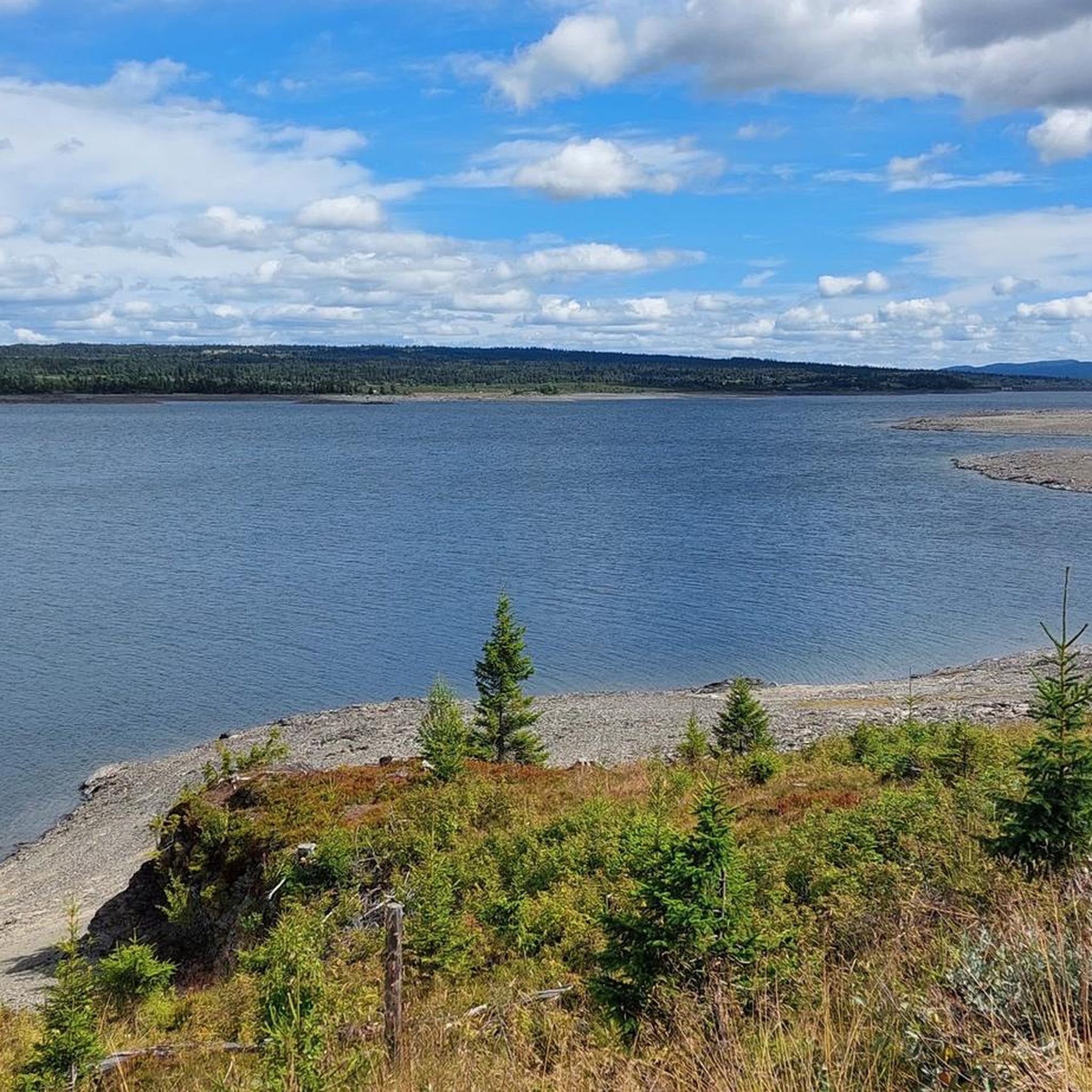
Gravel biking around Tisleifjorden offers routes through a mountainous landscape centered around the Tisleifjorden lake, which sits at an elevation of approximately 819 meters. The terrain features a mix of forested sections, open fells, and varied elevations, with some routes reaching nearly 1000 meters. Riders can expect continuous lakeside views, alongside sections traversing dams and rivers like the Flya. This region provides a diverse natural environment for gravel cycling.
Best gravel bike trails around Tisleifjorden
- The most popular gravel bike…
Last updated: July 16, 2026
18
riders
38.0km
02:51
410m
410m
Moderate gravel ride. Good fitness required. Mostly paved surfaces. Suitable for all skill levels.
5.0
(1)
12
riders
32.4km
02:03
490m
480m
Hard gravel ride. Very good fitness required. Mostly paved surfaces. Suitable for all skill levels.

Sign up for free
5
riders
53.0km
03:17
710m
710m
Hard gravel ride. Very good fitness required. Mostly paved surfaces. Suitable for all skill levels.
1
riders
41.1km
02:50
570m
570m
Hard gravel ride. Very good fitness required. Mostly paved surfaces. Suitable for all skill levels.
5.0
(1)
14
riders
65.8km
03:49
780m
780m
Hard gravel ride. Very good fitness required. Mostly paved surfaces. Suitable for all skill levels.
Get access to more routes and recommendations from other explorers.
Sign up for free
Already have an account?
Our route recommendations are based on thousands of hikes, rides, and runs completed by other people on komoot.
Start today with a free account
Your next adventure awaits.
Login or Signup
Tips from the Community

Super nice rest stop! It was very windy, though. Warm jacket recommended :)
0
0

Due to reconstruction of the dam, it is currently not possible to cycle over - probably through 2026. In the meantime, cyclists will have to use the road.
0
0


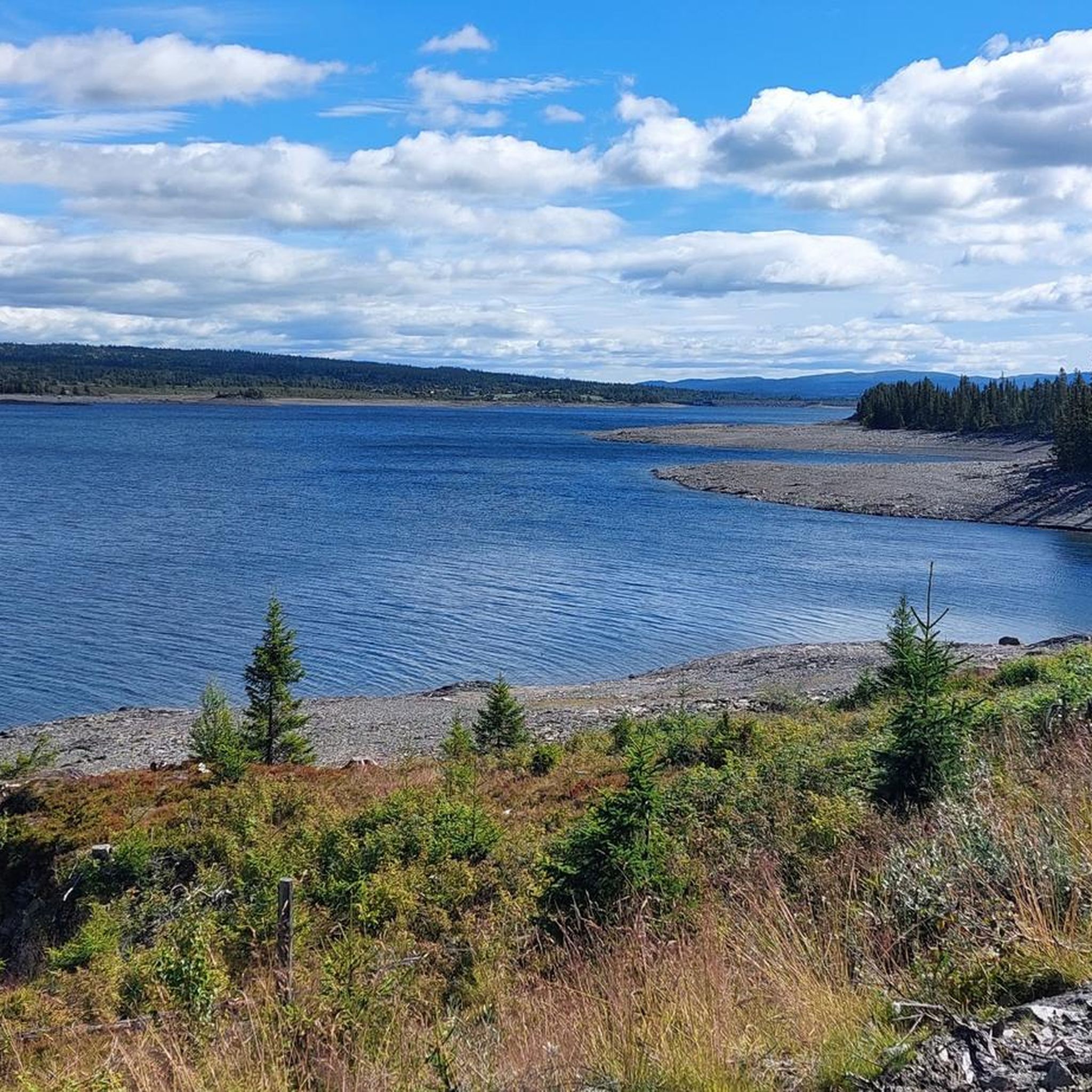
A small wooden bridge on Tisleifjorden lake. It offers a picturesque element in the landscape while offering a nice view over parts of the large Tisleifjorden water system.
0
0

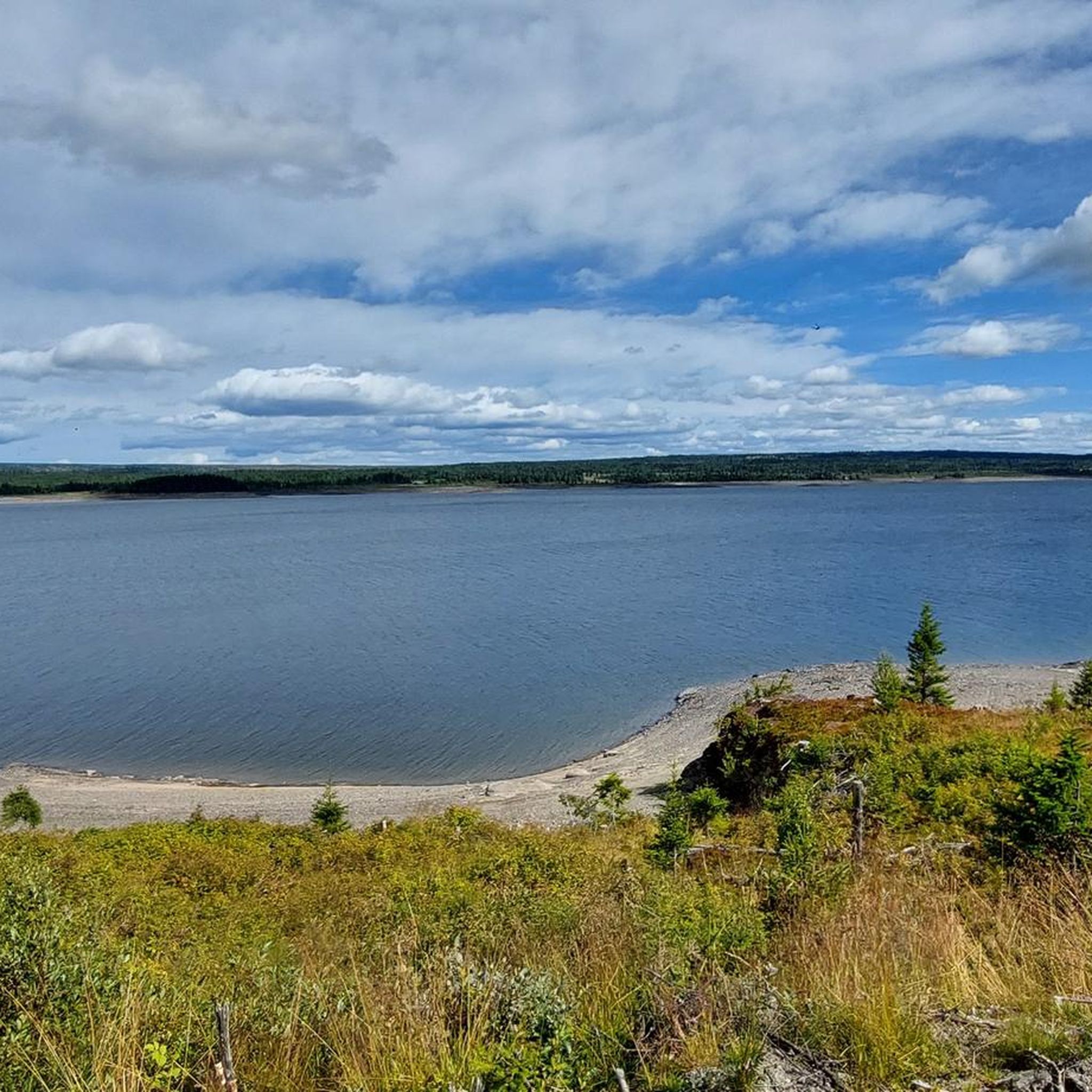
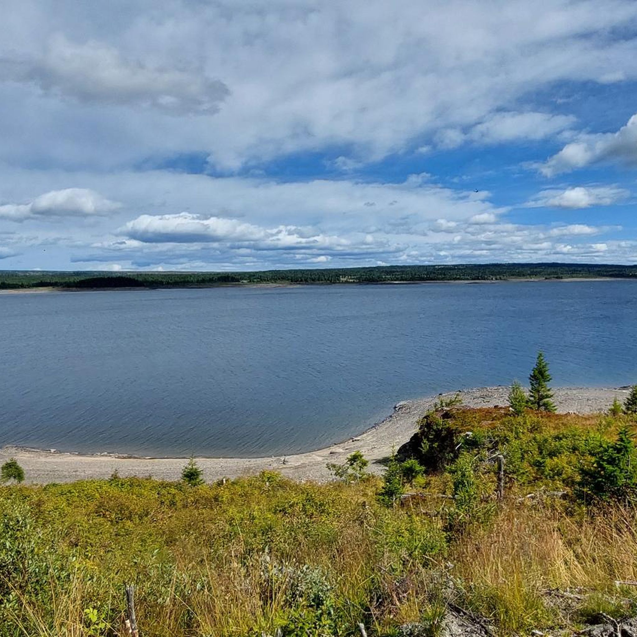
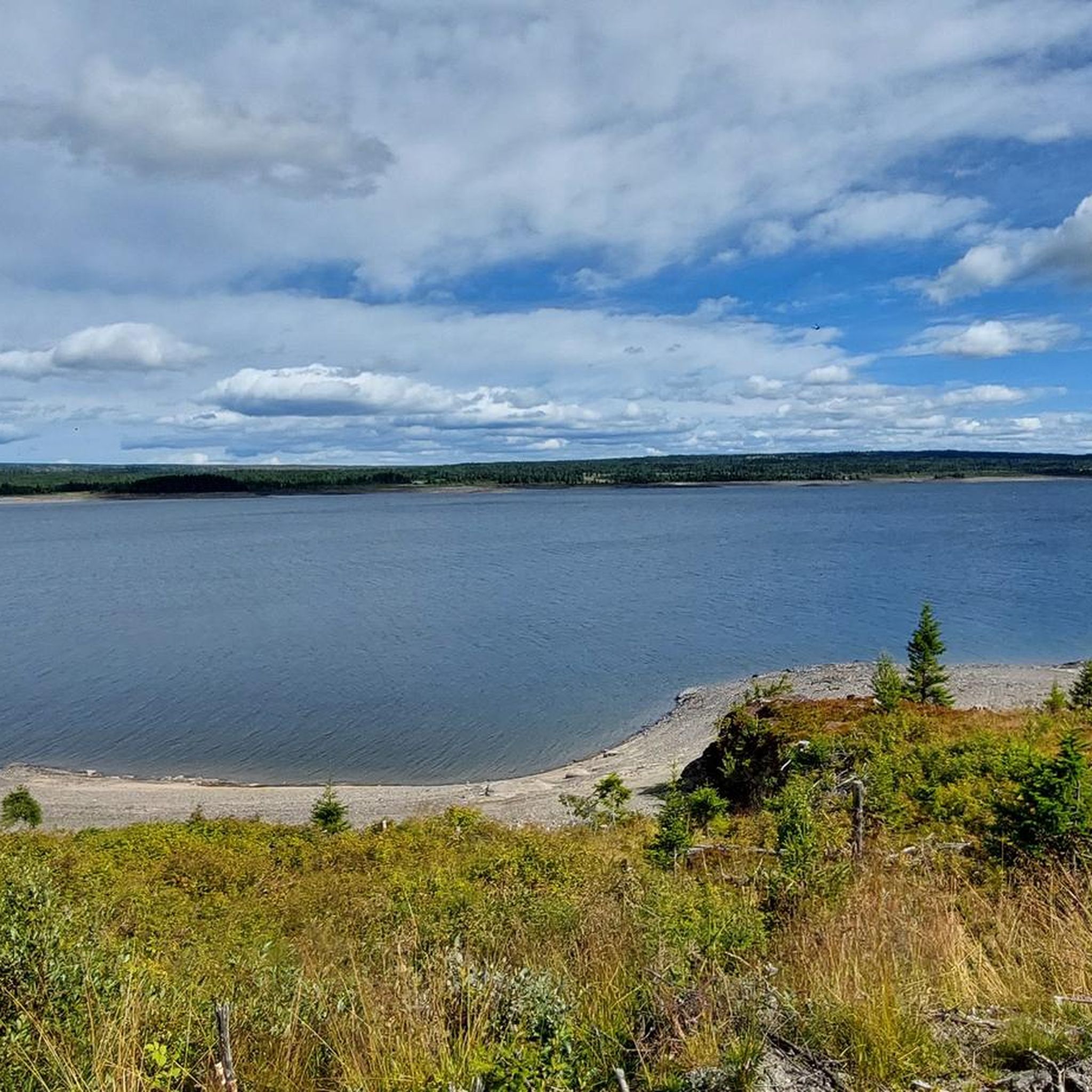
Nice surprise along the trail: Tisleifjord stretches out below with a real sense of space.
0
0
Frequently Asked Questions
What kind of terrain can I expect on gravel bike trails around Tisleifjorden?
The Tisleifjorden area offers a diverse mix of terrain. You'll find forested sections, open fells, and varied elevations, with some routes climbing from the lake's 819-meter elevation to nearly 1000 meters. Expect continuous lakeside views, alongside sections traversing dams and rivers like the Flya.
Are there any easy or family-friendly gravel biking options in Tisleifjorden?
Yes, the region is known for its accessible routes. A notable option is the 37-kilometer 'Round trip of Tisleifjorden', which is described as easy and family-friendly, offering a varied experience with some gentle uphill climbs. While komoot lists all routes as moderate to difficult, this regional information suggests there are easier paths available.
How many gravel bike trails are available in the Tisleifjorden area?
There are over 5 gravel bike trails documented on komoot for the Tisleifjorden area, ranging from moderate to difficult. These routes offer varied distances and elevation profiles to suit different preferences.
What are some popular moderate gravel bike routes around Tisleifjorden?
A popular moderate route is Explore Osevegen and Tisleifjorden — Innlandet, which is about 38 kilometers long and takes around 2 hours 51 minutes. Another favorite is the Oset Fjellhotell and Bistro – Oset Mountain Church loop from Kamben, a 30.8 km path offering scenic views.
Are there any challenging gravel bike trails for experienced riders?
Yes, for those seeking a challenge, Tisleifjorden offers several difficult routes. The Syndinstøga – Mjølkerampe Vaset loop from Nøsen Yoga og Fjellhotell is a 53-kilometer trail through varied mountain terrain, typically completed in about 4 hours. Another difficult option is the The Orange Tree – Oset Mountain Church loop from Gol Airport, Klanten, which is 41.1 km long.
What is the best season for gravel biking in Tisleifjorden?
The Golsfjellet area, where Tisleifjorden is located, is known for its 'fresh mountain air, lots of sun, and beautiful views,' suggesting that late spring, summer, and early autumn would be ideal for gravel biking, offering pleasant weather and clear trails.
What kind of views can I expect while gravel biking around Tisleifjorden?
Riders can expect continuous lakeside views of Tisleifjorden itself, along with panoramic vistas of the surrounding fells and peaks. The routes traverse both forested sections and open landscapes, providing a dynamic visual experience of the mountainous Norwegian scenery.
Are there any loop routes for gravel biking in the area?
Yes, many of the routes around Tisleifjorden are designed as loops. For example, the Oset Fjellhotell and Bistro – Oset Mountain Church loop from Kamben and the Syndinstøga – Mjølkerampe Vaset loop from Nøsen Yoga og Fjellhotell are popular circular options, allowing you to start and end at the same point.
What do other gravel bikers say about the trails in Tisleifjorden?
The gravel biking routes in Tisleifjorden are highly rated by the komoot community, with an average score of 5.0 stars. Reviewers often praise the varied terrain, the stunning mountainous scenery, and the continuous lakeside views.
Are there any specific natural features or landmarks along the gravel routes?
The routes often feature the Tisleifjorden lake itself, which is a central natural feature. You can expect to cross dams and ride alongside rivers like the Flya. The broader Golsfjellet region is characterized by its beautiful hiking and biking terrain, offering diverse natural environments.
What is the longest gravel bike trail available in Tisleifjorden?
The longest gravel bike trail listed is the Gomobu Mountain Lodge – River rapids at Flya loop from Hynda, which spans approximately 65.8 kilometers and is classified as difficult, taking around 4 hours and 44 minutes to complete.
Most popular routes around Tisleifjorden

Get inspired with the komoot mobile app


Explore more
Browse the best Gravel rides in other regions.
