The best walks and hikes around Tisleifjorden
4.4
(82)
538
hikers
34
hikes
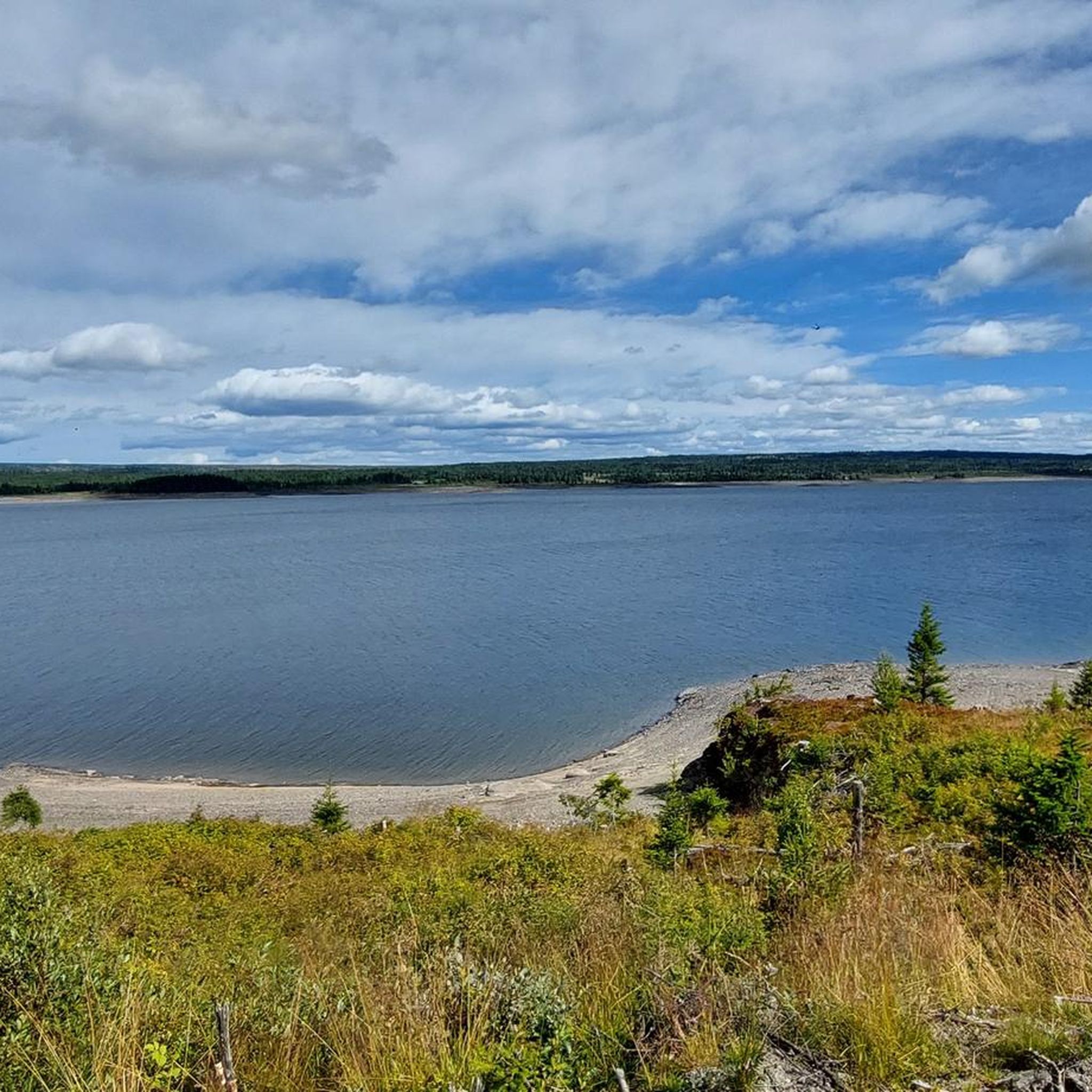
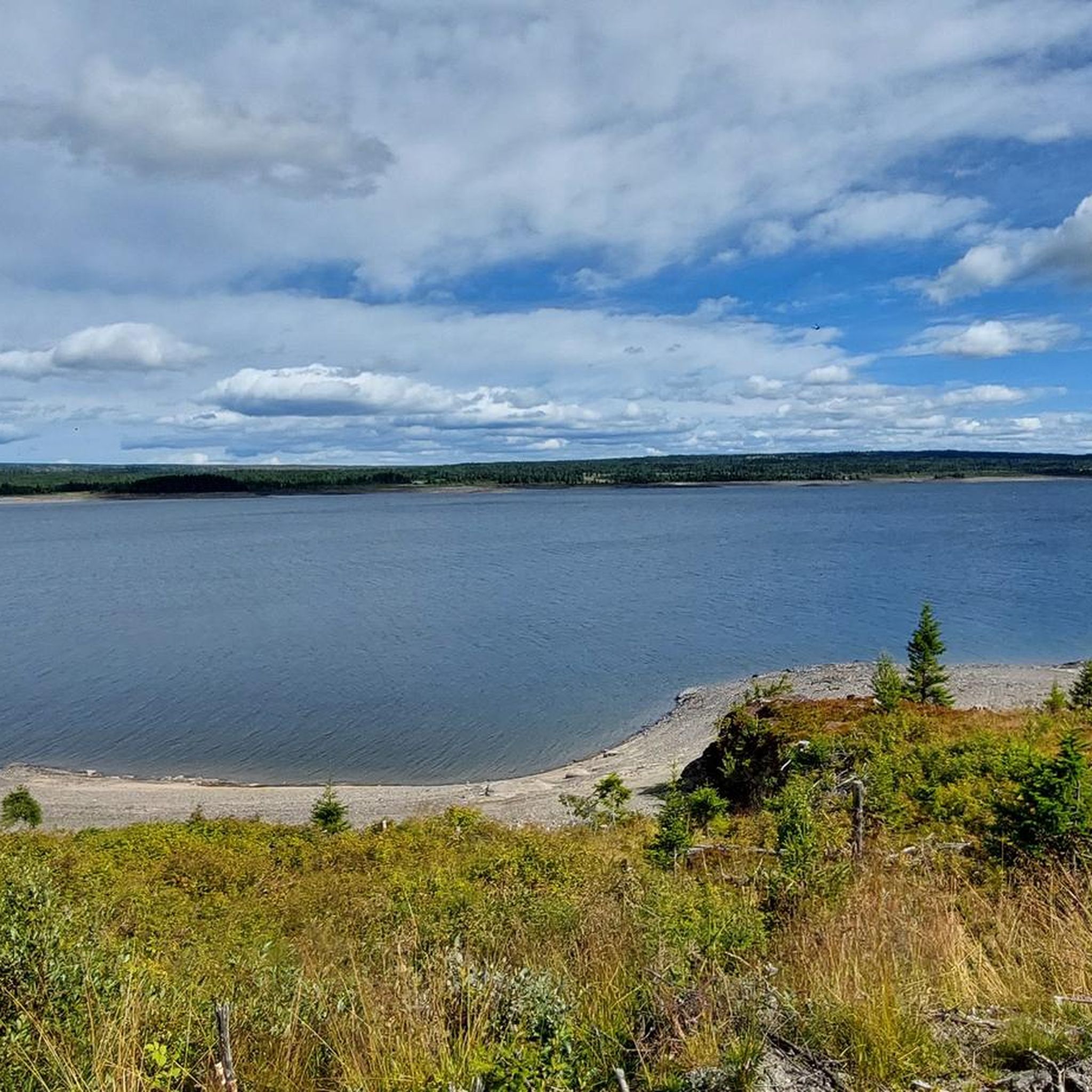
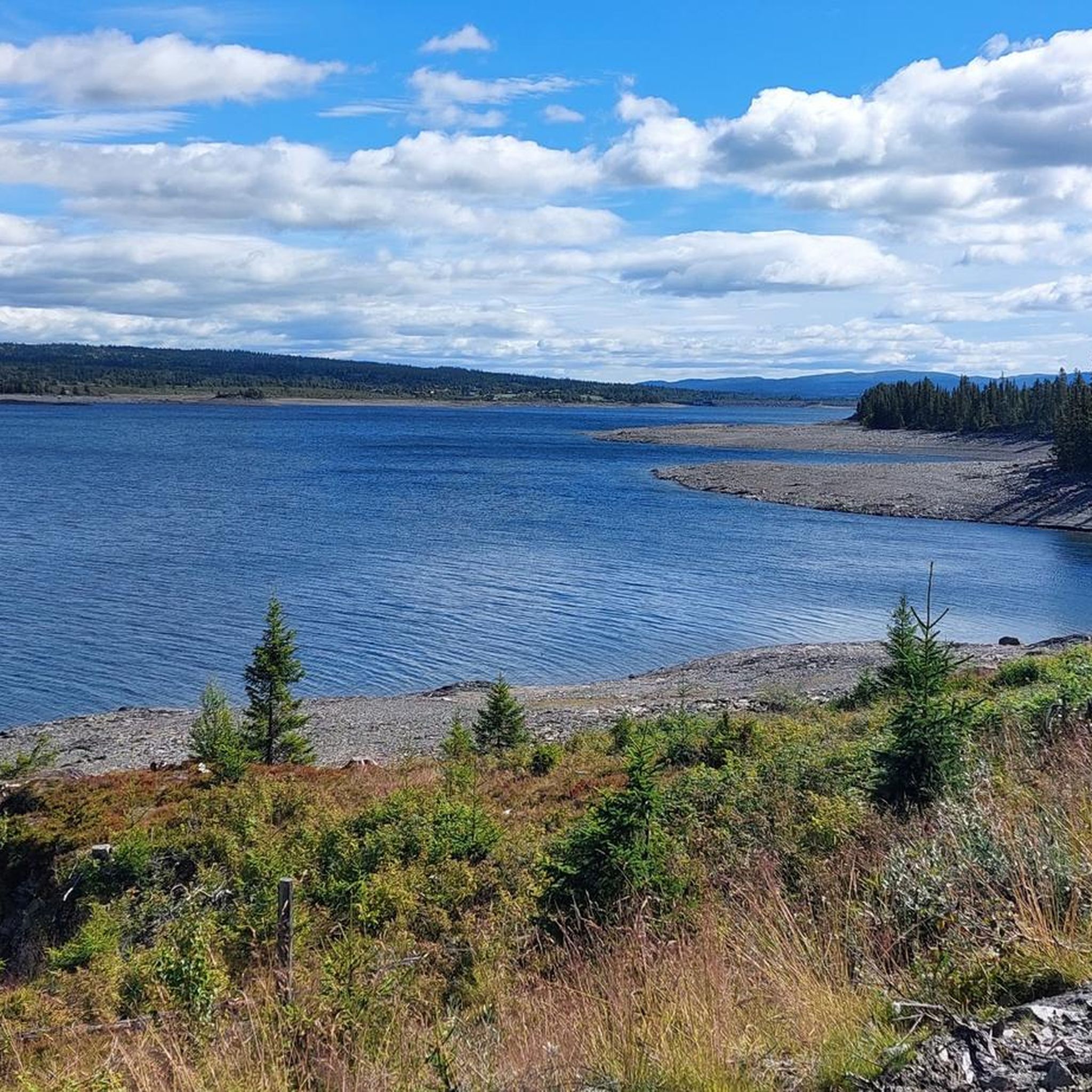
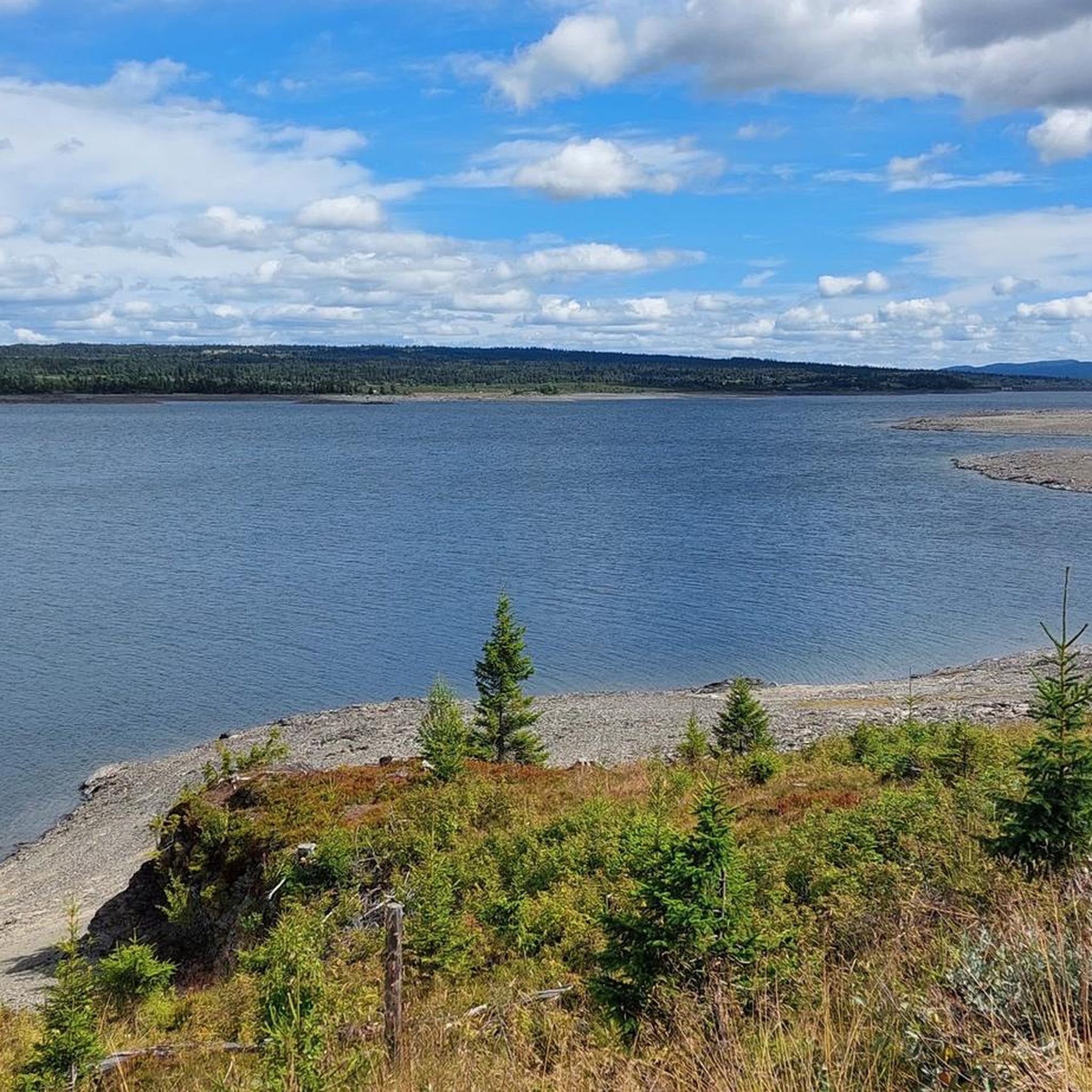
Hiking around Tisleifjorden, located at approximately 819 meters (2,687 feet) above sea level, offers a diverse range of experiences. The region is characterized by its crystal-clear lake, majestic mountains, lush forests, and rolling hills. The landscape provides a backdrop for trails that vary from lakeside paths to routes ascending notable peaks. This area features a network of hiking trails suitable for various skill levels.
Best hiking trails around Tisleifjorden
- The most popular hiking route is Tisleifjord Dam loop from Skutuset…
Last updated: July 10, 2026
5
hikers
3.94km
01:02
30m
30m
Easy hike. Great for any fitness level. Easily-accessible paths. Suitable for all skill levels.
5.0
(2)
4
hikers
9.87km
02:47
220m
220m
Moderate hike. Good fitness required. Easily-accessible paths. Suitable for all skill levels.

Sign up for free
4.9
(7)
20
hikers
Hard hike. Very good fitness required. Easily-accessible paths. Suitable for all skill levels.
5.0
(1)
10
hikers
5.94km
01:43
150m
150m
Easy hike. Great for any fitness level. Easily-accessible paths. Suitable for all skill levels.
4.0
(3)
7
hikers
7.33km
02:17
210m
210m
Moderate hike. Good fitness required. Mostly accessible paths. Sure-footedness required.
Get access to more routes and recommendations from other explorers.
Sign up for free
Already have an account?
Our route recommendations are based on thousands of hikes, rides, and runs completed by other people on komoot.
Start today with a free account
Your next adventure awaits.
Login or Signup

Tips from the Community


Kamben Høyfjellshotell is a Mjølkevegen Partner on the Golsfjellet mountain plateau. Dine and sleep well and enjoy the great service!
0
0
Oset Fjellhotell is Mjølkevegen Partner. The hotell offers accommodation and meals, an outdoor sauna at the pond and an indoor swimming pool. Passing cyclists can enjoy a bite to eat or a beverage at the Fjellbistro.
0
0


So quiet there and you can shelter yourself when it rains ;-)
0
0

Frequently Asked Questions
How many hiking trails are available around Tisleifjorden?
There are over 35 hiking routes around Tisleifjorden, offering a diverse range of experiences. These include 12 easy, 21 moderate, and 2 difficult trails, catering to various skill levels.
What kind of terrain can I expect on hikes in Tisleifjorden?
The terrain around Tisleifjorden is varied, featuring crystal-clear lake waters, majestic mountains, lush forests, and rolling hills. You can find everything from gentle lakeside paths to more challenging ascents on rocky terrain, such as those leading to peaks like Gurisethøvda or Auenhaugen.
Are there any easy hiking trails suitable for beginners in Tisleifjorden?
Yes, Tisleifjorden offers 12 easy hiking routes perfect for beginners or those seeking a relaxed stroll. An example is the Tisleifjord Dam loop from Skutuset, which is a 3.7 km trail offering views of the dam.
Are there any challenging hikes for experienced hikers in Tisleifjorden?
For experienced hikers, there are 2 difficult routes available. One such challenging option is the Grill Hut in the Mountains – Breilii loop from Golsfjellet alpinsenter Bualie, a 20.6 km trail through mountain terrain with significant elevation gain.
What do other hikers say about the trails in Tisleifjorden?
The hiking routes in Tisleifjorden are highly rated by the komoot community, with an average score of 4.4 stars from over 90 reviews. Hikers often praise the varied terrain, from serene lake views to rewarding mountain vistas, and the well-maintained paths.
Are there any circular walks in Tisleifjorden?
Many of the trails around Tisleifjorden are designed as circular routes, allowing you to start and end at the same point. Examples include the Tisleifjord Dam loop from Skutuset and the Shelter with Fire Pit loop from Oset Høyfjellshotell.
What are some notable viewpoints or natural features to see while hiking?
Tisleifjorden is known for its panoramic views. You can find excellent vistas from peaks like Gurisethøvda (1050m) and Auenhaugen, which is one of the highest peaks on Golsfjellet. The Blommeslettane area also offers great views over the Lykkja area, Skogshorn, and Golsfjellet.
Are there any trails that lead to shelters or rest areas?
Yes, some trails lead to designated rest areas. For instance, the Shelter with Fire Pit loop from Oset Høyfjellshotell is a moderate route that takes you to a shelter equipped with a fire pit, perfect for a break.
What is the best time of year to go hiking in Tisleifjorden?
The best time for hiking in Tisleifjorden is typically during the warmer months, from late spring to early autumn, when the trails are clear of snow and the weather is mild. This allows for full enjoyment of the lush landscapes and clear waters.
Are there any specific attractions or landmarks near the hiking trails?
Beyond the natural beauty, the region offers several points of interest. The Tisleifjorden dam is a notable feature visible on some trails. For winter visitors, the frozen lake is known for ice driving activities, which you can learn more about at Visit Norway.
Can I find trails that offer views of the lake?
Absolutely. Many trails provide stunning views of Tisleifjorden's crystal-clear waters. The 'Lakeview Trail' (as described in regional research) is a popular choice that specifically winds around the pristine lakeshores, offering continuous scenic vistas.
What is the elevation of Tisleifjorden itself?
Tisleifjorden is situated at an elevation of approximately 819 meters (2,687 feet) above sea level, contributing to the fresh mountain air and scenic high-altitude views found throughout the region.
Most popular routes around Tisleifjorden

Get inspired with the komoot mobile app


Explore more
Browse the best Hikes in other regions.
