The best gravel rides around Gams
4.6
(40)
461
riders
35
rides
Gravel biking around Gams Switzerland features a diverse landscape, characterized by its proximity to the Rhine River valley and the alpine foothills. The region includes varied terrain, from lower-lying river plains to more challenging mountain passes and hills with significant elevation changes. Gravel routes often traverse forested areas, open meadows, and offer views of the surrounding Alpstein massif and Churfirsten mountain range.
Best gravel bike trails around Gams
- The most popular gravel bike trail is Lake Walen – Lake Walen…
Last updated: August 26, 2026
4.7
(6)
75
riders
108km
06:50
1,790m
1,790m
Hard gravel ride. Very good fitness required. Mostly paved surfaces. Suitable for all skill levels.
5.0
(4)
33
riders
43.6km
03:25
1,190m
1,190m
Hard gravel ride. Very good fitness required. Mostly paved surfaces. Suitable for all skill levels.

Sign up for free
5.0
(2)
22
riders
23.2km
01:59
860m
860m
Hard gravel ride. Very good fitness required. Mostly paved surfaces. Suitable for all skill levels.
4.4
(5)
73
riders
31.0km
01:28
70m
70m
Easy gravel ride. Great for any fitness level. Mostly paved surfaces. Suitable for all skill levels.
4.0
(1)
16
riders
24.3km
01:58
750m
750m
Hard gravel ride. Very good fitness required. Mostly paved surfaces. Suitable for all skill levels.
Get access to more routes and recommendations from other explorers.
Sign up for free
Already have an account?
Our route recommendations are based on thousands of hikes, rides, and runs completed by other people on komoot.
Start today with a free account
Your next adventure awaits.
Login or Signup

Tips from the Community

Chilled drinks and cheese with self-service
0
0

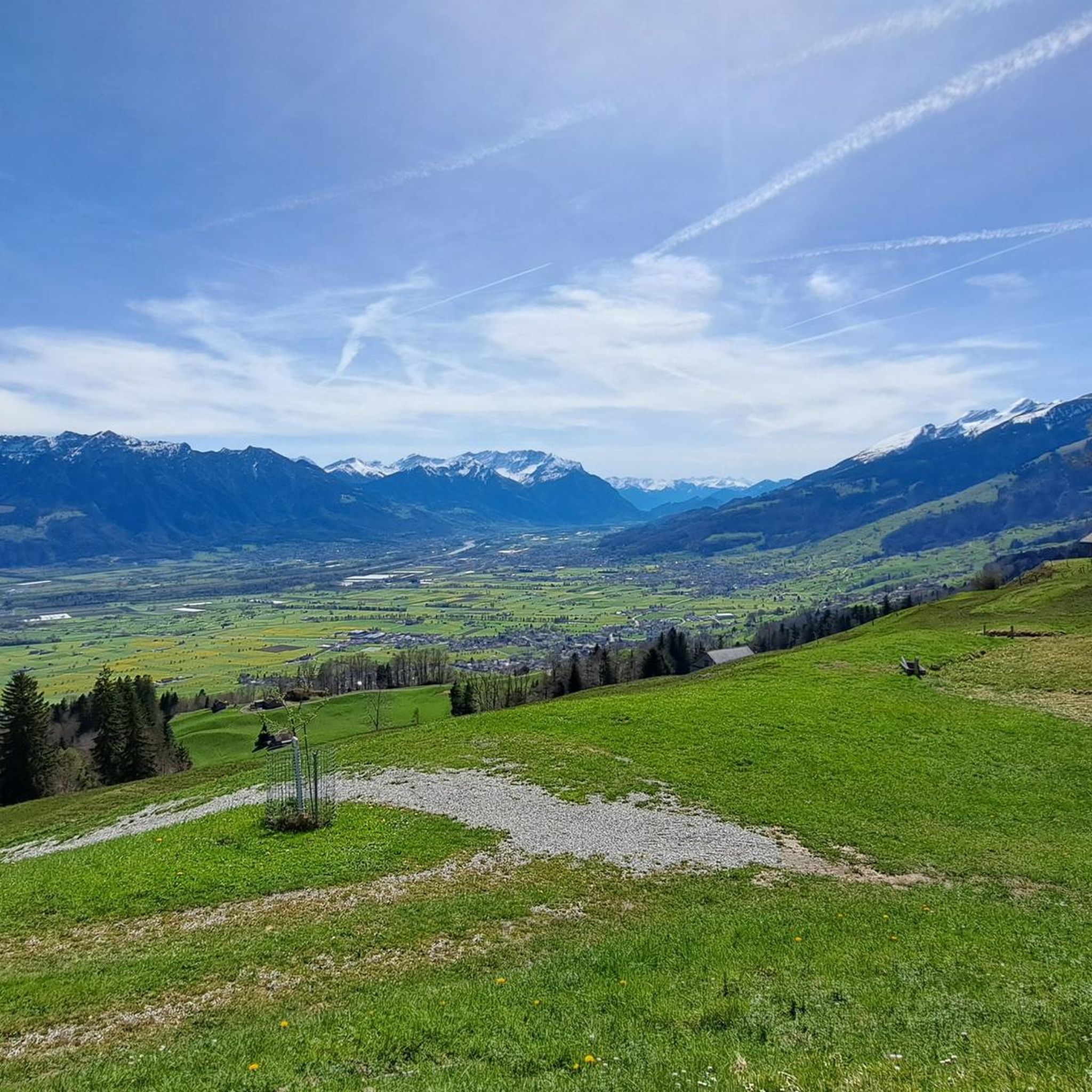
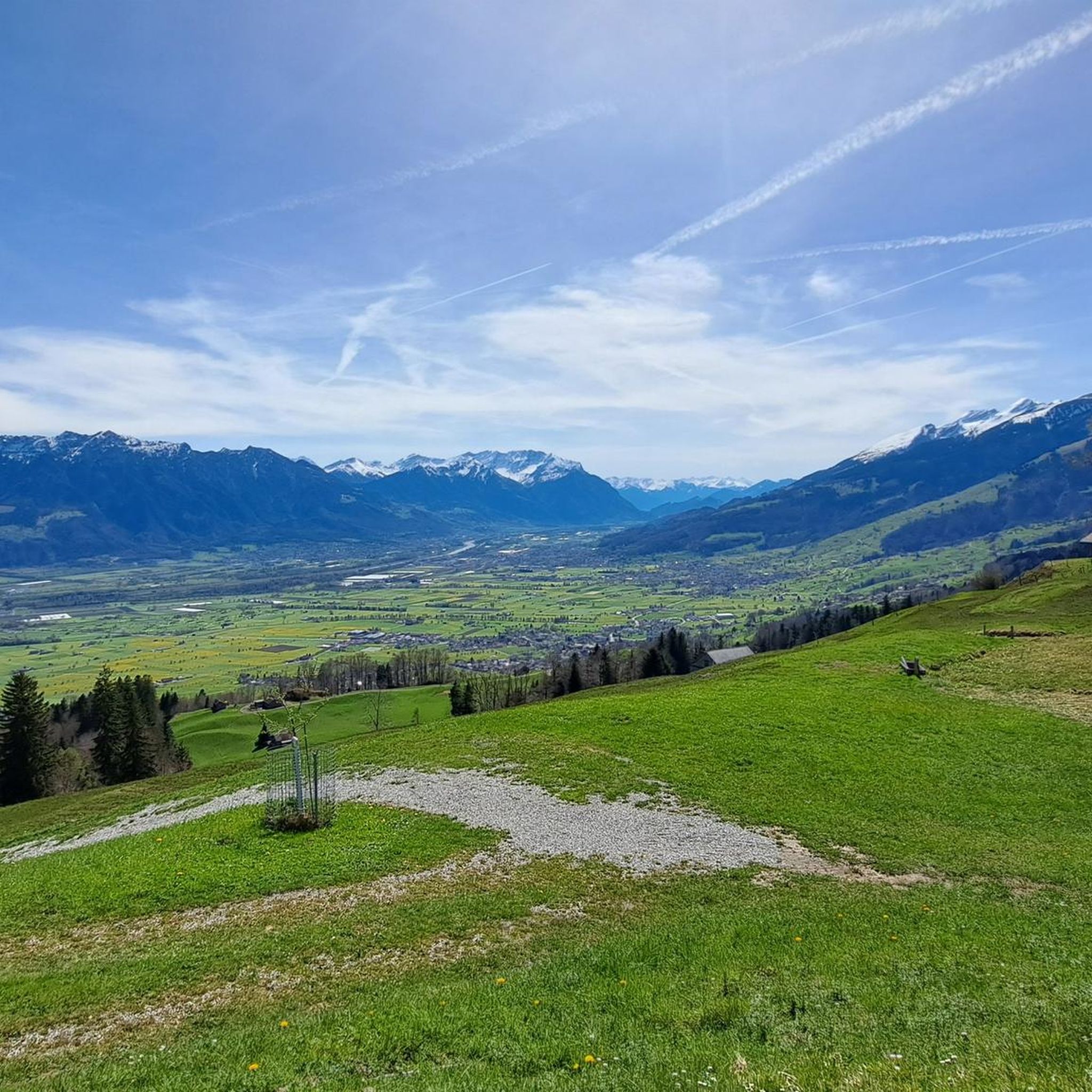
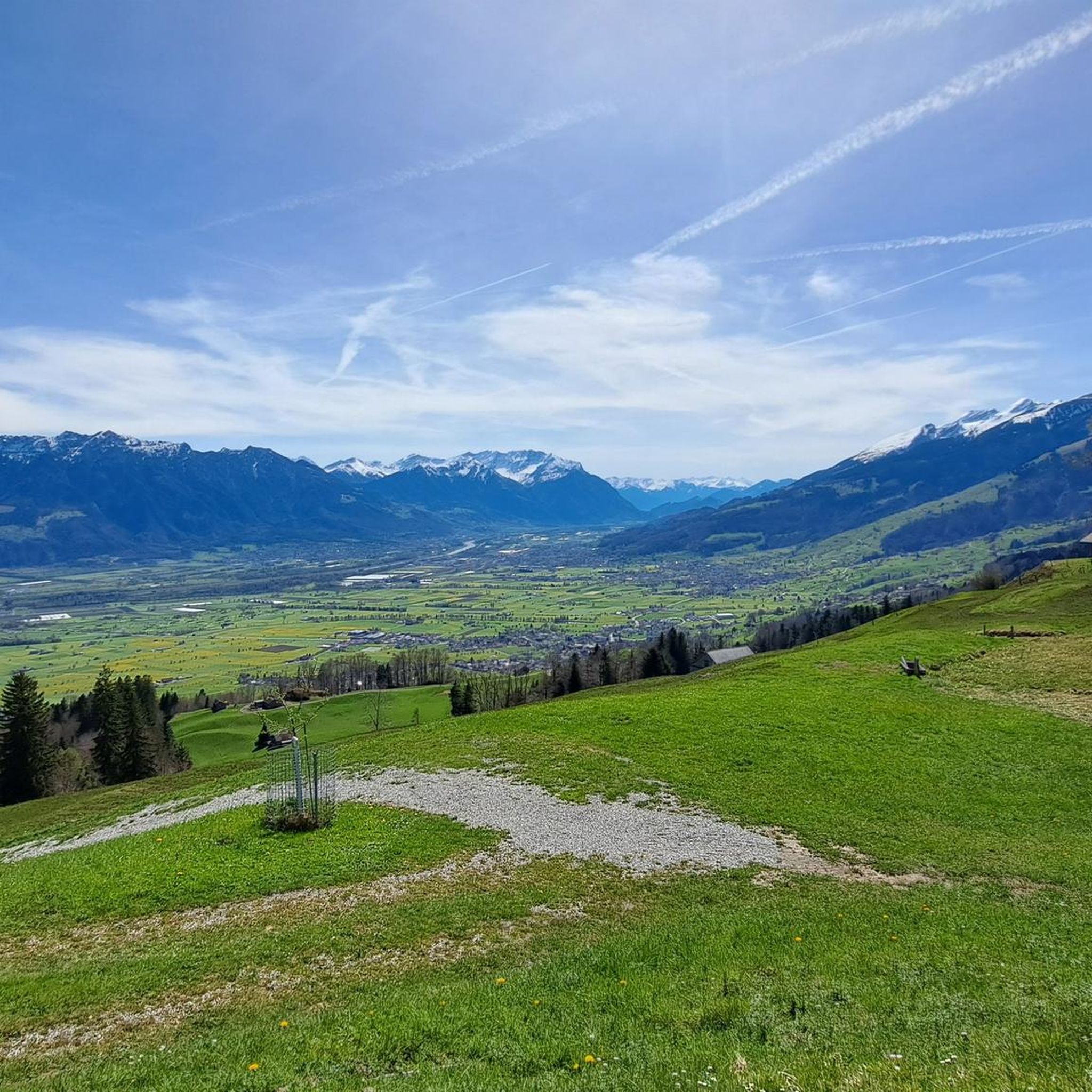
The pass height is located in a high moor landscape of national importance and offers panoramic views from the Säntis in the north to the Tödi in the south, with the Mürtschenstock being particularly striking. From Vorder Höhi, the Churfirsten can be well overlooked, and the surroundings are particularly scenic for nature and photo lovers.
1
0

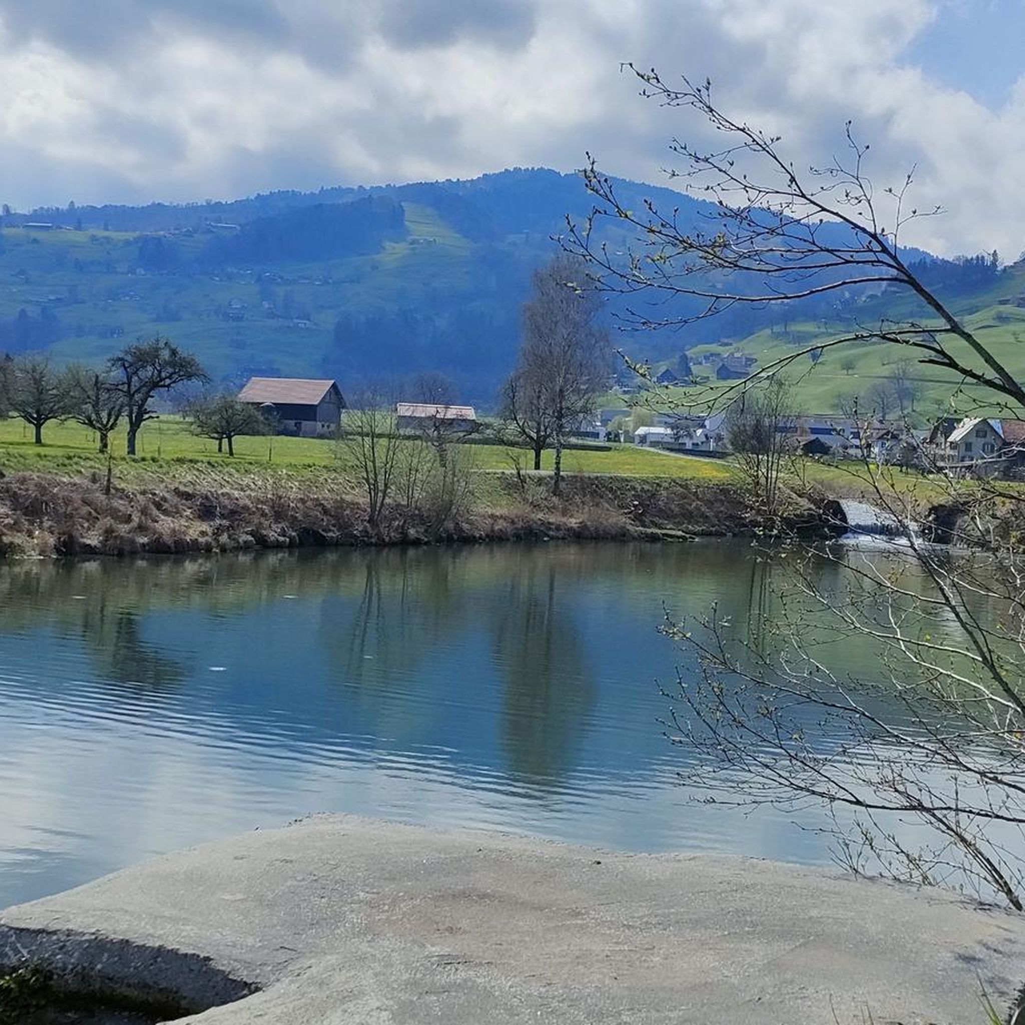
Well-maintained cycle path along the southern shore of the lake, not always full width for e.g. crossing bikes with trailers. The path was relatively well visible at night too (with bike light, of course), and in many sections also illuminated. Unpaved sections between the ascents Geisterraststätte and Mühlehorn, as well as at the Linth estuary. Otherwise very impressive with the surrounding mountains.
0
0

Past the Ellhorn mountain.
1
0

Right next to the motorway, therefore a lot of noise and microparticles. In headwinds, you are also very exposed on the dam. Ideal for muscle-bound people
0
0

Gondola lift Gamplüt with wind and solar power The Gamplüt gondola lift runs on solar power. The hot water used in the Gamplüt mountain restaurant comes from the solar collectors and the hot air fireplace in the large hall. When the sun isn't shining, the wind blows. That's why a wind turbine also produces electricity. It goes without saying for us to invest in sustainable energy; the place and nature are close to our hearts. World's first wind and solar cable car in Toggenburg The world's only fully solar-powered gondola lift (as of 2012) is located in Obertoggenburg. It connects Wildhaus with the Gamplüt alpine pasture. The maximum speed of the lift is 19.8 km/h. The photovoltaic systems on the roof of the mountain restaurant and the machine hall supply roughly the same amount of electricity as the lift consumes. Text / Source: Gondola lift Gamplüt https://www.xn--gamplt-7ya.ch/gondelbahn/die-gondelbahn-gampluet-faehrt-mit-solarstrom/
11
0
Bergrestaurant Gamplüt / Gondola lift Welcome to the sunny mountain restaurant Gamplüt, at 1357 m.a.s.l. above Wildhaus, in Obertoggenburg. Our hall for up to 100 people is the ideal place for your Sunday brunch, a birthday party, a wedding or whatever you wish. You can reach the Gamplüt mountain restaurant with our solar-powered gondola lift or on foot. We are here for our guests every day of the year and have a lot to offer for young and old alike. For special occasions, we also serve raclette, fondue or a themed buffet for up to 250 people in front of the open fire, upon prior reservation. Text / Source: Gondola lift and mountain restaurant, Schönenbodenstrasse, Wildhaus https://www.xn--gamplt-7ya.ch/bergrestaurant-gampluet/
11
0

Great tour, great views, highly recommended.
0
0
Frequently Asked Questions
What is the overall difficulty level of gravel biking trails in Gams?
Gams offers a diverse range of gravel biking trails. While there are 5 easy routes, the majority are moderate (22 routes) or difficult (28 routes), featuring significant elevation changes, especially in the mountain pass areas. This means there are plenty of options for experienced riders seeking a challenge.
Are there any family-friendly gravel bike routes in the Gams region?
Yes, while many routes involve significant climbs, the region also offers easier, flatter sections, particularly along the Rhine River valley. These paths are generally more suitable for families or those looking for a less strenuous ride. Look for routes with minimal elevation gain.
Are there any loop gravel bike trails around Gams?
Many of the gravel bike trails in Gams are designed as loops, allowing you to start and finish at the same point. For example, the challenging Ölberg Pass – Wildhaus Pass loop from Buchs SG offers a scenic circular ride through mountain passes and forests.
What kind of scenery can I expect on gravel bike routes in Gams?
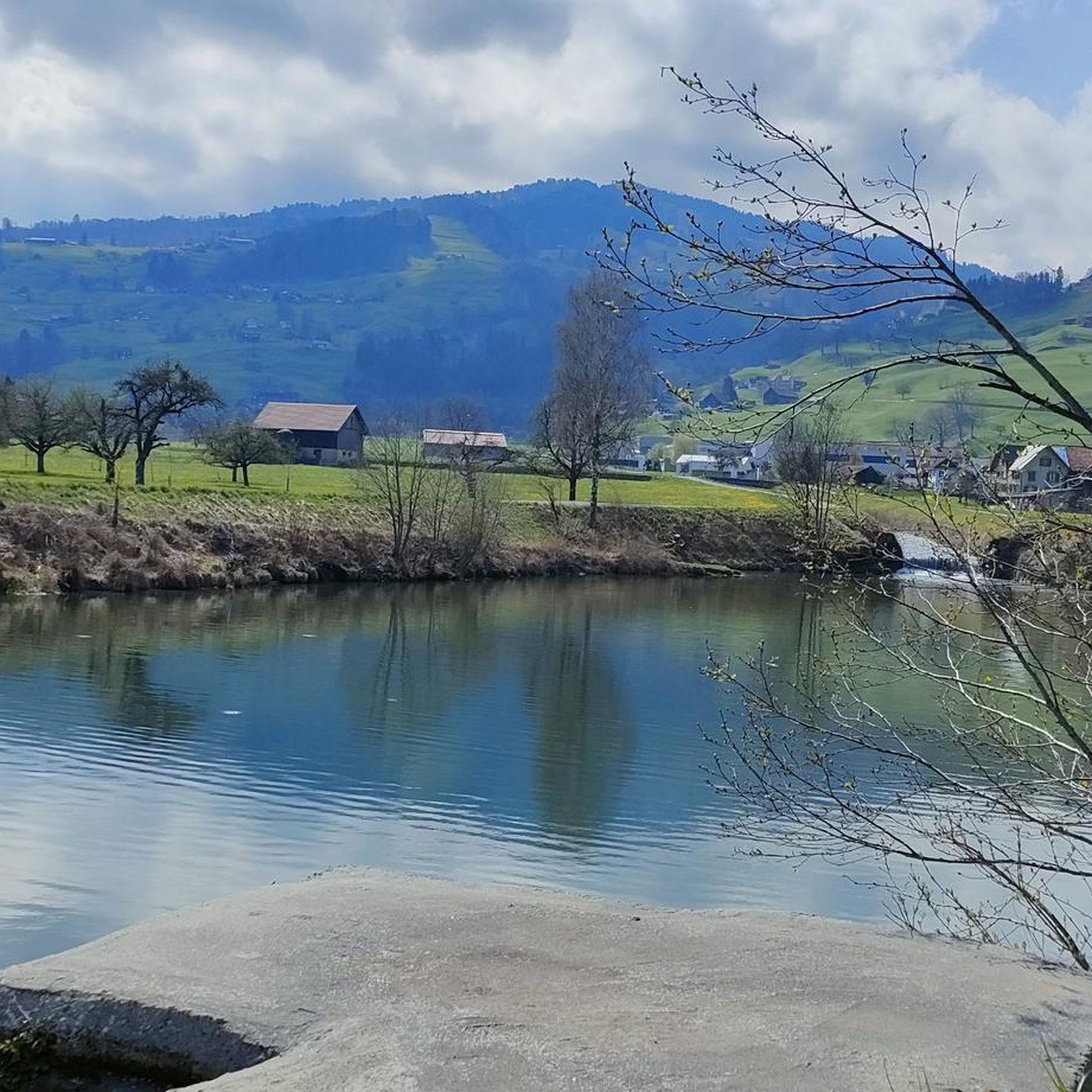
The Gams region boasts varied terrain, from the tranquil shores of Lake Walen and the open Rhine River valley to dense forested areas and alpine foothills. You'll encounter a mix of lakeside paths, riverside trails, and challenging mountain passes with panoramic views.
What are some interesting landmarks or attractions I can see near the gravel bike trails?
The region around Gams is rich in history and natural beauty. You can explore several castles, such as Vaduz Castle or Werdenberg — Old Town, Castle and Lake. For nature lovers, there are impressive gorges and waterfalls, including the Thur Waterfalls or the Ofenloch Gorge.
Where can I find parking for gravel biking trails in Gams?
Parking is generally available in the towns and villages that serve as starting points for many routes, such as Buchs SG or Salez-Sennwald. Specific parking information is often detailed on individual route pages on komoot, so it's best to check the tour details before you go.
Can I access gravel bike trails in Gams using public transport?
Many starting points for gravel bike routes in the Gams region are accessible via public transport, particularly train stations in towns like Buchs SG. This allows for convenient travel to and from the trails, especially for longer point-to-point rides or if you prefer not to drive.
What is a good gravel bike route for someone looking for a moderate challenge?
For a moderate challenge with scenic river views, consider the Old Rhine Bridge at Vaduz – Old Rhine Bridge, Vaduz–Sevelen loop from Buchs SG. This 41.4-mile (66.7 km) route follows the Rhine River, offering a mix of riverside paths and open valley views without extreme elevation.
What do other gravel bikers say about the trails in Gams?
The gravel biking routes in Gams are highly regarded by the komoot community, holding an average rating of 4.8 stars from over 50 reviews. Riders frequently praise the diverse landscapes, from challenging mountain passes to serene lakeside paths, and the well-maintained nature of the trails.
Are there any particularly long or challenging gravel bike routes in the area?
Yes, for those seeking a significant challenge, the Shore of Walensee – Lake Walen loop from Buchs SG is a demanding option. This difficult route spans over 75 miles (120 km) and features substantial elevation gain, offering an extensive exploration of the Lake Walen area.
What is the best time of year for gravel biking in Gams?
The best time for gravel biking in Gams is typically from spring through autumn (April to October). During these months, the weather is generally mild, and trails are clear of snow, providing optimal conditions for exploring both the valley and mountain pass routes. Always check local weather forecasts before heading out.
Are there any cafes or places to stop for refreshments along the gravel routes?
Many routes pass through or near villages and towns where you can find cafes, restaurants, or small shops to refuel. For example, routes around Lake Walen or through the Rhine Valley often have opportunities for refreshment stops. It's always a good idea to check the map for specific points of interest along your chosen route.
Most popular attractions around Gams

Get inspired with the komoot mobile app


