The best gravel rides around Zwieselberg
4.7
(56)
425
riders
31
rides
Gravel biking around Zwieselberg offers diverse landscapes, characterized by extensive forest paths and varied terrain within the Bavarian Forest. The region features a mix of paved and unpaved sections, providing versatile riding experiences. Riders can expect elevation changes, ranging from gentle climbs to significant ascents, suitable for gravel bikes. The area's natural features include dense woodlands and the presence of rivers and lakes, creating a dynamic environment for outdoor activities.
Best gravel bike trails around Zwieselberg
- The most popular gravel…
Last updated: July 2, 2026
5.0
(1)
27
riders
67.4km
06:44
1,610m
1,610m
Hard gravel ride. Very good fitness required. You may need to push your bike for some segments of this route.
4.4
(9)
44
riders
28.3km
01:53
150m
150m
Moderate gravel ride. Good fitness required. Mostly paved surfaces. Suitable for all skill levels.

Sign up for free
5.0
(2)
23
riders
30.4km
02:48
810m
810m
Hard gravel ride. Very good fitness required. Mostly paved surfaces. Suitable for all skill levels.
5.0
(2)
11
riders
88.0km
07:44
2,300m
2,300m
Hard gravel ride. Very good fitness required. You may need to push your bike for some segments of this route.
4.5
(8)
61
riders
66.0km
04:43
1,530m
1,530m
Hard gravel ride. Very good fitness required. Mostly paved surfaces. Suitable for all skill levels.
Get access to more routes and recommendations from other explorers.
Sign up for free
Already have an account?
Our route recommendations are based on thousands of hikes, rides, and runs completed by other people on komoot.
Start today with a free account
Your next adventure awaits.
Login or Signup

Tips from the Community

Very nice people and delicious sausage. Highly recommended cake.
0
0

The small village of Habkern lies seven kilometers from Interlaken in the direction of Lombachalp. Many stately wooden farmhouses stand around the village fountain, which is guarded by a hawk. Especially in spring and summer, when the red geraniums bloom in front of the windows, this creates a unique sight.
1
0

The crossing into the Diemtigtal valley can also be made by car (fee required).
0
0

Wonderful with a playground, free swimming pool and snack bar.
0
0

An architectural highlight! This bridge over the Simme River impresses with its enormous span and elegant wooden structure. It symbolizes innovation in harmony with nature. A must-see!
0
0

In the Morgenberg gypsum quarry in Krattigen, sulphate rock (gypsum and anhydrite) is mined.
0
0

Beautiful suspension bridge for pedestrians
3
1

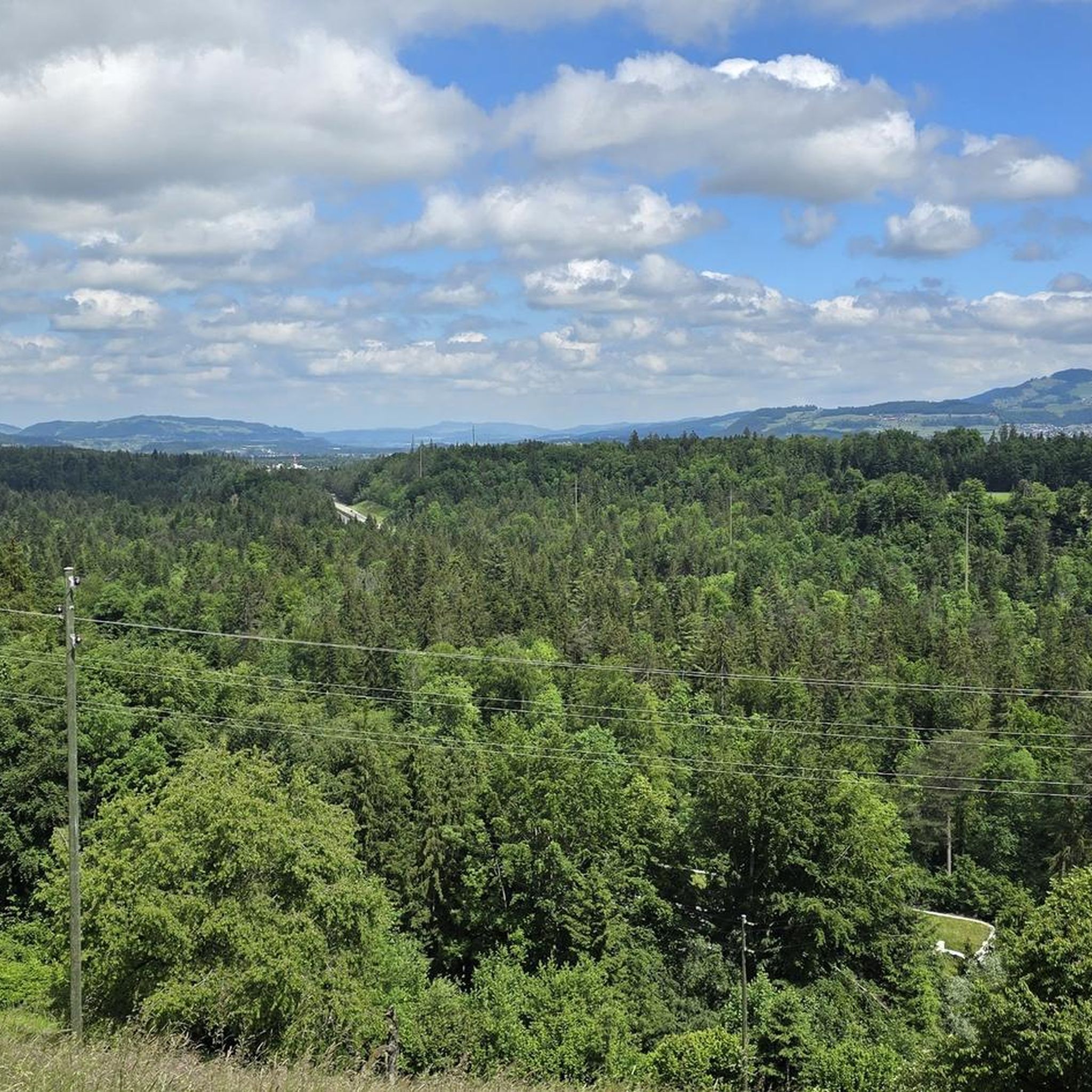
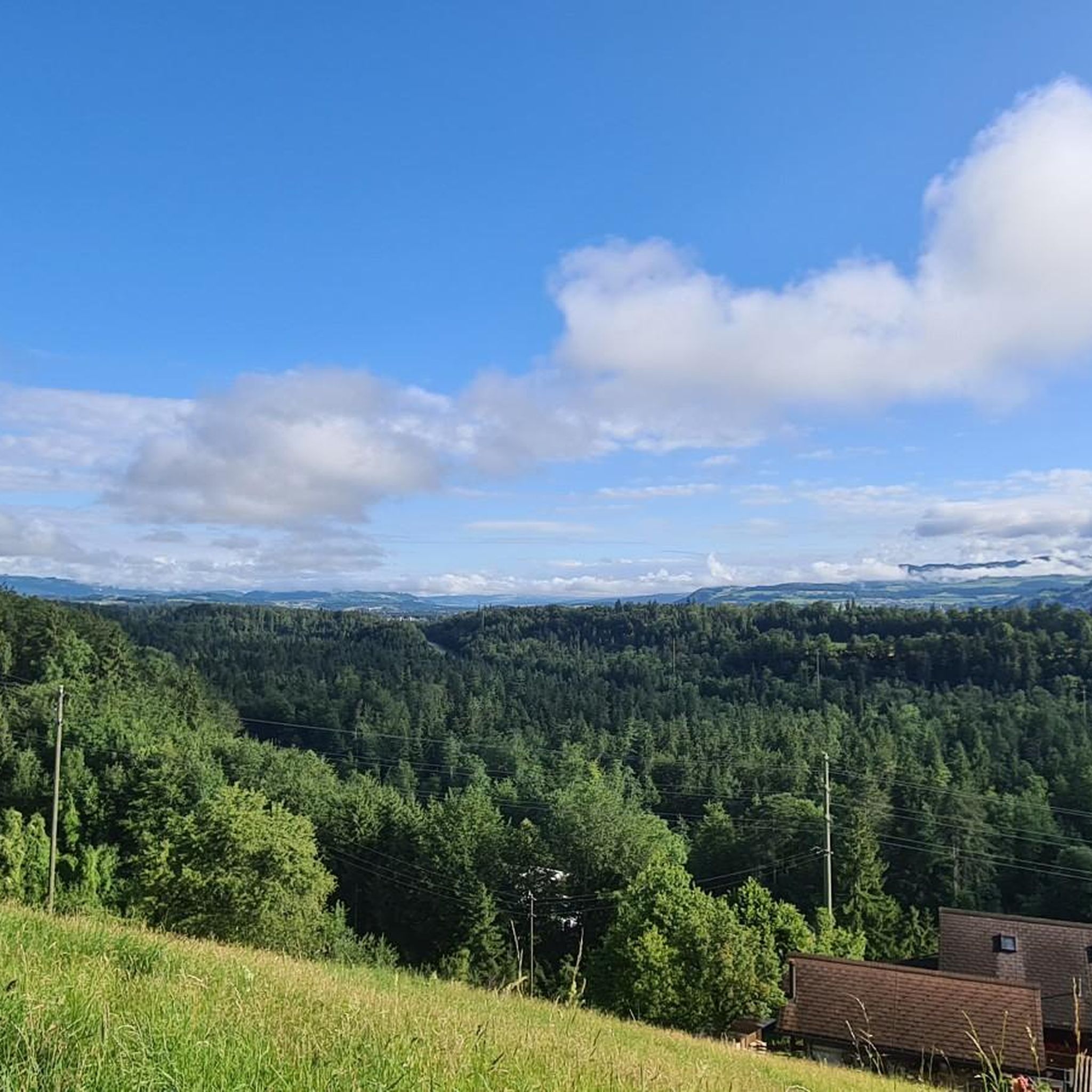
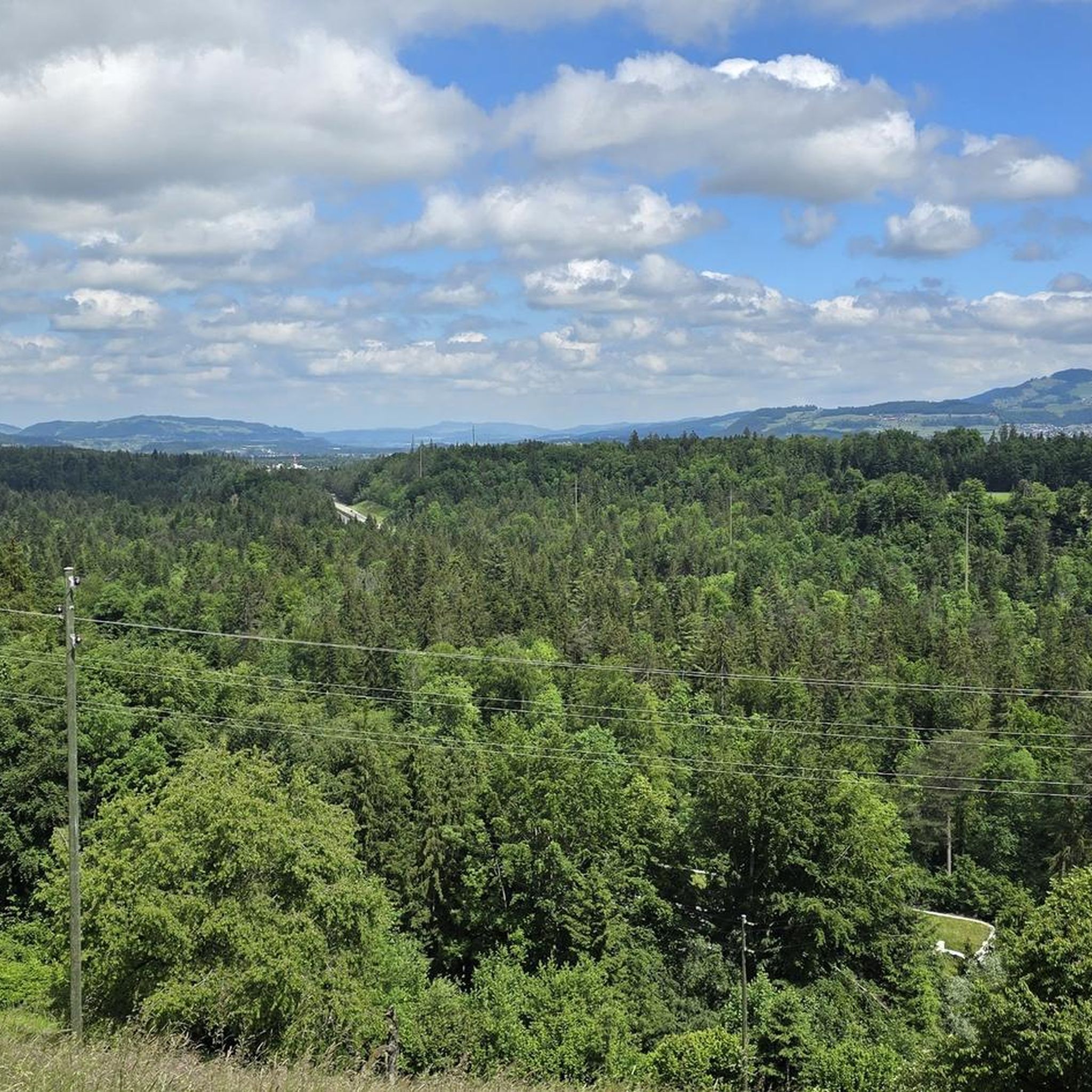
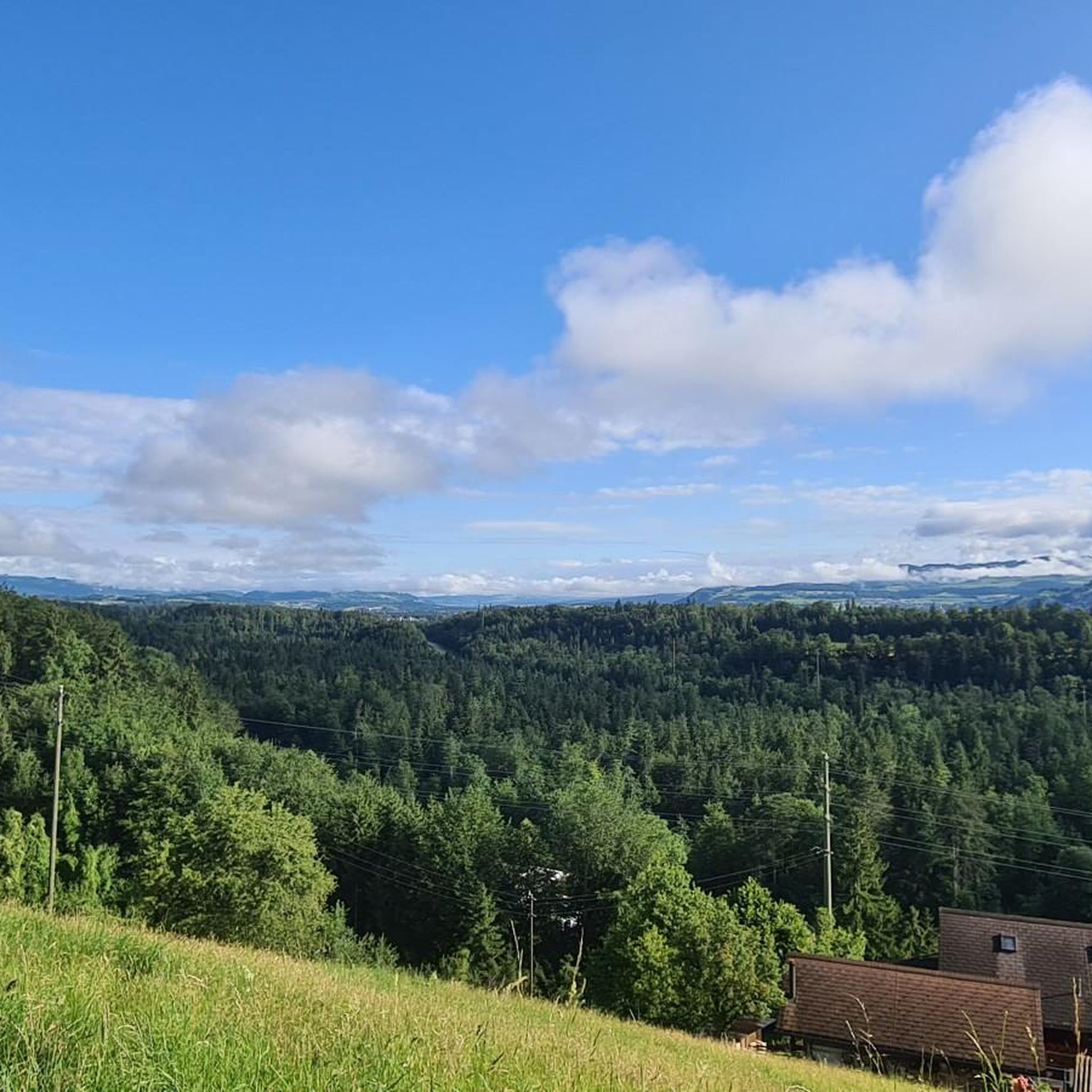
Wonderful calm road through the Bernese Highlands with a spectacular view across the fields into the Zulg Valley and the distant mountains.
0
0
Frequently Asked Questions
How many gravel bike trails are available around Zwieselberg?
The Zwieselberg region offers a diverse network of over 60 gravel bike trails, catering to various skill levels. You'll find routes ranging from easy, more relaxed rides to challenging multi-day tours with significant elevation changes.
What kind of terrain and difficulty can I expect on gravel bike trails around Zwieselberg?
Gravel biking around Zwieselberg features a varied landscape within the Bavarian Forest. Riders can expect a mix of paved and unpaved sections, from fine gravel to root-laden forest paths. The terrain includes extensive woodlands, serene rivers, and rolling hills, with elevation changes ranging from gentle climbs to significant ascents. There are options for easy, moderate, and difficult routes.
Are there any routes suitable for families or those looking for an easier ride?
Yes, Zwieselberg offers 6 easy gravel bike routes, perfect for families or those preferring a more relaxed pace. These trails typically feature less challenging terrain and elevation, allowing for an enjoyable experience amidst the region's natural beauty.
What natural features or landmarks can I see along the gravel bike trails?
The region is rich in natural beauty. You can explore dense forests, encounter serene rivers and lakes, and enjoy views from rolling hills. Some routes might lead you past impressive natural attractions such as the Cholerenschlucht Gorge, the Simme Waterfalls in Wimmis, or the Fallbach Waterfall. Additionally, you might discover fascinating cave systems like the Glütschbachtäli and cave near Übeschisee and Amsoldingersee.
What do other gravel bikers enjoy most about the trails in Zwieselberg?
The komoot community highly rates the gravel biking experience in Zwieselberg, with an average score of 4.8 stars from over 70 reviews. Riders frequently praise the diverse landscapes, the mix of challenging climbs and scenic descents, and the extensive network of forest paths that make for versatile and adventurous rides.
Are there any long-distance gravel routes for experienced riders?
Yes, Zwieselberg offers several challenging long-distance routes. For instance, the View of Lake Thun – View of Lake Thun loop from Lattigen is a difficult 49.4-mile (79.5 km) path with extensive riding and notable ascents. Another option is the Gestelen Pass – Gestelen Pass loop from Wimmis, a 43.9-mile (70.7 km) trail offering significant elevation gain through varied terrain.
What is the best time of year to go gravel biking in Zwieselberg?
The region is generally excellent for gravel biking from spring through autumn. During these seasons, you can enjoy the dense forests, serene lakes, and rolling hills in pleasant weather. While winter conditions can be challenging due to snow and ice, some lower-elevation paths might still be accessible, though caution is advised.
Are there circular gravel routes available?
Yes, many of the gravel routes around Zwieselberg are designed as loops, allowing you to start and finish at the same point. Examples include the Buchen Church loop from Oberhofen, which leads through forested areas, and the Schwarzenegg Church – View of Thun and Stockhorn loop from Stockhorn Arena, offering scenic views.
How long do the gravel bike trails typically take to complete?
The duration varies significantly depending on the route's length and difficulty. Shorter, easier trails like the Buchen Church loop from Oberhofen (19.0 miles / 30.6 km) can be completed in about 2 hours 51 minutes. Longer, more challenging routes, such as the View of Lake Thun – View of Lake Thun loop from Lattigen (49.4 miles / 79.5 km), can take over 6 hours.
Are there any viewpoints along the gravel routes?
Yes, the mountainous and hilly landscape of Zwieselberg offers numerous opportunities for spectacular views. Many routes provide panoramic vistas, sometimes even extending to distant peaks on clear days. The Schwarzenegg Church – View of Thun and Stockhorn loop from Stockhorn Arena is known for its scenic outlooks.
Can I find places to stop for refreshments or a meal along the trails?
While specific cafes or pubs are not listed for every route, the region's charming villages and towns often lie along or near cycling paths. These provide opportunities to experience local culture and cuisine, making for convenient refreshment stops during your ride.
What are the public transport and parking options for accessing the gravel trails?
The region offers various access points to its gravel trails. While specific parking locations or public transport connections for every trailhead are not detailed here, many routes start from towns like Wimmis or Lattigen, which typically have parking facilities and public transport links. It's advisable to check local transport schedules and parking availability for your chosen starting point.
Most popular routes around Zwieselberg
Most popular attractions around Zwieselberg

Get inspired with the komoot mobile app


Explore more
Browse the best Gravel rides in other regions.
