The best mountain hikes around Zwieselberg
4.9
(30)
207
hikers
11
hikes
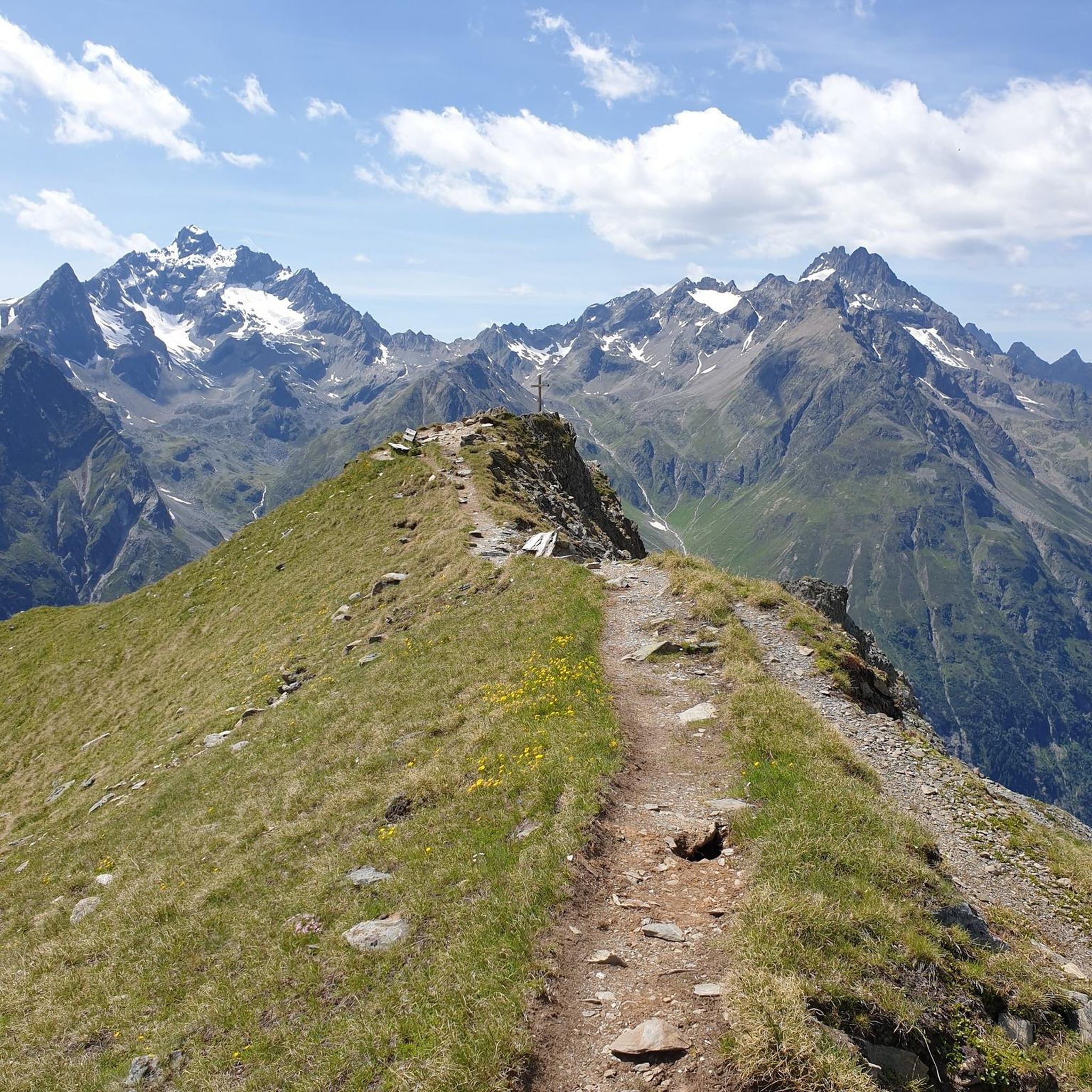
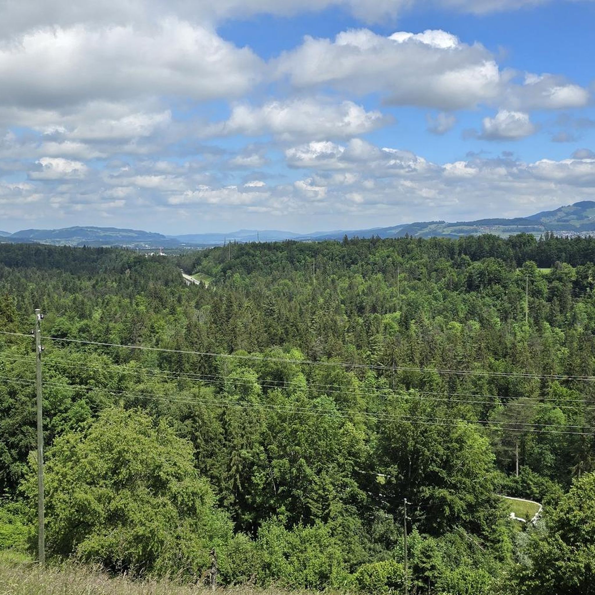
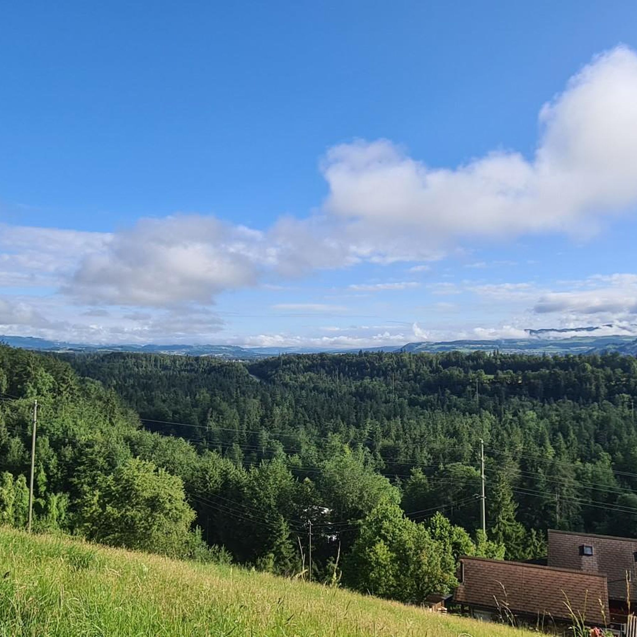
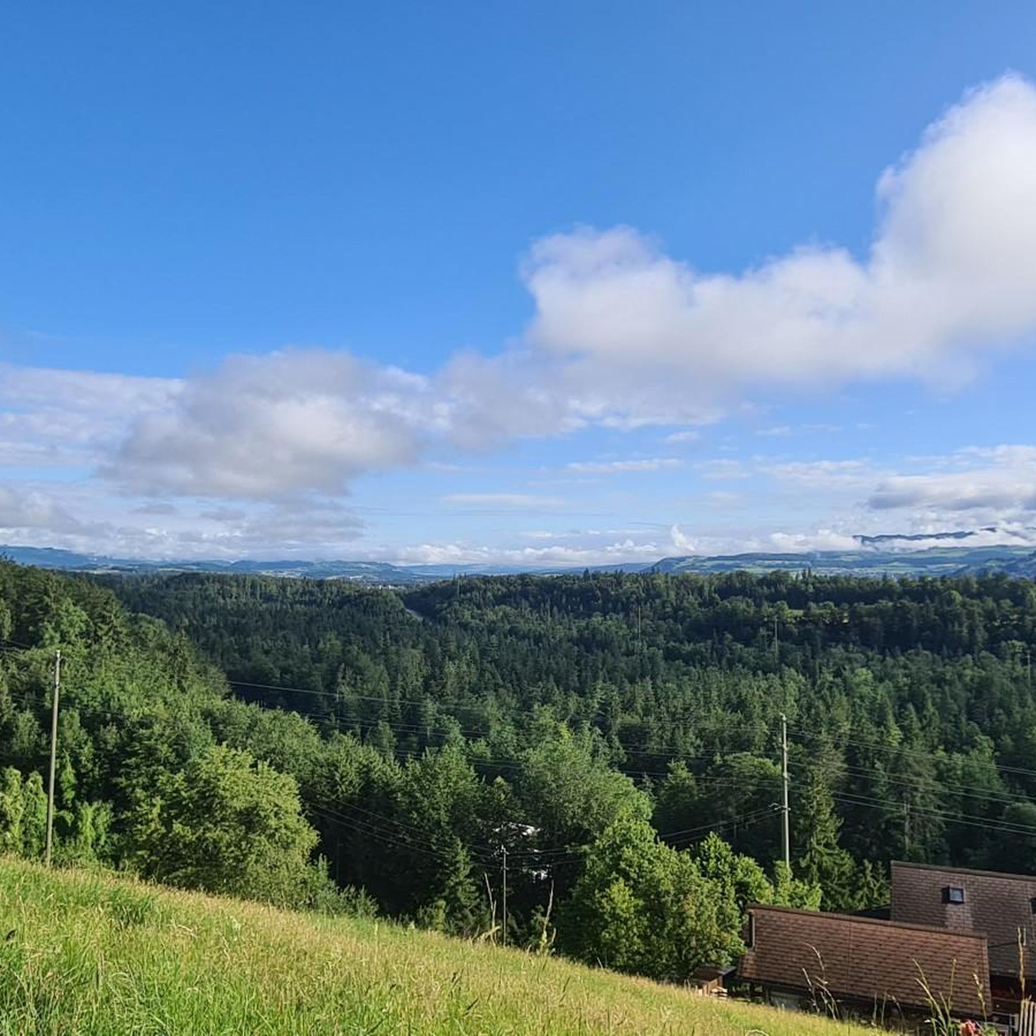
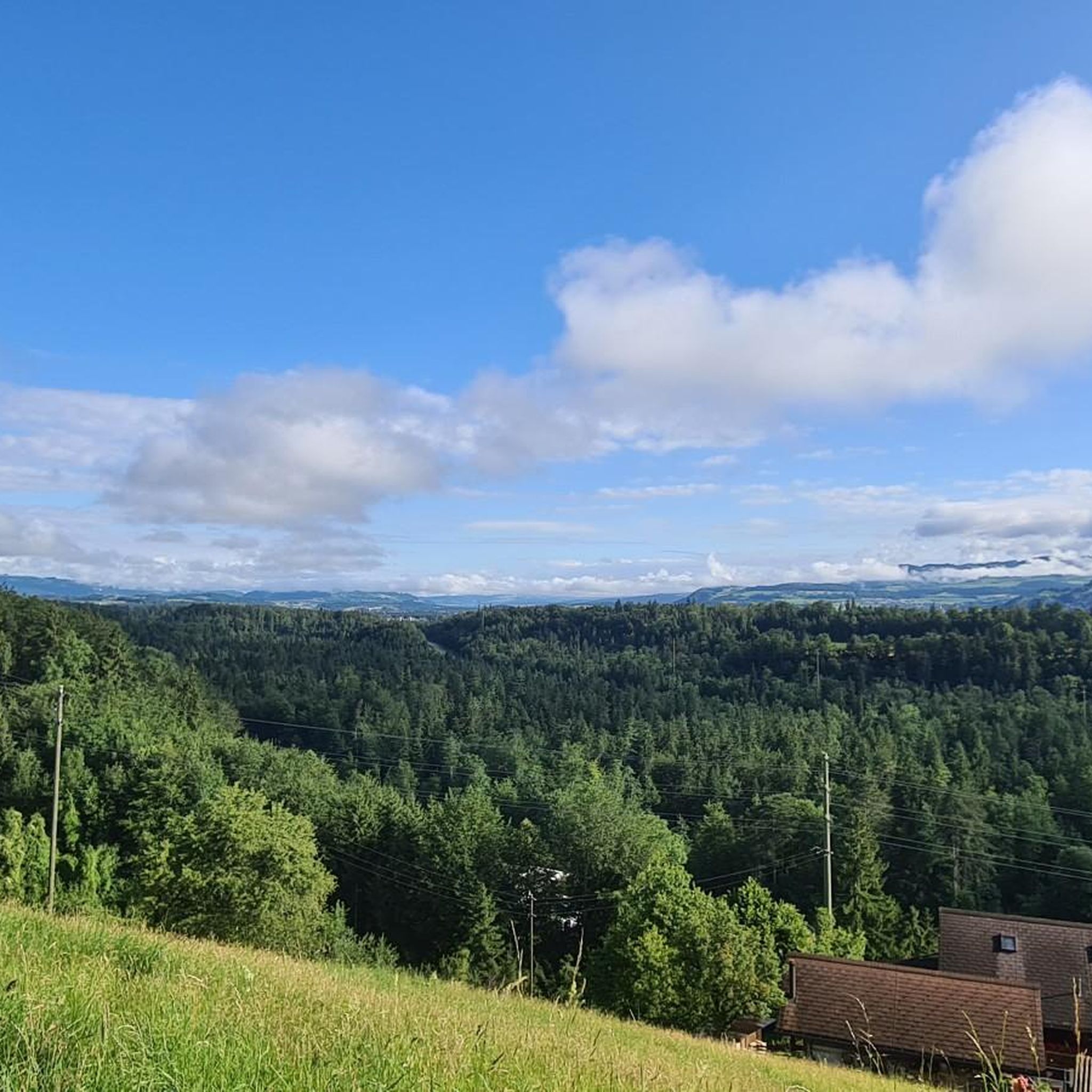
Mountaineering routes around Zwieselberg are set within the Bavarian Prealps, characterized by diverse mountain trails and panoramic views. The region features the Zwieselberg summit at 1,348 meters, offering expansive vistas across the Isarwinkel region and distant ranges. Terrain includes varied hiking paths, some with steeper sections, and open, grassy knolls at higher elevations. Mountain forests and alpine meadows provide a varied and scenic environment for exploration.
Best mountaineering routes around Zwieselberg
- The most popular mountaineering route is Brothüsiweg Covered Bridge…
Last updated: June 22, 2026
4.7
(15)
116
hikers
7.37km
04:02
730m
730m
Hard mountaineering route. Good fitness required. Sure-footedness, sturdy shoes and alpine experience required.
4.0
(1)
12
hikers
8.96km
04:35
800m
800m
Hard mountaineering route. Good fitness required. Sure-footedness, sturdy shoes and alpine experience required.

Sign up for free
5.0
(3)
10
hikers
Moderate mountaineering route. Good fitness required. Mostly accessible paths. Sure-footedness required.
5.0
(2)
12
hikers
17.5km
08:14
1,560m
1,560m
Hard mountaineering route. Very good fitness required. Sure-footedness, sturdy shoes and alpine experience required.
5.0
(2)
7
hikers
14.6km
06:52
1,210m
1,210m
Hard mountaineering route. Very good fitness required. Sure-footedness, sturdy shoes and alpine experience required.
Get access to more routes and recommendations from other explorers.
Sign up for free
Already have an account?
Our route recommendations are based on thousands of hikes, rides, and runs completed by other people on komoot.
Start today with a free account
Your next adventure awaits.
Login or Signup
Tips from the Community

Great after-work hike, but I would recommend a helmet as rockfalls from wildlife or other hikers cannot be ruled out.
0
0

It's called Chatz u Muus (Cat and Mouse). That's because, from the Gürbe Valley, it looks as if a cat (Chatz) and a mouse (Muus) are sitting opposite each other. 🐁_🐈⬛
0
0

Ideal for mountain hikers who only want to hike half of the Niesen.
6
0

Great ascent aid for snowshoe hikes🥰
1
0

🚡 Chrindi middle station - the gateway to adventure on the Stockhorn 🏔️✨ The Chrindi middle station is the perfect starting point for unforgettable experiences around the Stockhorn: 🌊 Hinterstockensee: Can be reached in just a few minutes - ideal for swimming, fishing or simply relaxing by the water. 🥾 Hiking paradise: Start varied hikes here with breathtaking views of the Simmental and the Bernese Alps. 🚠 Onward journey: Take the Stockhorn cable car to the summit station for a 360° panorama.
0
1
Beautiful alpine pasture with restaurant. Closed in winter
11
1
starting point for beautiful snowshoe tours
11
2

Frequently Asked Questions
How many mountaineering routes are available around Zwieselberg, and what are their difficulty levels?
Zwieselberg offers a selection of 11 mountaineering routes. The majority, 10 routes, are classified as difficult, providing a challenge for experienced mountaineers. There is also 1 moderate route available for those seeking a less strenuous but still rewarding experience.
When is the best time of year for mountaineering around Zwieselberg?
The Bavarian Prealps, including Zwieselberg, are beautiful year-round. For traditional mountaineering, late spring to early autumn (May to October) generally offers the most favorable conditions. In the colder months, Zwieselberg transforms into a suitable destination for ski touring and snowshoeing, even in less ideal weather, provided a sensible route is chosen.
Are there family-friendly mountaineering options in the Zwieselberg area?
While many routes are challenging, Zwieselberg does offer diverse trails, including some suitable for families. The region is known for its accessible yet rewarding mountain trails. For a moderate option, consider the Mountaineering loop from Schwandegg, which covers 8 km with manageable elevation gain.
Can I bring my dog on mountaineering routes in Zwieselberg?
Generally, dogs are welcome on the hiking and mountaineering trails around Zwieselberg. It's always advisable to keep your dog on a leash, especially in areas with livestock or wildlife, and to ensure they are fit enough for the chosen route. Remember to carry water for your pet and clean up after them.
Are there any circular mountaineering routes in Zwieselberg?
Yes, Zwieselberg features several excellent circular routes that allow you to start and end at the same point. A notable option is the Brothüsiweg Covered Bridge – Adlerhorst (1960 m) loop from Wimmis, a challenging 7.3 km tour with significant elevation gain.
What kind of views can I expect on the Zwieselberg mountaineering routes?
The summit of Zwieselberg (1,348 meters) is renowned for its expansive panoramic views across the Bavarian Prealps. You can marvel at the Isarwinkel region and distant ranges like the Benediktenwand, Karwendel, and Rofan mountains. Many routes, such as the Stockhorn Viewing Platform loop from Erlenbach, are specifically chosen for their breathtaking vistas.
Are there any waterfalls or gorges to see along the routes?
Yes, the Zwieselberg area is home to several beautiful water features. You might encounter the impressive Cholerenschlucht Gorge or the picturesque Simme Waterfalls in Wimmis. These natural attractions add an extra dimension to your mountaineering experience.
What other interesting landmarks or points of interest are near the mountaineering trails?
Beyond the stunning natural scenery, you can explore several landmarks. The Stockhorn Summit & Panoramic Viewpoint offers incredible vistas, while the Blueme Observation Tower provides another unique perspective. For those interested in climbing, the Sunnighorn Via Ferrata is also nearby.
Are there places to eat or rest along the mountaineering routes?
Yes, several welcoming alpine huts and refreshment options are available along the trails and near the summit. These include the Schnaiter Alm, Waldherralm, and the Blomberghaus, which often feature sun terraces and local cuisine. The Waldherralm is particularly noted for its family-friendly atmosphere.
What do other mountaineers enjoy most about Zwieselberg?
The mountaineering routes around Zwieselberg are highly rated by the komoot community, with an average score of 4.9 stars from over 30 reviews. Mountaineers frequently praise the diverse trails, the stunning panoramic views from the summit, and the welcoming atmosphere of the alpine huts. The combination of accessible yet rewarding paths is a common highlight.
Are there any less crowded or 'hidden gem' trails in Zwieselberg?
While Zwieselberg is popular, its diverse network of trails means you can often find quieter paths. Exploring routes that connect to the nearby Blomberg and Heiglkopf, or venturing on longer, more challenging tours like the Alp Oberbärgli – Sigriswiler Rothorn Summit loop from Schwändiblueme, can lead you to more secluded sections of the mountain.
What is the longest mountaineering route available in Zwieselberg?
One of the longer and more challenging options is the Stockhorn Viewing Platform loop from Erlenbach. This difficult route spans approximately 16.9 km and involves a significant elevation gain, offering a full day's adventure with rewarding views.
Most popular routes around Zwieselberg
Most popular attractions around Zwieselberg

Get inspired with the komoot mobile app


Explore more
Browse the best Mountain Hikes & Routes in other regions.
