The best gravel rides in the Blue Mountains
4.0
(1)
129
riders
13
rides
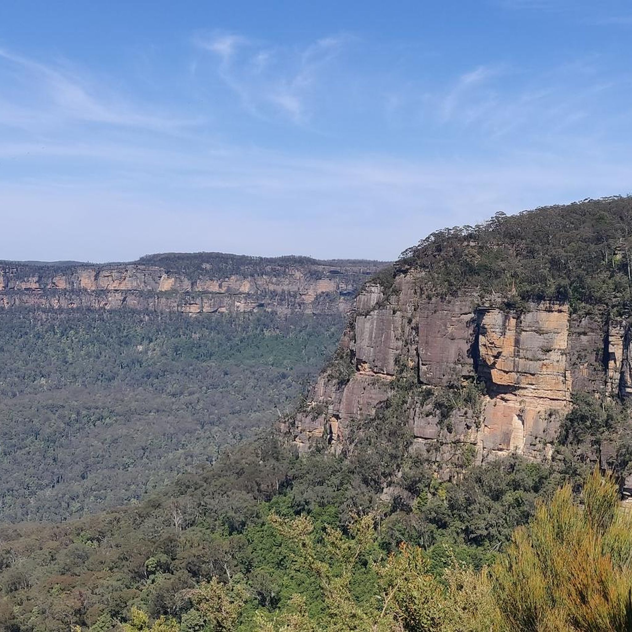
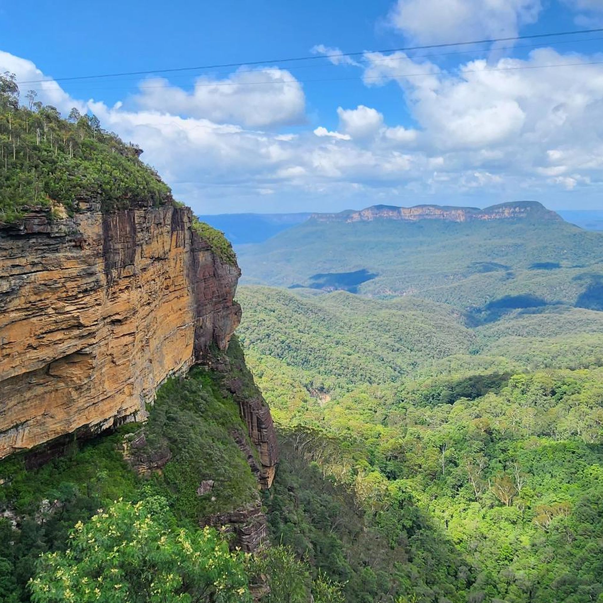
Gravel biking in the Blue Mountains offers routes through a landscape characterized by sandstone cliffs, deep valleys, and extensive eucalyptus forests. The region features a network of fire trails and unsealed roads, providing varied terrain for gravel cyclists. Elevation changes are common, with routes often traversing both ridge lines and valley floors. The area's geology and dense bushland create a distinct environment for off-road cycling.
Best gravel bike trails in the Blue Mountains
- The most popular gravel bike trail is The Oaks Trail Water Crossing – The Helipad loop from Springwood, a 34.0 miles (54.7 km) trail that takes 3 hours 45 minutes to complete. This route features significant elevation gain and varied surfaces typical of the region's fire trails.
- Another top favourite among local gravel bikers is The Oaks Trail Water Crossing loop from Blaxland, a difficult 18.8 miles (30.2 km) path. This trail offers a challenging ride through the Blue Mountains' bushland, including water crossings and unsealed sections.
- Local gravel bikers also love the Bodington Hill – Camp Cave Hill loop from Wentworth Falls, a 30.8 miles (49.6 km) trail leading through forested areas and offering substantial climbs, often completed in about 4 hours 16 minutes.
- Gravel biking in the Blue Mountains is defined by fire trails, eucalyptus forests, and significant elevation changes. The network offers options for challenging rides with considerable climbing.
- The routes in Blue Mountains are highly rated by the komoot community with an average score of 4.0 stars from over 1 review. More than 130 gravel bikers have used komoot to explore Blue Mountains's varied terrain.
Last updated: August 12, 2026
4.0
(1)
13
riders
55.1km
03:46
900m
900m
Hard gravel ride. Very good fitness required. Mostly paved surfaces. Suitable for all skill levels.
6
riders
49.6km
04:16
670m
670m
Hard gravel ride. Very good fitness required. Mostly paved surfaces. Suitable for all skill levels.

Sign up for free
5
riders
47.7km
04:20
960m
960m
Hard gravel ride. Very good fitness required. Mostly paved surfaces. Suitable for all skill levels.
12
riders
30.2km
02:17
480m
480m
Hard gravel ride. Very good fitness required. Mostly paved surfaces. Suitable for all skill levels.
8
riders
44.7km
03:15
810m
810m
Hard gravel ride. Very good fitness required. Mostly paved surfaces. Suitable for all skill levels.
7
riders
65.1km
04:47
1,090m
1,090m
Hard gravel ride. Very good fitness required. Mostly paved surfaces. Suitable for all skill levels.
10
riders
69.0km
04:27
1,020m
1,020m
Hard gravel ride. Very good fitness required. Mostly paved surfaces. Suitable for all skill levels.
7
riders
66.4km
04:51
1,100m
1,100m
Hard gravel ride. Very good fitness required. Mostly paved surfaces. Suitable for all skill levels.
5
riders
31.3km
02:29
600m
600m
Hard gravel ride. Very good fitness required. Mostly paved surfaces. Suitable for all skill levels.
Get access to more routes and recommendations from other explorers.
Sign up for free
Already have an account?
Our route recommendations are based on thousands of hikes, rides, and runs completed by other people on komoot.
Start today with a free account
Your next adventure awaits.
Login or Signup
Other adventures in the Blue Mountains

Tips from the Community

This crossing is a concrete causeway where Glenbrook Creek flows gently across the trail. Depending on water levels, you may need to walk or ride through a shallow sheet of flowing water, so take extra care as you cross, as the surface can be slippery. After heavy rain, the crossing may become impassable or be closed, so be sure to check recent weather conditions before you plan to explore this part of the trail.
0
0

Much safer to take this way can take the time
0
0

The Knapsack Viaduct has a long history that started with its design and construction in the mid 1860s. It was originally used for rail traffic before being converted for automobile traffic in 1926 as part of the Great Western Highway. Eventually the M4 Western Motorway was built and road traffic bypassed the viaduct which lead to its closure in 1993. However, it was reopened to pedestrians as part of the Lapstone Zig Zag walk in 1995.
0
0

Red Wire Saddle is sometimes referred to as Red Wire Saddle Cliffs, and sticks out above the forests to reveal a nice view of the lower Blue Mountains bushland and rolling hills. The saddle sits alongside sandstone cliffs. The name comes from utility workers and fire workers who put up basic telephone and emergency communication lines, and in order to stand up to harsh elements, bushfires, and rusting, the wires were copper-coated which aged into a distinct rusty red hue.
0
0
Woodford – Oaks trail is a wide fire management road that passes though eucalyptus forests and past streams, watering holes, reservoirs, campsites, picnic areas, and archaeological sites like Bora Ground. The entire trail stretches from Woodford to Glenbrook spanning almost 28 kilometres in total. The trail can be taken as an out and back or, for ambitious bushwalkers and bikers, an end-to-end adventure. The trail starts and ends very close to Woodford and Glenbrook train stations. This area can get hot in summer. During severe heatwaves, temperatures can occasionally soar past 40° C, so plan accordingly.
0
0
The Woodford – Oaks trail is an unsealed fire management road, not a public driving road. Just south of the Wheel Firefighting Reservoir spur trail, the Woodford – Oaks trail opens up to a large dirt car park for designated vehicles.
0
0
Green Parade is a road that is often paired with the Valley Heights Fire Trail to create a complete loop. Green Parade has a sidewalk for most of the way, but there are also just grassy and dirt areas to walk on the side of the road. Green Parade is not very busy, but still be careful when walking near traffic.
0
0
The Valley Heights Rail Museum has tours, a cafe, and steam tram rides, along with its museum. It's a charming museum full of information and with lots of realistic miniature working trains to enjoy.
0
0
Frequently Asked Questions
How many gravel bike trails are available in the Blue Mountains?
There are over 10 gravel bike trails documented in the Blue Mountains on komoot, offering a variety of experiences for off-road cyclists. The region is known for its extensive network of fire trails and unsealed roads.
Are there any beginner-friendly gravel bike routes in the Blue Mountains?
While many routes in the Blue Mountains feature significant elevation changes and are rated as difficult, some sections might be more manageable for beginners. For example, parts of the The Oaks Trail Water Crossing loop from Blaxland offer varied terrain, but riders should be prepared for challenging sections. It's advisable to check the elevation profile and distance before heading out.
What is the typical length and duration of gravel bike trails in the Blue Mountains?
Gravel bike trails in the Blue Mountains vary significantly in length and duration. You can find routes ranging from approximately 18 miles (30 km) like The Oaks Trail Water Crossing loop from Blaxland, which takes around 2 hours 17 minutes, up to over 40 miles (65 km) such as the Burralow Firetrail – Lagoon Tree-Lined Path loop from Bilpin, which can take over 6 hours to complete.
Are there any challenging gravel trails for experienced riders?
Yes, the Blue Mountains are well-suited for experienced gravel bikers seeking a challenge. Routes like the Lagoon Tree-Lined Path – Burralow Firetrail loop from Kurrajong, covering 40 miles (65 km) with over 1000 meters of elevation gain, offer substantial climbs and varied surfaces typical of the region's fire trails.
What kind of terrain can I expect on gravel bike trails in the Blue Mountains?
You can expect a mix of fire trails and unsealed roads, often traversing through dense eucalyptus forests. The terrain frequently includes significant elevation changes, with routes moving across both ridge lines and valley floors. Some trails, like those along The Oaks Trail, feature water crossings.
Are there any loop trails for gravel biking in the Blue Mountains?
Many gravel bike routes in the Blue Mountains are designed as loops, allowing you to start and finish at the same point. Examples include the Woodford Oaks Trail – Bedford Creek Crossing loop from Woodford and the Bedford Creek Crossing loop from Woodford, offering circular journeys through the bushland.
What is the best time of year for gravel biking in the Blue Mountains?
The Blue Mountains experience distinct seasons. Spring (September-November) and Autumn (March-May) generally offer the most pleasant conditions with mild temperatures and less extreme weather, making them ideal for gravel biking. Summers can be hot, and winters can be cool and wet, so checking the forecast is always recommended.
What are some scenic viewpoints or attractions accessible from gravel bike trails?
While many gravel trails focus on the bushland experience, some routes may offer access to stunning natural attractions. You can find viewpoints like Evans Lookout or Govetts Leap Lookout, and even waterfalls such as Wentworth Falls or Katoomba Falls, often requiring a short detour or hike from the main gravel paths.
Are there any gravel bike trails that pass by places with food or cafe stops?
Some routes start or pass through towns where you can find cafes and shops. For instance, the Mountain High Pies – Bedford Creek Crossing loop from Leura begins near Leura, a town known for its charming cafes and eateries, providing opportunities for a pre-ride coffee or a post-ride meal.
What do other gravel bikers enjoy most about riding in the Blue Mountains?
The area is highly rated by the komoot community, with an average score of 4.0 stars. Reviewers often praise the challenging nature of the trails, the immersive experience of riding through dense eucalyptus forests, and the significant elevation changes that make for a rewarding workout.
Are there any hidden gem gravel routes in the Blue Mountains?
For those looking to explore less-trafficked paths, consider routes that venture deeper into the national park away from the more popular tourist spots. The Bodington Hill – Camp Cave Hill loop from Wentworth Falls, while challenging, offers a journey through forested areas that can feel more secluded.
What should I know about parking for gravel biking in the Blue Mountains?
Many trailheads in the Blue Mountains, especially those for fire trails, have designated parking areas. It's common to find parking at the start points of popular loops or near towns that serve as access points. Always check local signage for any parking restrictions or fees, particularly within national park areas.
Most popular routes in the Blue Mountains
Most popular attractions in the Blue Mountains

Get inspired with the komoot mobile app


Explore more
Browse the best Gravel rides in other regions.
