The best gravel rides around Illerrieden
4.6
(78)
540
riders
72
rides
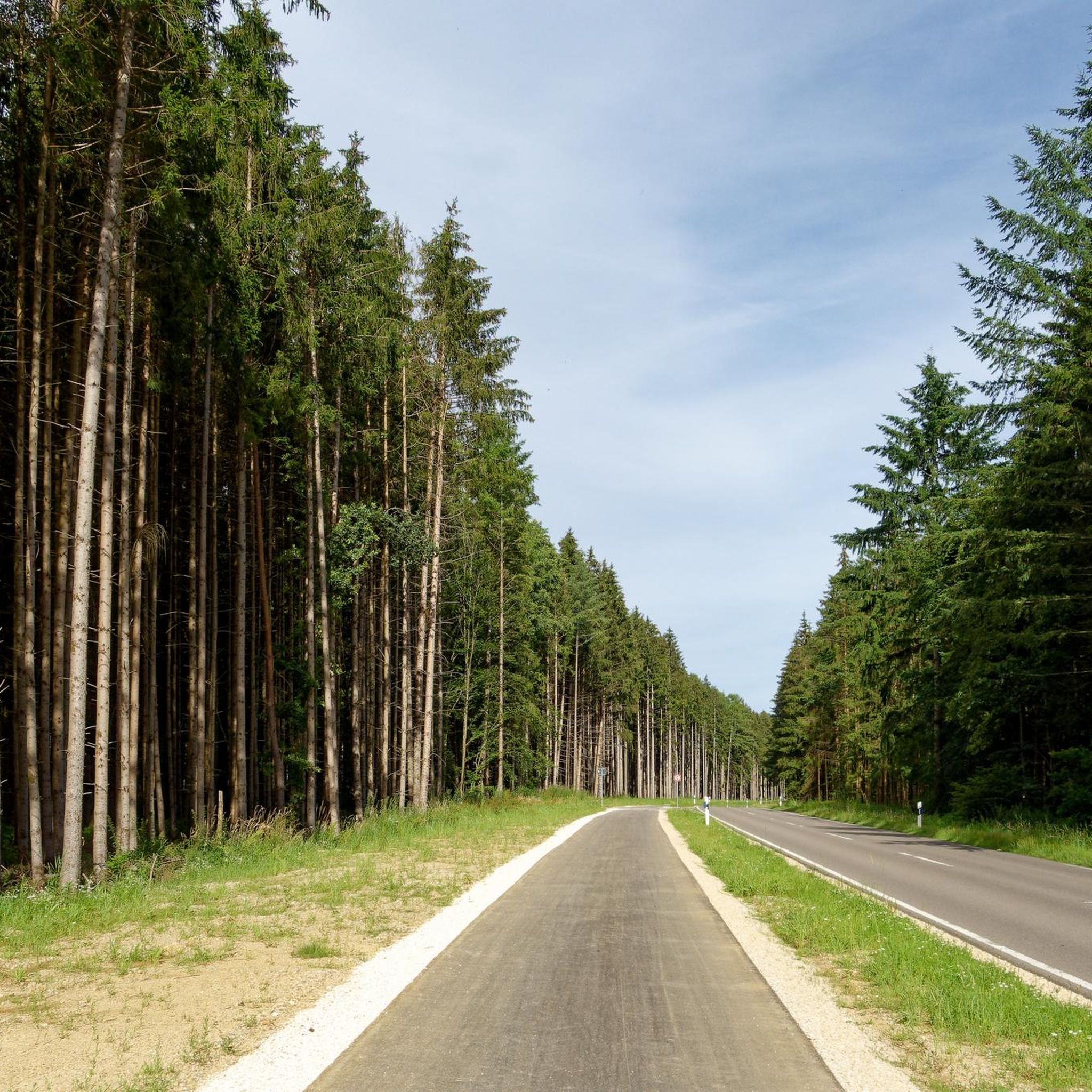
Gravel biking around Illerrieden offers diverse terrain characterized by rolling hills, green meadows, and dense forests. The region's natural beauty is enhanced by numerous small streams and rivers, including the Iller, which contribute to a scenic backdrop. Illerrieden's proximity to the Swabian Alb and the Iller valley ensures a mix of well-maintained forest paths, less-trafficked roads, and river paths suitable for gravel bikes. This landscape provides a range of surfaces, from flat sections along river routes to routes with occasional…
Last updated: October 19, 2026
4.6
(5)
31
riders
30.8km
01:40
60m
60m
Easy gravel ride. Great for any fitness level. Mostly paved surfaces. Suitable for all skill levels.
25
riders
40.0km
02:07
100m
100m
Moderate gravel ride. Good fitness required. Mostly paved surfaces. Suitable for all skill levels.

5.0
(1)
4
riders
31.6km
02:06
260m
260m
Hard gravel ride. Good fitness required. You may need to push your bike for some segments of this route.
4.0
(2)
4
riders
25.4km
01:41
210m
210m
Moderate gravel ride. Good fitness required. Mostly paved surfaces. Suitable for all skill levels.
3
riders
47.7km
02:49
240m
240m
Hard gravel ride. Good fitness required. You may need to push your bike for some segments of this route.
Get access to more routes and recommendations from other explorers.
Already have an account?
Our route recommendations are based on thousands of hikes, rides, and runs completed by other people on komoot.
Start today with a free account
Your next adventure awaits.
Tips from the Community

Here you can have a good and cozy stop and always meet cyclists with pleasure.
0
0

Simple short trail, nothing special.
0
0
The lake is beautiful, unfortunately the forest environment is totally ugly and destroyed.
0
0


Well-maintained, safe crossing over the canal.
1
0
Frequently Asked Questions
How many gravel bike routes are available around Illerrieden?
There are over 130 gravel bike routes available around Illerrieden, offering a wide variety of options for different skill levels and preferences.
What kind of terrain can I expect on gravel bike trails in Illerrieden?
Illerrieden's gravel trails feature a diverse landscape of rolling hills, green meadows, and dense forests, including areas like the "Holzstöcke." You'll encounter a mix of well-maintained forest paths, less-trafficked roads, and scenic river paths along the Iller and Danube. The terrain varies from flat sections, particularly along river routes, to routes with occasional ascents, providing a good mix for gravel bikes.
Are there gravel routes suitable for beginners in Illerrieden?
Yes, Illerrieden offers over 20 easy gravel bike routes perfect for beginners or those looking for a relaxed ride. These often follow gentler paths, such as sections along the Iller River. An example is the Weir on the Iller – View of the River Iller loop from Illerrieden, an easy 11.2-mile (18 km) route.
What are the more challenging gravel biking options around Illerrieden?
For those seeking a challenge, there are over 30 difficult gravel routes around Illerrieden. These routes often include more significant ascents and cover longer distances, taking you through the more demanding parts of the rolling hills and forests characteristic of the Swabian Alb region.
Are there circular gravel routes available in Illerrieden?
Yes, many of the gravel bike routes around Illerrieden are designed as loops, allowing you to start and end at the same point. For instance, the Weirs on the Iller – Weir on the Iller loop from Bellenberg is a popular circular route following the Iller River.
What is the best time of year for gravel biking in Illerrieden?
The spring, summer, and early autumn months generally offer the best conditions for gravel biking in Illerrieden, with pleasant temperatures and lush scenery. While some trails may be accessible in winter, be mindful of potential snow, ice, or muddy conditions, especially on unpaved forest paths.
What can I see along the gravel bike trails in Illerrieden?
Many routes offer scenic views of the Iller River and its surrounding landscapes. You can also explore historical and cultural points of interest nearby. Consider visiting the Old Town of Weißenhorn or the Museum Illertissen & Bavarian Bee Museum, which are accessible from some routes.
Are there any castles or historical sites near the gravel routes?
Yes, the region around Illerrieden features several historical sites and castles. You might find yourself near Großlaupheim Castle, Kirchberg Castle, or Fugger and Neuffen Castle (Town Hall) in Weißenhorn, offering interesting stops during your ride.
What do other gravel bikers enjoy most about gravel biking in Illerrieden?
The komoot community highly rates the gravel biking experience in Illerrieden, with an average score of 4.6 stars from over 100 reviews. Riders often praise the diverse terrain, from serene river paths to engaging forest trails, and the well-maintained network of paths that cater to various skill levels.
Are there any long-distance gravel routes or cycle paths that connect to Illerrieden?
Illerrieden is situated near significant long-distance cycle paths. You can connect to sections of the Iller Cycle Route and the Danube Cycle Path, which offer extensive, often flat or gently rolling terrain suitable for longer gravel tours. The Iller-Roth-Günz Railway Cycle Path – Road Cycling Speed Route loop from Vöhringen is a longer 38-mile (61.2 km) route that utilizes former railway lines.
Are there any specific natural features or wildlife to look out for?
The region's natural beauty is characterized by numerous small streams and rivers, and the Illerrieden lake district, a nature reserve with several small lakes and ponds. While specific wildlife sightings are not guaranteed, these natural habitats provide opportunities to observe local flora and fauna, especially in the quieter forest and riverine areas.
What is the typical elevation gain on gravel routes in Illerrieden?
Elevation gain varies significantly across routes. While many river-adjacent routes are relatively flat, such as the Iller Cycle Path – Rushing Iller River loop from Senden with around 200 feet (63 m) of ascent, routes venturing into the rolling hills can have more substantial climbs. For example, the Iller-Roth-Günz Railway Cycle Path – Road Cycling Speed Route loop from Vöhringen features over 790 feet (240 m) of elevation gain.
Most popular routes around Illerrieden
Most popular attractions around Illerrieden

Get inspired with the komoot mobile app


Explore more
Browse the best Gravel rides in other regions.
