The best road cycling routes around Illerrieden
4.5
(686)
9,347
riders
524
rides
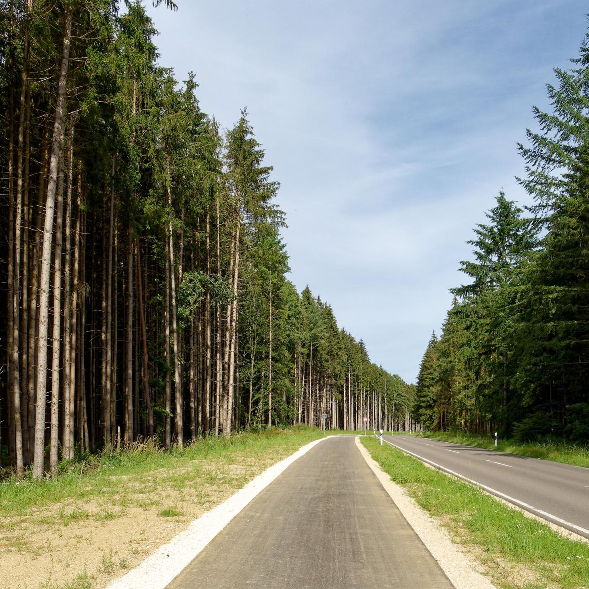
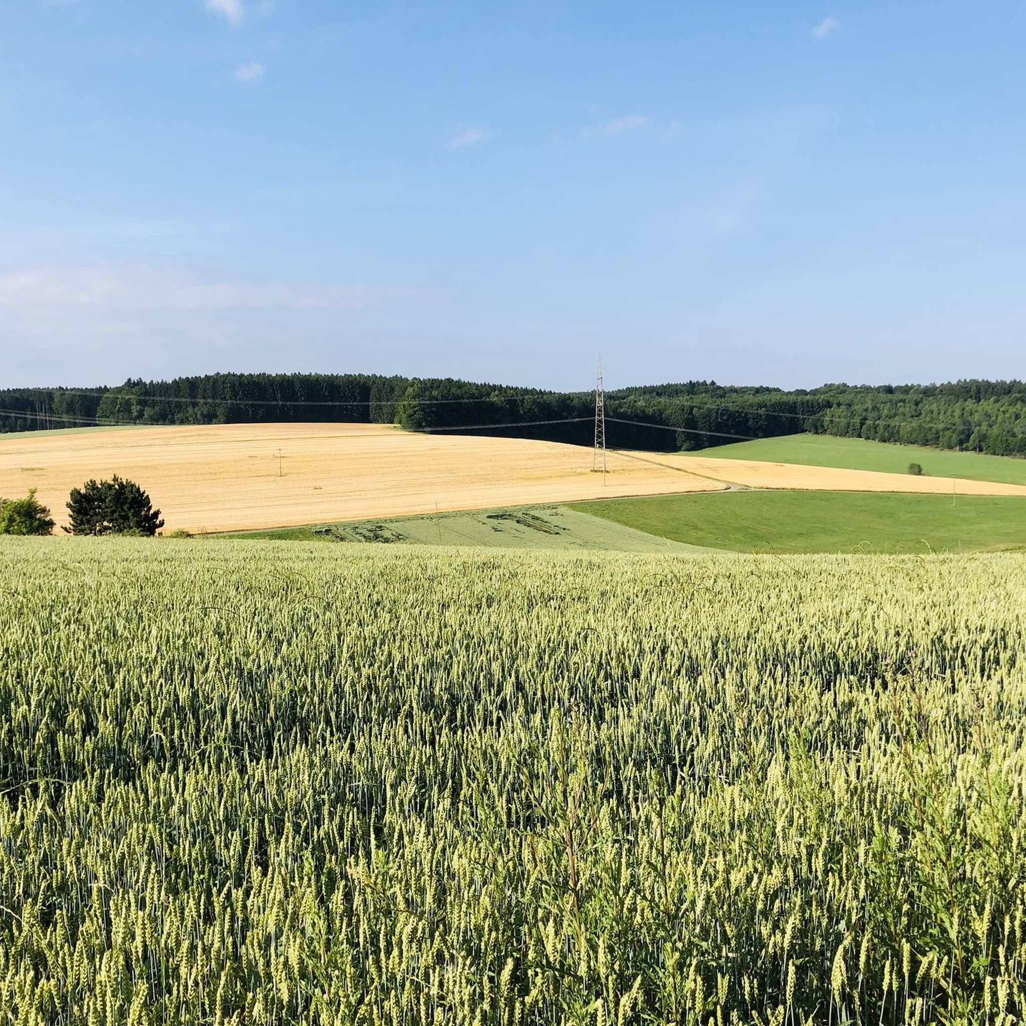
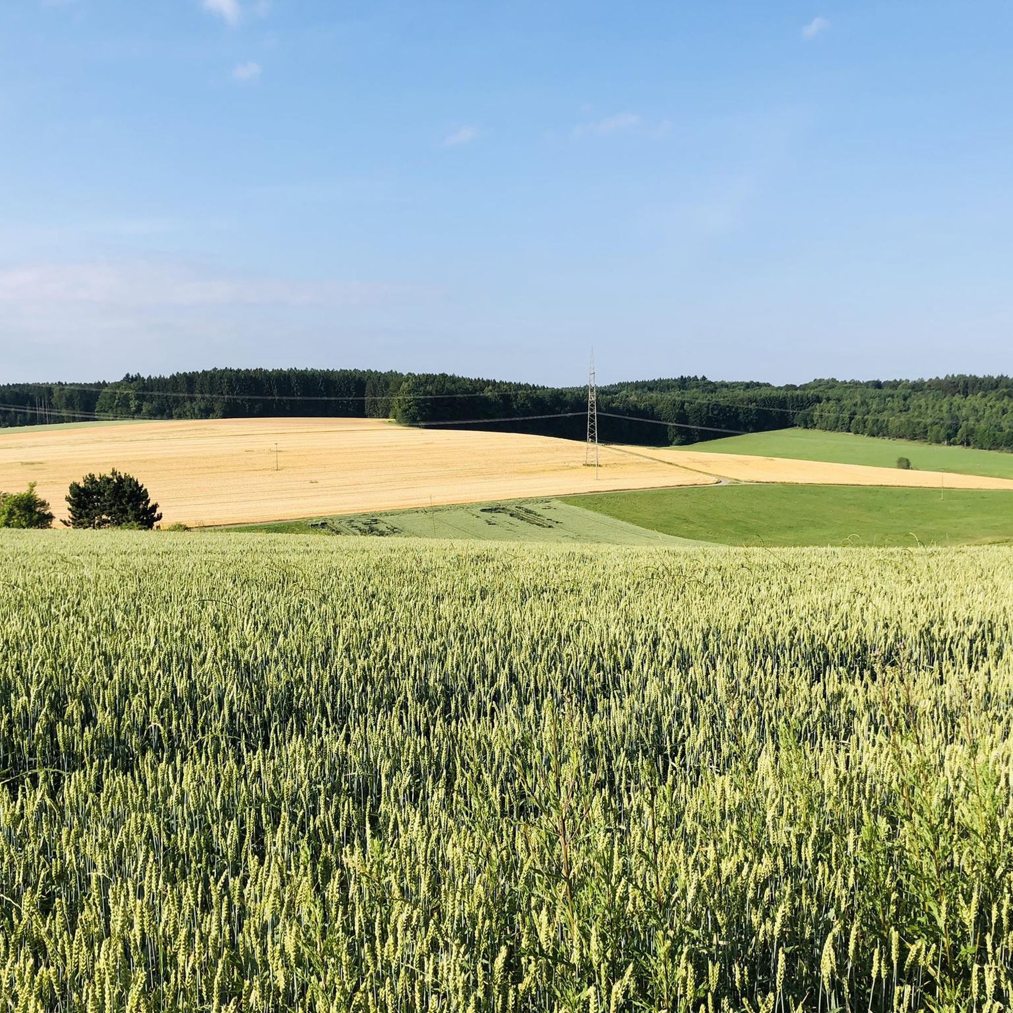
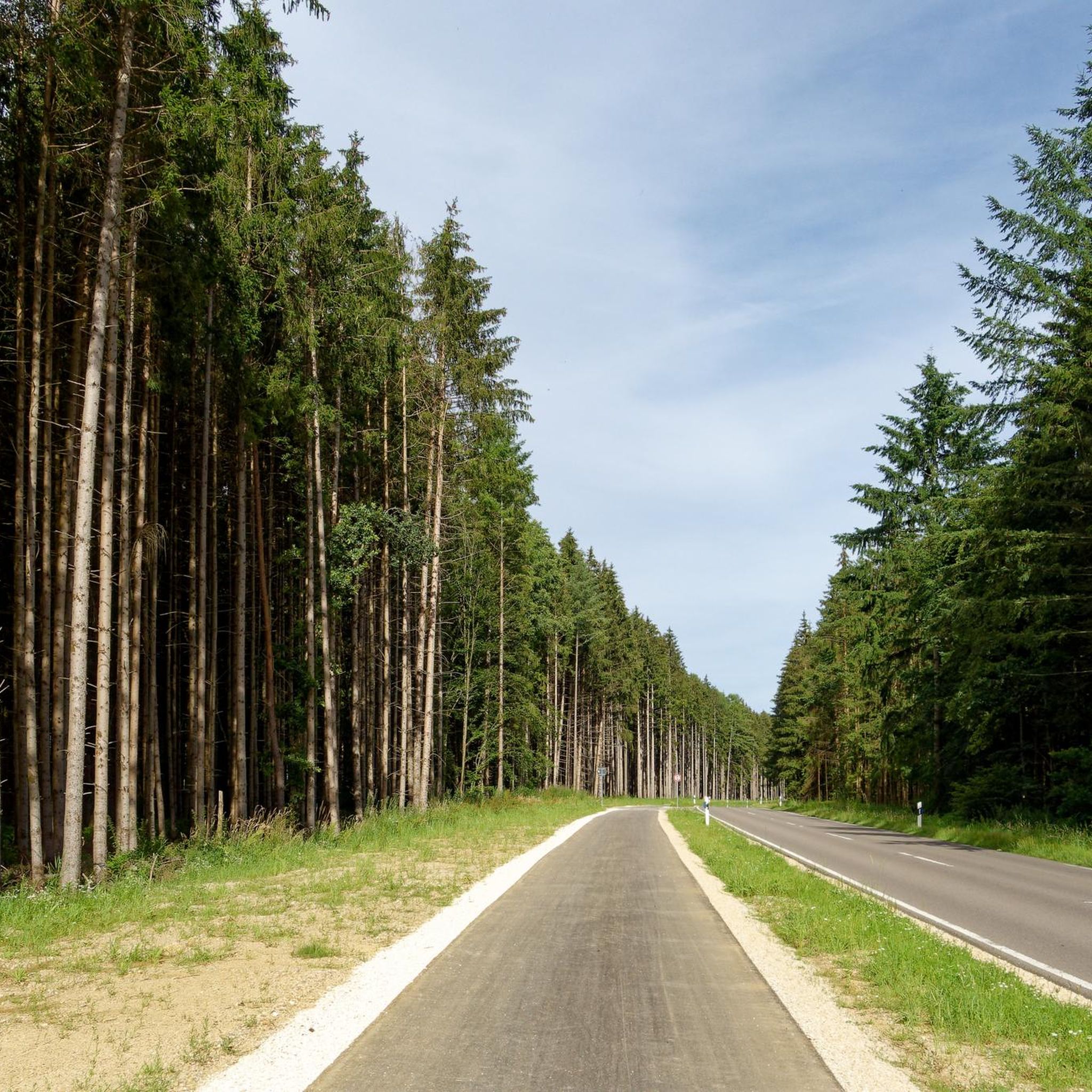
Road cycling routes around Illerrieden are set within the Alb-Donau district of Germany, characterized by rolling hills, verdant meadows, and dense forests, with the Iller River as a central natural feature. The topography offers varied cycling experiences, from mostly flat sections along the Iller River to engaging ascents and descents through hills and forests. Many local routes feature mostly paved surfaces, making them suitable for road bikes. The region's well-developed cycling infrastructure includes a new cycle path between Illerrieden and Beuren.
Best road cycling routes around Illerrieden
- The most popular road cycling route is Danube Fork near Donaustetten loop from Schnürpflingen, a 40.9 miles (65.9 km) trail that takes 2 hours 44 minutes to complete. This route offers views of the Danube Fork and surrounding landscapes.
- Another top favourite among local road cyclists is Dellmensingen Water Tower – Idyllic Sunflower Field loop from Schnürpflingen, a moderate 33.3 miles (53.6 km) path. This route features the Dellmensingen Water Tower and idyllic sunflower fields.
- Local road cyclists also love the Dietenheim Town Center – Weihung Stream Restoration loop from Illerrieden, a 18.0 miles (29.0 km) trail leading through the Dietenheim Town Center and Weihung Stream Restoration, often completed in about 1 hour 10 minutes.
- Road cycling around Illerrieden is defined by the Iller River, rolling hills, and lush forests, offering a diverse and scenic backdrop. The network provides options for various fitness levels, from easy rides to more challenging routes with significant elevation.
- The routes in Illerrieden are highly rated by the komoot community with an average score of 4.5 stars from over 400 reviews. More than 6,800 road cyclists have used komoot to explore Illerrieden's varied terrain.
Last updated: October 18, 2026
3.0
(2)
9
riders
Moderate road ride. Good fitness required. Mostly well-paved surfaces and easy to ride.
15
riders
Moderate road ride. Good fitness required. Mostly well-paved surfaces and easy to ride.

14
riders
Easy road ride. Great for any fitness level. Mostly well-paved surfaces and easy to ride.
5.0
(1)
12
riders
58.0km
02:24
290m
290m
Moderate road ride. Good fitness required. Mostly well-paved surfaces and easy to ride.
3.0
(1)
5
riders
Easy road ride. Great for any fitness level. Mostly well-paved surfaces and easy to ride.
Get access to more routes and recommendations from other explorers.
Already have an account?
Our route recommendations are based on thousands of hikes, rides, and runs completed by other people on komoot.
Start today with a free account
Your next adventure awaits.

Tips from the Community

Church in a village
1
0

A very nice detour along the Danube
0
0

Next to the church there is an ice cream café with delicious ice cream!
0
0

From the entrance to Bihlafingen NO CYCLE PATH!!!
0
0


Erbach Castle is situated majestically on the Danube bank with a magnificent view.
2
0


The asphalted road from Schönebürg to Mietingen runs along the Rottum and is easy to navigate.
0
0
Frequently Asked Questions
How many road cycling routes are available around Illerrieden?
There are over 500 road cycling routes around Illerrieden, offering a wide variety of options for different skill levels and preferences. The komoot community has explored more than 6,800 of these routes.
What kind of terrain can I expect on road cycling routes in Illerrieden?
The terrain around Illerrieden is quite varied. You'll find mostly flat sections along the Iller River, ideal for relaxed rides, alongside engaging ascents and descents through rolling hills and lush forests like the Buxheimer Wald. Many routes feature paved surfaces, making them well-suited for road bikes.
Are there road cycling routes suitable for beginners or families in Illerrieden?
Yes, Illerrieden offers a good selection of easy road cycling routes. For example, the Dietenheim Town Center – Weihung Stream Restoration loop from Illerrieden is an easy 18.0-mile (29.0 km) trail with minimal elevation gain, perfect for a relaxed ride. The region's diverse topography ensures options for all abilities.
What about more challenging road cycling routes around Illerrieden?
For those seeking a greater challenge, Illerrieden has routes with more significant elevation changes and longer distances. While specific difficult routes aren't highlighted here, the region's rolling hills and forests provide ample opportunities for more demanding rides requiring good fitness.
What natural features or scenic views can I expect to see while cycling?
Road cycling routes in Illerrieden often follow the picturesque Iller River, offering views of riparian forests, meadows, and farms. You might also encounter the Illerrieden lake district, the Riedwiesen nature reserve, and even distant views of the Alps from higher points like the Römerstein. The Rushing Iller River is a prominent natural highlight.
Are there any historical or cultural landmarks along the cycling routes?
Yes, beyond natural beauty, the region offers cultural points of interest. You can explore the 'culture trail 'From Celts to Stake Builders'' which passes archaeological sites. Additionally, you might pass through the Old Town of Weißenhorn or spot castles like Großlaupheim Castle and Fugger and nephew castle of Weißenhorn.
Are there any circular road cycling routes in Illerrieden?
Yes, many road cycling routes around Illerrieden are designed as loops, allowing you to start and end in the same location. Examples include the Danube Fork near Donaustetten loop from Schnürpflingen and the Dellmensingen Water Tower – Idyllic Sunflower Field loop from Schnürpflingen.
What is the best time of year for road cycling in Illerrieden?
The best time for road cycling in Illerrieden is generally during the spring, summer, and early autumn months. These seasons offer pleasant temperatures and lush landscapes. The region's varied terrain means you can find enjoyable rides even during warmer periods by choosing routes with more tree cover.
What do other road cyclists enjoy most about road cycling in Illerrieden?
The area is highly rated by the komoot community, with an average score of 4.5 stars from over 400 reviews. Cyclists often praise the diverse and scenic backdrop provided by the Iller River, rolling hills, and forests, as well as the well-maintained, mostly paved surfaces suitable for road bikes.
Is there good infrastructure for road cyclists, like dedicated cycle paths?
Yes, Illerrieden benefits from a well-developed cycling infrastructure. It's integrated into the broader Illertal Cycle Route, and many local routes feature paved surfaces. A significant recent addition is a new cycle path between Illerrieden and Beuren, providing a dedicated and safer option for cyclists.
Are there any long-distance road cycling opportunities from Illerrieden?
Absolutely. Illerrieden is part of the extensive Illertal Cycle Route, which spans 147 kilometers from Oberstdorf to Ulm. This allows for longer, multi-day tours or extended day trips, offering exceptional scenic beauty along the Iller River.
Can I find routes that offer views of castles or historical sites?
Yes, several routes may pass by or offer views of historical sites. For instance, you could explore routes near Kirchberg Castle or Wain Castle, adding a historical dimension to your ride. The 'culture trail 'From Celts to Stake Builders'' also highlights archaeological sites.
Most popular routes around Illerrieden
Most popular attractions around Illerrieden

Get inspired with the komoot mobile app


Explore more
Browse the best Road cycling routes in other regions.
