The best gravel rides around Birx
4.9
(15)
50
riders
6
rides
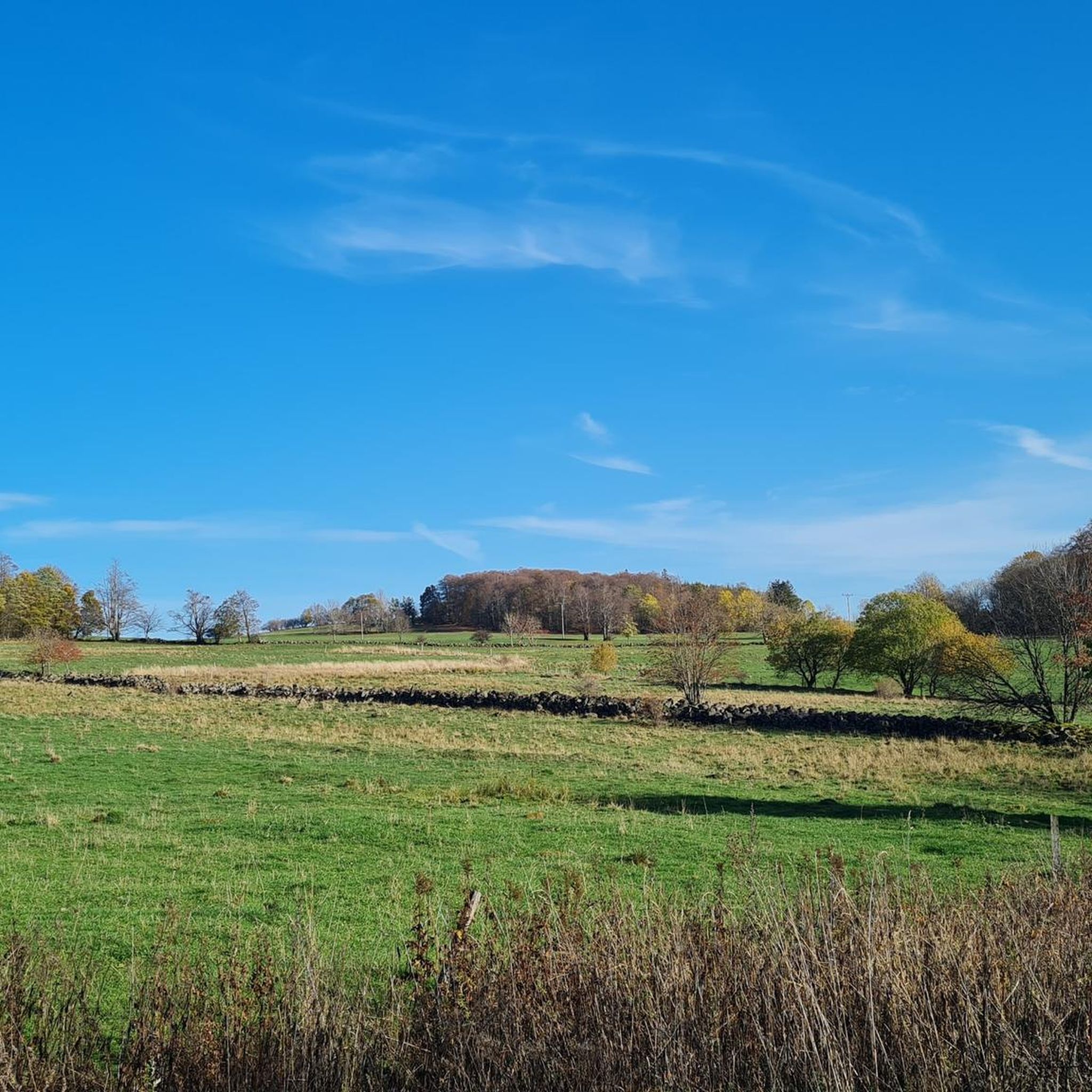
Gravel biking around Birx offers a diverse landscape characterized by the Bavarian Rhön Nature Park, river valleys, and scenic mountain views. The region features a mix of former railway paths, open countryside, and forested sections, providing varied terrain for gravel cyclists. Elevation changes are common, with routes traversing hills and offering panoramic vistas of the surrounding Rhön Mountains and Fulda Valley. The area's natural features create a dynamic environment suitable for different levels of gravel biking.
Best gravel bike trails…
Last updated: July 2, 2026
4.7
(3)
15
riders
37.2km
02:54
610m
610m
Hard gravel ride. Very good fitness required. Mostly paved surfaces. Suitable for all skill levels.
5.0
(4)
13
riders
30.8km
01:47
320m
320m
Moderate gravel ride. Good fitness required. Mostly paved surfaces. Suitable for all skill levels.

Sign up for free
5.0
(6)
8
riders
27.4km
01:41
440m
440m
Moderate gravel ride. Good fitness required. Mostly paved surfaces. Suitable for all skill levels.
2
riders
24.9km
01:47
550m
550m
Hard gravel ride. Very good fitness required. Mostly paved surfaces. Suitable for all skill levels.
5.0
(2)
3
riders
59.9km
03:55
1,050m
1,050m
Hard gravel ride. Very good fitness required. Mostly paved surfaces. Suitable for all skill levels.
Our route recommendations are based on thousands of hikes, rides, and runs completed by other people on komoot.
Start today with a free account
Your next adventure awaits.
Login or Signup
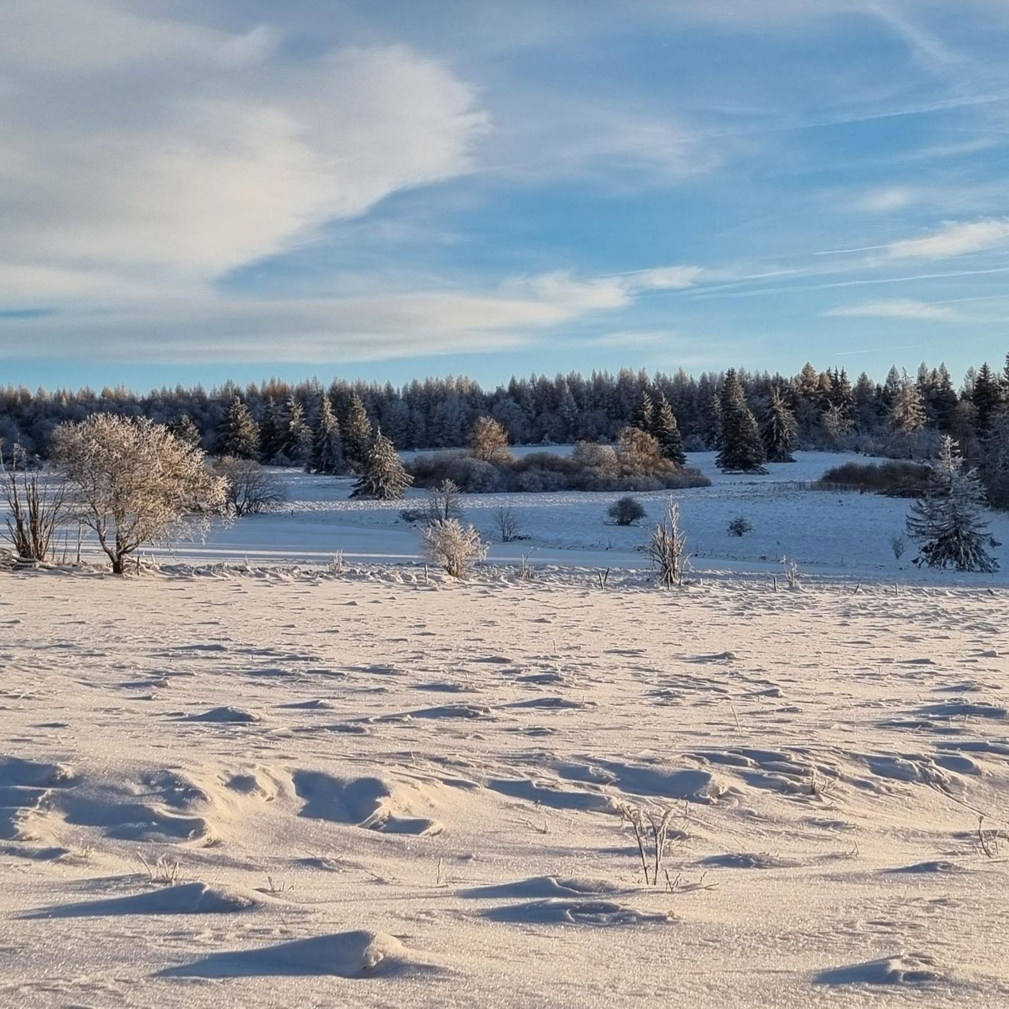
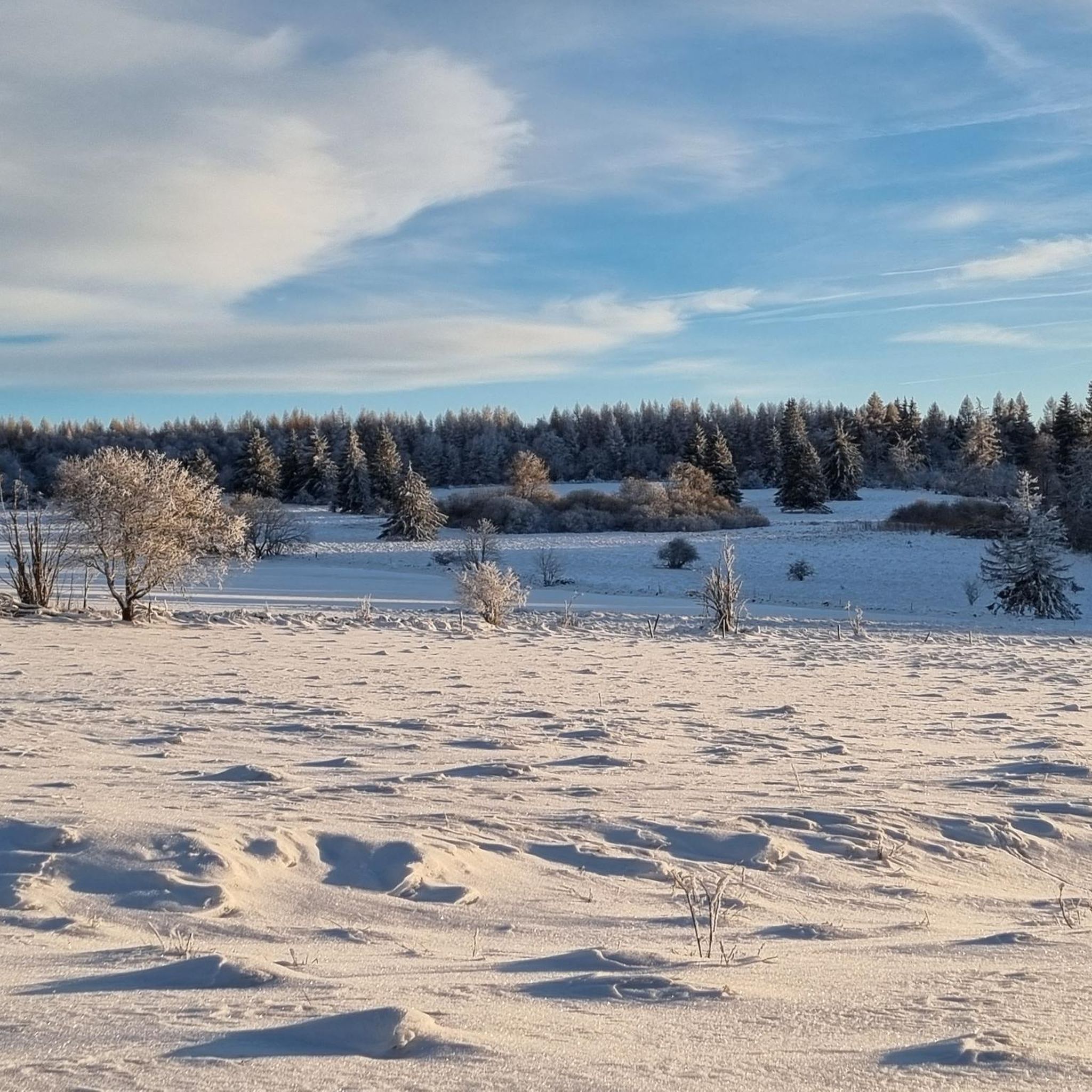
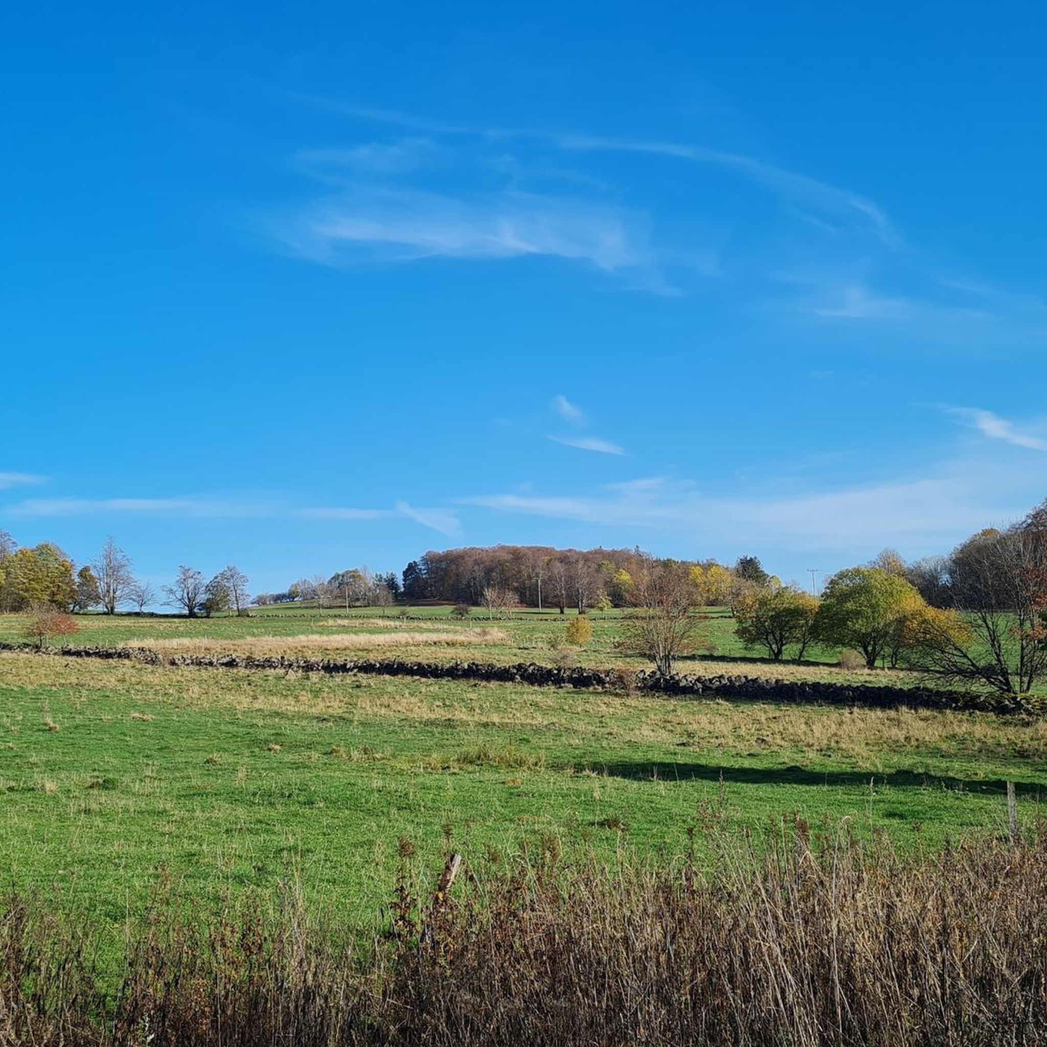
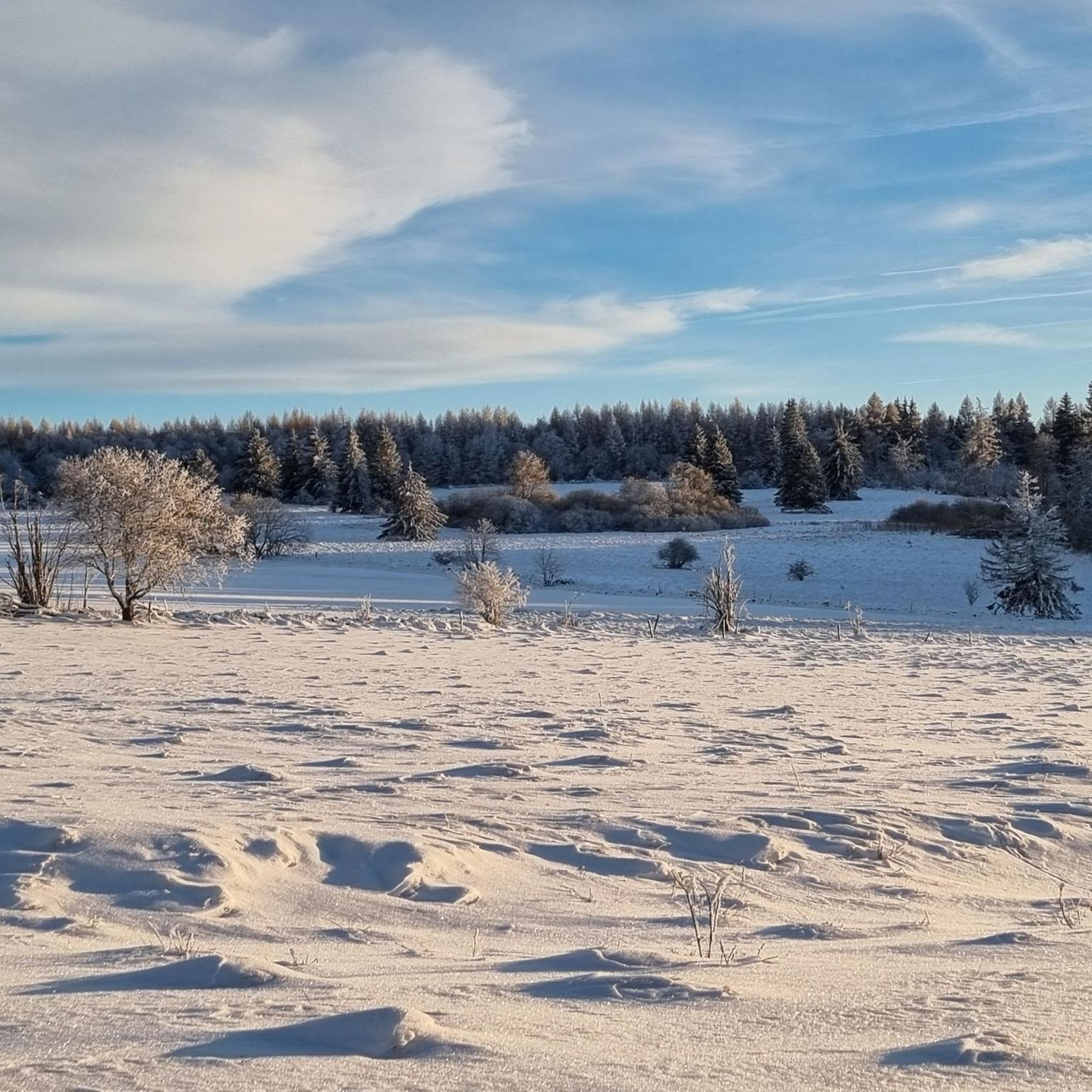
Tips from the Community

Very worthwhile to walk there - beautiful view from the tower.
0
0

The Milseburg is the most beautiful mountain in the Rhön.
0
0

Always beautiful and full of memories...
0
0

Oll Oll Oll Oll Oll oll oll ä Pop Pop LOL Oll LOL LOL LOL LOL LOL Oll Oll p ö Oll Oll Mol Oll LL LL LL LOL komm l p
0
2


Both top cycle paths and recommended
1
0

I've now completed the entire Ulster Valley Cycle Route, and the Milseburg Cycle Route is next. The Ulster Valley Cycle Route is highly recommended.
1
0

Frequently Asked Questions
How many gravel bike trails are available around Birx?
There are 10 gravel bike routes available around Birx, offering a diverse range of experiences for cyclists.
Are there any easy or family-friendly gravel bike trails in Birx?
While most routes around Birx are rated moderate to difficult, the region does offer paths suitable for a smoother experience. For instance, the Streutalbahn Railway Path – Fladungen Museum Railway loop from Fladungen follows a historic railway path, which typically provides a more even surface.
What kind of terrain can I expect on gravel bike routes in Birx?
Gravel biking around Birx features a diverse landscape, including sections of the Bavarian Rhön Nature Park, river valleys, and scenic mountain views. You'll encounter a mix of former railway paths, open countryside, and forested sections, often with significant elevation changes as routes traverse hills.
Are there challenging gravel bike routes for experienced riders in Birx?
Yes, Birx offers several challenging gravel bike routes. Seven of the ten available routes are rated as difficult. A prime example is the Schwarzes Moor loop from Flagunden - Bavarian Rhön Nature Park, which covers 23.1 miles (37.2 km) with over 600 meters of elevation gain.
What are the typical distances and elevations for gravel bike routes in Birx?
The gravel bike routes around Birx vary in length, generally ranging from around 17 miles (27 km) to over 23 miles (37 km). Elevation gains can be substantial, with difficult routes featuring over 600 meters of ascent, while moderate routes typically have 300-450 meters of climbing.
Are there circular gravel bike routes available around Birx?
Yes, all the gravel bike routes highlighted in the Birx area are designed as loops, allowing you to start and finish at the same point. This includes popular options like the Brand-Wickers Cycle Path – View of Milseburg loop from Eckweisbach.
What do other gravel bikers enjoy most about gravel biking in Birx?
The routes in Birx are highly rated by the komoot community, with an average score of 4.8 stars. Reviewers often praise the varied terrain, the scenic mountain views, and the experience of exploring the Bavarian Rhön Nature Park.
Are there any scenic viewpoints or landmarks along the gravel bike trails?
Many routes offer panoramic vistas of the Rhön Mountains and the Fulda Valley. Specifically, the Brand-Wickers Cycle Path – View of Milseburg loop from Eckweisbach provides views of Milseburg, and the View of the Rhön Mountains – View of Harbachstein loop from Hilders offers stunning mountain panoramas. You can also find natural attractions like the Boardwalk Through the Moor, Naturpark Hessische Rhön near some routes.
What are some natural attractions to explore near the gravel biking routes?
Beyond the trails, the Birx region is rich in natural beauty. You can explore various gorges such as Cascade Gorge or the Schwarzbach Gorge and the Teufelsmühle (Devil’s Mill) Waterfall. There are also interesting caves like Teufelskeller (Devil’s Cellar) and the Women's Cave (Klefallsloch).
Is there public transport access to the gravel biking trails in Birx?
While specific public transport connections to every trailhead are not detailed, the region is part of the Rhön Biosphere Reserve, which often has regional bus services. It's advisable to check local bus schedules for connections to towns like Fladungen or Eckweisbach, which serve as starting points for routes like the Streutalbahn Railway Path or the Brand-Wickers Cycle Path.
Where can I find parking for gravel biking trails in Birx?
Parking is generally available in the towns and villages that serve as starting points for the routes. For example, you can typically find parking in Fladungen for the Streutalbahn Railway Path, or in Eckweisbach for the Brand-Wickers Cycle Path. Look for designated parking areas near town centers or trailheads.
Most popular attractions around Birx

Get inspired with the komoot mobile app


Explore more
Browse the best Gravel rides in other regions.
